
West Silver Bell Mountain
January 25, 2020
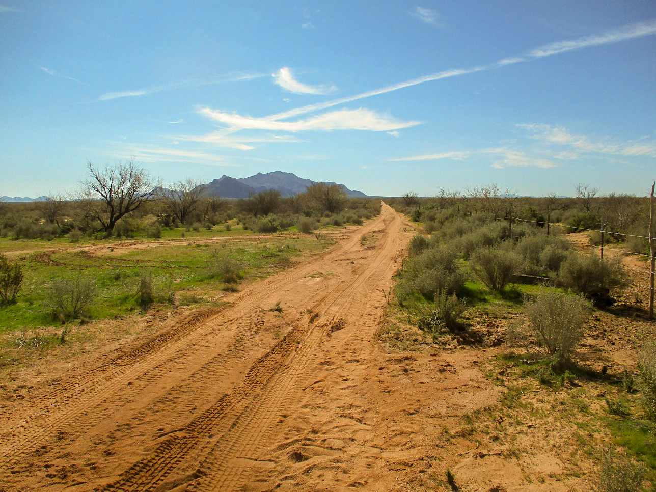
West Silver Bell Mountain is seen here, 4 miles away to the south, at the gate where the desert track leaves Aries Road
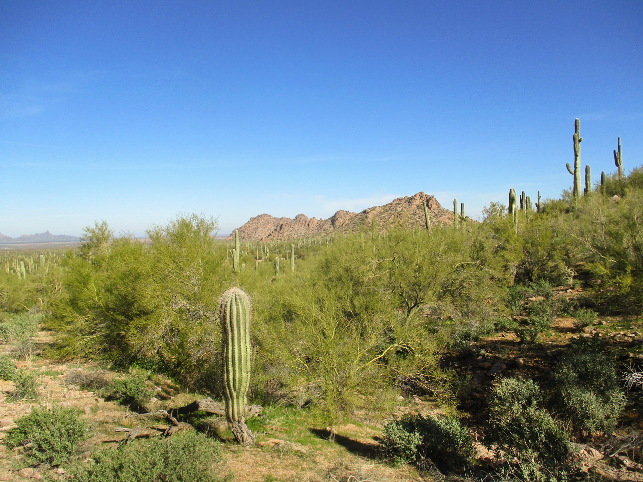
At the end of the road, a look north at the Tator Hills
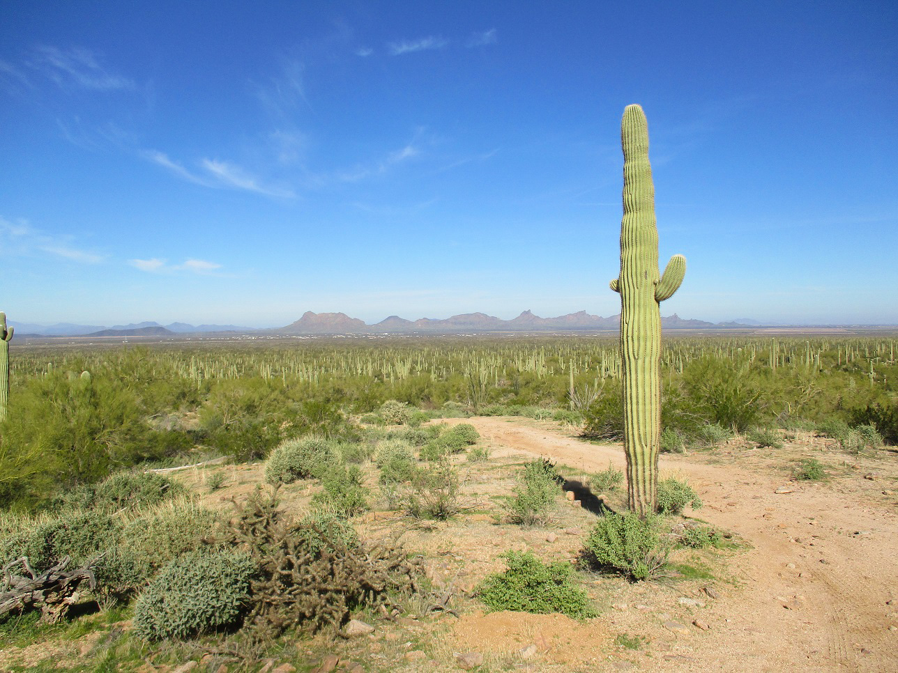
Northwest view toward the Sawtooth Mountains. If you look carefully, you may be able to spot a few examples of the rare Arizona saguaro cactus
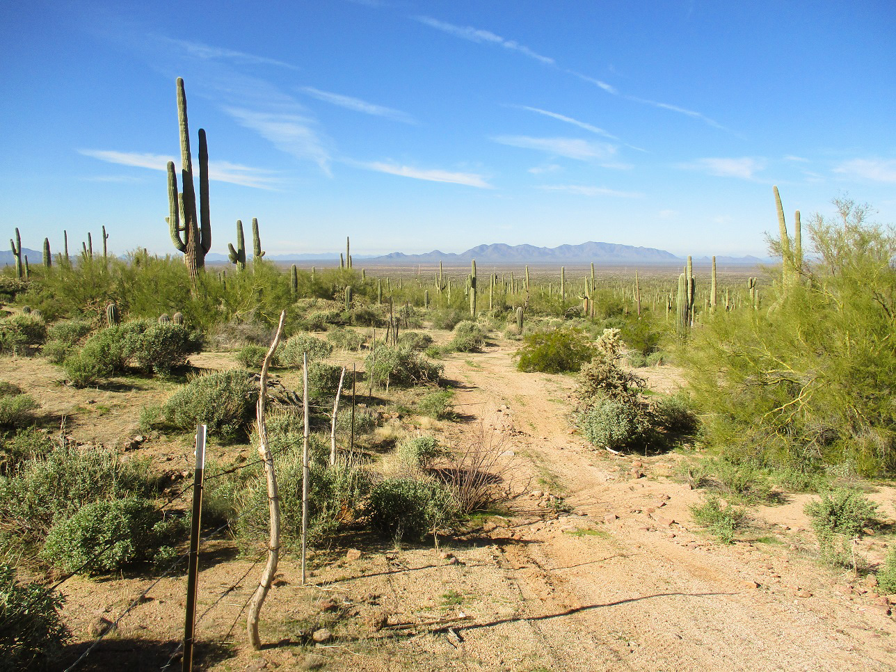
West view, the road that marks the Pima-Pinal County line runs west from here
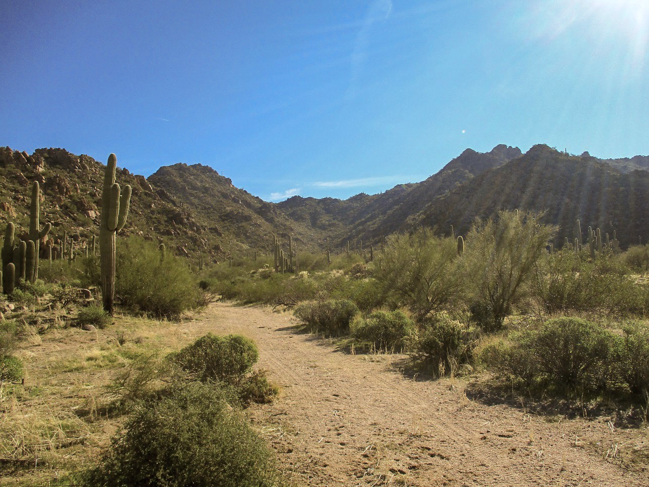
Looking up the initial canyon
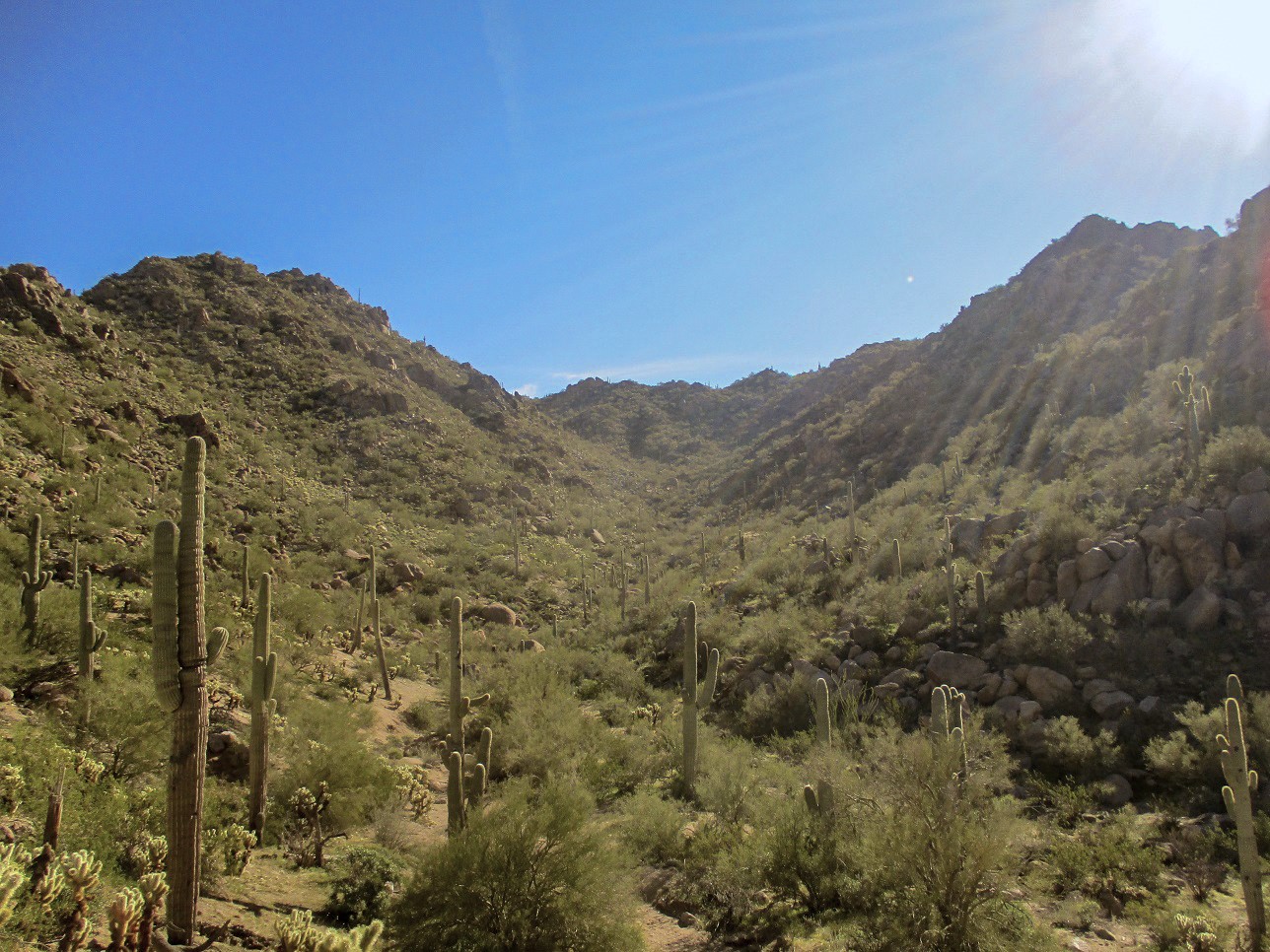
Now about half way up this lower canyon
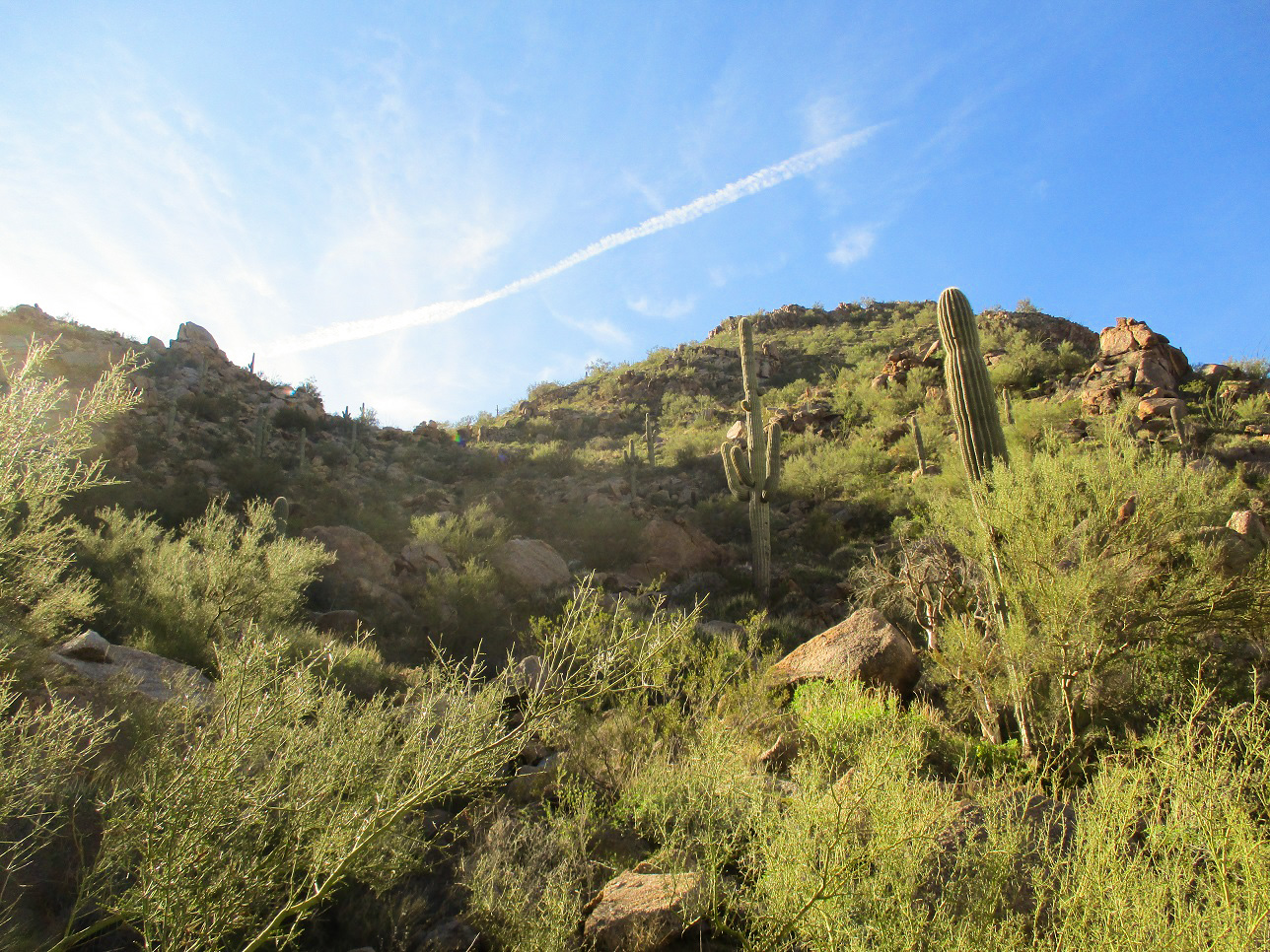
The canyon bends south, looking up at the ridgeline. The summit is not visible but is to the left
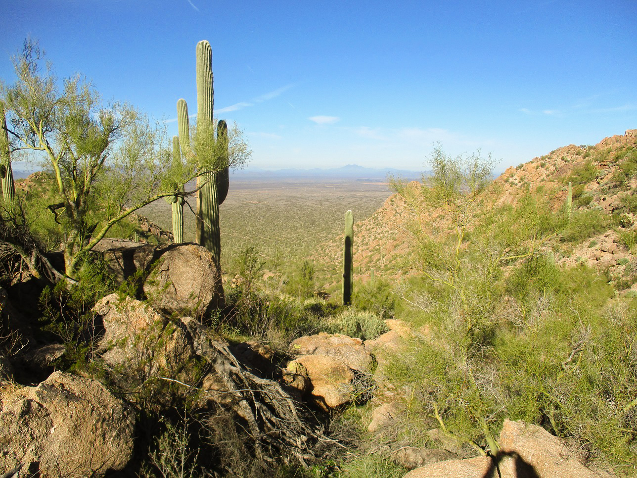
Looking down the lower canyon
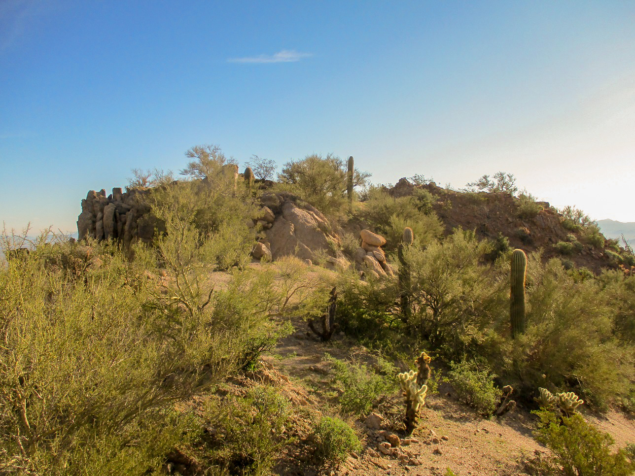
The summit up ahead
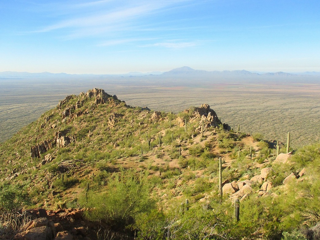
South view from the top
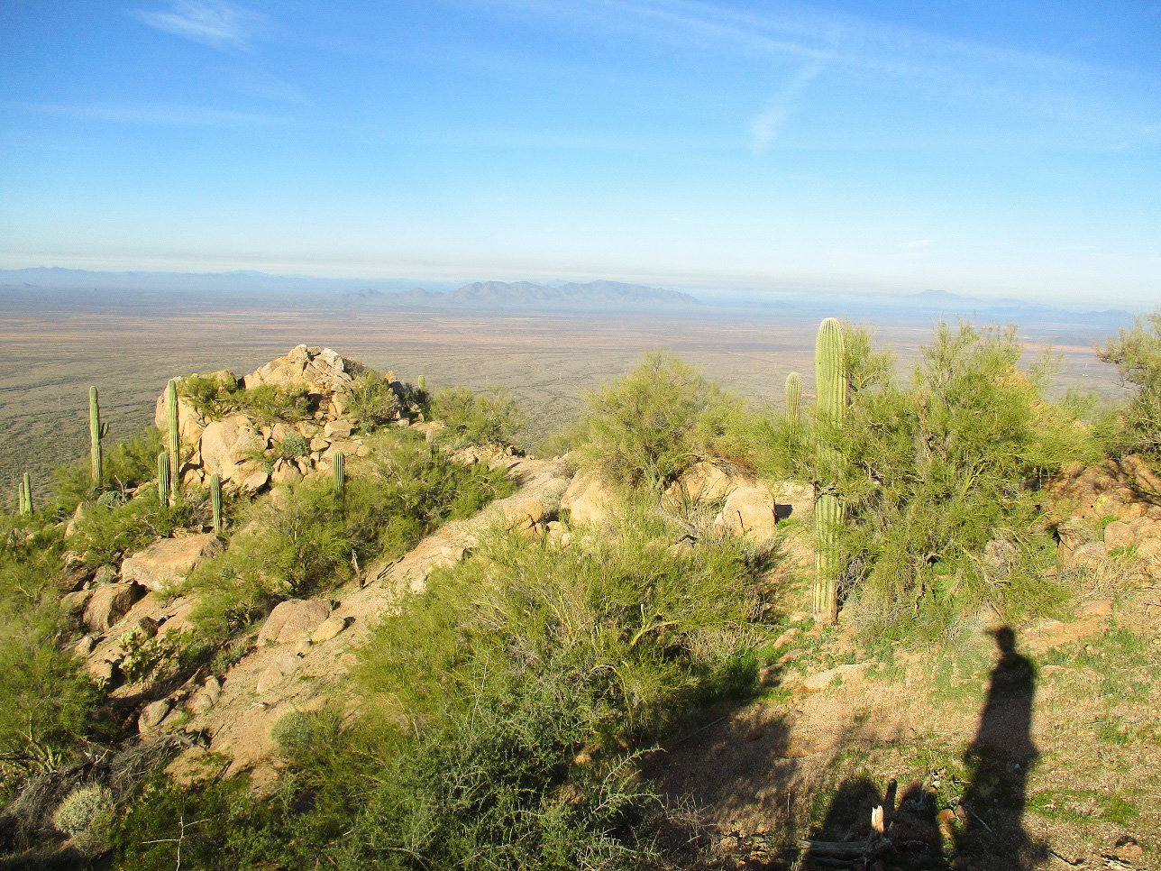
West view, the ridge immediate to the summit
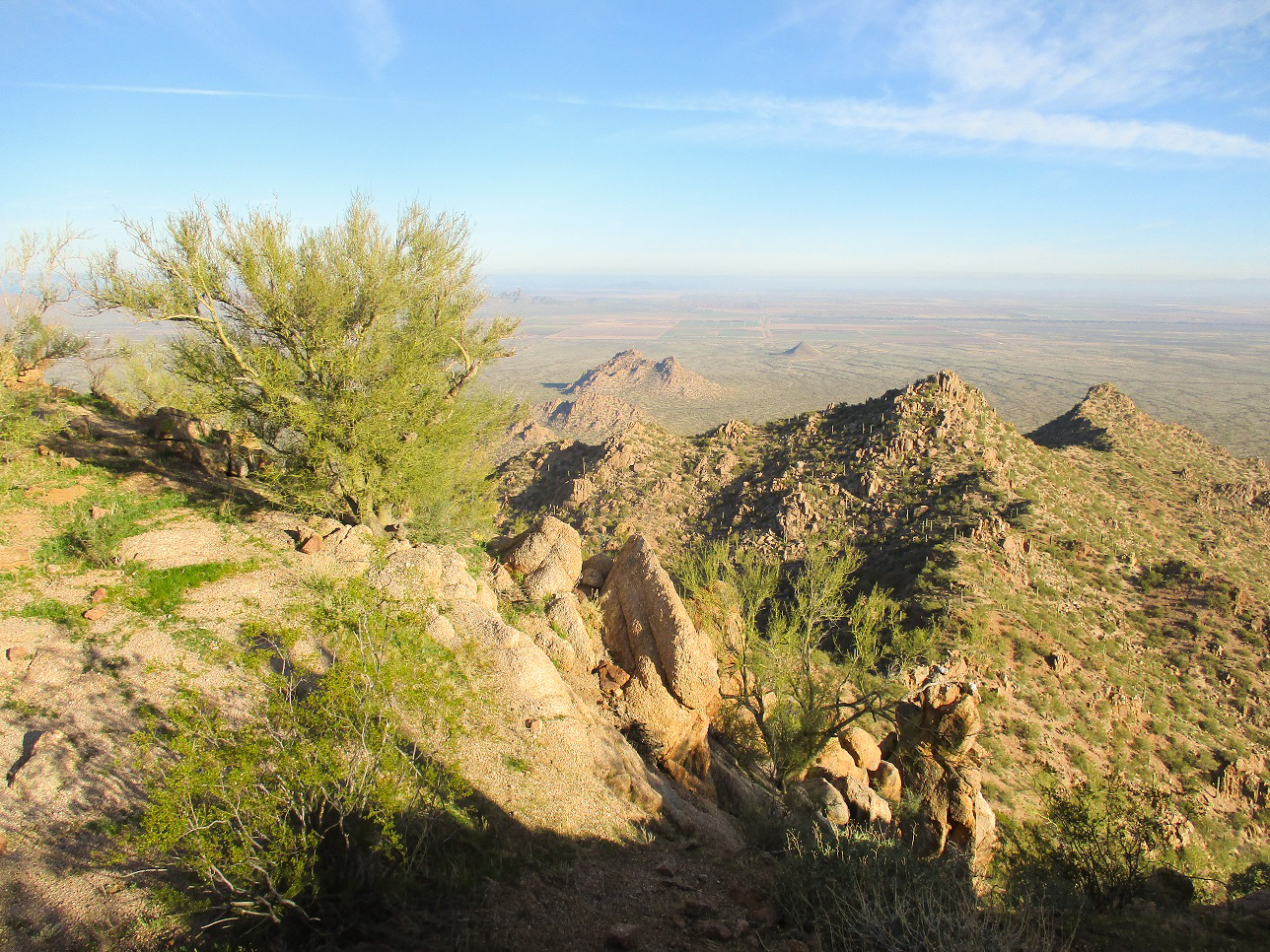
North View, Solo Peak is nearby
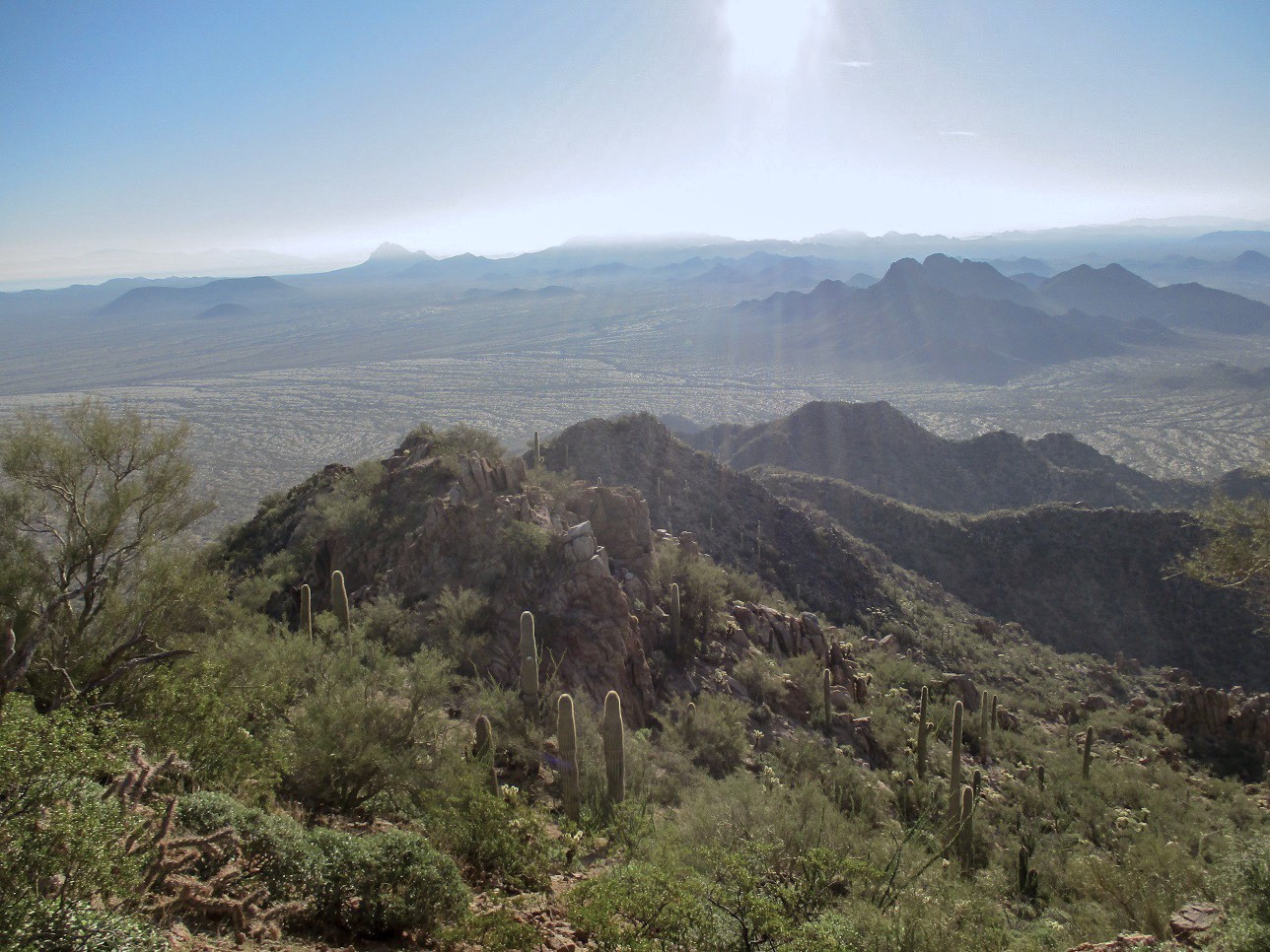
East view into the sun. The Silver Bell Mountains and the Waterman Mountains are seen. Ragged Top is to the left
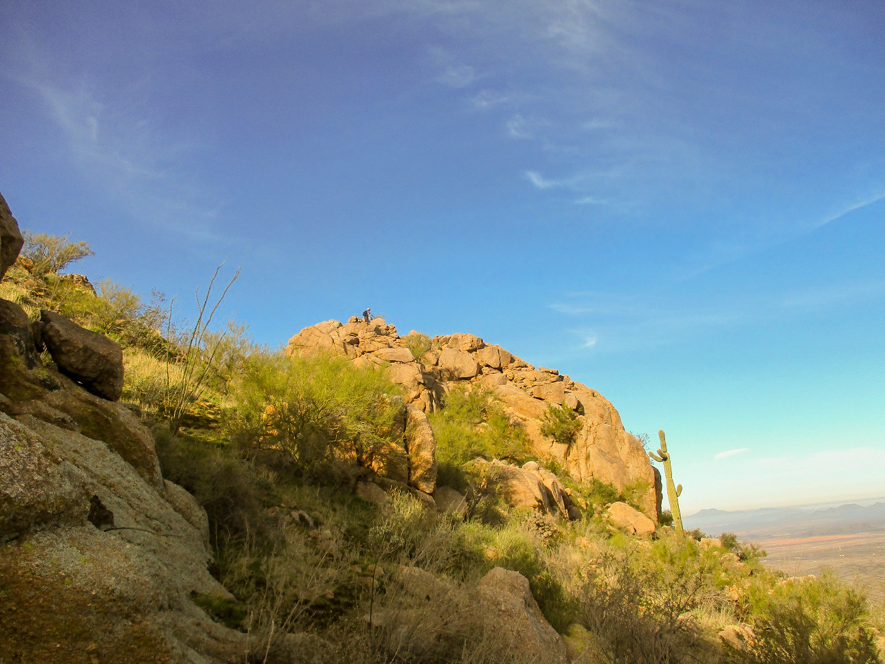
Scott explores a subpeak, checking out a red thing
Arizona Page • Main Page • Trip Report
Mobile version (c) 2020 Scott Surgent. For entertainment purposes only. This report is not meant to replace maps, compass, gps and other common sense hiking/navigation items. Neither I nor the webhost can be held responsible for unfortunate situations that may arise based on these trip reports. Conditions (physical and legal) change over time! Some of these hikes are major mountaineering or backpacking endeavors that require skill, proper gear, proper fitness and general experience.