|
|
|
Date: November 25, 2018
• Elevation: 4,052 feet
• Prominence: 1,052 feet
• Distance: 3.4 miles
• Time: 3 hours and 15 minutes
• Gain: 1,370 feet (gross gain)
• Conditions: Blue skies, strong breeze and cool, but overall very nice
• Teammate: Matthias Stender
Arizona
•
Main
•
AZ P1K
•
PB
•
LoJ
Ambiguity Alert: There are many mountains named Granite in Arizona. Others I have climbed are Granite Mountain in Scottsdale, Granite Mountain near Prescott, and Granite Mountain near Bartlett Dam.
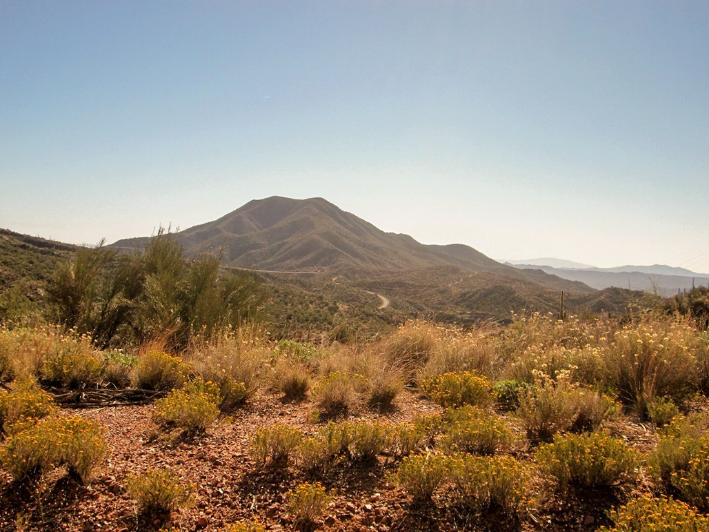
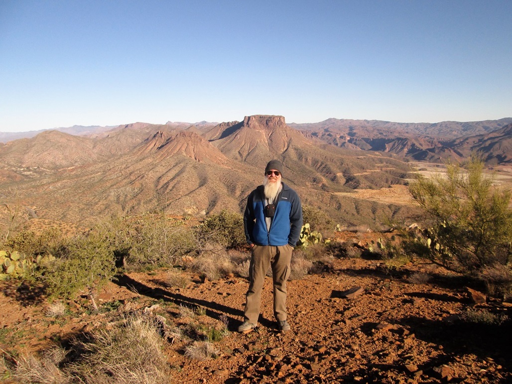
Matthias and I teamed up to hike this Granite Mountain, one of many in the state. This peak is about 10 miles south of Superior along Highway AZ-77, across from the massive open-pit mine at Ray. We had been here a month ago after hiking nearby Scott Mountain. Driving by, we got the idea for this peak for a future date.
The summit is close to the highway, and from the road, the slopes seemed consistent and lacking cliffs and rock outcrops. The brush did not look too heavy. It looked like we could be up and down this peak in just a couple of hours. We met one another at the Wal-Mart in east Mesa, and I drove us to the peak, a distance of about 40 miles from Mesa. I parked in a pull-out on Battle Axe Road, just north of the peak, about a quarter-mile from the highway. It was about 7:15 when we rolled in. The sky was clear but it was cold with a brisk breeze.
We started hiking at 7:30, elevation about 2,975 feet, walking up an old ATV track that goes part-way up the first hill to the south. The track is closed to vehicles but open to hiking. The meager road ended on a lower hilltop. We walked a few more yards to top out on this first hill, about a 150-foot gain. The peak and its long north-trending ridge was visible, and it looked inviting.
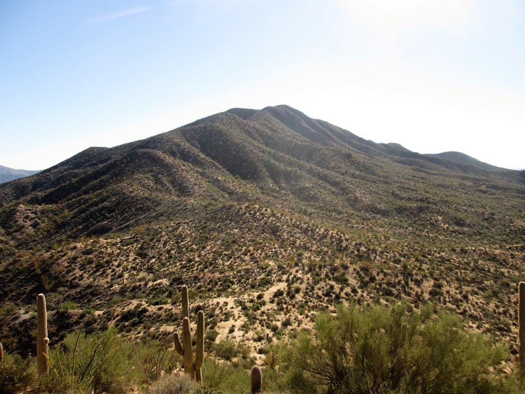
We dropped about 100 feet to a saddle, then simply marched up the spine of the ridge. We found trails in many spots, some probably cow paths and others definitely human-enhanced. Hunters come here so they probably knocked in some of these trails. But the trails were not necessary. The brush was light and spread out, and we could see our way easily, not needing to weave through thick tangles or deal with blocked views.
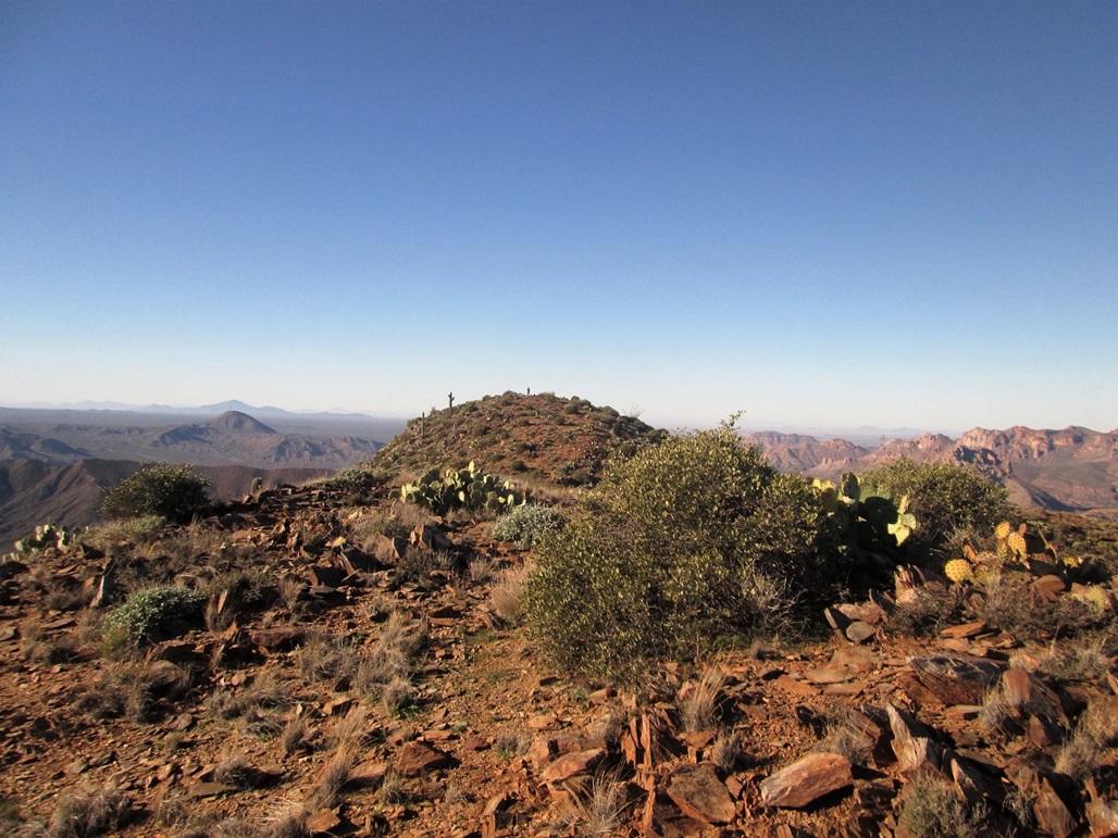
The first hill after the saddle was moderately steep. Soon, we were above it. From here on, we would hike steeply, top out on a small knob, drop about 20 or 40 feet, then hike up some more. There was absolutely no trick to this. In less than 90 minutes from the car, we were on top of Granite Mountain, a net gain of about 1,075 feet from the car, but adding in another 150 feet because of the drops we had along the way.
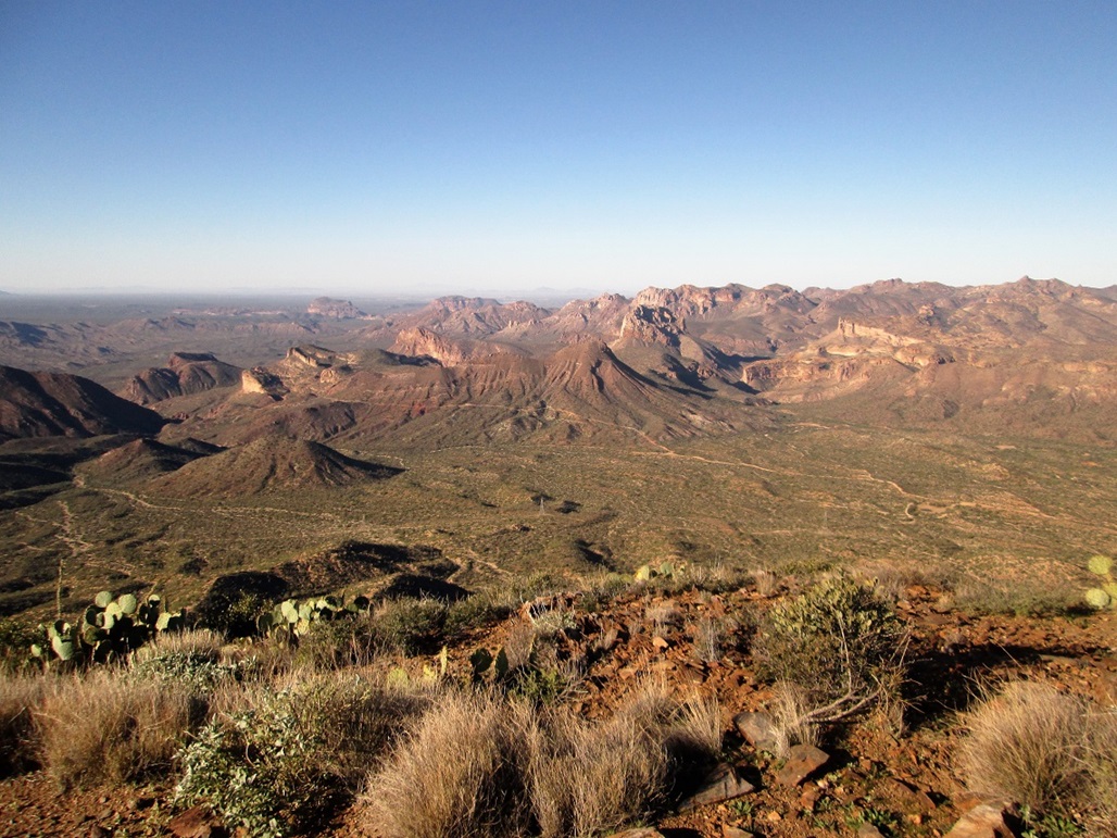
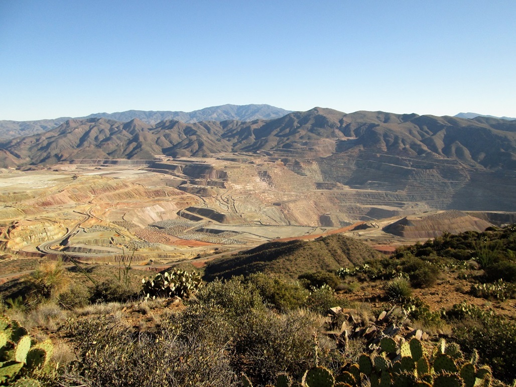
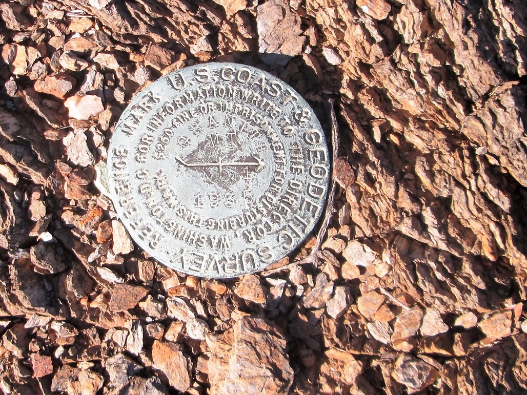
The summit is bare and covered in small shale-like rock fragments. We signed into the register then looked for the benchmark, which we could not find. Matthias was able to locate one of the witness markers. There is a lower peak to the east which I walked over to. From here, I had an unobstructed view down into the Ray Mine. Its size is mind-boggling. I thought the surveyors may have hidden the benchmark along the way, but they did not. Back at the main summit, we sat around and picked out all the peaks we've climbed or plan to.
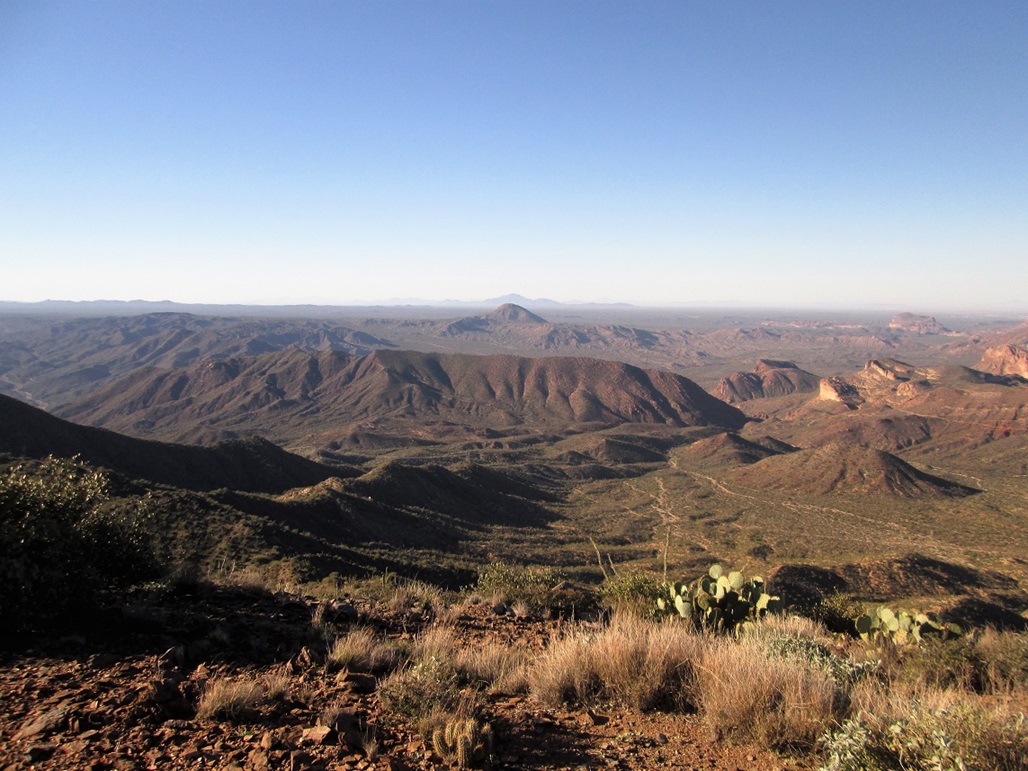
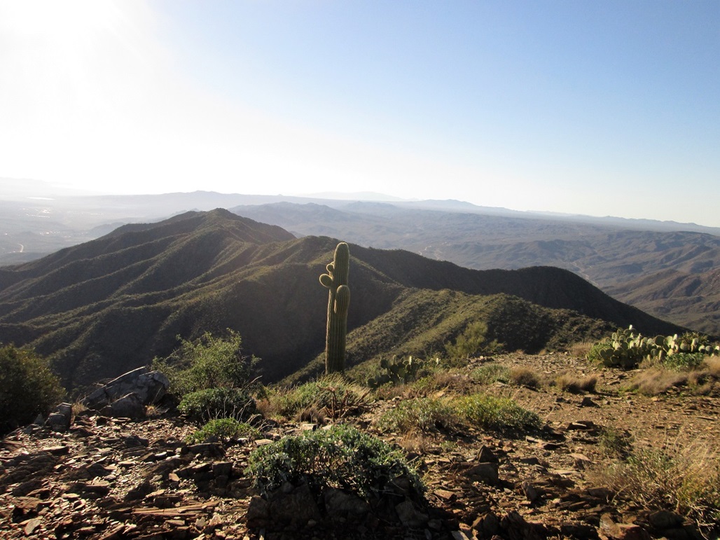
The day was beautiful, with blue skies and no clouds, but the wind was heavy for most of the hike up. However, at the summit, it was not as bad. The temperatures were still cool, in the 50s. We could see peaks as far off as Mount Graham, Mount Wrightson, Coyote-Kitt-Baboquivari, and Gu Achi, plus all the dozens of nearby peaks such as Scott Mountain, Picketpost, Pinal Peak, Superstition Peak, Newman Peak and Weavers Needle. After about 40 minutes, we started down.
The hike down went fast and we followed the same route as we did going up. The steep parts weren't bad at all. We were back to my car at 10:45 a.m., about a one-hour egress. After changing, we piled in and drove back to Mesa, where Matthias could get his car.
This little nondescript peak does have over 1,000 feet of prominence but apparently does not belong to a named mountain range. It's in a line of peaks north of the Tortilla Mountains, which apparently end at the Gila River about 10 miles south. In more general terms, it could be considered part of the "Superstition Complex" of ranges. The log held the names of the usual two dozen peakbaggers in the state, about three or four groups per year, plus whatever hunters get up here.
The hike went better than expected, and we weren't expecting it to be difficult in the first place. The route was always obvious, the brush low, the slopes tolerable, the navigation wide open and easy, and the tread solid and not full of gravelly crud. It is a fun hike if you are in the area with about 3 hours to spend.
|