November 25, 2018
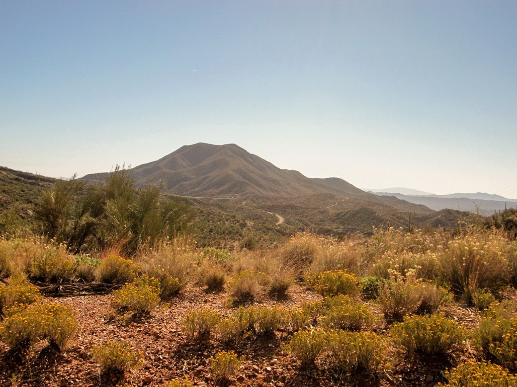
Granite Mountain viewed from along Highway 177
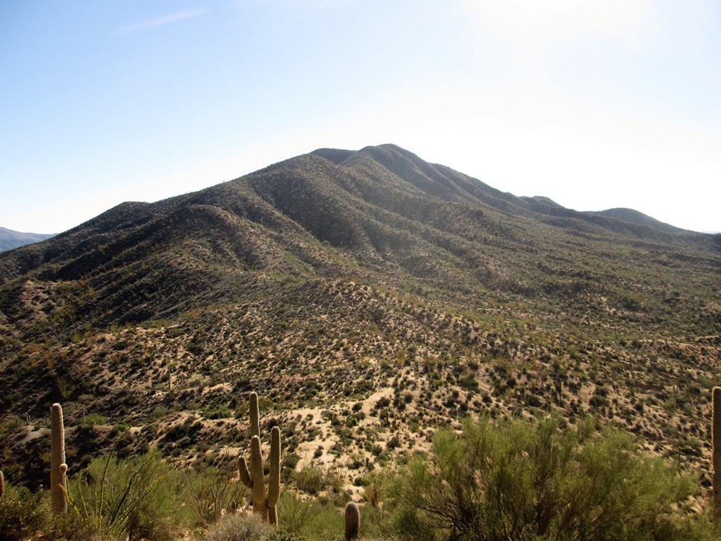
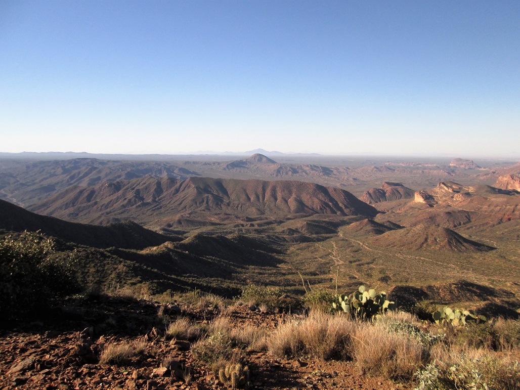
The summit and the whole ridge we would follow, as viewed from the first hilltop above the parking area
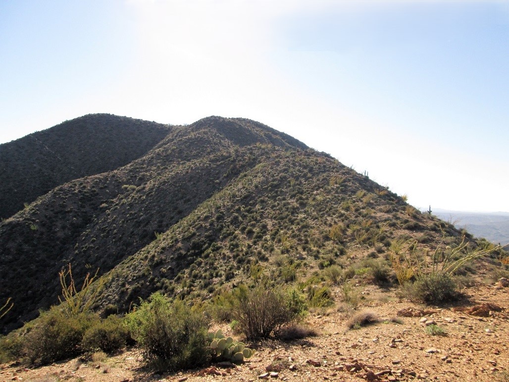
A tad closer in
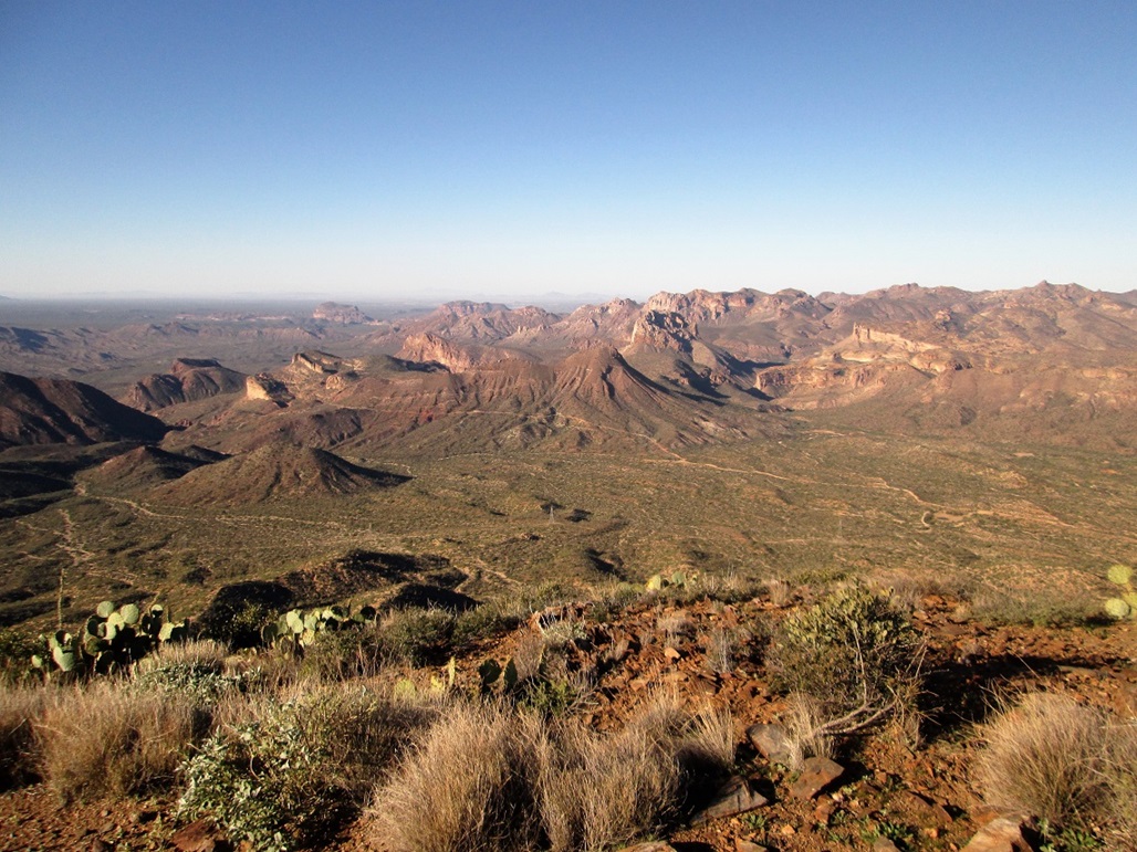
View west from the summit. Copper Butte is the double hump closer in with the roads all over it
View southwest: The Spine, Grayback, and Newman Peak way in back
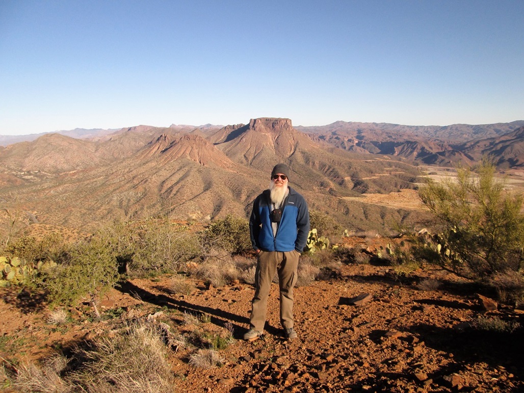
Me, with Teapot Mountain in back
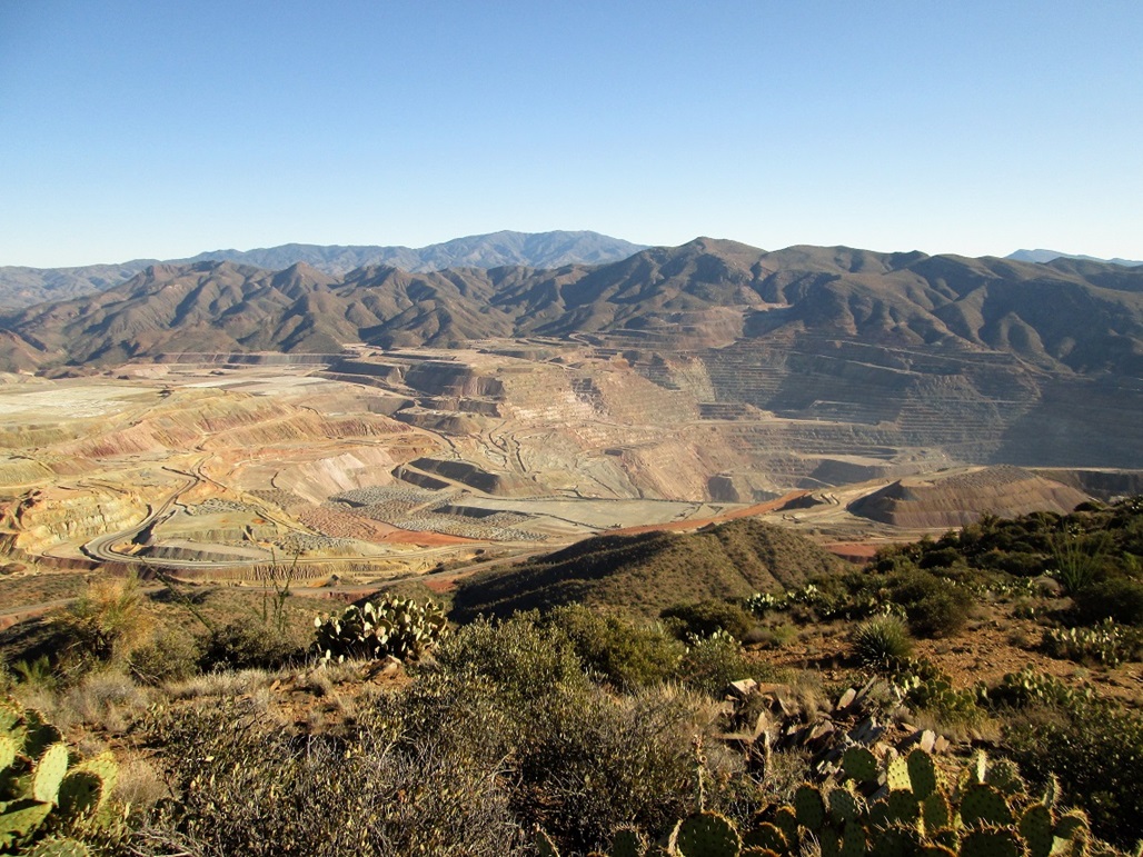
The Ray Mine, with Scott Mountain in back, and Pinal Peak way in back
View of the summit from the lower eastern bump. That is Matthias standing on top
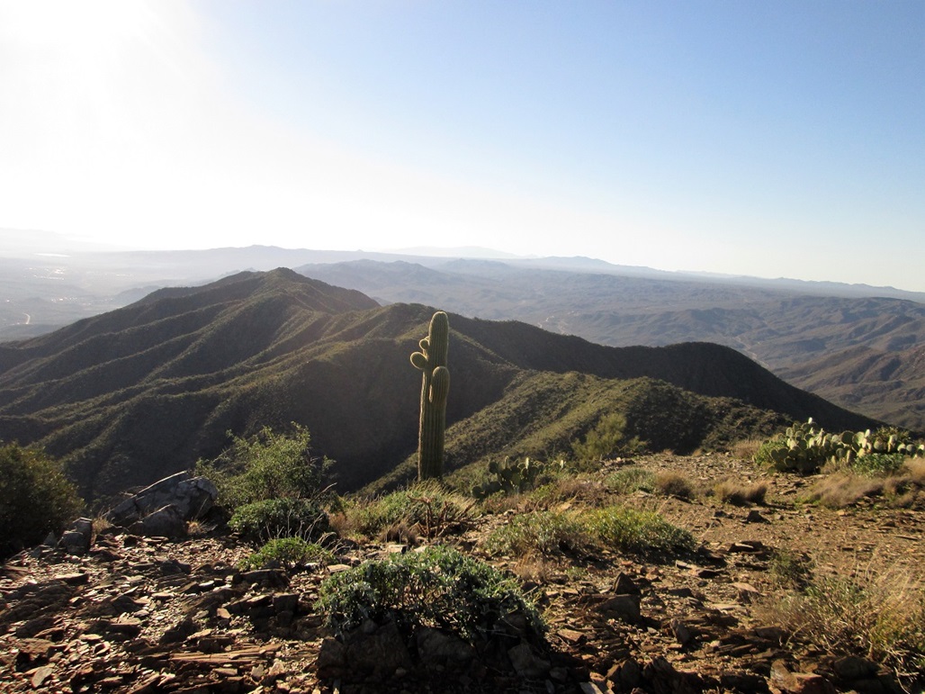
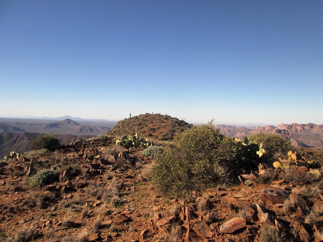
South view of the range
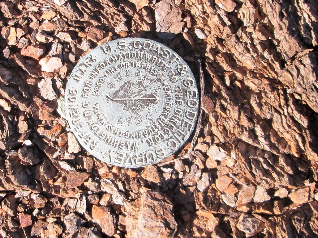
Witness Mark. We could not find the actual benchmark
Arizona Page • Main Page • Trip Report
(c) 2023 Scott Surgent. For entertainment purposes only. This report is not meant to replace maps, compass, gps and other common sense hiking/navigation items. Neither I nor the webhost can be held responsible for unfortunate situations that may arise based on these trip reports. Conditions (physical and legal) change over time! Some of these hikes are major mountaineering or backpacking endeavors that require skill, proper gear, proper fitness and general experience.