The Mountains of Arizona
www.surgent.net |
|
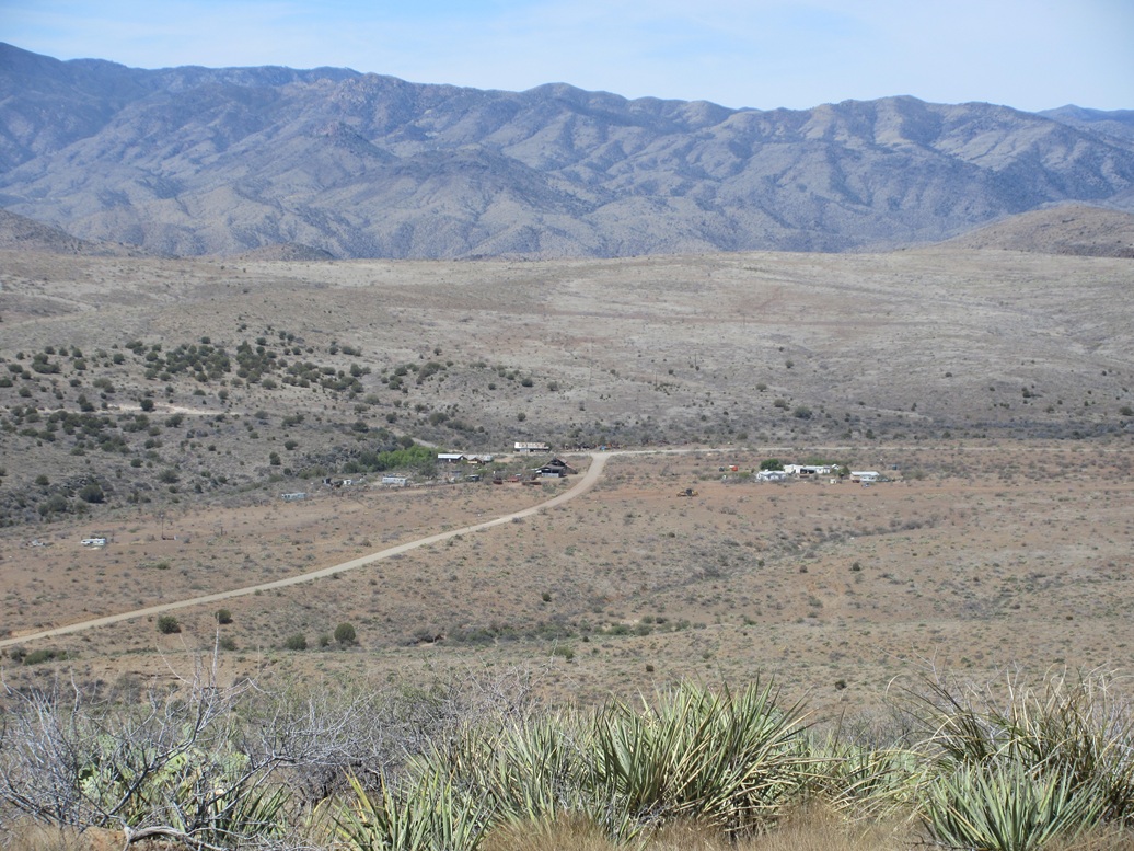
Peak 4933 • Peak 4673 • Cordes Peak Today I would be exploring some peaks and roads in and around Cleator, about an hour north of Phoenix. Cleator is a tiny yet functioning village tucked back in the lower Bradshaw Mountain foothills, about halfway between Interstate-17 and Crown King. I've been through Cleator a few times over the years, but until today, not in many years. I zeroed in on De Soto Peak, which is about fifteen miles west of the interstate. The road that leads up to De Soto Peak branches off of the Crown King Road a couple miles west of Cleator, and is flanked by two peaks, Peak 4933 and Peak 4673. With further study, I decided to skip De Soto Peak for now and save it for a cooler day as it would require considerably more walking. The two latter peaks would be my new primary goal. I did not camp this time. I took a cheap hotel in Chandler and was on the road by 5 a.m. to beat the traffic, which I did. I was able to get through downtown Phoenix via Interstates 10 and 17 with no problem. In all the years I lived in Phoenix, I rarely drove Interstate-17 because usually, there was no need to, and also because it is notorious for traffic. It's an older freeway with narrow lanes, dips under bridges, and no merge lanes for incoming traffic. But at this early hour, while crowded, wasn't too bad. I was able to go at freeway speeds. In about an hour, I was north of the city, passing through Black Canyon City, taking a look at the new freeway construction up here. I drove up the grade, and exited the interstate at the Bumble Bee Road exit. This particular exit is going through some major reconstruction. Among other things, the entry for the southbound lanes is shut. If I returned this way, I would be forced to take the northbound highway to the Sunset Rest Area exit, then double back. That prompted me to consider adding on some more back roads to my journey, going up through Cordes and catching the interstate at the Bloody Basin interchange. I was last on this road fifteen years ago, give or take. The Bumble Bee-Crown King Road was in decent shape, and I drove along slowly, not in any hurry. I passed through Cleator at about milepost 13, then a couple more miles west to a side road that leads up and into the hills toward my two peaks for the day, and eventually, to the the De Soto mines and peak area.
Date: April 30, 2025
• Elevation: 4,933 feet
• Prominence: 413 feet
• Distance: 3.2 miles
• Time: 2 hours, 45 minutes (whole hike)
• Gain: 1,120 feet
• Conditions: Sunny, clear and cool for now
Arizona
•
Main
•
PB
•
LoJ
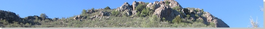
This side road is unmarked, but a couple of very old signs still stand, whatever was on them having been eroded away over the years. The road's quality is decent, and I was able to drive in a little under a mile past a gravel yard used by the county, and a corral. I parked behind a mound of gravel. The two peaks rose above to the northwest, with Peak 4933 being the more dramatic of the two, with a band of cliffs on its highest ridge. Peak 4763 rises to the northeast, a gentler peak with no cliffs.
I had a deja vu moment. I recall this being the location of a day-long training we had here when I was a member of the Maricopa County Sheriff's Mountain Rescue team. It was a cave and mine training, and we were practicing rappels and litter carries within the confines of a mine. This would have been in late 1999. Suddenly, being here, it all came back fresh in my mind.
I started walking at 6:40 a.m., the day sunny and pleasant, temperatures for now in the high 50s. I had a little over a mile of the road to walk, up toward a pass between the two peaks. This road walk was easy. The road itself is borderline decent. It's wide and free of large rocks, but it is a little haggard and loose in a couple spots too. I recall in 1999, I had a smaller 4-wheel drive pickup that I had to baby up the road because it lacked the power. There are a couple tight turns with loose tread. For walking, it was no problem.
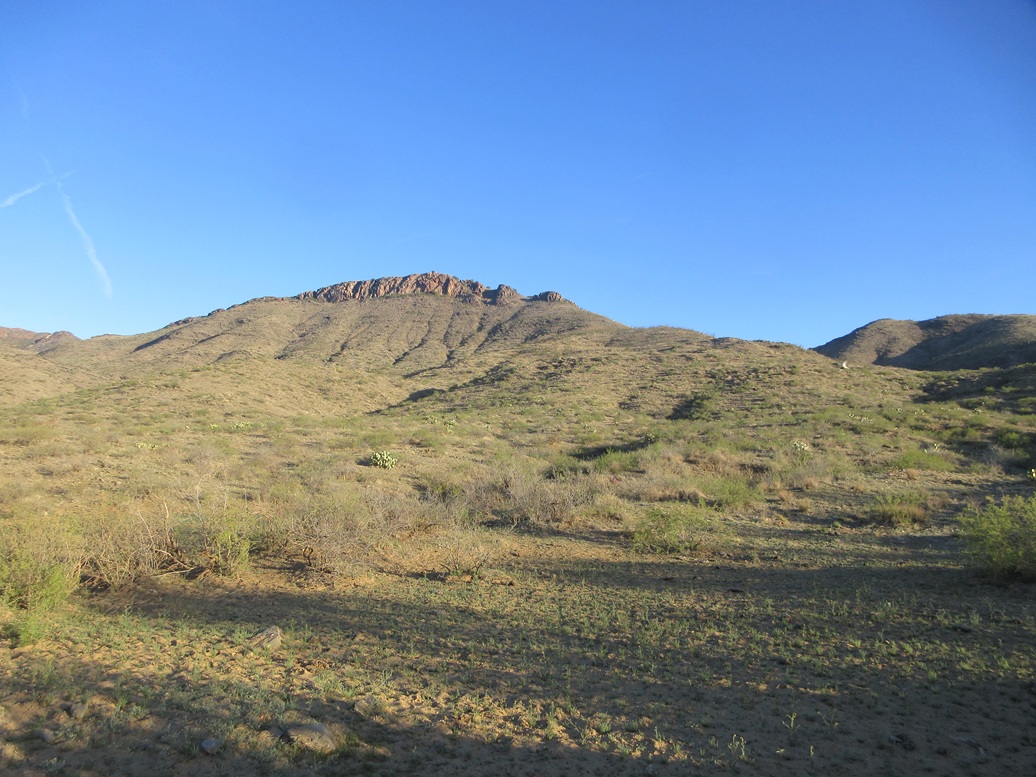
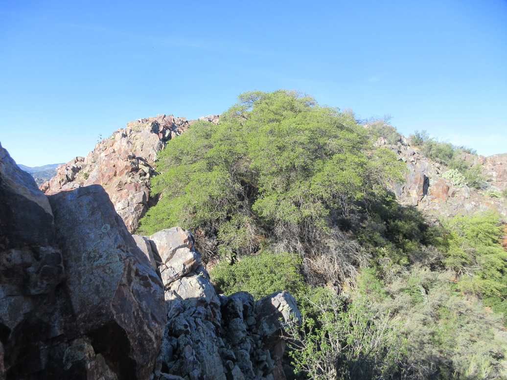
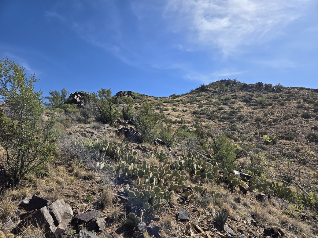
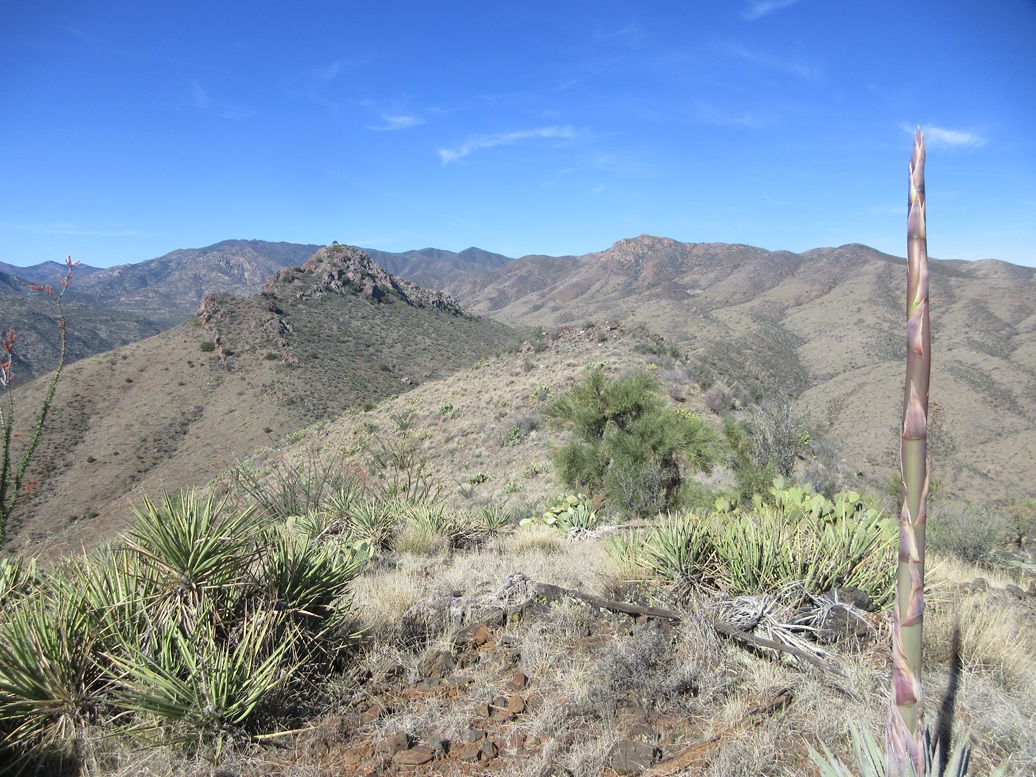
In about twenty minutes, I was at the pass. My plan was to hike the bigger of the two peaks first, Peak 4933, which rises southwest of the pass. This is the peak with the cliff band seen from below. From the pass, there were more cliffs but also some slopes interspersed within, so that a route should be possible without having to scale the cliffs directly.
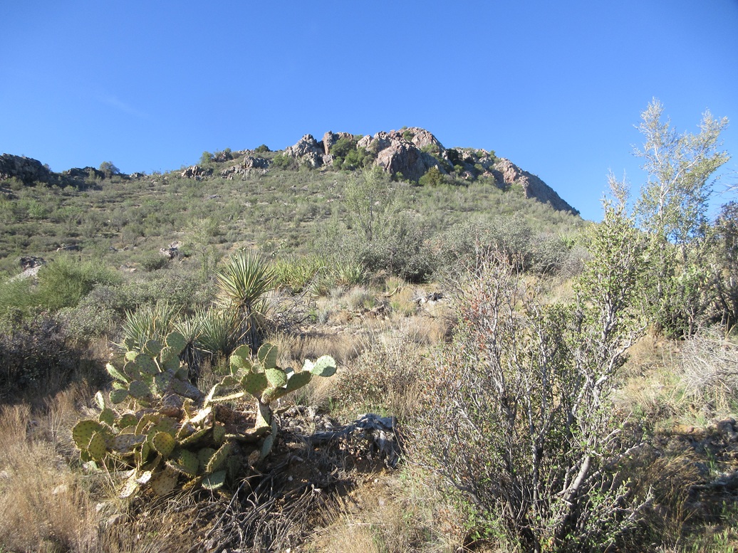
I passed through a gate at the saddle and walked the road a little more, then started up the slopes. It was brushy with cactus, grass, small oaks and lots of holly bush. Rocks were sometimes loose, but the grade was lenient at first, and I followed game paths and possible people paths for about half the ascent. The cliffs naturally forced me to angle left toward a lowpoint. Here, I had to ascend a band of heaped rock where hands were needed for balance.
I was now on one of the intervening slopes. I angled slightly right and aimed upward, keeping close to a rock band on my left and traversing over talus. I went up to a rock promontory only to discover I had about an 8-foot "step" to descend, so I went low and battled the brush briefly, now on another of the intervening slopes.
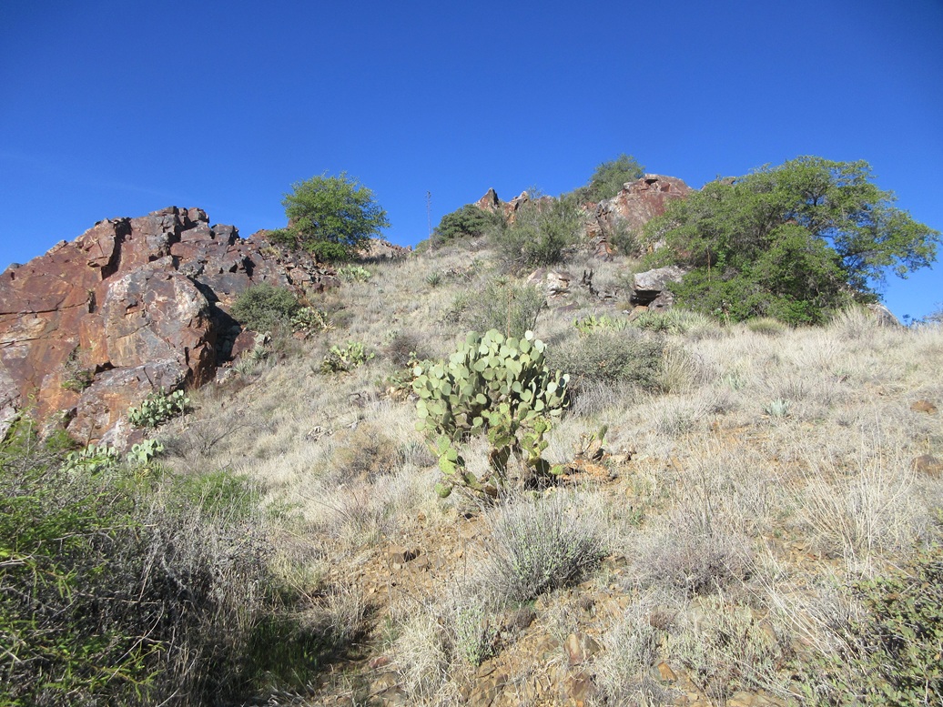
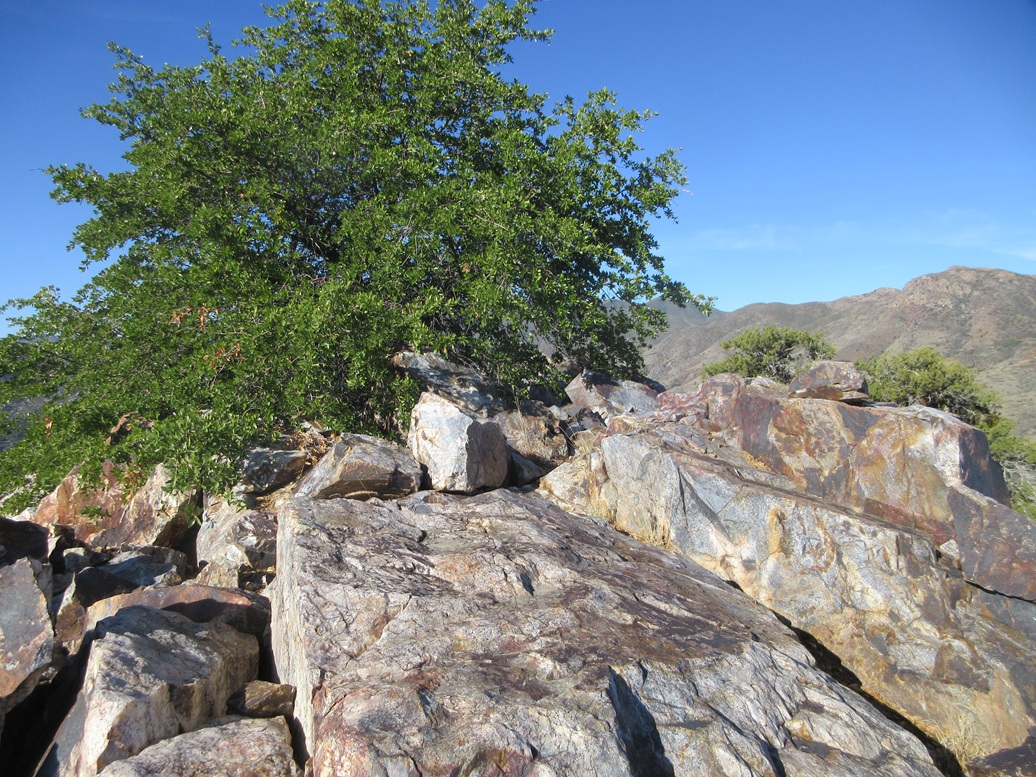
I kept going upward, to a narrow saddle above me. Now I could see the top, but I had to descend a sloppy slope to a lowpoint, then squeeze through tree branches and up awkward rocks until I was on the final rock slope. This final slope was steep, but the rocks were larger and more solid, and suddenly, I was on top, a small cairn atop a large rock saying so.
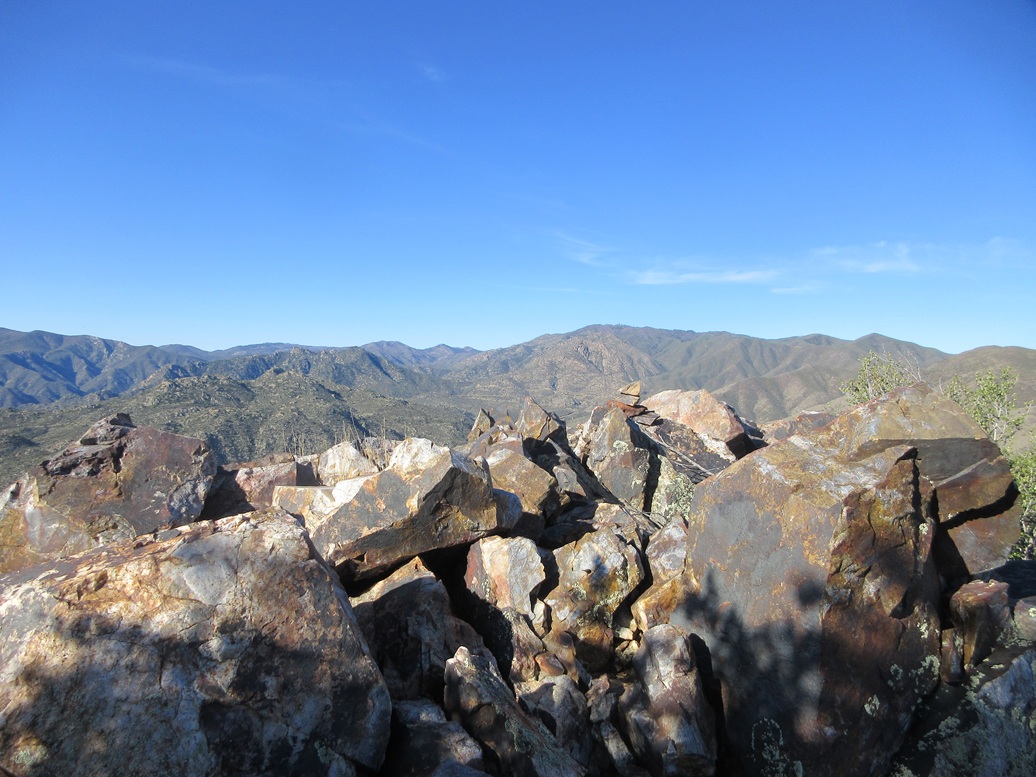
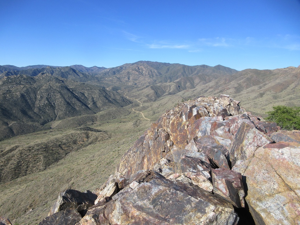
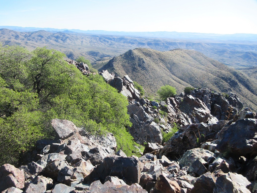
The views were excellent, with an elevated perch to look down on Crown King Road, Cleator, the peaks by the De Soto Mine, the higher peaks of the Bradshaws, and all sorts of hills and valleys in every direction. I sat for a break on a nearby sitting rock.
Another possible highest rock is about thirty feet around the other side of a tree. It too had a cairn, so I tagged it. I did not see any registers or other hints of past visitors. This is not an often-climbed peak, the rockiness probably spooking the casual hiker. I found the ascent to be challenging but not difficult, the scrambling never exceeding Class-2, with maybe a Class-3 move once or twice.
For the descent, I stuck exactly to my ascent route and went slowly, ensuring the rocks stayed put. Once down below the cliffs, it was an easy stroll down the slope back to the gate at the saddle.
Elevation: 4,673 feet ✳
• Prominence: 348 feet ✳
• Distance: 0.6 mile
• Gain: 348 feet
• Conditions: Same
PB
•
LoJ
•
Lidar
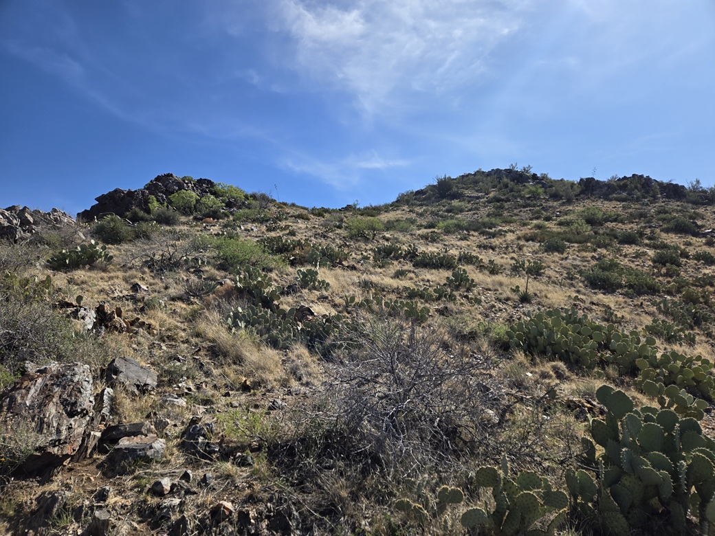
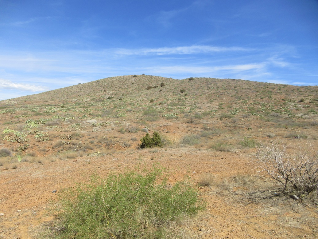
By comparison, Peak 4673 would be a walk in the park. The peak is basically a mound with slopes to the top and minimal rockiness. I just started up a slope and took it from there.
About fifty feet up I came to some tailings, then to an open uncapped vertical mine shaft. I looked in and it went down a ways. I stayed back, of course. On that 1999 training, we spent time setting up raise and lower systems from an opening, but this shaft seemed too narrow. Whatever opening we were at was probably close by. I recall it being much larger and much rockier.
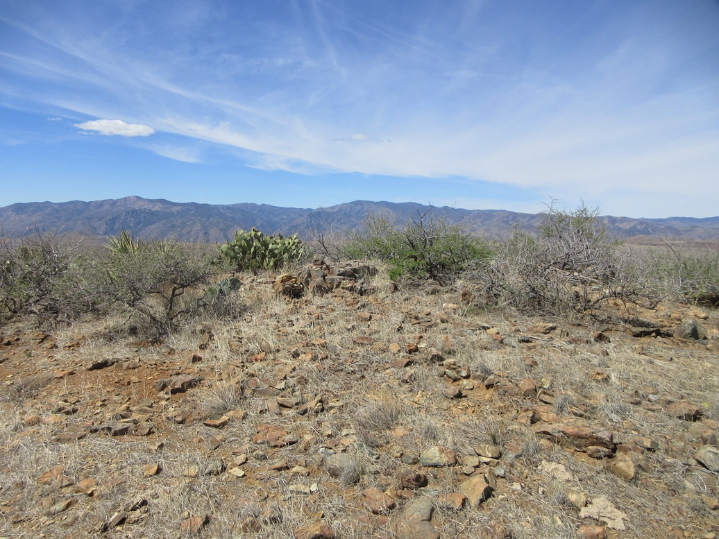
I came to a sloping rock band and stepped through it, now on another slope, which I followed up to a saddle. Then I angled right and walked up a path, believe it or not, through some very easy cliff bands, topping out on the western of the two summit.
The eastern summit is about 150 feet away, and I was there quickly. The eastern bump is clearly the higher of the two. There wasn't much here, but the views were nice. I was able to see the rocks, slopes and cliffs better over on Peak 4933.
For the descent, I generally kept to my ascent route but it didn't matter much; any downward bearing would get me to the saddle and the road. This second peak took just a half hour and was a perfect bonus peak following Peak 4933.
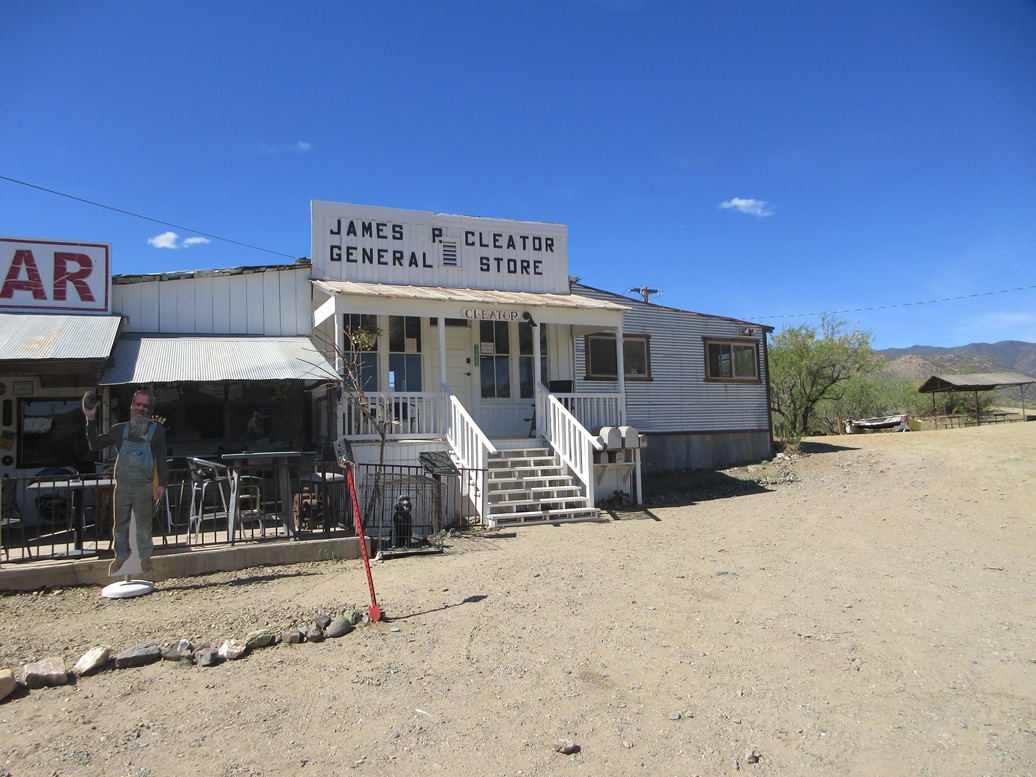
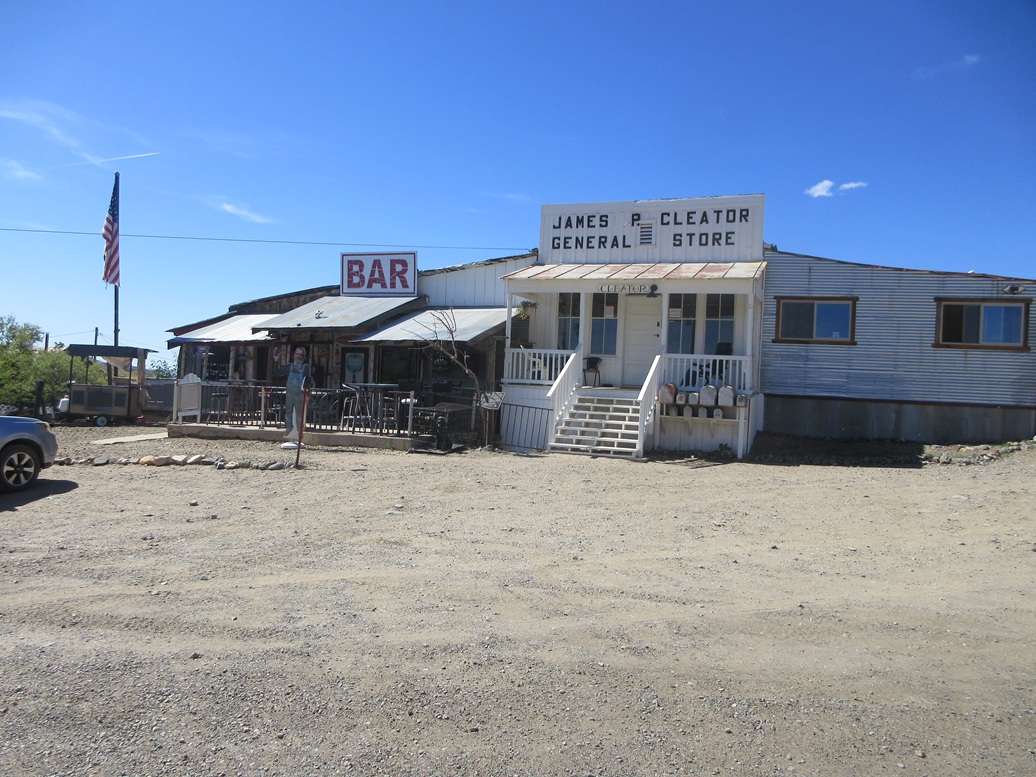
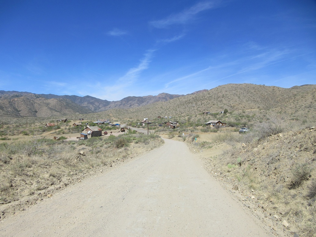
It was still early, about 9:30 a.m.. I had no urgent plans, so I relaxed a little, then drove out, stopping in Cleator to walk around and get some images.
Cleator the town has been around for about 160 years, mainly to support nearby mines, and known by various names before being renamed Cleator in 1925 by its new owner, James Cleator. It has never been a big place, but it somehow has survived almost continuously to the current day. It is a legitimate village of about ten houses and structures, a general store and a bar. The population is about a dozen. For most of the past half century, Cleator has survived on tourism, people driving to and from Crown King stopping in to visit the tiny village. My wife and I stopped in about twenty years ago, missing its parade by one day, which bummed us. I would have loved to have seen it. A catamaran off to the side represents the Cleator Yacht Club. I spent about fifteen minutes here, talking with another guy who had rolled in and parked. The store and bar were closed. I walked around and snapped a few images, then got rolling. I did not want to return to the Interstate at the Bumble Bee exit for reasons I stated above, so a few miles west of Cleator, I caught another well-maintained dirt track that went north toward the tinier village of Cordes. This is also an inhabited place of about a half dozen structures, maybe a half dozen people. There is no store or bar or other reason to stop. Two burros were crossing the road when I arrived. Here, I caught a connector that went east back toward Interstate-17. Up ahead was the rounded summit of Cordes Peak. I had not planned to climb it, but here I was and there it was...
Elevation: 4,231 feet
• Prominence: 231 feet
• Distance: 1 mile
• Gain: 370 feet
• Time: 30 minutes
• Conditions: Warm but still pleasant
PB
•
LoJ
I pulled to the side of the road to get on my device and look up maps of Cordes Peak, to see if there was any convenient approaches to it. Moments later a woman pulled up beside me and warned me that "people fly down this road" and I should be careful. I think she was just checking me out to make sure I wasn't some ne'er-do-well.
I drove the road a little bit until I was southeast of the peak. The road gained some elevation and then, at the road's closest point to the peak, there was a lovely pullout with a fire ring. So I rolled in and parked. The stars were aligning for me.
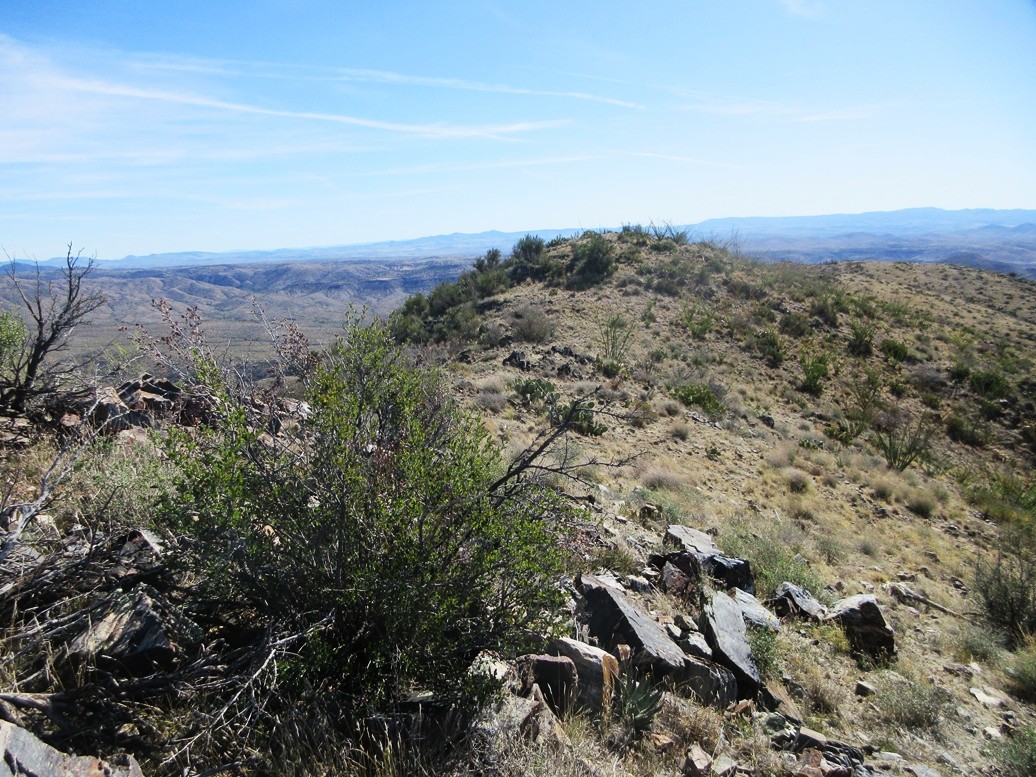
The hike up this peak was very fast and easy. The slopes were open with light brush and not steep at all. I had about a half-mile to the peak with about 370 feet of elevation gain. I moved fast and was on top in about fifteen minutes.
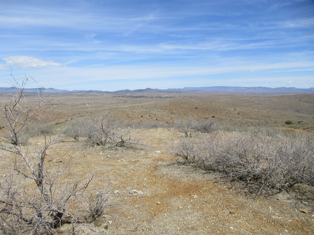
Views were good up here, too. I could see all of the village of Cordes down below. To the north was the community of Mayer. One or two vehicles passed below me on the road, but not flying down the road. I returned the same way, the round trip taking a little less than a half hour.
I was happy to tag this humble summit. It's not a ranked peak but it is a named peak, and it was easy and had nice lines. I enjoyed it.
Back on the road, I drove a couple more miles to where it met up with Interstate-17 at the Bloody Basin Road exit (Bloody Basin Road goes east. Whatever road I was on had no name I was aware of. Probably Cordes Road). I then got on the highway and followed it south into Phoenix.
It was still just the late morning and I had time on my hands. With the weather behaving, I decided to take a look at Deem Hill North, the last remaiing ranked summit in the Deem Hills I had yet to hike.
In summary, I enjoyed the three peaks up this way, and a chance to revisit the peculiar relic villages of Cleator and Cordes. It may be many more years when I'm here next.
|


|