The Mountains of Arizona
• www.surgent.net
|
| Blue Peak |
• Highpoint: Blue Range Primitive Area, Apache National Forest • Mogollon Rim, White Mountains • Greenlee County |
|
Date: May 26, 2007
• Elevation: 9,355 feet
• Prominence: 515 feet
• Distance: 2.5 miles
• Time: 2 hours
• Gain: 500 feet
• Conditions: Some light sprinkles, but mostly clear
Arizona
•
Main
•
PB
•
LoJ
•
Interactive map
We were on a four-day swing through eastern Arizona and western New Mexico for the Memorial Day weekend. After one night in Reserve, New Mexico, and a day trip to Eagle Peak in the Tularosa Range, we returned into Arizona through Alpine, planning to camp near Hannagan Meadow. From Alpine, we followed highway US-191 (the Coronado Trail) south about 30 miles toward Hannagan Lodge & Meadow. Along the way, we saw small plumes of smoke, but no roads were shut. It may have been a prescribed burn.
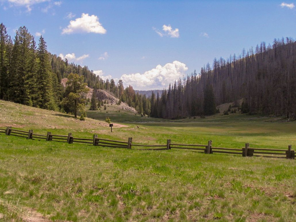
We drove south of the Lodge a few miles to the signed turn off to the KP Cienega campground, and were fortunate to get the last available spot. The campground has just a handful of spaces and is situated in a small hanging valley, with the KP Creek leading away to the north. The views north toward the canyon were stunning, an absolutely beautiful setting.
The following day (May 25) was a rest day. We awoke to cold frosty conditions that quickly warmed as the sun rose over the mountains. We had no plans other than a short driving trip to nearby lookouts and viewpoints. I took a short walk to the KP Creek trailhead out of curiosity, then "climbed" a "mountain", a small hill near camp with a spot elevation of 9,002 feet. The whole journey lasted about 30 minutes and required about 50 feet of gain. Later in the day we drove to the Lodge for drinks and supplies at the little shop, where we pet Hannah the cat. We also drove a forest road to the Reno Lookout and distant views of Baldy Peaks.
The next morning started the same: ground fog and frost, then quickly warming to comfortable temperatures. Our plan today was to hike Blue Peak, a summit at 9,355 feet about five miles east of camp. Little information was available for this peak, other than a short write-up in Bob Martin's Arizona's Mountains, dating from the early 1990s. We had the maps, and knew that the summit had a lookout and was within the Blue Range Primitive Area. This "Primitive" designation is the only one of its kind remaining in the United States, all other primitive areas being renamed wilderness areas. After breaking camp, we drove back onto US-191 south for about a mile, then onto Forest Road 84, signed for the Blue Peak Lookout.
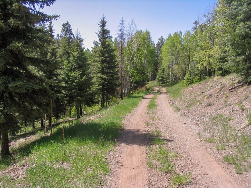
Not knowing what condition the road was in, we were pleasantly surprised to find it was in excellent shape. Mostly a two-track, it's narrow and situated atop a long ridge heading east. The only obstacle was a downed tree leaning across the road that limited vehicle heights to less than 7 feet. I was able to squirm under the tree. We drove in 4.2 miles to a large open area, near a kiosk at the McKittrick trailhead (#71). We were the only ones there, arriving at 10 a.m. I signed into the register and noted we were the first to do so in 16 days, and only the second to sign in for all of 2007. I know not everyone signs in, but even then I was surprised how few people venture this way.
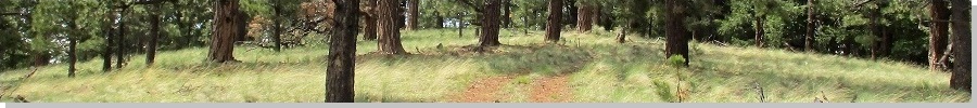
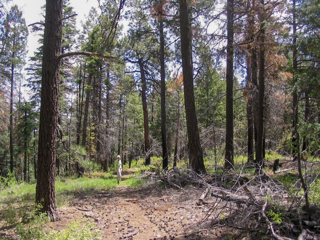
The trail starts level and passes through sparse ponderosa pine and brush, plus burned hulks attesting to a long-ago fire. The trail drops about 50 feet to a saddle, then starts a long gentle uphill grade amid larger, denser ponderosa. After short level traverse across the north slopes of a small knob, the trail comes to a Y-junction, a mile from our truck. We took a rest here. The weather was spectacular, with spotty clouds and a steady breeze, temperatures in the 60s.
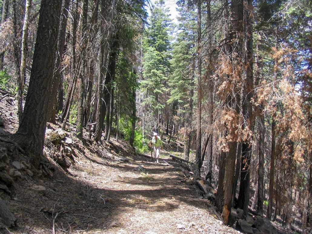
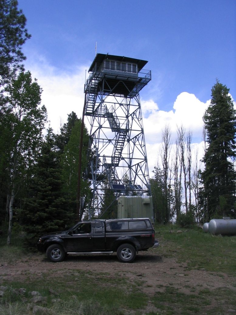
From here, the trail turns north and starts uphill through sparser vegetation including patches of young aspen and more dead, standing trees from the old fire. Soon, the trail switchbacks back south, and gains the top of the summit ridge. We came to a sign mentioning Blue L.O., and could spot the lookout through the trees. An old trail continued south but was covered in deadfall. The main trail bent left here, so we entered into the underbrush, following a path of least resistance. We had to wade through a small section of dense brush including sticker vines, then quickly came out into the clearing at the base of the tower. We had walked about 1.25 miles and gained 500 feet in an hour of hiking.
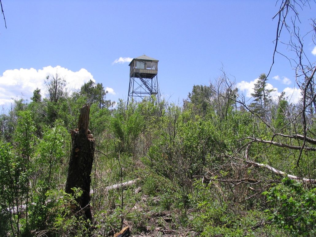
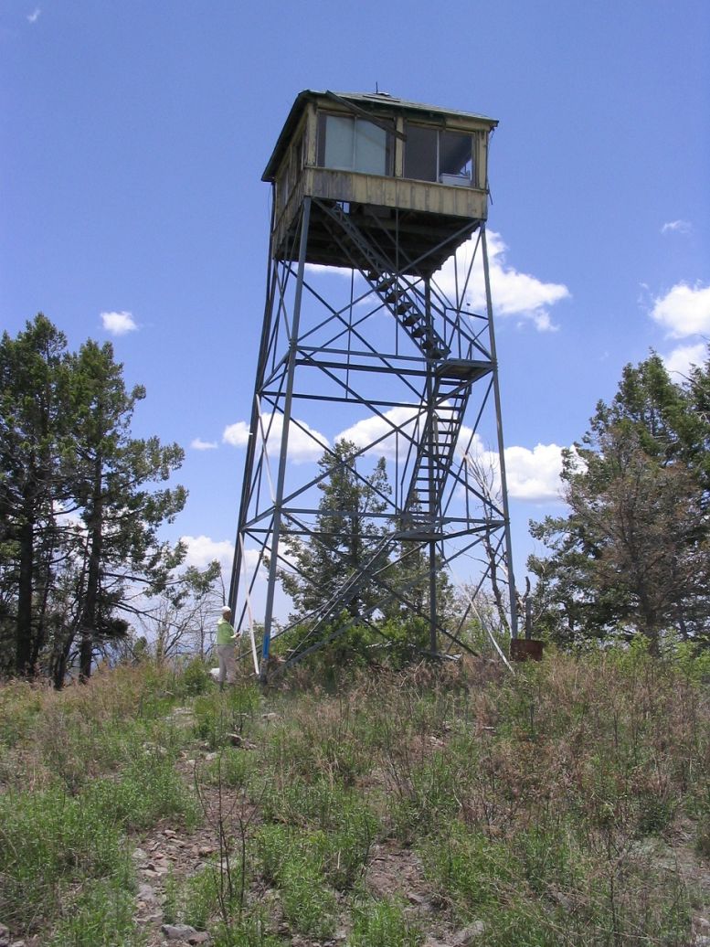
The tower was long ago abandoned by the Forest Service, and any intentions we had of climbing it were set aside when we noticed that all the wooden steps were not attached to the metal stair skeleton, except by gravity, and that some were missing. We spotted the USGS witness marker in rocks near the base, but we had no luck finding the benchmark. We found the sign-in register amid a pile of rocks at the tower's northeast leg. We were the first to sign in since Andy Martin from last October.
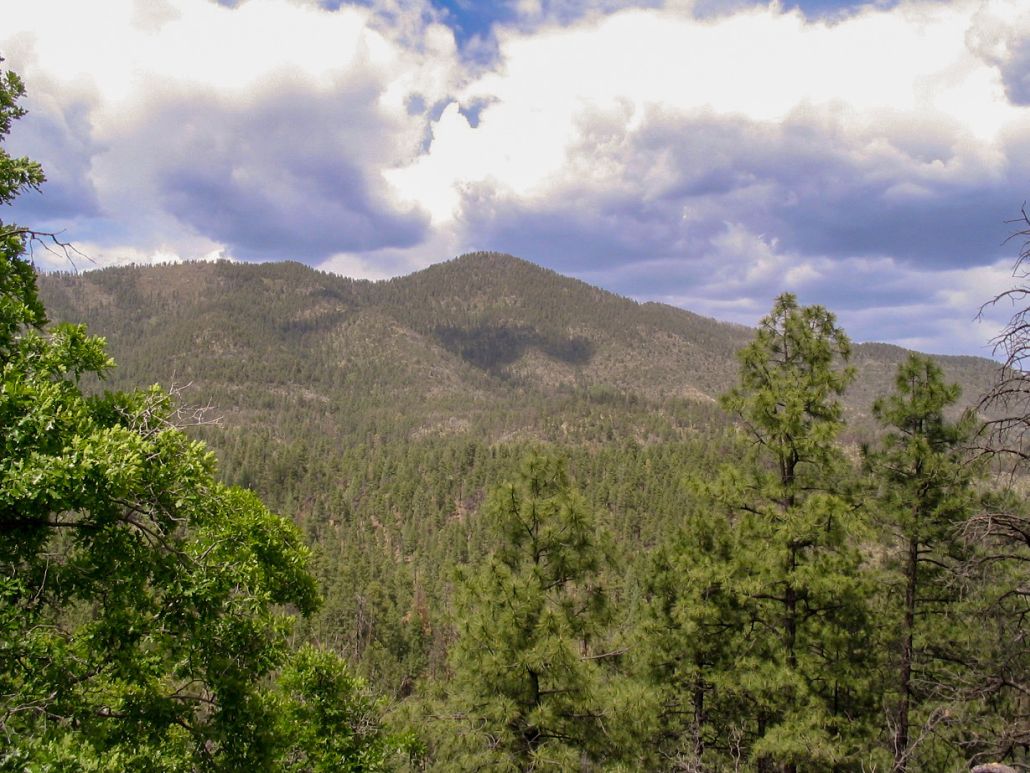
The best views were to the south, where the land drops about 2,500 feet all at once. Views in other directions were of the trees, although looking east we could see distant peaks in New Mexico. Unfortunately, the immediate area around the tower was trashy. There was an actual trash can here, tipped on its side with old trash spilling out. A future visitor might want to bring in a trash bag and carry it out.
After 15 minutes, we backtracked to the trail then hiked out, taking less than an hour, a two-hour round trip. We drove out, enjoying the road almost as much as we did the hike, back onto southbound US-191. The highway drops immediately, losing about a thousand feet as it descends the Mogollon Rim. A great viewpoint is a few hundred feet south, called Blue Vista. The peak is best viewed from here.
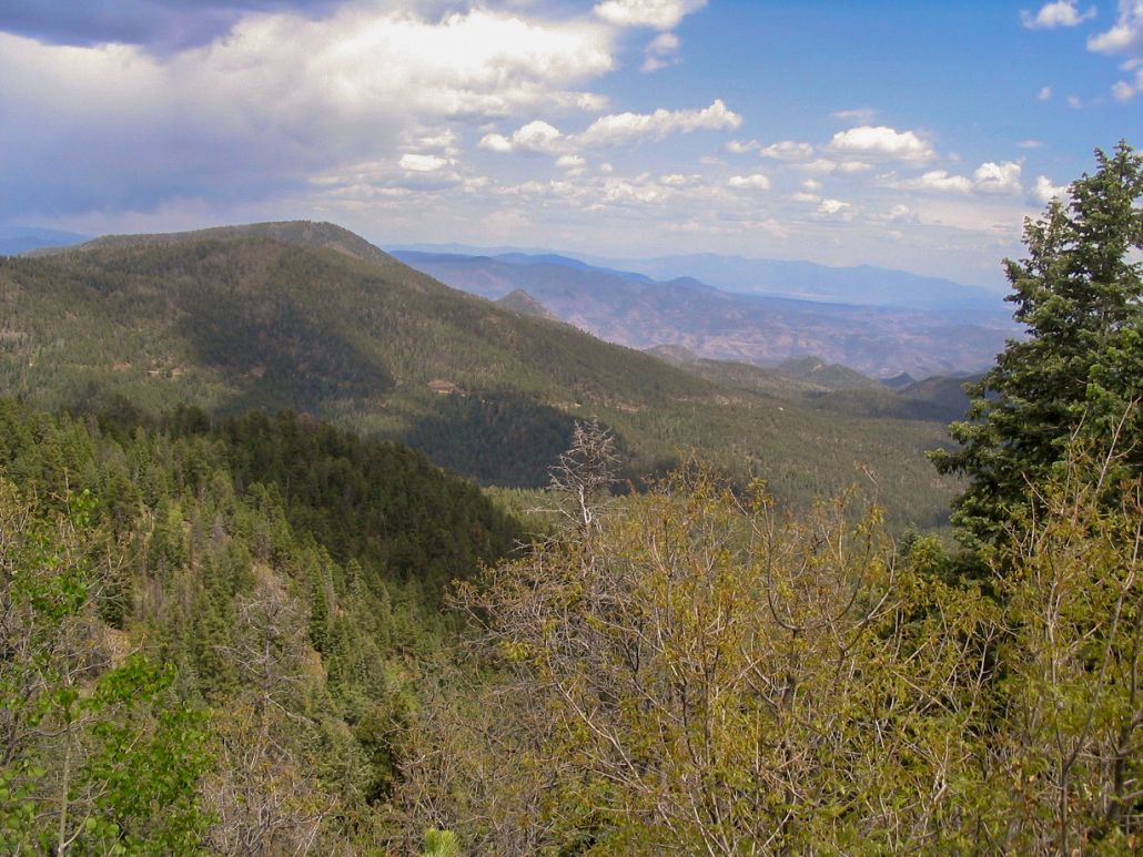
The plan from here was to drive the length of US-191 south into Clifton, still 60 miles away. US-191 is a wonderfully scenic drive, working its way up, down and around the mountains, often with tight curves, steep grades and no guardrails. We stopped at pullouts for views. After awhile, the highway drops dramatically down from the mountains into the Morenci Copper Mine area, one of the largest open pit mines in the world. Trucks the size of buildings dump the rocks onto piles. It is quite amazing, a whole mountain essentially ground into ore and copper.
The city of Clifton is about five miles farther south. We had a hotel reserved here. Clifton is an interesting place, built into the San Francisco Canyon, barely wide enough for the buildings, many of which abut the canyon walls. Clifton is an authentic mining town. On this Memorial Day weekend, everyone had left town. Even the restaurants were closed. No one goes to Clifton, they all leave it whenever possible. We got the impression that Clifton absolutely could not give a darn about the tourist dollar, not that they'll mind if you want to visit and spend some money at their local Circle-K.
The hotel was nasty. The room had an overpowering chemical stench to it. We showered and rested, but in less than an hour, we had to leave the room. I also found some old food still in the microwave. I went to the front office and got us a new room, which was much better. The people at the front office didn't seem too fazed, though. Strong chemical scents, no big deal to them. As long as your money is green, they evidently don't care what you do in the room.
The amusing thing is that we did not learn our lesson. We rolled through Clifton again in 2013, and reserved a room at the same hotel, the only one in town. And they put is back in that same exact room. Again, I complained, got us a new room, and could not seem to impress upon them that the stench is really bad. They just kind of shrugged, saying they'd have janitorial look at it. I don't yelp, so I have no clue what people have said about the place. Hopefully some new owners will take over and actually do something with the place.
|

|