The Mountains of Nevada
• www.surgent.net
|
| Lone Mountain |
• Spring Mountains • City of Las Vegas • Clark County |
|
Date: December 12, 2021
• Elevation: 3,342 feet
• Prominence: 542 feet
• Distance: 1.4 miles
• Time: 45 minutes
• Gain: 553 feet
• Conditions: Cool and sunny
I was in Nevada to visit my father for a week for the Holidays. I had arrived yesterday, after a long hike up Nutt Benchmark near Oatman, Arizona, then the drive to Henderson. I arrived in the late afternoon.
Today, Sunday, I had no plans other than to relax and visit with my father, who has been dealing with some medical issues recently. We visited my mother at the memory care facility where she now lives. I just wanted to see her, her cognitive state notwithstanding. The visit was short and bittersweet.
We didn't do much for the next few hours. About 2 p.m., I told my dad I was going to for for a quick hike. I looked at both Cheyenne Mountain and Lone Mountain, located in the Spring Mountain foothills west of Las Vegas. Both are popular hikes for locals in the area. I wanted to hike both, but knew I had time for just one.
I drove to the general area, which was farther than I first thought (I assumed about 20 miles, it was closer to 40). I took a look at Cheyenne and figured I may be cutting it close with sunset, so I drove over to Lone Mountain, parking at the ad-hoc parking lot at the north end of Wagon Vista Road. There were about 40 cars here, just a big dirt wide area.
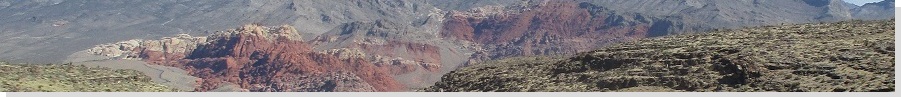
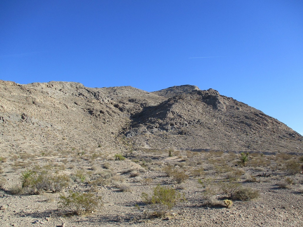
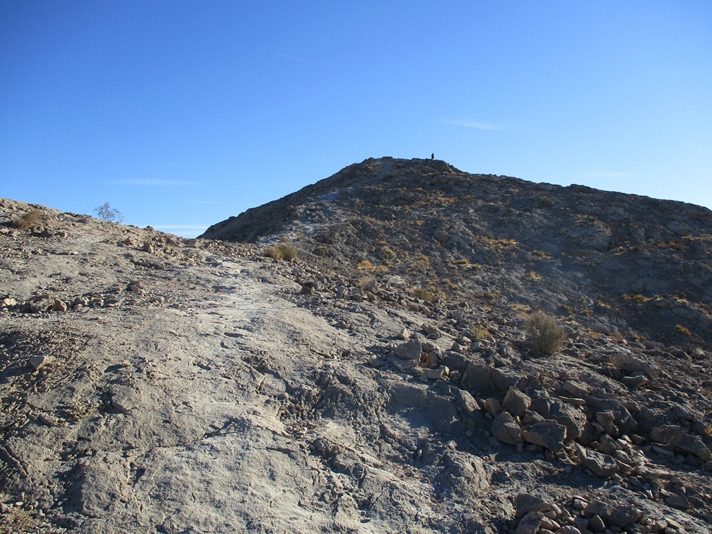
Lone Mountain has the classic Nevada look, with bare slopes, an uplifted profile with cliffs to the east and south, and steep slopes to the north and west, and nary a tree. This was not some wilderness epic. I went light, figuring this would not take long. It was close to 3 p.m. when I started.
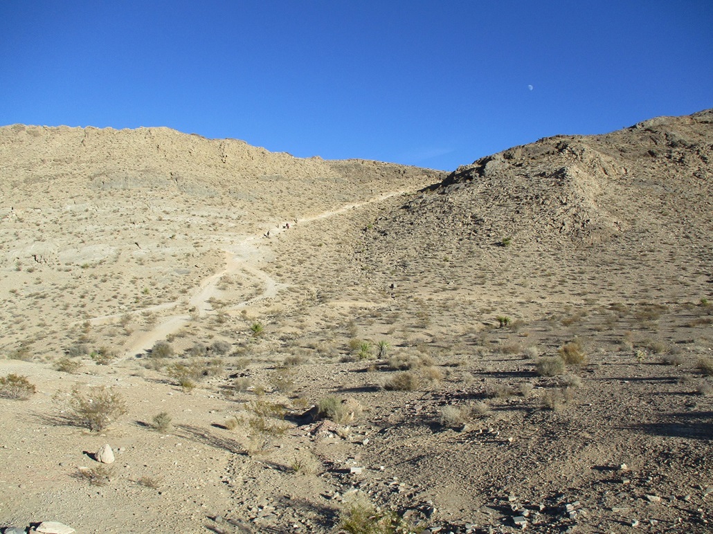
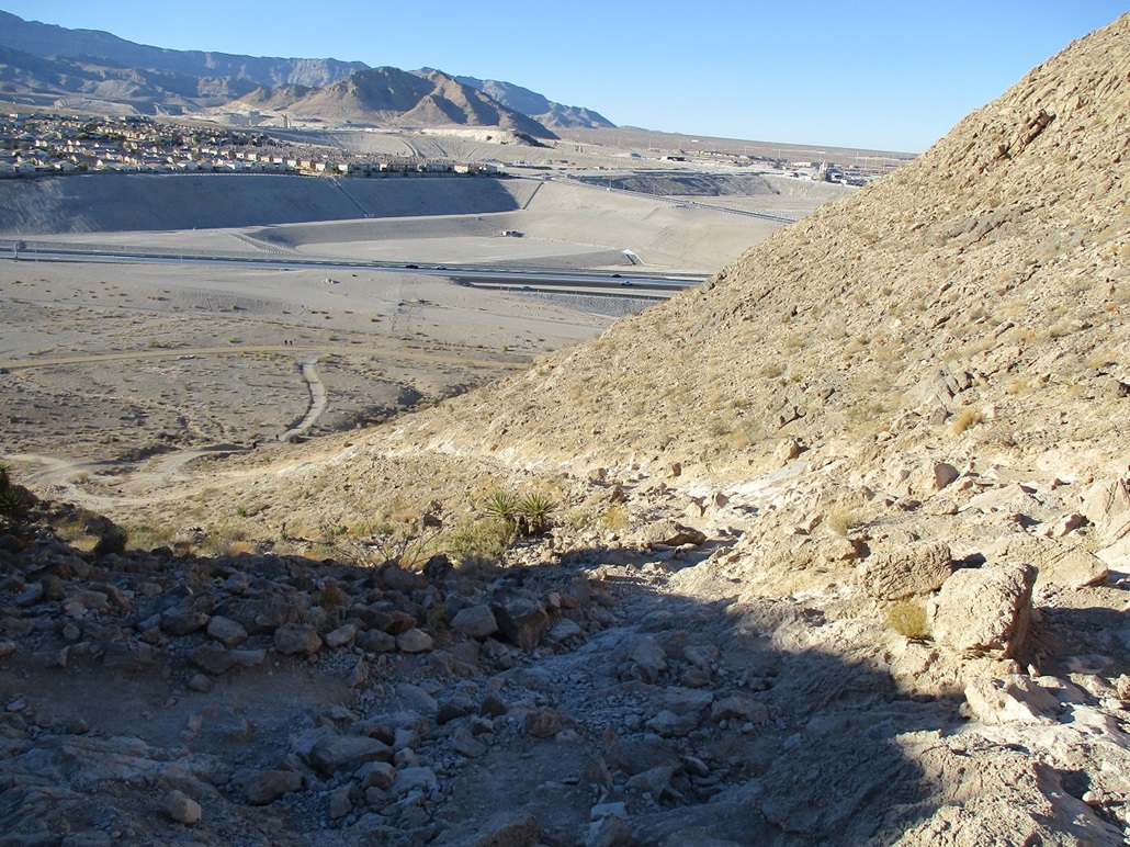
I walked north on a wide path, then cut across on another trail, aiming for a steep trail (an old road?) that gains up the northwest slope. This is the most common way up the hill, and there were a number of people on it now, some going up, others down.
The tread was good, but in places, there were loose rocks and gravel. I kept a consistent pace. In less than ten minutes, I was about a third of the way up, on a short flat segment where a park bench is nearby.
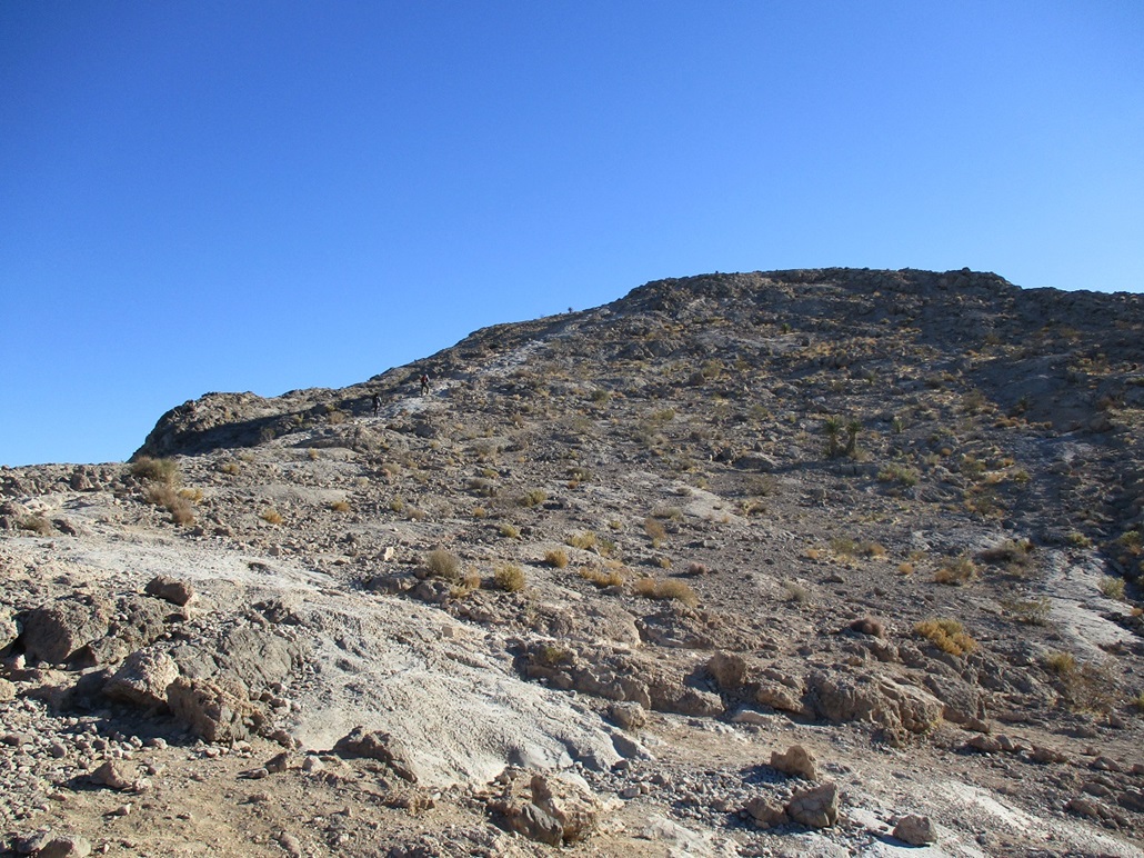
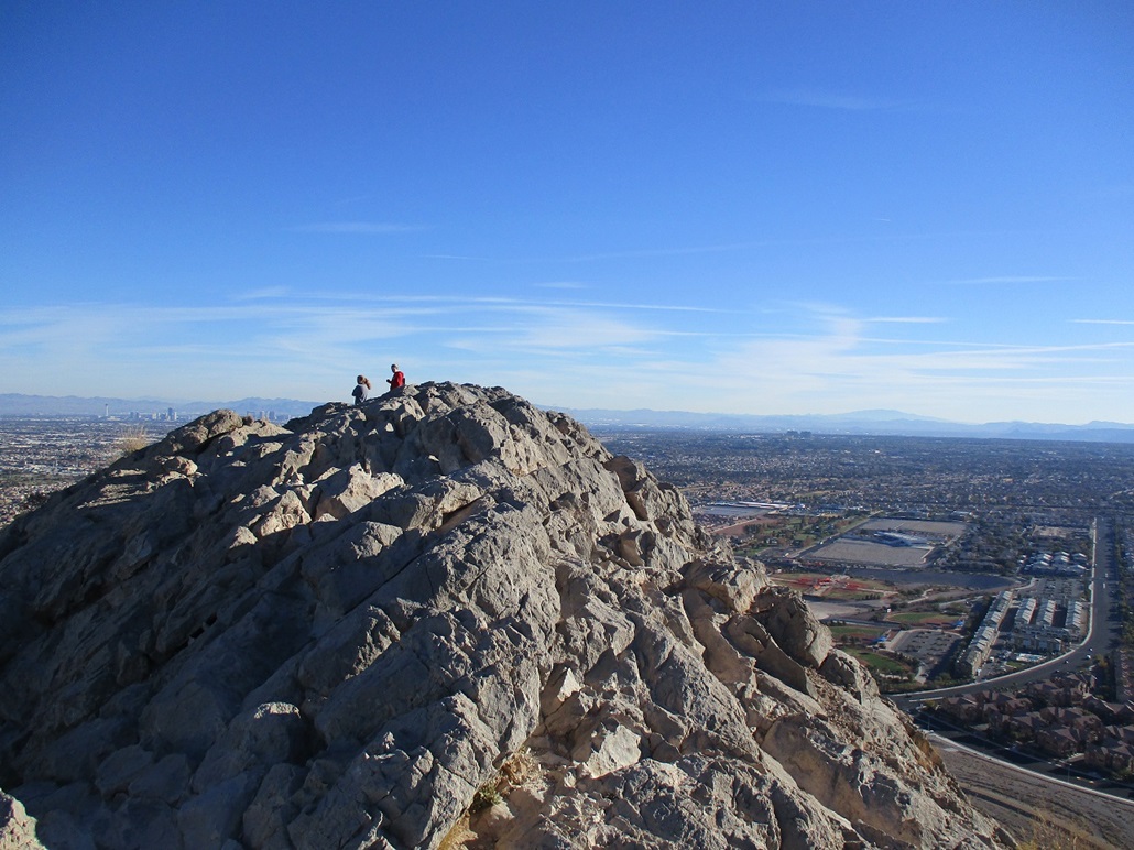
I continued uphill, the trail being a wide swath of exposed rock by now. It mainly keeps to the spine of the ridge. It stays steep, and in another 10 minues, I was at the top. Three women were nearby, a couple more people had just started down, and behind me, a guy with his two dogs and his mountain bike were not far behind.
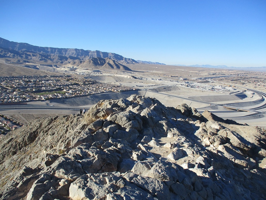
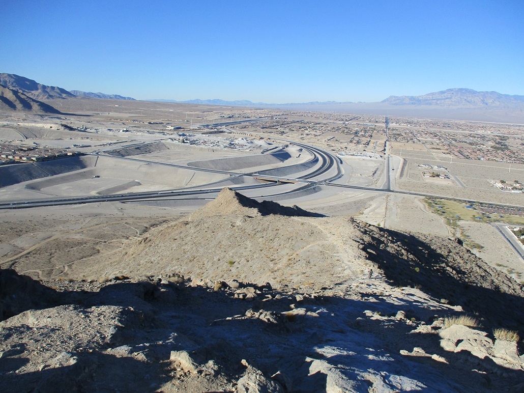
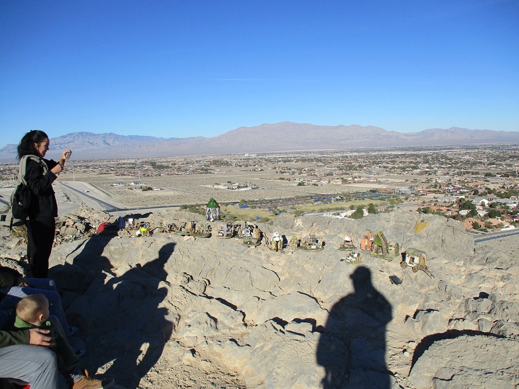
I took a couple images from the summit, but did not stay long, maybe two minutes. The views were good. I was particularly amused by the sloping effect of the buildings and houses to the north. See my image. The far horizon is level, so the sloping effect is real, not a trick of the eye.
I started down, going slow, but still at a good pace. The guy hauling his mountain bike passed me going down, biking the trail. His dogs were close behind. At the park bench spot, there is a collection of small diorama pieces people have set up. I thought it was something about Christmas, but apparently not. Just random dioramas.
I was back to my car at 3:45 p.m., a 45-minute hike covering 1.4 miles round trip and about 550 feet of gain. The hike had gone well, and was just what I needed. This time of year, close to the Winter solstice, the sun sets fast, and it was behind the main body of the Spring Mountains by now. We were in shadow and the temperature seemed to drop ten degrees.
I drove back to my dad's place and vegged with him, doing exciting things like reading the paper and watching the tube. But that is exactly what I came for, just happy to be with my pop.
The next day, I went for a longer hike up Crescent Peak, down south near the California state line, a few miles from Nipton.
|
|