The Mountains of Nevada
• www.surgent.net
|
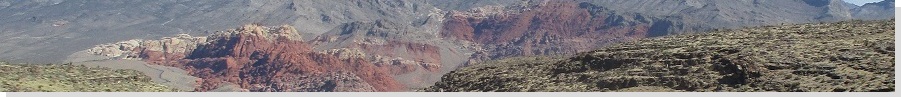
| Crescent Peak |
• New York Mountains • Avi Kwa Ame National Monument • Clark County |
|
Date: December 13, 2021
• Elevation: 5,994 feet
• Prominence: 1,154 feet
• Distance: 3.8 miles
• Time: 2 hours
• Gain: 1,434 feet
• Conditions: Cold and windy, sun with high clouds
Crescent Peak lies near the California state line, about four miles inside Nevada, twelve miles west of Searchlight. I found out about this peak while perusing map sites before I left for Nevada. I liked its size and prominence, and the logistics looked friendly. It would be my "big peak" for this short Nevada sojourn.
I arrived in Nevada two days ago, and yesterday, hiked Lone Mountain, a workout hike in northwest Las Vegas. A storm was going to move through starting later today, but the mornings would still be clear and calm. So I got an early start from Henderson, following the highways through Boulder City to Searchlight, then west toward the state line. The drive covered about 60 miles, and I was in the general area around 8 a.m..
From the highway (NV-164), I eased onto Crescent Mine Road, past a couple homes, then on good dirt road south and east past an active mine operation, until I was closing in on Crescent Peak. I knew to look for a road branching to the east (my left), and I found it. It is bermed closed, so I parked off the main road. This did not look like a bad place to stash a vehicle in the open.
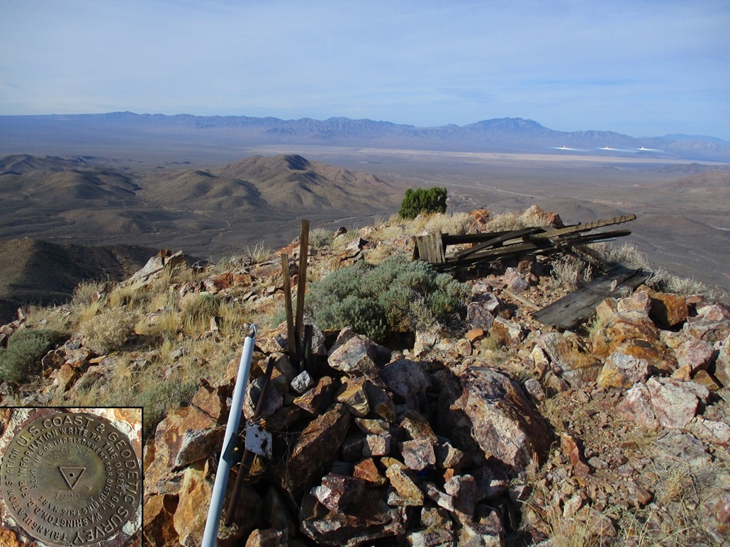
Crescent Peak itself does not look like a crescent. It has a nice long sloping ridge trending west that looked like a natural route to the top. The area has been mined (and still is) for over a century, and archaeological analysis shows that it may have been mined in centuries past before the United States was ever a thing. I suspect the peak got its name from a mine, but I have no way to prove that.
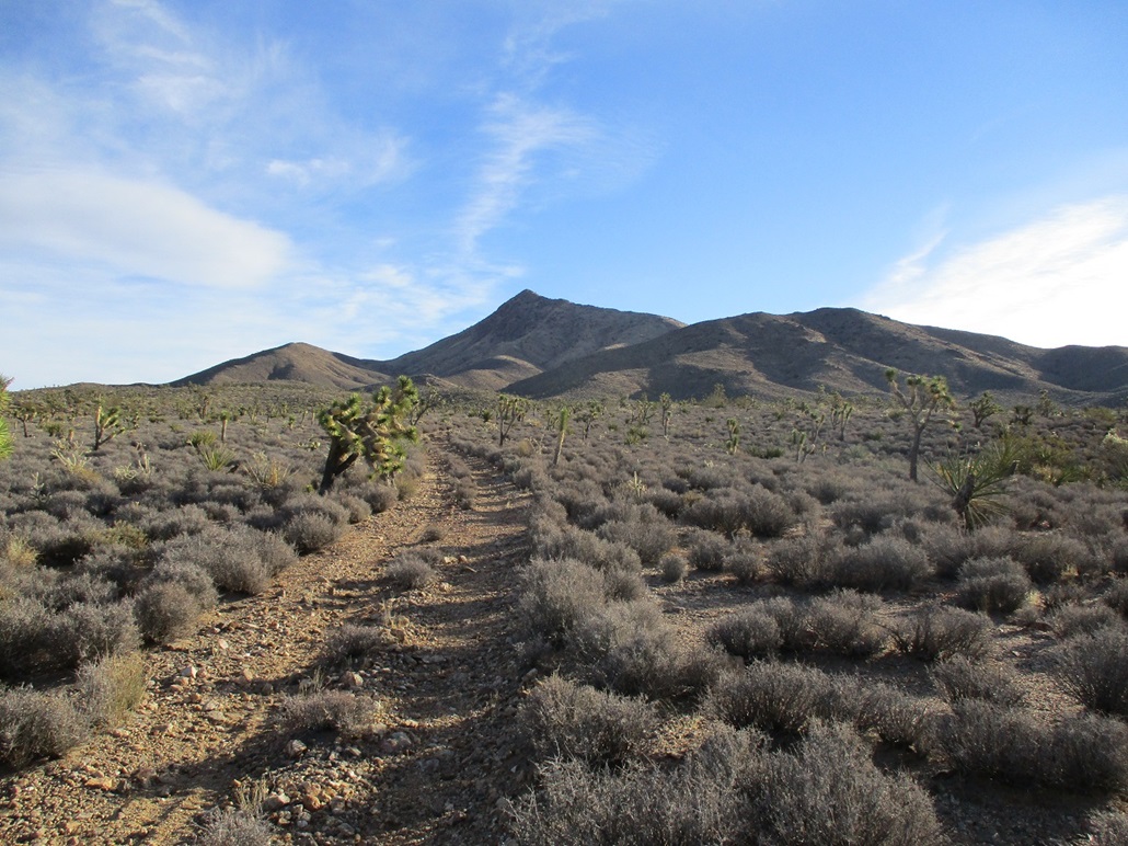
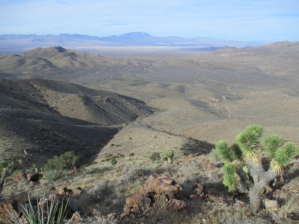
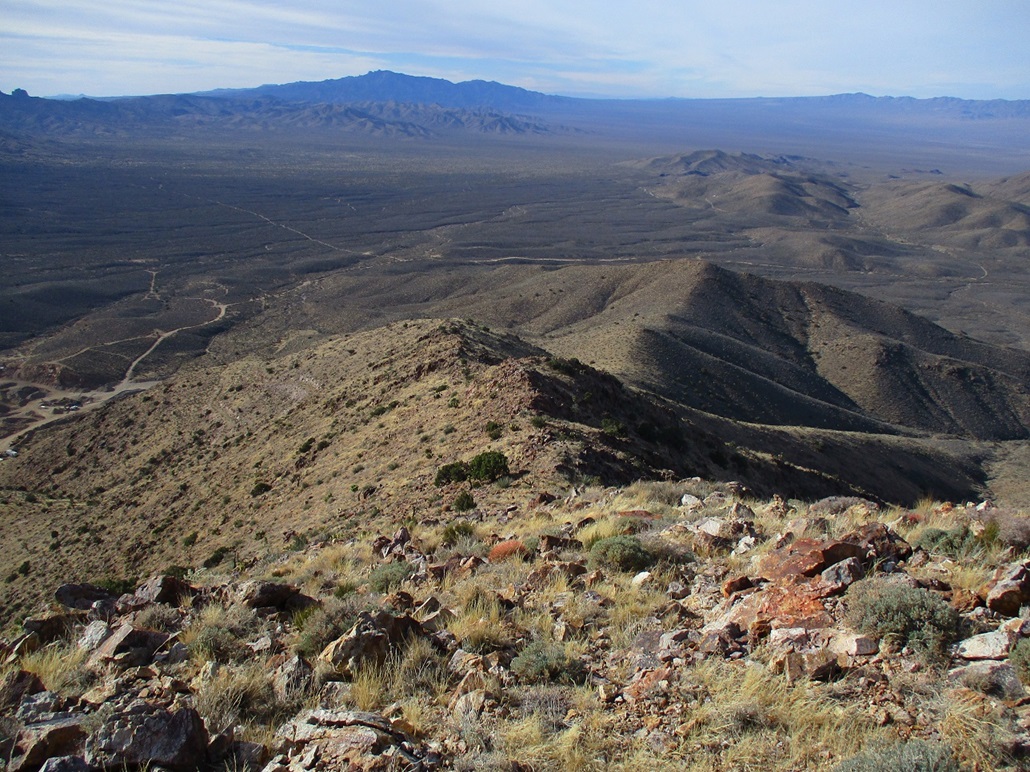
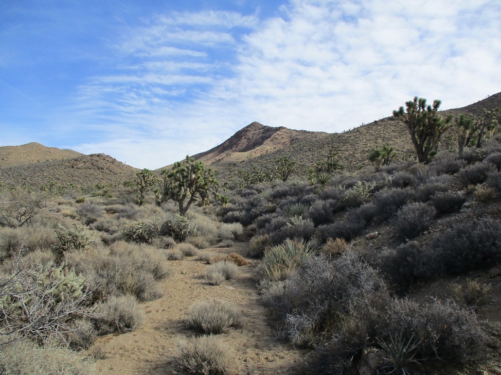
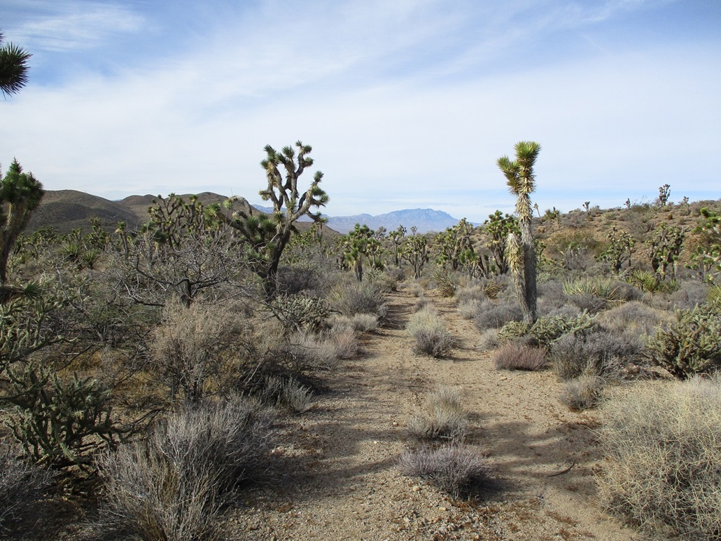
The day was sunny and cool, but breezy, sometimes a little too breezy. I walked the closed road, which was rocky and narrow, lined on both sides by joshua trees. The road aims eastward toward the foothills, and slowly loses distinction as it braids with the drainage coming out of the canyon up ahead. I stayed on the road/drainage as long as humanly possible, until I was well within the canyon, so that I could get a good view of what to do next.
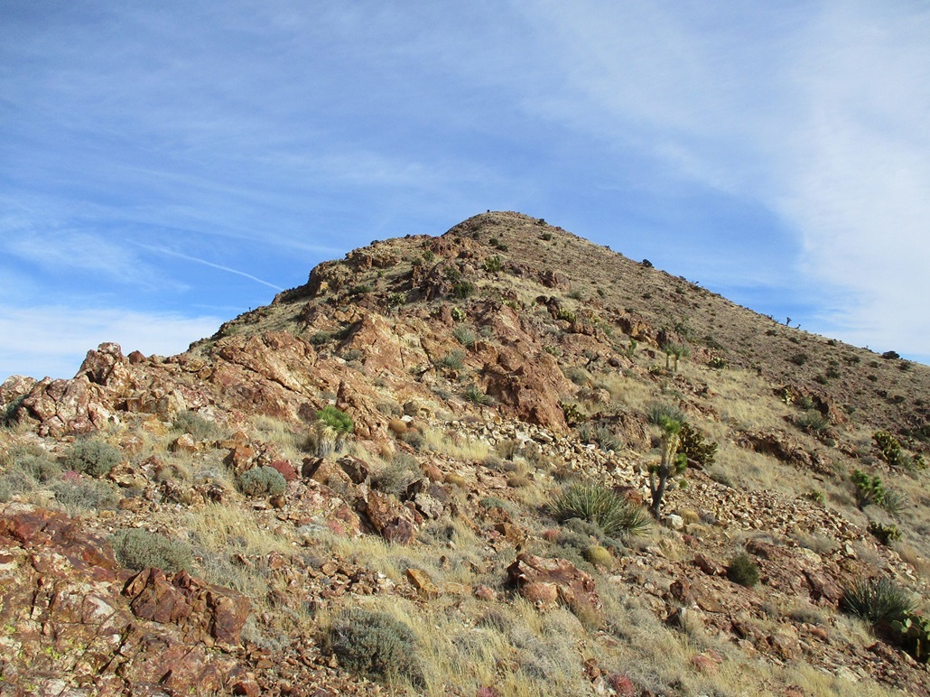
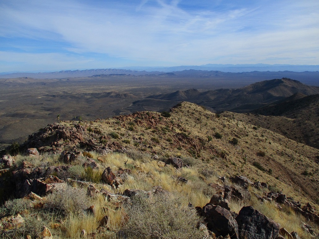
From the summit, the west ridge dropped neatly to a low saddle, and ahead of me was a subridge, an open slope that appeared to meet the main ridge a little above the saddle. Hiking to the saddle did not look promising. I would have to drop into and out of another drainage to get onto its approach slope. So I cast my fate with the lovely slope in front of me.
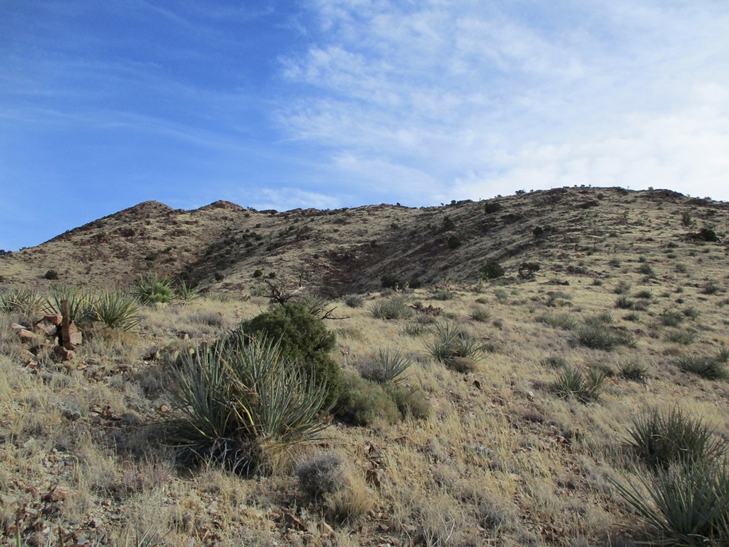
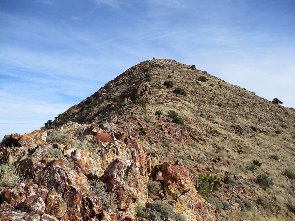
Lower down, it angled nicely, with low grass and scattered plants, and the usual assortment of rocks. It was steep but not troublesome. I put my head down and marched uphill. The slope leveled slightly, then steepened once again, the final push to the high ridge. Here, for about fifty vertical feet, the slope was a little loose and messy. I moved slowly and soon, was on the main ridge. Up here, the breeze was strong. With nothing to block it, and considering the venturi effect, it would gust into the 40 miles-per-hour range at times.
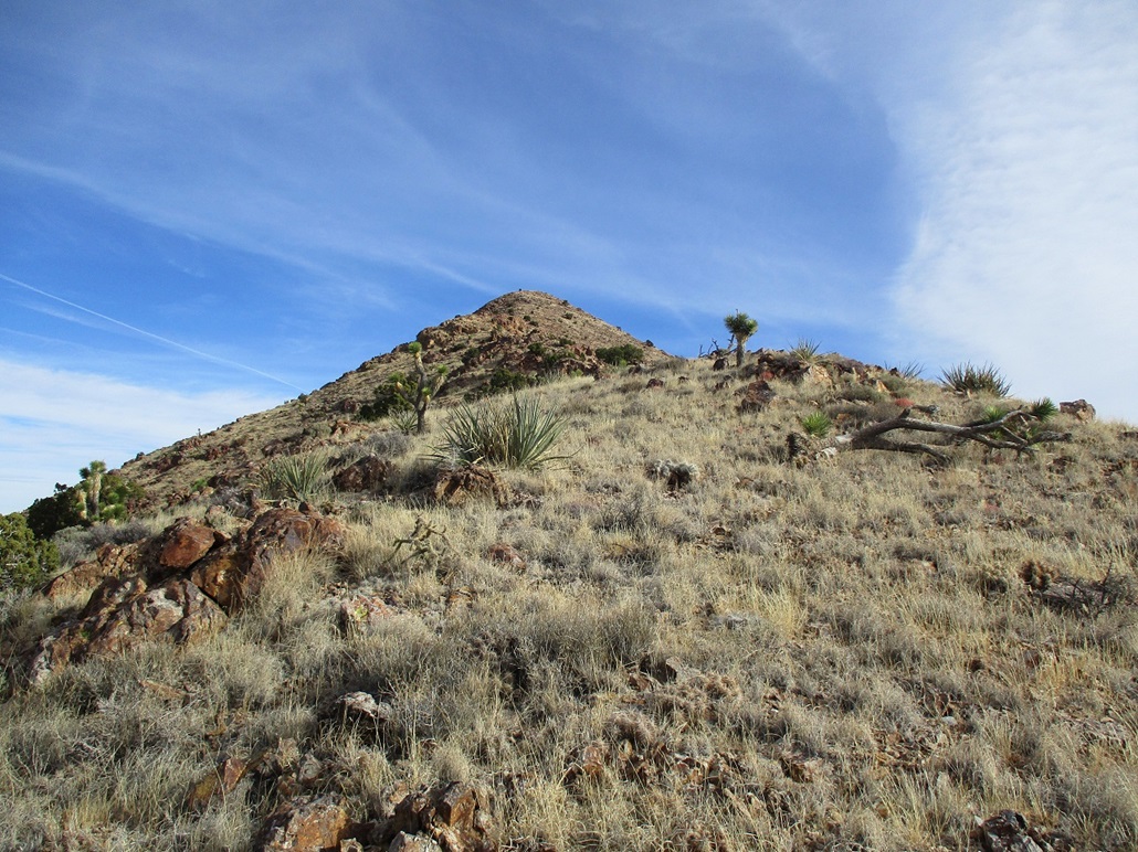
I turned left and started up the main ridge, the summit up above and a bunch of rock outcrops along the way. These were not difficult to bypass. I generally stayed right, and at times, scampered up them directly. I kept at this for about twenty minutes and then was on top the mountain. The one-way hike had taken a shade over an hour. I was moving efficiently, nothing to slow me down.
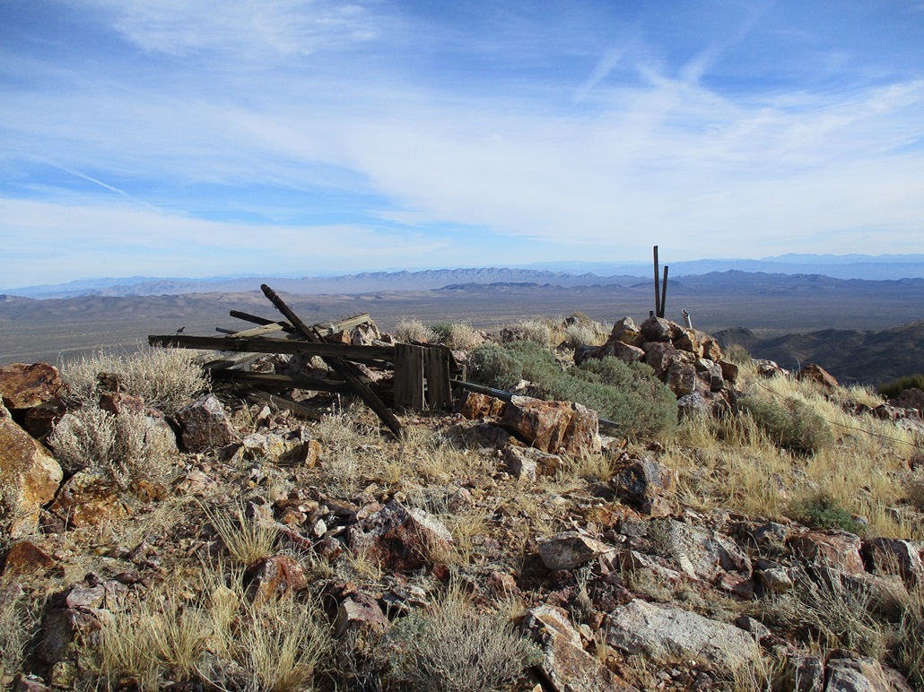
I snapped a few images from the top. The sky was still mostly blue and sunny, but there was a light milky haze now, the leading edge of the leading edge of the storm. I could see the little town of Nipton, just over the California line. In the distance to the northwest was the solar energy farm by Ivanpah. A field of mirrors focus the sun's rays to a common focal point about a hundred feet* off the ground. From here, the light was brighter than the sun, and the surrounding area was doubly-lit not only by the real sun, but by the reflection of the focused light. It was cold up here, in the 40 degree range, and the strong breeze chilled me fast. I didn't stay long on top. I kept moving to stay warm.
I started down quickly and retraced my steps, moving quicker now with gravity assisting me. The hike out took about 45 minutes. Back at the car, I changed into my driving clothes and started out back to the highway. I was in Henderson about an hour later, nothing exciting to report about the drive.
For a peak that I first discovered a week ago, I enjoyed it a lot. It is remote enough to be off most people's radar, it was easy to get to and the climb was straight-forward. I wasn't looking for some all-day epic. I also beat the weather, as by noon things were slowly clouding up, although the actual rain wouldn't happen until tomorrow.
Two days later, I would hike another hill closer in to Las Vegas, Red Benchmark, then head home the day after.
____________________________________________________________ |
|