The Mountains of California
www.surgent.net |
| Mine Benchmark |
• Anza-Borrego Desert State Park • Coyote Mountains • San Diego County |
|
Date: December 28, 2013
• Elevation: 1,850 feet
• Prominence: 670 feet
• Distance: 2 miles
• Time: 90 minutes
• Gain: 700 feet
• Conditions: Overcast
California
•
Main
•
PB
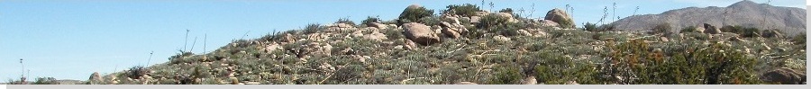
Mine Peak (or Mine Benchmark) is the unofficial name given to this small mountaintop, which is the western extension of the Coyote Mountains, of which Carrizo Peak is the range highpoint. The summit overlooks an old marble mine called the Dolomite Mine, and appeared to be an easy hike. It was close to our base of operations, Bow Willow Campground. The mine functioned in the 1950s, producing bright white-colored marble rocks for general landscaping and other uses. There are still piles of white sand around the old mine buildings.
From Bow Willow, it's just five miles east along the Imperial Highway to the West Dolomite Mine Road turnoff. I followed the good sandy road northeast, then northwest, for about a mile, using 4-wheel drive for the last little segment as the road became heavily eroded. I arrived onto a small mesa-top around 9:30 a.m., the sky overcast. A group of campers were nearby, so I waved hi to them.
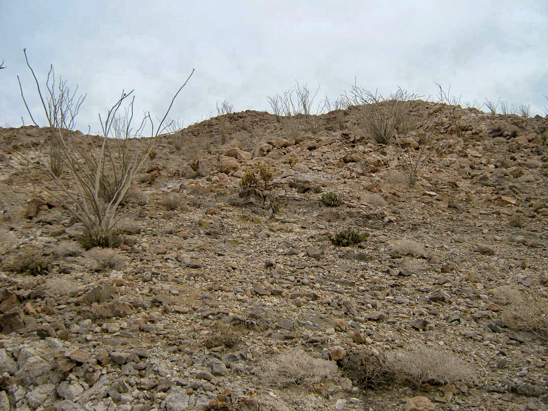
I chose to park short of the road's end as I had a good pullout, and it only added just a couple hundred feet to the hike anyway. I got my pack and locked up the truck, and within minutes had covered the last segment of road to the old Dolomite Mine building, now just a concrete hull and foundations. I scooted up the hillside to the right and was now atop this building, finding another rough trail up the stony slope. I followed that and again in moments, had come upon a higher road. I was about a half-mile from my truck, maybe 400 feet higher.
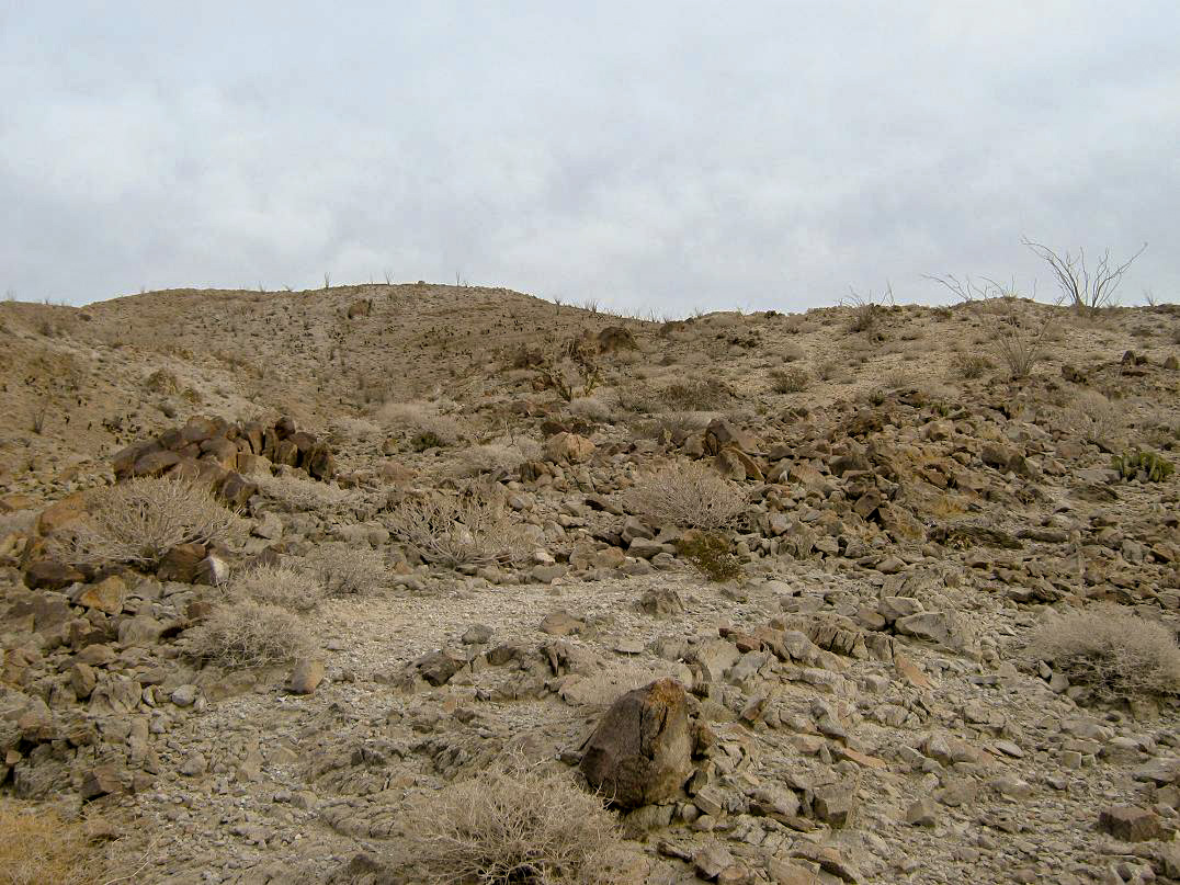
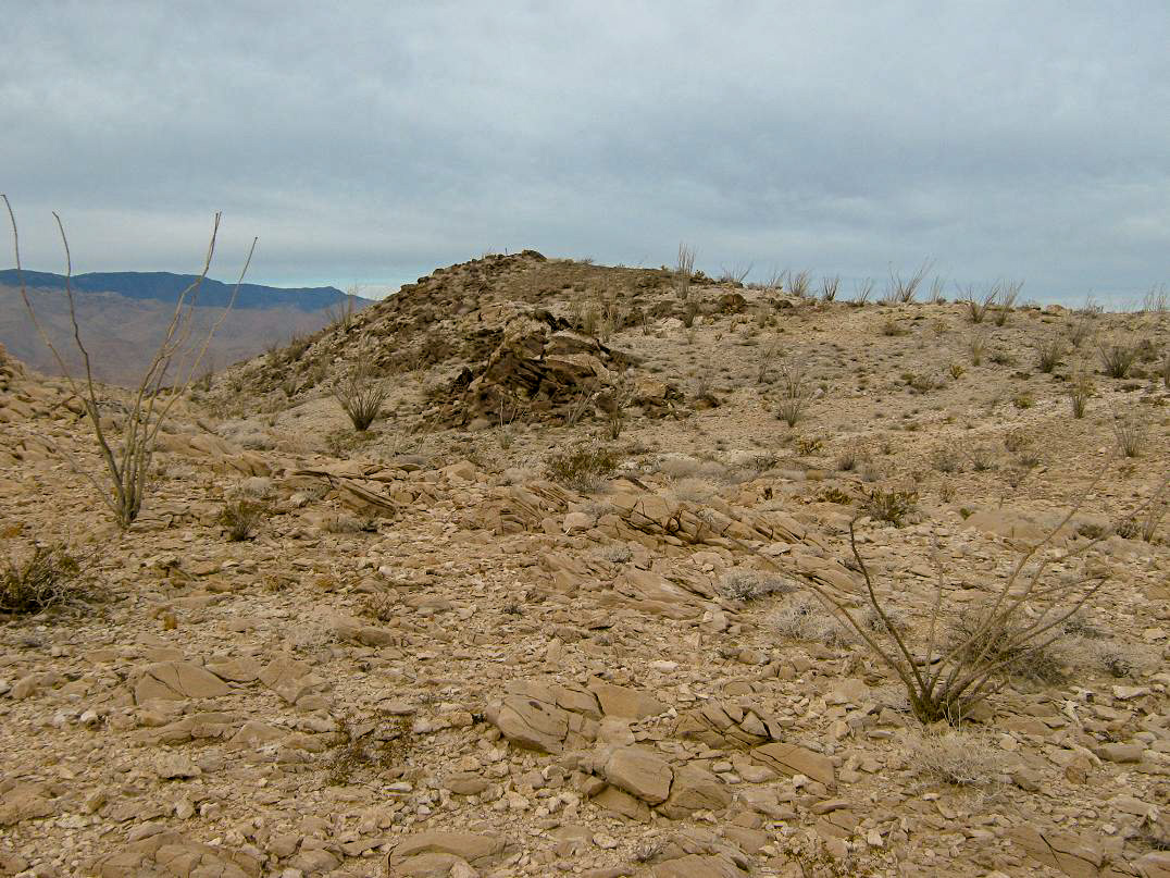
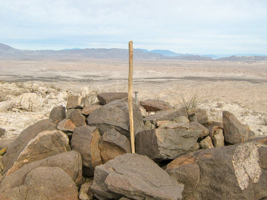
Not seeing any paths on the slope above me, I started up-slope and immediately found a path, which I would follow for short segments until it petered out in the rocks. The gradient was never too steep and I made very good time. I just hiked upward, then angled left toward a broad false summit up ahead. Once surmounting that, the real top was not too much farther away, a metal post propped up by darker-colored rocks.
I arrived to the summit and took a break. Checking the time, it had taken me just 40 minutes to get here, about a mile one way and about 700 feet of gain. I was surprised I had covered it this fast, but the open terrain, easy slopes and segments of faint trail helped a lot.
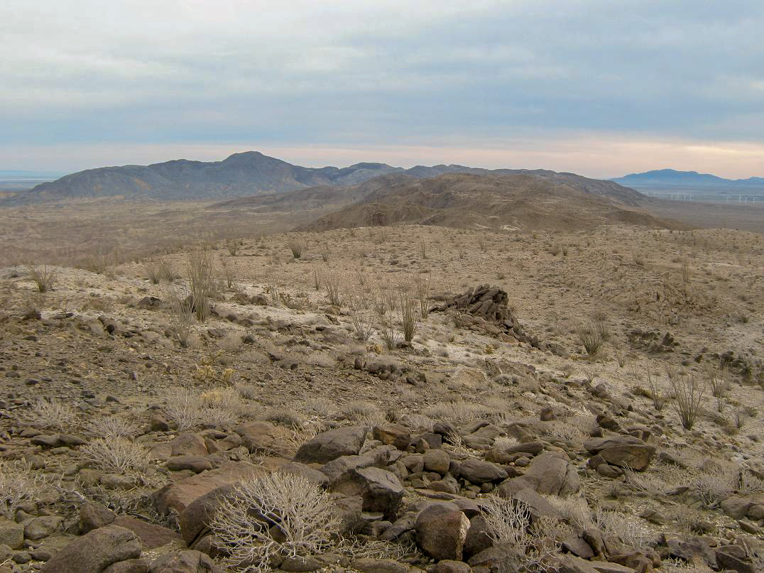
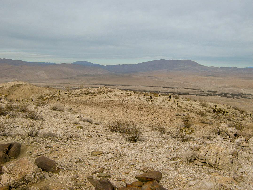
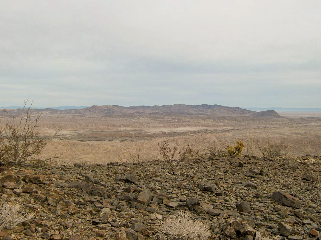
The views up here are excellent, but unfortunately the sky was overcast and everything was muted, which was a shame as the previous two days had been so clear and blue. Still, I took the time to inspect the panorama. I could see the Salton Sea, the Coyote Mountains, the Fish Creek Mountains and the badlands to the north. Centinela was visible to the southeast, and numerous peaks and ridges to the south and west. After about 15 minutes, I srated the trek down.
The downhill hike took about as long as going up. I had to be a little more attentive to the rocks, which tended to slide easily. I moved deliberately and had no issues, arriving back to the old concrete buildings after 30 minutes. A group of young adults had driven up and were inspecting it. We spoke briefly, then I walked back to my truck. The total round trip took no more than 90 minutes.
I was back to camp after two hours of being gone. We relaxed a bit, then I took down camp and packed up the truck. We were on the road by noon or so, heading home to Scottsdale. Other than stops in El Centro (cokes, potty) and Yuma (gas, cokes, potty), we drove straight home, arriving at sunset. Another rejuvenating trip to our favorite park, the Anza-Borrego.
The area below the Dolomite Mine has good potential for open camping. Some day I'd like to re-hike this little peak in better conditions as the views are surely worth it. The mountain and surrounding areas apparently were once underwater and feature old fossils. I did not know that, but it would be interesting to find possible fossils, although collecting them is something we wouldn't do.
|


|