
The Mountains of Arizona
• www.surgent.net
|
| Peak 5580 |
• Winchester Mountains • Arizona State Trust Lands • Cochise County |
|
Date: May 19, 2026
• Elevation: 5,580 feet ✳
• Prominence: 338 feet
• Distance: 6.3 miles
• Time: 2 hours, 40 minutes
• Gain: 1,145 feet
• Conditions: Sunny and clear, pleasantly warm
Arizona
•
Main
•
PB
•
LoJ
This peak rises in the Winchester Mountains, about ten miles northwest of Willcox. It has no name, but nearby Square Benchmark Mountain lies about a mile to the northeast. I was interested in it for one reason: it has a track to its summit. This time of year, a track is very welcome.
The Winchesters are notoriously difficult to access. The bulk of the range, including Reiley Peak, lies within a district of the Coronado National Forest, but private land surrounds this district forming an enclave, and access is throttled either by fences and locked gates, or terrible roads. I've only climbed one peak in this range, Reiley Peak in 2009.
Recently, Amy P. let me know of a good road that comes in from the south that lies almost entirely on State Trust land, has no locked gates nor prohibitive signage, and the road is actually drivable. There are a whole bunch of peaks in this immediate region. A good road makes access much easier. I chose this peak, Peak 5580, as an excuse to explore the roads and the area as a whole.
I left home in Bisbee at 5:15 a.m., the sun already up but still very low in the sky. It was cool for now, in the 40s. The past few days have been extremely windy, but for now, it was calm. I drove through Double Adobe, Elfrida, Kansas Settlement and into Willcox, about a 75-mile drive.
I was able to locate Airport Road without having to get on the Interstate, thus saving mileage. I crossed over the interstate, then followed Airport Road west a few miles. The road then turns south for a mile, then west again. a little over 2 miles from the last turn, I found the gate I wanted on the north side: it is big and red, not signed and unlocked.
I went in about a quarter mile, then went right at a junction, now on a scragglier track that was still drivable. This track wanders to the northeast, then northwest, and gets a little messy in places. Four-wheel drive is not necessary when dry, but high clearance is. I passed a second gate, and drove in a little under a mile, this road being in good shape. I parked in a clearing when the road started to get too rocky. The topo map shows these roads accurately.
The sun was up but it was still cool, in the high 50s. Highs in Willcox were expected to be in the low 80s. I got myself properly dressed and situated, and started walking at 7:06 a.m.. My destination peak was not visible, but the ridge it lied on was, a lighter-colored ridge about three miles distant.
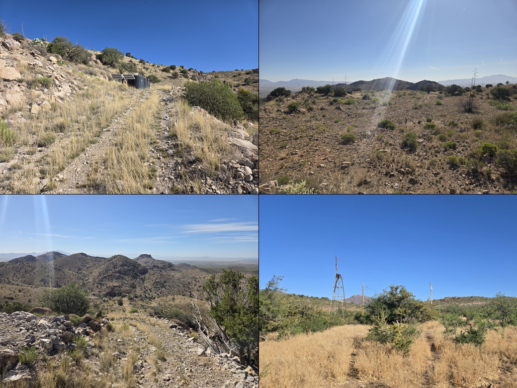
I walked the road up a small rise, then down into a draw. Here, the road became more rutted with small washouts. It dropped into the drainage, then aimed for a derelict windmill. I passed a "private land" sign but it said foot traffic was welcome. However, any vehicles would have to stop here.
The windmill looked ancient and certainly not in working order. A big bird had built a massive nest near its apex. A nearby tank held plenty of water, but in this day and age, pumps are usually driven by solar-powered plants, not windmills. Past the windmill I passed one more gate.
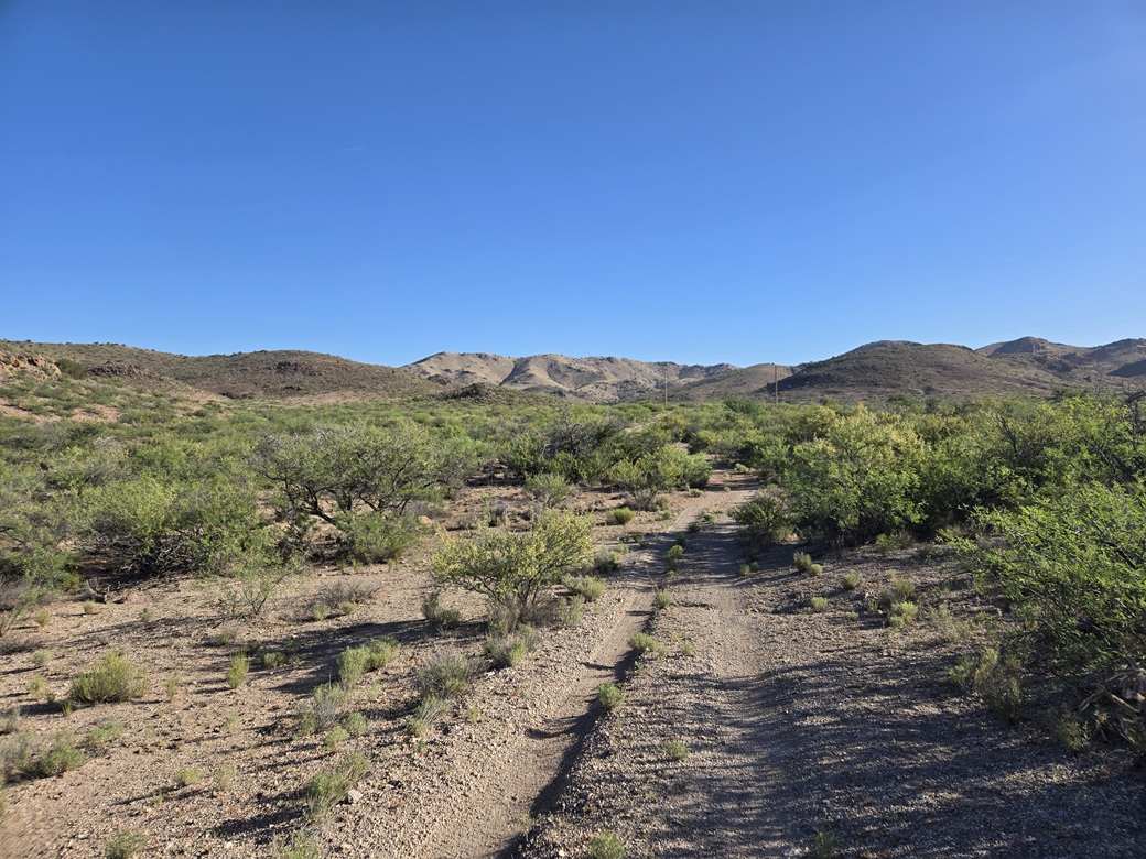
The road makes a straight shot toward the distant ridge, and generally stays level for about a mile and a half, although in reality it gains at a very gentle grade. It was mostly free of grass and allowed me to see my feet and look out for snakes.
There are some small power lines back here and a couple old stone buildings that may have been an old homestead. There were a few water tanks as well. Some cattle had congregated near one, so I left the road and bypassed them. This off-road segment went well, with open terrain.
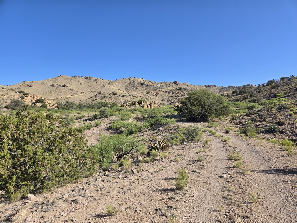
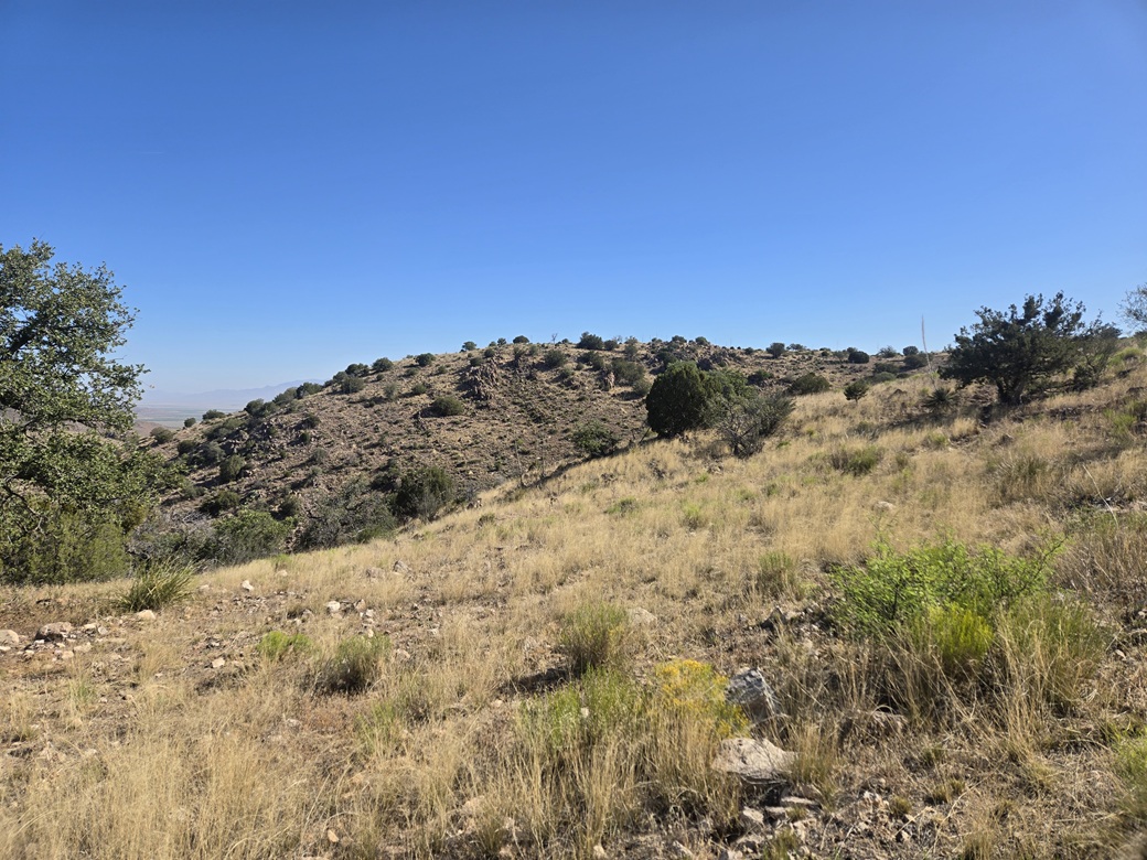
Finally, the road starts to steepen near some interesting rocky formations. It then drops about fifty feet into a draw. Up the other side, it gains in earnest up the slopes to the top. I could see this road from a distance. I was looking at about 850 vertical feet in about a half mile.
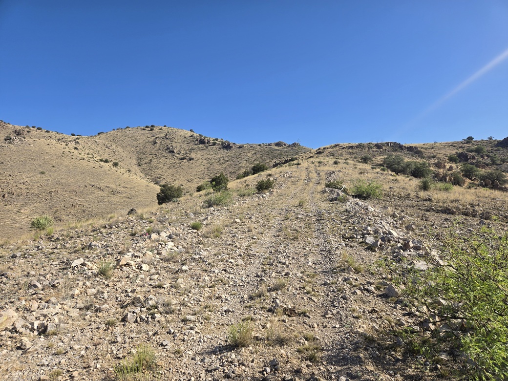
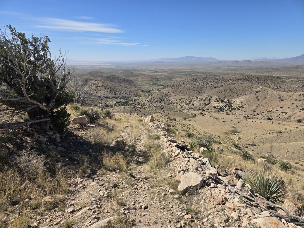
Up the first steep segment, there was a sign saying this is not a road, it is a water line, and vehicle access is prohibited. As far as I was concerned, this thing that was not a road was topologically homeomorphic to a road, so I followed it. A flexible tube paralleled this non-road, this being the water line the sign speaks of.
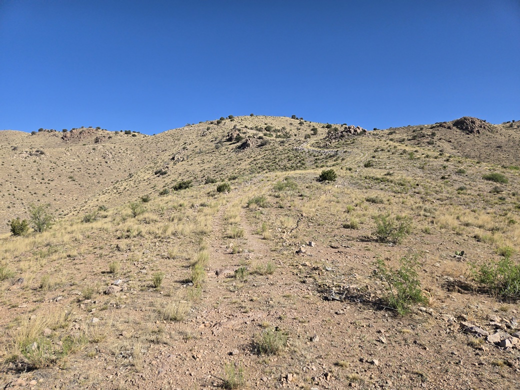
The road-equivalent then gains a ridge, levels off a little, then starts getting steep again. It made a left turn, now on the steepest segments. At one bend about half way up was a set of water tanks with solar panels. Past it, the road stayed steep then finally gained the high ridge.
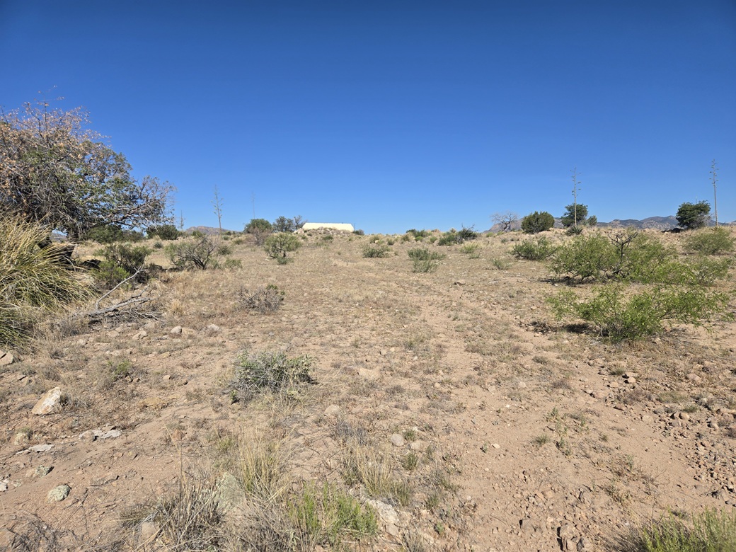
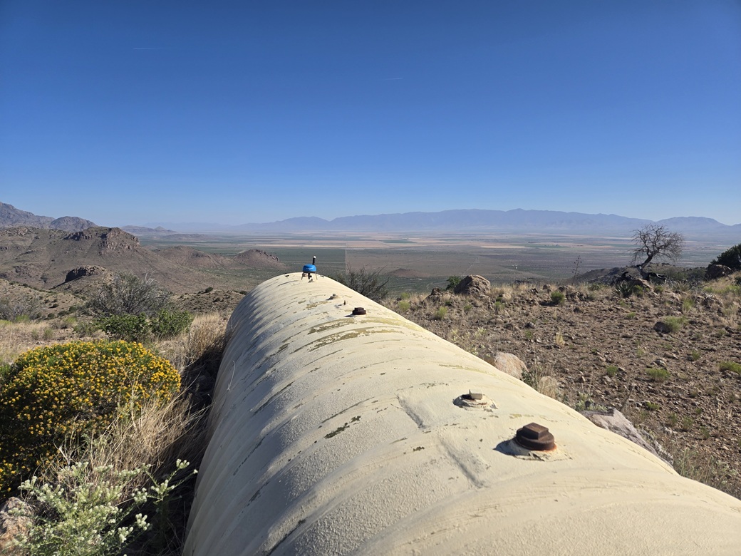
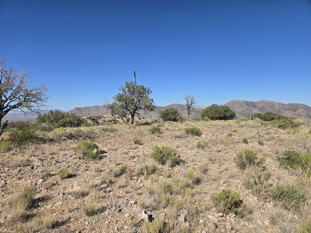
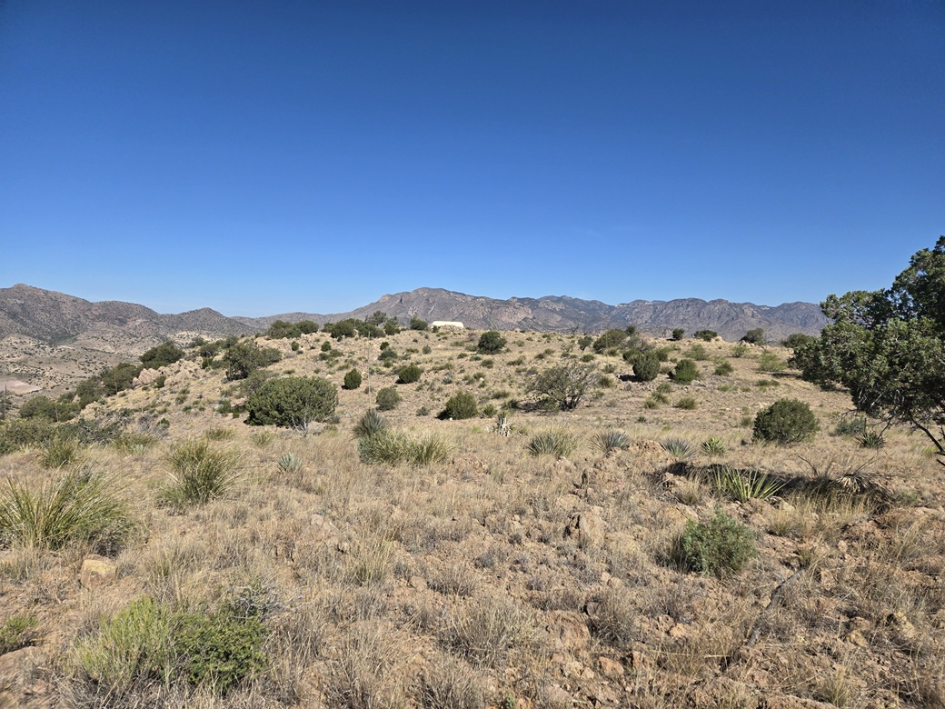
Once on the ridge and around a bend, I could see the summit for the first time. The road stays high and aims toward a low saddle. At the saddle, a lesser track veers toward the presumptive summit, on which a big water tank sits smack on the highest point. It had taken me 1 hour, 15 minutes to get here, covering 3.2 miles and almost exactly 1,000 feet of net gain.
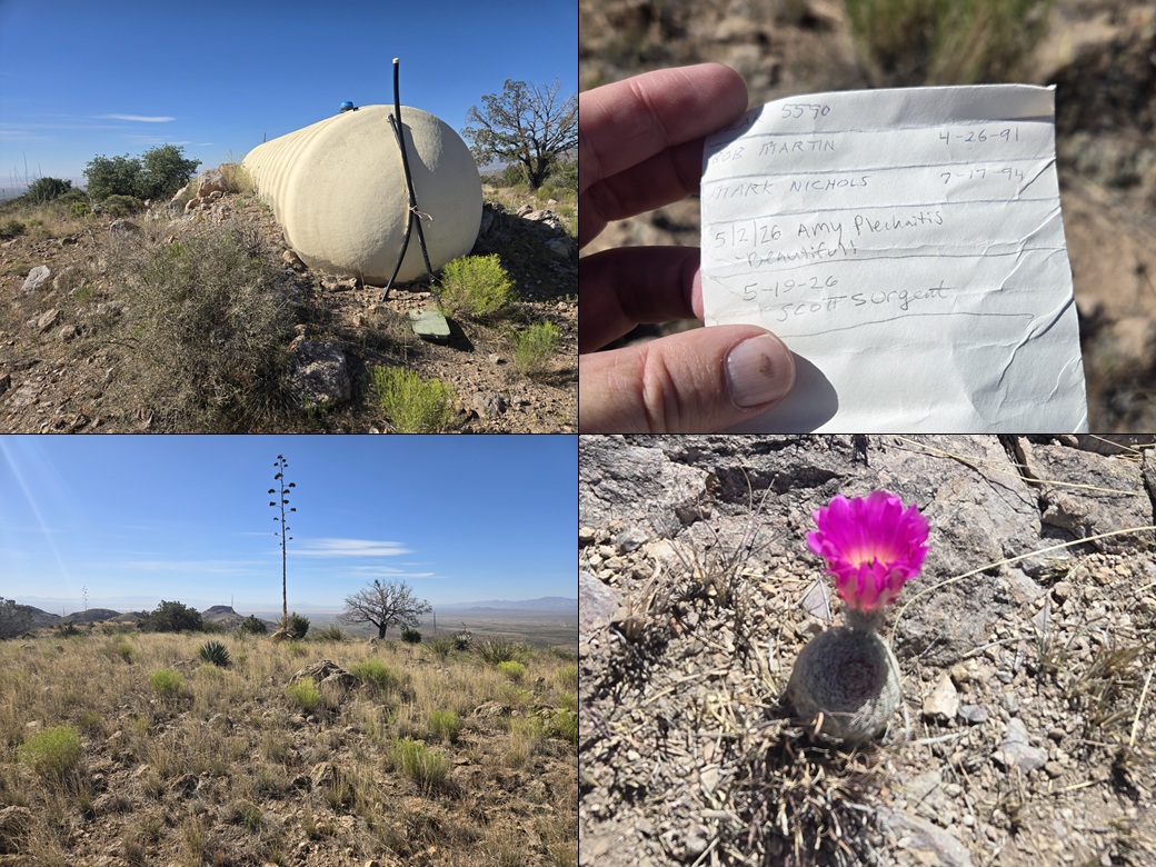
I walked to the tank. The rocks abutting it were the "highpoints" but were obviously placed there by a dozer. I tagged them anyway. I then found a rock protrusion nearby which looked like the highest natural point. I found a register within a cairn and sat for a break. Bob Martin was here in 1991, Mark Nicholls in 1994. Then no one until Amy a few weeks ago, now me.
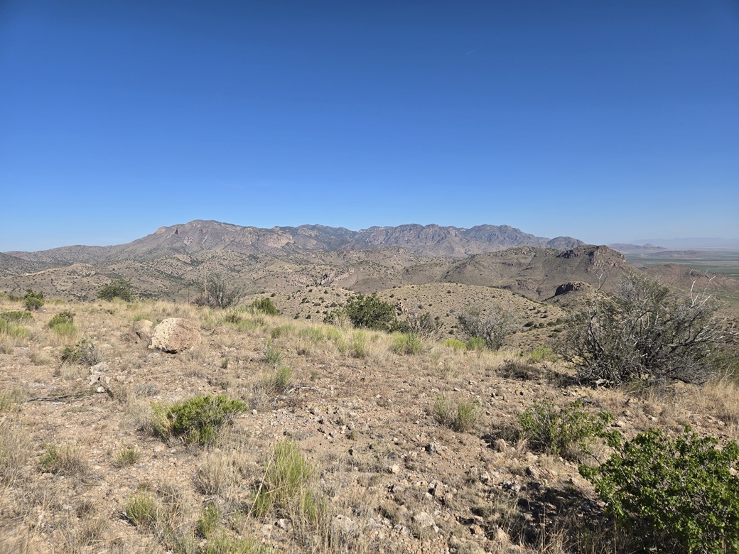
The day was sunny and clear with almost no clouds, temperatures now in the mid 60s. It was dry so distant views were good. I could see the big Pinaleño Mountains to the north, the main Winchesters to the northwest and west, and the Dragoons looking south. To the east, I had glare. I spent about twenty minutes here, fiddling with my phone part of that time.
Another rise about 500 feet to the southeast looked about as high as where I was. On the hike out, I detoured up its easy slope and kicked the top rock. It looked about identical in height as the water-tank summit, too close to call and one I did not want to ignore. It's possible the water tank summit was higher before the bulldozers flattened that area. I am impressed they got bulldozers up here to begin with! (Lidar says this summit is 5,575 feet, or 5 feet lower than the main summit)
The hike down went well. I had to be careful not to slip on the rubbly rock-equivalents on this non-road. I just took it slow with baby steps and my trusty poles. Once down off the steep slopes, I had a much easier and better time walking out the main road back to my car. Those cows had not moved at all, so I bypassed them again.
The walk out took a little over an hour, and I was back to my car at 9:44 a.m.. It was warmer now, but still pleasant, in the low 70s. The breezes were picking up, but only "gusting" to about 10 miles per hour for now. This is typical. On windy days like we've been having, the heaviest winds happen in the mid afternoon.
I stayed in my hiking boots but changed into a dry shirt. I loaded up the car, then drove out slowly, back to Airport Road. I did not have any second peaks planned, but I wanted to take a look at a few in the area anyway. Back in Willcox, I stopped at a Circle K for something to eat and drink, and fiddle once more with my phone.
My phone did a software update overnight, and all sorts of settings were reset. I was trying to unset some of these settings. These updated usually include new games that I don't want, and who knows what else. I also uploaded a track of my hike to Peakbagger, as I am still getting used to this feature.
I took a drive to the Circle I Hills north of town. This is the second or third time I've been here. There is a big "no trespassing" sign alongside the road but the road itself is open, not posted and not gated. I did not proceed, but think that the sign is a bluff. The land beyond it is State Trust land. This is not uncommon for landowners here to pull stunts like this.
I decided to start heading home. I followed the same route, traffic being very light today. I stopped in at the general store in Sunizona for more drinks (the dry air and steady breeze was parching me). By now, the winds had picked up to a steady 15 miles per hour blowing north, so I was driving into the wind. I was back in Bisbee just after noon.
The hike had gone well and it was prettier than I was expecting. These lower Winchester foothills are desert peaks with no substantial forest, mainly grasses, scrub, and some cactus. I never saw any snakes. I have some ideas now for return visits but will likely wait until Fall.
The roads I drove were decent. They could be faint at times. In a few spots, the tread was coarse sand and in other places, dried mud with ruts. Today was dry and everything felt solid, but high clearance is a must. There are a few small arroyo crossings that need to be handled carefully. The latter half of the road (past the second gate) was much better, basically two ruts on desert gravel.
|

|