May 19, 2026
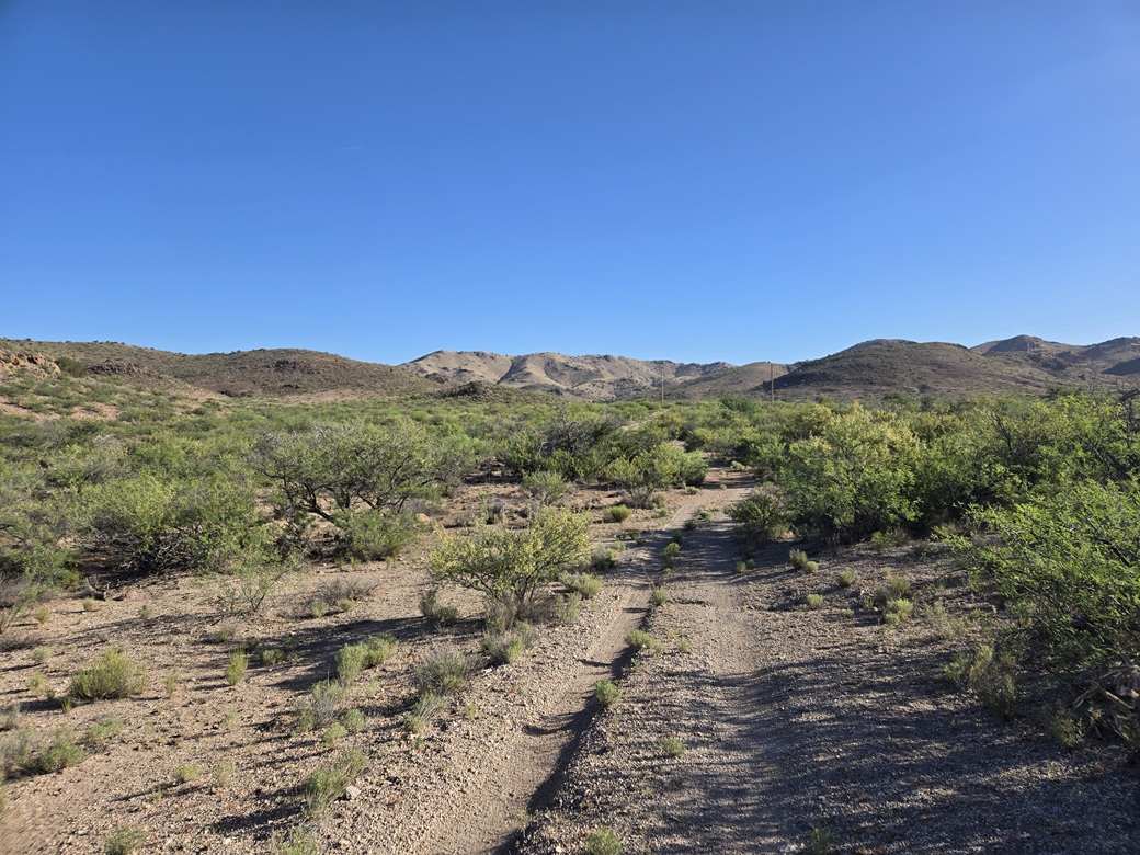
The peak is on that distant ridge, but not visible yet
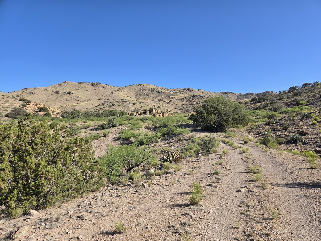
Getting closer
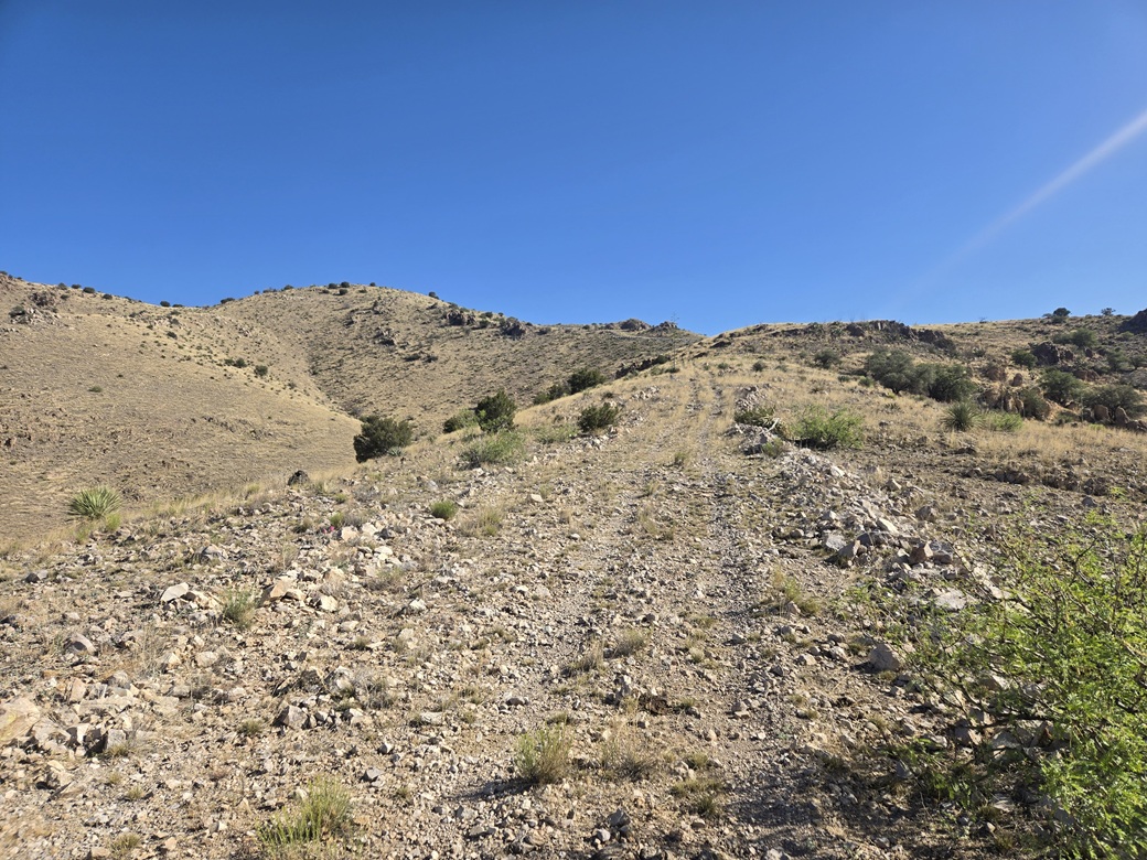
Starting to go uphill
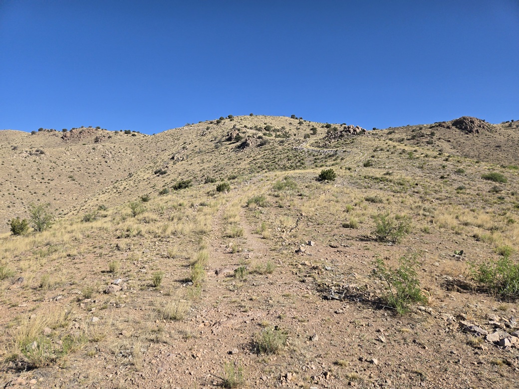
More uphill
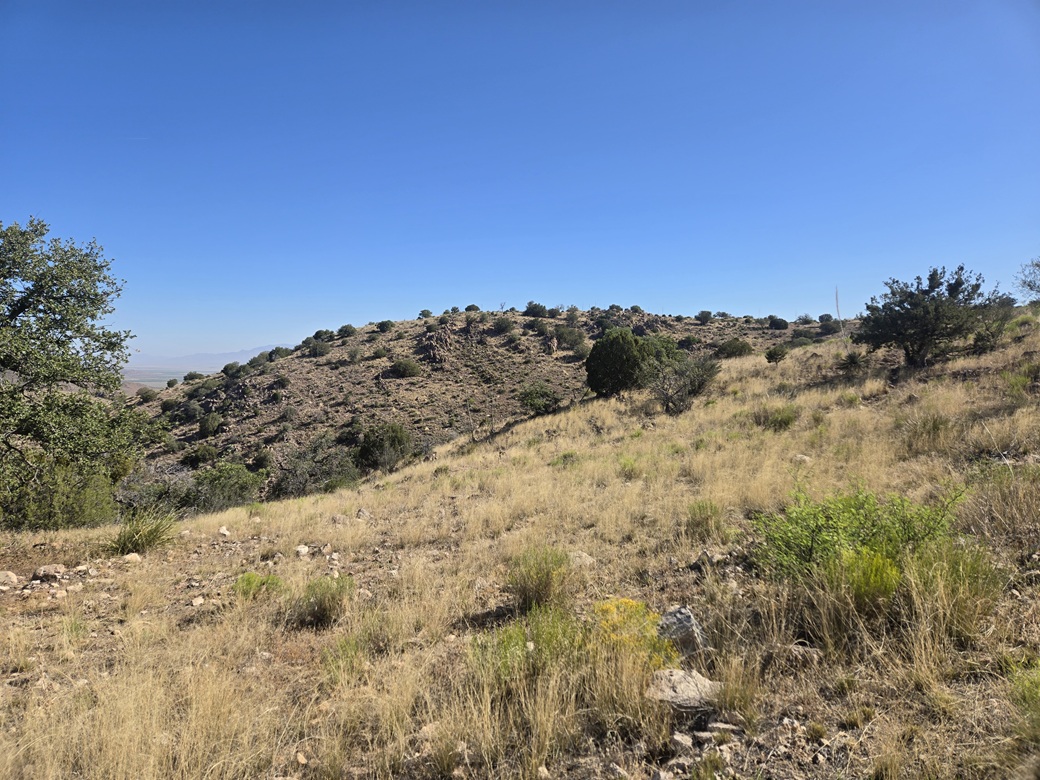
Now atop the ridge and rounding a bend, the summit appears
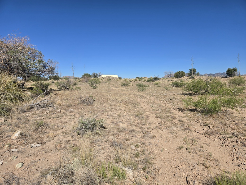
The summit with a big water tank on it
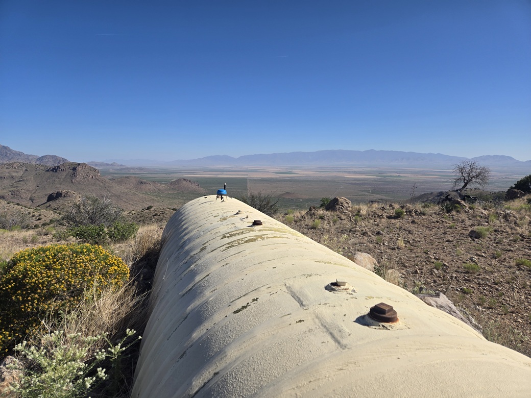
View north, Mount Graham and Blue Jay Peak
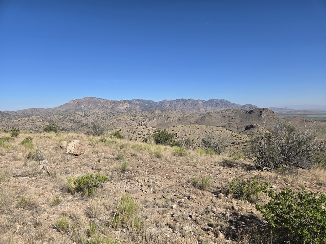
Northwest, the main peaks of the Winchester Range
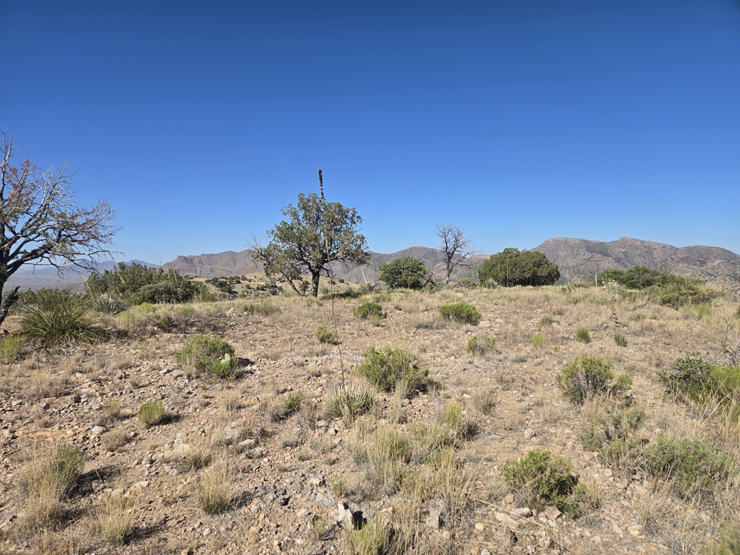
West, the flattish summit area
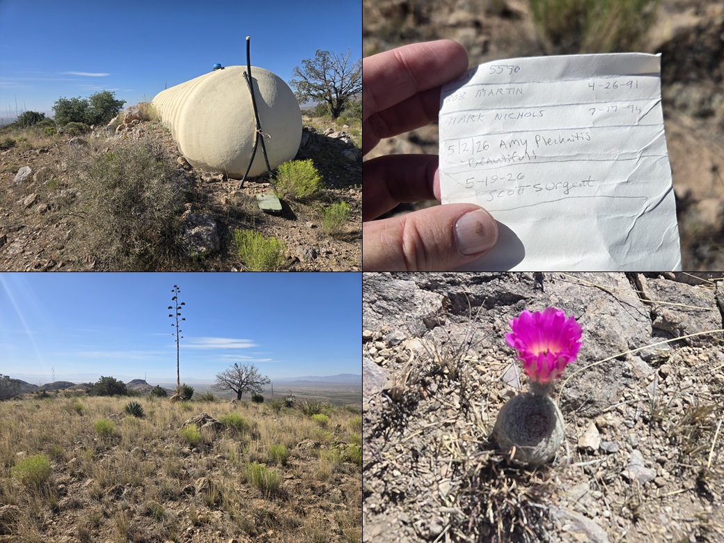
Closeup of the tank, the four signer-inners since 1991, the top of the other rise that may be as high, and a rainbow cactus flower
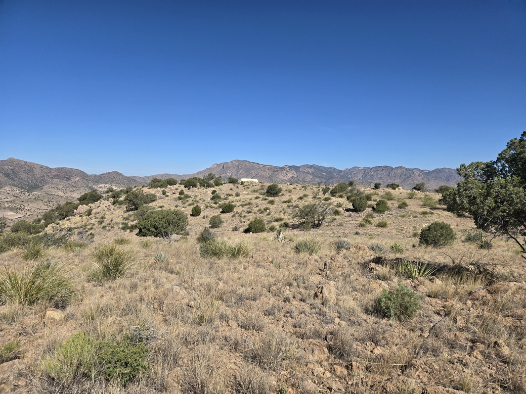
View of the water-tank summit from the other possible summit
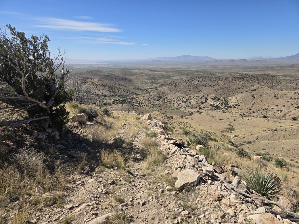
Starting down, a look south over the high desert, with the Dragoon Mountains in back
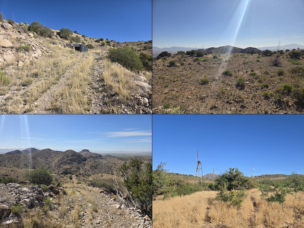
Some water tanks on the steep slope, A view to the east at Square Mountain. another downhill shot, and an old windmill near the start of the hike
Arizona Page • Main Page • Trip Report
(c) 2026 Scott Surgent. For entertainment purposes only. This report is not meant to replace maps, compass, gps and other common sense hiking/navigation items. Neither I nor the webhost can be held responsible for unfortunate situations that may arise based on these trip reports. Conditions (physical and legal) change over time! Some of these hikes are major mountaineering or backpacking endeavors that require skill, proper gear, proper fitness and general experience.