The Mountains of Arizona
www.surgent.net |
|
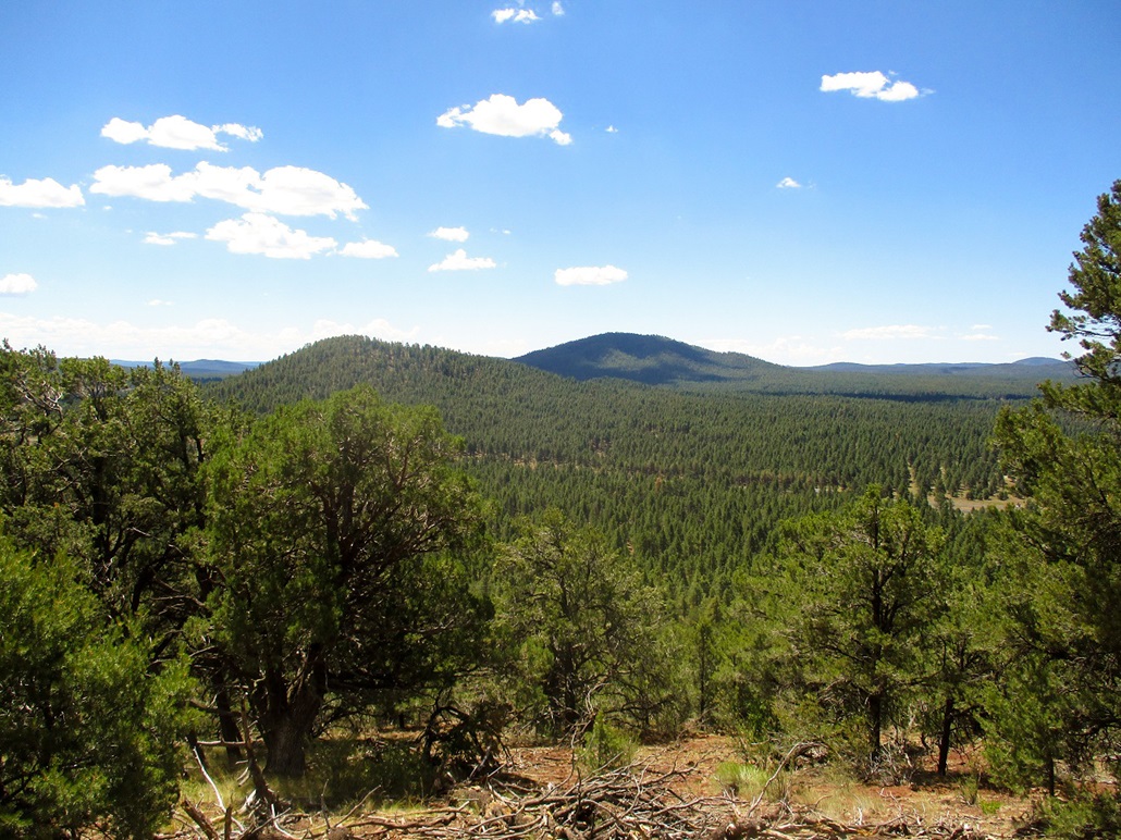
Wild Bill Hill • Dude Mountain • Signal Hill I was driving to Henderson, Nevada, to visit my family. To break up the drive, I looked for a handful of hikes close to Interstate-40 that did not look long nor would use up a lot of time. I left early from Payson, drove into Flagstaff, then took Interstate-40 west to the Bellemont exit, getting on the north-side frontage road and catching Coconino Forest Road 171, going north. I drove FR-171, which is a good gravel all-weather road, north for about 6 miles, then eased onto FR-156, which goes west and circles around Wild Bill Hill, the first of three peaks planned for the day.
Date: July 28, 2020
• Elevation: 8,189 feet
• Prominence: 569 feet
• Distance: 1.6 miles
• Time: 1 hour, 15 minutes
• Gain: 570 feet
• Conditions: Sunny and warm
Arizona
•
Main
•
PB
•
LoJ
•
Interactive map
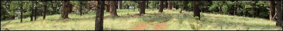
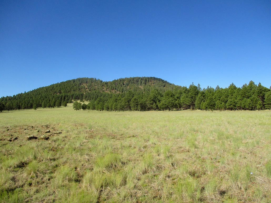
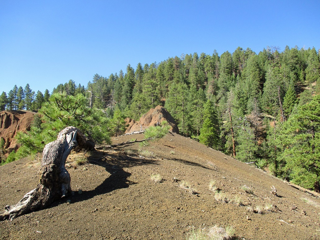
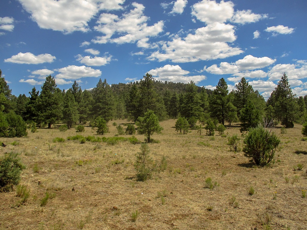
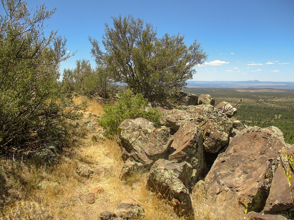
Wild Bill Hill is a volcanic mound in the Coconino National Forest. It lies southeast of Kendrick Peak and south of Antelope Hill. It blends in with all the other hills, but it has good road access.
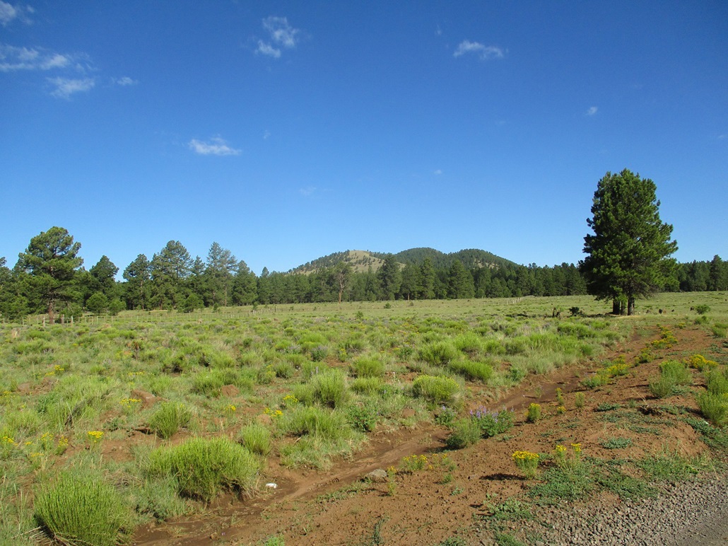
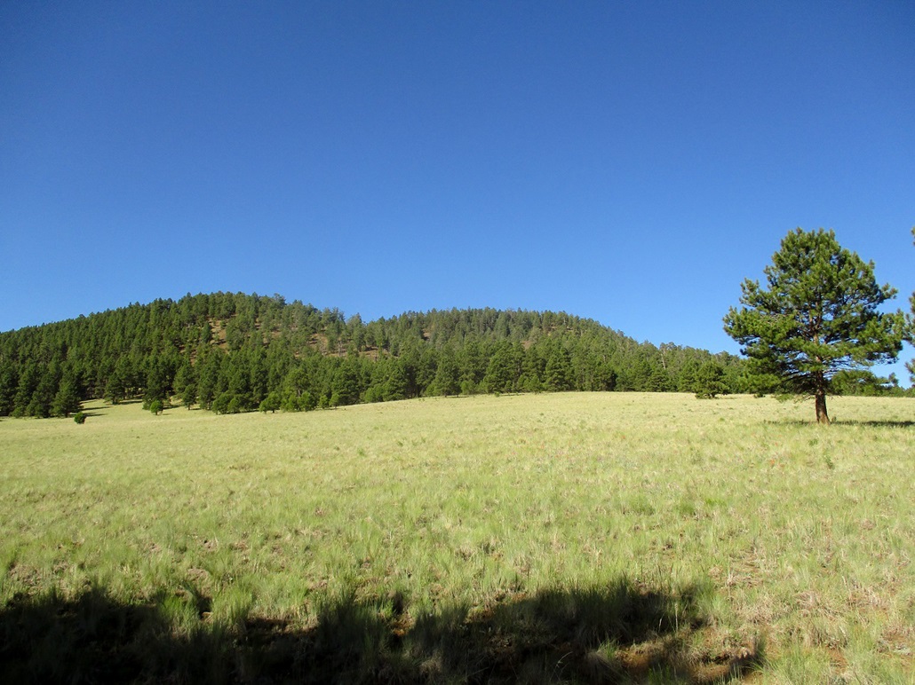
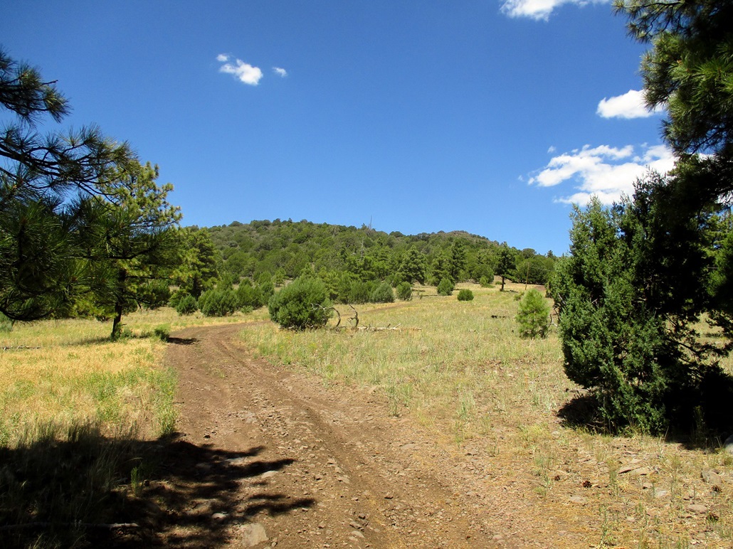
My plan was to get to the west side of the hill and barge up its west-facing slopes directly to the top. It looked to be about a half-mile one way and steep, but would go fast. However, FR-156 was in not as good as shape as FR-171, with ruts and pools of water from the recent monsoon rains. I got in a liltte over a mile, to the west side, but here, the forest grew thick and the road muddier with more substantial pools. I did not press my luck. I turned around and drove back out about a half mile, and parked north of the hill, a little farther out but with open meadow for about half the way.
I got dressed for the hike, locked up the car and started walkingat 8:45 a.m.. The weather was sunny and very warm, pushing 80 degrees even at this early hour and at this elevation, suggesting a very hot day state-wide (which turned out to be true, with Phoenix reaching 118 degrees). I walked south through meadow, then through trees, then to a fence that I crossed, then across another sloping meadow to the base of the steeper slopes and the trees. I picked a slope at random in the trees to start up.
The undergrowth was light and I gained about a hundred feet quickly, then finding a trail. I was not expecting a trail, but if this went to the top, I may as well follow it. So I did, going uphill. It angled more to the southwest then kind of meandered to where I lost patience with it. I left this trail and barged up more open slope another hundred vertical feet to top out on a small nubbin.
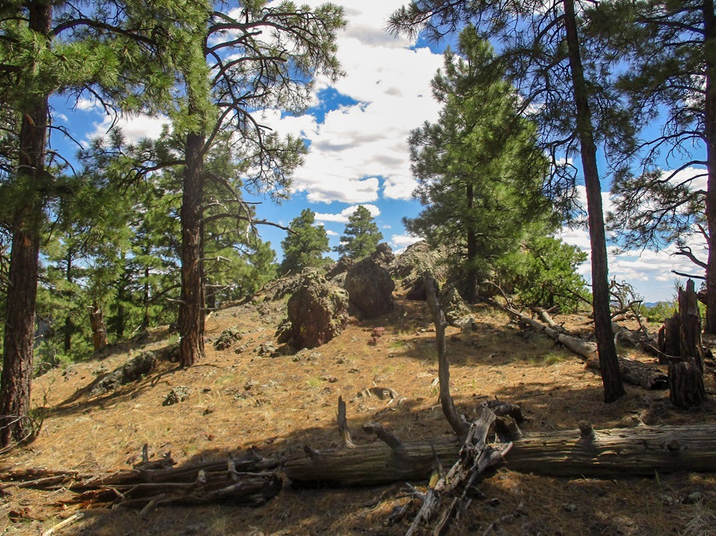
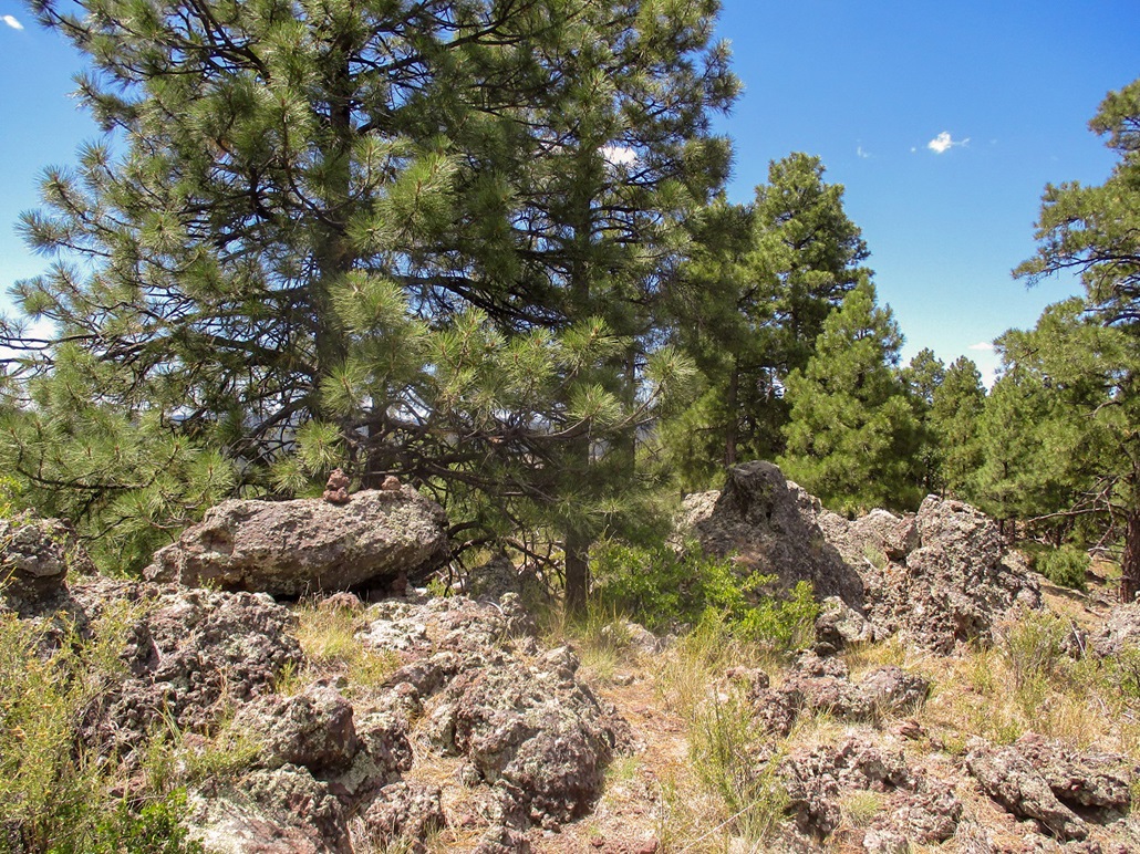
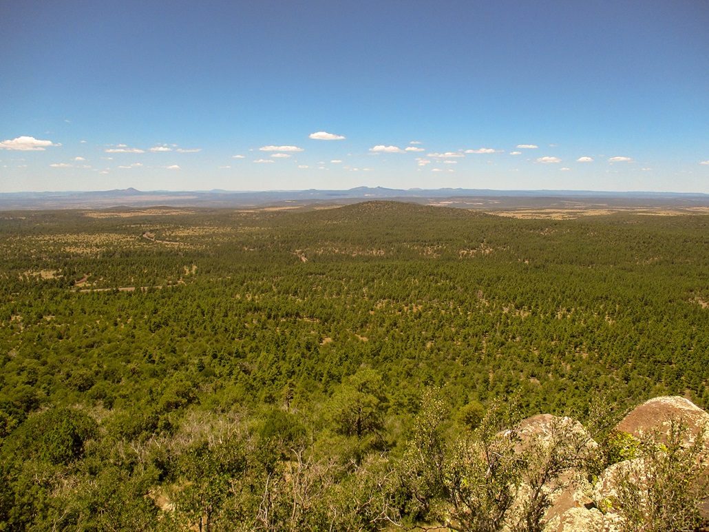
This nubbin lies on a small ridge of exposed agglutinate rock covered over in gravelly rubble. As long as I stayed on the ridge, I was fine, but on the sloping terain, it was very difficult to keep from sliding downhill. This area looks like a small eroding canyon, similar to the more dramatic one at Red Mountain. This one was small and had just a couple rock tents, but with a few rock outcrops that looked challenging to squirm past. I was forced to ease down a slope of rubble. I just needed to get down 20 feet or so, but even sitting and using my feet to govern my slide, there were a few spots where I simply had no control. Fortunately, there was no danger. Below me was grassy slope.
I was able to get down this slope, cross beneath a rock outcrop, and catch the ridge again, on another slope directly below the highpoint. I saw another trail here! So I followed it. It was a good trail that went southeast into the little saddle where the three lobes of Wild Bill Hill connect. The trail then gained south to a saddle connecting the highpoint (the western lobe, elevation 8,189 feet) and the southern lobe (elevation 8,144 feet).
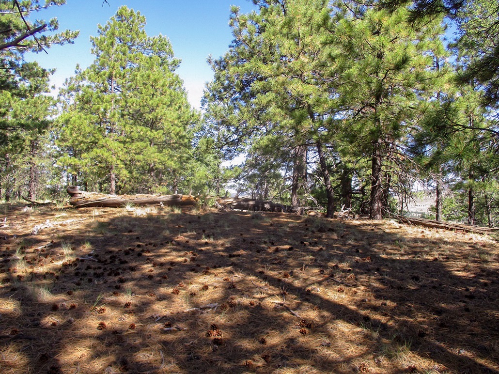
At the saddle, I left the trail and walked up easy slope to the top, which was wooded and offered no views. I paced the area and kicked a few tree stumps, then started down. Not necessarily following my exact route, I went more east and caught the trail, then followed it down past the rubbly ridge I had been on earlier. I was thinking I would follow the trail down to wherever it let out, then walk back to my car from there.
The trail was not in good shape and became thin in spots, where it crossed slopes of the bare rock and rubble. Once again I sat on all fives and eased down some unpleasant parts to get on grassier slopes. I gave up on the trail and followed a good slope downhill and out of the trees, back into a big meadow. I was southwest of where I had started, so I crossed the meadow, angling northeast until I was back to the fence. I remembered where I had crossed, so I crossed back over at the same spot, which meant my car was due north. I was back to the car a little before 10 a.m., a one-hour, fifteen-minute hike.
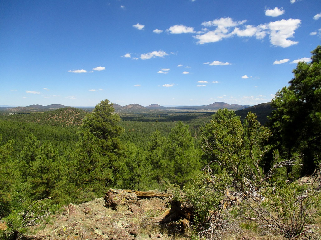
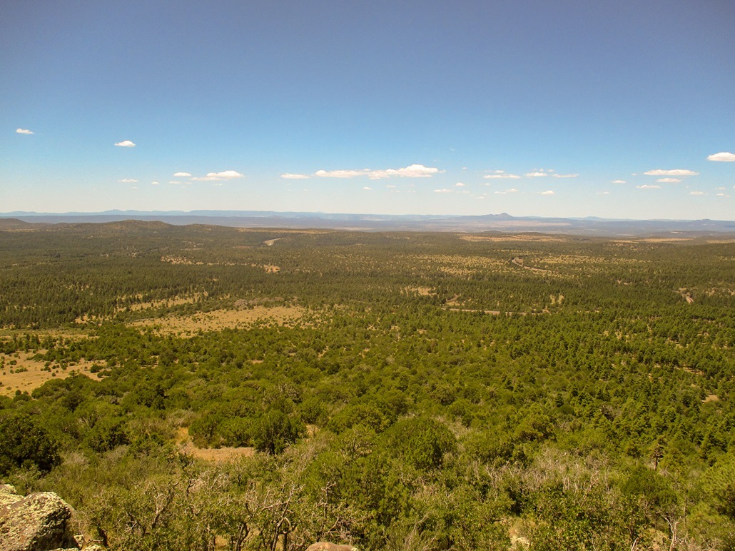
The hike had gone well but had a few more surprises than I had planned for. With the extra meandering, I estimate I covered about 0.8 mile each way. Maybe there's a trail that goes up or better access, but I was pleased how it went. Overall, it wasn't difficult at all, just a little bit of a hassle with the rubble. The views were great when I had openings and I enjoyed the hike a lot.
Driving out on FR-171, I was just a mile from where it meets the frontage road. A couple cars ahead of me were going real slow and a big fire truck was coming northbound on this road. So we all eased to the right. This area is an ad-hoc camping area, mainly bigger RVs and where they all seem to park close to one another, even though there's no formal spots here. Anyway, there was a ruckus about fifty feet away: one guy was livid, screaming and yelling at two other people, an older couple. They were backing up and the man had picked up a rock to use as defense. The first guy was shrieking at the top of his lungs. The firefighters stopped and a few got out, and the first guy then runs up to them about "being punched in the nose". He would not calm down. Obviously, I have no idea what actually happened. The first guy looked really bad, in a drunk and slovenly way. The other couple looked like two ordinary older folks. I started driving out, and soon, a fire chief car and a paramedic unit came up. Were they responding two this particular incident? I don't know. I suppose one lesson is that if you're going to live in the forest, don't live thirty feet from another RV. Find a more secluded spot.
I was back on to Interstate-40 soon, and drove a few more miles west, exiting at the Garland Prairie/Circle Pines Exit near Williams, for another short hike on Dude Mountain. It was getting hot by now.
Elevation: 7,404 feet
• Prominence: 345 feet
• Distance: 1 mile
• Time: 40 minutes
• Gain: 445 feet
• Conditions: Hot
PB
•
LoJ
Dude Mountain lies immediately north of Interstate-40 at the Garland Prairie/Circle Pines exit, about five miles east of Williams. I was driving to Henderson, Nevada, breaking up the drive with short hikes close to the highway.
I exited the highway and went north briefly to where Circle Pines Road curls to the east. Here, a wire-stick gate allows access onto a gravel forest road. I went through, drove a quarter mile north, then east a short ways to a batch of power-line boxes all enclosed in a tall fence. I had driven about a half-mile from the interstate. It was 10:30 a.m. and warming fast, in the high 80s now.
The road continues east past the power-line boxes, but I parked and walked it, then cut upslope. Here, the trees aren't as tall, no ponderosa pine, mainly big junipers and pinon. The terrain was open enough to walk through in shorts, but whenever I came upon shade, I stopped to catch my breath.
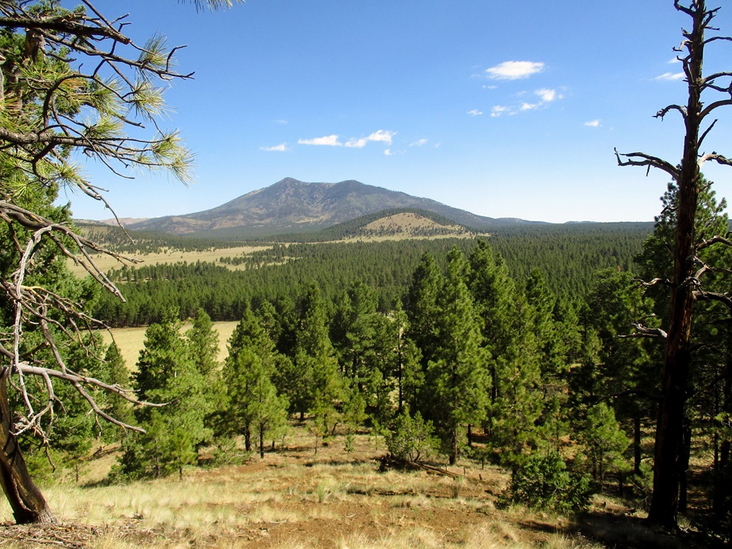
The uphill segment is steep but quick, gaining about 250 feet. I was soon on the top ridge. I turned right and hiked it to its east end. The summit is a rock outcrop with pretty good views to the east and north. It was hot and uncomfortable, so after snapping a couple images, I started the downward hike.
I didn't try to retrace my steps. I just busted downslope when it felt right and soon was back to the track and to my car. The hike had gone fast, 40 minutes and about a mile of hiking.
The summit was a pleasant surprise, but the hike itself was short and sweaty, and not memorable. Dude Mountain is a ranked peak and one to tag in the area. I liked it today because it went fast, since I was on a tight schedule.
I had one more hike planned, another (hopeful) quickie up the road, Signal Hill.
Elevation: 7,444 feet
• Prominence: 444 feet
• Distance: 1.6 miles
• Time: 1 hour
• Gain: 485 feet
• Conditions: Hot
PB
•
LoJ
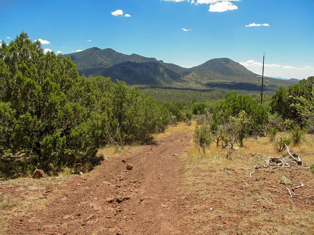
I had just hiked Dude Mountain about six miles east, and had this peak last on my meager agenda before heading to Henderson, Nevada. I chose today's peaks based on proximity to the interstate and ease, since I did not have a lot of time. This peak, Signal Hill, lies north of Bill Williams Mountain on the west edge of Williams and essentially of the whole San Francisco Volcanic Field. To the west, the land drops dramatically to the lower plateau toward Ash Fork.
I exited the highway at Exit 161, went north, then west on the main road fronting the interstate. The road then makes a right turn through a narrow tunnel underneath the railroad tracks. However, I stayed straight, now on a gravel road, Kaibab Forest Road 630. I continued on this road a couple miles to where it made a sharp hairpin right turn, easing over the railroad tracks. Past the tracks, the road braids into no less than 4 tracks, all converging again anyway. I picked one, followed it through a gate, then parked when the road became worse and started to braid some more. I was about a mile from the little peak's top.
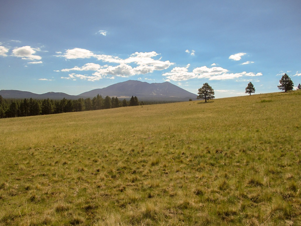
It was about 11:30 when I parked. It was hot, pushing 90 F, with an intense sun, not much of a breeze, and bugs. I wasn't enthusiastic about this hike but since I was here, and it was short, I started walking anyway. I followed the road, going up whenever encountering a fork. Soon, I was on an elevated bench with no trees and excellent views. The hilltop was ahead to the north.
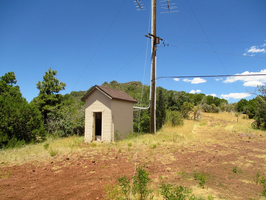
I stayed on the road, now an ATV track, heading north. There was little shade, so whenever I found some, I took an extra long break. The ATV track is steep but short, and soon it led to a small brick structure and a power-line pole, both looking derelict. The top was just an eighth of a mile away, about 100 feet higher.
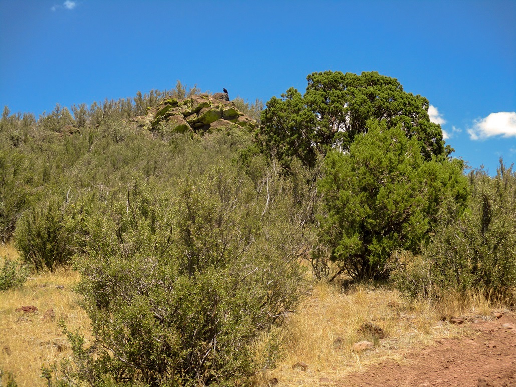
The ATV track continued upward and finally ended below the top, which is guarded by heavy brush and a rock pallisade. I walked to the end of the road and then through the brush and grass, mindful of snakes. I got to the rocks and scampered up these to get myself onto the top, where I encountered more brush. I kept wandering through openings until I was at the very top, on the summit's north top. I took a few images but did not stay long. Like the earlier peaks, the top was not that interesting, I was hot, and the sooner I started down, the sooner I'd be back in my car.
I found a trail ... and followed it down. It led back to the road, so I had missed it coming up, but the junction was not so obvious, so I did not know any better. I hiked back to the structure for better photos, then down and back to my vehicle, covering about 1.6 miles in about an hour.
I changed into driving clothes and got back onto the interstate, all my hiking done. I spent the next few hours driving to Henderson, Nevada, temperature about 112 degrees. My dad had been in the hospital, and our whole family convened to visit him as he got out. It was good to see him, as he had been very ill. He still has some battles ahead of him, but I was happy to see him in any state.
Signal Hill was a nice hike but nothing special. In cooler conditions, it would be a more enjoyable hike. The views up top were excellent.
|


|