
The Mountains of Arizona
• www.surgent.net
|
| West Cedar Mountain |
• Verde River Valley • Tonto National Forest • Yavapai County |
|
Date: March 14, 2014
• Elevation: 5,489 feet
• Prominence: 1,769 feet
• Distance: 4.5 miles
• Time: 3 hours and 35 minutes
• Gain: 2,000 feet
• Conditions: Cloudy with cool breezes
West Cedar Mountain is in a rugged stretch of the Verde River Valley in central Arizona, about 60 miles northeast of Phoenix. The peak is one of the principal mountains in this area, where the land transitions from the plateaus to the north and west, down to the Verde River itself. On the opposite side, big Mazatzal Peak and its subsidiaries form the imposing eastern canyon walls.
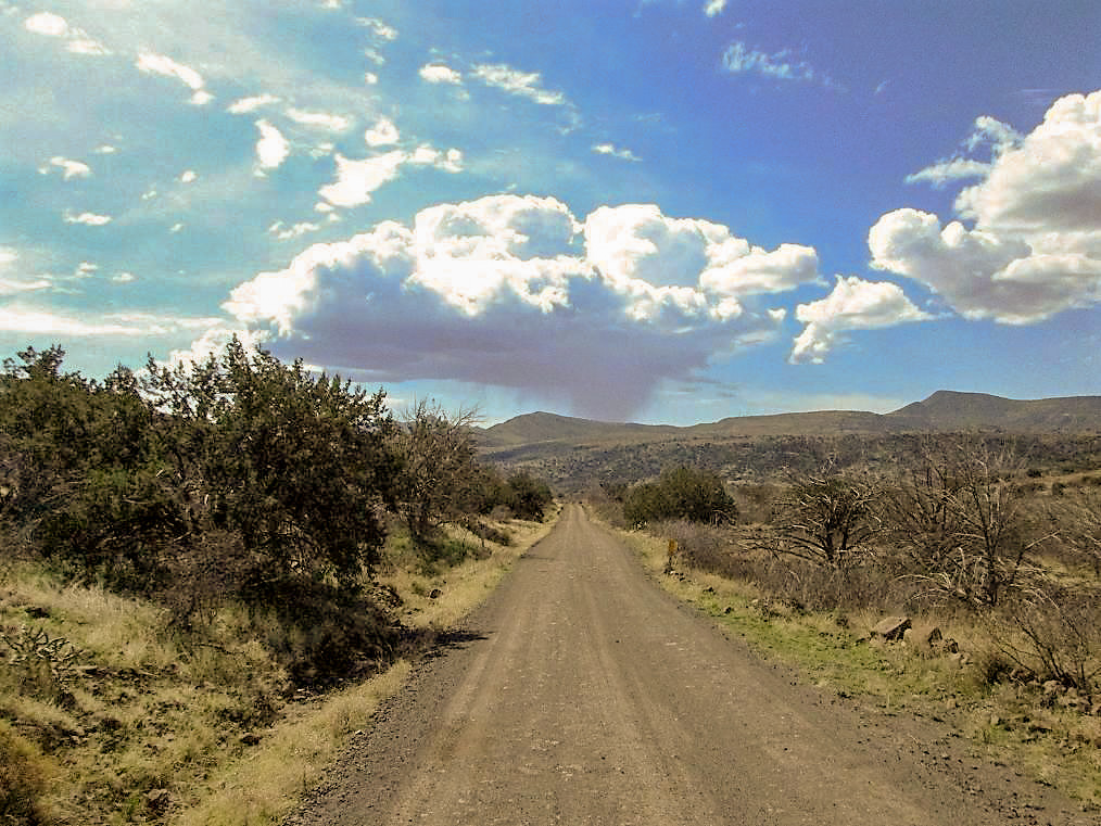
Most of this part of the state is protected as wilderness, with limited road access. Fortunately, a decent all-weather dirt road, Tonto National Forest Road 24, runs north from Cave Creek for nearly 35 miles to where it connects with the Bloody Basin Road, coming in from Interstate-17. This road runs over the western flank of West Cedar Mountain, and a lesser road actually snakes partway up the mountain itself, leaving a nominal amount of cross-country to gain the summit.
I left home at 5 a.m. and drove to Cave Creek via Scottsdale Road to where it changes its name to Tom Darlington Road at the Carefree Highway intersection. I went north on Darlington to Cave Creek Road, then northeast a few miles to a Y-split, where a right leads to the Bartlett Dam, the eventual fate of the Verde River waters. Forest Road 24 begins here, taking the left at this split.
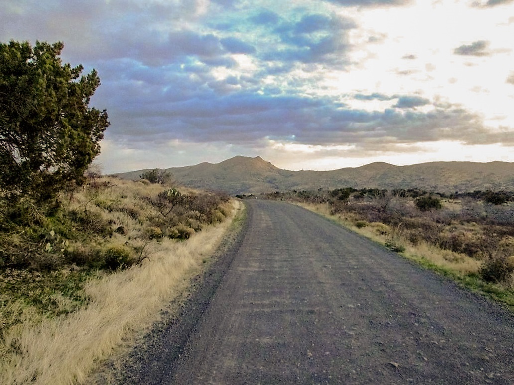
I zeroed my odometer and continued northbound. The pavement ends after about five miles, then a good, wide dirt road leads another seven miles to the Seven Springs Recreation Area. A couple of segments of the road were paved as they fronted private lots or the Recreation Area itself. I stopped briefly at a parking area to read my maps, the sun having risen enough by now to provide light.
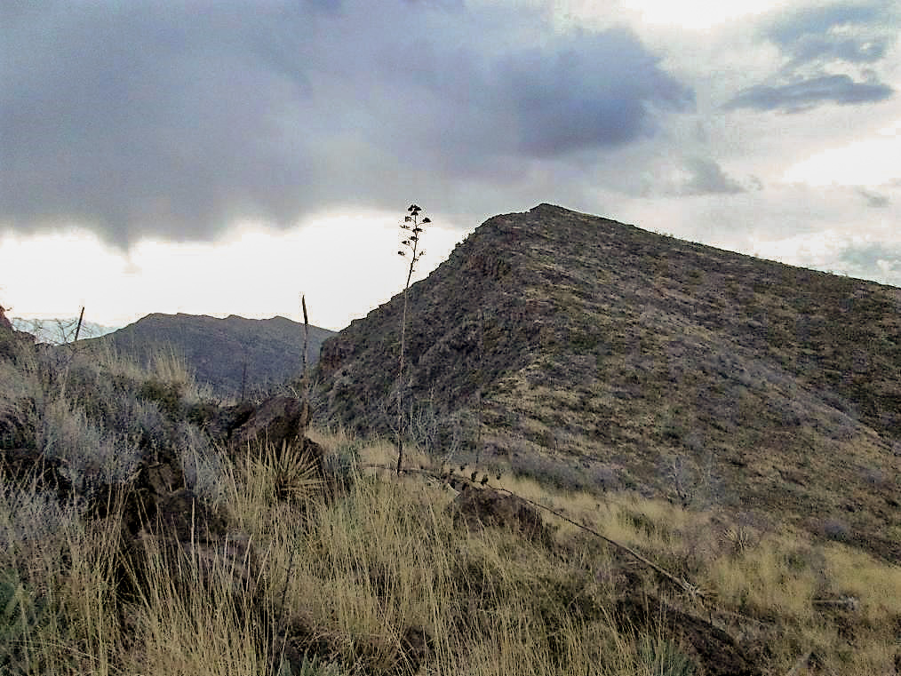
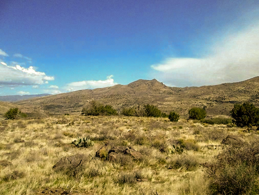
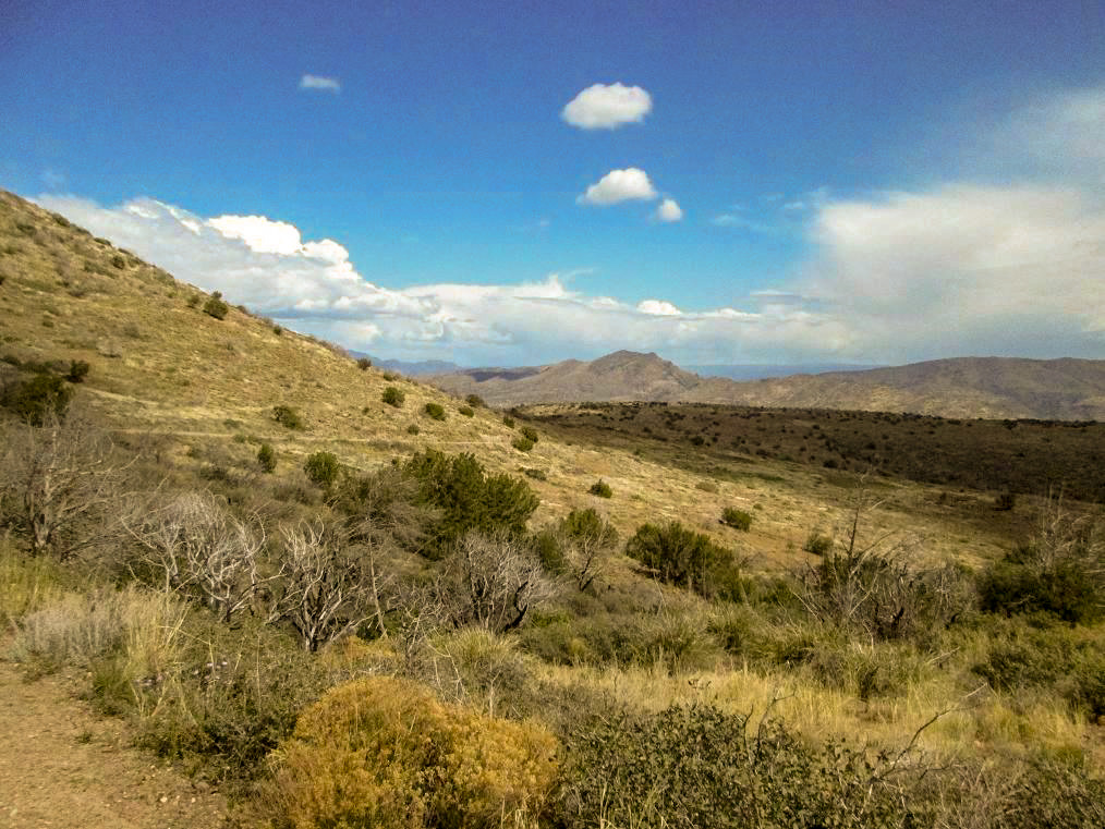
Past Seven Springs, the road continues, now slightly narrower and a hair rougher, but still, a very decent road. I enjoyed the views in the morning sun, a layer of clouds sometimes muting the light. I passed the Yavapai County boundary at 17 miles (cumulative from the original Y-split). At the 19-mile mark, the road gains high onto the side of a mesa, about 4,800 feet. Here, off in the distance, I could see West Cedar Mountain for the first time.
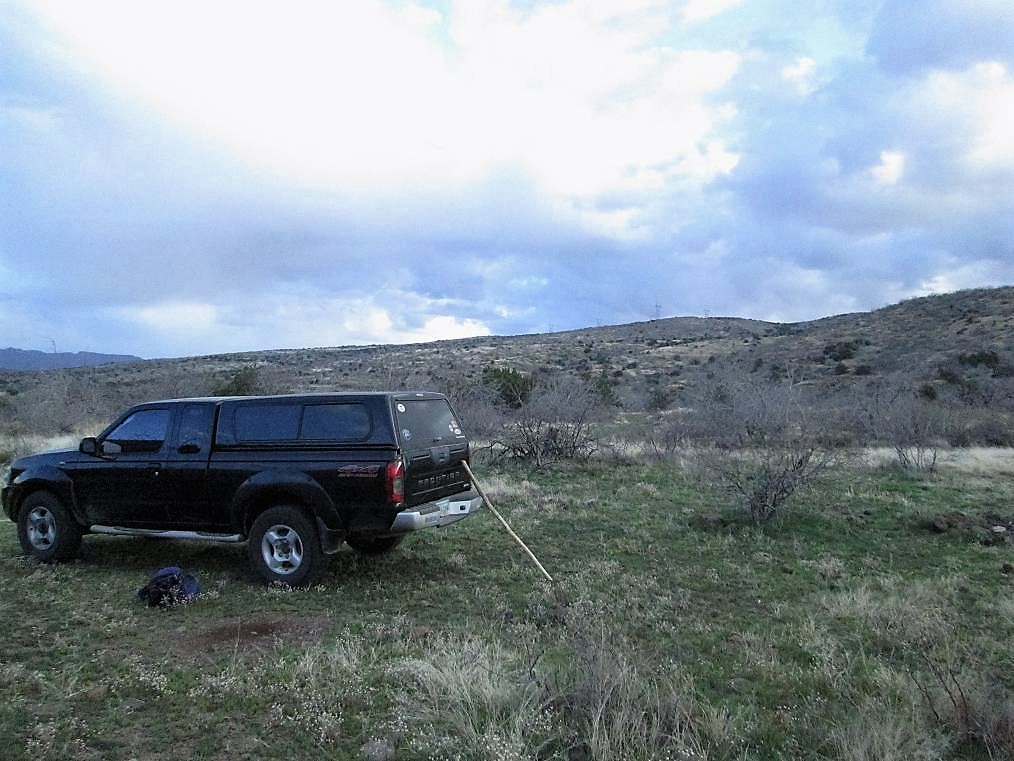
The road drops steeply down the north side of the mesa, then rumbles across another mesa, then drops down again, dropping nearly 1,300 feet in all. It passes by the "51 Ranch", then starts up an easy gradient near a mudstone bluff called CP Butte on the map. Just beyond, I found Forest Road 612 on the right, near CP Tank, elevation 3,680 feet. I eased onto this lesser road and parked behind a small tree. My odometer read exactly 25 miles from the original Y-split.
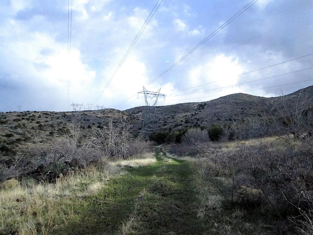
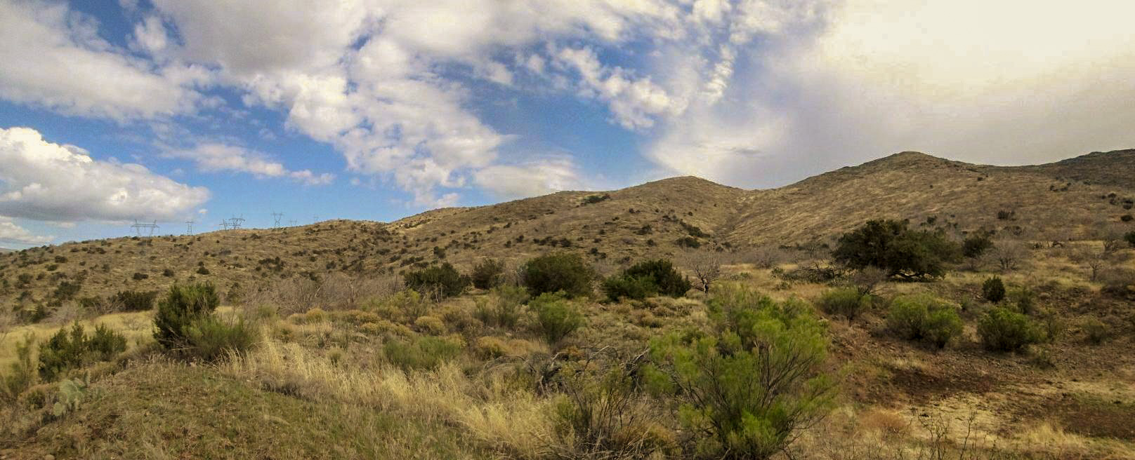
The days was cool and blustery, a lot of mid-level clouds mixed with patches of open sky. Some clouds were dark and looked ready to drop rain, and as they day progressed, some did, mostly as virga, but in a few cases, as actual rain. I got everything in order, locked the truck, and started hiking FR-612 at 7:25 a.m. Quickly, the road comes to a gate. I passed through it and followed the road for about three-quarters of a mile, to where it curled around a lower foothill and gained a flat area at about 4,200 feet elevation, directly west and below the summit. I was also underneath a pair of power lines that ran across these lower slopes. I assume the road was put in partly to service these towers.
At this flat area, I could have continued directly uphill to the top, but I elected to keep to the road as it bent north and followed these transmission lines. I stayed on the road for another mile, coming to concrete stock tank ("Trick Tank", says the map) at elevation 4,780 feet, very near the main range crest. I was about three-quarters of a mile northeast of the summit. My theory was that the ridge would be mostly open and fairly easy to manage. I was partially correct.
At this so-called Trick Tank, I left the road and walked uphill past the tank, another metal tank, and a small corral to a fence line. I crossed it and shortly was on the main crest, now able to look down east into the Verde River itself. The elevation differential between the river and me was over 3,000 vertical feet. The views were tremendous, but the clouds were thick and muted the light. Everything was in shadow.
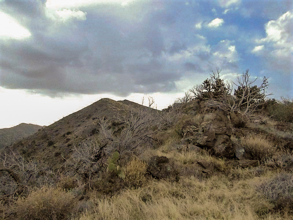
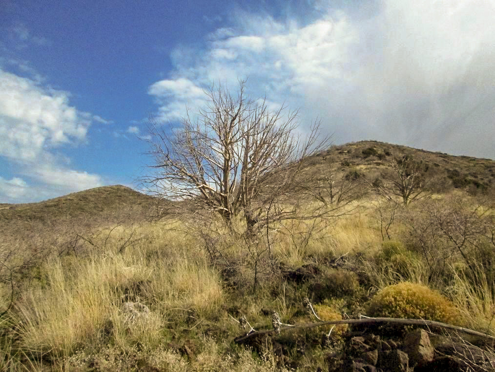
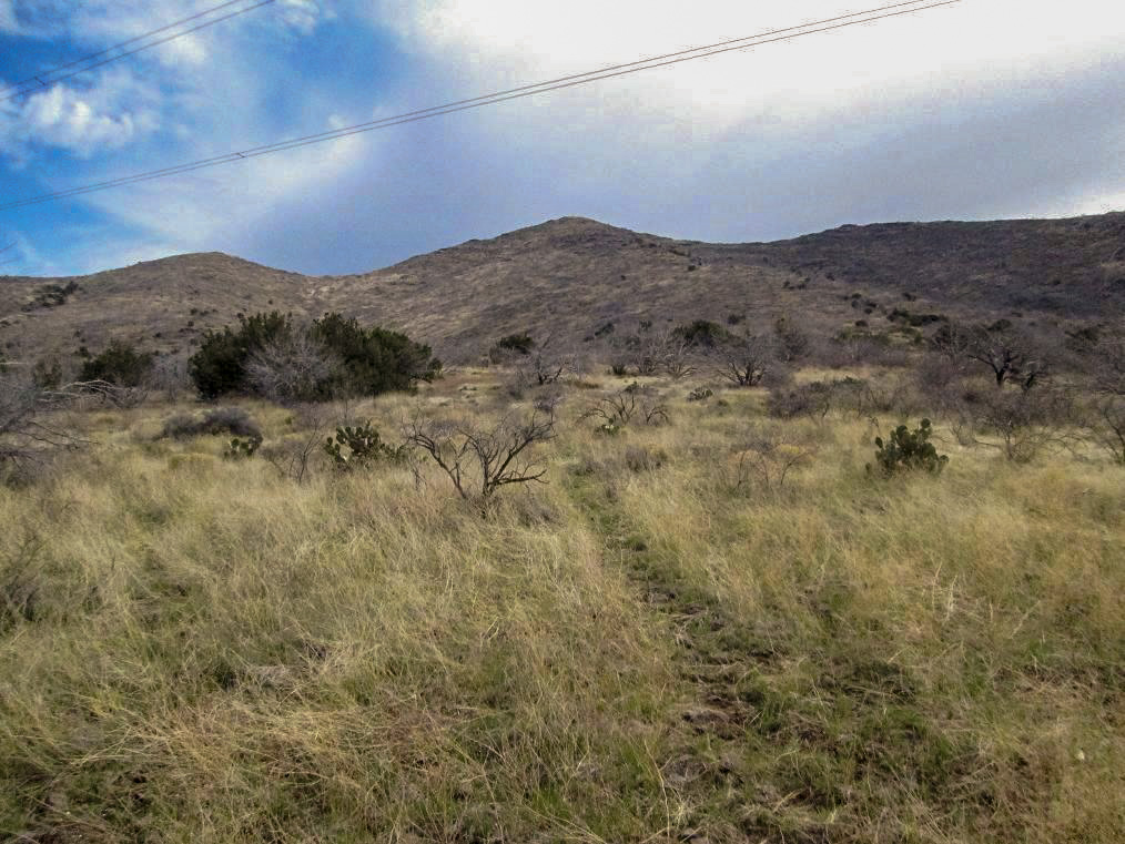
I turned right and started walking south along the ridge. The summit was visible, with a lower sub-peak, elevation 5,200 feet, along the way. The terrain up here was easy, with no cliffs, but there were rock outcrops, a lot of football-sized loose rocks, and heavy brush. The brush was knee high, but often very thorny. It was constantly pulling on my clothing. This segment became a chore real fast.
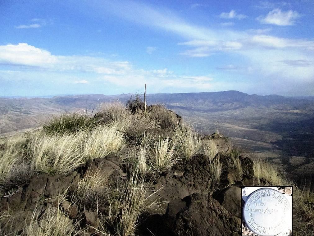
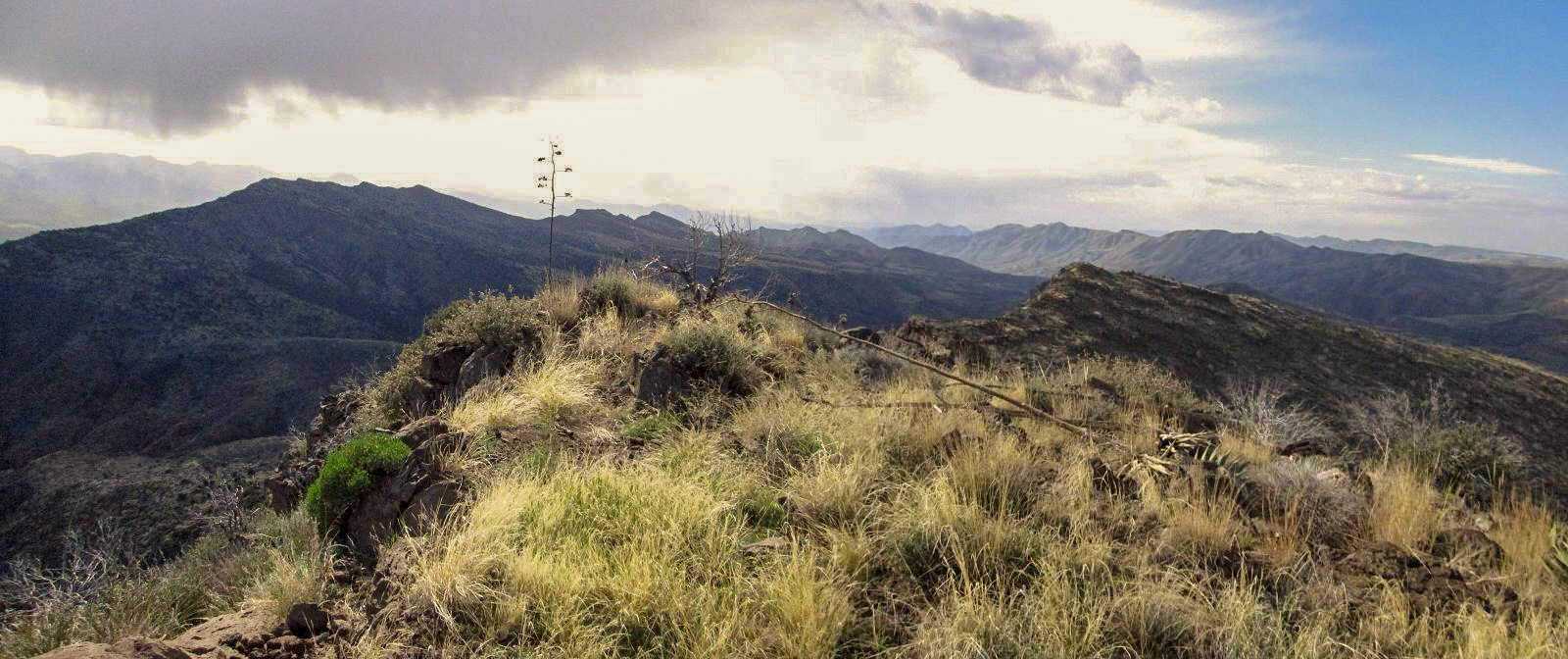
I found some game paths to help expedite my movement, and as I neared the 5,200-foot ridge bump, even got to scramble through some rocks. The final couple hundred vertical feet was easy, a steady mix of rocks and grabby brush. I was on the summit at 9:20 a.m., and at that moment, the sun came out! I had beautiful blue skies above me and million-dollar views in all directions.
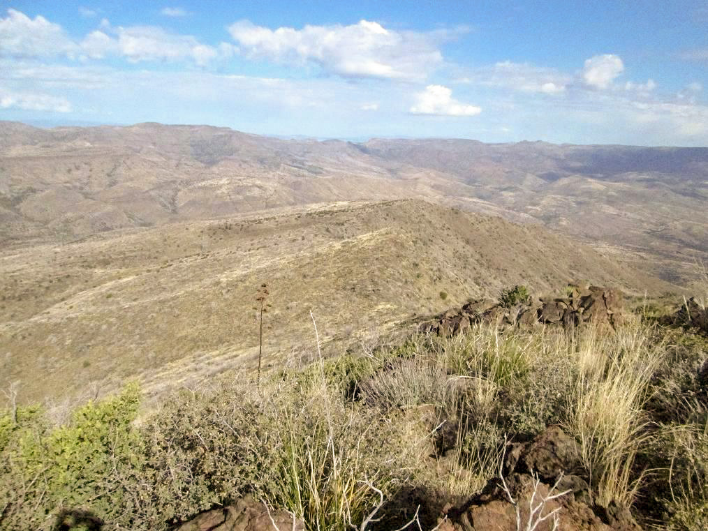
The most notable view is down into the Verde River itself, with the Mazatzal Mountains on the other side. The clouds were still amassed above the river here and kept everything in shadow. West Cedar's twin, East Cedar Mountain, stood to the southeast, nearly as high as my location. Viewing north, I could make out Pine Mountain, where the plateau ends and drops into the river valley. To the west were the New River Mountains, and behind them, the Bradshaw Mountains. The breeze was stiff up here so I didn’t stay long. Instead, I dropped about 30 feet to the west and took a longer break to eat, drink and relax.
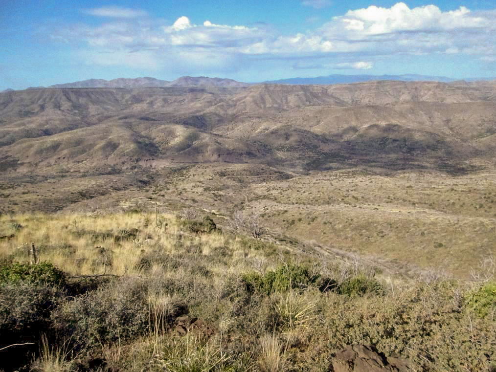
After a total of 15 minutes, I started the hike down. Instead of dealing with the ridge, I opted to hike directly downslope, heading west. I could see the transmission lines and part of the lower road I had hiked up, and the terrain didn’t look too unfriendly. It was a safe gamble.
The hike down was slow and steady. The brush was consistent and I would encounter thickets of those nasty thornbushes, or thickets of a woodier plant with surprisingly sharp leaves. The grass was knee high, the rocks often loose, and snakes were on my mind, but I think the colder weather kept them out of the way as I saw none. After an hour, I was back down to that flat area and to the transmission lines. I stopped briefly for photographs, then walked the road back to my truck, arriving a little after 11 a.m.
I took my time in changing into dry clothes, then started the drive south back toward Cave Creek and home. The drive went well, and I hit a fair amount of rain around the Seven Springs Recreational Area. Fortunately, the roads weren’t muddy nor slick. The drive out took about an hour, and I was back home before 2 p.m., which included a lunch stop.
The hike went well, and the brush wasn't terrible, just annoying. I figured my round trip mileage to be a shade under five miles, with over 1,800 feet of net gain, and about another hundred feet when drops and regains were accounted for. Were I to hike this again, I'd just plow uphill from that flat area, rather than follow the road north. The brush is going to be a factor no matter what.
From the Y-split, it took me about 90 minutes to drive in, slightly less to drive out. I was in the dark for some of the drive in, so I went slow. I never needed 4-wheel drive, but I often found myself in second gear only, usually traveling at 20-25 m.p.h. I was in no hurry and the views were worth the drive.
|

|