The Mountains of Arizona
• www.surgent.net
|
| Webster Mountain & Peak 5732 |
• Highpoint: Salt River Mountains • Tonto National Forest • Gila County |
|
Date: December 5, 2021
• Elevation: 5,781 feet
• Prominence: 1,519 feet
• Distance: 9.2 miles
• Time: 5 hours, 25 minutes
• Gain: 2,620 feet (gross), does not include side trip to Peak 5732
• Conditions: Stunning
Arizona
•
Main
•
AZ P1K
•
PB
•
LoJ
•
USGS BM Datasheet
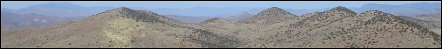
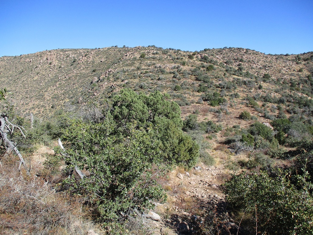
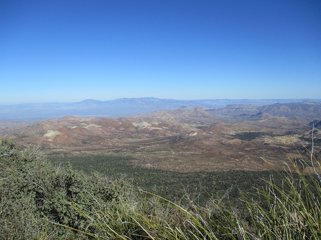
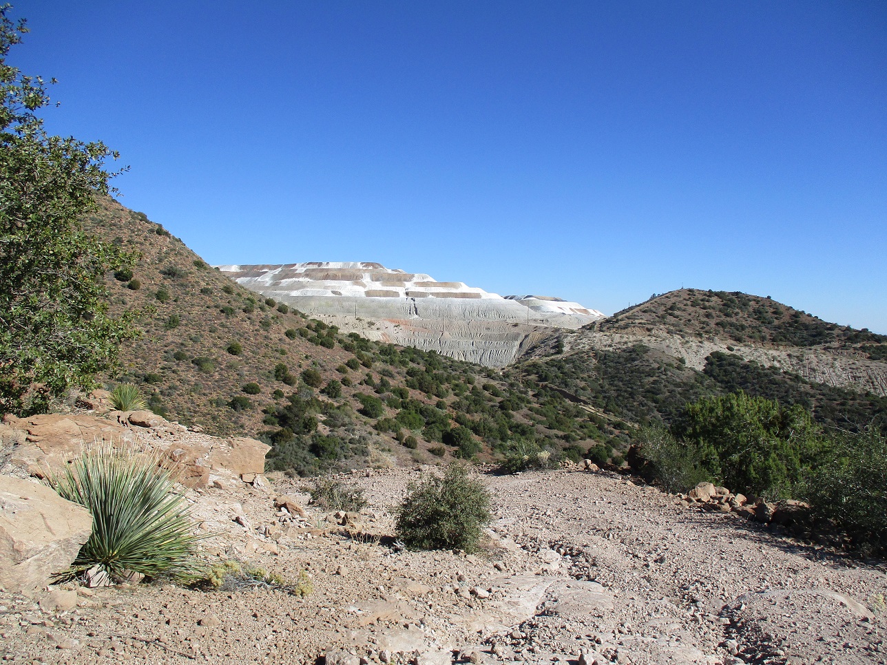
Webster Mountain is the highest peak in the Salt River Mountains north and west of Globe and Miami, north of the Pinal Mountains, and east of the Superstition Mountains. Although on Tonto National Forest land, it is nearly completely surrounded by massive mining operations, the area clearly being sacrificed for the need for copper and other precious and useful metals.
It appeared, based on limited knowledge, that the only viable route was to come in from the north, which would entail a very steep hike up slopes greater than a 50% gradient, which I wanted no part of. Then I caught a snippet of information from the HikeArizona site, where the writer mentions coming in from the south. It was light on the details, of course, but it suggested if I looked hard enough, I might be able to reverse-engineer what the writer did.
Last week, I was in the area scouting what I thought could be a route to the summit from the south. I had no plans to hike it that day, so once I was satisfied I could drive to the de-facto trailhead, I salvaged the rest of my time here with two smaller peaks in the immediate area.
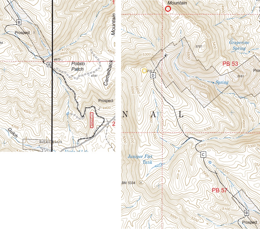
I was back today, partly driven by a chance for storms in the coming week. I wanted to hike it while conditions were good. I was up early and in the Miami area a little before 7 a.m.. Here's what I did: From US-60, I went north on Pinto Valley Road, then an immediate right onto Forest Road 287B. This road is paved but not maintained. It gains steeply for about three miles, then meets FR-608. I went right on this narrower road, a foot-thick pipe running alongside it. The road drops about 60 feet into Little Pinto Canyon, where the tread improves. I drove a mile or so to the Bohme Ranch, bypassed it, and drove up a small hill near a pasture and past a cattle grate. Here, there was another pipe alongside the road. I wanted FR-1125. There is a steep berm covering the pipe that allows vehicles onto this road. I only went in a hundred feet or so, parking in a small clearing and out of sight from the main road. It was now about 7:40 a.m., the day sunny and chilly for now, in the 40s.
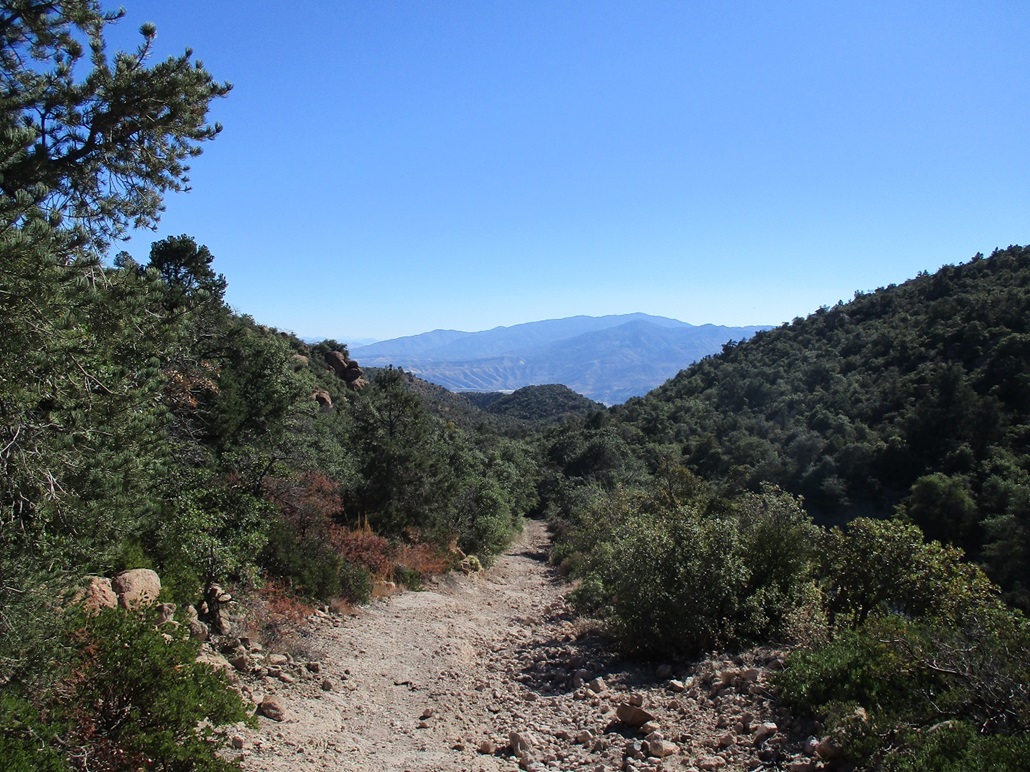
The route I had in mind would follow vehicle tracks for about 90% of the way. Only the last uphill to the top would be off trail. Along the way, I identified four saddles that I used as references for my progress. I started walking, following FR-1125. It curls around once, then makes a right and starts uphill, aiming up ahead for Saddle "A" (see map), elevation 4,865 feet. I had gained just over 600 feet in a little over a mile. The track then drops about 80 feet into the drainage, a windmill and tank down here too.
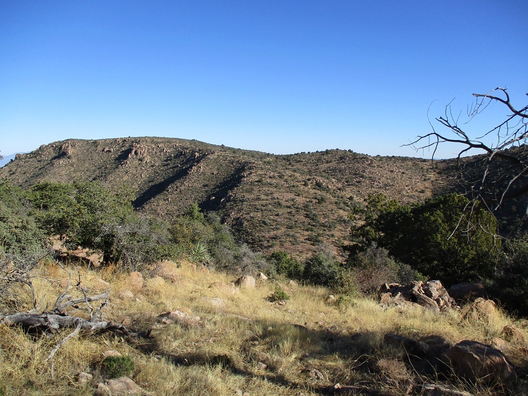
The next segment covered a little under a mile, achieving a ridge at "B", elevation 5,035 feet. This is near the "prospect" shown on the map. So far so good. I was moving quickly. The road was okay for walking, but torn up badly in other places.
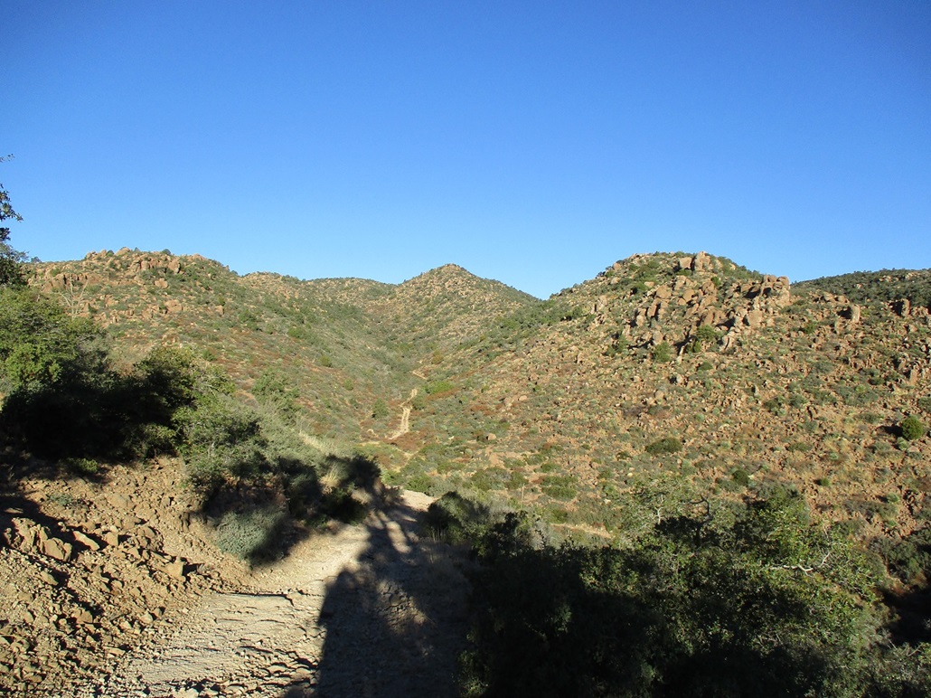
Next up was saddle "C". The track heads up a drainage, and at the only Y-junction I came upon, I went left, steeply uphill. I was soon at "C", elevation 5,135 feet. Unfortunately, I would lose about 250 feet into the drainage below. The road by now is in awful shape, massive boulders in the road, and hefty erosion channels.
In the drainage, I went left for a few hundred feet, then came upon the turn for the track. Up until now, the track had been wide and free of brush. For this last segment, it was narrower and much more overgrown, with catclaw among other things. I moved carefully through it and got about halfway up when I heard some rumbling. Up ahead was a vehicle! I could hear voices and all sorts of engine noise. So I found a small clearing and sat in it, and waited for whomever to come down. I could use the rest, and I'd just be in the way on the road itself.
In minutes, they came rolling down. They were in two Honda Razor vehicles. The road was doing a number on them, one vehicle literally was at a 45-degree lean at one point. The first guy stopped, no doubt surprised to see me. He was in camouflage. I told him I was darn impressed with their ability to drive this road. He laughed and ask me if I was having any luck. I am pretty sure he meant luck in terms of seeing deer to shoot. I said no, I was having no luck. Then the other two guys rumbled by, and I just waved, they waved back.
First, I truly was impressed they got anything up (and down) this track. The Razor (I am prettty sure that is what it was) seemed to be the right vehicle for this terrain: fully articulated wheels and axles, short wheelbase, and low center of gravity. I cannot image a "normal" vehicle getting up this road. Second, this is the second time in a month I've been confused for a hunter. It's just me and my poles, no camo, no gun slung around my shoulder. Just a guy out walking. It occurred to me that with those loud things they drive, they're not going to have much luck either.
After my rest, I continued up to the last saddle, "D", where I took another break and changed into my leggings in preparation for the off-trail segment. I walked down to the lowpoint (I guess this would be saddle "E") below the summit, losing about 200 feet. There is a dry stock tank here, and all semblance of any track ends here. It had been a sloppy track for the last mile, but overall, the tracks helped a lot, and I was able to get here, roughly 4 miles in, in pretty good time, about two hours.
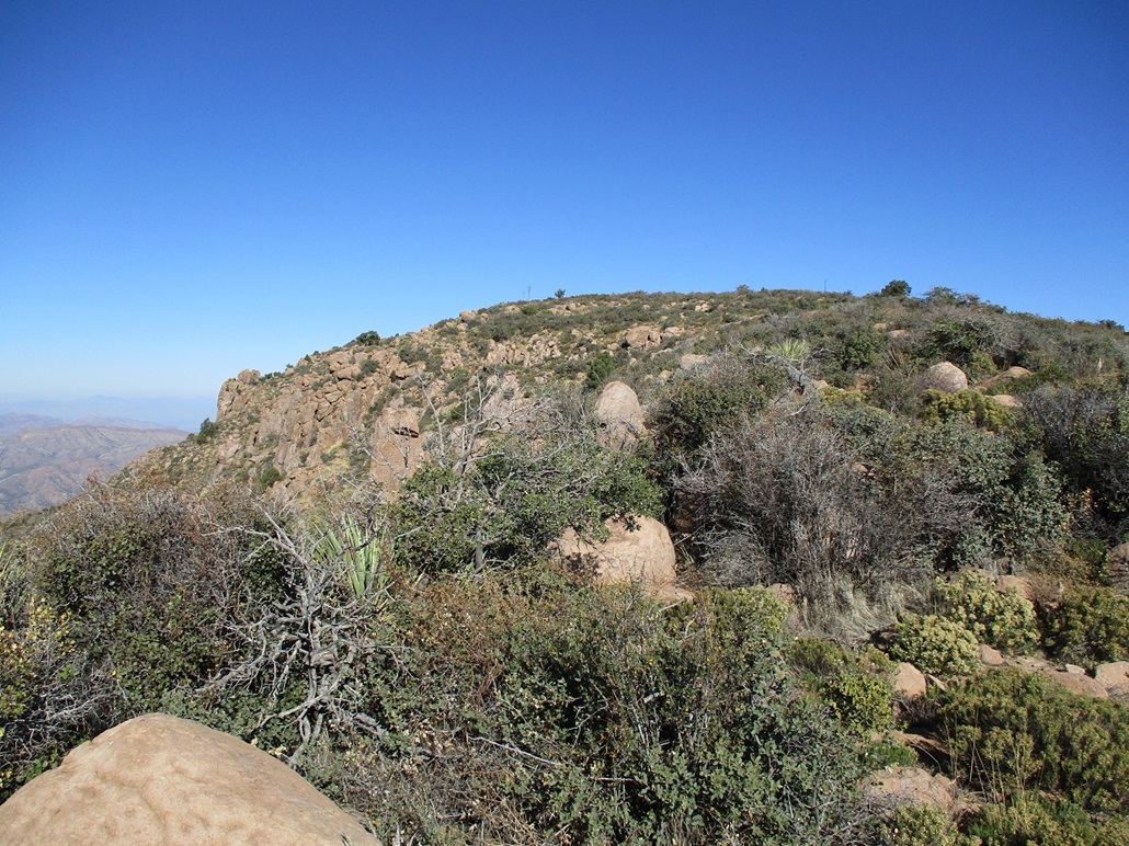
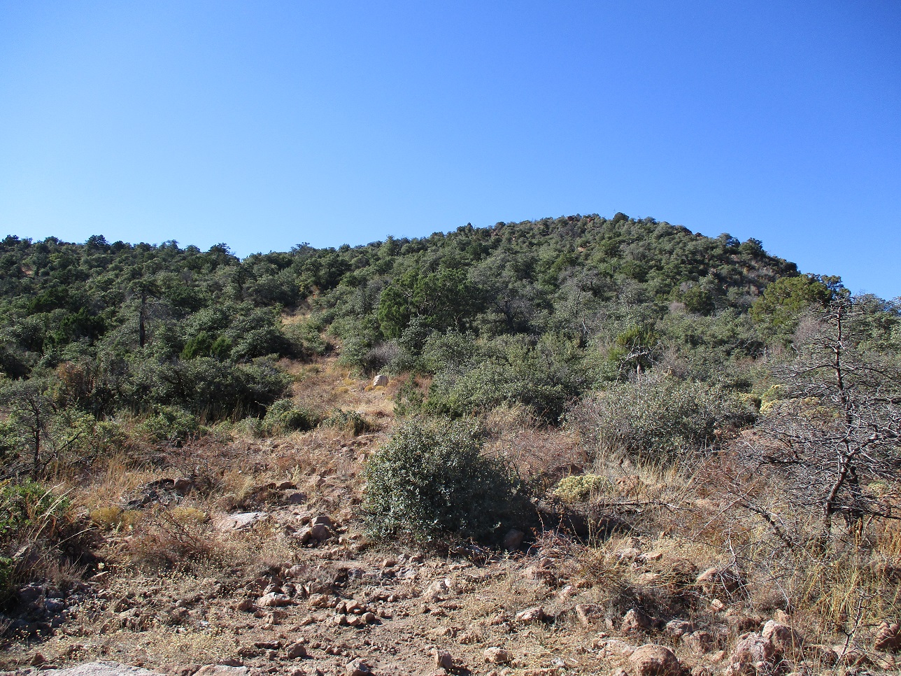
For the last uphill to the top, I picked a line and hiked upwards. Catclaw was a problem down low but not higher. It was brushy with rocks and some trees, but also open, and I always found a lane through, even if I had to look for one. This last segment gained a little under 300 feet, and I was on top, the time a little after 10 a.m.. The top is marked by a big boulder on which a small cairn sits. In the cairn was the register, but it was sopping wet, so I transcribed the two names on it (Andy Martin from 2016, Matthias Stender from 2021) onto a clean sheet I had. I even wrote in "Gluck Auf" for you, Matthias. I placed it in one of my empty bottles, and hope it stands up to the elements for the next visitors.
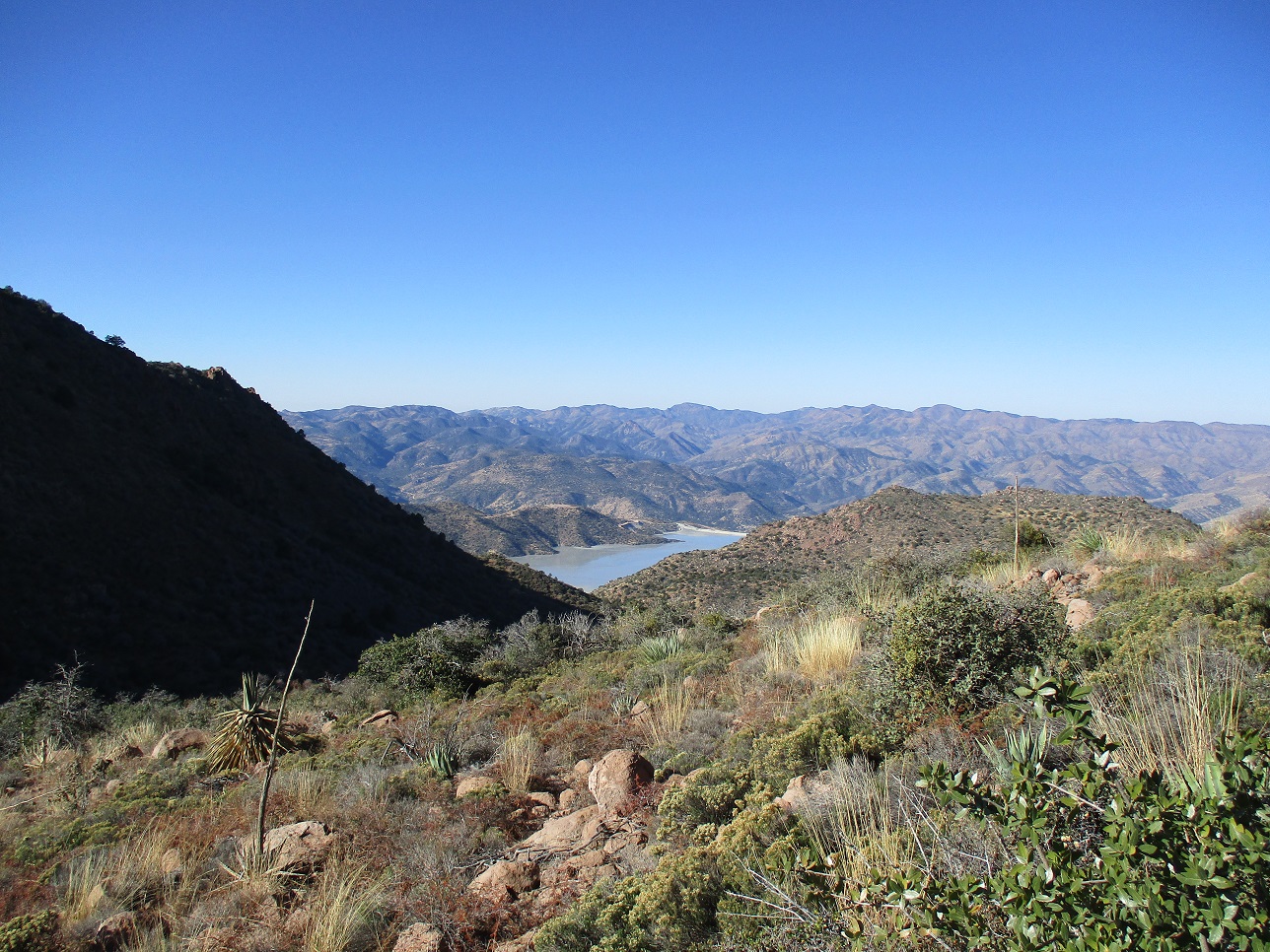
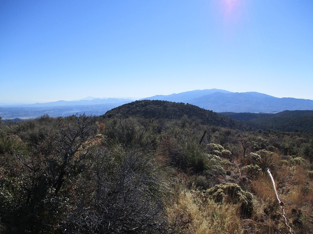
I spent about 15 minutes on top, snapping images and resting. The conditions were ideal and enjoyable. I could see distant peaks such as the Four Peaks, the Sierra Ancha, Pinal Peak, Mount Turnbull, Lake Roosevelt, and all the close-in hills and smaller peaks. I could also see down into the pit mines and tailing ponds of the mine operations. Even up here I could hear the occasional beep from down below.
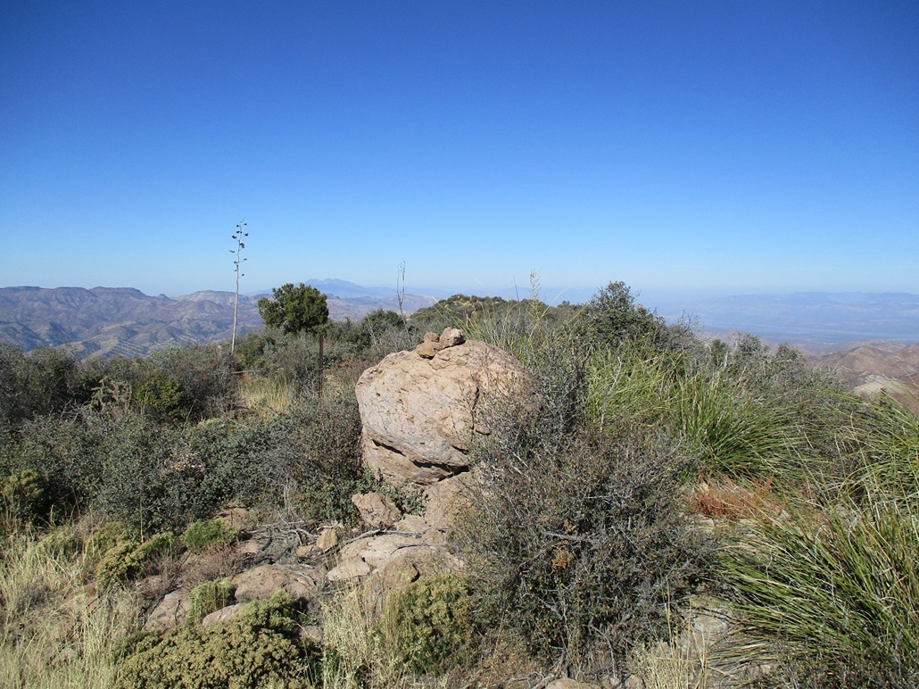
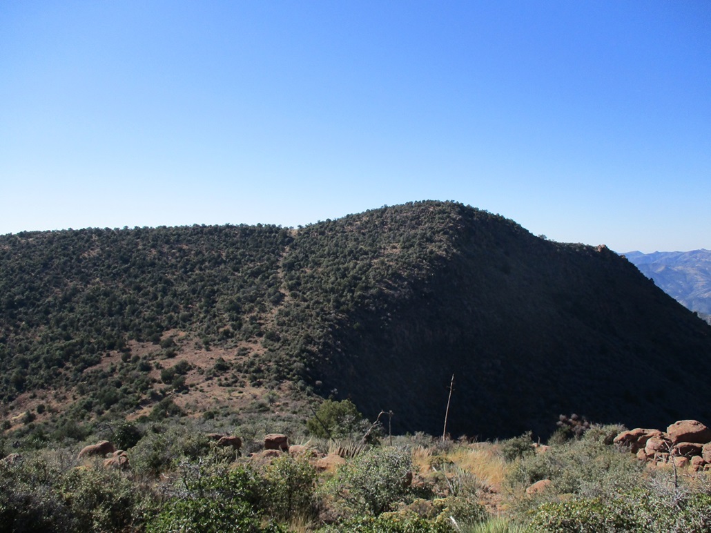
Hiking down went well, then that uphill back to saddle "D". Here, I rested, then went into the trees to tag the top of Peak 5732, which is a ranked peak with 332 feet of prominence. That took just ten minutes. The hike itself gained about a hundred feet, and to my surprise, there was a very large cairn there. The register was a wreck, but I could make out a couple names, people I knew, the usual suspects.
Back to "D", it was now just a matter of repeating the route southbound. The bit between "D" and "C" went slow because of the catclaw, and the 250-foot gain back up to "C". But at least when I was on top of "C", I knew I was done with the large regains, and no more catclaw either. I rested here and changed back into my shorts.
The rest of the hike went fast, and I made good time. I was back to my car at 1:22 p.m., which amused me because about an hour earlier, without a watch to tell time by, I guessed I'd be back at 1:25. Almost nailed it. Back at my car, I took time to change and relax. Those guys with the Razors were long gone, probably still not having any luck. Ironically, I saw two white-tails as I hiked out.
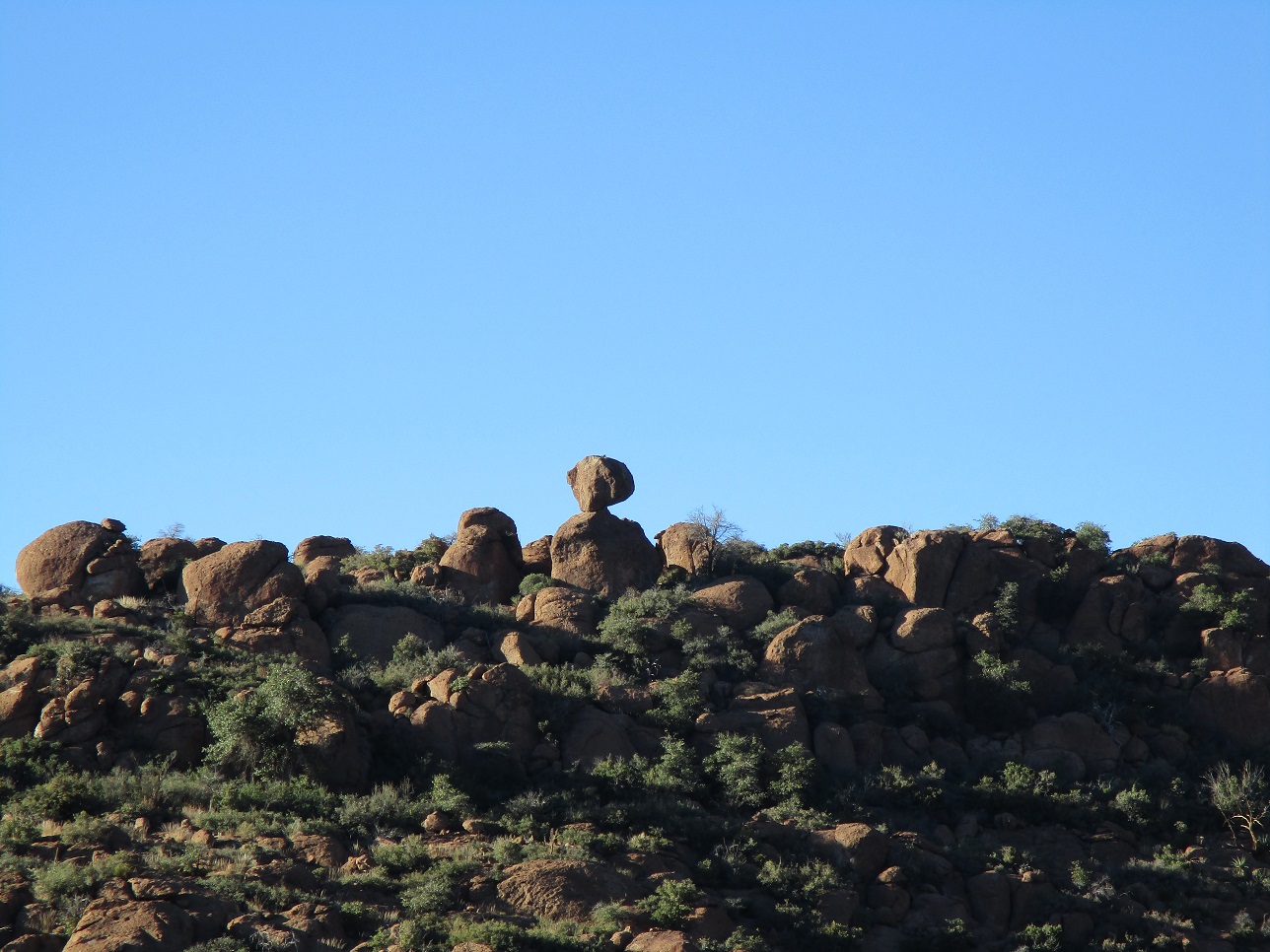
I was tickled this route worked, because I wasn't enthusiastic about the northern route with the super-steep slope. From a distance, this looks like a ratty peak, but up close, it is a very pretty peak, with many rock formations the entire way, with rocks barely balancing, and other rocks heaped to form voids in them. It turned out to be a fun hike, one that went logisticlly well.
|


|