The Mountains of Arizona
• www.surgent.net
|
| Valentine Hill |
• Mogollon Rim Foothills • Tonto National Forest • Gila County |
|
Date: September 15, 2020
• Elevation: 7,182 feet
• Prominence: 322 feet
• Distance: 1.4 miles
• Time: 1 hour
• Gain: 395 feet
• Conditions: Sunny and pleasant
Arizona
•
Main
•
PB
•
LoJ
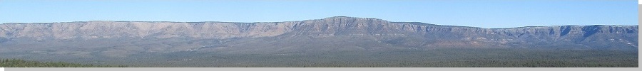
This hill is just below the Mogollon Rim, east of the Young Road, the road that connects Young from the south to the Rim and highway AZ-260 to the north. There are a series of ridges here, collectively (as far as I can tell) called the Valentine Ridge(s). The ridge highpoint is ill-defined and would be closer to the plateau rim. For this page, I call this hilltop Valentine Hill.
I was more curious about the roads here and needed an excuse to come here. We drove the Young Road back in 2006, but I remember little of it. I wanted to explore some of the side roads too for future journeys. I left home about 6:30 a.m. and drove AZ-260 up to the Plateau, then a couple miles later, took Young Road south for three miles, to the Colcord Campground. The road was paved to here. On the Sirius was King Crimson's "21st Century Schizoid Man" which I played at volume 11.
I turned left onto Tonto FR-33. This road bypasses Colcord Campground and drops about 500 feet in a couple miles until it is below the Rim and within the canyons and creeks that abut the Rim. The road was good, with no steep sections and no heavy ruts. A passenger vehicle could manage it, if driven carefully. There were a few sections of scattered small rocks. Three miles later, I was at the FR-33/34 junction. I went south another mile on FR-34, parking in a cleared area below the hill. It was 7:25 a.m., sunny but pleasant, and vacant. I had not seen another vehicle down here.
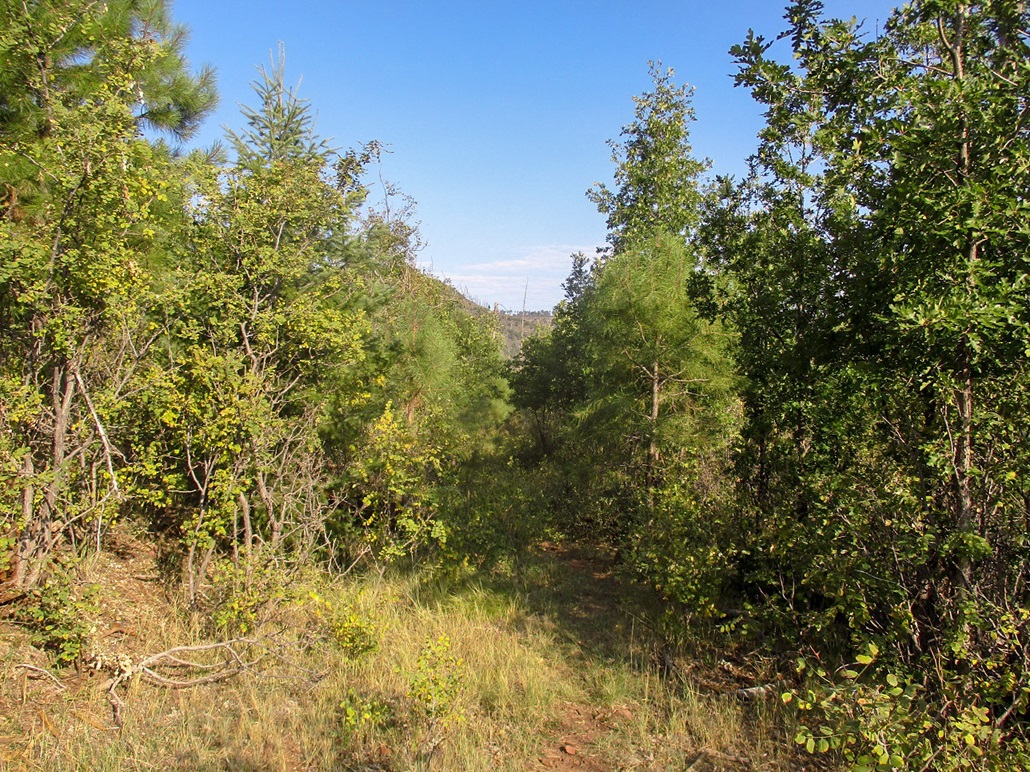
The map shows old Jeep tracks encircling the highpoint hill, but what's there now is way overgrown and no longer driveable. There is an opening in the fence along the main road that leads up one such track, so I followed it. I gained about 100 feet then topped out on a small saddle. The road continues past a wire-stick gate along a fence. I breached the fence by stepping over the barb-wire which was bunched up near the ground.
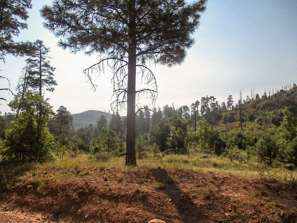
The road degraded into an overgrown track with brush, grass and logs lying across it, and the trees growing over it so as to create a canopy and tunnels in spots. I am positive an actual vehicle has not been on this road in decades. I walked the road another quarter-mile or so, until I was more in the open and roughly east of the highpoint. The forest here is a lot of dead standing trees from an old fire (possibly the Rodeo-Chediski Fire of 2002), and a lot of "teenage" trees that grow thick together, but with lanes in places too.
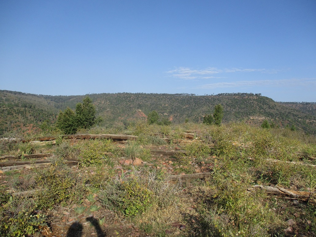
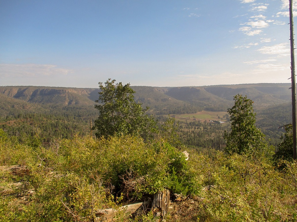
I found a path, probably a hunter's path, that led uphill. I followed it. It was distinct in places, weak in others, with downed trees lying atop it, obscuring it. The going was steep but short, about a 200-foot gain. Once on top, the trees ended and I had pretty good views from the meager summit. Looking north and east I had lovely views of the Mogollon Rim. South were more hills and a low band of haze from the California fires.
I did not spend long. The uphill hike was short and strenuous and I got a workout. I descended down the same weak path back to the jeep tracks, then out to my car. I had been gone exactly an hour. I milled around the area a little bit, walking out one road to see where it went. I changed into dry clothes and drove home, back to Payson a little before 10 a.m..
Like most hills in the area, this is not anything special, but the area itself is pretty with places to camp and explore. I enjoyed the short morning effort.
|

|