The Mountains of Arizona
www.surgent.net |
|
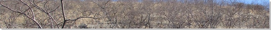
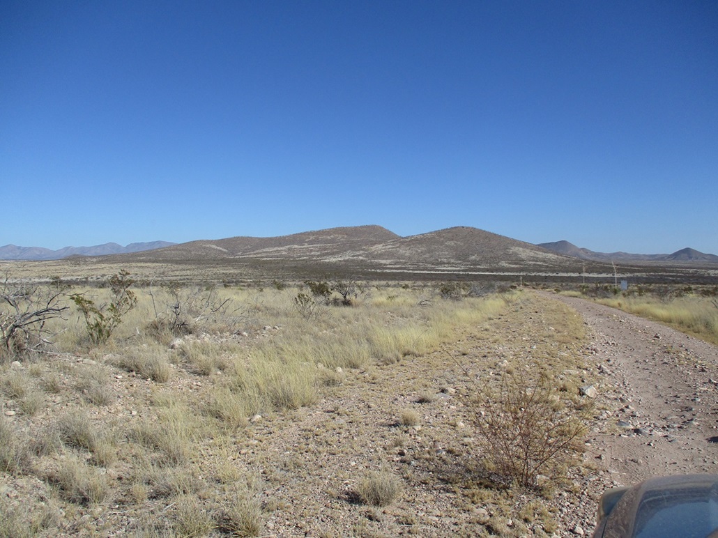
Tombstone Hills Highpoint • Peak 5145 • Peak 5265 The Tombstone Hills lie generally south of the city of Tombstone. They are capped by limestone, which creates interesting striating patterns. It was in these hills that silver was discovered, begetting the mining boom and the birth of Tombstone and nearby Bisbee around 1879. These days, the hills are quiet, but there is some small-scale mining still going on. There are countless mine shafts and adits in these hills, and a few people have built humble homesteads back here. This was my first time exploring the Tombstone Hills. I set a goal to hike the highpoint, which has no name so it just goes by Tombstone Hills Highpoint, and nearby Ajax Hill. But I had no real sense what access was like. The land-use maps show a mix of public (BLM), State Trust and private land. The online mappers show a few developed roads but the satellite images show a warren of roads, much more than shown on the mappers. There's also the question of "how private is private?". Some private land is unposted and unfenced and usually owned "at large" by some corporation. Other private land is clearly someone's homestead, and usually fenced and posted. I had some back-up plans in case my main plan fell through. I wanted to use this as a chance to scout back in here and learn the roads and get a sense of the place.
Date: December 21, 2023
• Elevation: 5,355 feet
• Prominence: 552 feet
• Distance: 2.2 miles
• Time: 1 hour
• Gain: 605 feet
• Conditions: Blue skies, clear
Arizona
•
Main
•
PB
•
LoJ
•
Interactive map
I left Bisbee around 8 a.m. and was in Tombstone about 40 minutes later. I knew where to leave the main highway to get into the hills. The road I wanted was South Landin Park Way, which is the last main exit along highway AZ-80 heading south out of Tombstone. It's not marked by a street sign though. There's a big "Animal Shelter" sign nearby.
I went in on Landin Park Way and then took a left onto Old Bisbee Highway, which is also not signed. Then, moments later, I took a right onto Emerald Canyon, which is signed. I was going strictly by the online street mapper and educated guessing.
This road trends southwest and is graded but a little rough in spots. In less than a mile, it comes to a split. The left split had a "Land for Sale" sign nearby and a small "Lot 3" sign beside it. The right split had a "Lot 2" sign. My initial plan was to follow the Lot 2 split, which should take me near the saddle between Ajax Hill and the Tombstone Hills Highpoint.
I followed this road a little under a mile. It was slightly rough, too. My Subaru did fine on it, but lower-slung passenger vehicles might have trouble with rocks in the road. I drove until I came to a locked gate and a "no trespassing" sign on it. Okay, I guess I am not proceeding any farther on this road.
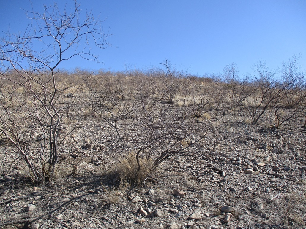
I doubled back and parked in a clearing and decided to gamble, thinking that the private property that gate belongs to may only stretch so far. Ajax Hill was less than a mile from me. I got my boots on and a pack assembled and started the hike. I immediately had to breach a barbed-wire fence, squeezing through two loose strands, right smack into heavy brush, a lot of it thorny. I pushed through and came to another fence. I hadn't hiked more than 200 feet from my car and was already losing the spirit with the fencing and the brush. So I turned back, and figured I'd need to do some more homework on this one.
I returned to that Y-split and then followed the Lot 3 branch, which trended mostly south and would approach the Tombstone Hills Highpoint from the opposite side. The maps showed roads and tracks that get close. Would I hit more private property?
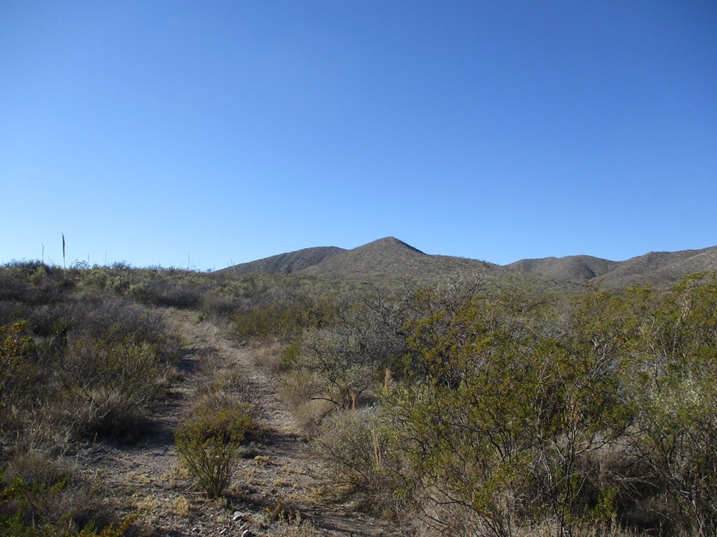
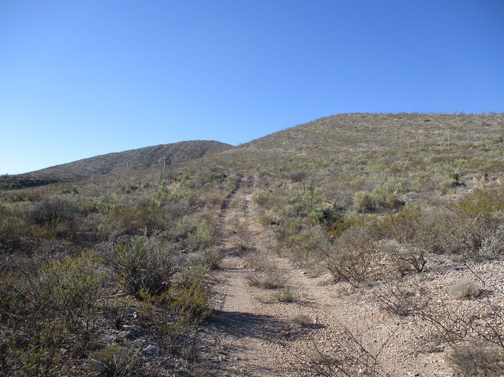
The road was actually pretty good, much better than the Lot 2 road. I drove about a mile to where the road topped out at an apex with some piles of dirt and rock. The good road squeezes through two such piles and aims for a scraggly-looking residence (?) of some sort, and one small "no trespassing" sign tucked into the rocks. I backed out and parked in the area. I knew where I was should be okay, being State Trust land. I put my placard in the window, locked everything and started walking.
The map and satellite images showed a weak track that branches off the main road, and I found it. It was heavily overgrown in brush, some of it 5 feet tall, and likely not driven on in years. I walked down this path, losing about 40 feet, into a drainage, but then it bent right (south) and started to gain slowly toward the peak, which was visible ahead as a rounded ridge behind a foreground bump.
The track became less brushy and easier to walk. I was able to bypass that private property parcel. I did not see any fences or posted notices along the track I was on. I walked along the track until it reached its highest point on the northeast flank of the peak.
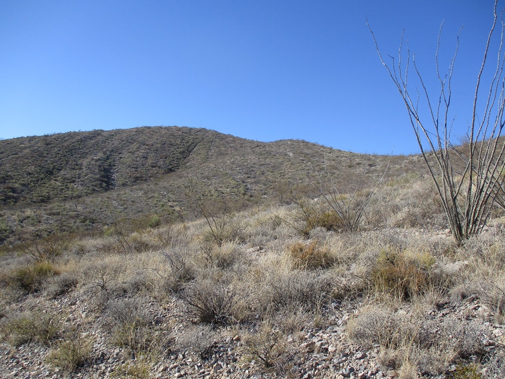
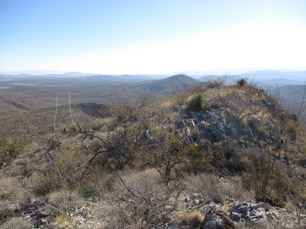
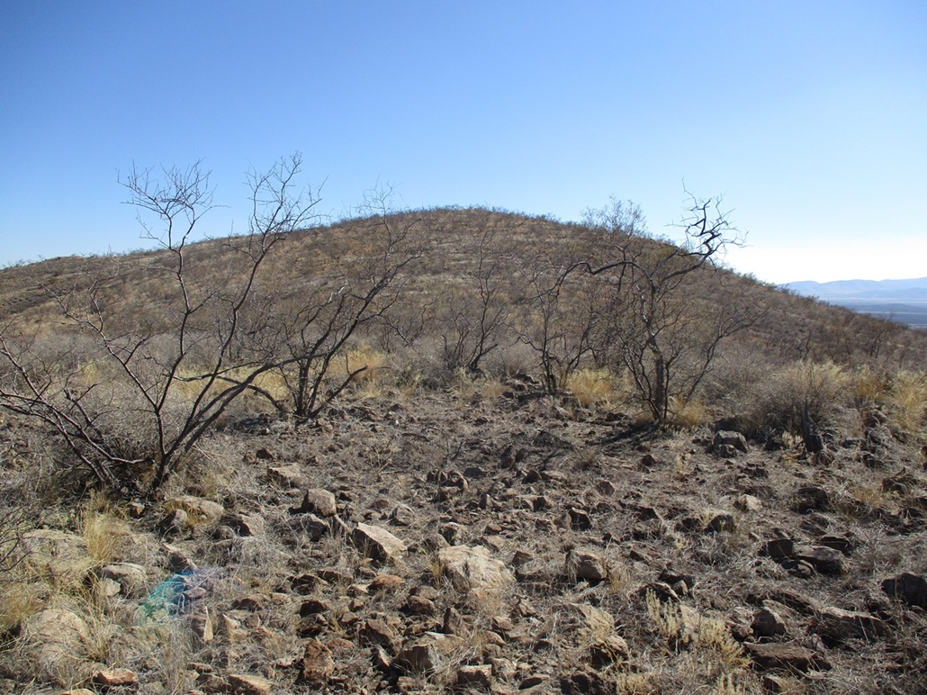
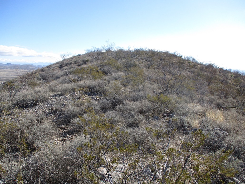
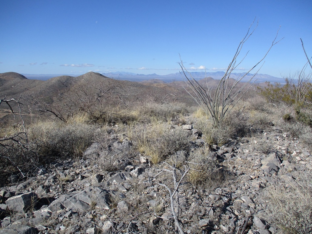
Here, I left the track and started up slope through moderate brush, featuring a lot of ocotillo. I was able to avoid the heaviest brush. The limestone forms little two-foot cliffs which are easy to step over, and in places where it was mainly bare rock, it provided excellent footing. I made good time.
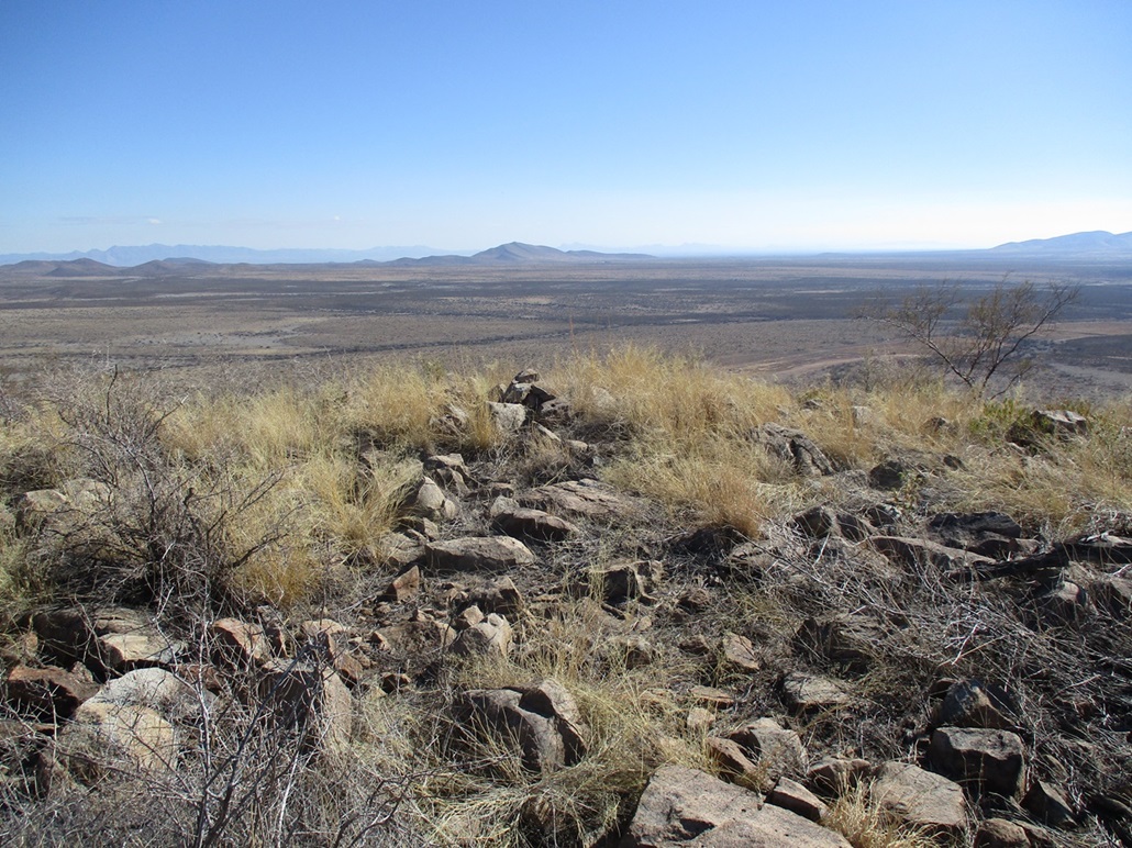
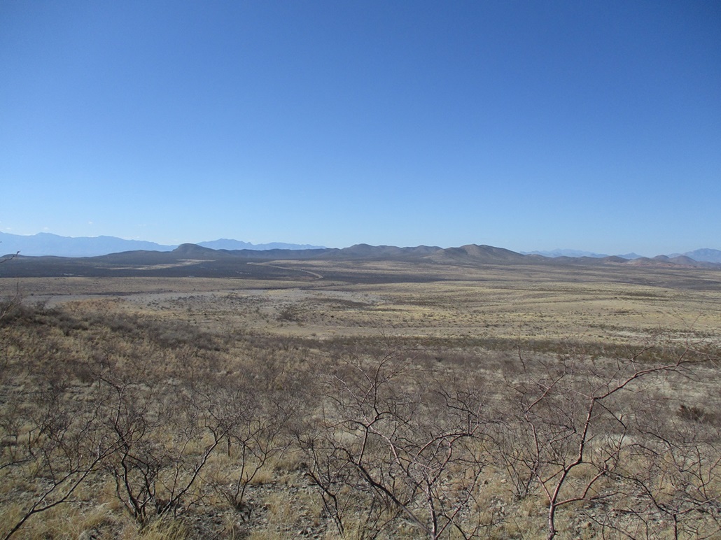
I sidehilled past the lower bump toward the saddle below the summit. The slope was lenient all the way up, and I was pleased to discover that it fed me right to the actual highpoint. The new 1-meter Lidar data reports a summit elevation of 5,355 feet, and a number of bumps along an adjoining ridge between 5,325-5,350 feet. From a distance, this peak does not stand out compared to its neighbors, but when on it, it is clear it is the highest.
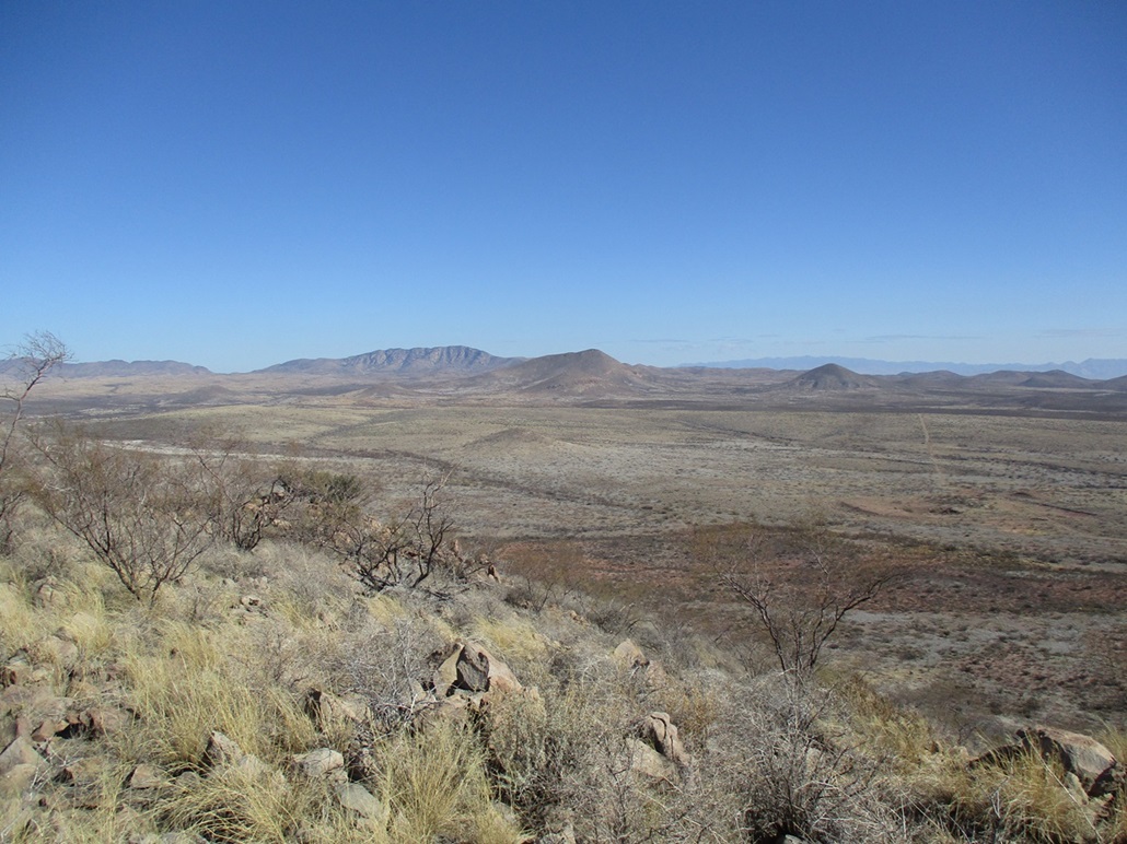
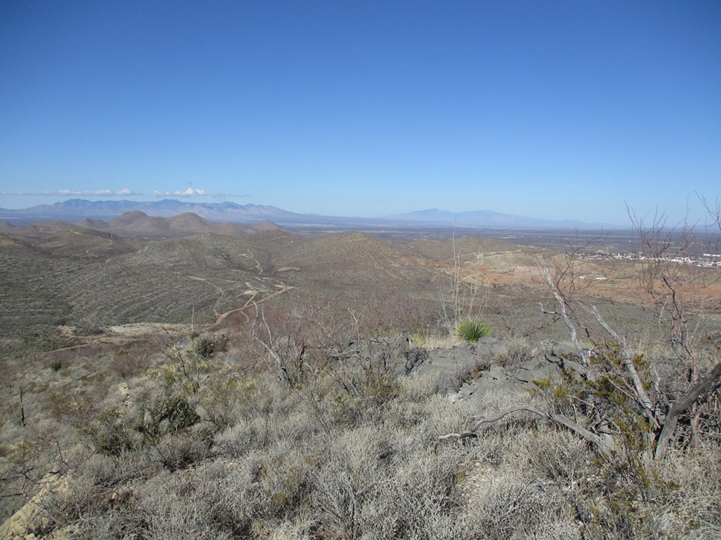
The top is small and has a rock cairn. I found a register, last signed by Bob Packard in 2021. Names went back to the 1990s, being the usual names I see. I signed in and wished everyone a happy solstice. I took a few minutes to rest and have a snack, plus look around and shoot some photos. The day was clear but a little humid. There was a misty "inversion" layer in the lower valleys, and not a cloud in the sky except for one lonely fellow over by the Huachucas.
I was pleased to tag this peak, a little bummed that my first effort got nixed. It turned out to be a very easy hike with generally good footing and no impediments. I followed the same route down and was back to my car, gone almost exactly an hour. While Ajax Hill was a bust (for now), I was satisfied to get the biggest fish, the highpoint itself, as well as get a much better sense of what to expect back in these hills.
It was not yet 11 a.m. and I had barely broken a sweat. I looked around for another quickie peak to tag, and zeroed in on a nameless hilltop a few miles to the east. I knew from past study that it lied on a ranch but was mostly State Trust land, so I headed that way, which wasn't far at all, less than ten miles total.
Elevation: 5,145 feet
• Prominence: 325 feet
• Distance: 1.3 miles
• Time: 45 minutes
• Gain: 360 feet
• Conditions: Same
PB
•
LoJ
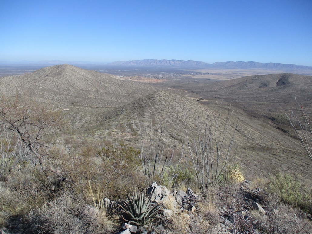
A couple miles south of Tombstone is Davis Road, which is a connector road to US-191 about 25 miles distant. I went in 2.2 miles, to South Cowan Ranch Road on the left (north). My second peak, Peak 5145, rose to the north about a mile away, a broad hill with a couple of lower foothills.
I had already done what homework I could and knew the road and the peak lie on State Trust land, so I should be okay for access. The road was gated, but it had the familiar State Trust signs about requiring a permit. So I got out to open the gate, and discovered it was tensioned so that it closes itself.
This presented an interesting problem. I tried pushing the gate as far back as it would go, maybe it would catch on itself. I looked for a big rock to chock it open, but had no luck. I found a stick about three feet long that I propped against the gate and the other end in the ground and ... it held! So I hustled back into my car and quickly passed through before it gave away. I did not want a big metal gate to wham into my car. I reclosed the gate and stashed the helpful stick nearby for when I needed to leave.
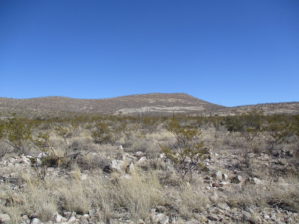
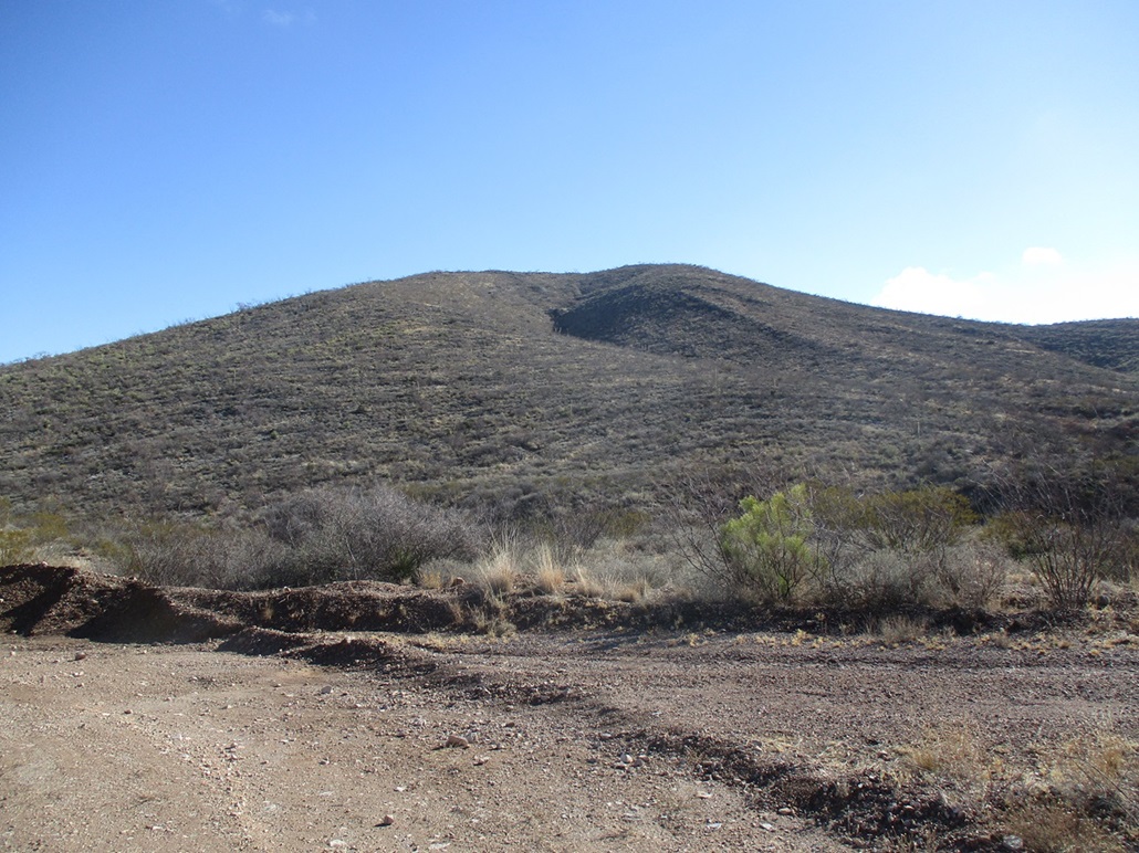
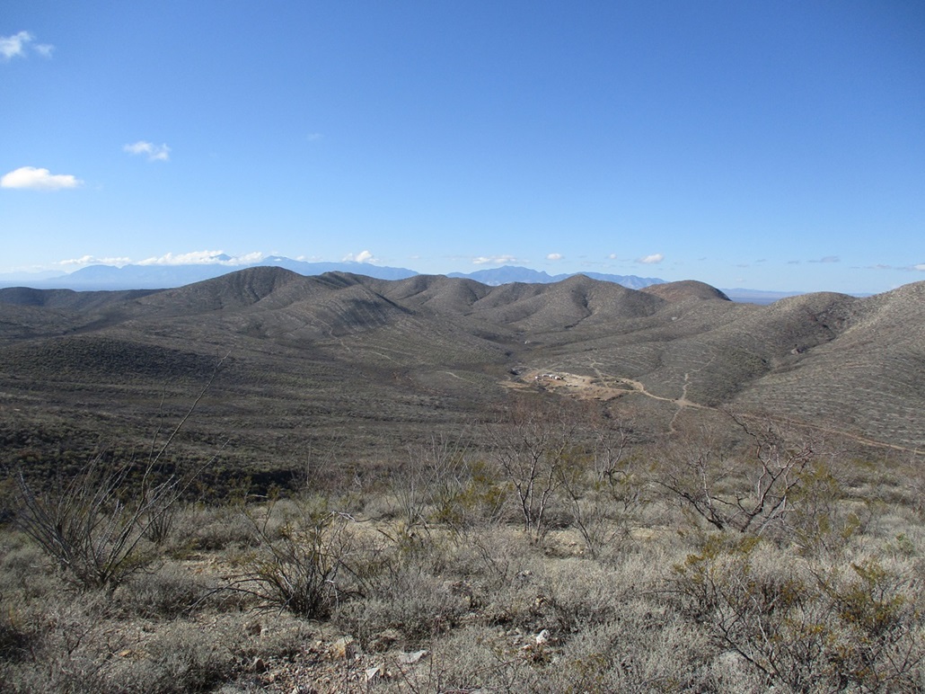
I followed the road about a mile and a half, dropping into Government Draw, then up the other side. The road was rocky in spots with a couple of tricky erosion ruts. I had to baby the Forester through these parts. Otherwise, it was a decent road. I would not recommend a low-slung passenger vehicle, though. I drove until I was at the road's apex, slightly north of west of the summit. This placed me at the foot of the long approach slope to the top.
I started walking, and had to cross a barbed-wire fence early on. Fortunately, one section was loose so I could push the strands down and step over. The slope was very gentle, and I made good time. Higher up, I had to hike through a forest of man-high brush and trees (mesquite or creosote or something, I am not sure). This put me on the top ridge.
I then angled right, up one slope, across a flat segment, then up the final slope to the top. The hike went quick, covering just 0.6 mile in about 20 minutes. I found a cairn at the top but no register and suspect this peak sees very few visitors. Listsofjohn only showed three before me. It's an easy peak but nothing special.
I didn't linger. I shot a couple photos then started the walk down. The rock here is different, it's not the limestone bands over on Tombstone Highpoint, but the more common granitic rubble. Every second step I was rolling to one side or the other.
The round trip took just 45 minutes. This had been a very easy peak and I was glad to visit it, a fine second peak for the day. It was a nice consolation after being shut out on Ajax.
On the way out, I inspected a couple of roads and gates along the highway for future hikes. As I suspected, these gates are not locked and not posted. Thus, I felt good knowing I have some viable ideas for future peak hikes in these lovely hills.
Date: January 2, 2024
• Elevation: 5,265 feet ✳
• Prominence: 310 feet ✳
• Distance: 1.4 miles
• Time: 40 minutes
• Gain: 515 feet
• Conditions: Some clouds, cool, breezy
PB
•
LoJ
•
Lidar
I returned to the Tombstone Hills to hike this humble peak, and also to do a little road driving and scouting for other peaks in the area.
I left Bisbee around 10 a.m. and arrived in Tombstone about 20 minutes later. I knew the roads now and had no trouble situating myself near the peak. I parked along the same road as I did for the Tombstone Hills Highpoint.
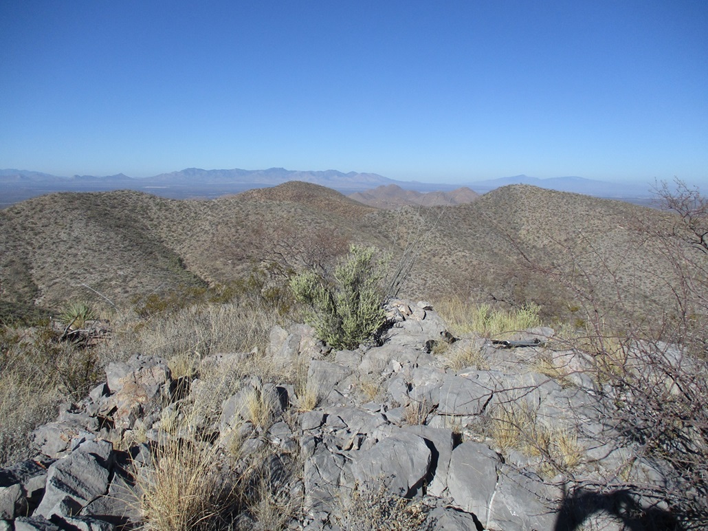
I started hiking at 10:30, walking down into the drainage and its thick scrub, then up the other side and onto the slopes, where the brush let up just a little. It was the usual: ocotillo, creosote, grass and various thorny brush. But it was spread out enough that I found lanes about 80% of the time.
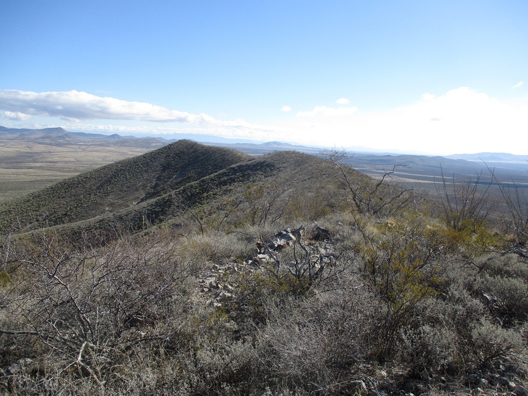
I walked up a long sloping ridge over fractured limestone, which was either rubbly and rolly, or solid with excellent footing. This ridge fed me right to the top, no surprises at all.
The summit wasn't anything special, but I was glad to be here, my first peak of 2024. There is a cairn here and I found a register in it. Andy Martin was here a year ago. The register's lid was busted and the contents water damaged. The original papers were from Bob Martin from probably about 1990, but I could not read them. They were crumbly and moldy. I know Bob's papers: he tended to use pages with typing on one side, from some running/marathon club he also belonged to. I met and hiked with Bob a handful of times between 2001 and 2005. He passed in 2008. A super kind and interesting man, and I always get a good feeling seeing his "style" in these old registers. In any case, the register needs to be replaced, papers and container, for the next person going up there.
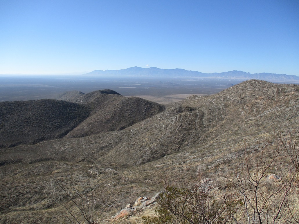
Views were nice. We had some rain last night so today were the lingering clouds with mostly blue skies, temperature about 50°. I did not stick around too long. Going down, I followed a parallel ridge all the way down, then fought the thorny crap in the drainage briefly before getting out of the tangle and back to my car. Total time: 40 minutes.
This peak was what I expected it to be: fast, easy, nothing memorable. However, it would be natural to pair this with the Tombstone Hills Highpoint for anyone looking for something to do. Recent 1-meter Lidar data shows the peak to have 310 feet of prominence, whereas before it had been a soft-ranked peak.
Now to do some 'sploring. I was interested in some hills that lie south of Davis Road, east of highway AZ-80, which would be the northern foothills of the Mule Mountains. The online mappers show roads of various quality, and mostly a mix of State Trust and private land. Sometimes, the Trust lands offer access deep into the hills if I get lucky and find a road with their signs on it.
Alas, I had no luck. The couple of roads that the maps and satellite images showed as being "developed" that would get me close to the peaks were closed to vehicles, locked and gated. If I were to walk from the highway, it would be about two miles to the nearest peaks, and the signs did not specifically say "no trespassing". They just said no vehicular access. But I was not interested in a walk and leaving my car by the highway. I need to do more research.
I also checked out another road closer to Bisbee that approaches these same peaks from the west, and actually got some encouraging information. While most of the land here is private (small quarter-section "ranchettes"), the road was open, not posted against travel, and passed through one portion of State Trust land with its signs about "No trespassing permit required". Cool. This is something I may explore in the not-too-distant future.
These drives help me gather a sense of how the private and State Trust lands play together. I do not want to knowingly trespass, and often, the State Trust lands are surrounded by private lands which effectively bar access. I study the land-ownership sites carefully and always try to have details on exactly what's private and what's State Trust. I also like to see how people react when they see me. Most just give me the hand-on-a-steering-wheel wave, which is encouraging. Anyway, even though I got just one measly peak, I returned home happy to have some good information for future adventures.
|


|