
The Mountains of Arizona
• www.surgent.net
|
| Sunrise Peak |
• McDowell Mountains Preserve • City of Scottsdale • Maricopa County |
|
Dates: January 16, 2012 (Via Linda trailhead), November 16, 2013 (Lost Dog trailhead), March 1, 2019 (Adero Trailhead), & about 4 other ascents
• Elevation: 3,063 feet
• Prominence: 270 feet
• Distance: 3.8 miles Via Linda TH, 5.8 miles Lost Dog TH, 7 miles Adero TH
• Time: Between 2 and 3 hours
• Gain: 1,140 feet (Via Linda TH), 1,300 feet (Lost Dog TH). 800 feet (Adero TH)
• Conditions: Cold and cloudy in 2012, clear other times, heavy valley fog in 2015, sunny and warm in 2019
• Teammates: Marv Bittinger in 2012 & 2019, just me otherwise but there're always a few dozen people on the trail
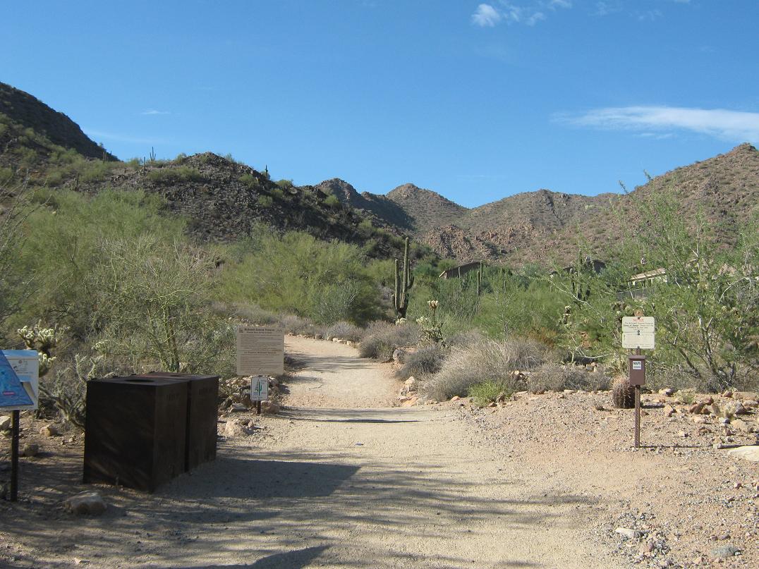
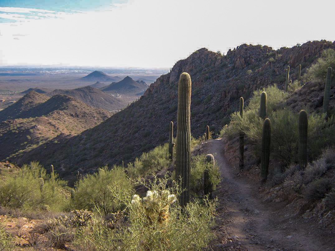
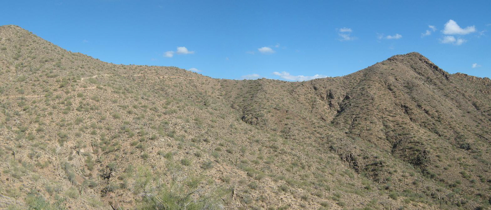
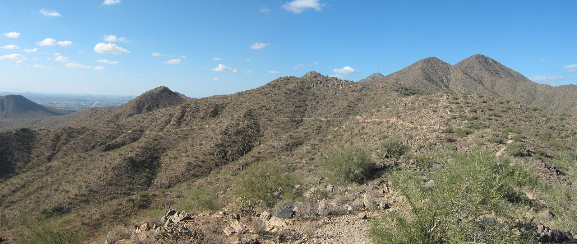
Sunrise Mountain is a popular hiking destination in the McDowell Mountains Preserve of Scottsdale. It is so well-known that I only learned about it just a couple days before hiking it. It was suggested to me by Marvin Bittinger, the lead author on the calculus textbook on which I am co-author. Marv has really taken to the McDowells and has done far more hiking in the hills than I have. It's not listed by any names on the official maps, and shows as a mere hill on the topographical map, on the ridge south of the main set of peaks. However, one of the through-trails cuts beside Sunrise Peak, and from the east-side, it's an 1,100-foot hike up a fantastic trail amid stunning desert scenery.
First visit, January 2012: I met Marv at the Sunrise Trailhead, located at the end of Via Linda Road in Scottsdale, more toward the east part of the range near Fountain Hills. There are lots of nice homes up here, and the trail seems to be popular with locals. When I arrived, the parking lot was half-full, and the skies were cloudy, a small storm having moved through the previous day. The summit was still hidden in the clouds.
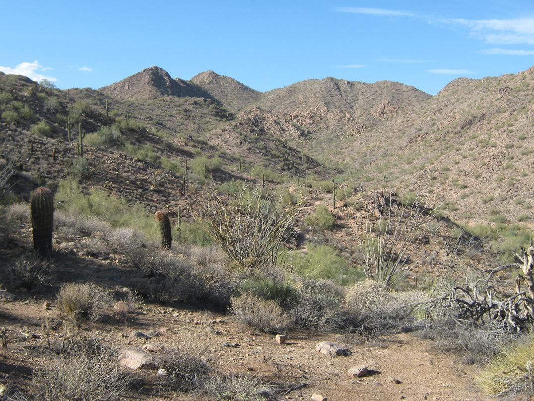
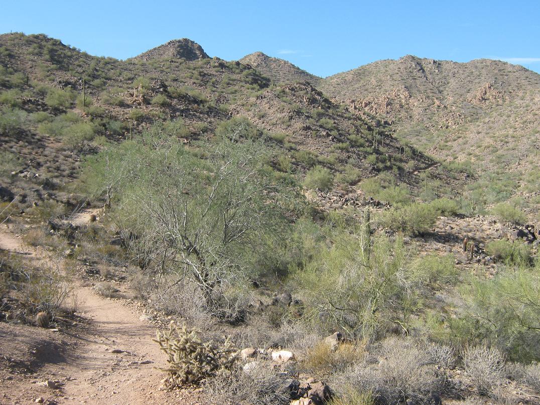
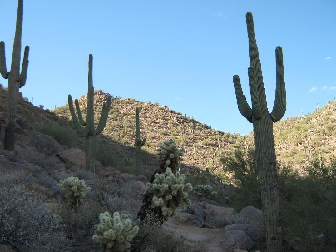
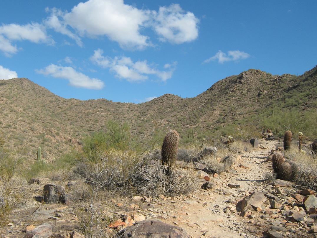
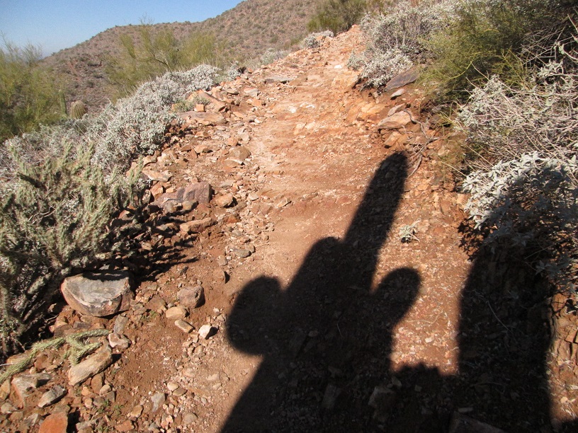
Marv and I moved at a slow but enjoyable pace, talking about all sorts of topics including our upcoming book, and of course, baseball. We stopped to let the runners past, and although there were lots of people on the trail, it never felt crowded. The trail itself is a smooth footpath with few rocky intrusions, pitched at very gentle grades. Large saguaro dot the hillsides and some stand right along the path.
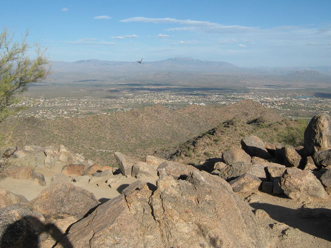
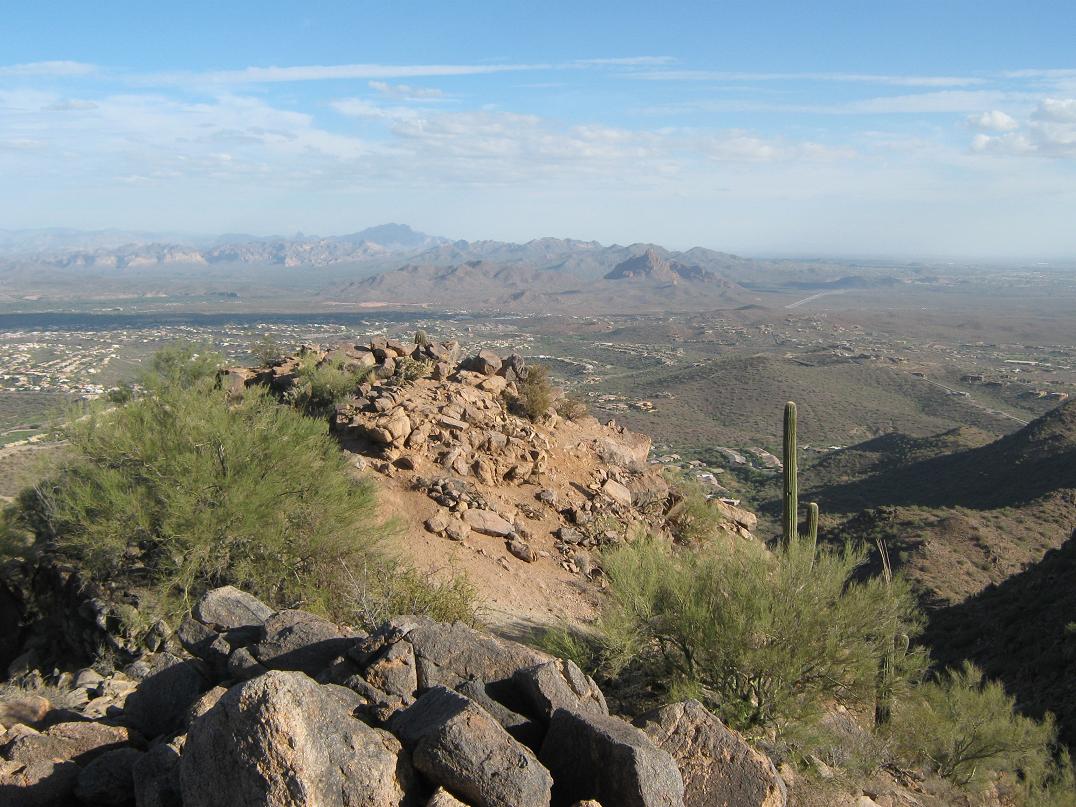
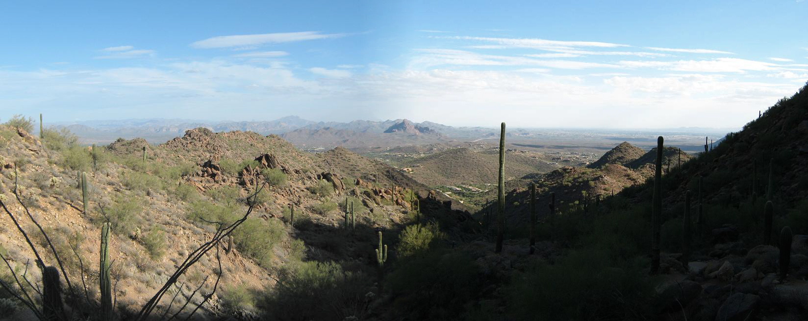
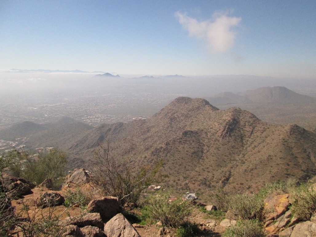
In time we had gained high onto the mountain, following long switchbacks and coming to a pass north of the peak. We followed a slightly-rougher spur trail up another 200 feet to gain the top, a rocky summit with plenty of good "sitting rocks". The clouds had started to drift away and the sun came out, giving us good lighting and fantastic views in every direction.
We didn't spend long at the top, and we moved downward at a good pace. Marv had some business to attend to, so we parted ways at the trailhead. The hike took us about 3 hours, although a runner could probably do the round trip in about an hour. The signs put the one-way mileage to just under two, with about 1,140 feet of gain. Because the trail is so well-maintained and consistently pitched, there are few steep sections and we never felt like we were lugging directly uphill. It certainly did not feel like 1,100 feet of gain, but it surely was.
Second visit, October 2012: I came back to re-hike the peak and get better photographs, plus actually hike in the mid-day, not something one can normally do in these parts. Today was the first day in many months where the mid-day conditions were not hot, or really hot. It was warm (mid 80s), breezy with blue skies and sun. I arrived to the parking lot about 2:30 p.m. and started up the trail immediately after arriving.
I followed the same route as before. I arrived to the Scenic View saddle (1.2 miles, says the sign) in about 45 minutes, then hiked on up to the top, the total hike taking me about 1 hour, 10 minutes. The trail wasn't that crowded, but there were people every few minutes coming down.
With the lovely weather conditions, I took some nice photographs of the surrounding terrain and enjoyed the expansive views. I stayed on top about 10 minutes. When some other guys started to come to the top, I decided it was time for me to start down.
The downhike took about 45 minutes. Apparently other people had the same idea as me, as more people were starting up the trail now. But at no time did it ever feel crowded. The total round trip took me about two hours even, and I got a good workout.
This is a lovely hike and a worthy peak. I'll probably put this peak into my rotation, something to hike when Camelback or Piestewa get boring.
Lost Dog Trailhead, November 2013: I hiked to Sunrise Peak today via the Lost Dog Trailhead, located at the north terminus of 124th Street, north of Via Linda Drive near the High School. The trailhead is super-modern with a lot of parking and new buildings. It is very nice. The day was warm but very pleasant, with mid-level clouds drifting by, remnants of a weak front that moved through the last couple of days.
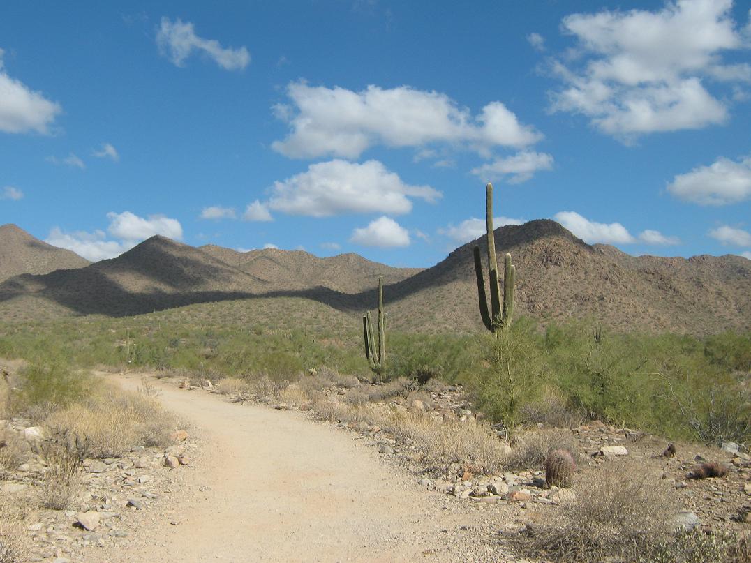
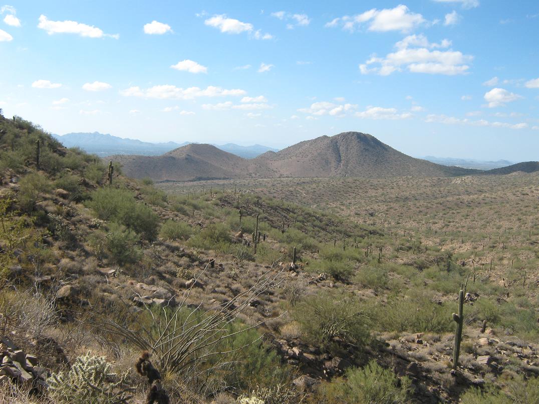
I had hiked these trails on previous visits, so I had some idea of what to expect. I started the hike about 1 p.m., walking along the Sunrise Trail as it gained steadily, aiming for a saddle, roughly two miles distant and about 800 feet higher. The trail is excellent and pitched very leniently, so I made good time. There were a fair number of hikers, ranging from families with kids, people with dogs, and the superfit types. Once at the saddle, I took a break, and spied Sunrise Peak east of me.
The hike from here to the top covers a little under a mile, and the fine trail made travel easy and quick. Only the final couple hundred feet, where it gets steep, slowed me down, but I made it just fine, taking a little over an hour, including breaks, to attain the top. I took some photos from here, and admired the lovely afternoon.
I didn't stay too long. I started down and jog-walked the trail back to my truck, an overall round trip time of about 2.5 hours. A week after a hefty climb up Baboquivari Peak in southern Arizona, my legs felt great and this hike was almost like a walk in the park for me. It was an excellent hike with tremendous scenery!
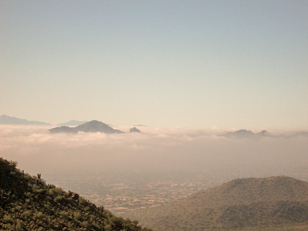
Lost Dog Trailhead, February 1, 2015: I hiked to the summit again from Lost Dog Trailhead. It had been rainy the last two days and today started out very foggy, a big surprise because it is never foggy in Phoenix. Today was Super Bowl Sunday, too, for what it's worth.
The hike went well, and the photographs are certainly unique ... how often does one see the mountains around Phoenix looming above the fog?
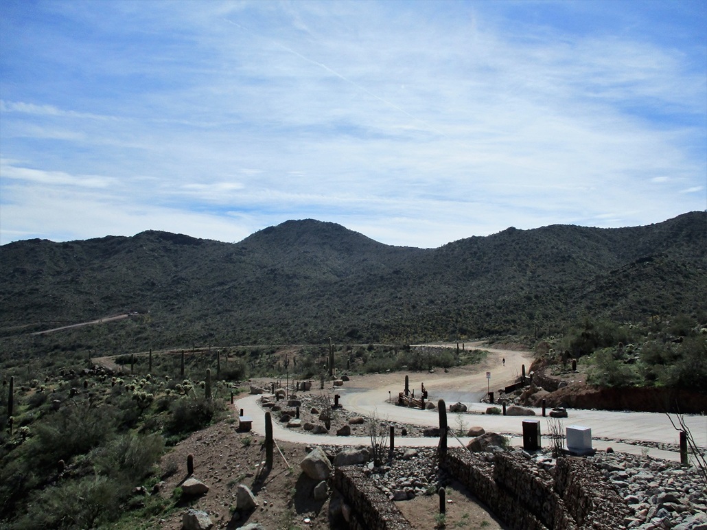
Adero Trailhead, March 1, 2019: Marv and I met again to hike this trail. The Adero Trailhead is brand new and I was unaware of its existence. The one-way mielage is about 3.5 miles, as the trail (the Andrews-Kinsey Trail) goes west for about 1.5 miles, then sweeps east, gaining and losing elevation. We stopped at its junction with the Sunrise Trail near a horse hitching post. Marv ate lunch here, while I ran off to tag Sunrise Peak. This is a great hike with wonderful views and because it's hemmed in by ridges, you don't see much of the city so it kind of feels wildernessy. I left my camera in the car, so I did not take any images. I took one lame one back at the trailhead.
|


|