The Mountains of Arizona
• www.surgent.net
|
|
Summit Mountain • 7 Bar K Hill I had been at our condo in Laughlin, planning to return to Scottsdale early Sunday morning. The weather in Laughlin had been brutally hot, high of 118 degrees two days ago, 115 degrees yesterday. I planned to leave in the middle of the night to avoid the daytime heat. I got my stuff packed and started driving at 3 a.m.. Even at this early hour, my car's temperature thing said it was 99 degrees outside. I topped the gas in Kingman, and then continued eastbound on Interstate-40, gaining elevation until I was in Williams, elevation about 7,000 feet. Now, at 6 a.m. at this elevation, it was actually chilly, and it felt wonderful. I forget what it feels like to not be hot after months in the desert. I got some groceries at the Safeway in town, then found my way to 4th Street, which is also Perkinsville Road. I drove out of the town, southbound on Perkinsville Road.
Date: July 29, 2018
• Elevation: 7,797 feet
• Prominence: 687 feet
• Distance: 3 miles
• Time: 1 hour and 20 minutes
• Gain: 750 feet
• Conditions: Clear with mixed clouds, cool but humid
Arizona
•
Main
•
PB
•
Interactive map
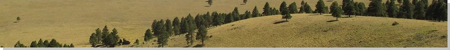
Summit Mountain lies about 9 miles south of Williams (the city) and about six miles south of Bill Williams Mountain. It is one of about a dozen forest-covered hills surrounding Bill Williams Mountain. I was in the area back in June, hiking a sequence of these easy bumps, and I was back again now, taking advantage of being in the area to hike a couple small hilltops and enjoy the cool weather.
Perkinsville Road is a cool scenic drive. βð and I drove this northern half-section back in 2010, exiting back to US-89 near the locale of Drake. It is paved for about 15 miles, gaining elevation and skirting Bill Williams Mountain, then going up and down with the lay of the land through hilly and forested terrain.
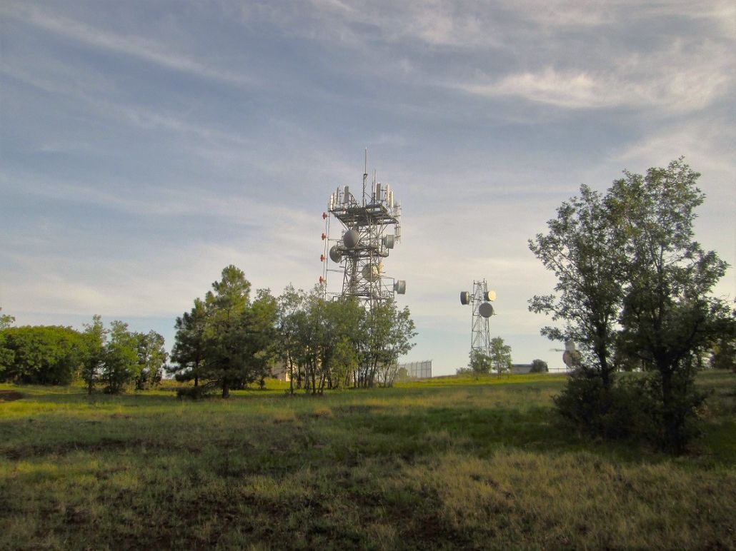
A few miles into the drive, I mounted a rise and could see Summit Mountain not far ahead. This little peak is the highest in the immediate surrounding area, and not surprisingly, has radio and microwave antennae on its summit. There is a service road from the west and a trail from the east.
I tried the service road first. From Perkinsville Road, I eased onto Bear Springs Road, then found Summit Mountain Road, with its fancy green street sign. I drove in and immediately came to a gate. It seems this side is now private. Funny thing is, as I drove to this gate, I suddenly remembered I had been here before --- back in 2010. I had completely forgotten my previous visit, but seeing it all again brought back the memory.
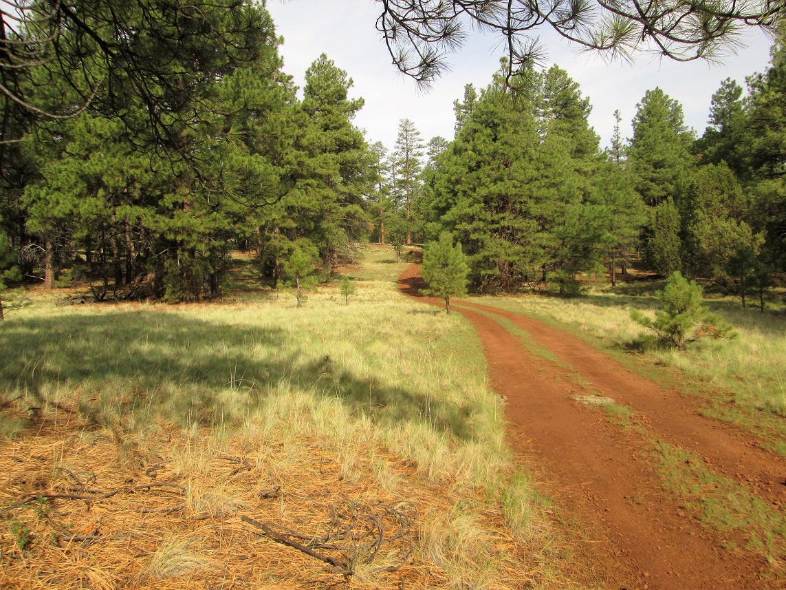
Anyway, I opted for Plan B, a trail from the east side. I backtracked to White Horse Lake Road (Kaibab Forest Road 104), went in a couple miles, then eased onto what the map says is Road 706 (the actual sign there read a different number). The roads were easy to find, so their numbers aren't important. I drove in about a half mile, parking in a small unused camping pullout. There were lots of campers, vans and RVs in the immediate area. I got dressed and started walking at 6:20 a.m., the weather cool but moist, temperature about 55 degrees.
I got about 100 feet and a big german shepherd dog started barking at me, his owner just watching. I squatted down and let the dog sniff my hand, and soon, we were pals. There were about 15 vehicles of all shapes and sizes in this one area. I walked a little more and within minutes, was at the parking area for the Summit Mountain Trailhead.
I had elected to park early because the road was rutted with sections of mud and standing water. Despite the heat in the deserts, the monsoon thunderstorms had been active and it was obvious rain had fallen last night. My Subaru Forrester could have got up these roads, but then the little parking area was bulldozed over in small rocky berms. I could not have parked here even if I wanted to. Parking farther out as I did added just a half-mile each way to my hike.
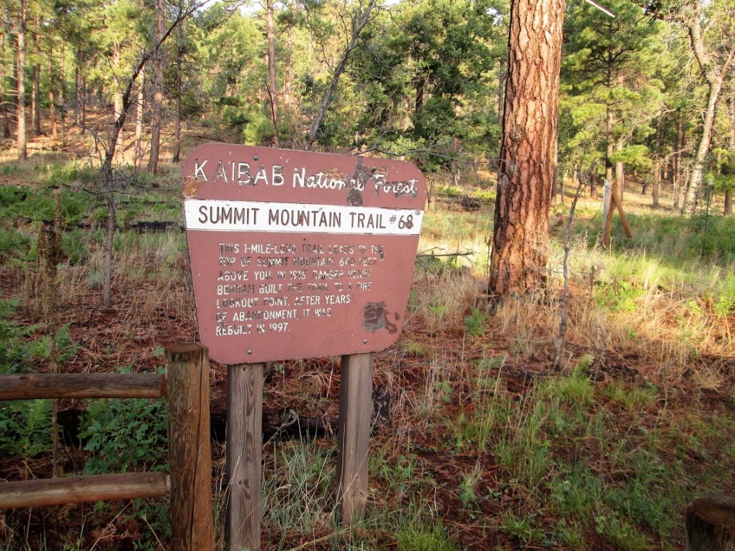
The Summit Mountain Trail was put in about 100 years ago to service a lookout atop the peak. When the lookout was decommissioned, the trail was left to return to nature. In 1997, it was refurbished and opened again to the public. The sign says it's a mile to the top, with 640 feet of gain. It does not appear the trail gets much use, but it's still a good trail, easy to follow in the grass, rocks and light forest.
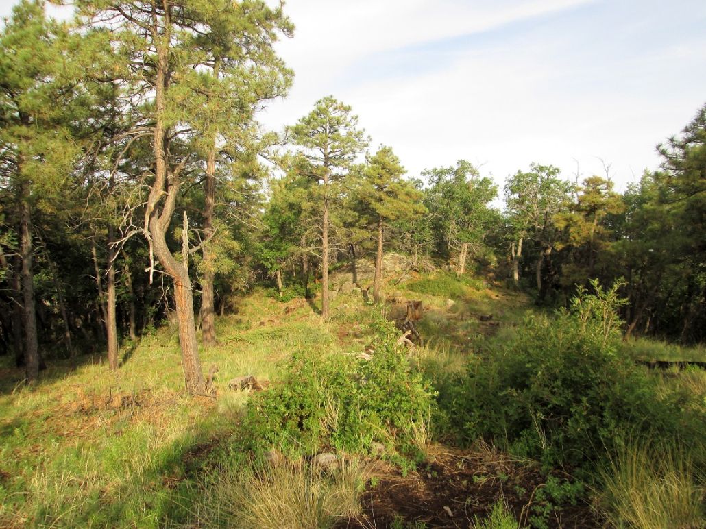
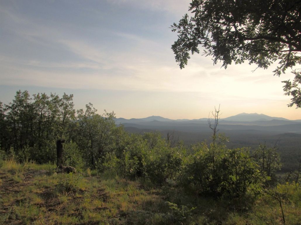
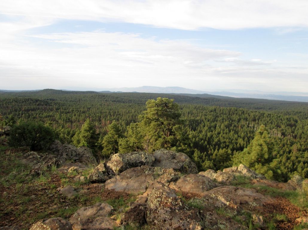
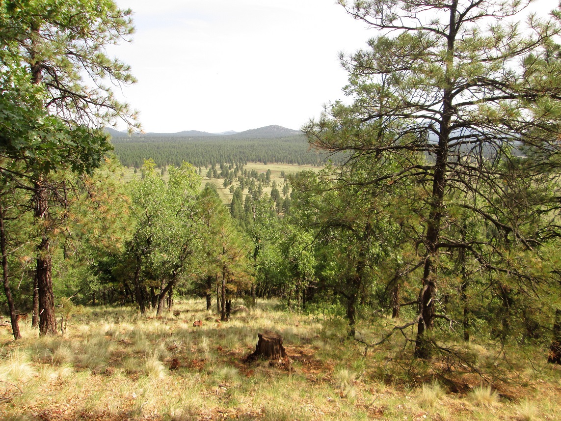
I followed the trail, which angles left a ways, then goes up a series of switchbacks up a south-east trending ridge. It then levels off and ends at an impressive overlook, with great views south toward Mingus and Woodchute Mountains, and miles of unbroken ponderosa forest. I stopped here briefly to snap some photos.
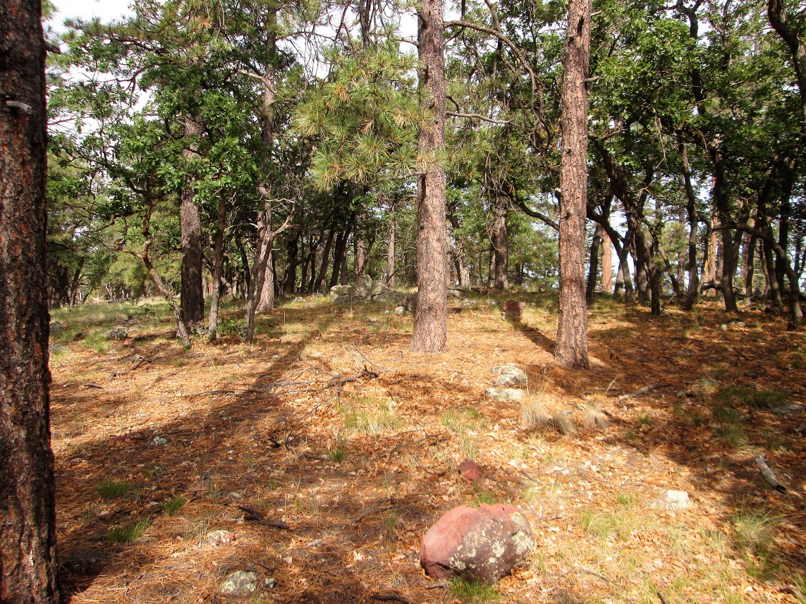
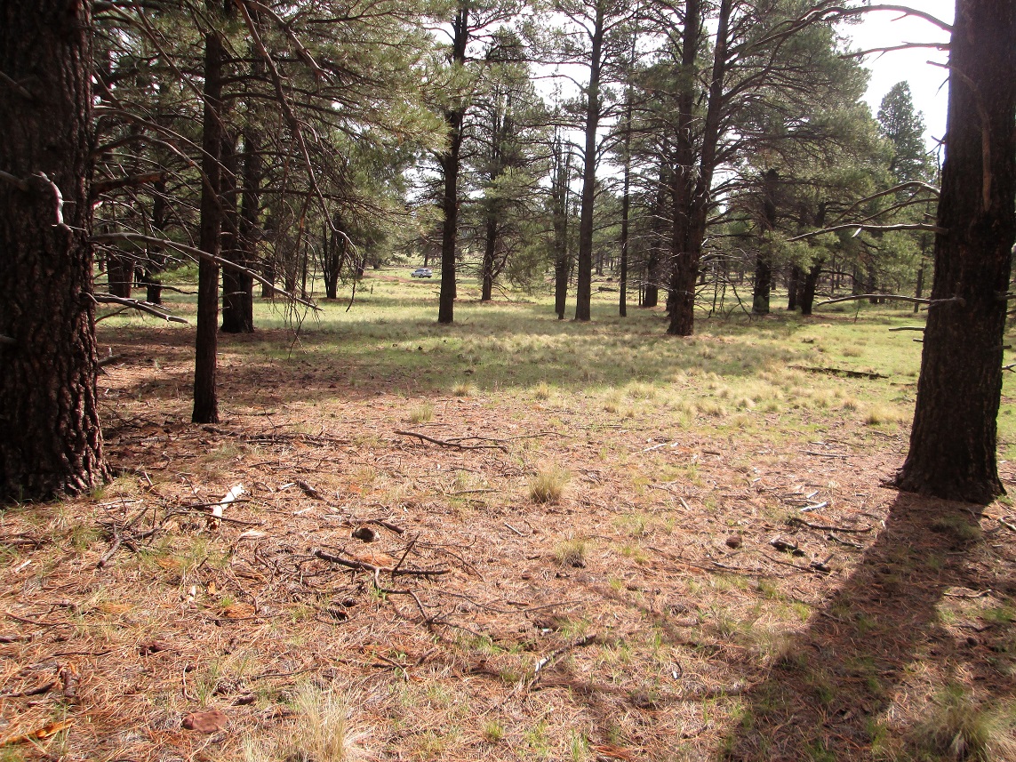
This is the end of the official trail. Scanter paths continue north toward the antenna structures and the highpoint bump. The forest is thin enough here to allow for long views so that navigation is trivial. I was soon on the top, which was rocky and slightly wooded. Thousands of ladybugs were asleep in clumps on the rocks and tree branches.
I then walked a little bit to the east toward a clearing. Here, a small wooden post with what looked like an old sign stood. I had beautiful views east toward the big peaks. However, the sun was low that way with moist air, so I snapped a couple images, fully expecting to get nothing but glare. To my surprise, one image came out much better than expected. It's included here.
I hiked back the way I came and was back to my car at 7:40, a 1-hour, 20-minute hike. It was still early, and I had one more hike on the agenda, another forested hilltop called 7 Bar K Hill.
Elevation: 7,403 feet
• Prominence: 555 feet
• Distance: 3 miles
• Time: 1 hour and 10 minutes
• Gain: 525 feet
• Conditions: Mostly clear, warm and slightly humid
PB
I had just hiked Summit Mountain, it was not yet 8 a.m. and I had time for another hill in the area. I chose to try this one, 7 Bar K Hill, which lies about 6 miles southeast of the city of Williams, along the west loop of Garland Prairie Road.
I was here last year, hiking Davenport Hill and KA Hill, which lie on either side of 7 Bar K hill. I had intended to hike this hill, too, but I ran out of time. So here I was again, back to properly hike this volcanic mound.
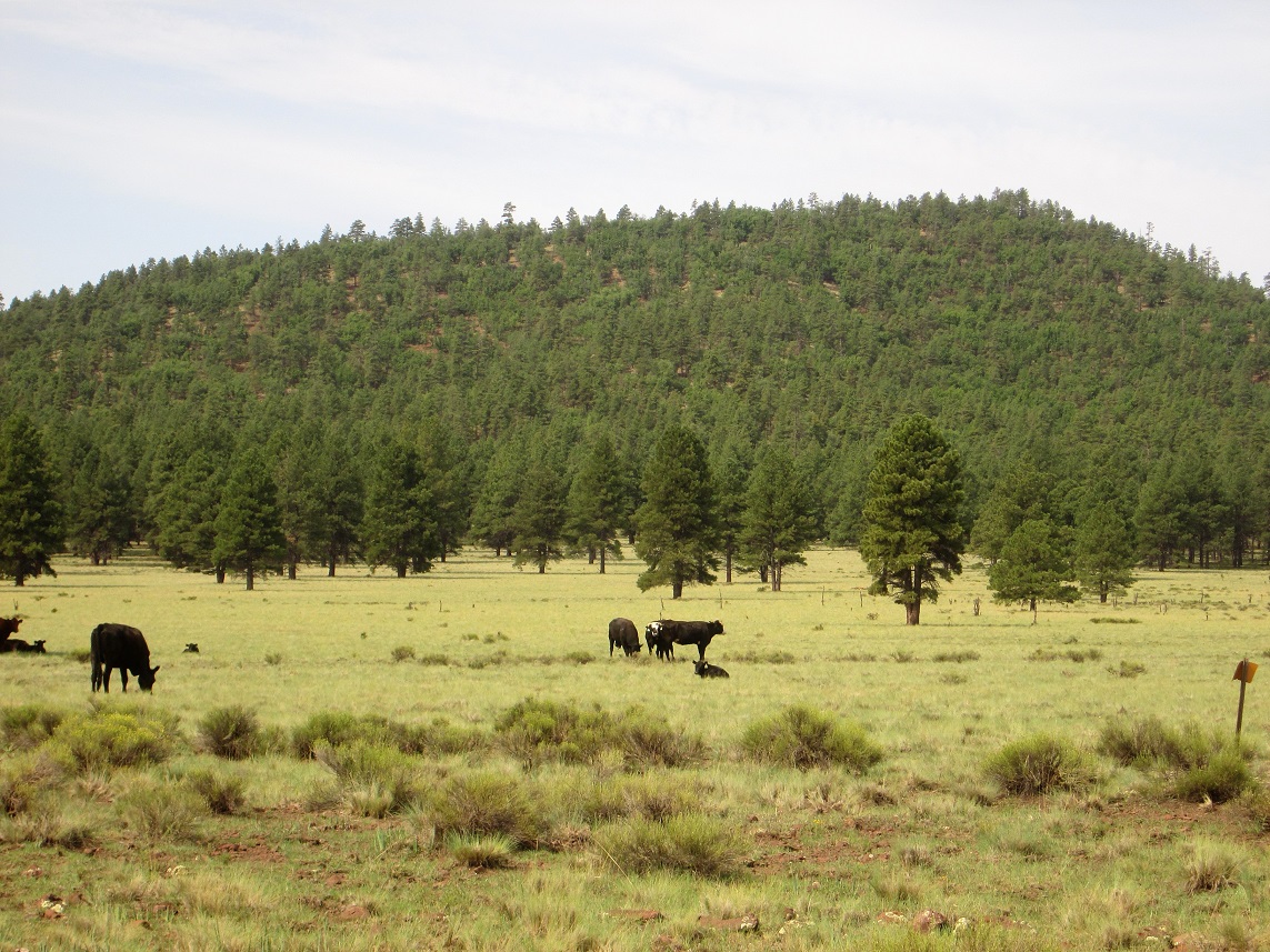
This hill looks like all the other ones in the area, smallish mounds of volcanic rock and rubble, covered over in thick ponderosa forest. It's not an epic hike, but it looked like fun and a short workout. At least the day was cool and pleasant, not a million degrees like it is back home in the deserts.
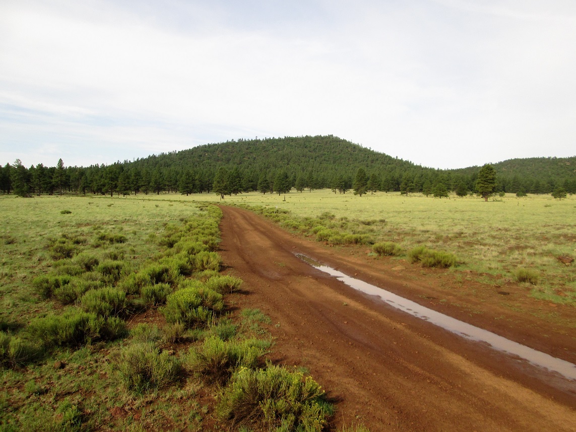
From Williams, I got on Interstate-40, then exited immediately onto Garland Prairie Road, heading south. I followed the main road south and southeast, staying on the "main" road whenever I came to a fork. In a few miles, I entered into a broad meadow called McDougal Flat. Davenport Hill is the first big hill, then comes 7 Bar K hill. I found a smaller forest road going right (west), south of a small stock pond.
I eased onto the road, which is in good shape. However, it had rained here last night, and there were small pools of water in this road. What wasn't under water was still a soft, sticky mud. I drove in about a quarter mile, kicking up a lot of mud and skidding for short stretches. I parked in a clearing just as I re-entered the forest. I was slightly east of a junction where another forest track branches to the north and encircles the hill. I parked and started hiking at about 8:30 a.m., in cool but humid conditions, temperature about 70 degrees.
My plan was to follow this track to the saddle north of 7 Bar K Hill's top. I started hiking it, and where it bent right and started to drop elevation, I left the track and kept the same bearing, figuring I'd intersect the path again as it bent west.
The forest is thick here but not that thick, and I could usually see about 150 feet in any direction, enough to navigate easily. I would keep my bearing but then angle left (upward) whenever it seemed right. Soon, I was going up more than across and decided to not bother hiking to the track. I would just barge directly up slope instead.
About half-way up, I came upon a path. It was old and weak, but clearly a trail of some sort. It was not a game path. Higher up, this path angled across the upper ridges with branches to the top. My best guess is that this may have been a horse path for the ranchers back in the old days. I don't think too many people come here to hike this peak and if so, only a few would find this path.
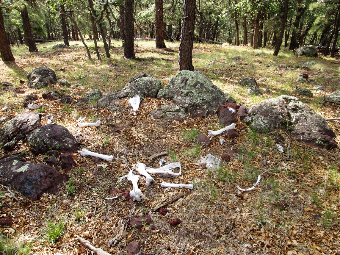
For me, it was a good find. It allowed me to move quickly. Within 30 minutes after starting, I was on top, the summit being wooded with no views over the countryside. The top is rocky, with bones of a large creature strewn about. I signed into the log. Placed here in 2015, it held just a few names, the most recent from this past April. Another large rock about 30 feet away may have been slightly higher than the top rocks here, so I tagged it. I did not stay long.
For the hike down, I retraced my route in the general sense, going wherever the slopes led me. Soon, I was back to the lower flats and finally, could spot my car in the trees up ahead. I had been gone just over an hour. It was a nice hike, with some views on the descent, but mostly wooded otherwise. I wouldn't recommend it in place of better hills in the area, but it was easy and a good workout.
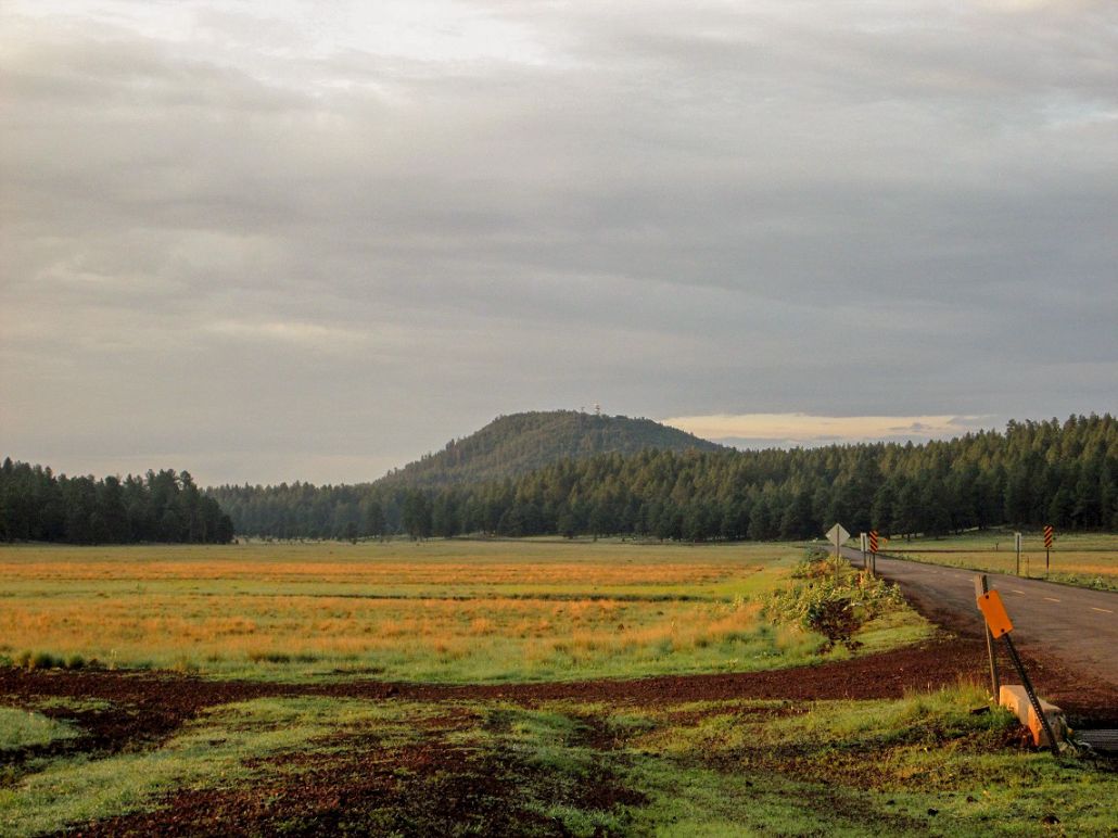
So now it was time to go home. I usually prefer to take US-89 from Ash Fork into Prescott, then catch Interstate-17 at Cordes Junction, but the construction on Interstate-40 forced me to go east (the onramp westbound was shut). So I decided to go through Flagstaff and take I-17 all the way home. Being a mid-morning Sunday, everyone was heading home. Lots of vehicles, big trucks and people pulling boats, ATVs and smaller vehicles. It was very thick. The scariest bits are the big downhills, from Flagstaff into Verde Valley, and the one from Sunset Point into Black Canyon City. People in big RVs pulling cars fly down those grades. You'd think they know better! It was nasty. I bailed off the interstate as soon as I could and took local routes back to my home in Scottsdale.
I tried finding information on what 7 Bar K means. I assume it's an old ranch name or brand, but nothing shows up on the google machine.
|


|