The Mountains of Arizona
www.surgent.net |
|
Peak 3123 • Peak 3259 The Suizo Mountains are a small range in Pinal County, about 30 miles south of Florence and 15 miles north of Oracle Junction, west of highway AZ-79. I climbed the range's highpoint in 2017. Aside from the highpoint, there are two other ranked peaks (and one unranked) in the range, the entire range running just a couple of miles in length. I hiked these two peaks on two separate outings, as I was commuting back and forth between Tempe and Tucson his week, taking care of some other personal matters. The roads in were better than I was expecting, and these two peaks could easily be done as a pair in less than three hours, or even less if you have a Jeep or ATV to park closer in.
Date: April 1, 2025
• Elevation: 3,123 feet
• Prominence: 303 feet
• Distance: 2 miles
• Time: 50 minutes
• Gain: 305 feet
• Conditions: SUnny, some clouds, cool
Arizona
•
Main
•
PB
•
LoJ
I was heading north from Bisbee to Tempe, this being my Tuesday Tempe run. I passed through Tucson and onto Oracle Road (AZ-77), taking that to Oracle Junction and up AZ-79. I had a map for the north peak (this one), and I knew it would go fast as there are tracks almost all the way to its summit. As usual, I had to be mindful of my time, so I did not plan on hiking the other peak today.
The road I wanted begins at a gate on the west side of the highway, immediately north of Olsen Wash (north of milepost 104), about three miles north of Park Link Road. The gate is unlocked and not posted, just signed with the usual the "Please Close Gate" notice and its State Lands status.
The road is was in excellent shape. It goes north first, then west for a mile, coming to a second gate, this one also unlocked and unposted. I went south immediately past this gate, then right (west) at the first Y-junction. Here, the road is still in good shape, but the brush grows close to the sides. I got some free desert pinstriping. I parked in a clearing, too good to pass up.
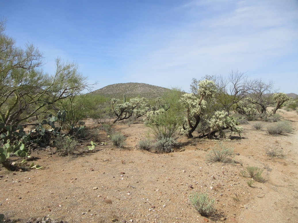
The day was sunny but cool, probably the last cool spell before summer kicks in. The sky was blue but with clouds and a haze of fine dust, as it has been windy in the entire state for the past few days. I got suited up and my pack on, going light. I was less than a mile from the peak on a straight line. The temperature was in the mid 60s.
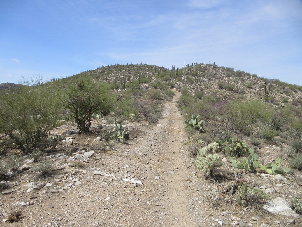
I followed this road to a junction, went left (southwest), then right (west), as it gained gently up a lower hill north of the peak. The road then bent south to a saddle, then southwest up the main body of the small peak. The road ends on the east side of the peak's top, about fifty feet below. There were mines here in the old days, the Blue Note and Honey Pot mines being the main ones.
I backtracked from the road's end and found an opening in the brush to gain the top ridge. The slope was gentle and the rocky terrain behaved nicely, the rocks staying put. Brush was moderate but easy to avoid, and there was essentially no grass. It was probably a little too chilly for snakes, but I still kept an eye out for them.
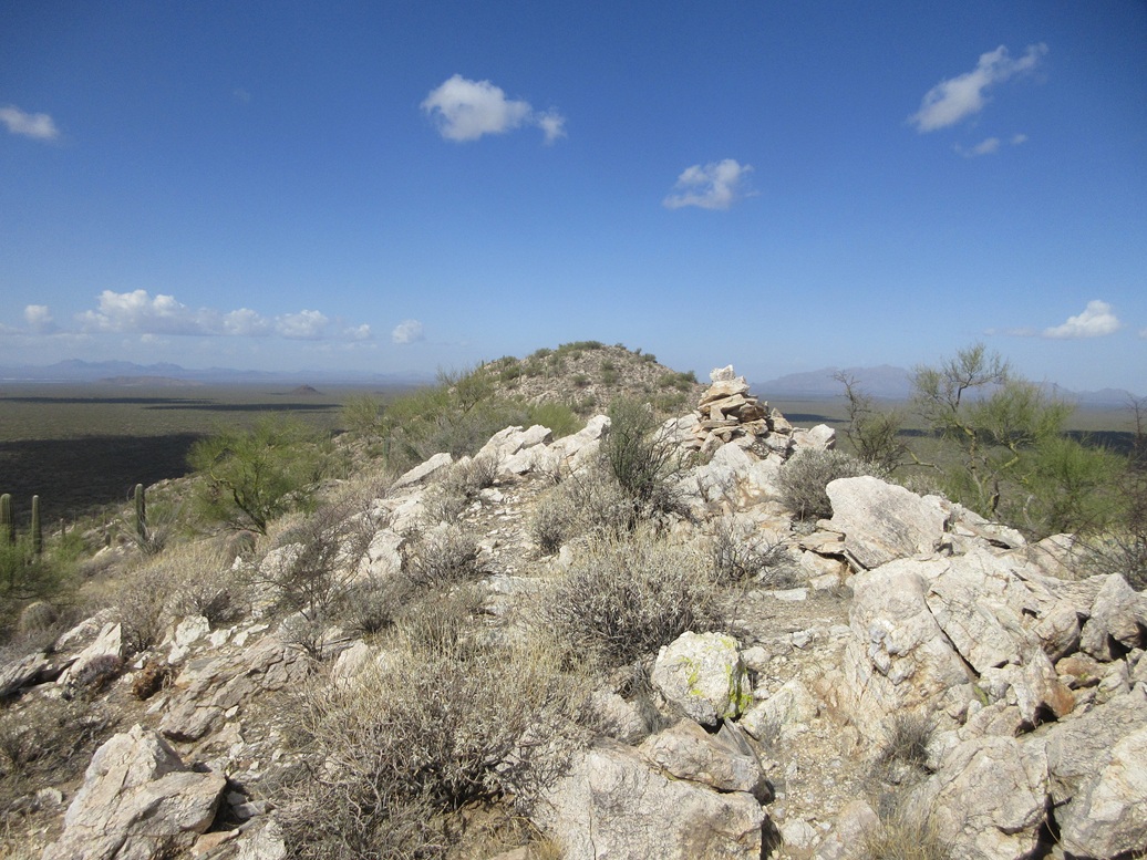
I gained the top ridge and angled left (south), to the highpoint cairn, this one-way hike taking just twenty minutes. Including the bends and turns in the road, I figured about a mile one way.
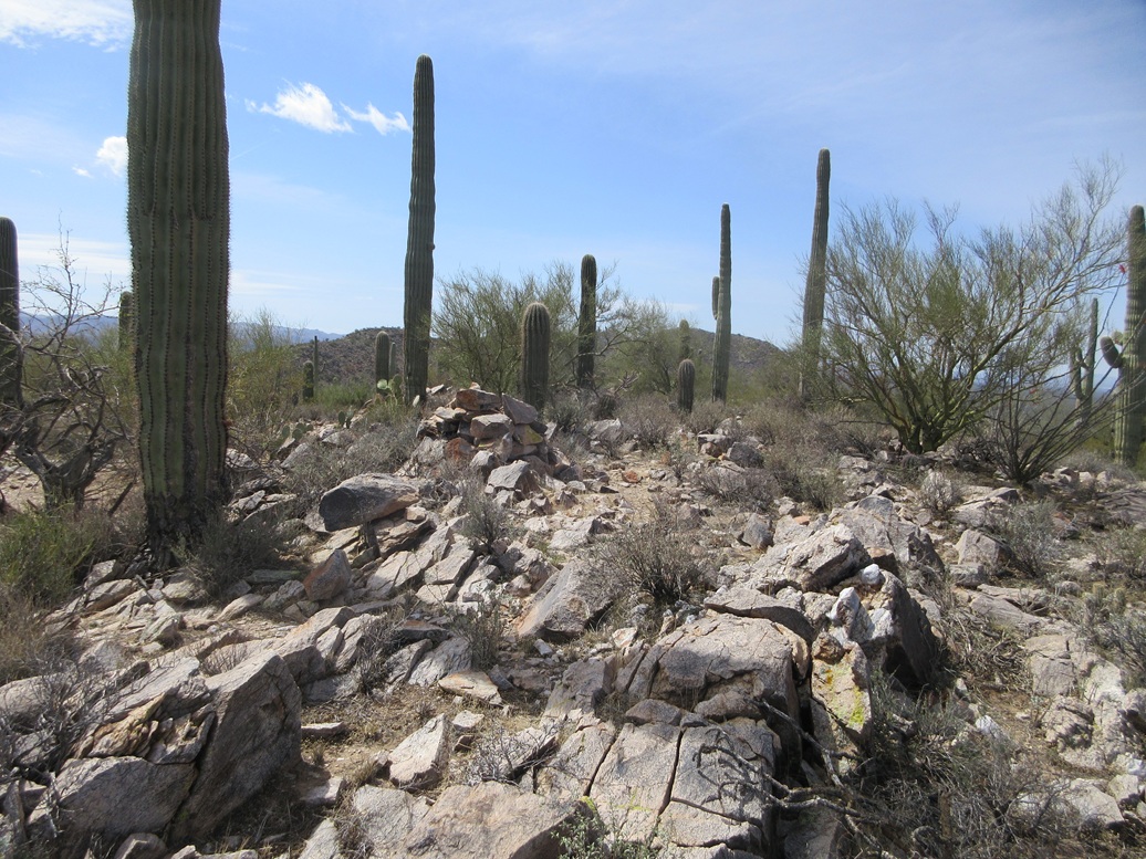
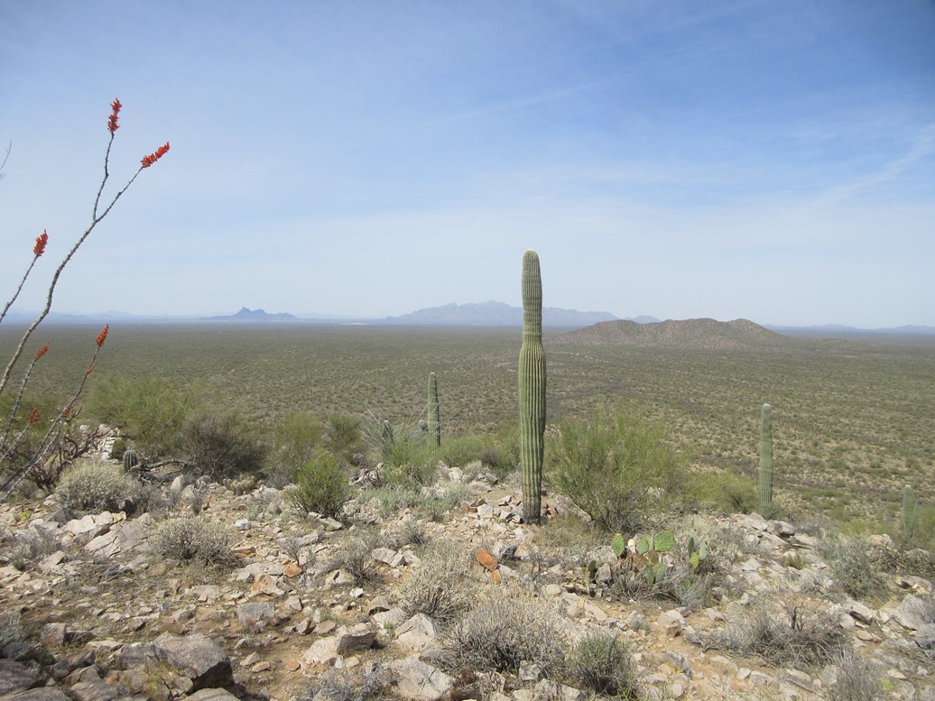
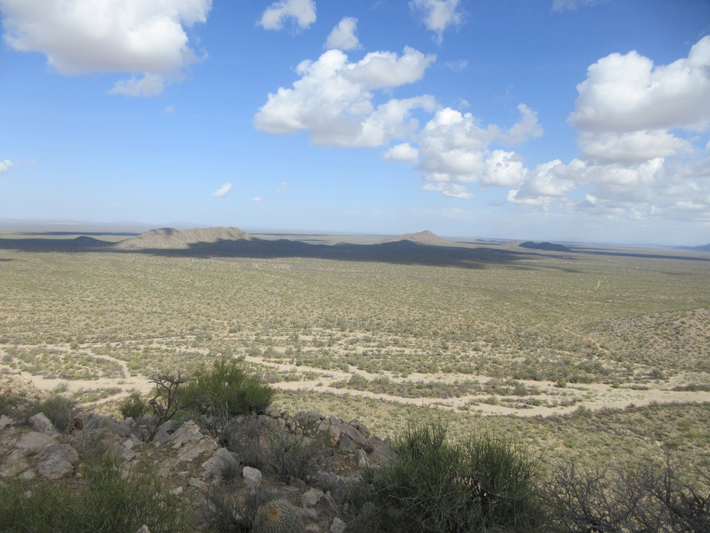
The top features large saguaro, and views were sometimes blocked by them. I had fine views looking north and west, but views to the south were of the big cactus. Another rocky nubbin about 300 feet to the north looked as high, so I went to it.
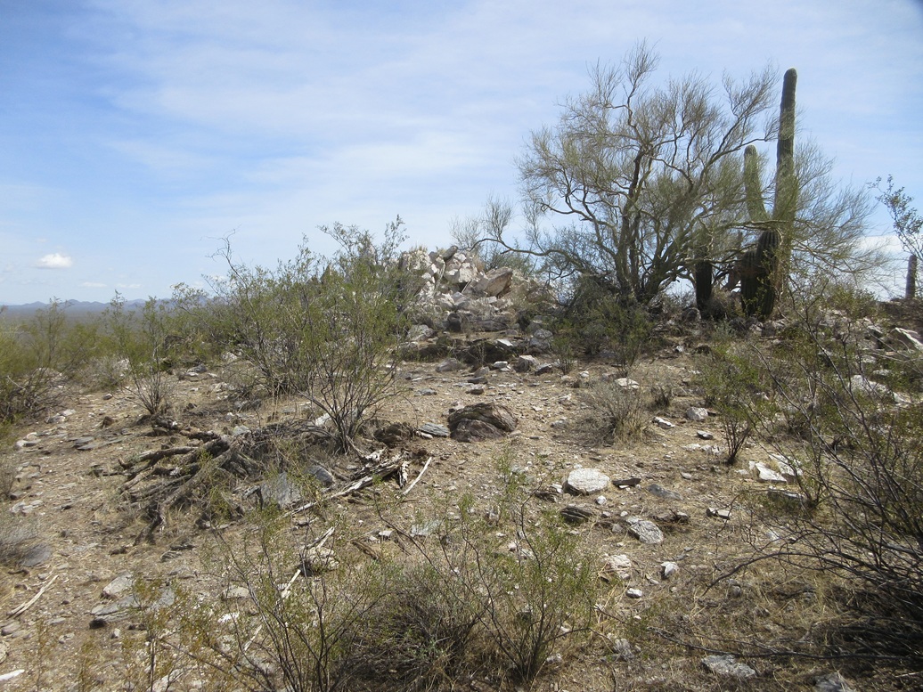
This rock nubbin has a more substantial rocky outcrop, much too large to be a man-made cairn. I could not sight between the two highpoints but felt I covered all bets by visiting both points. I never found a register.
I descended directly down slope back to the road and to my car, a round trip of about two miles, taking a shade under an hour. I followed some different roads out, not saving any (or adding any) distance. But I wanted to see their condition for when I returned for the other peak. It was about noon now, and I was pleased with this little hike. The hill is nothing special but it was easy and the views were not too shabby. From here, I exited back to the highway and on into Tempe.
The lidar data at the 1-meter refinement has not been released, so there was no way to tell what lidar might say about the two rock nubbins. The peak's prominence is borderline, but averages out to 303 feet, and a study of the contours suggests it almost certainly exceeds 300 feet, and is probably higher. The coarse 1/3-arcsecond data suggests a prominence of about 310-320 feet.
Date: April 3, 2025
• Elevation: 3,259 feet
• Prominence: 339 feet
• Distance: 2 miles
• Time: 1 hour, 45 minutes
• Gain: 520 feet
• Conditions: Sunny, brisk wind, clouds
• Wildlife: Stingy the Bee
PB
•
LoJ
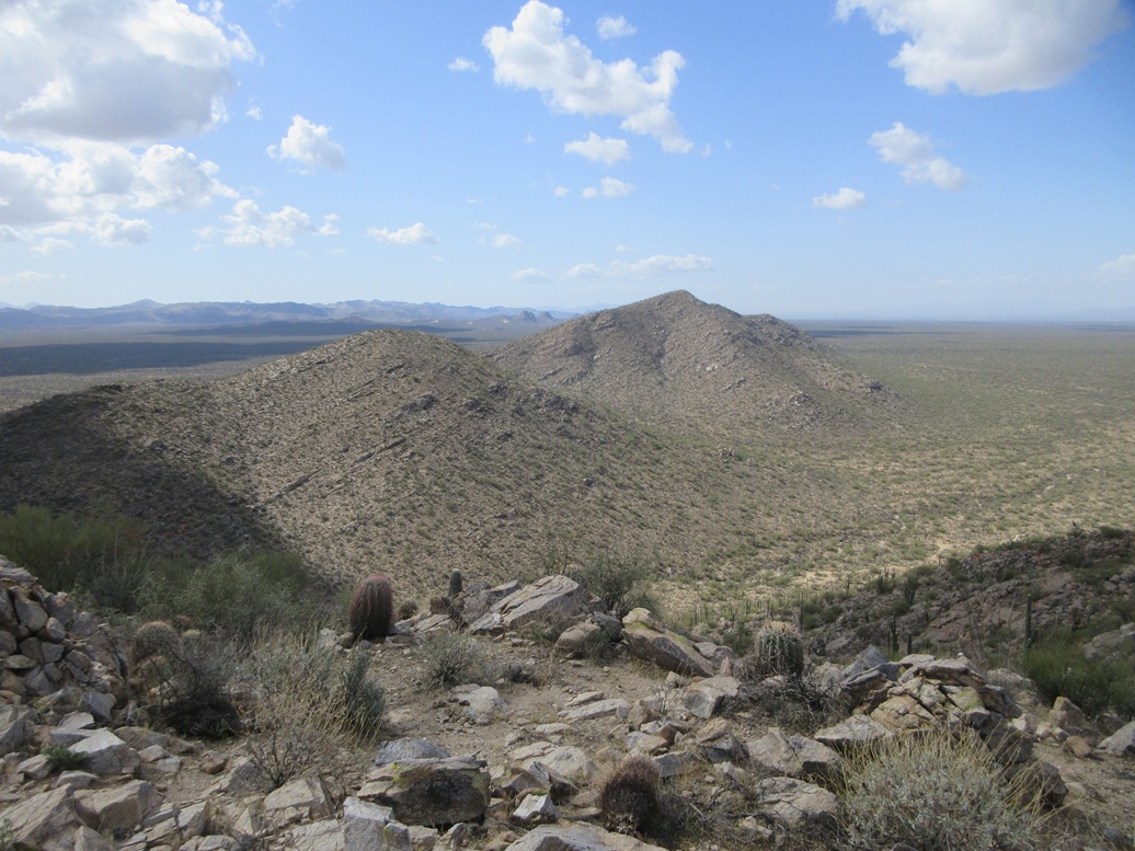
It's two days later now. I was in Tucson yesterday attending to some important matters, so today, I was heading back up to Tempe. Since I had already scouted the roads for this peak and my original intention had been to hike both peaks anyway, I came right back, now with Peak 3259 on the agenda. This peak is the next one south from Peak 3123 (above).
I found the gates and roads just fine, and was able to get in another half mile farther than where I got to two days ago. I was about a mile from Peak 3259. The day was cool and blustery, sunny but with puffy clouds hustling through.
I got dressed and packed and was on the move at 9 a.m., following the road south. The road I was on quickly degenerated into a rocky track, suitable only for ATVs or the hardiest of Jeeps. It was narrow and rocky, with steep drops into and out of a handful of arroyos.
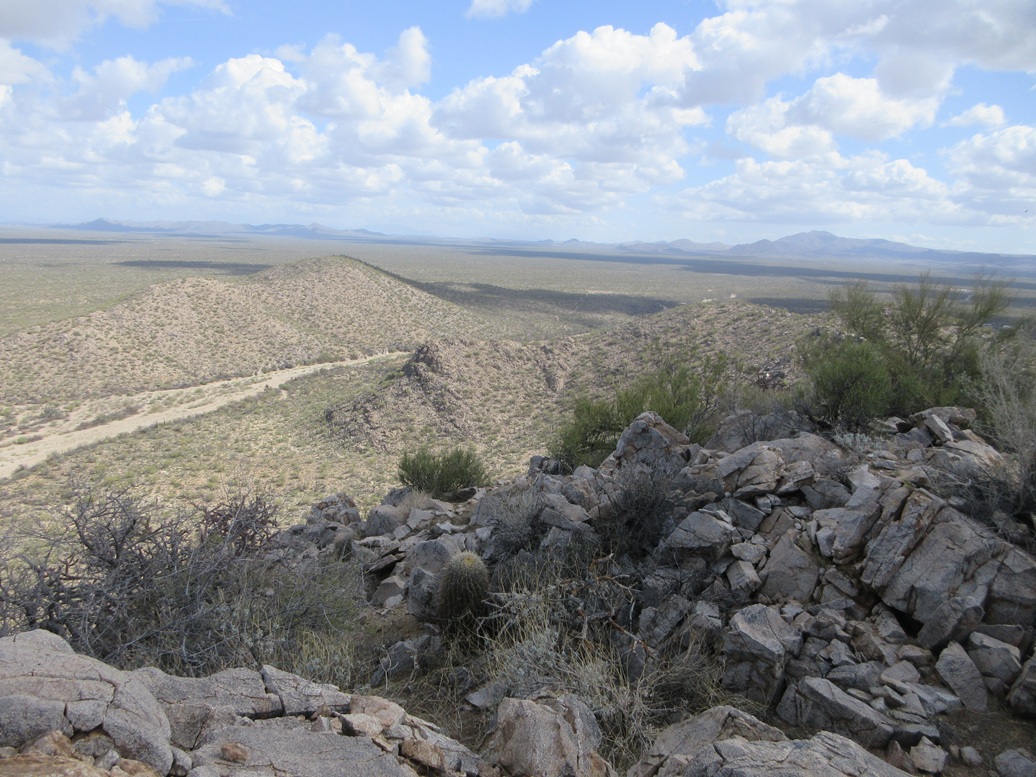
This track then dropped into the broad Coronado Wash, which runs between the two peaks. I was now in its sandy bed. The track picks up on the other side, as I could see it, but getting to it wasn't so obvious. The wash braided and what wasn't sandy washbed was thickets of mesquite growing tightly together. I zigged and zagged, made a few guesses and soon found the continuation of the track.
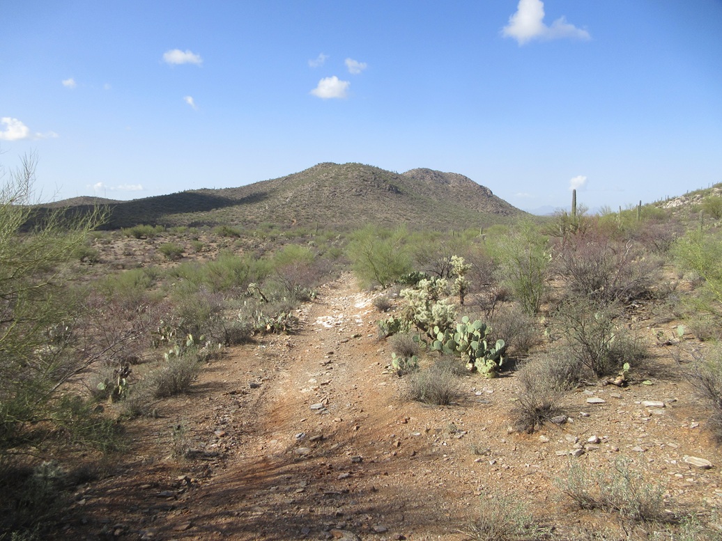
The track gained up out of the wash and at its apex, where it bends east away from the peak, I started up the slope. Like Peak 3123, the slope was rocky but solid, mostly granitic boulders, all leaning back nicely. Brush was moderate but always with a lane, and there was no grass to hide anything.
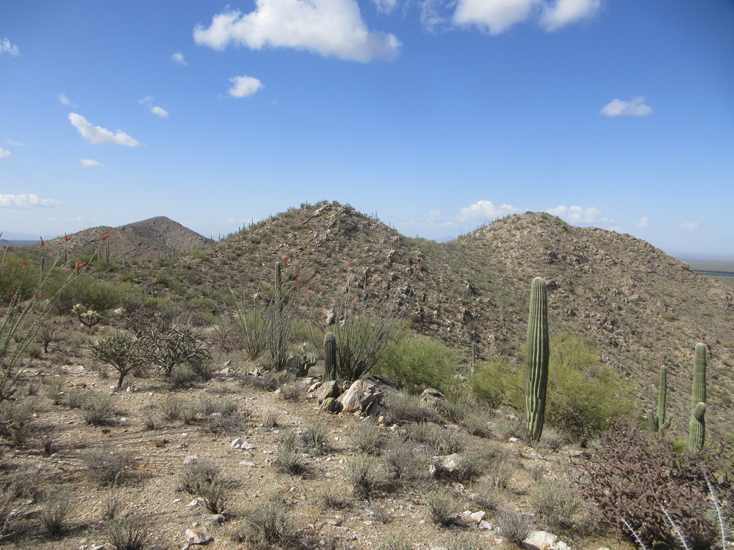
I marched up this slope, now on the peak's northeast tip. The summit could be seen, about four bumps away. I stayed high and just went up, around or through the rocks and the brush, the hiking being very easy and logical.
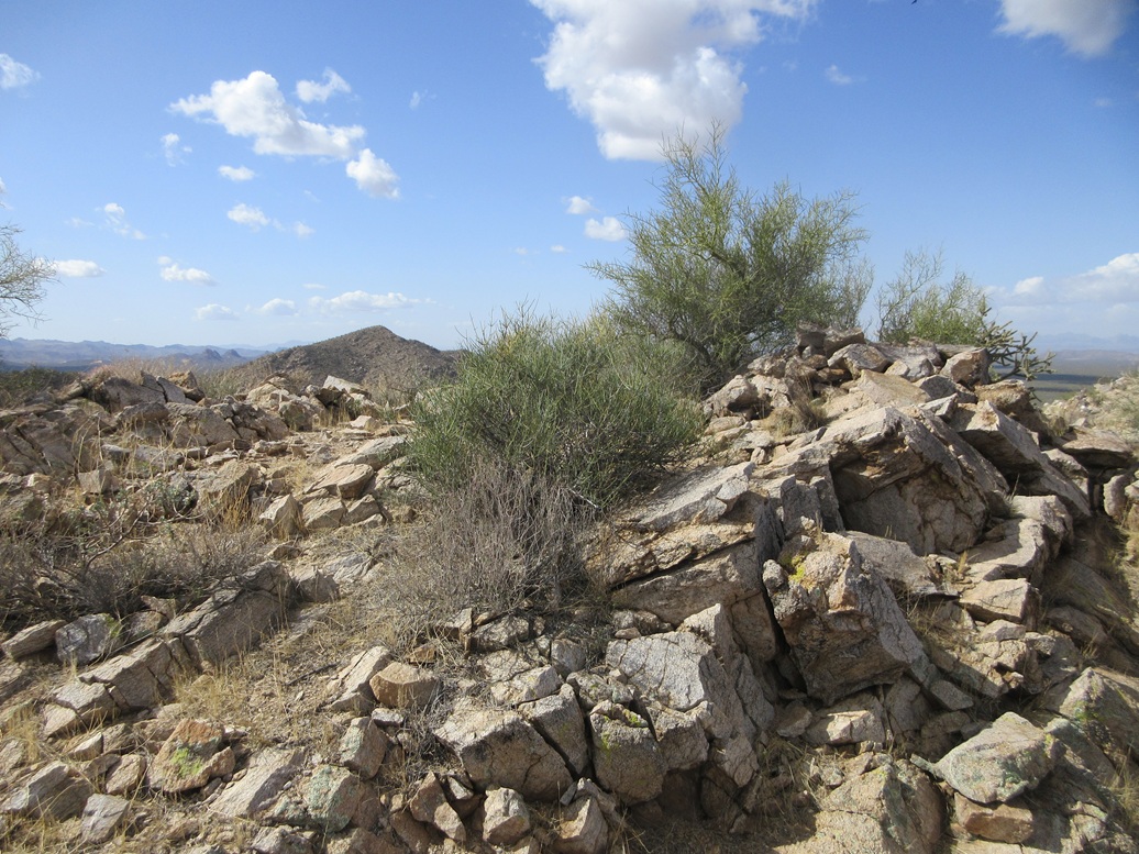
The second-to-last bump was steeper but easy, and it had a substantial cairn on it, probably a mine-claim cairn. I dropped to the high saddle, then up the slope to the top.
The summit was rocky but open, some slight cliffs facing north. I found the summit cairn and register (two of them). A couple of bees started to buzz me aggressively. I wanted to sit and have a snack and sign in the register, but they wouldn't leave me alone. I was able to quickly sign in on one register just as I felt a sting on my lower back, where my shirt had untucked itself from my pants. One of those damn bees got me.
I put the register back in the jar and into the cairn, and started down. The bees tailed me for a few more yards but then gave up. Instead of repeating the ridge route I had taken up, and all its ups and downs, I just dropped directly down from the high saddle into the wash below.
The drop was steep but with good footing the entire way. It would make a good ascent route too. In the wash, I saw tire tracks, so people do come here, but it would probably require 4-wheel drive and good tires, as the sand is soft. I walked until I found the track, then walked that back to my car.
Although an easy hike, the extra ups and downs and the more time off any track added some time to the overall hike: an hour and 45 minutes for the round trip. It was close to 11 when I was back to my car.
It would make sense to hike these two peaks as a pair, or possibly all four of the range's peaks at once, although that might take a few hours. Access is open (with a State Lands permit) and the roads in were very good. I'll probably be back ... the southern peak of the Durham Hills appears to be reachable by this same road net. That would clean up this batch for me, but I am in no hurry.
I got to Tempe fine, taught my class, then returned to Tucson for one more night. The next day, a front moved through the state, all those clouds from today being the leading edge. On my drive back to Bisbee, I hit some rain cells on the interstate and a few nearer the Mule Mountains, although nothing heavy. Naturally, the weather forecast is for a twenty-degree rise in temperatures by the middle of next week.
|


|