The Mountains of Arizona
www.surgent.net |
|
Slate Mountain • A 1 Mountain We were in Flagstaff for the long weekend, and I had two peaks on the agenda, Slate Mountain and A-1 Mountain, both in the Flagstaff area, and both that I had originally tried for back in January, then again in May. Weather and general conditions kept me away from both peaks those times.
Date: October 11, 2015
• Elevation: 8,215 feet
• Prominence: 853 feet
• Distance: 4.5 miles
• Time: 2 hours
• Gain: 840 feet
• Conditions: Beautiful
Arizona
•
Main
•
PB
•
Interactive map
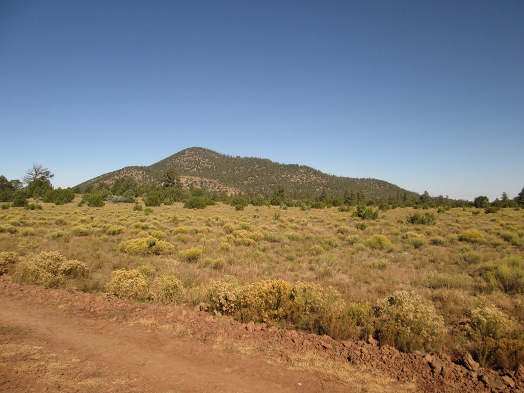
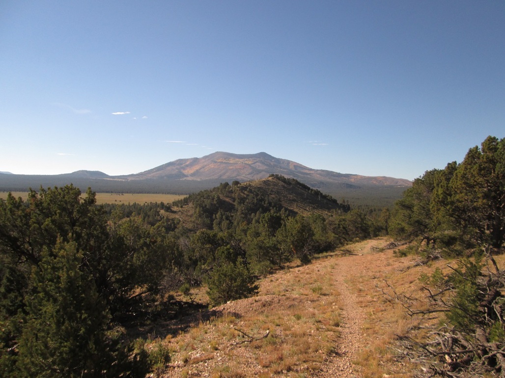
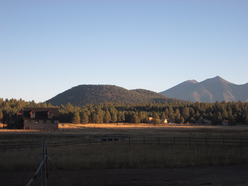
We arrived yesterday and stayed at a Motel-6 in town. Early this morning, I got my stuff together and drove to Slate Mountain, about 25 miles northwest of Flagstaff along US-180. The peak is north of bigger Kendrick Peak, and due west of Red Mountain. I followed Forest Road 191 about two miles to the small parking area and trailhead, rolling in a little after 7 a.m. No one else was here. The conditions were awesome: blue skies, cool but not cold, a soft breeze, no clouds for hundreds of miles, and no humidity.
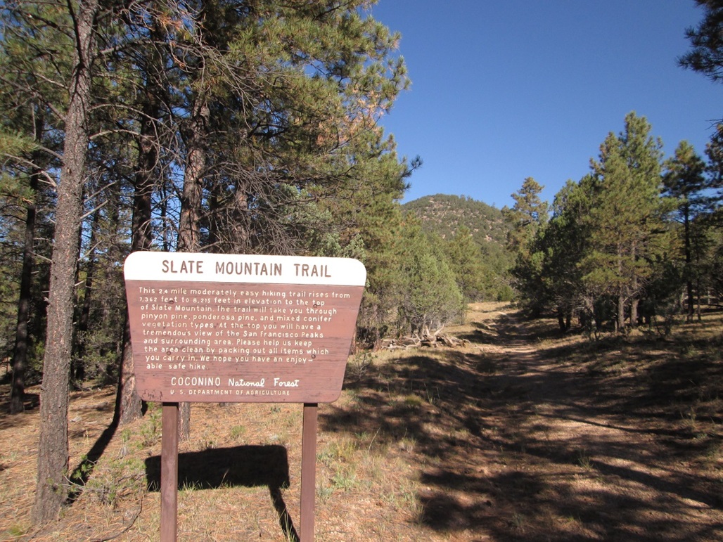
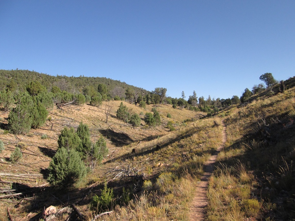
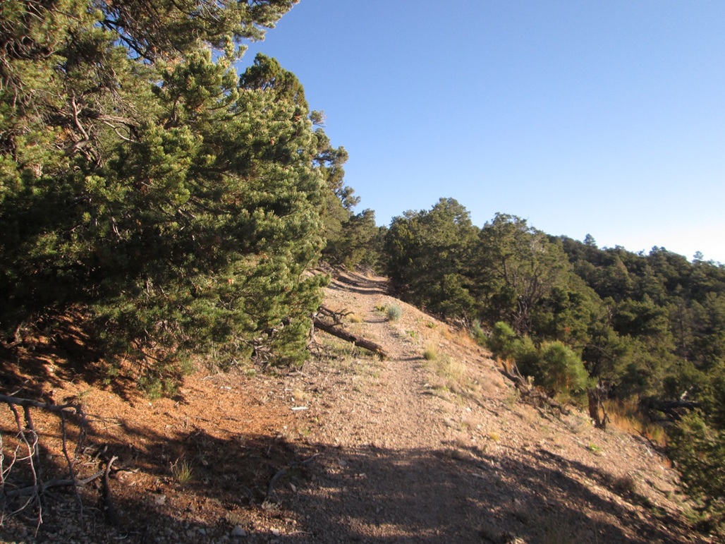
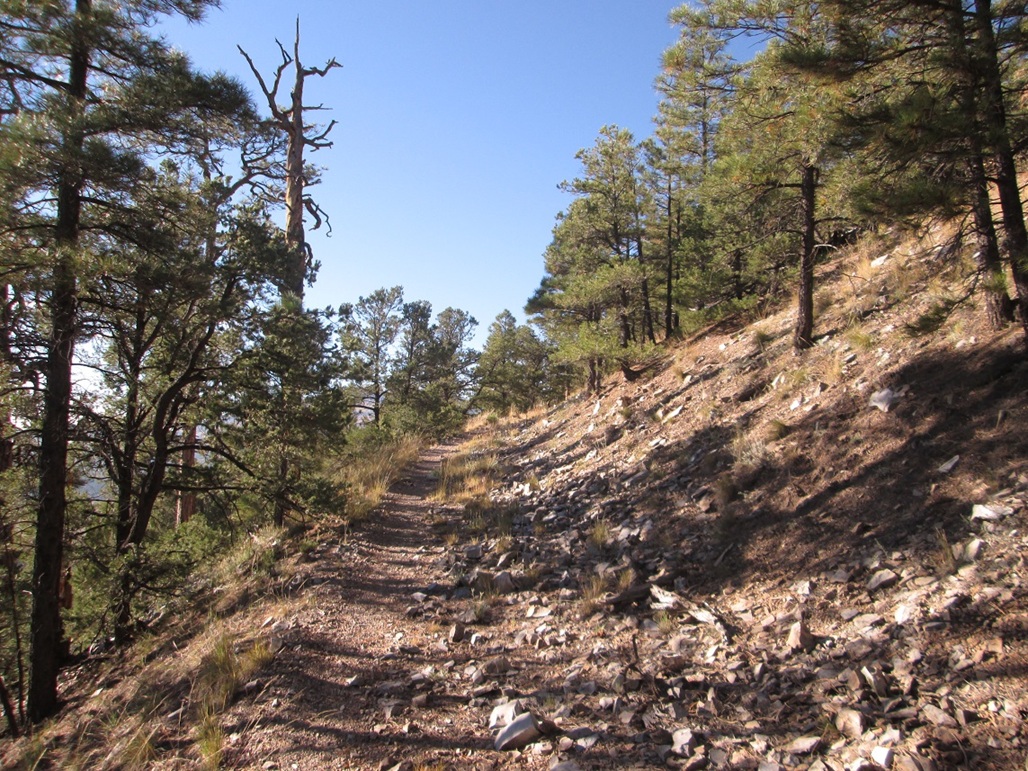
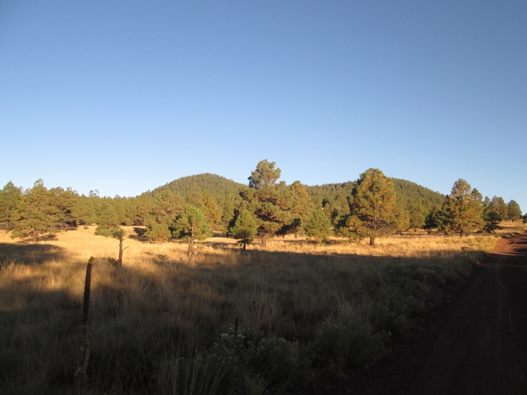
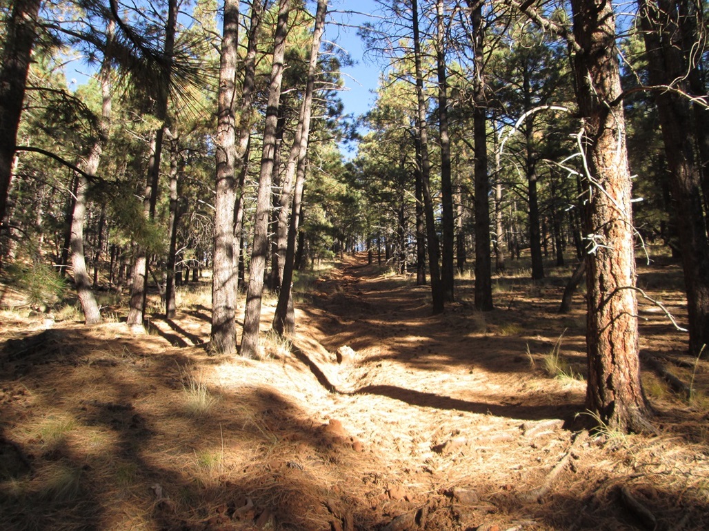
The route to the top is along an old road, which has long been closed to vehicles. The path now looks more like a traditional trail, but in places you can see the old road cuts and berms. Because it was an old road, the gradients are always very gentle.
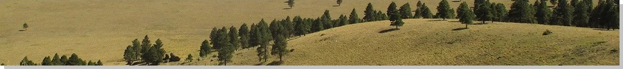
I started hiking at 7:15 a.m., and kept a steady pace the entire way up, never stopping. The views are excellent, rarely obstructed by big trees. Higher up, the forest becomes thicker. There are a few informative signs along the route describing the main plant species.
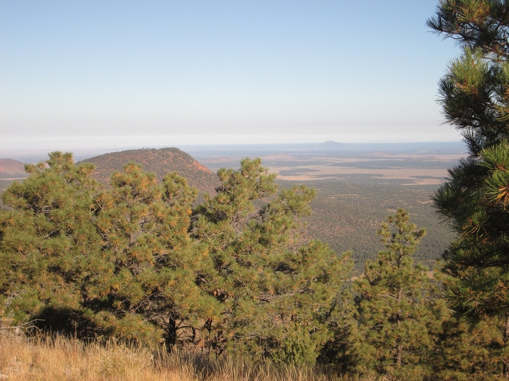
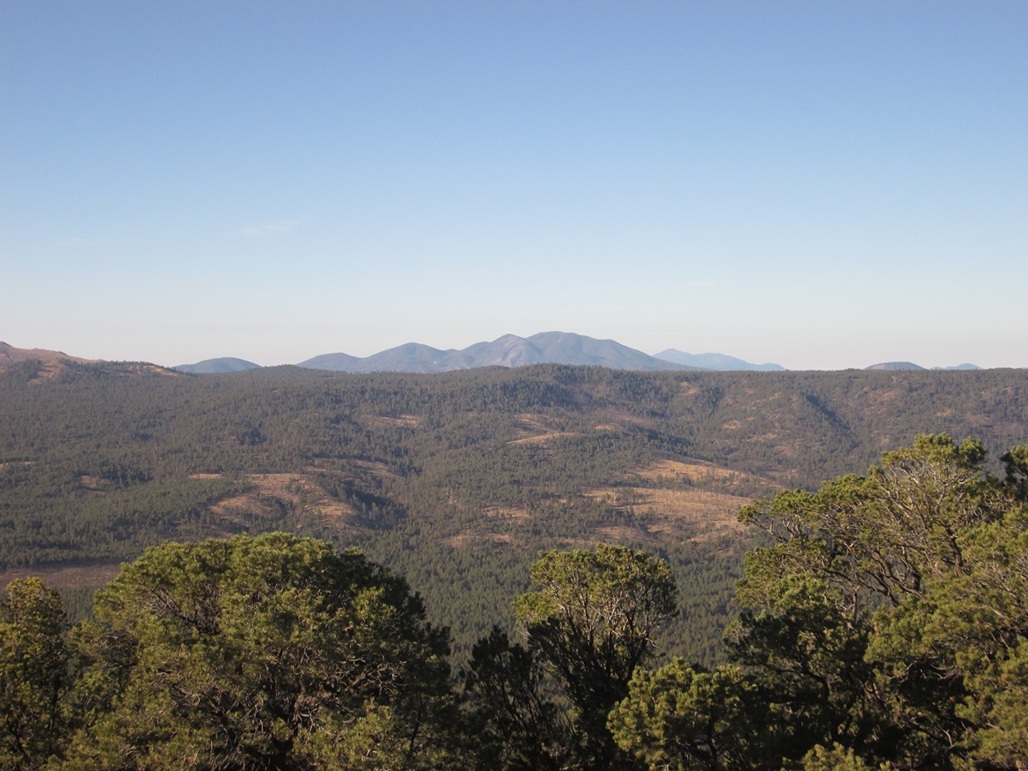
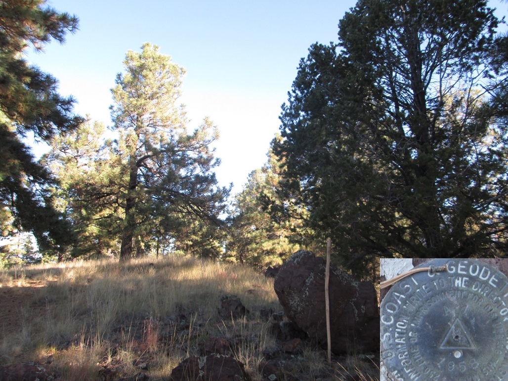
The route corkscrews to the summit, and in exactly an hour, I had arrived on top. The views were outstanding. I could see the North Rim of the Grand Canyon, plus sense where the Coconino Plateau abruptly ends at the South Rim. I could see all the main peaks, such as Red Mountain, distant Red Butte, Sitgreaves Mountain, Bill Williams Mountain, Kendrick Peak, and of course, gigantic Humphreys Peak, which had a dusting of snow on it already. I spent about 10 minutes up top.
The hike down went fast. I was back to my truck after 50 minutes. Counting my time up top, my round trip was exactly two hours. According to the sign, it is 2.4 miles each way, but others using GPS put the mileage slightly shorter. I cut the difference and call it a 4.5-mile round trip.
This was a nice hike. It was not tiring, due to the easy grades, and the views were excellent all the way up and down. Due to its distance from Flagstaff, not many people hike it. The sign-in log at the trailhead showed just a couple people from yesterday. I would expect it to be more popular than it is.
Date: October 12, 2015
• Elevation: 8,302 feet
• Prominence: 892 feet
• Distance: 1.5 miles
• Time: 75 minutes
• Gain: 730 feet
• Conditions: Marvelous
A 1 Mountain is about five miles west of Flagstaff, not far north of Interstate-40. From our hotel, I drove briefly on the interstate to the A 1 Mountain Road exit, and north through a small batch of homes to an open gate, about a mile off the interstate.
Back in January, I got this far, but the gate was closed due to snow and mud. I had considered walking it from there, but chose not to at the time. As it turned out, it was probably a wise decision. Coming back now was so much nicer, and I could drive the roads rather than walk them.
The main road is designated Forest Road 506, and trends northeast a mile across Observatory Mesa. The land here is flat with trees and grass meadows. The mesa gets its name because the famous Lowell Observatory is located at the far east end of the mesa.
Road 506 bends left at a Y-junction, then a half-mile later comes to a T-junction. Road 506 goes right, Road 518-B goes left. Not knowing any better, I stayed on 506, but the road's quality lessened, becoming rougher with big puddles and mudpits from a rain about a week ago. And I could tell I was trending away from the mountain. So I turned around and followed Road 518-B in a clock-wise loop. In a mile, I had arrived onto a wide cleared area on a saddle, elevation 7,700 feet, near a "Comm Facility" as shown on the map. It was 7:45 a.m. when I parked, me being the only one there. I could not see any Comm Facilities in the area.
The hiking route up A 1 Mountain follows a very rough ATV track straight up the east slope. The road is essentially undrivable, and is very steep in places, but is easy to hike. In about 15 minutes, I had barged up 500 vertical feet in a half mile to a small flattish basin, putting me between the two 8,300-foot points that vie for the summit honors.
I kept to the main road as far as it would take me. It bent left, then grew scanter as it gained up the hillside. To my surprise, it fed me onto the top west rim, placing me just a few feet from the summit. I walked north a few feet, finding the benchmark in a rock flush with the ground near the highest hump of land. A large rock about 30 feet to the south may be the highest point, as it juts about 4 feet above the ground and perhaps a foot higher than the benchmark.
Trees limited views to just the west. The day was clear and dry and I could make out mountains far to the west, well past distinctive Bill Williams Mountain. I have no idea what these peaks are, and assume many may lie on the private and state-lease lands that way, making most of them off limits.
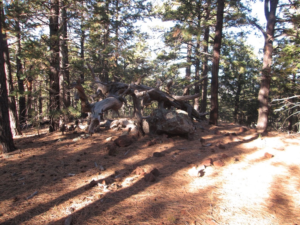
After a few minutes, I hiked down the road back into that basin, then found another side road that went directly to the eastern point. The top here was completely wooded and I had no views. A large rock appeared to be the highest point, with a big dead tree having fallen over it, but not obscuring it.
I then hiked down to my truck, the whole journey taking 75 minutes. From here, I drove back to town, got some food, then drove back to the hotel to be lazy for the rest of the day.
|


|