The Mountains of Arizona
www.surgent.net |
|
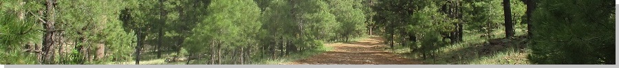
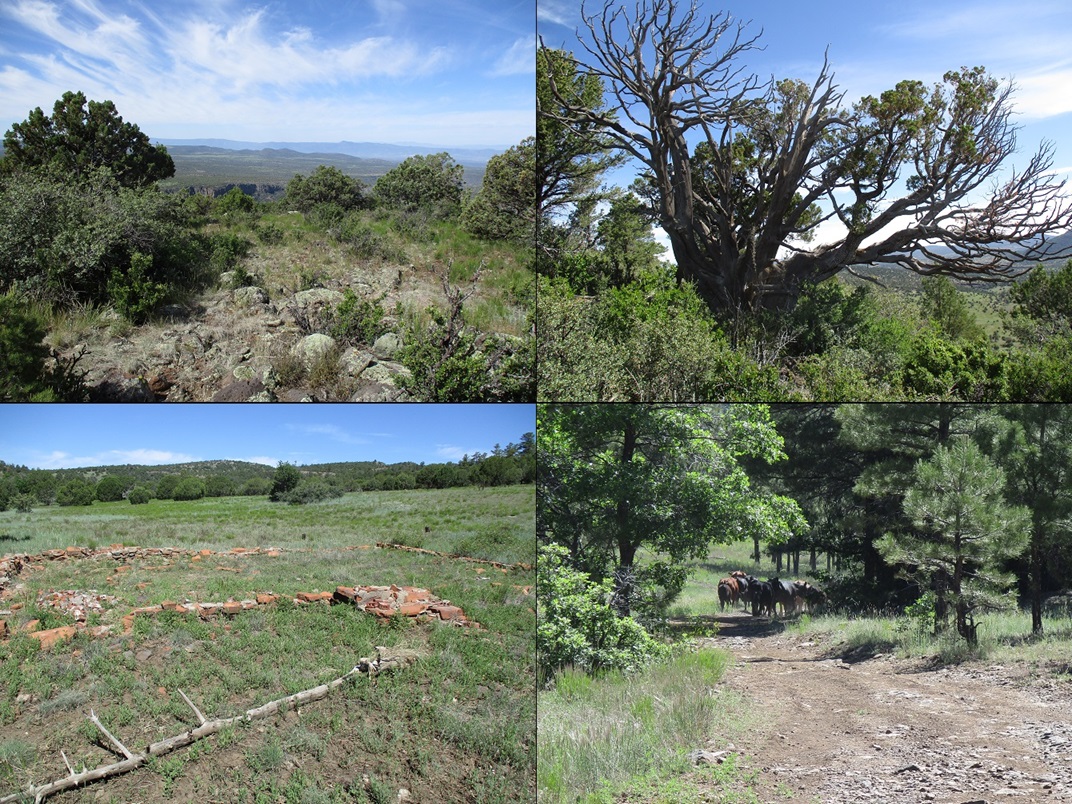
Six Mile Butte • Hog Hill • Apache Maid Mountain I have been intending to revisit Apache Maid Mountain for many years now. My wife and I drove the road to its summit and lookout tower back in 2008, and since then, I've wanted to return to hike to its top, to make my ascent more "mountaineery". Two years ago, I drove here with the intention to hike Apache Maid Mountain and nearby Hog Hill, but I got a flat tire on the drive in and that forced me to exit, change my tire, and head to Flagstaff to get my tire patched. This is my first time back since then. Apache Maid Mountain is a prominent bump of a peak rising above the sloping forested highlands of the Mogollon Plateau, where it drops elevation to the west and fronts the Verde River valley. It is easily the most visible feature in the area, rising fully 400 feet higher than any other surrounding hill. Its prominence makes it a natural location for a forest service lookout tower. In 1960, a road was built to the top, and in 1961, the tower was completed. Hog Hill is a ranked peak about three miles west of Apache Maid Mountain and would be my other primary goal. In reality, the hike to Hog Hill would be the more demanding hike, covering over 7 miles, while a hike to Apache Maid Mountain could be as little as a mile each way, maybe less, or more, depending on where I parked and how I felt. While perusing maps yesterday, I looked around for any other possible peaks to hike and found Peak 4547, named Six Mile Butte on Peakbagger. It looked short, had a trail, and was close to the interstate, so I added it to my agenda.
Date: June 10, 2023
• Elevation: 4,547 feet
• Prominence: 347 feet
• Distance: 2.2 miles
• Time: 65 minutes
• Gain: 570 feet
• Conditions: Clear and mild
Arizona
•
Main
•
PB
•
LoJ
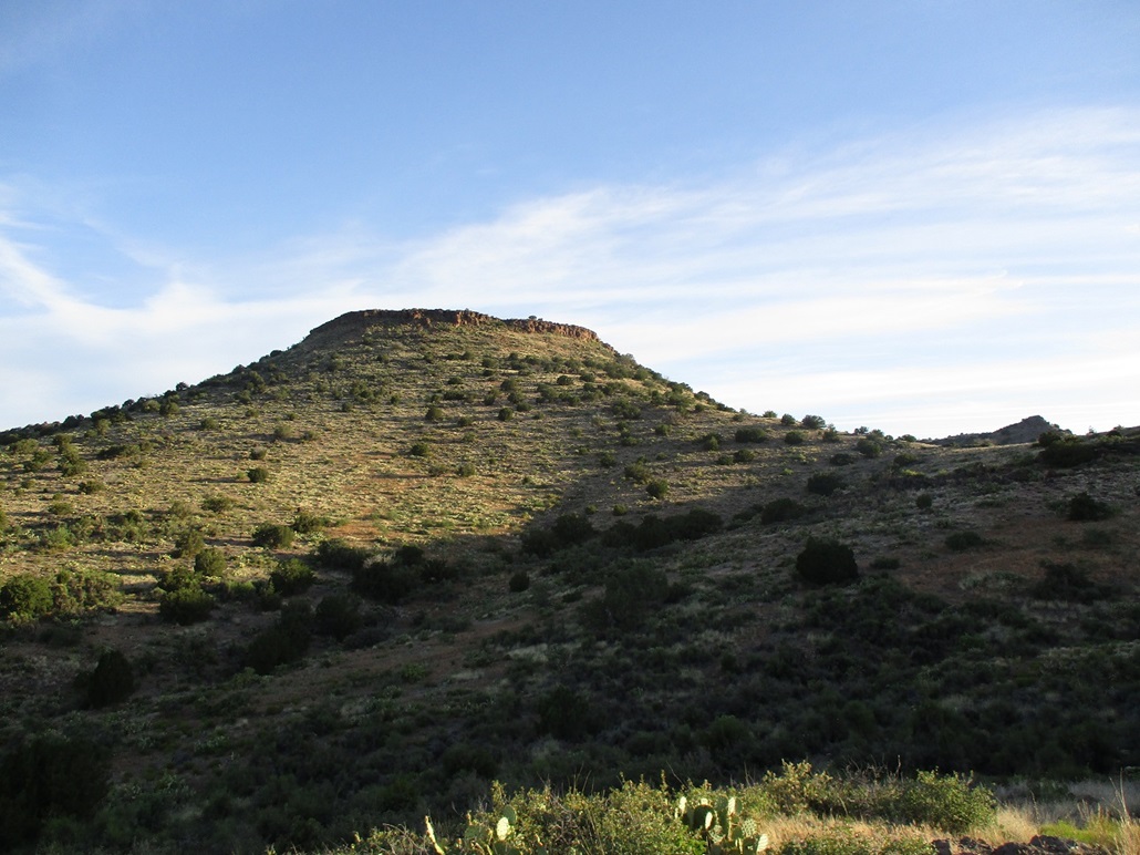
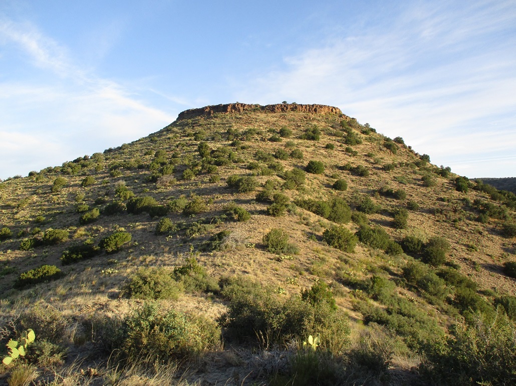
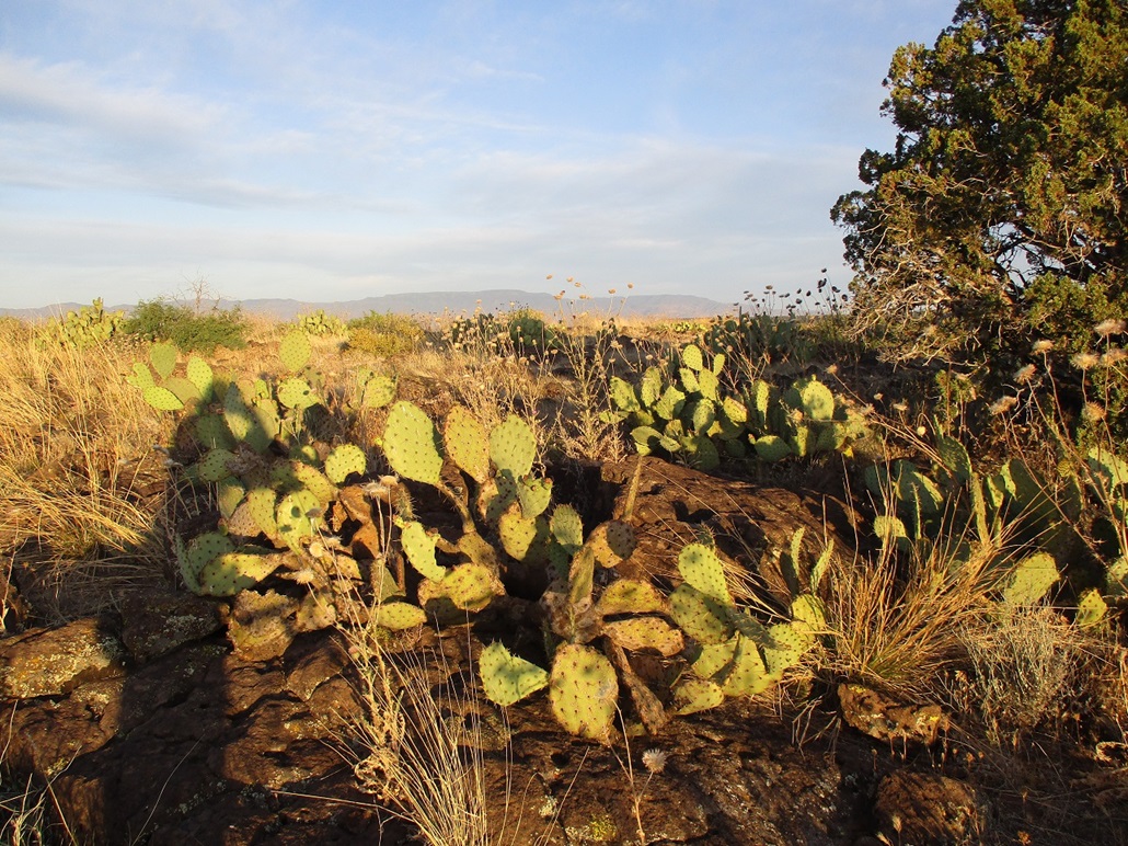
This peak lies south of the main Red Rocks of Sedona, a little southeast of House Mountain. It has no name on the map, and is listed as Six Mile Butte on Peakbagger. It may be a local name used for the peak.
I was on the road at 3:20 a.m., with no traffic whatsoever. Naturally, I wonder what the other drivers on the freeway are doing up at 3:30 a.m.. Probably going to hike peaks, like me. I stopped in Camp Verde for drinks and snacks, then took the Sedona exit (state route AZ-179) a few miles north of town. I followed that a few miles to the Beaverhead Flats Road on my left, drove that for about a mile, then eased off the road at a "scenic overlook". This lies about a mile south of the peak and would serve nicely as the trailhead.
I rolled in at 5:10 a.m., the sky starting to brighten but the sun still below the eastern peaks. There were no clouds and it was still, temperature in the low 60s. Today was looking to be mild state-wide, but that's a relative term considering it's June. It meant highs here would be in the 90s. Thus, I wanted to hike this peak first since it had the lowest elevation of the three planned. I figured I could expect about an hour of pleasant morning temperatures while the sun was still low.
The peak rises immediately above to the north, a flat top with a band of cliffs. I suited up and was walking at 5:20 a.m., following an ATV track northeasterly. The ATV track ends about halfway up the slope but a good footpath continues upward and meets the ridge southeast of the summit cliffs. A lesser path then continues upward toward the top.
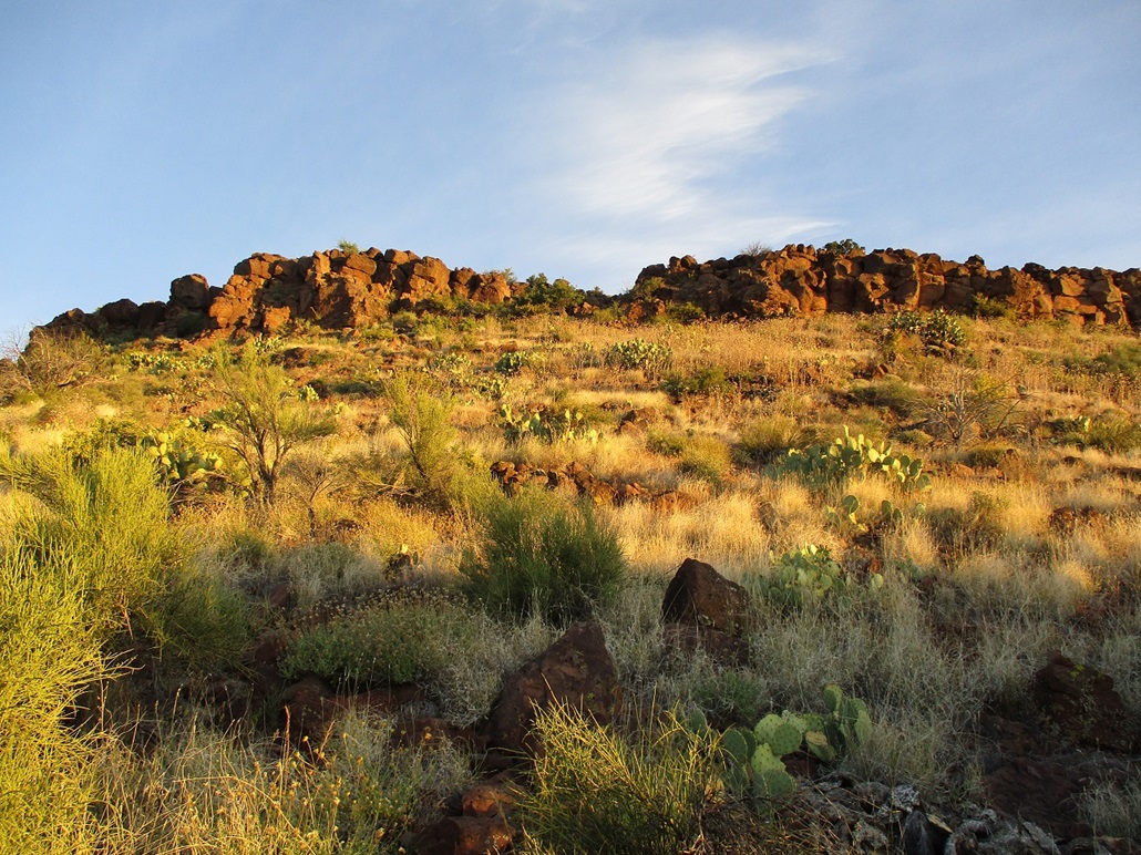
The path was easy to follow and well defined until suddenly, it wasn't. It simply petered out in the low brush and grass. I was about 60 feet below the cliffs, aiming for the obvious weakness. By now, the sun was just rising above the eastern hills and the temperature shot up about 10 degrees. It also awoke every insect on the hill. Suddenly, grasshoppers were jumping into me, gnats were flying into my ear, mouth and nose, and flies were everywhere. I also kept an eye open for snakes.
Toward the base of the cliff, I picked up the trail again. It leads to a chute, and I scrambled up this easy slope of big boulders to get up and above the cliffs. I was now on the little summit plateau. The highest ground was to the south (my left), so I went that way and stood on top of every rock that looked like a possible highest point. I did not find a cairn or register. Views weren't bad, but the prettier Red Rocks of Sedona were mostly hidden by foreground hills. I was pleased to be successful on this peak, getting the day started off right. The incessant flying things prompted me to keep moving. Other than stand atop the highest rocks, I never stopped. I just slowed down at times.
I exited the same way, moving slowly. The slope is steep below the cliffs, with rubbly volcanic rock, and more than once I was suddenly sliding downhill, so I had to catch myself, but I never actually fell. There was a lot of milk thistle brush, and a lower-to-the-ground brush with hairy burrs than attached to my clothing as I passed through. Everything from the knees down was covered in these burrs.
The hike out went quick and I was back to my car at 6:25 a.m.. I did a quick change, then exited back to Interstate-17, then northbound toward Stoneman Lake Road and my next adventure...
Elevation: 6,706 feet
• Prominence: 466 feet
• Distance: 7.4 miles
• Time: 3 hours & 15 minutes
• Gain: 990 feet
• Conditions: Sunny, cirrus clouds, warm
PB
•
LoJ
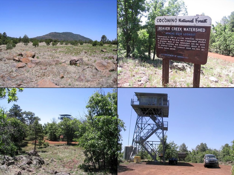
From where Stoneman Lake Road ends at a T-junction with Forest Road 229, I went south on FR-229, signed for the Apache Maid Lookout (and other destinations). The road is gravelled at first, then decent hardpack the rest of the way, sometimes covered in fist-sized rocks which meant I needed to go slow, the flat tire from two years ago still in my memory.
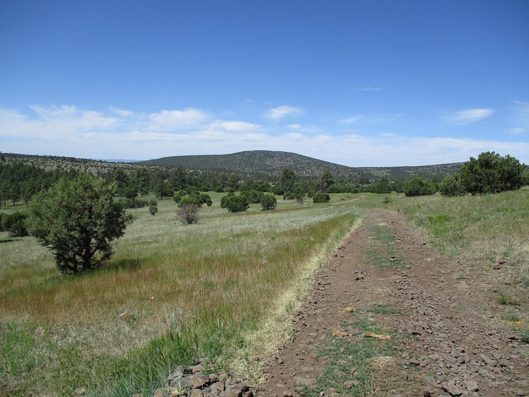
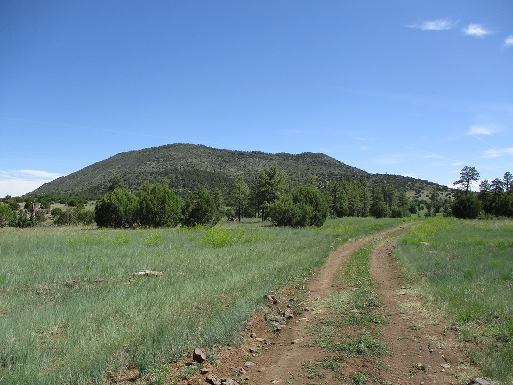
In about twenty minutes I had located myself at the base of Apache Maid Mountain, now on FR-620. There's a parking area and a sign here, and a secondary track, FR-620H, crosses the main road. Hog Hill rises about three miles west and I would follow FR-620H initially.
At first, I tried to drive it, hoping to shave off some distance. I did not get very far, just a few hundred feet. The road is rocky and uneven. It was a case where I could ease the car through the rocks, but I'd be going so slowly, I may as well walk it. So I backtracked and parked under a tree at the parking area. I got myself situated and started walking at 7:20 a.m.. The sun was up but it was cooler here, being about 1,500 feet high in elevation than where I was just at.
I walked FR-620H westbound. It was smart of me to park early because I came upon some stretches of the road that were too rocky and chewed up to drive on. The road drops 350 feet over two miles, to bottom out in a broad meadow at the old Waldroup Place. I had to pay attention to one junction, staying left/straight at a Y-junction a half-mile in, now on FR-9238M. The road became less rocky and easier to walk on. Hog Hill was always in view.
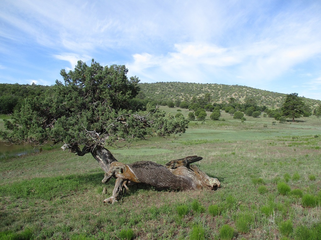
I passed through the Waldroup Place. It's still shown as a private-property insection on the maps but it is clear no one's lived here or ranched it in decades. The road dips into a drainage and through the only thick copse of trees on the whole hike, providing a lot of shade. It also became very rocky, only a Jeep or similar would be sufficient to handle these short sections. It had warmed into the low 70s. It was comfortable, but the insects were just as heavy here as down below. My sinuses were also kicking up like a mule.
The road passes by the foundations of the actual Waldroup Place, and a shed and a couple old artifacts lying about. Then it breaks back into the open, now gaining elevation again, Hog Hill now back in view, I just kept walking until I was near the peak, passing the Waldroup Tank, and finding a rocky track that branched south and up onto Hog Hill's eastern ridge. I took a break in the shade here, then trudged up the track to its apex, placing me about a half-mile east of the top, 200 feet lower.
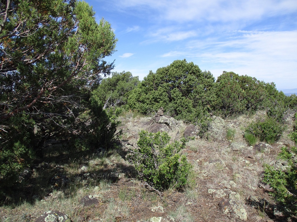
Now hiking off any road or track, I weaved through the trees and brush, which at first wasn't troublesome. About halfway up, the woodier brush closed in, including a lot of holly bush. I had to search for lanes and usually found them, but it was slow going. And whenever I thought I was close, I'd see I still had another 200 yards more to go. I got scratched up here and there. Have I mentioned the insects?
I finally came upon the summit, marked by a simple cairn on its top rock. I found no register but had one in my pack, so I placed it in a cleft at the base of the rock. The views were not bad, where there were breaks in the trees. The best view was south, looking at the cliff walls of the Wet Beaver Canyon. I could also see some of the cliffs in the Sedona area too. I covered about 3.5 miles one way to get here, being conservative, taking about 90 minutes. I stopped and actually sat down for a short snack break.
Rather than mess with the holly thickets, I chose to drop directly off the summit on a beeline toward the road. I could see lanes better and always had options when encountering heavy brush. While steep and rubbly, this route down worked well and I recommend it for an ascent. I was back to the road, and then just needed to walk out the last three miles to my car.
The walk was tedious but easy. Back at the Waldroup Place, a group of cattle were standing in the road watching me. As I would walk, they'd run away, always in the road itself. This went on and on and I wondered if I'd be chasing them all the way back to my car. Finally, they moved in a different direction. The rest of the hike went quickly, me slowing to regain that lost elevation. I was back to my car at 10:35 a.m., which surprised me because it felt longer. The hike had gone well and I pleased, and a little relieved, to be done with the big hike of the day.
Back at the car, I piled in and relaxed for about fifteen minutes, pondering my next move.
Elevation: 7,307 feet
• Prominence: 897 feet
• Distance: 3.5 miles
• Time: 75 minutes
• Gain: 410 feet
• Conditions: Warm, breezy, pleasant
PB
•
LoJ
•
USGS BM Datasheet
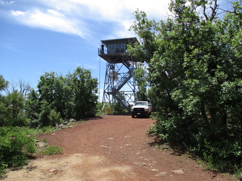
I could have just started my hike up Apache Maid Mountain from here. It would be about a 2.5-mile one-way hike with about 700 feet of gain, all on the road. I had mixed feelings about that. I wasn't up for another hearty hike, so I looked for a middle ground. I drove the road uphill, going slow, parking at a sharp bend in the road at elevation 6,900 feet. This would mean a 1.75-mile one-way hike with 400 feet of gain.
I started walking the road, being passed by vehicles every few minutes, which would kick up a lot of dust. The hike went fine, just a matter of following the road and not falling off to the side. In about a mile, I had reached the end of the driveable road at a gate. A Jeep was parked here and its occupants milling about taking photos. This gate wasn't here back in 2008. I think they don't want people always driving up to the lookout tower. It's still permissable to walk it.
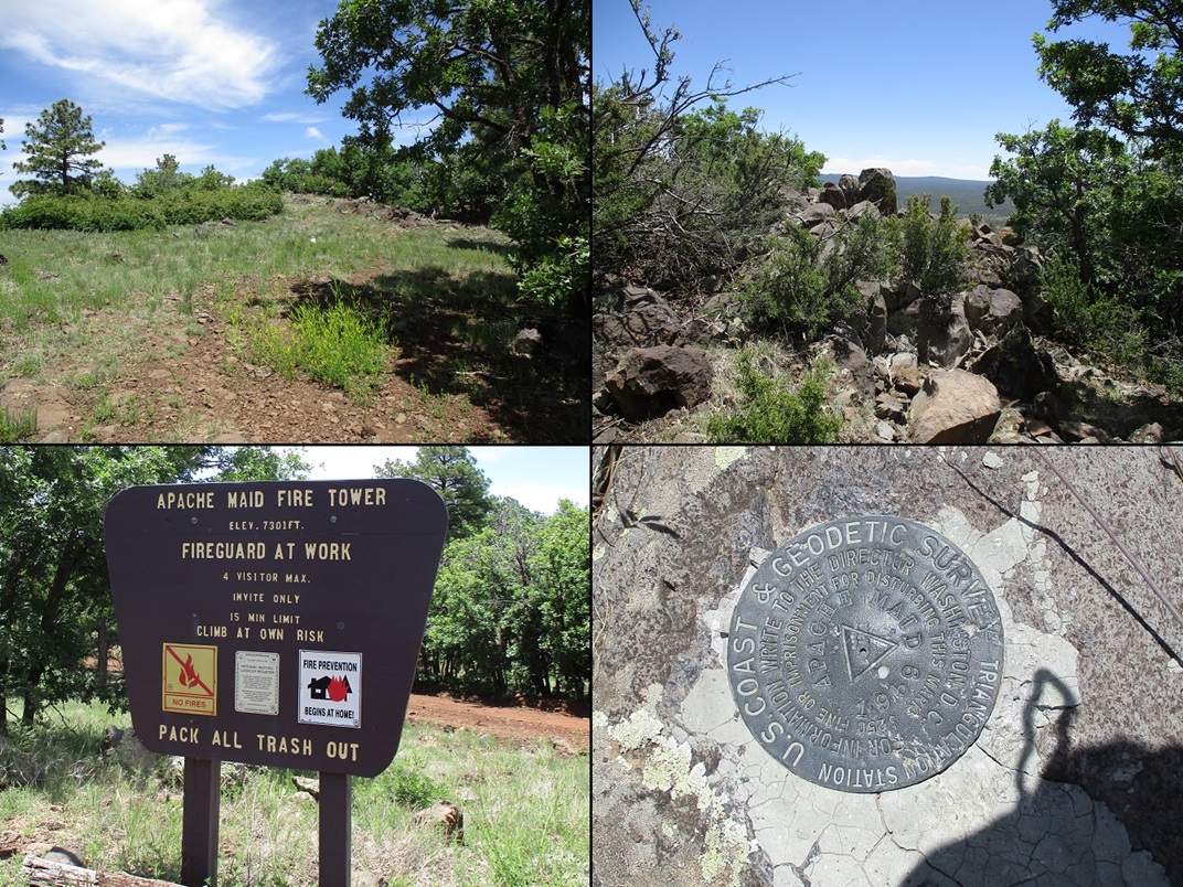
I was on top the peak and at the lookout tower about 45 minutes after starting my walk. It was manned and I could hear radio noise and see a guy on the balcony looking out. He was not taking visitors today, which was fine by me.
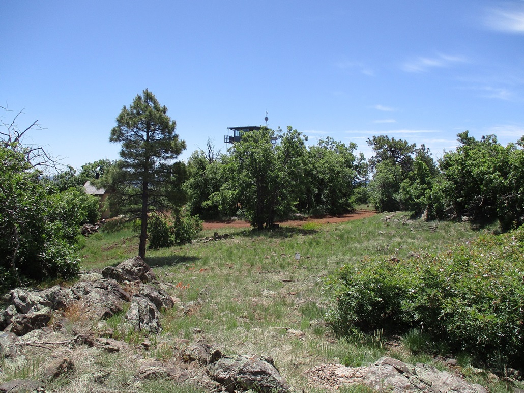
The presumptive summit is north of the last bend of the road, where the benchmark is affixed in the rocks. I walked to it and took a photo. I then walked to the lookout and around its back, scampering up a rock pile, its top rock possibly the highest point too. However, it may not be natural, as the summit needed to be graded to accommodate the tower. These rocks may have been piled up by a dozer.
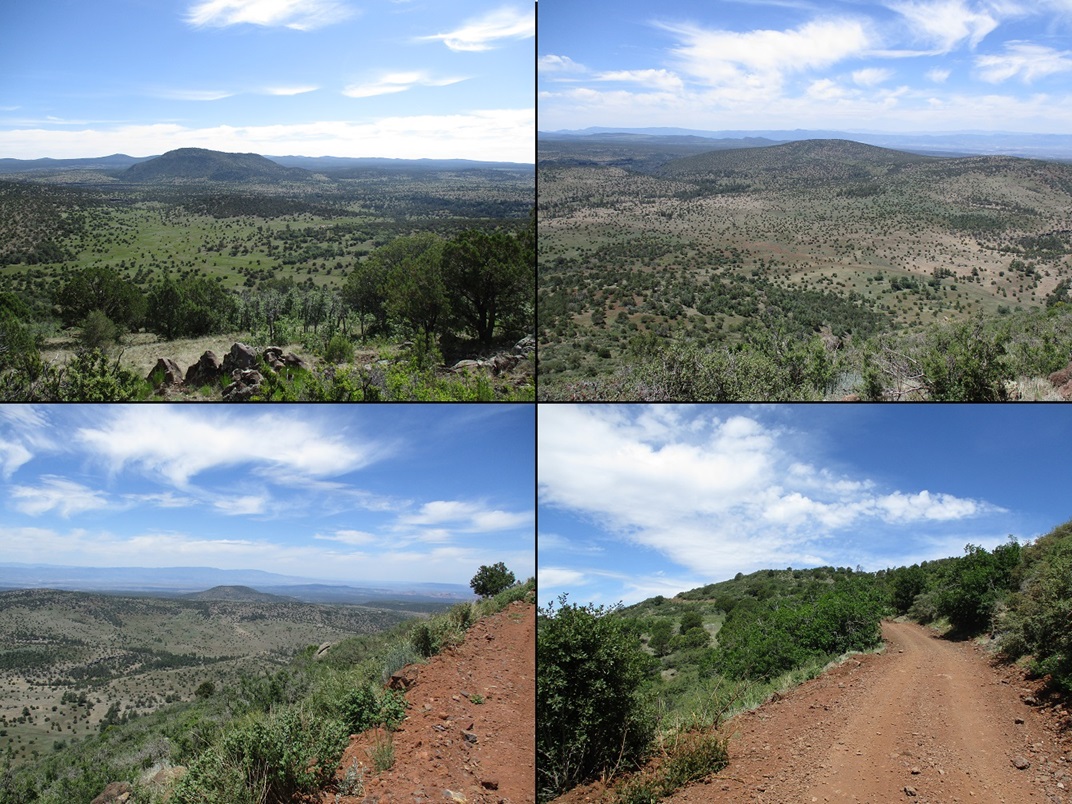
Views were excellent, looking down over the forests and meadows, and of distant plateaus and peaks. I sat for a break at a picnic table, then started my walk back down. Along the way, I snapped more images, having a high perch for good views of the peaks and canyons below.
I was back to my car a shade after noon, roughly a 75-minute hike. I covered 3.5 miles but these were road miles and went fast. I changed into more comfortable clothes and drove down the road and all the way back to Stoneman Lake Road. Decision time. Do I take it back to Interstate-17 and follow that back to the city, or do I go uphill and take Lake Mary Road and follow that via Payson? I chose the latter. I always enjoy driving Lake Mary Road.
The drive went fine, as always. Today being a pleasant summer weekend, there were many motorcycle groups, which is common, I would see them all the time on my drives up here. But the group I got in behind were driving slowly, alternating between 40 and 60 miles per hour, and too spaced out to pass all at once... although that didn't stop a few from trying. This went on for ten miles. Once in Clints Well, I stopped for a coke and a snack, mainly to put some distance between me and them.
The rest of the drive went well, making decent time. I stopped for gas in Payson, then drove back to Tempe, arriving back around 3:30 in the afternoon. It was hot now, about 102 F, and I was bushed. Today had gone well and I finally scratched that Apache Maid itch, plus tagged a couple new peaks to add to the pile. I had put on over 13 miles on the feets today.
|


|