
The Mountains of Arizona
• www.surgent.net
|
| Santan Mountain |
• Highpoint: Santan Mountains • Gila River Indian Reservation • Pinal County |
|
Date: February 5, 2017
• Elevation: 3,104 feet
• Prominence: 1,589 feet
• Distance: 8.4 miles
• Time: 7 hours
• Gain: 1,530 feet (net gain, 1,900+ feet gross gain)
• Conditions: Clear and cool at first, warmer with high clouds later in the day
• Teammates: Southside Slim & Death Row Johnny
Arizona
•
Main
•
AZ P1K
•
PB
•
LoJ
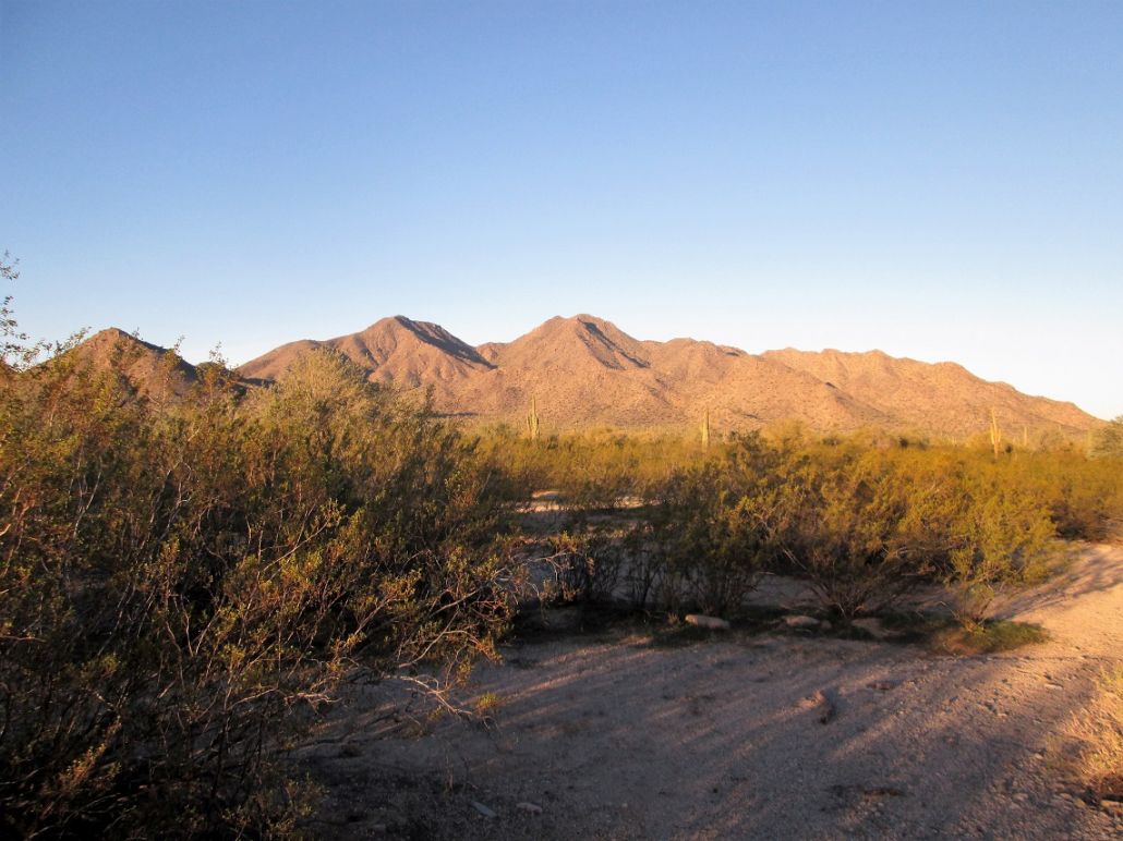
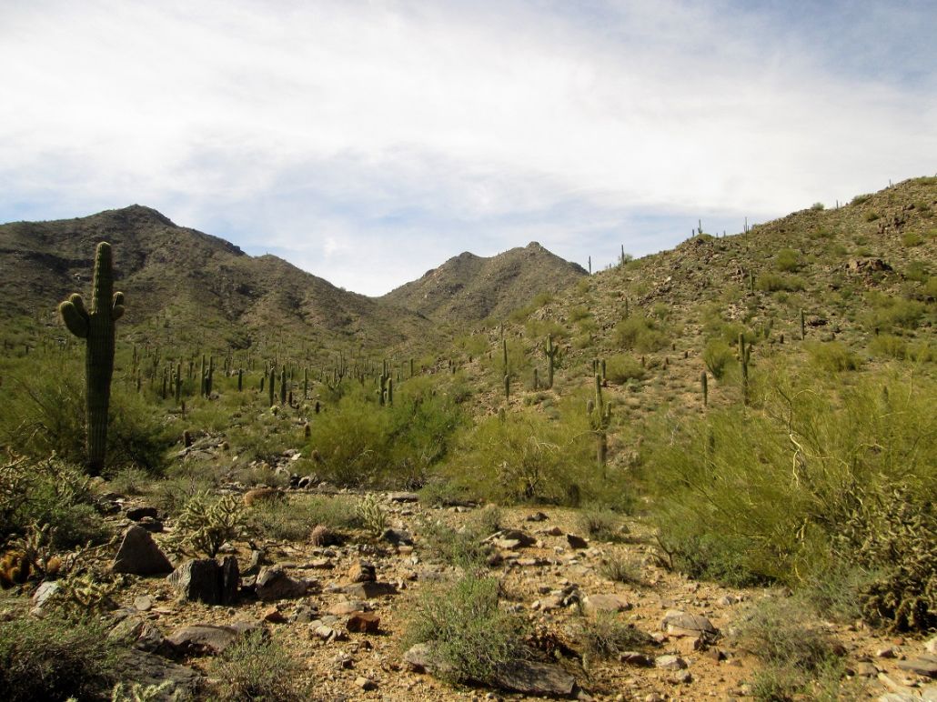
Santan Mountain rises high above the suburbs south of Chandler and Gilbert. It has over 1,500 feet of prominence, but because it lies on the Gila River Indian Reservation, access is limited, by which I mean not allowed. There is no trail to the top, so it's not one to be done quickly. We chose to visit this peak on Super Bowl Sunday, figuring that most everyone will be glued to their televisions and that we could be on and off the restricted land without too much attention being paid to us.
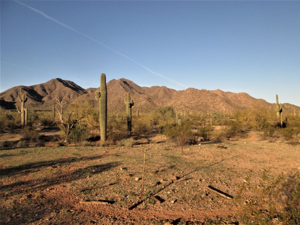
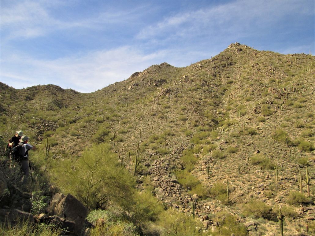
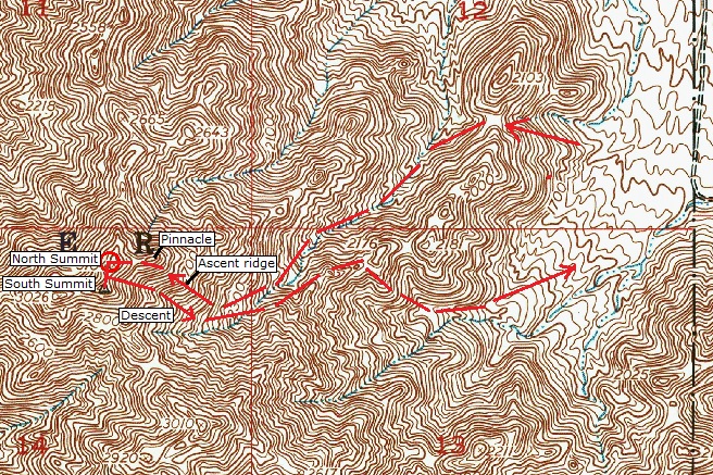
We parked east of the peak and followed trails, old roads and cross-country for a couple miles through low hills and flat desert plain to situate ourselves on the east base of the mountain. The summit is visible, and off it are three visible ridges, one going north, one going south, and another going east, then bending northeast. This last ridge is the one we would encounter first.
We decided to climb an easy slope to a saddle south of a pointed peak along this ridge. We gained about 300 feet to the saddle, then stopped briefly on the west slopes, overlooking the main "northeast" drainage below us. After a break, we started down the slopes into this drainage. I left my expensive sunglasses lying on a rock and had to go back up to get them. In the drainage, we hiked uphill, aiming for a saddle south of the peak way off in the distance.
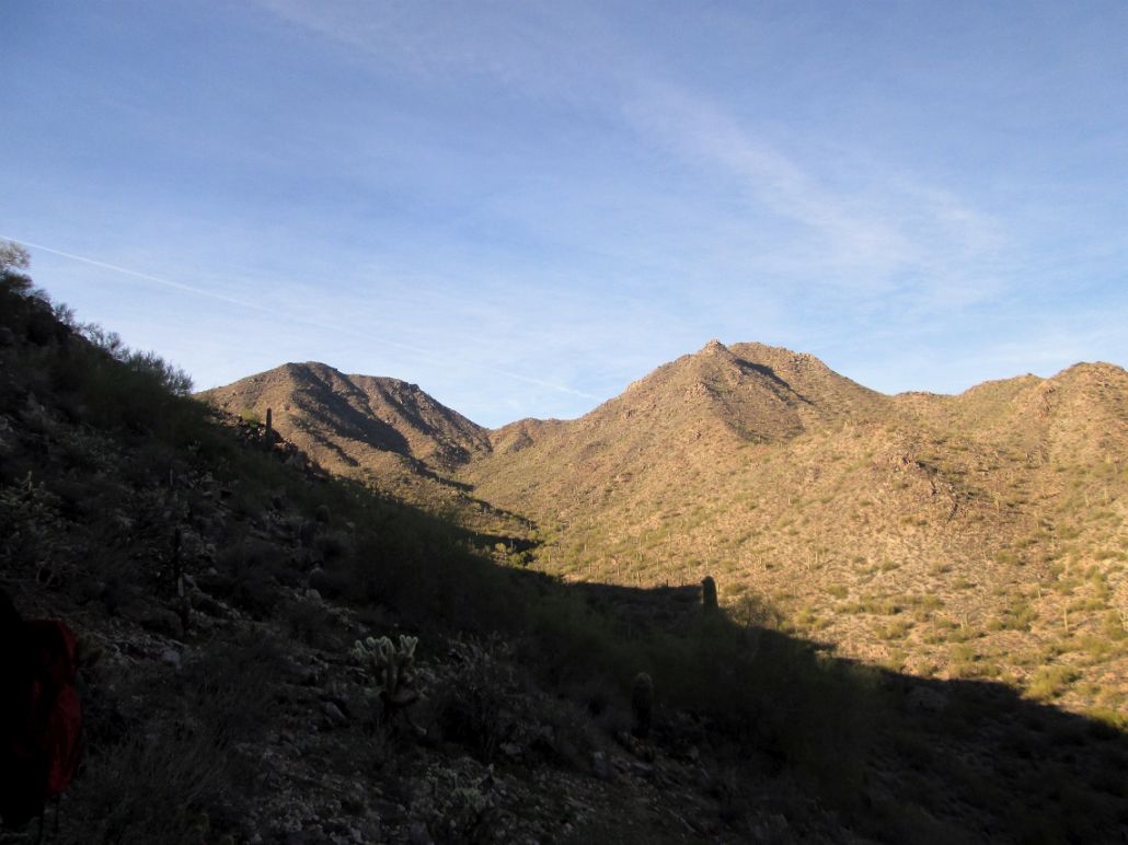
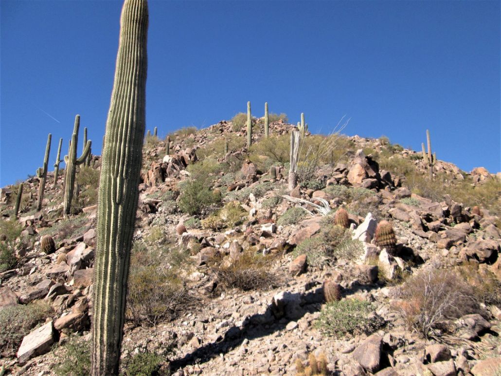
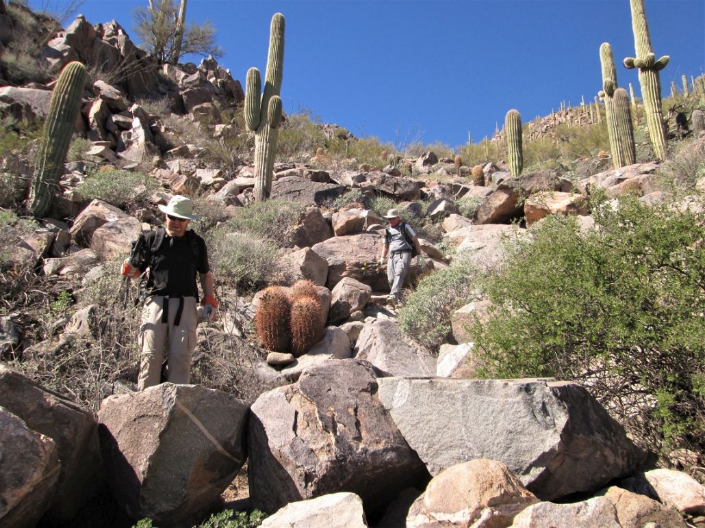
The hiking was easy, but tedious and laborious as we walked over big rocks or into and out of the drainage as necessary. We encountered brush and cactus, but it was never too thick. In about 30 minutes, we had gained about 500 feet and were well deep into this drainage, now due east of the summit, which, for now, was invisible behind a foreground slope.
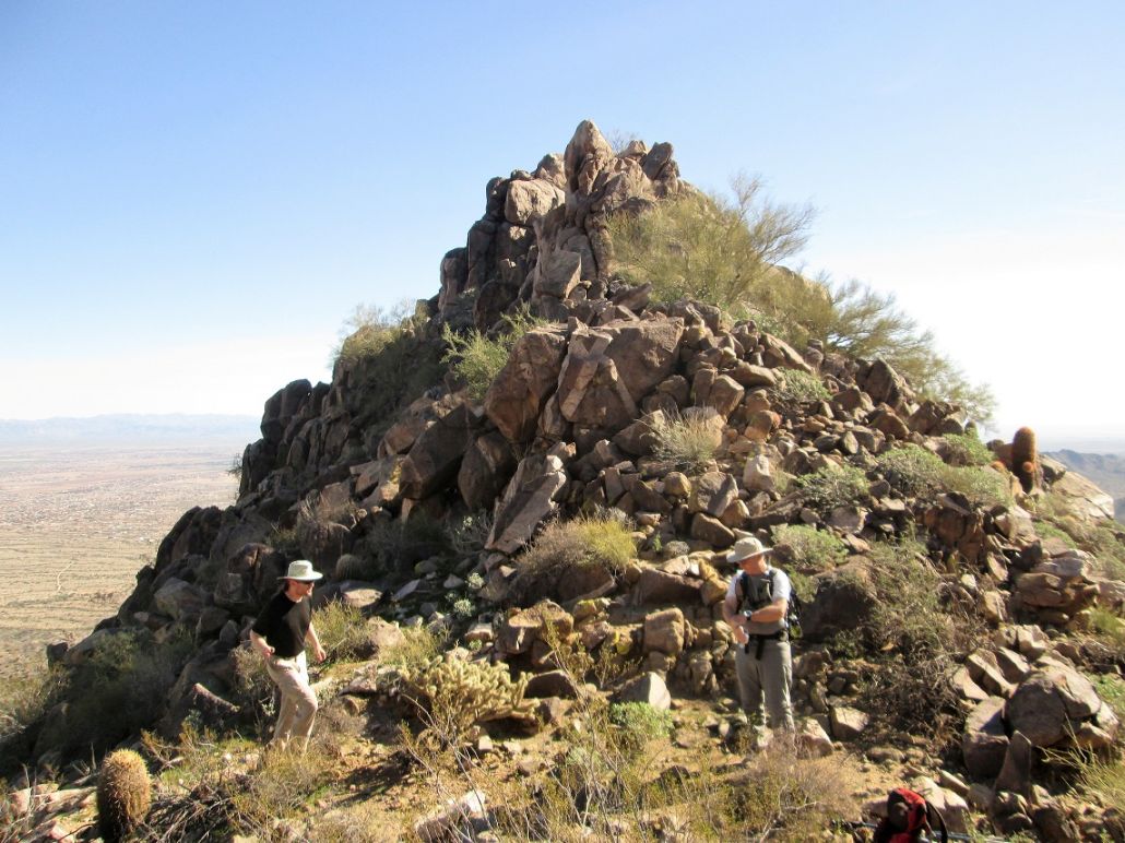
The lay of the land essentially funneled us upward onto a steep ridge, which was topped by a rocky pinnacle still way up there. I was in the lead, so I became the de-facto route-finder, while one of the other guys would occasionally report our status from his GPS. We were close mile-wise to the peak, within a quarter mile, but still many hundreds of feet below it. The uphill was steep and rocky, but the rocks were solidly set. We angled left of the pinnacle, sidehilling as needed, until we had achieved a small saddle west of the pinnacle and east of the northern summit bump, the one marked "3104" on the topographical map.
The guys gave me a hard time for this route, but it worked. I agreed that it was a chore, but it didn't present any cliffs or climbing worse than Class 2. It got us to where we needed to be, so in retrospect, it was a good route. Some might even say the best route ever.
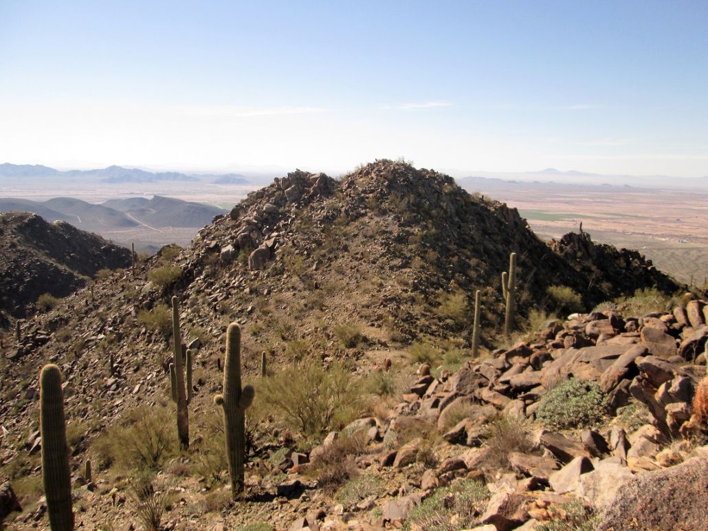
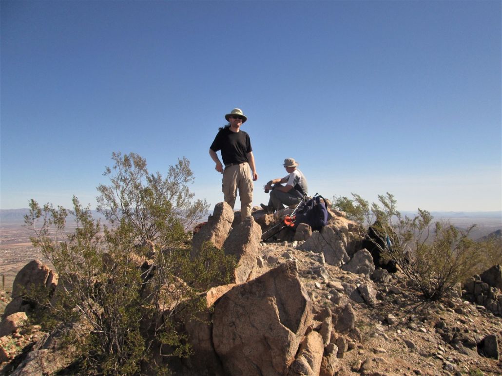
From the saddle, we walked up easy slopes to the north summit, then sighted to the south summit about 500 feet away. It was higher. We walked south off this northern bump and up to the southern summit. Three and a half hours after starting, we had achieved the top of this challenging peak. We took a long rest here, the weather clear and pleasant with no breeze.
The summit itself hosted a stupid geocache. The register was a couple scraps of paper in a pill bottle with no pencil to sign in. There was also a small carabiner and a toy tank among other little items in this geocache. The benchmark seems to have been removed. We found a witness marker, but it was scratched up and essentially unreadable.
Afterwards, I studied the data sheet from the USGS website. It mentions that the summit is 3,104 feet elevation according to their measurements. The map puts the 3104 marker on the north summit, but this may be an error. The south summit is definitely higher. Even guys from a hundred years ago would have known this when they put in the markers. Also, the range is called the "Chiloscome" Range in the early data sheets. I could find no other references to this name elsewhere.
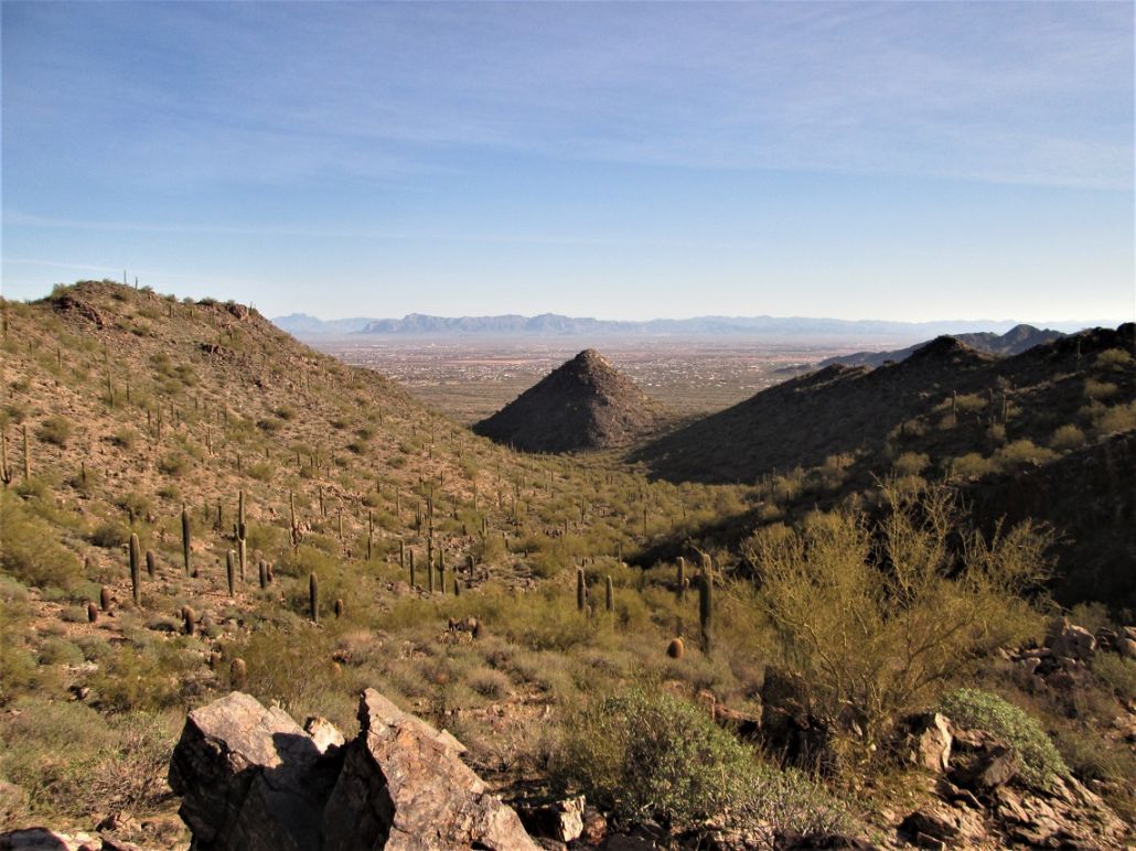
From the top, we had clear skies and could make out peaks as far south as Kitt and Coyote Peaks (but not Baboquivari), then sweeping south to north via the east, Mounts Lemmon, Graham, Turnbull, Pinal Peak, the Superstitions, the Mazatzals, and more. Out west we could see Gu Achi, the Silverbells, Table Top, Sierra Estrella and dozens of other smaller bumps. There was haze on the farthest horizons. We spent 30 minutes up here.
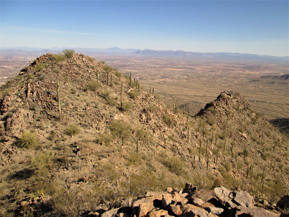
Going down, we decided to descend the slope between the south and north summits, on a line parallel and slightly southwest of our ascent route. This worked well. We used gravity to our advantage, the rocks were usually set solidly, and we could butt-scoot down sections quickly. We lost about a thousand feet fairly quickly, then cut across the drainage bottom to situate ourselves on a saddle on the outer ridge, the same one we had to ascend and descend earlier in the hike. Here, we were a little south of where we had hiked in. We could see the route better from higher up, so we knew this would work well.
The hike back across the desert flats and back to my vehicle went well. Our total time on the hike was 7 hours, covering 8.4 miles with over 1,900 feet of gross gain. Despite the rugged nature of the peak, we moved efficiently and I was a little surprised we were out so early.
This is one of those peaks that I see everyday and now can feel satisfied that it's now completed, and I no longer need to worry about it anymore. It was a hard, challenging but straightforward climb, and we tried to leave the place as clean as we found it.
|


|