The Mountains of Arizona
www.surgent.net |
|
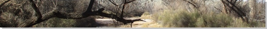
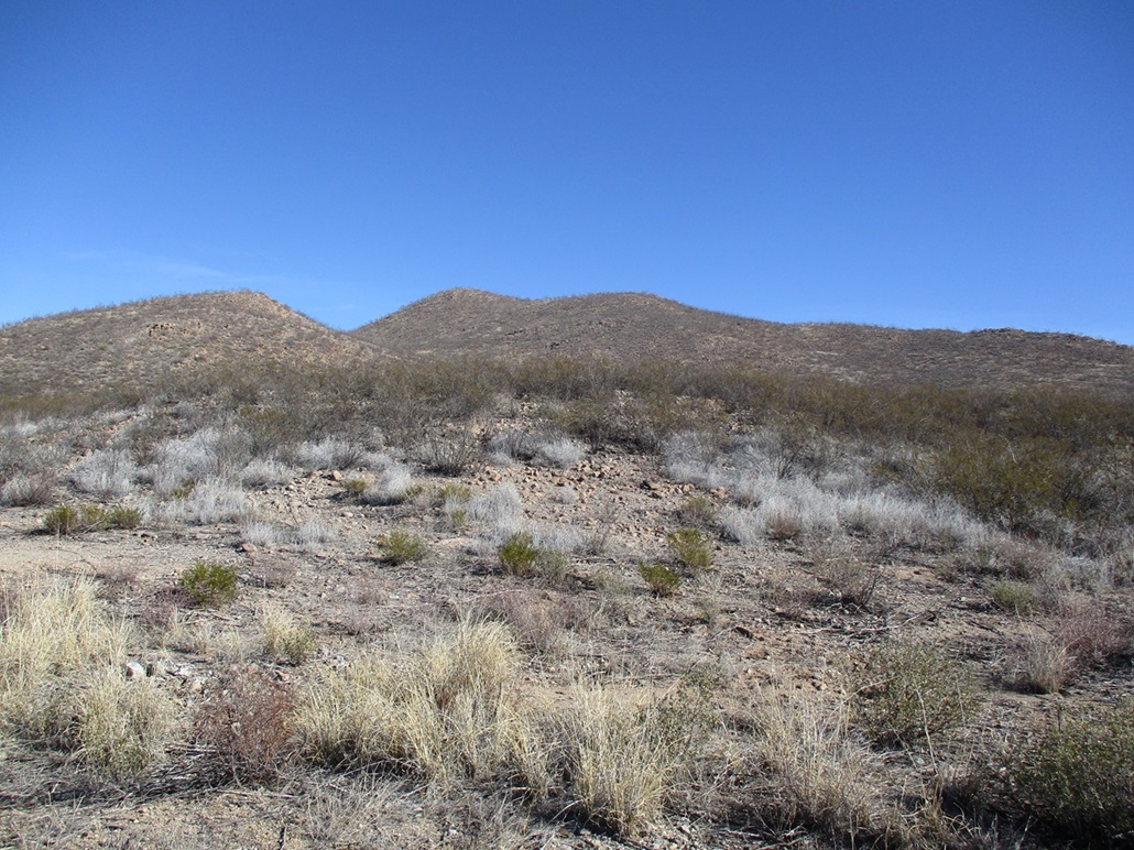
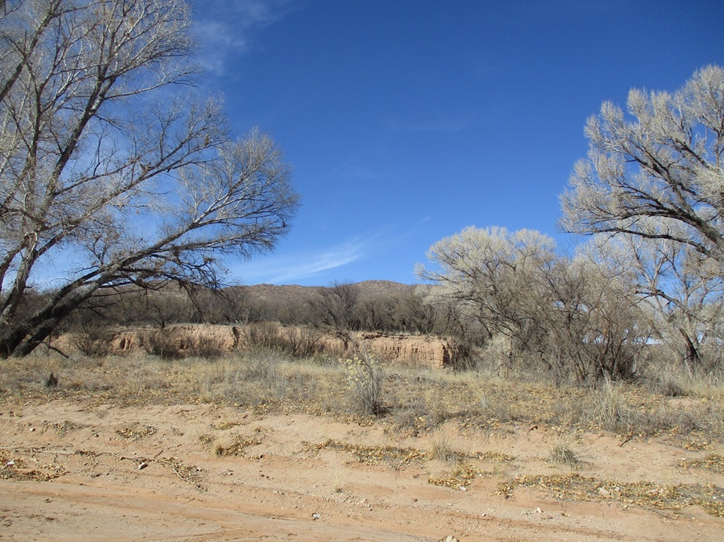
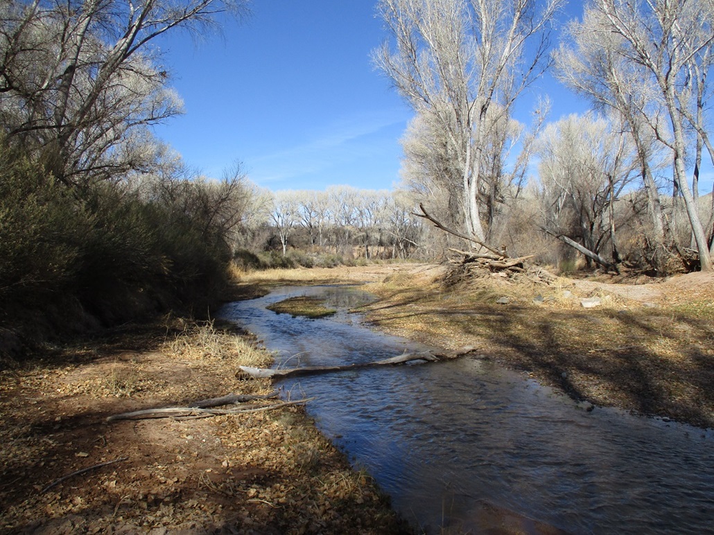
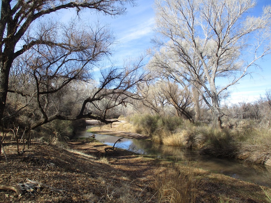
Peak 4395 • Peak 4568 I returned to the San Pedro River Riparian Area, twelve days after coming here to hike a couple of peaks near the old Charleston ghost-town site. Those two peaks rose east of the San Pedro River. Today, I wanted to hike to the two peaks that rise west of the San Pedro River. These hills lie within a ribbon of land called the San Pedro Riparian National Conservation Area, managed by the BLM. The Riparian Area encompasses the San Pedro River and very roughly a mile to each side as it flows northward. The San Pedro is one of Arizona's major rivers but not as well known as the Gila, Salt or other more famous ones. It flows year round, even in summer. The BLM has done some development here with trailhead parking and some trails that front the river and others that go higher into the hills to the old townsites or other ruins. Big gorgeous cottonwoods line the river and can be very colorful. Even when not, hiking through them is enjoyable.
Date: December 31, 2023
• Elevation: 4,395 feet
• Prominence: 335 feet
• Distance: 3.4 miles ascent, 0.3 mile descent
• Time: 90 minutes for the ascent, 10 for the descent
• Gain: 480 feet (gross)
• Conditions: Sunny and clear, mild
Arizona
•
Main
•
PB
•
LoJ
•
Interactive map
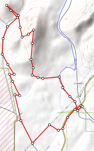
I left Bisbee around 9ish and followed state route AZ-92 down to Palominas, then north on Palominas Road to westbound Hereford Road, then north on Moson Road to Charleston Road, which placed me a little west of the river.
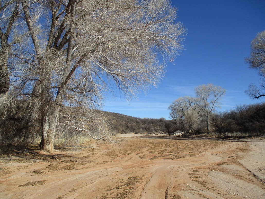
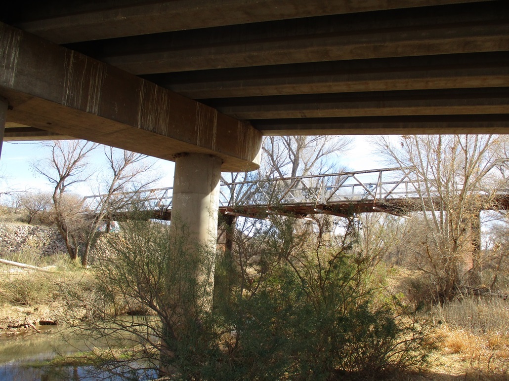
Studying the maps last night, it appears there are roads or tracks on this western side of the river that I could use to help get close to the peaks, but there is no trailhead parking on this side. I hoped to take one road in that appeared to connect to Charleston Road on the satellite image. But when I got to it, I saw no such road. It had likely been bermed over and otherwise worked on to discourage vehicles. So I drove the extra half mile and parked at the lot on the south side of Charleston Road, near the older bridge that crosses the river. I got dressed properly and started walking about 9:30 a.m., weather mild and sunny, temperatures in the mid-50s.
My plan was to somehow get to some power lines that I could see north of the main road. There is a track that runs underneath these lines that connects to another track that goes north a couple miles to the peaks. I crossed over the river using the old bridge, now maintained as a footpath. I then crossed Charleston Road and saw a green metal gate just west of the bridge. This looked promising, so I went in, followed a track a couple hundred feet, and then got hemmed in by dense trees and brush.
I tried a few paths that would invariably peter out into nothingness. I tried barging through the brush but that was impossible. It was thorny mesquite and acacia, and other woody scrub that was not amenable to being pushed aside. I was able to bash and squeeze through some brush to get to a broad river channel, where I could see the power lines not more than 200 feet north of me. But this river channel (a tributary into the San Pedro) had cliffy bluffs 20 feet high and no easy way down. I gave up and returned to the gate, then walked Charleston Road a little bit west unil the worst of the trees ended, and I could find somewhere to cross the fence.
I crossed the fence pretty much at a random spot, only because it looked like the wires were loose enough to allow me to step over them. This put me into more heavy wooded brush — the same kind of mesquite and acacia crud I had just battled with. I was able to find some lanes that fed me down into the river channel, which was dry. I crossed it and scampered up the other side, into more of this thorny brush. I was getting scratched and poked consistently. I was able to push my way through this to the power lines, where I found the track. It was a relief to be on this track and out of the thorns. To here, I had been hiking and cussing for over a half hour with very little to show for it. I was still a couple miles south of the peaks.
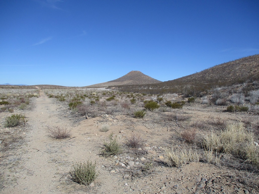
I followed the power-line track west, then found the track that went north, just like what the satellite image showed. i followed this track, which was unkempt and very brushy. It clearly has not been driven on in decades. Segments were severely eroded, with ditches five feet deep. I continued hiking, coming close on my left to a beautiful wide maintained gravel road on the other side of a fence, not more than fifty feet away. However, this was on the Fort Huachuca property and I did not want to take my chances trespassing on the military land. But yeah, it was tempting to follow that road north and not the brush-and-rut fest I was on.
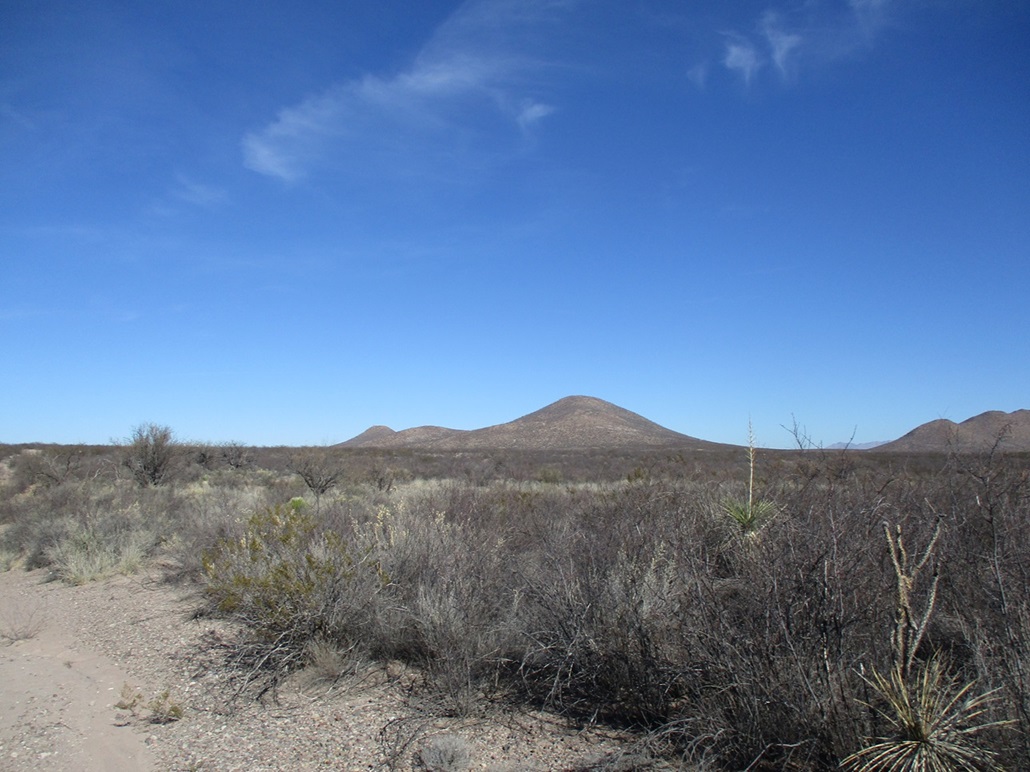
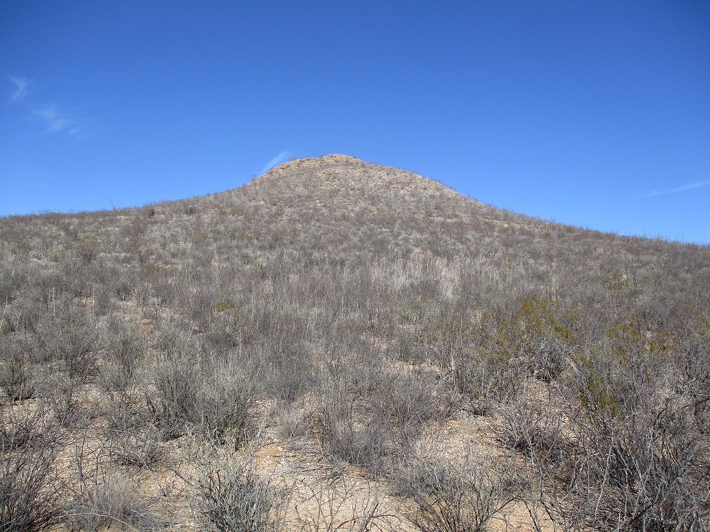
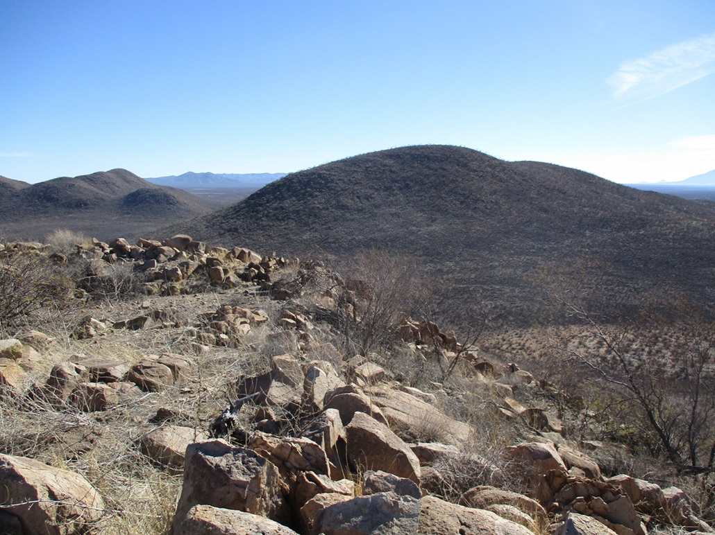
My track dropped into two successive river channels, one called Graveyard Gulch. By now, the track was imperceptibe and in some places completely gone. Once past the second channel, the brush, thank god, lightened up a little. I followed my track as it aimed for the first peak on my agenda, Peak 4593, called "Bivouac Peak" on List of John. I passed through a wide area where the brush had been cleared. There were some simple concrete bunker-like structures laid out in the area, obviously some sort of training area. But according to my map, I was not on the military property. There was no one else around so it didn't matter.
I was close enough to Peak 4593 to leave the track and walk across easy cross country to the saddle below the peak. Here, the brush closed in again. The hike uphill wasn't difficult, but it was brushy. It was typically steep, with rock-strewn slopes. The little ones wanted to roll with each step. The bigger ones weren't always as solidly-placed as I would have liked. Even some very big ones, rocks six feet across, teetered as I put my weight on them.
The uphill was short, and I was on top the peak, somewhat surprised to see it had only been 90 minutes since I left my car. There were no cairns or registers. I tagged the top rock and took a couple photos but didn't stick around. Not even the peak-bagging legends bother with this peak. List of John shows just two previous visitors, the last before me being in 1992. Was I really the first person here in 31 years? Probably not, but I expect that not more than a handful of people have hiked this peak. And I could see why. It's nothing special and the brush to get to it would turn back more sane-minded individuals.
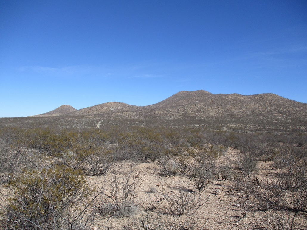
I hiked down back to the saddle. Conveniently, my next peak, Peak 4568, was right across the way. So I immediately started huffing and puffing up its slopes.
Elevation: 4,568 feet
• Prominence: 488 feet
• Distance: 0.3 mile for the ascent, 1.8 miles for the descent, 5.8 miles total
• Time: 20 minutes ascent, 1 hour descent
• Gain: 510 feet
• Conditions: Still lovely
PB
•
LoJ
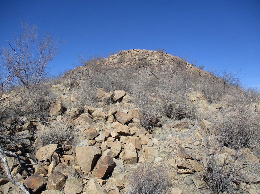
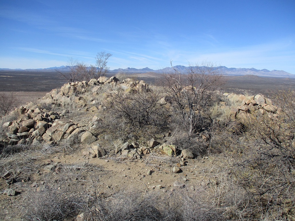
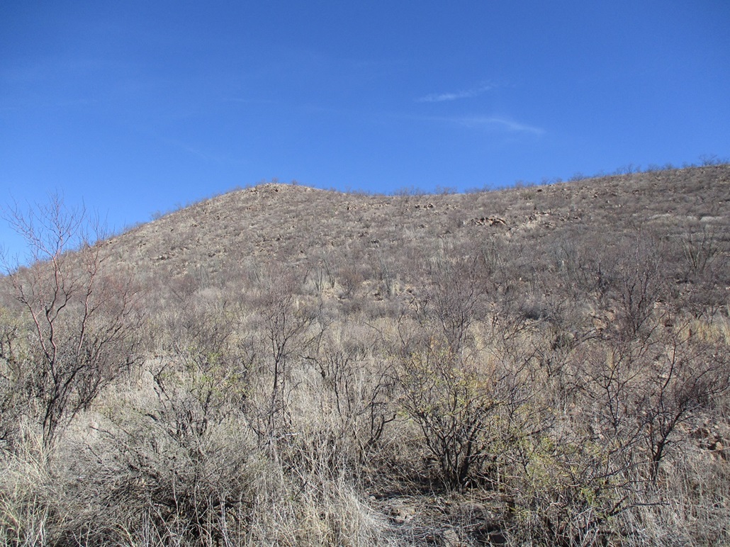
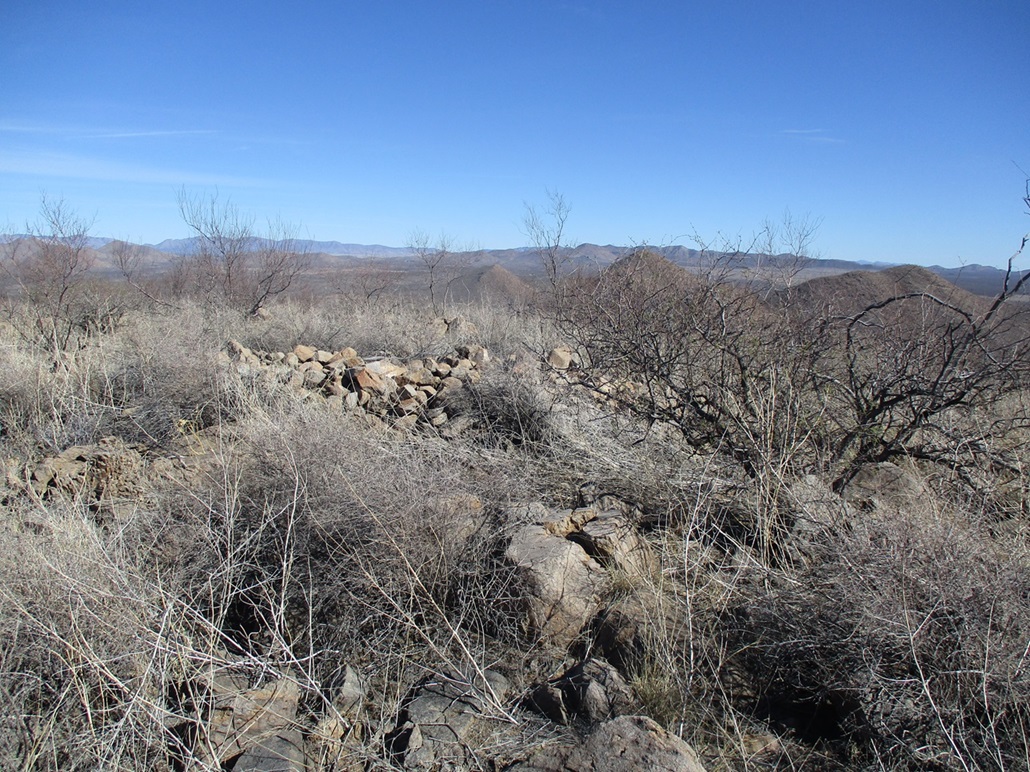
I followed a shallow slope, choked with brush of course, to a saddle about 200 feet up, then angled left and up about 300 more feet of slope to the top. The brush lightened a little toward the top, which was broad and gently rounded. The very top is a big spread-out pile of rocks, but I found no cairns or registers. It was brushy and not particularly attractive.
I did not spend long here, just enough to time snap a couple photos and look around. I then started down. Instead of retracing my route, which I did not enjoy, I chose to decend the peak's long south-trending ridge. I could see from up high how the river channels lay out relative to one another, and I thought that walking them out, instead of brushy tracks, would be much more interesting and fun and probably less thorny.
The descent took about 40 minutes and was tedious, rocky and brushy. I just aimed for the nearest channel. The brush thickens alongside these channels. I wasn't thinking too hard. I just dropped into the first sub-drainage I found and hoped it would work, and it did, much to my relief. It fed me right down into the channel, this one being the same Graveyard Gulch I was on earlier.
Now I was walking in a wide channel with soft sand and nary a thornbush to poke me. Cottonwoods rose grandly on the sides. I walked one channel into a larger one, then I came to the actual San Pedro River itself. I found some footpaths amid the layer of leaves fallen from the trees, as well as bootprints, so I knew I was close to the finish. But I did not rush things. I was enjoying the big trees, the sounds of the river, the grass and leaves, and the scenery.
I then started to hear voices and see people, then I heard a car and then saw the bridge ahead of me. I hiked under the main bridge, then up the hillside to get me back to the pedestrian bridge and back to my car. It was pushing 2 p.m. now, and I had been hiking a little under 4 hours. I was glad to be done and finished, and appreciated the final half mile was through such lovely river scenery. It felt like I'd been hiking for 8 hours.
I went into Sierra Vista to run a couple errands, then followed Charleston Road east again to Tombstone, then following the highways back to Bisbee. I am always happy to be successful on any peak, but these two were not terribly enjoyable or scenic and I don't recommend them as destinations, as there are better options nearby. I would not hike them when it warms and when the brush gets greener. It was bad enough today, but when that brush fills out, it will be nearly impenetrable. Those thorns are nasty!
These were my last peaks for 2023, which had been a fruitful year for me peak-wise. I climbed 155 ranked summits in 2023, by far my biggest total in any one year, and almost 60 more than I had hiked in 2022. I don't expect to maintain that kind of pace, and am appreciative I could still hike them at my advanced age. Like everyone else, I am always kind of happy to see any particular year end and hope that the subsequent one is better, whatever that may mean.
|


|