The Mountains of Arizona
www.surgent.net |
|
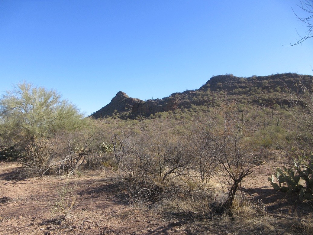
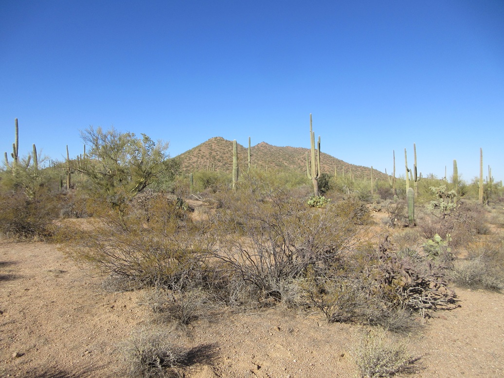
Peak 2614 • Peak 2680 I was here last week hiking two peaks within these hills, and I returned today to look at the other two within this clumped quartet of peaks. I was on the road earlier than usual, a little after 6 a.m., still dark, and barely lighting up in Benson, where I stopped for gas. It was clear but very cold, about 20° at the moment. Highs were expected to be in the high 50s in Tucson, so this cold was just temporary. The drive through Tucson went well, just a little traffic but no stoppages. I exited at Avra Valley Road and followed that ten miles east to Trico Road, then north to El Tiro, repeating the same route as I followed last week. I even took the exact same dirt tracks once inside the Ironwood National Monument. This time, I followed another track west from the corral, and it worked out well. It was narrow with some leans and ruts, but no big rocks. I got in about a mile and parked on a bluff south of Peak 2614, and east of unranked Peak 2490.
Date: January 21, 2025
• Elevation: 2,614 feet
• Prominence: 434 feet
• Distance: 2.2 miles
• Time: 45 minutes
• Gain: 440 feet
• Conditions: Sunny, clear and calm
Arizona
•
Main
•
PB
•
LoJ
I was walking a little after 8 a.m., sunnier now and warmer, but still quite chilly, in the low 40s. I walked north through open scattered brush (the usual), and soon came upon a drainage with a sandy tread used as a de-facto road.
I walked this drainage a ways, then found the real road, the one shown on the map. I got onto this road, then fifty feet later, left it, now on the lowest slopes of Peak 2614.
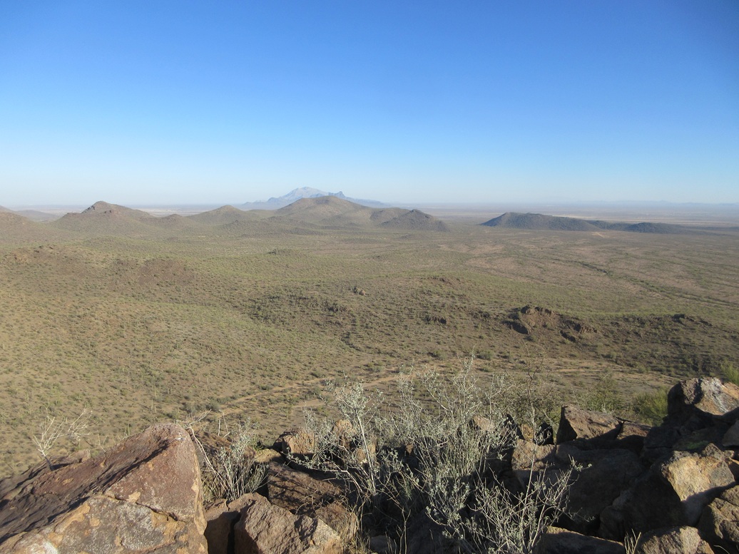
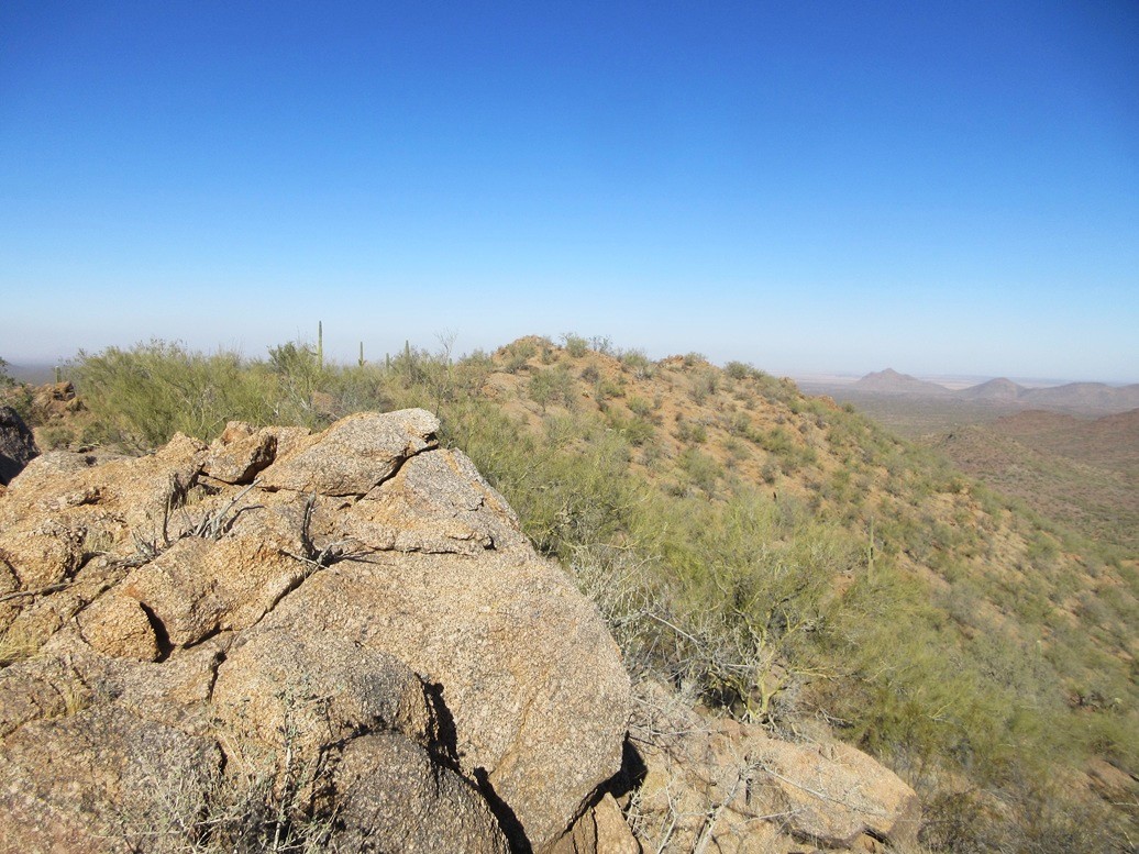
Peak 2614 was now visible, a rocky spire-like peak about a half mile to the north. I walked up the lenient slopes, following game paths, to place me on the ridge south of the peak. I had been in shadow up until now, but back in the sun, the warmth felt nice.
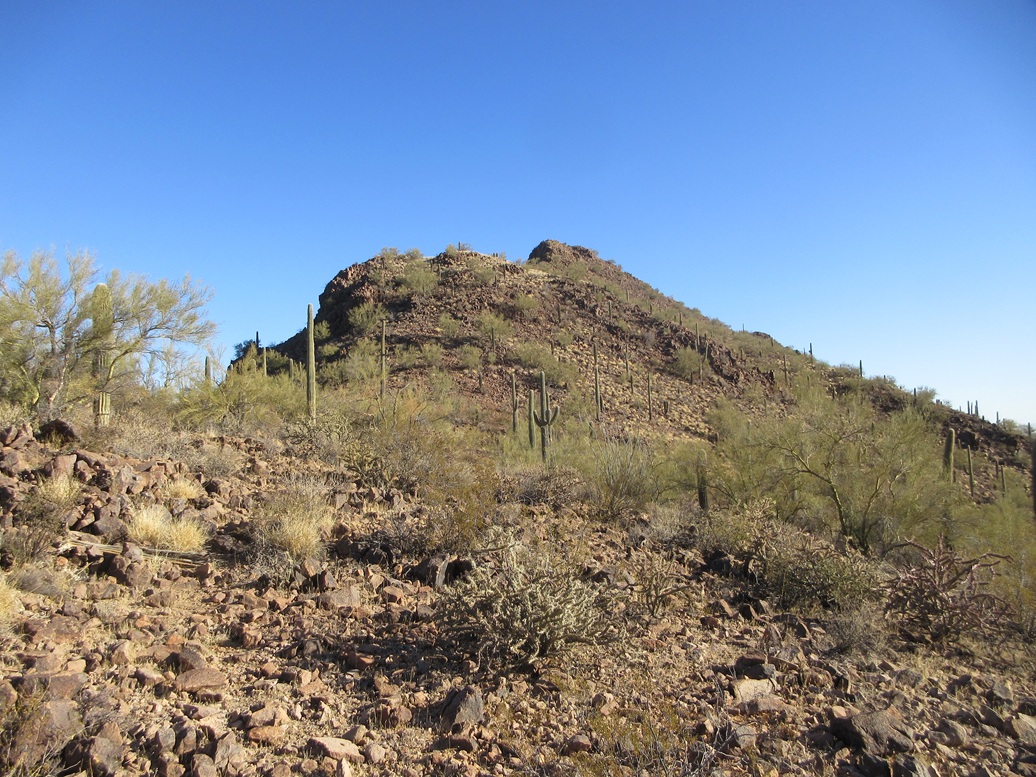
The peak was easily visible, and the rocky ridge leading up to it as well. The route was plainly obvious, it was just a matter of how tricky would the climbing be.
The first rocky slope was steep but easy, with a path for much of the way. Brush was light and scattered. I marched upward, the ridge narrowing and becoming rockier the farther in I got.
About a hundred feet below the top, I could see exactly what I was in for. The summit is rocky with cliffs, but the rock is heavily fractured and often heaped so that clambering up and over them was easy. I was still doing this mostly by walking and using my trekking poles.
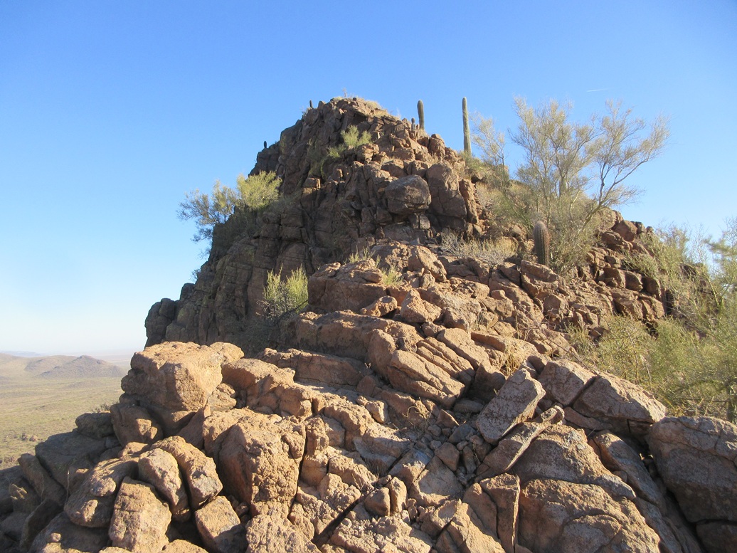
About 50 feet below the top, I took off the backpack and stashed the poles. Hands would be needed from here on up. At first, I walked the rocks, using hands for balance. I came to a jumbled ledge and went right. I had to work around one rock to get into a tiny chute. This maneuver was not difficult but it was slightly exposed and required some thinking.
Now in the chute, the rock formed steep steps and I was able to get up these with no trouble. The slope then leaned back and within moments, I was on the rocky summit.
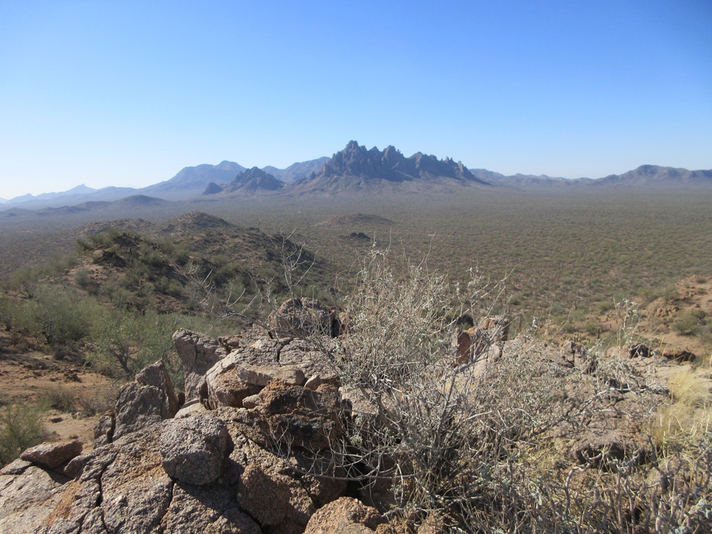
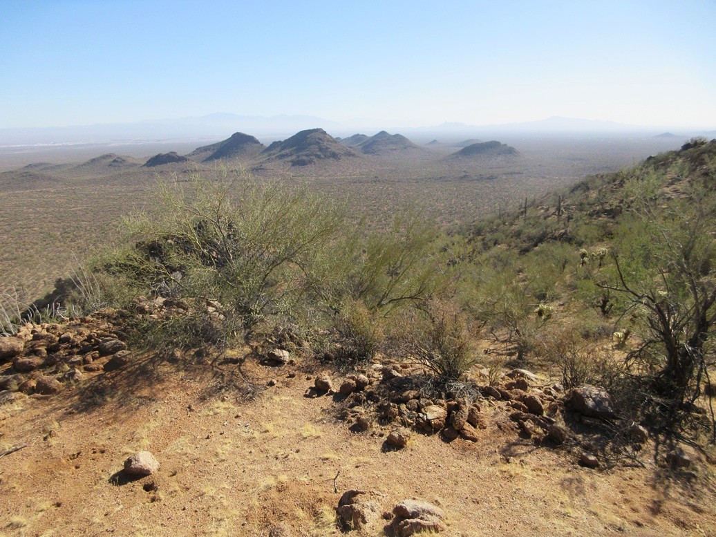
Views were fantastic, the day being dry with no clouds and low humidity. I found a register and signed in, and snapped a few images. It had taken me just a half hour to get here, covering a little over a mile.
I did not want to spend too long up here, preferring to get down while I remembered what to do. The downclimb went very well, using my long limbs to get from rock to rock. I was soon back to my pack and poles, got them on, and started down back to the road.
I was quite happy to be successful on this little peak, the scramble being unexpected and with just enough air to get my attention. It was just Class 2, and that awkward "get around" move was maybe Class 3.
I had plans to hike the next peak over, Peak 2670, but from this side, I did not like the massive cliff that took up its entire east face. There appeared to be some options to the right or around back, but I decided to skip it. I was on a schedule and did not want to use up too much time on this one peak.
Instead, I went to the next peak to the west, Peak 2680.
Elevation: 2,680 feet
• Prominence: 340 feet
• Distance: 2.4 mile
• Time: 1 hour, 15 minutes
• Gain: 470 feet
• Conditions: Same
PB
•
LoJ
I followed the road west, then northwest, Peak 2680 rising to the west about a mile. I drove until I was due east of it, trying to park on something elevated so I would see my car easily on the hike out.
I walked about a half mile across the desert flats, which weren't that flat. It all sloped upward ever so slightly, with many small arroyos between the soft ridges, these all emanating off of Peak 2680. I was at its base within fifteen minutes.
From below, the summit is not visible, and I did not overthink it for now. I just started up a slope, the first one that felt comfortable. I generally angled right and up, circling around a lower slope in the process.
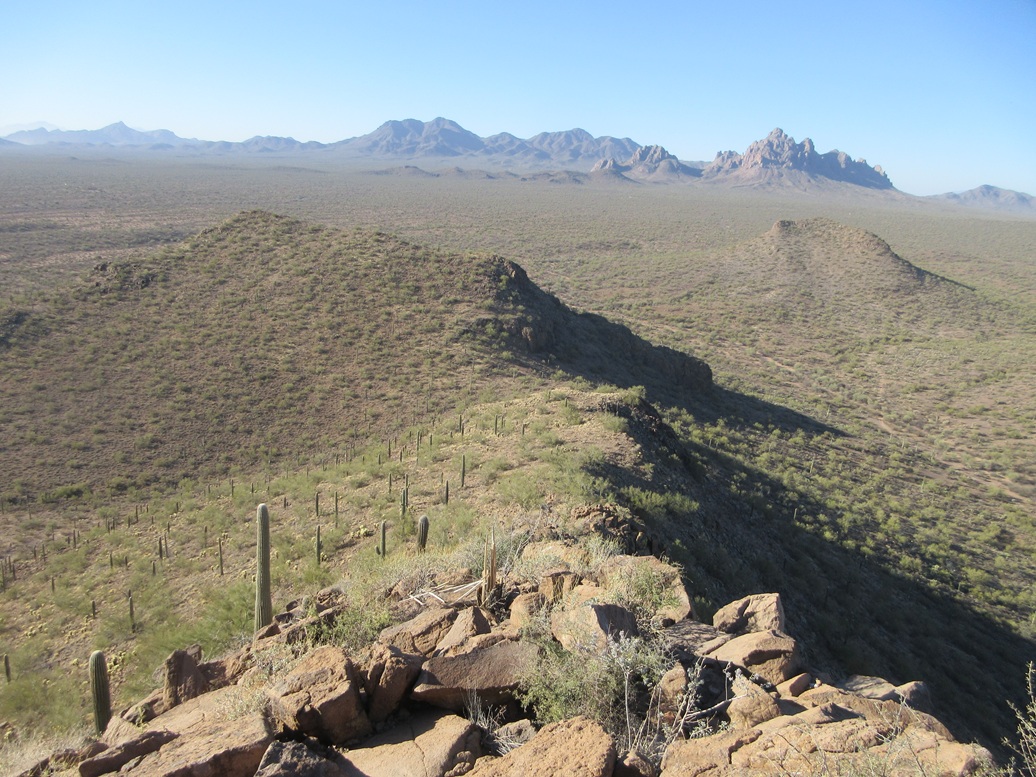
The terrain here was more gravelly than over on Peak 2614, and looser as a result. I was aiming for a ridge about 200 feet above me, to the left of an obvious peak on the skyline. I assumed this was the summit, but it was not.
I found a slope covered in this very low moss-like plant that acts as a carpet, and helps keep the tread stable, even forming little steps. I walked up these, trying to take advantage of any path, rock or step I could. It was loose at times but never uncomfortable.
I was soon on the ridge, some well-defined game paths higher up helping a lot. I then walked up to the peak, thinking I was done, only to discover it was not the highest point. The highpoint was another couple hundred feet away, maybe five feet higher. I was there quickly.
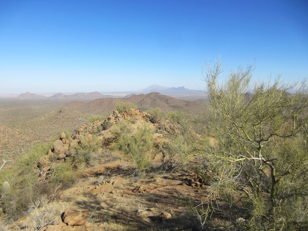
The top was rocky and unexciting, but the views were good, similar to what I had over on Peak 2614. Like before, I rested briefly, snapped a couple photos, then started down.
I followed essentially the same slopes down, not exactly the same but close enough. The downhill went well, just requiring me to ensure my feet were on solid ground, not on gravel ready to roll. I was soon onto the flats and back to my car, which I found with no trouble at all.
This hike had gone well and was a fine second choice after skipping Peak 2670. In fact, from this side, I saw slopes that looked far friendlier for an ascent up that peak. Now I have a plan for later.
It was close to 11 a.m. now and I needed to get moving. For the drive out, I followed some other roads, these shown faithfully on the map, placing me onto a gas line road, then onto the main road, which I followed back out to civilization. All of these secondary roads were Subaru-capable. The worst stretches involved leans and ruts, but never rocks of any size.
From here, I got onto the interstate and took that into Tempe, arriving about 2 p.m..
The next day, my down day between teaching, I drove west and hiked Sawtooth Mountain way out west by the California line.
|


|