
The Mountains of Arizona
• www.surgent.net
|
| Roof Butte |
• Highpoint: Chuska Mountains • Highpoint: Navajo Nation (Arizona) • Apache County |
|
Date: May 18, 2006
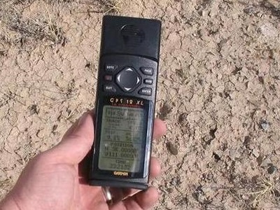
• Elevation: 9,800 feet
• Prominence: 3,140 feet
• Distance: 2.5 miles
• Time: 1 hour
• Gain: 870 feet
• Conditions: Cool with clouds and sun
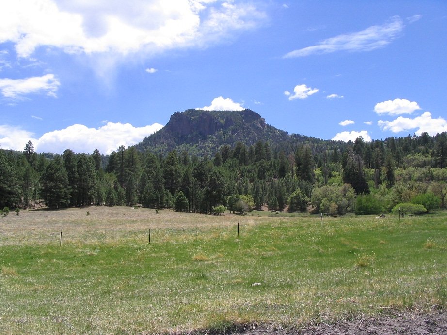
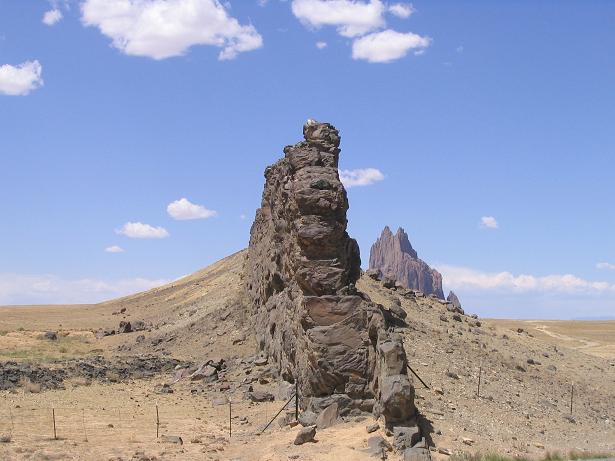
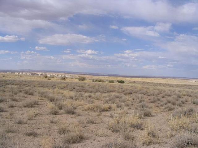
Roof Butte is the highpoint of the Chuska Mountains along the Arizona and New Mexico border on the Navajo Nation. The peak itself has a block shape, with towers and a moderately-rough dirt road that goes to the top. The surrounding area is high-elevation grass meadows and spotty forest, and is quite lovely. It looks like what one would see in Washington or Idaho, not in Arizona. Getting here is most of the fun, while the hike itself is fast and simple.
We planned a week of hiking and camping in western New Mexico, and we got there only to discover nearly all forest lands were closed due to extreme fire danger. So we killed two nights in Truth or Consequences, then bailed and headed north to the Navajo Nation, to try our luck up there.
From T or C, we followed back roads through the little towns of Winston and Dusty, coming back onto pavement near the Very Large Array along US-60. We had visited the telescopes last year. This time, we drove on through, now heading for Pie Town, where stopped for pie. How cool. On one side, super-modern radio telescopes probing the deepest reaches of the Universe for signals of possible alien intelligence, and on the other side, pie.
From Pie Town, we exited the main route, now following lesser roads north into the Zuni Nation, passing through the town of Fence Lake, then arriving into Gallup along Interstate-40, where we stayed the night while we planned exactly what to do for the following days. I had Roof Butte in my sights, but needed to get maps and information how to get there. Gallup is technically outside the Navajo Indian Reservation, but the rez starts literally on Gallup's northern city limits.
The next day, we left Gallup and drove north onto the Navajo Nation, aiming for Window Rock, the capital of the Nation, where we stopped to get our recreational permits. I had called the day before and they told us how to find the Parks and Recreation offices, and gave us the hours, but when we showed up, no one was in. They were all out at some conference. So we stand around, wondering what to do. Then some guy shows up, probably just to check his emails. We explained to him our plight, and he was cool enough to write us permits so we would be "legal" while exploring the Navajo backcountry. That's the way they do things up here.
Looking at maps, Roof Butte is close to a paved highway, Indian Route 13, from which the peak is just a few miles away. But getting to Route-13 looked like a long drive. Instead, we decided to come up from the south, following Indian Route 12 to Indian Route 68. This would be a much more scenic drive.
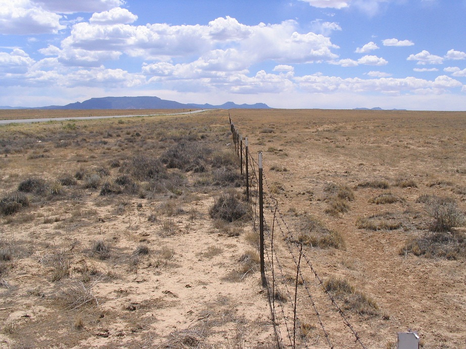
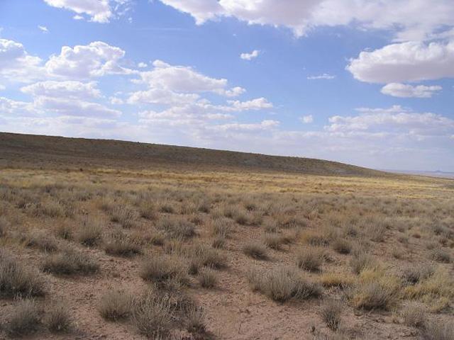
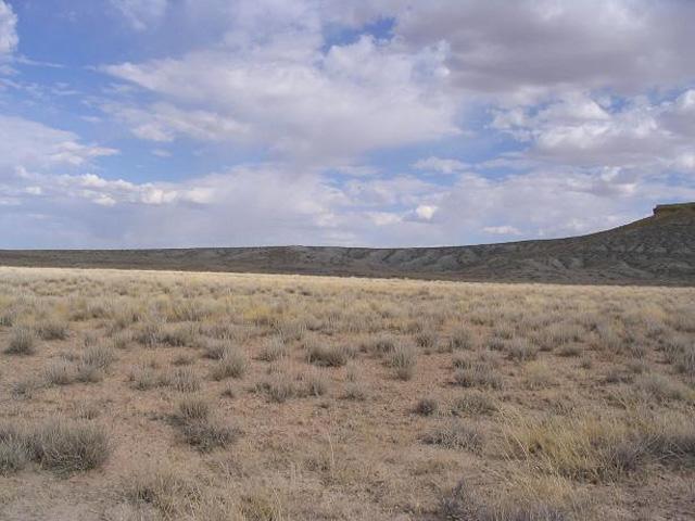
From Window Rock, we went north along Indian Route 12 for about 40 miles to the communities of Upper Wheatfields (which comes first) and Wheatfields. The highway runs through pretty high desert with sandstone cliffs and formations. Closer in to Wheatfields, the terrain became hillier, now being in the foothills of the Chuska Mountains. In Wheatfields, we eased onto Route 68. The guy back at Window Rock tried to dissuade us by saying "none of the roads are marked up there" but we found Route 68 to be marked and well maintained. We turned north onto Route 68 and started into the Chuska highlands.
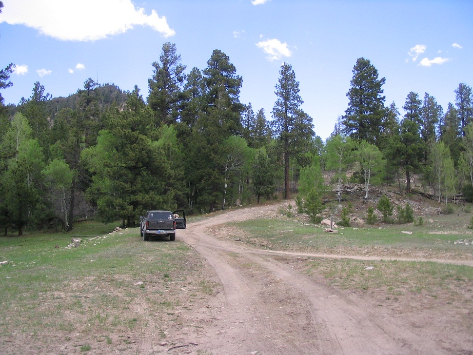
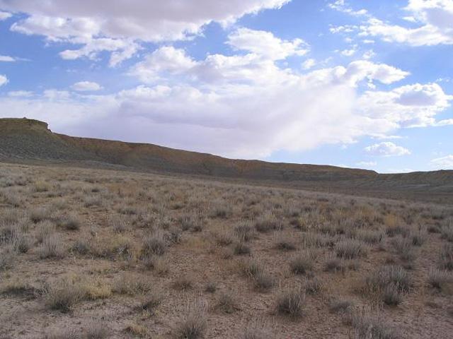
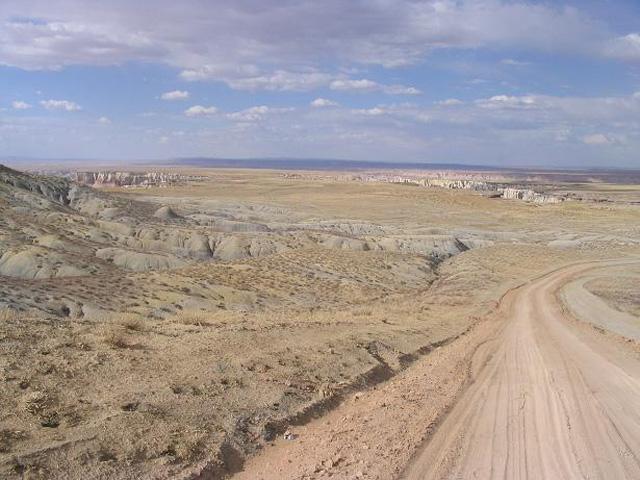
At first, the gravel road was wide and flat, where we could move along at 45 miles per hour. Soon, the road enters into forests of pine and aspen, and for much of the remaining drive, cuts in and out of narrow canyons with beautiful grassy meadows and gentle brooks of water. Occasionally the road got bumpy but it was never very bad, and the scenery was outstanding all the way in. Whenever there was any doubt at a junction we stayed on the main road. Finally, we crested a rise and came out upon a broad, gorgeous meadow, over which stood Roof Butte. From Wheatfields to Roof Butte's access road was about 16 miles, which took us about 45 minutes.
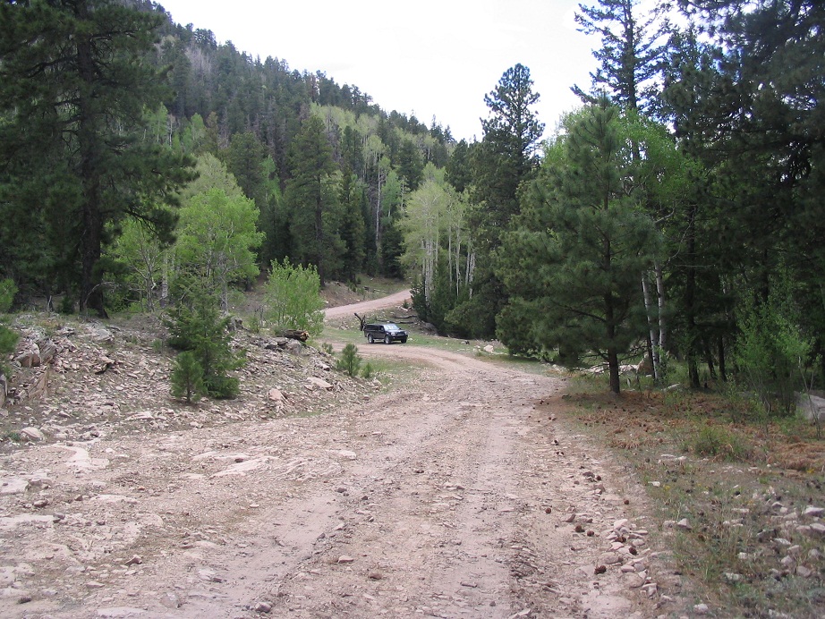
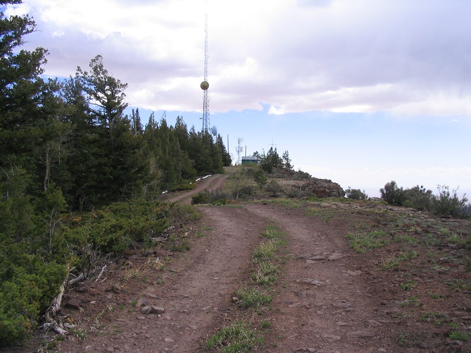
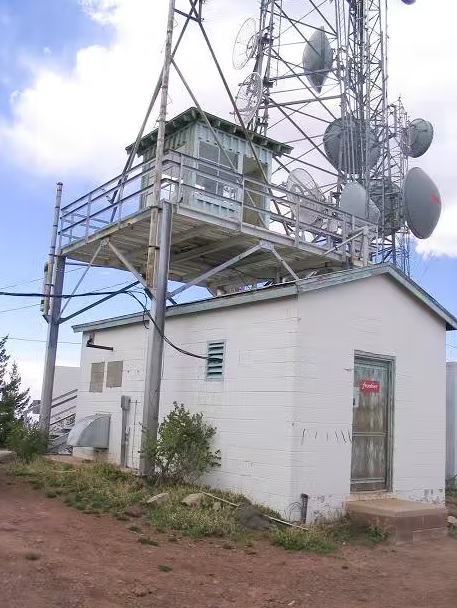
We arrived at the Y-junction where the access road to Roof Butte's summit went left. We parked off the main road and got ready. I tied on my sneakers, grabbed a water bottle and the camera, and headed up the road to the top. The hike went quickly, covering 1.25 miles and 870 feet of gain in 35 minutes. I moved fast so as not to be gone long. Up top, I walked past the fire lookout tower, and the guy up there greeted me. We chatted, but then he had to get back to business, so I continued on.
I walked to the east end of the summit, where the highest point is found. Across the way stood Beautiful Mountain, the highest point in San Juan County, New Mexico. I kept my visit short, and immediately started the walk out. Some other guys were driving up in a work truck. They had no beefs with me being there. I was back to the truck quickly, total time gone an hour.
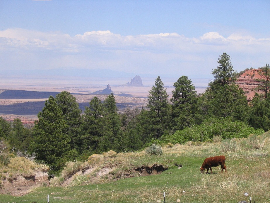
Another peak, elevation 9,774 feet, lies west of Roof Butte's summit. It looks nearly as high, but Roof Butte is about 25 feet higher. From below, the two summits create an attractive profile, especially as viewed coming in from the east or north via Shiprock.
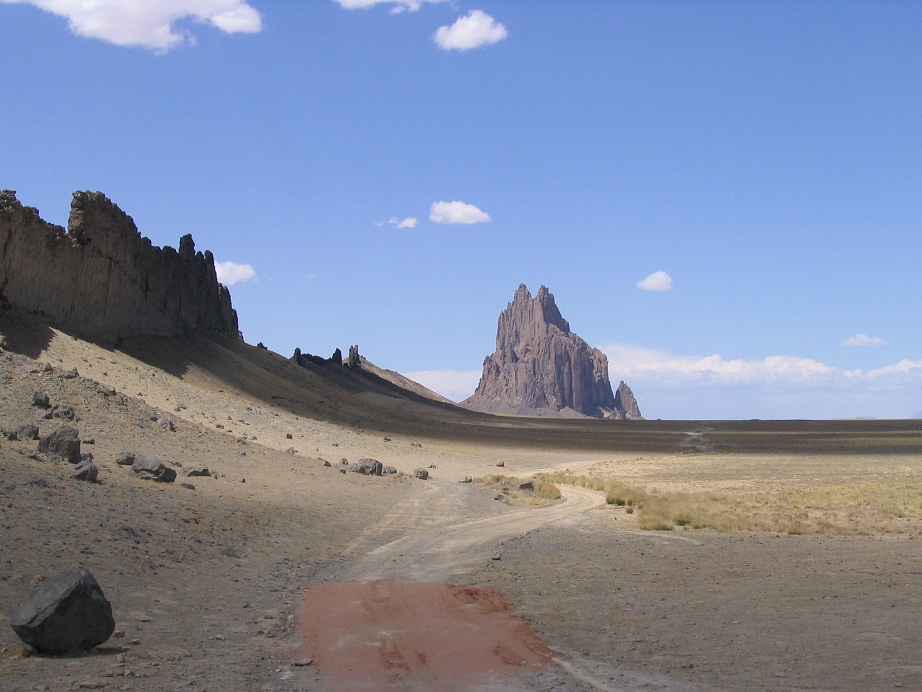
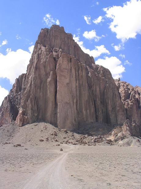
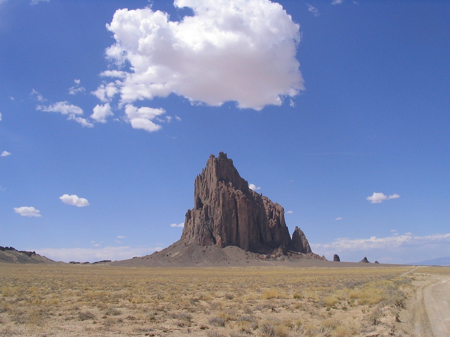
Hike done, we continued north along Route-68 as it very steeply descended just a couple more miles to meet up with paved Route-13, which comes in from Lukachukai. From here, the road descends steeply some more, with grades of up to 12%. Still up on the highlands, we had great views of Shiprock, which we visited about an hour later.
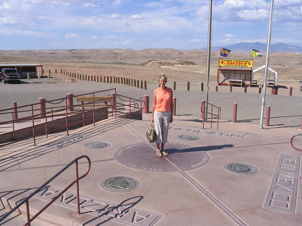
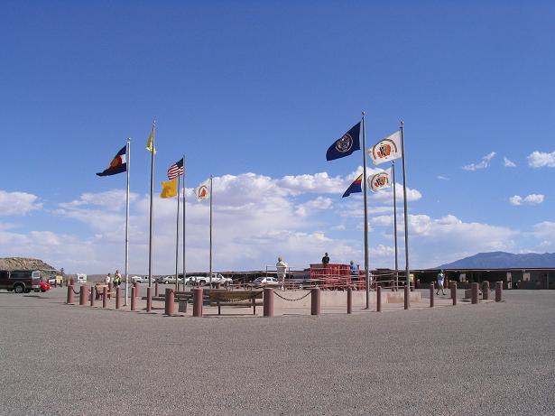
Four Corners is where four states (Arizona, Colorado, New Mexico and Utah) come together, the only such point in the United States. An attractive monument has been built to show where the state lines meet. Thus, it's possible to be a tacky tourist in four states simultaneously. This was my third visit. I had been here in 1993 by myself, and again in 1994 with my brother. You actually enter from the New Mexico quadrant, and pay a fee for the honor. Three-quarters of the land is on the Navajo Nation, the Colorado quadrant is on the Ute Nation. The area is lined by simple swap-meet style structures where the locals sell their jewelry and other items. The surrounding lands are pretty. It's high desert with distant mountains and nearby canyons. We lucked out and didn't have to pay any fees. We spent 10 minutes at the monument. There's only so much excitement one can have standing in four states at once. Our visit came at the end of a long but enjoyable day, which began in Gallup, New Mexico. We drove up through the Chuska Mountains and visited Roof Butte and Shiprock. From there we had lunch in Shiprock the town, then worked our way to Four Corners. Here's an interesting article about the moument. It is the actual corner of the four adjoining states. Any newer datums and mappings that come along may shift the "actual" corner point somewhere else, but this point still wins out.
We stayed the night at a casino/hotel in Tawaoc, a Ute town in Colorado northeast of the Four Corners. The next day, we drove west aiming for Flagstaff. We drove to Ganado, then got on state route AZ-264, which crosses the Hopi Nation. This would be our first (and only) time on Hopi land. We drove through and "visited" the town of Old Oraibi, which lies atop a bluff and is the (or one of the) oldest continuousy-inhabited villages in the Americas, dating to about the 1300s. The town is tiny and not geared to tourism in any manner. We never got out of the truck nor took photos, and the Hopi usually have strict rules against any sort of impromptu walks or hikes. Next up, I wanted to visit this confluence, but wasn't encouraged by the access as the land on both sides of the highway was fenced. However, the road to near the confluence is not fenced or otherwise proscribed. So I drove in a little and parked. Beth stayed with the truck and I took off for a quick hike. I descended the road onto a lower plateau then went off-road through low brush and grass to the spot. More to the north the land opens up to spectacular canyons that would rival the Grand Canyon for beauty (if not depth) and in any other state would be a National Park. I am not sure what overall access is like here. Beth said a work truck came by while I was gone but they didn't hassle her about being there.
|


|