|
|
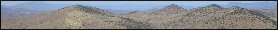
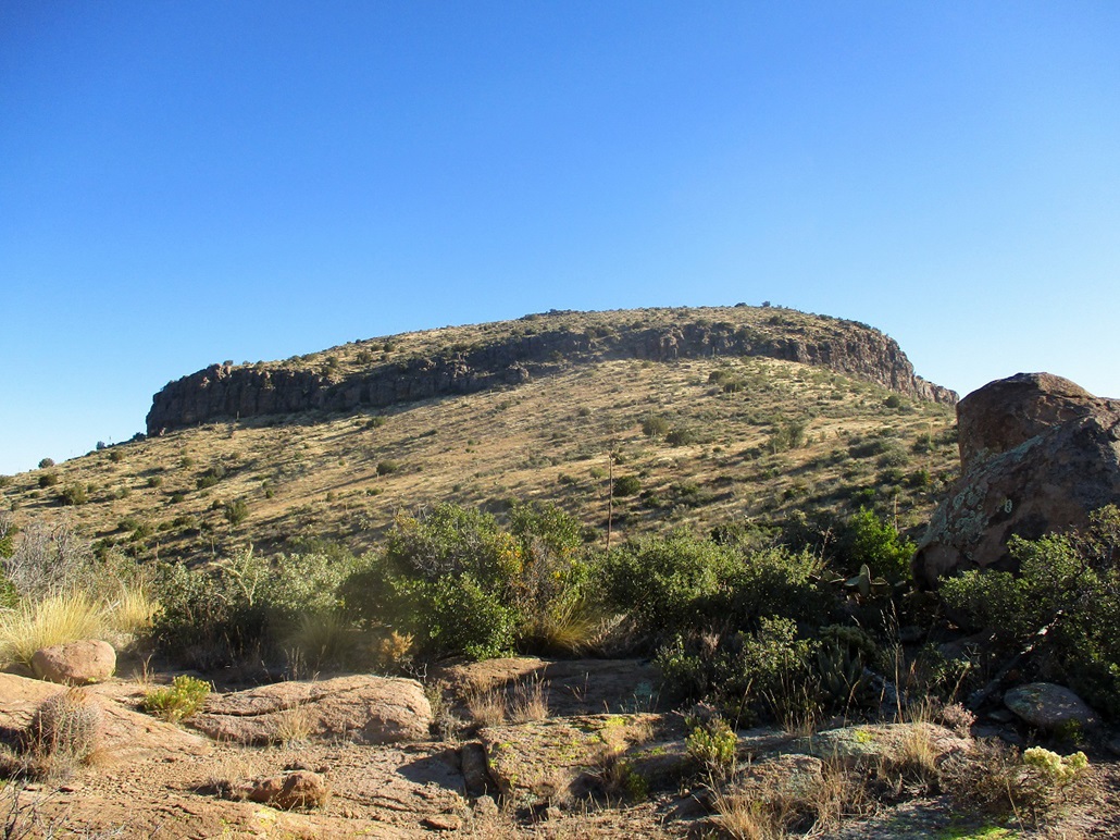
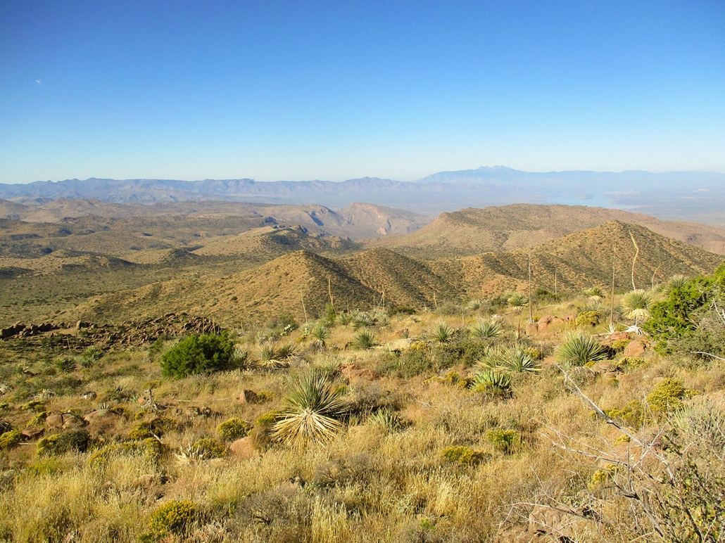
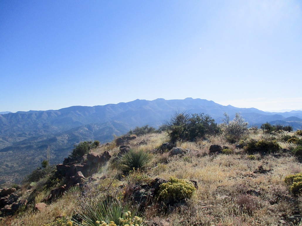
A distant view of the peak
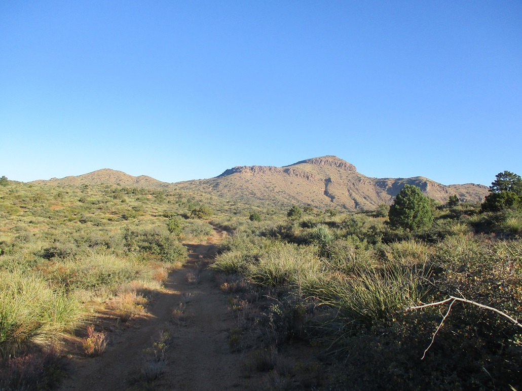
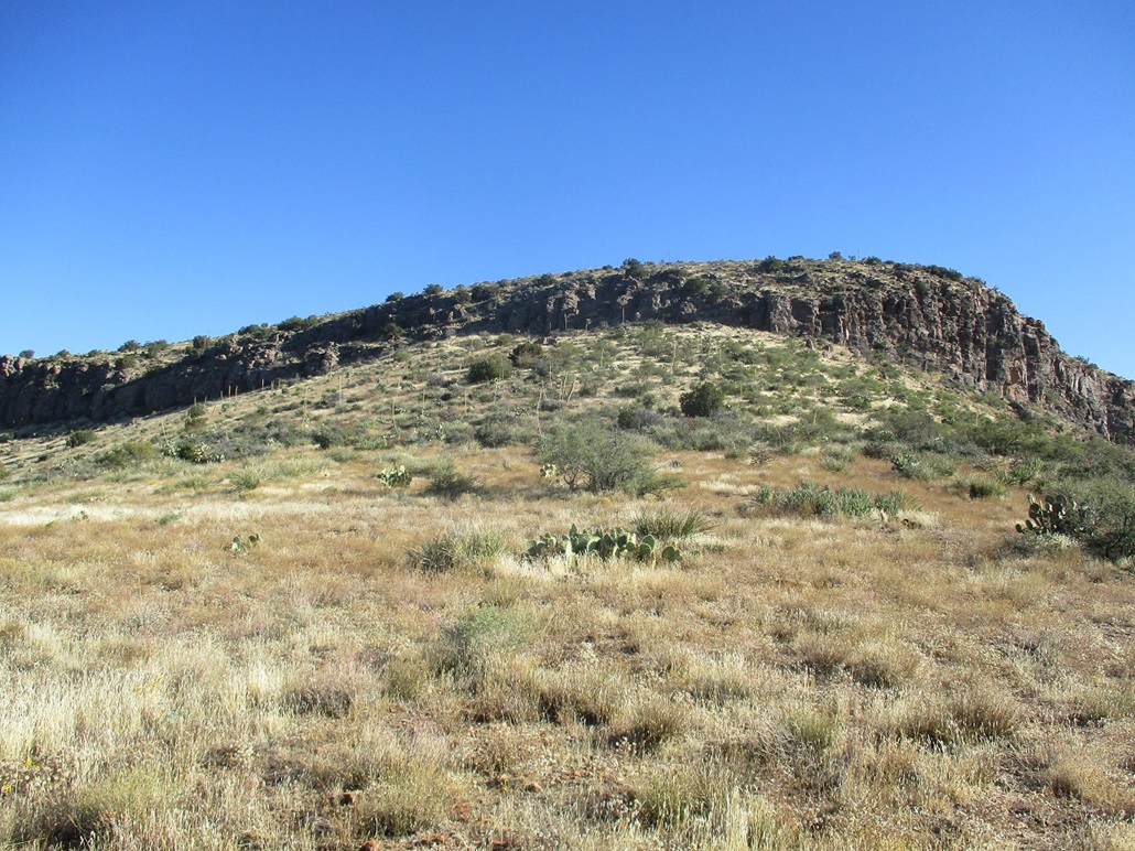
Closer in...
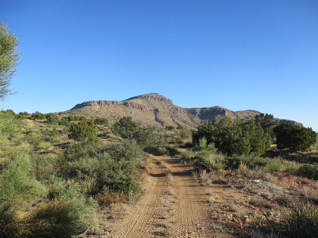
... and closer, where the angle has changed a little
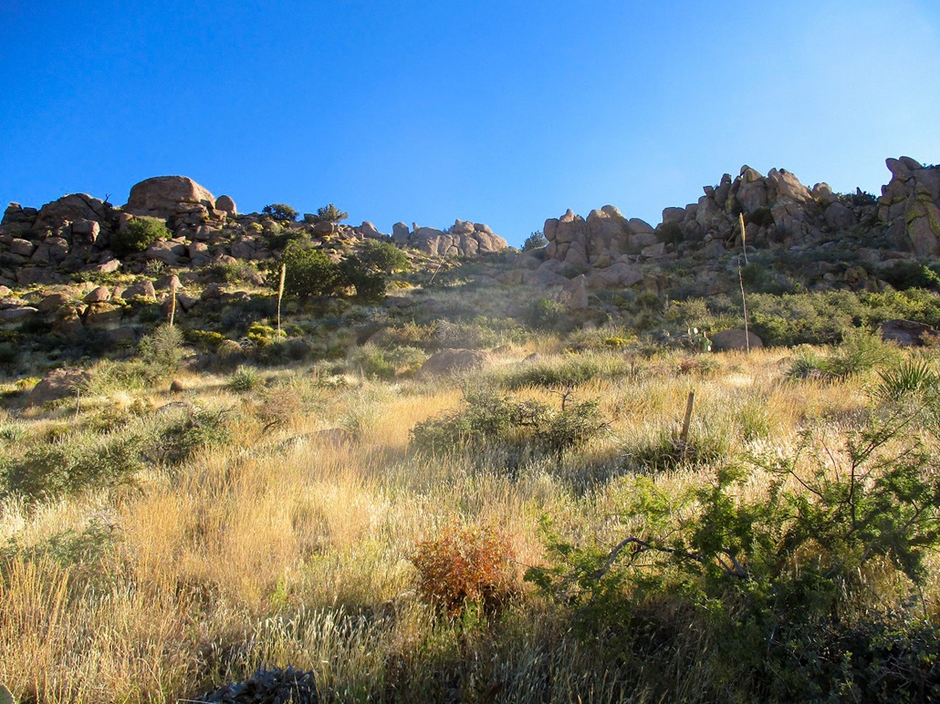
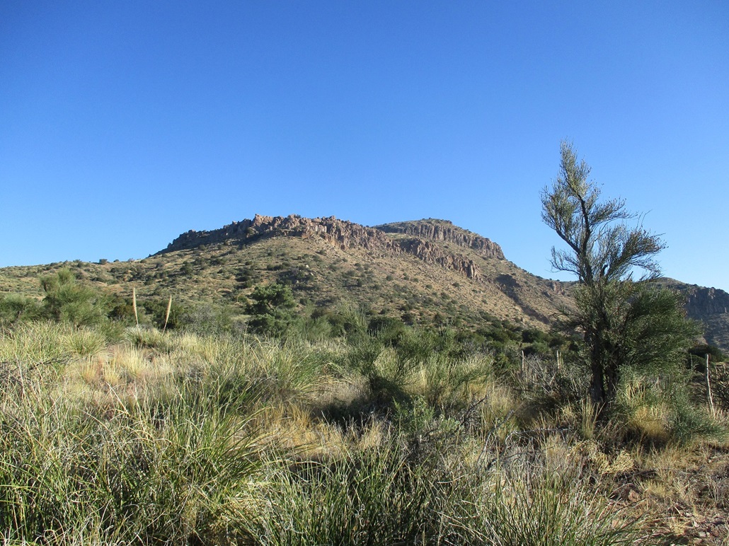
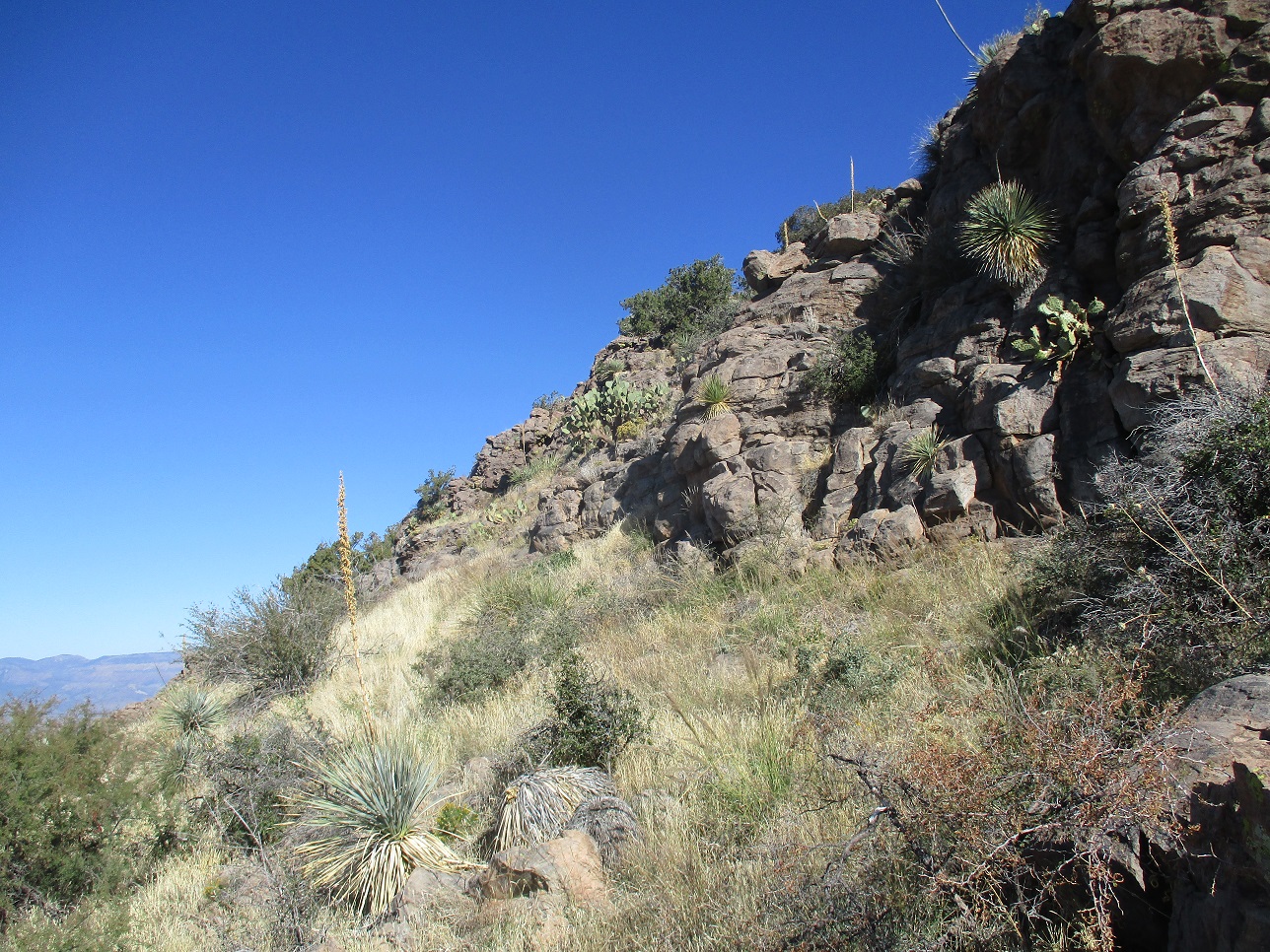
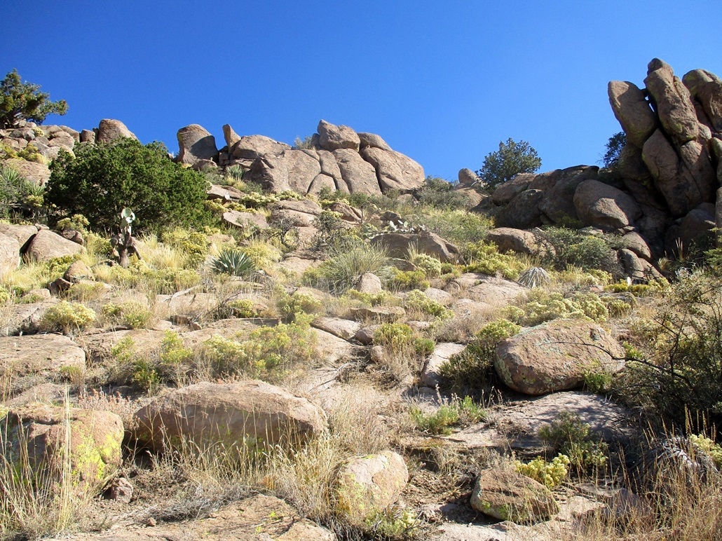
The breach in the first set of cliffs
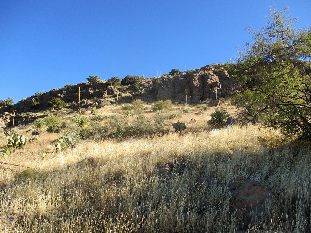
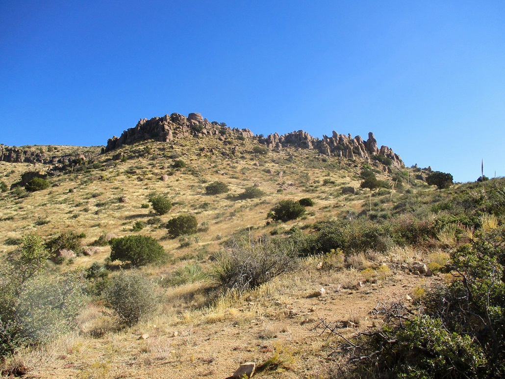
The upper cliffs and summit
The upper cliffs as we approach
The breach in the upper cliffs becomes more evident
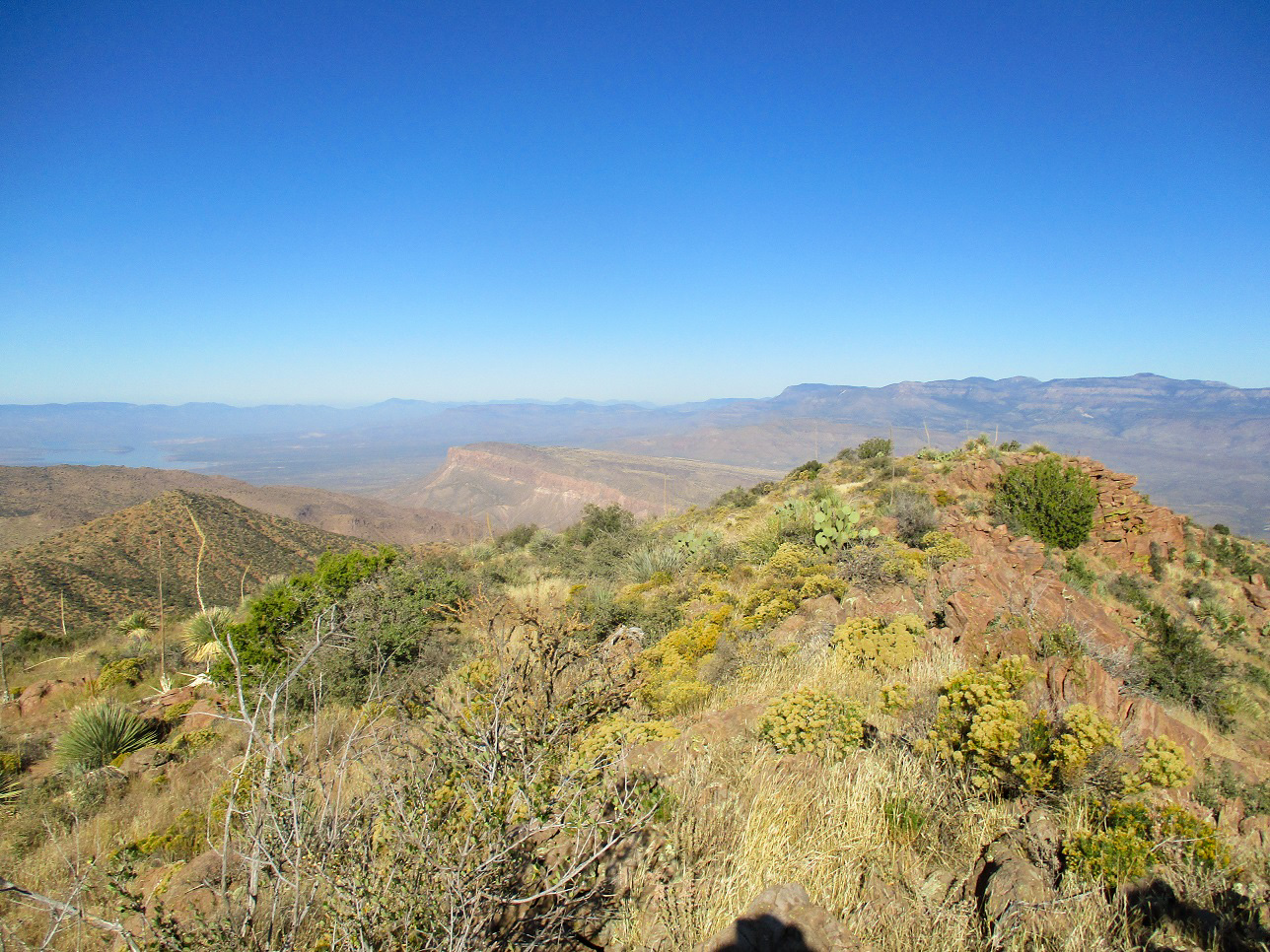
North view from the top: Aztec Peak is to the left, Lake Roosevelt is seen in back and Black Mesa is also visible in the center
Northwest view: Four Peaks, Lake Roosevelt and Redmond Mountain to the right, I think that's Klondyke Mountain in the mid-center
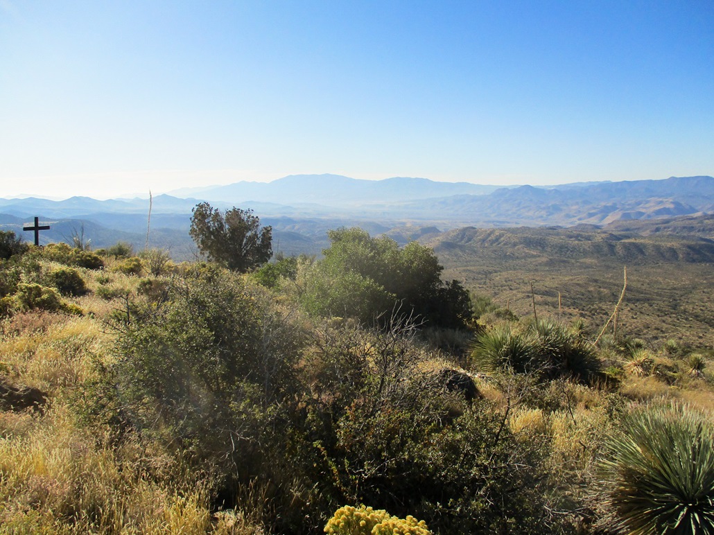
South view, Pinal Peak in back, and a cross on the summit
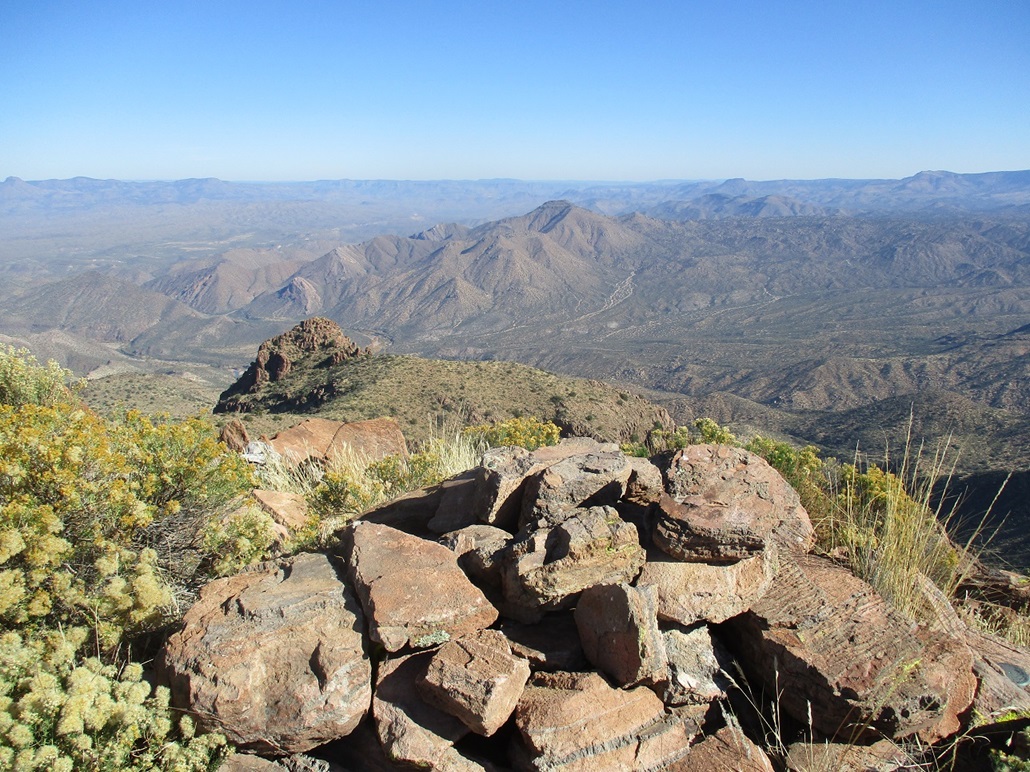
Summit rocks and east view, Haystack Butte in to the far left
Southeast view, Apache Peaks
The upper cliffs as we descend
Approach the lower cliffs from above
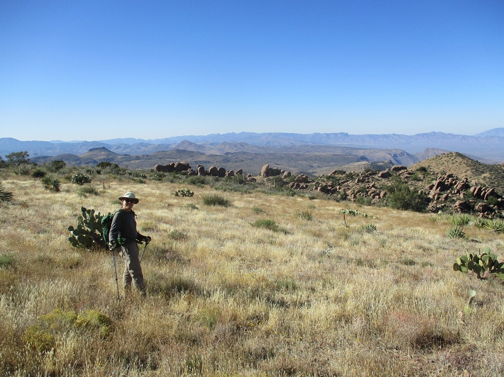
Matthias as we hike toward those lower cliffs
Coming down that breach in the lower cliffs
The lower cliffs in better light
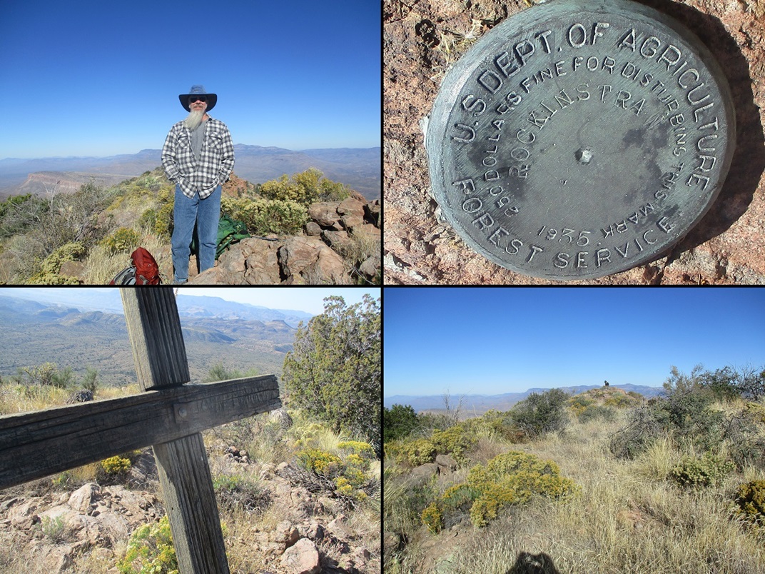
Montage: Me, the benchmark, the name "John Monarrey (?)" on the cross and Matthias on the summit from near that cross
All images
• • •

The Arizona
Mountains Gazetteer
Click to find out more!
|
|
|
Date: November 17, 2019
• Elevation: 5,385 feet
• Prominence: 1,105 feet
• Distance: 5.1 miles
• Time: 3 hours, 30 minutes
• Gain: 1,225 feet
• Conditions: Clear and cool, with wind at first but calmer later
• Teammate: Matthias Stender
Arizona
•
Main
•
AZ P1K
•
PB
•
LoJ
Rockinstraw Mountain is a prominent mountain north of Globe, about ten miles northwest of the Apache Peaks. The summit is ringed by two cliff bands, but climbing the peak is not too difficult as there are ways through the cliffs. To be up-front, the hike is a complete delight, for reasons I'll be glad to discuss below.
The peak lies in the grouping of mountains north of Globe, in between routes AZ-188 and US-60, and south of the Salt River. I assume the Sierra Ancha to lie north of the Salt, although it "looks like" peaks in the Ancha and could be logically grouped in with that range. There is a grouping of peaks nearby called the Blackjack Mountains, but it is not clear just exactly which peaks are included in that range. Thus, its range is a mystery. The portions not privately owned are all parts of the Tonto National Forest.
The name appears to be an Anglicization of "Roggenstroh". I found a passage in a book that suggests how the peak got is name:
On the north side of the river we passed through a grove of mesquite trees on a sandy flat. Here we found about a half-dozen burnt corral posts poking up through the sand, the ruins of a homestead belonging to a one-armed German named Rockinstraw, or Roggenstroh. A rusted cable twisted through the ruins, once a ferry line that Rockinstraw used to haul people and horses across the river.
Cities of Gold: A Journey Across the American Southwest, by Douglas Preston (1989).
Matthias and I teamed to hike this peak, coming back to the area two weeks after we hiked Boneyback Peak. which is about fifteen miles northwest of Rockinstraw Mountain. We met at the Wal-Mart in east Mesa at 6 a.m. and headed east on US-60 into Globe, then north on AZ-188 a few miles. On the playlist was some live recordings by Frank Zappa from his 1972 tour.
We knew to follow the same roads one takes to the Apache Peaks, but it's been over ten years since I was last here and Matthias did not necessarily remember the exact turns either. So we overshot the right road, catching it farther up on AZ-188. We had to double back a few miles, but soon, we were on the right roads (Wheatfields Road, Hicks Road), to get us to Tonto Forest Road 219. This road crosses private land but is open, part of the Arizona Sportsman agreement allowing easements across private inholdings. We signed in, noting almost everyone here was a hunter.
The road heads northeast, then splits a couple miles in: a right goes east to Apache Peaks, a left goes north to Rockinstraw. We went left, the hills tightening into a narrow canyon. When we emerged, we could see Rockisntraw Mountain on the high ridge up ahead. We drove past one more road split (the Shute Springs Road, which goes west). We drove less than a mile to a clearing on the west side of the road, near "Summit Tank" on the map. This area is open, with a few ad-hoc camping sites and fire rings. The road to here (all FR-219) was in great shape. There are ranches back here, which is why the road is maintained.
We got situated, got the packs in order, locked up the car and started hiking just after 8 a.m., with clear skies, cool temperatures and a steady breeze. We followed a track heading northwest, past one of the camping spots. We were not sure if this was the right road, as there are a few in the area. So we started walking it and hoped for the best. The track goes west and up a hill, then bends north, a straight-shot to the saddle west of the mountain, slightly less than two miles away.
We hiked the road heading north, gaining about 500 feet in the two-ish miles, an easy grade the entire way. The road does not meander too much, and is generally smooth for hiking. For driving, it has a few spots that would require a Jeep, mainly a couple of deep erosion ditches, and near the saddle, some narrow and steep grades with irregular cambering. For hiking, it was cake. We were at the saddle in about an hour.
We took a break here. The sun was rising, warming things up, and the breezes seemed to die down. The sky was blue with no clouds, and beautiful. I explored the road a little farther, to a point where it drops steeply down the north slopes. Here, a very old track angles sharply to the right and heads up, gaining another 75 feet. I walked up this track, while Matthias took a more direct route through the low brush.
There are remnants of a path still, where the ground is kind-of flat for about two hundred more feet. There were a small band of cows here, watching us. As we approached, they jogged off to the side. We passed their hang-out and continued east, the terrain steepening and aiming for the lower cliffs, which are a collection of rounded rock outcrops and pillars. There was an obvious breach in the cliffs, and we aimed for it, following scant paths in places which may be from past hikers (the cows seem to go no higher, judging from the lack of cow poop after a certain point).
The segment through the cliffs went well. The rocks lie back and offer decent traction, with brush and cactus in the cracks. It would be hard to state exactly what we did. We zigged and zagged and followed any open path. At the top of the slope, the rocks jumble together along with thick brush. This may have been the crux, battling through some mountain oak and agave, but it was short and we were soon above the lower cliff.
Now we could see the high cliffs, and the terrain between us and it. We walked through the open country and approached these higher cliffs, where again, another breach presents itself. The rocks get slightly "ledgy", but never vertical. The route seems to angle left, but there are options to bail right up the open rock slope. Matthias went right, I stayed left, but soon, we were now atop this second cliff. From here, the summit was just a hundred vertical feet above us, on gently-sloping terrain. The highest point is near the south end of the short summit ridge. We were on top about 9:45 a.m., a 2.5-mile hike.
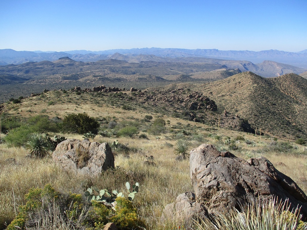
We took a long break here. The conditions were mild and the views outstanding. The whole sweep of the Sierra Ancha, the Mazatzals, the Pinal Mountains and the southern Apache Peaks can be viewed, unobstructed. Looking down north, the Salt River wiggles through the lower hills. We could see Lake Roosevelt, the Four Peaks, and Aztec Peak, then to the northeast we could spot Jackson Butte and Seven Benchmark, in the hills near the Salt River Gorge.
There is a cross at the south end of the summit. It is made of railroad ties and looks substantial, and old too. There is a name scratched into it, but it is badly weathered. It looked to me like John Monar..., and after that, I am not sure. I could find no information on this person, the cross, and if this is an actual grave. The benchmark "Rockinstraw" is in the rocks near the summit. Apparently, the older benchmark "Rock" is buried underneath the summit cairn, per a report at HikeArizona. We did not take apart the cairn to find out. We spent about a half-hour up top.
For the hike down, we retraced our steps, taking care to descend the cliffs the same way we came up. The hiking was fantastic. The usual bane of this terrain --- rocks hidden in grass that roll on every step --- were not present. The brush was not heavy, and the underlying terrain was almost always solid. We were back to the track quickly, then from there, back to the car, emerging about 11:30 a.m.. If we subtract our breaks, we were only hiking barely over two hours.
This had been a great hike. It was efficient: the route did not meander unnecessarily, it was never too steep, there were no unexpected big drops, the grassy slopes were solid, the cliffs were easy to breach, and the views were marvelous. We could enjoy the hike and not have to worry about rolling an ankle. I loved it and highly recommend it. It appears it gets climbed regularly, but most signatures in the register were from the Southern Arizona Hiking Club. Otherwise, it was a smattering of people --- the usual suspects plus a few names we did not recognize.
We were back to the Wal-Mart in Mesa a little after 1 p.m., by now the parking lot jammed. I transferred my stuff into my car, we shook hands and thanked one another for a good hike. Rockinstraw turned out to be a real gem.
|