
The Mountains of Arizona
• www.surgent.net
|
| Sierra Blanca • Rabia Benchmark |
• Highpoint: Sierra Blanca Mountains • Tohono O'odham Indian Reservation • Pima County |
|
Date: January 26, 2019
• Elevation: 3,727 feet
• Prominence: 1,147 feet
• Distance: 4.5 miles
• Time: 4 hours
• Gain: 1,500 feet
• Conditions: Sunny and cool, no clouds
• Teammates: Matthias Stender, Paul McClellan, Mike
Arizona
•
Main
•
AZ P1K
•
PB
•
LoJ
Four of us teamed to climb two peaks on the Tohono O'odham Indian Reservation, Sierra Blanca Mountains Highpoint (Rabia Benchmark), and Brownell Peak, highpoint of the Brownell Mountains. The two ranges are parallel to one another near the village of Quijotoa, located north of highway AZ-86 and west of Indian Route-15. First up was Rabia Benchmark.
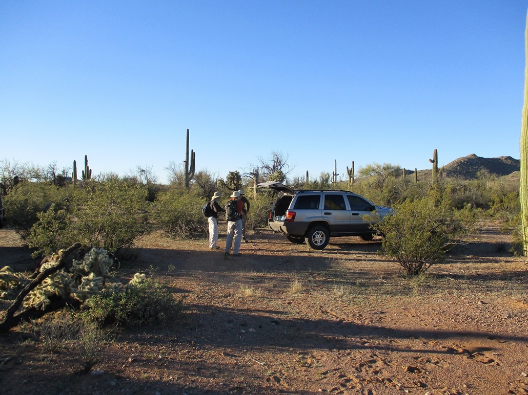
I met Matthias and Mike early in the morning in Ahwatukee, and Mike drove us down through Casa Grande and onto the TON, to where IR-15 and AZ-86 meet. We met our fourth, Paul, who was parked near the small general store near this junction. We then drove west a few miles to a scant sand road on the north side of the highway. Mike had pre-entered the waypoints into his GPS. Otherwise we would have drove right past it. I got out to open the gate and let Mike and Paul in, then closed it quickly so that we could get out of sight as soon as possible.
The road went northwest and soon came to a large sandy arroyo. We drove into it, but then Mike’s vehicle spun its tires or high-centered on a hump of sand, We got out to shovel it a little but that had little effect. Finally, Mike brute-forced his vehicle through this obstacle. Paul was right behind and got through it too. Had we parked here, that would have added almost three walking miles each way to the journey.
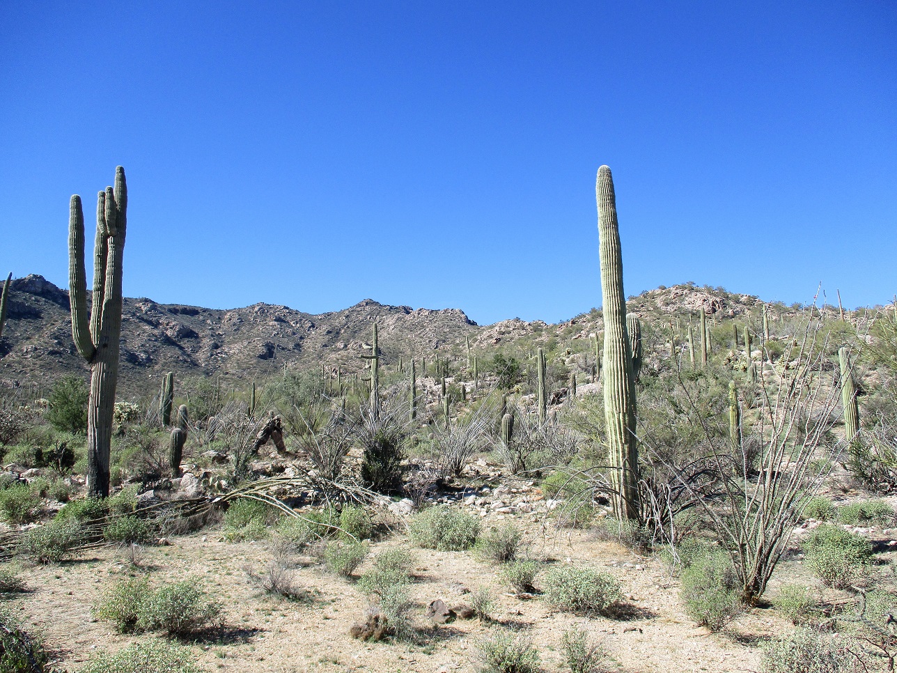
Now past that arroyo, the road was okay for a little while, then started to dip into and out of many smaller arroyos, then wander through desert as the track grew thinner to where it was no longer a recognizable track at all. We parked about two miles east of the summit. To get this far was fantastic, saving us the hassle of hiking those extra road miles. Both Mike and Paul handled these roads well. We started the actual hike at 8:30 a.m., the weather blue and clear, and chilly, temperatures in the 50s.
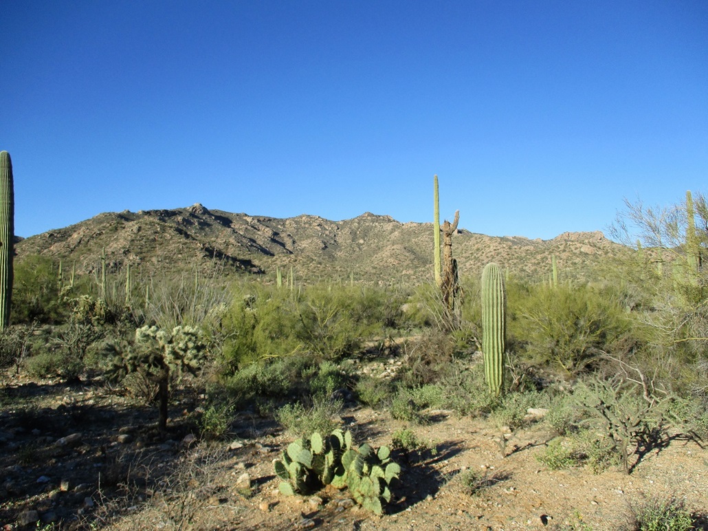
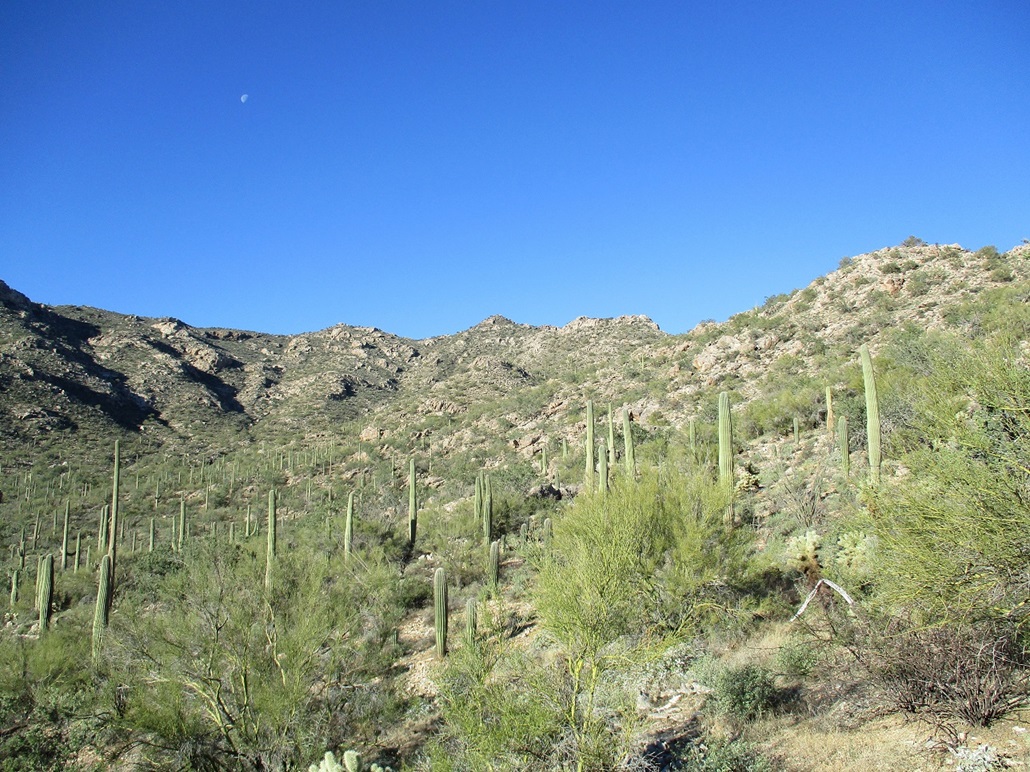
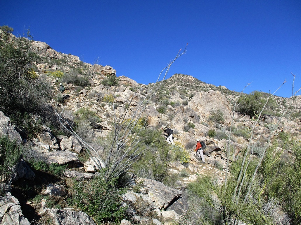
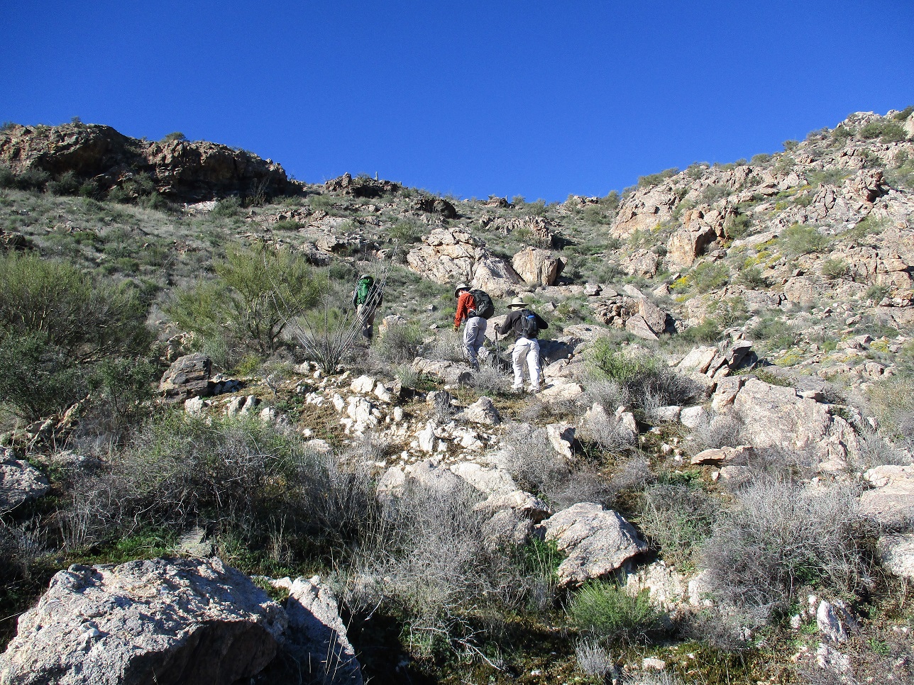
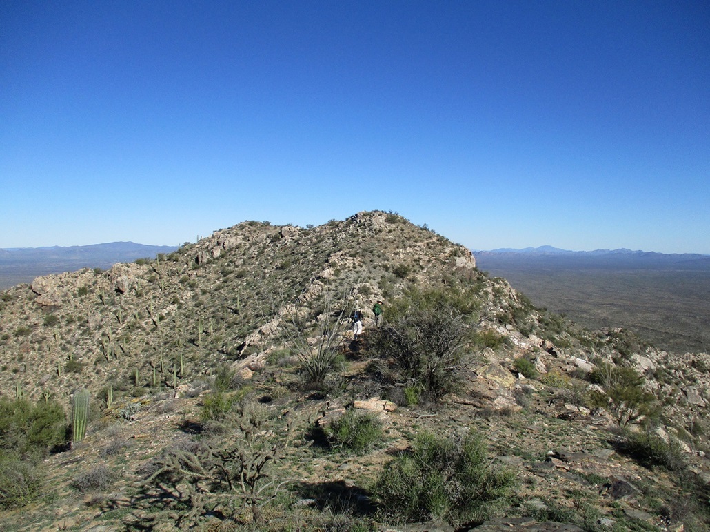
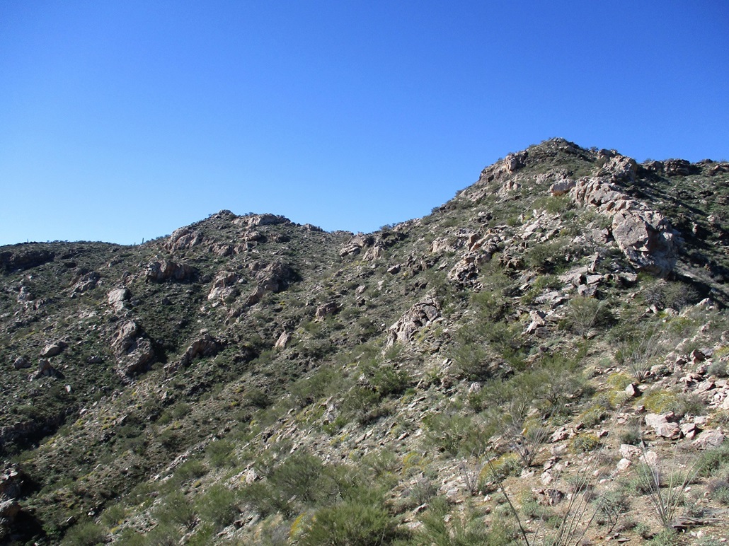
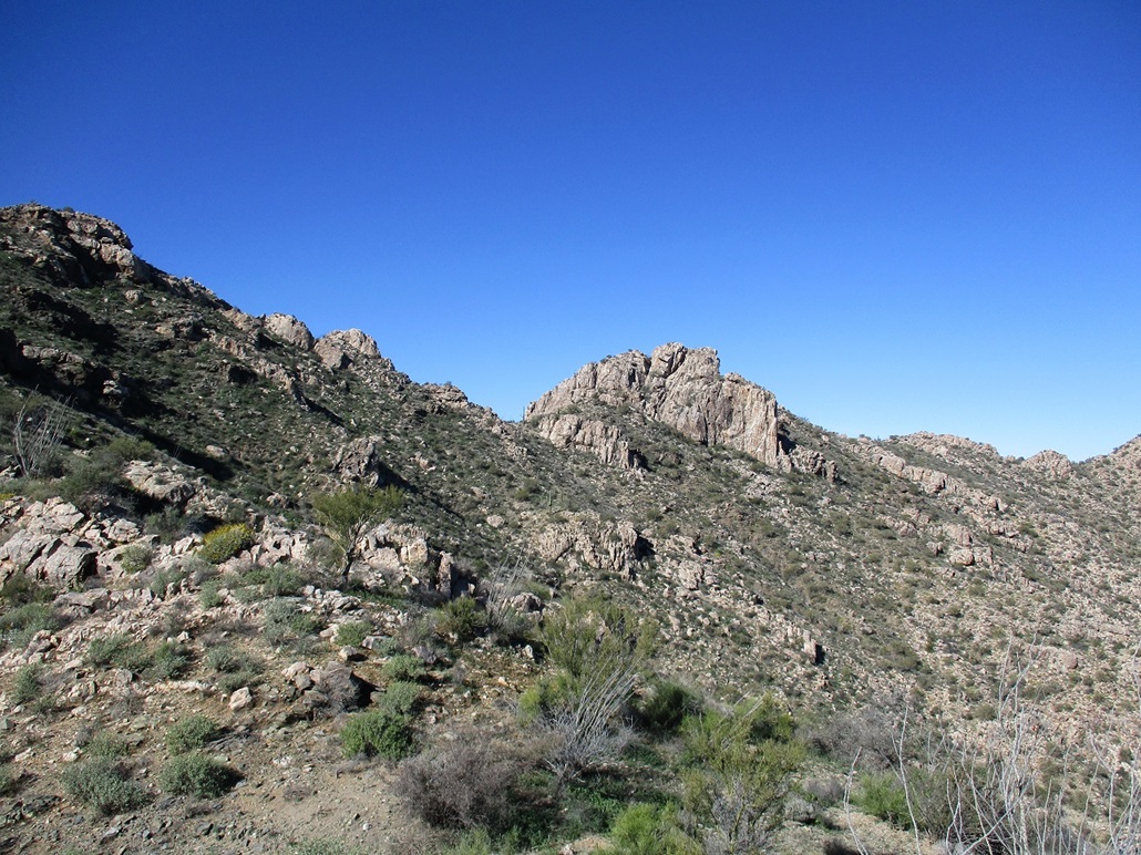
We aimed west toward the mountain, having to cross a number of arroyos along the way, some very brushy. We got ourselves into the broad drainage below the peak, and its southern subpeak, Peak 3695. We had no plan other than to hike in and see what opened up. We stayed slightly south of Peak 3695, the slopes steep and rocky and brushy, but never too bad. Only one segment required hands and we could have bypassed it had we wanted to. The slopes laid back nicely, and we were soon on the range crest south of Peak 3695.
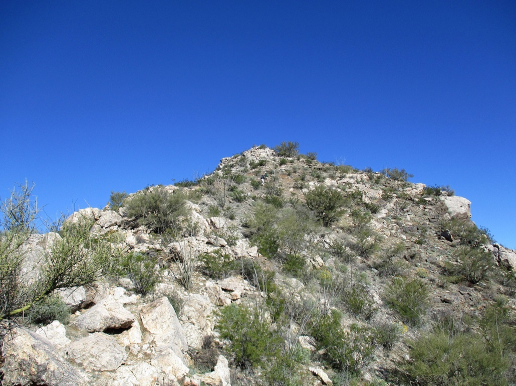
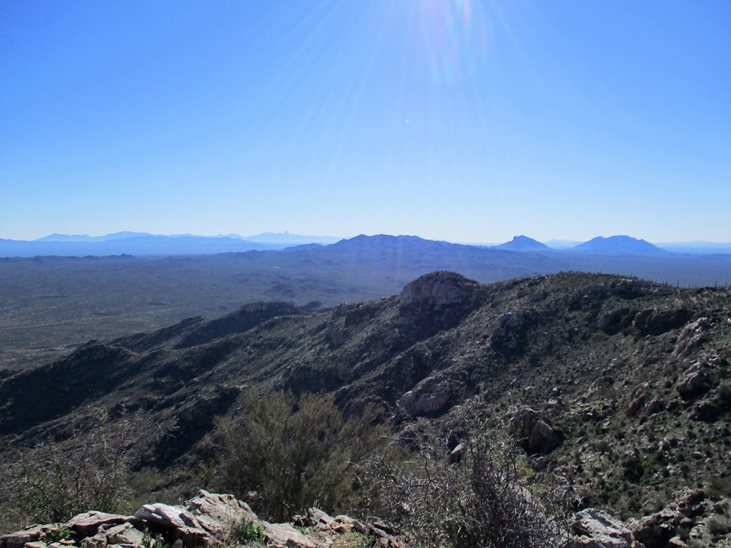
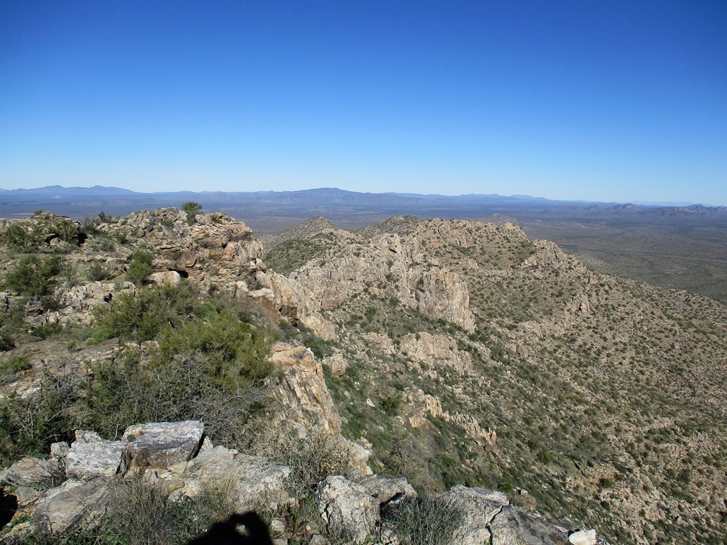
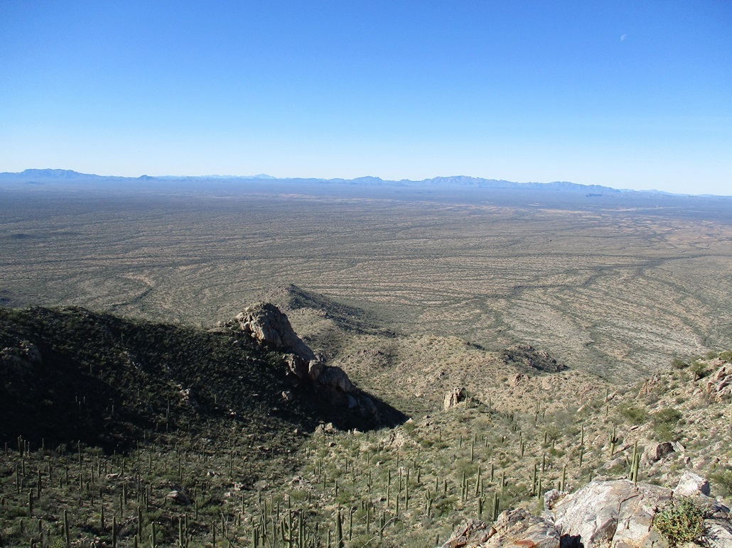
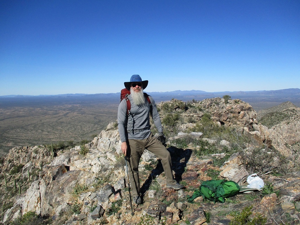
From here, we bypassed the lower peak, then dropped about a hundred feet to the saddle below the summit. Matthias and Mike were ahead of Paul and me, beating us to the top by a few minutes. The one-way climb had taken about two hours with about 1,300 feet of gain. We had clear skies and great views of the many surrounding peaks and miles of open desert, plus the few water towers that mark the villages here on the TON.
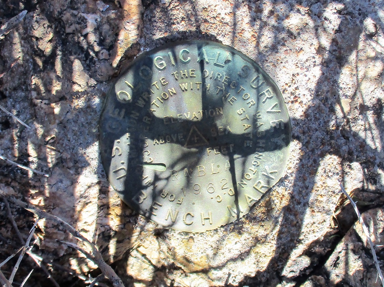
The benchmark lies under a bush and it took a few minutes to find it. It is stamped "RABLA". The USGS insists that it is named RABIA. I'll bet someone used an "I" to represent an lower-case L in the data sheet. My theory is that RABLA is a concatenation of the letters in Sierra Blanca. The register had names going back 30 years but not many overall. This peak goes years between visitors. We stayed up top for about 20 minutes.
For the hike down, we elected to descend the east ridge, which was rockier and steeper, but worked well. We could see ways down through the rocks from elevated positions. We hiked to near Point 3114 shown on the map, then into the drainage and then back to the cars, which were well-hidden in the heavy brush. A GPS unit was vital to keep us on track.
The round-trip hike took us just under 4 hours and covered about 4.5 miles. We were back to the cars about 12:30, now looking to hike nearby Brownell Peak. Thus, we did not linger and drove quickly back to the highway to our next objective.
My thanks to Mike and Paul for driving and cutting off a lot of road mileage. Their vehicles were beefy enough to manage these roads. It was a good team, but our day was only half over.
|

|