The Mountains of Arizona
www.surgent.net |
|
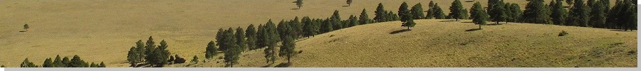
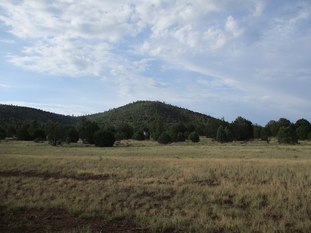
Peak 7073 • Pouquette Hill I was on a two-day excursion in the high country to escape the brutal heat in the deserts, and tag a few summits. Already today I had visited Round Mountain south of Flagstaff, and Wright & Scarp Hills about midway between Flagstaff and Williams. I had reserved a hotel room in Williams for tonight. On the agenda were two ranked hills about four miles north of Williams. Peak 7073 lies west of state route AZ-64, and Pouquette Hill lies east. I was already tired from today's activities, so I chose to hike Peak 7073 first, as it was a short hike, then save Pouquette for tomorrow morning.
Date: July 22, 2022
• Elevation: 7,073 feet
• Prominence: 353 feet
• Distance: 0.8 mile
• Time: 40 minutes
• Gain: 383 feet
• Conditions: Hot but cloudy
Arizona
•
Main
•
PB
•
LoJ
•
Interactive map
I exited Interstate-40 onto AZ-64, at the east end of Williams, and drove north a few miles to the Pronghorn Ranch Road, which heads west toward an airfield and presumably, the Pronghorn Ranch. Peak 7073 lies right there, easily visible from the highway, just a couple miles west of it.
I went in and looked for a place to park. I found a measly track that parallels power lines, and went in on it for just a few dozen feet, then turned left onto another track for about 20 feet, then parked in a tiny clearing. The clearing was sloped such that my car leaned to the left, which was kind of awkward. My car door would fly open if I didn't control it, that kind of thing.
By now, roughly 2:30 p.m., it was hot, in the low 90s. I was tired and had little motivation for any more hiking. Then my wife called and we had a chat for about 45 minutes. It was a perfect way to rest a bit. We discussed things like flooding, lightning, roof damage, things normal couples talk about during monsoon season in Arizona.
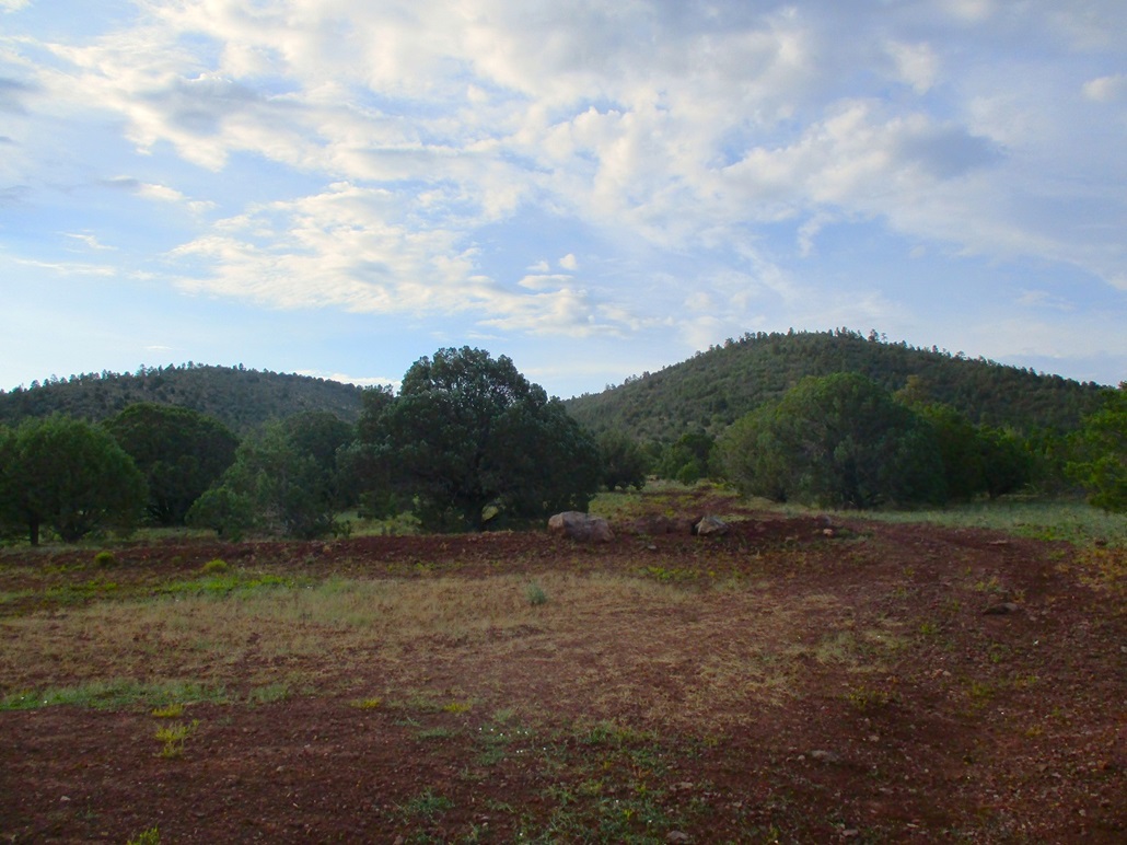
As for the hike, I packed light and started uphill through the open grass and low trees. I soon came upon a road, this being the one I drove in on for about twenty feet. I followed the road until it ended about 200 feet later at the base of a small band of rock forming a cliff about ten feet high. A faint path continues left and up and over the cliff.
The path itself petered out, but was not necessary. I only had about a hundred vertical feet to go and was soon atop the little peak. It was bland and wooded, with limited views. I didn't care. It was hot, although the day's thunderheads were finally creeping westward from Humphreys. I hiked down to my car, this hike not taking long at all. But hey, I got another ranked peak to claim.
It was close to 4 now, so I drove into Williams, got some food and drinks, and found a Subway where I got a foot-long. I got into my hotel and went zombie, staring at the television. Later, around 6 p.m., one of the storms moved in, dumped a lot of heavy rain (which helped clean the mud splatters from my car), lightning and stupendous thunder. I got an early night.
Date: July 23, 2022
• Elevation: 7,487 feet
• Prominence: 487 feet
• Distance: 2 miles
• Time: 75 minutes
• Gain: 607 feet
• Conditions: Cloudy and cool
PB
•
LoJ
•
USGS BM Datasheet
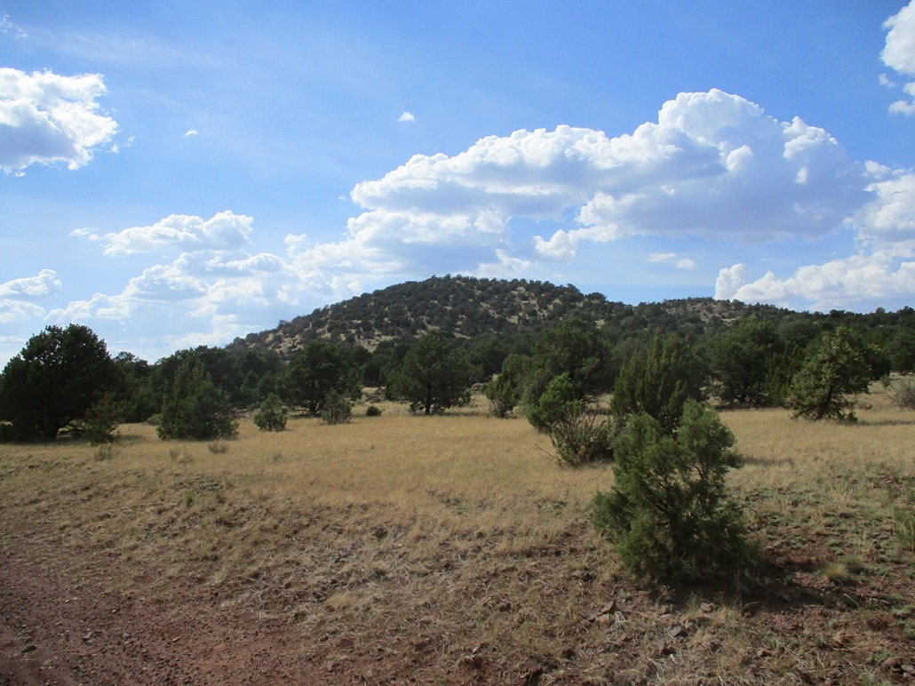
I was up very early and out the door about 5:30 a.m.. The sky was mostly cloudy but there was no rain. It was cool but not cold, and humid. I wanted to hike and hopefully be done with Pouquette Hill within a couple hours. I was on a timeline to meet up with Matthias in a couple hours. The hill is named for the Pouquette family who ran a sheep outfit in the area for nearly a century.
From Williams, I went north on AZ-64 to the second (northern) of two gas line access roads that run through the area. I went through the gate (unlocked, just close it afterwards) and slowly drove eastbound on it as far as I felt it wise. I assumed I'd have to park early, but to my surprise, the road was good all the way to a small pump station just north of the peak. At worst, there were small patches of water and mud, and a few berms to get up and over that a low-slung vehicle might scrape. But there were no rocks or other big obstructions.
I parked in a clearing near the station, got suited up and started walking near 6 a.m. on the dot. This would be a short, uncomplicated hike. The highpoint was directly ahead and above. I followed a track that led toward the hill. This track went farther in than I was expecting (I was not expecting anything), so I followed it until it ended, about a third of the way up the hillside. This was good as I moved quickly, shaving off time.
When the track ended, I found a few scant paths. I think some are human-made paths by the way they zig-zag slightly uphill, and that in a few places I found cairns. But these tracks were ephemeral and I often lost them, only to find a new one higher up. What this meant was that no particular path was best, and a path was not necessary at all. When I happened upon one, it was nice to follow, if just for a few yards. Otherwise, I barged straight up the slope.
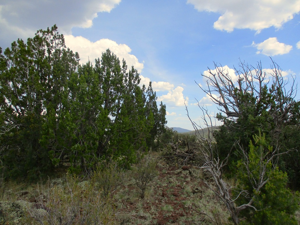
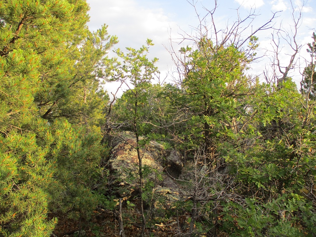
The brush and trees were densely packed, forcing me to move laterally to find lanes through the thickets. I was almost always able to keep to lanes with minimal scratches. There were copses of gambel oak that grow thickly together. While not impossible to move through, it slowed me. But since the distance was short to begin with, it did not take me long to make the top.
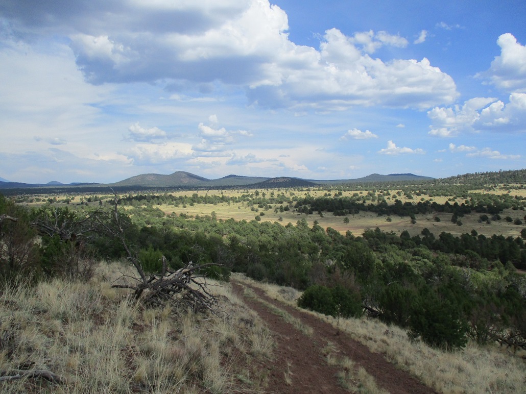
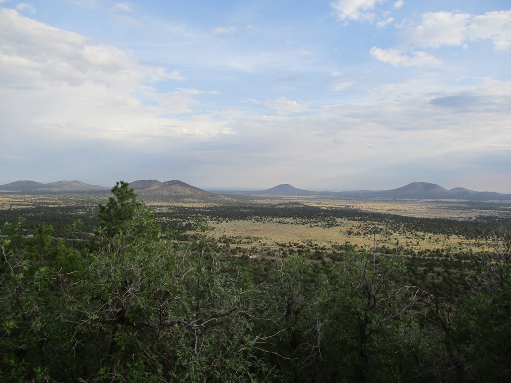
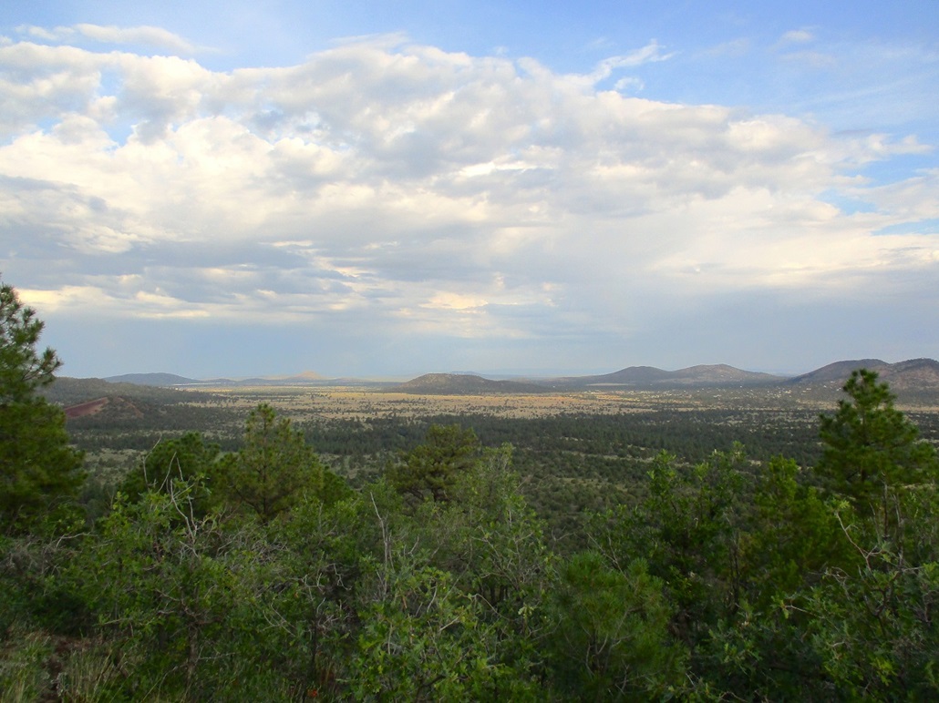
The top was a little more open, then the highpoint boulders were hidden slightly by trees. I had decent views but not great views. The sun was up but behind the clouds so I had rotten lighting for photographs. I could not find the benchmark nor a register. I did not stick around for long.
On the hike down, the sun started to poke through the clouds and provide lighting for better photographs. I moved slowly and took a couple breaks, and soon found the lower track, which I followed to my car. I had been gone an hour and fifteen minutes. I drove back out to the gate, passed through it, then sat in my car a bit to text Matthias my status and where I was heading. I was aiming for three knolls south of Williams, starting with Kunde Knoll. I texted him I'd be there roughly in a half hour. As it was, we happened to meet at almost the exact same time, a lucky bit of happenstance that meant neither of us would have to sit idle and wait for the other. As the great Adam Helman would say, "we have an agenda to keep!".
|


|