The Mountains of Arizona
• www.surgent.net
|
| Pinal Peak |
• Highpoint: Pinal Mountains • Tonto National Forest • Gila County |
|
Date: April 22, 2006
• Elevation: 7,848 feet
• Prominence: 4,073 feet
• Distance: 2 miles
• Time: 1 hour
• Gain: 280 feet
• Conditions: Pleasant
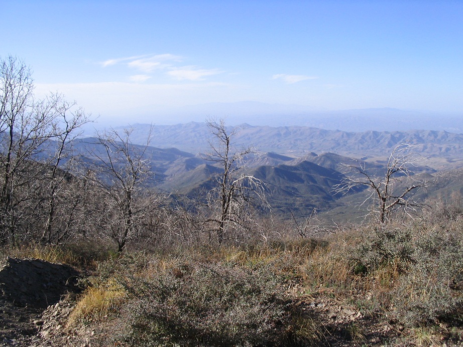
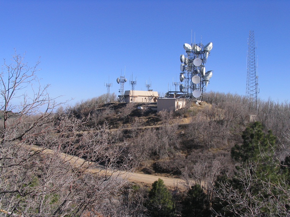
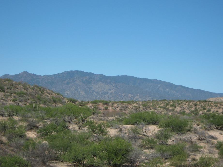
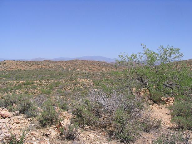
Pinal Peak is a sprawling pine-covered mountain located south of Globe in central Arizona. Its prominence of over 4,000 feet means that it is visible from miles away, and yes, it can be seen way off in the eastern horizon from the deserts between Phoenix and Tucson. Because of its great prominence, tower builders long ago built in roads and towers atop the highest summits. As a result, getting to the summit is fairly easy.
We were looking to get out of town for a weekend, and we chose Pinal Peak as our destination, with plans to camp one night high on the range crest, then stay another night in Globe. The time of year was ideal: too late for any lingering snow to shut the roads, and still pleasantly cool at these elevations, seeing as it is getting warmer about now down in the deserts.
We left the Phoenix area and got into Globe after a couple hours, slowed by Friday traffic. We got some food in town, then followed the signs to locate ourselves near the Pinal Mountains Recreation Area. This required a little attention to the many small residential roads and junctions we had to follow, but soon, we were on Forest Road 651, the road that goes to the range crest and near the summit. We still had some daylight to burn, so we didn't delay.
The road parallels Kellner Canyon and at first, was pretty good. Higher up, it narrows and gets a little washboarded. We ascended from lower grasses and desert scrub to higher-elevation pines and firs. We came to a pass, and boom, the trees ended. Now on the south-facing slopes, we drove the narrow shelf road steeply around one sub-peak to gain the actual range crest. This last portion was safe, but very exposed. Once on the range crest, we were back in the trees and well apart from any steep cliffs.
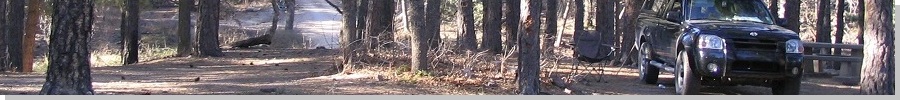
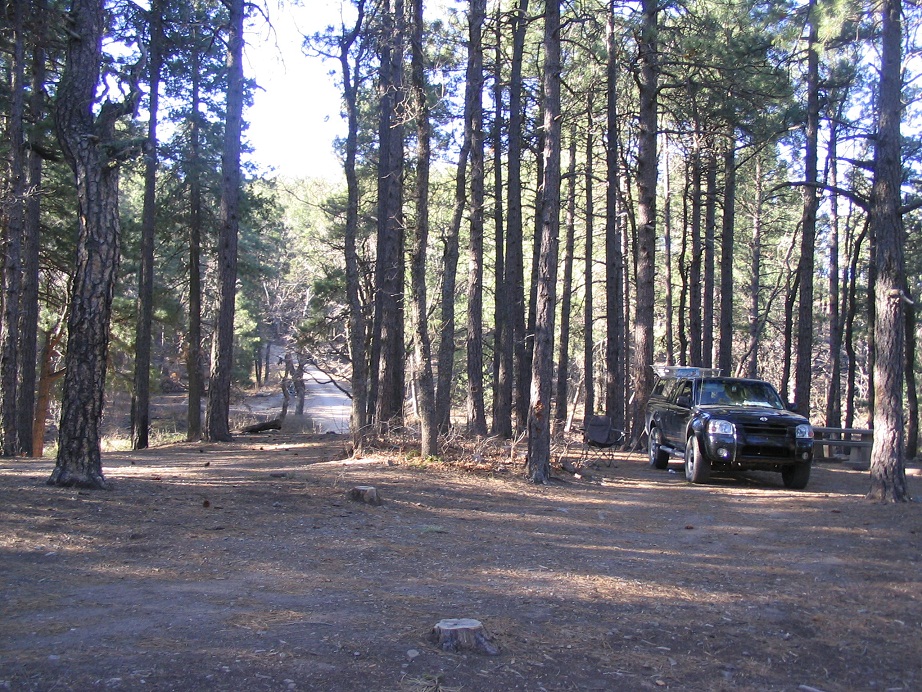
We arrived to a campground that sits about halfway between Pinal and Signal Peaks just as darkness fell. We were the only people here. I got the tent erected and built a fire. It was dark and calm. For some reason, I had a bad feeling, not sure why or about what. I mentioned it to βð who was in the truck's cab, and she said she had the same "ominous" feeling. This was weird, like the hills have eyes. I decided to kill the fire and sleep in the bed of my truck, and not in the tent, while she stayed up front.
Nothing actually happened during the night, but in the early-dawn hour, when the sky was a deep purple color with the dimmest of light, she saw a big lumbering beast amble by the truck. It was too dark to make out what it was, but logically, it could only be one thing, a bear. This is the time of year when they get active and can be ornery after a winter's sleep. Maybe we sensed they were active and that was what was giving us the subconscious willies. It was a very odd feeling, but very real too. In situations like these, we don't get too analytical and question it.
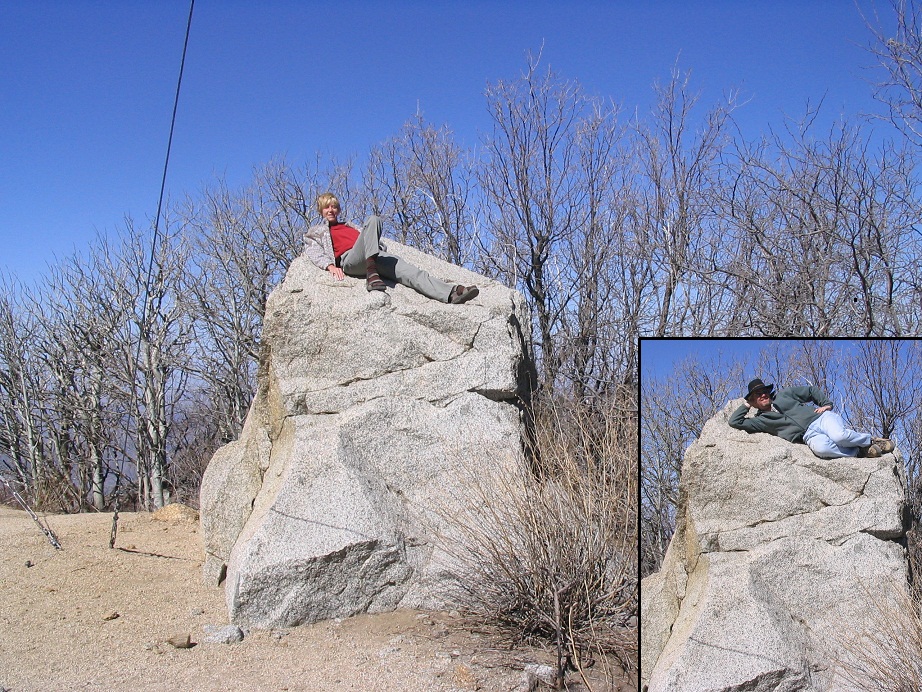
In no hurry, we let the sun rise and let things warm a little. Our plan was to walk the last mile of road to the top, but βð wasn't feeling good, so after some more time waiting to see how she felt, I went alone, and within 15 minutes had arrived to the "top", a pair of bumps with towers on them. I hiked up both and sighted back between each bump. The more substantial hill has an 8-foot high rock pillar around the back of one of the towers. This had to be the highest point.
I spent about an hour on this journey before arriving back to the truck. After packing up camp, I drove us both back up to the highest point, and we both got out to climb this rock pillar, then to pose on it for photographs. We then drove back to camp, then down into Globe. We noted some cabins in the area but saw no one. I think we were the only people on the mountain that night and this morning.
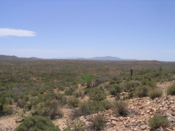
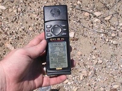
Back in Globe, we went west a little to the town of Miami, where they were having a street fair. We then spent the night in Globe, exploring some of the buildings and streets. We usually pass through Globe, so staying a night here was fun. On Sunday, we drove south to explore some of the big open-pit mines and the little mining towns like Ray and Sonora, then drove an interesting dirt back-country byway called the Florence-Kelvin Highway into Florence, stopping to log the North 33rd, West 111th confluence along the way.
Pinal Peak was at various points in the 1870s-1880s the highest point in three counties: Maricopa, Pinal and Gila. As county boundaries expanded, it lost the Gila County Highpoint honor to the two points along the Mogollon Rim, despite being just 80 feet lower in elevation. It does retain one superlative, that of being Gila County's most prominent mountain.
This confluence is south of the Florence-Kelvin Road in open desert, part of some ranch but apparently not actually used. No one was around, no hints of activity.
|


|