The Mountains of Arizona
www.surgent.net |
|
Peak 9119 • Peak 9242 These are two anonymous peaks deep in the upper hinterlands of the White Mountains, on the White Mountain Apache Nation. Scott Peavy proposed these and I was interested. It is unlikely I would ever come here on my own for these two peaks. There's nothing special about them other than they are two 9000-footers neither of us have yet to tag. Peak 9119 lies on a rough road that we took last year, on two separate trips, when we climbed Diamond and Apache Buttes last July, and then Peak 9646 in September. But we bypassed Peak 9119 both times. Peak 9242 lies about seven miles to the northeast, but requiring a different road to get close. These two are not convenient to do as a pair, but this was all we had planned. I was to meet Scott in Globe. I left Bisbee at 3 a.m. and drove through Willcox and Safford, arriving in Globe about 6:30 a.m., parking at the edge of the Wal-Mart parking lot between Globe and Miami. My trip odometer read exactly 200 miles — 200.0 — as I pulled in. I was early so I went into the Wal-Mart to "freshen up" and then wait for Scott back at my car. I had not seen Scott since last September, on the Peak 9646 hike. He pulled in slightly before 7 a.m., as agreed upon. We greeted one another and I put my stuff into the back seat, and we were on our way. The weather forecast was calling for extremely hot temperatures statewide, with highs pushing 115° in the lower deserts. For now, in Globe, it was pleasant, in the 70s, but sunny, cloudless, bone-dry and warming quickly. We followed US-60 eastbound (north) through the Salt River Gorge, then stopped at the dinosaur at the junction of US-60 and AZ-73 to get our permits. This is a Sinclair gas station, all by itself. The maps call this place "Carrizo Junction". They sell recreation day passes, $9 a person as of 2024. We've been here before and know the drill. We seem to get the same lady each time. She is friendly. In the past, She has asked us in the past if we're picnicking or birding. Technically, we would be doing both, among other things, so we answer in the affirmative. Hiking is a mixed bag, as they forbid it in some areas, with some exceptions, but it's never really clear when and where it is allowed. So we don't overplay our hand. Our "picnic" would be whatever was in our backpacks to eat, and we'd see plenty of birds during the day. They're everywhere. We saw a lot of wild turkey on the roads.
Date: June 15, 2024
• Elevation: 9,119 feet
• Prominence: 349 feet
• Distance: 1.6 miles
• Time: 1 hour
• Gain: 339 feet
• Conditions: Sunny and warm
• Partner: Scott Peavy
Arizona
•
Main
•
PB
•
LoJ
•
Interactive map
Now on AZ-73, we followed it southeast toward the Fort Apache area, where the highway makes a bend to the north. Here, we continued straight, now on the Fort Apache Road, also signed as Indian Route 46. This paved road parallels the White River, then connects to IR-55, which continues east. We left the last of the homesteads and then the pavement ended. At a Y-junction, IR-55 goes right, but we stayed left, now on IR-30.
This road is smooth but a little bumpy. It is one of the main thoroughfares this deep in the forest and high country. We gained elevation and stayed on this road for a few miles, coming to Kinney Junction, where IR-60 goes east. We continued east, then north, on IR-60 a few more miles to where IR-40 branches to the right (east). To here, we had driven about 15 miles since leaving the main highway.
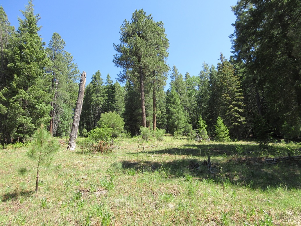
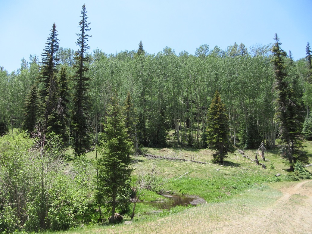
Scott drove us in another mile or so on IR-40, until we were south of Peak 9119, where a track veers left (north), shown on the map as going partway up the little peak. We parked on this track, partially hidden from the main road. It was a little before 10 a.m.. Finally, we'd be moving our legs, getting some exercise. We were at about 8,800 feet elevation, amid tall ponderosa pines. It was sunny and warm even here, in the high 70s it felt like, and very buggy. But it was very pretty too, and much better than simmering in the hundred degree heat of the rest of the state.
We walked the track but it petered out almost immediately. We entered into an open meadow, then started uphill, back into the trees. It is impossible to get a long-distance view of anything. All we did was go up, followng the southern ridge that should take us to the top. The underbrush was light, just a few downed logs and scattered plants.
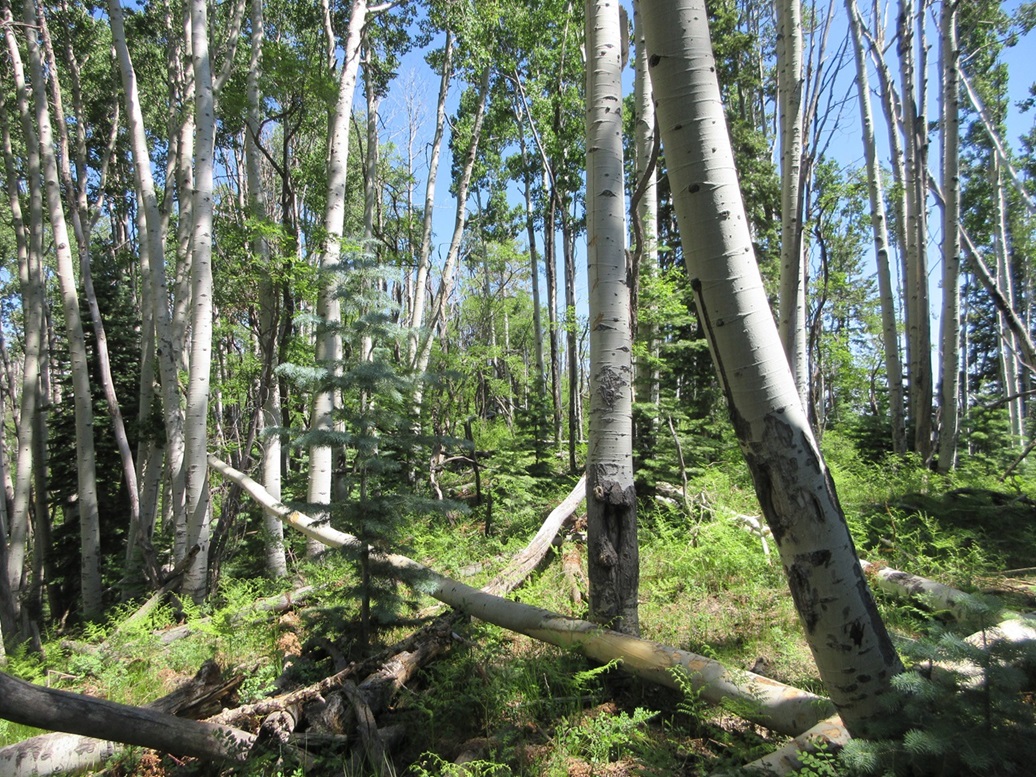
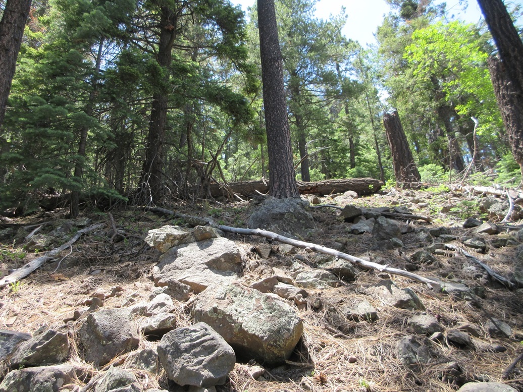
We were now on the high ridge, within the highest 9,080-foot contour that encompasses the summit ridge. Then things got messy. The deadfall was much more abundant here, and between the downed logs grew dense aspen and thorny locust brush. We were moving slowly, easing up and down past the logs often piled up two or three deep. We kept doing this, sensing higher ground whenever we could see more than 20 feet.
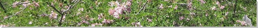
In about fifteen minutes, we had covered the length of the summit ridge, where the ground dropped suddenly, so we knew there was no more to go. The map shows that 9,119-foot spot elevation hereabouts. Other than this "feeling" like a highest point, we saw nothing that would confirm it. A large flowering plant covered most of this summit area, with faint pink flowers. There was nothing to sign in on or actually see, so we started out almost immediately.
We followed the ridge back, then finally once down below where things opened up, we made good time descending back to Scott's car. The round trip covered 1.6 miles with about 340 feet of gain in an hour. This was not a memorable hike but it counts, another 9er to claim for our records. It felt good to get at least one peak, after all the driving we had done.
We exited back to IR-60, following it northbound a few more miles to where it meets with the roads surrounding Hawley Lake. This is a popular camping and fishing spot and the whole area was packed with campers and tents. We had been here once before, on separate trips, when we hiked McKays Peak. I was here back in 2019, almost exactly 5 years ago.
Scott drove us up the paved route (AZ-473) back to the main highway, AZ-260, which goes between Pinetop and Springerville. We needed to go east a few miles and pick up another track that would lead us toward Peak 9242.
Elevation: 9,242 feet
• Prominence: 402 feet
• Distance: 1 mile
• Time: 1 hour
• Gain: 615 feet
• Conditions: Very warm, but cool in the shade
PB
•
LoJ
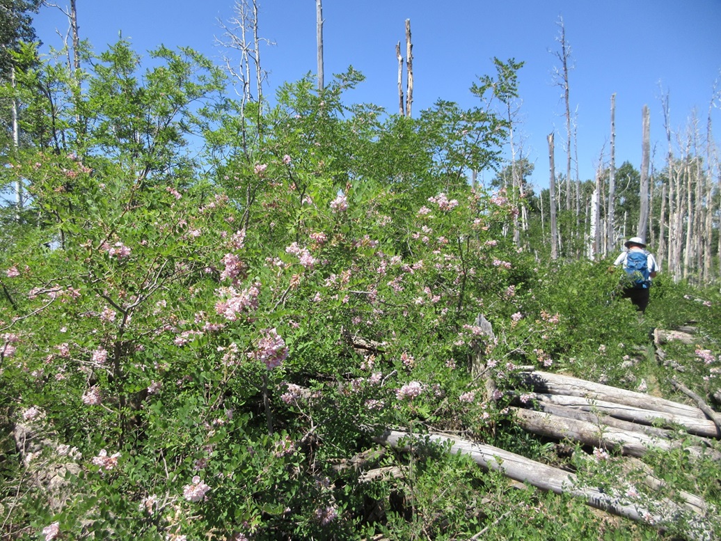
We exited off AZ-260 onto our desired road, marked IR-624 on the maps. A sign at the front just mentioned permits were needed to do various recreational activities. So we drove in on this road a couple miles. We passed a large group of people, about fifteen of them, parked near where the road crosses over the North Fork of the White River. Here, it is a flowing creek about twenty feet wide. They were picnicking and fishing and splashing.
We drove in another quarter mile, then made a left onto another track, this one not marked by a number on the map. As we started up, a truck was coming down, so we pulled aside and let him pass us. He stopped and told us the area is "closed", that there was a sign up ahead saying so. He himself was not an Indian, just a white guy like us.
Both Scott and I felt this was not accurate. Like I mentioned earlier, things can be vague up this way, but we have never seen a sign anywhere, whether today or in past visits, stating that a particular area is closed. We let the guy go on his way, then we bided our time a little bit to look at maps, but mainly to make sure our helpful friend was out of sight. Both of us felt that at the very least, we'd go in and take a look for ourselves. If there was a sign or gate or some other barrier, then yes, we would honor that.
The road in was tolerable, and we got in about two miles, parking on a side road a little northeast of Peak 9242, in Bear Cienega Creek. We saw nothing. Not a single sign or gate or anything. We were here now, and we were going to hike up Peak 9242.
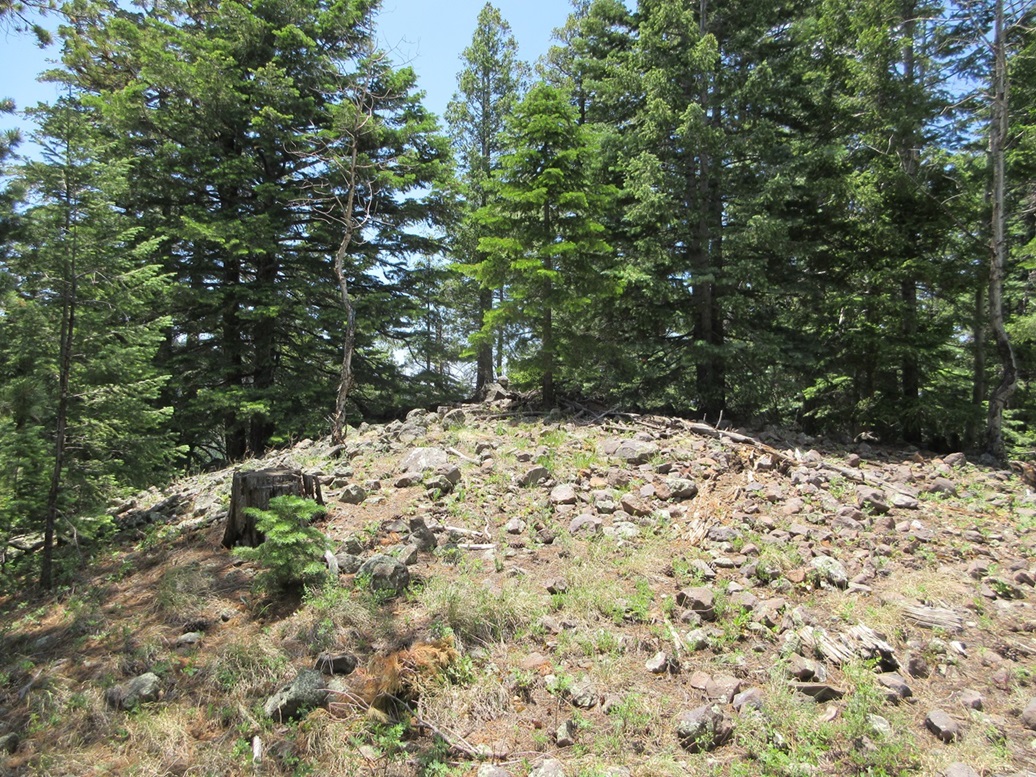
To be a little cautious, we chose to bust straight up the eastern slopes rather than walk the road and then aim for a saddle below the peak to its south. Within moments, we were well-hidden by the tall pines. It was warm, but in the shade, it was pleasant.
The terrain steepened quickly, but the slopes were mostly solid. There were a few downed logs but not many, and the slopes were rocky and held together well. We walked upward, gaining a quick 500 feet, then catching a small ridge where the slope lessened. We followed this up another hundred feet or so to the rounded rocky summit. We had gained over 600 feet in a half mile.
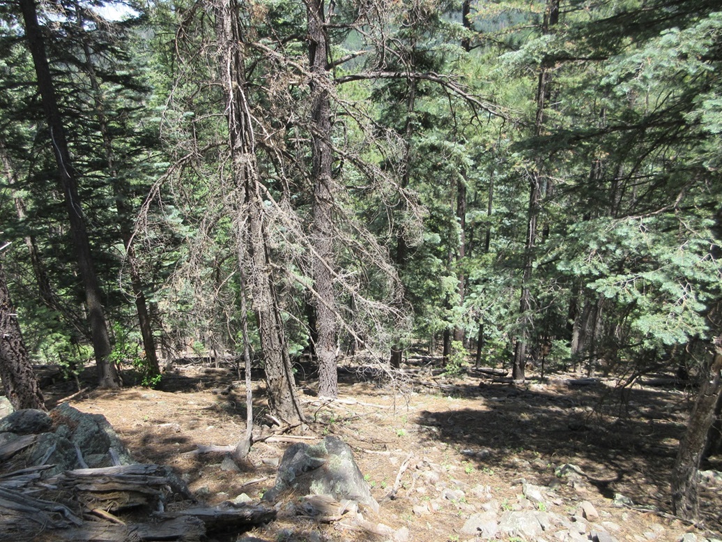
The summit is mostly wooded but there were some views, but nothing expansive. We found Andy Martin's register and signed in. Matthias was here a year ago. We were signer-inners number 3 and 4.
Because there were no views and figuring we shouldn't be here any longer than necessary, we started right back down. The descent went slow and we had to move carefully down the steep slopes, but the footing was good almost the whole way, and we were back to Scott's car, this round trip also taking about an hour, maybe a little less.
We did not waste any time. We just threw our stuff in and got rolling, back to the "main" road where those people were playing in the creek. We stopped briefly in McNary to change out of our boots, then again in Hon Dah where I got out of my jeans entirely and into more comfy shorts. It was about 2 p.m. now. We pondered if there were any easy trail hikes to a peak in the area, but we've done most of the ones like that already. We would not be doing any more hikes. Scott aimed his car onto southbound AZ-73 for the long haul back to Globe.
It took a couple hours to get into Globe, enjoying the scenery along the way. In Globe, we stopped for a bite at a Subway. It was hot here, about 102°. I wanted the sun to set a little more before I started my long drive. Scott then went on his way back to Phoenix. It was good to see him again and I appreciated his offer to join him.
I started eastbound back to Safford, then south on US-191 back toward Willcox. It got hotter, 107°, as I was nearing Safford, but as I was going south on US-191, and in the shadow of Mount Graham, the temperature dropped a lot, into the low 90s. And yes, a temperature of 90° felt refreshing after an hour of driving in 104-107° temperatures. I stopped in Willcox for gas, then motored home, the sun setting about the time I was passing through Elfrida.
I rolled home about 8:30 p.m.. I had left at 3 a.m., so this was almost an 18-hour day. I put on exactly 400 miles (the odometer read 399.9 when I parked). We put on easily another 300 miles of driving from Globe to the White Mountains and back. So for 18 hours and almost 700 miles of driving, we hiked two peaks totalling less than two miles of actual effort and less than a thousand feet of gain. But it was worth it.
|


|