The Mountains of Arizona
• www.surgent.net
|
|
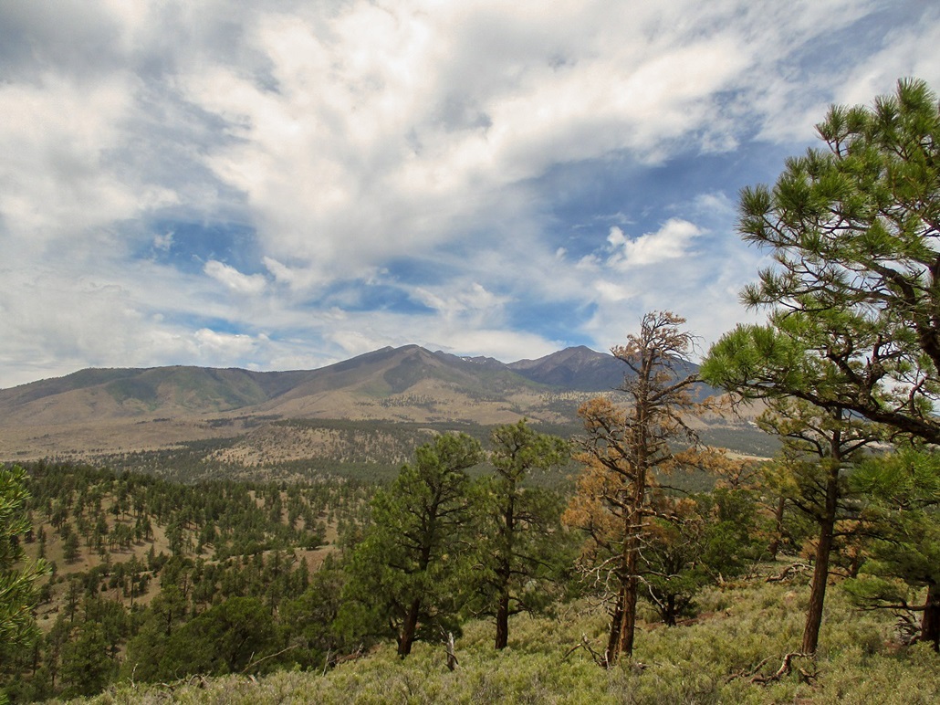
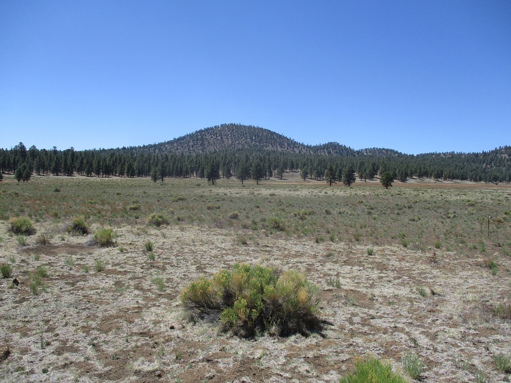
Peak 7711 • Peak 7042 I had to be out of Payson for a few days so I drove north to Flagstaff for a five-day vacation. Tomorrow I had an appointment with the Subaru service people in town to work on the Forester, so I figured, since I need to bail for a few days, spend it up here in more pleasant weather. The state would embark on its first big heat wave of 2021 this weekend, with highs in Flagstaff in the 90s, and in the 115-range in the deserts. So yeah, this was the place to be. I left Payson about 9 a.m., arriving into Flagstaff about 11, the day warm with high clouds creating somewhat humid conditions. My hotel wouldn't be available for a few hours, so I picked a couple peaks to hike, both in town with trivial road access. My drive to Flagstaff had one frustrating experience. Highway AZ-87 north of Payson was restricted to one lane due to construction, meaning we would stop then wait for the pilot car to ferry us through the zone. I was behind a work truck and we were all going about 20 m.p.h.. He clipped a traffic cone, or someone in front of him did. Next thing I know, it's being flung out from under his vehicle as he runs it over. I had no time to evade it so I ran it over too. They're pliable, but still big and heavy objects (these ones stand about 2 feet tall, weigh about 30 pounds). I couldn't stop to inspect. When I got into Flagstaff, I saw that my front right hard plastic apron was dented on its lower end, where the fog lights would go if I had any. There was no damage to the main car's body, but still, getting that dent was very annoying.
Date: June 9, 2021
• Elevation: 7,711 feet
• Prominence: 511 feet
• Distance: 3 miles
• Time: 2 hours
• Gain: 820 feet
• Conditions: High clouds, warm and humid
Arizona
•
Main
•
PB
•
LoJ
•
Interactive map
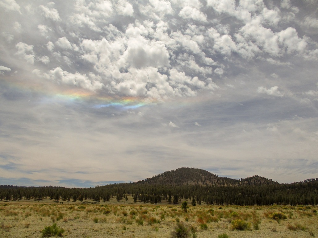
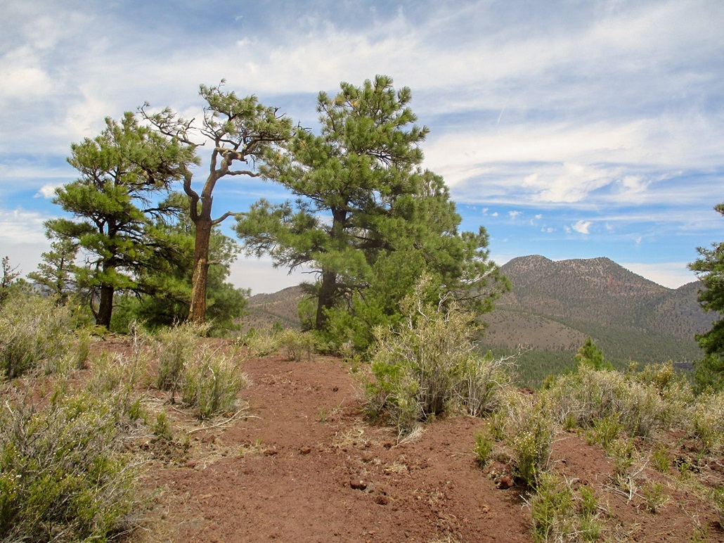
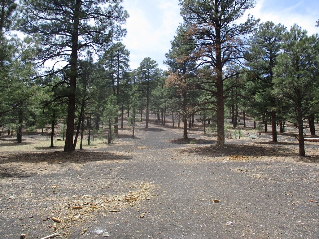
Peak 7711 lies southeast of where US-89 and the Sunset Crater-Wupatki (SCW) Road meet. The peak is an obvious forested hump set back about a mile from both roads. I parked in a dirt parking lot about a half-mile in on the SCW Road. The day was warm, in the low 80s. The hike itself looked straightforward: a mile walk across a meadow (Bonito Park) and then a bust up steep forested slopes.
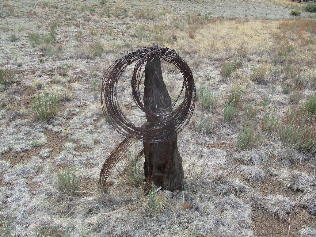
I walked through forest first, then into the open, walking a beeline toward the peak. The ground was covered in thick grass and I kept an eye out for snakes. The elevation drops slightly, then crosses an old fenceline. Here, I found a coil of barb wire resting on a stump or old post. It looked like it's been there 50 years.
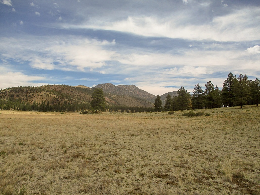
I then hiked up a gentle slope, gaining about a hundred feet, then through light forest and grass up another gentle slope. Surmounting the local highpoint, I dropped about twenty feet, now directly below the summit massif. I had about 575 vertical feet to gain from here.
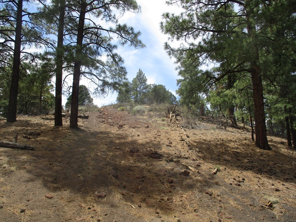
I started hiking upslope. It was immediately steep. The ground was loose rubble, covered in grass so that most of the time, it held together. Other times, it was dreadfully loose and I would have to move right or left to find some way past the rubble. I just marched upward, stopping every minute or so to catch my breath. It was dull and tedious.
After about thirty minutes, I was nearing the summit ridge. The slopes moderated and fed me on to the western tip of the summit ridge. The highpoint was about a two-hundred foot stroll through trees and brush. The top was covered in brush and a couple trees, but had good views. There was no register or cairn. I don't think many people come up here.
After a very brief rest, I started down the slopes. The grade was steep enough to where I needed to make sure each step was solid before proceeding. No "long-stepping" like I can often do on these volcanic slopes. I slalomed down, sometimes putting all my weight on my right uphill leg and scooting down with my left leg and foot guiding the way, then I'd turn the other way and do the same. This worked and I didn't slip bad at all, no UBLs (unexpected butt landings).
The round trip hike took nearly two hours and I was hot and tired afterwards. But it was still only 1 p.m., so I needed to kill another hour if possible. I thought about drinking in a bar but then saw Peak 7042 was nearby, so I went there instead.
Last comment: it may be easier to approach this peak from the north or northeast, e.g. parking near the entrance to the Sunset Volcano National Monument. There appear to be tracks one can follow, it may be shorter, and it may be easier to scale the mountain along its notheast ridge. I only mention this after studying the maps afterwards.
Elevation: 7,042 feet
• Prominence: 322 feet
• Distance: 0.6 mile
• Time: 40 minutes
• Gain: 456 feet (gross)
• Conditions: Still warm and sultry
PB
•
LoJ
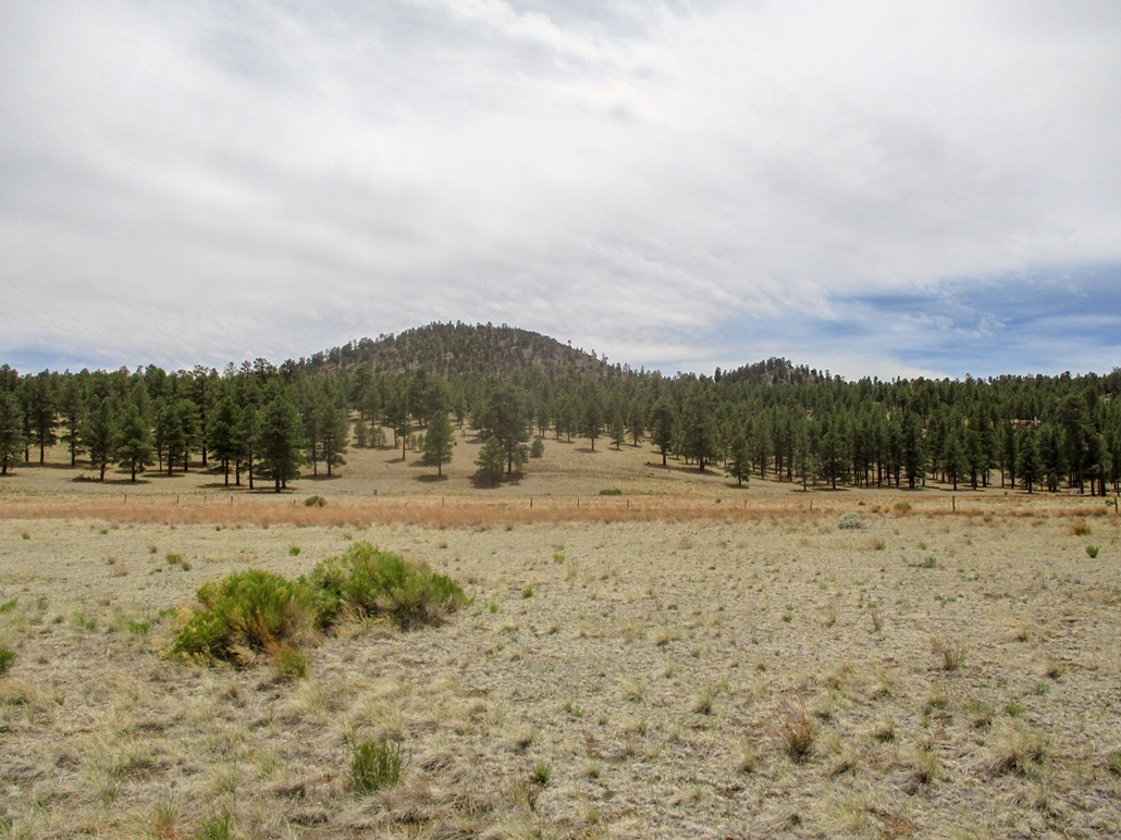
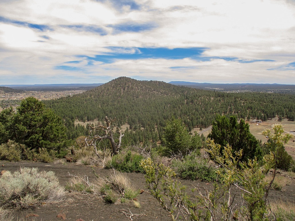
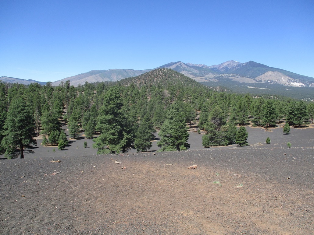
This peak lies south of Peak 7711 about four miles, and north of Old Caves Crater. It is a ranked peak, but not one I had any desire to hike, except under circumstances like today. The easiest access is via the Cinder Lake Landfill Road. About a mile in on this road from the highway, and after where the road reaches its apex, is a pullout on the left. By the looks of things, target shooters come here often. But today, there was no one.
I parked and started hiking, going slow up the loose cinder kibble and admiring the sheer amount of shells and trash left behind by the shooters. I was soon above the loosest parts and in more scrubby grassy terrain, and then, on top, being the slightly-lower northeast summit. I found an ATV path down to the saddle, and up to the actual summit. The one-way hike covered just 0.3 mile and took 20 minutes.
The top could be one of a few rock outcrops. I found a register and signed in and shot a few images. There were bugs everywhere and a couple bees, so I did not stay long. I generally retraced my route, arriving quickly back to my car.
I checked into my motel, showered, then got a meal across the street. Returning to my room I walked up a couple flights of exterior stairs. At the top of the stairs, a dog started barking at me aggressively. It looked like a pointer or something, weighing about 60 pounds. It was up on its hind haunches in pounce position, barking loudly. I yelled "control your dog" to whomever was close by, and after a couple such statements, a hag of a woman, drunk off her behind, came out and insisted he won't hurt me. Her voice was like a buzzsaw. Still, the dog barked at me. I finally told her to control her effing dog, so she finally grabbed his collar, angry at me for using the f-word.
This is what you get when staying at a budget place. I immediately went to a nearby establishment, got myself a room there, then got a full refund from this first place. I suggested that the "pet friendly" policy they have may have certain limits, e.g. in the size of the dogs allowed. It took me a few minutes to come down from the adrenaline rush.
|


|