
The Mountains of Arizona
• www.surgent.net
|
| Peak 4422 |
• Whetstone Mountains (outlier) • Arizona State Trust Land • Pima County |
|
Date: November 18, 2023
• Elevation: 4,422 feet
• Prominence: 318 feet
• Distance: 1 mile
• Time: 55 minutes
• Gain: 460 feet
• Conditions: Mix of clouds and sun, slightly humid
Arizona
•
Main
•
PB
•
LoJ
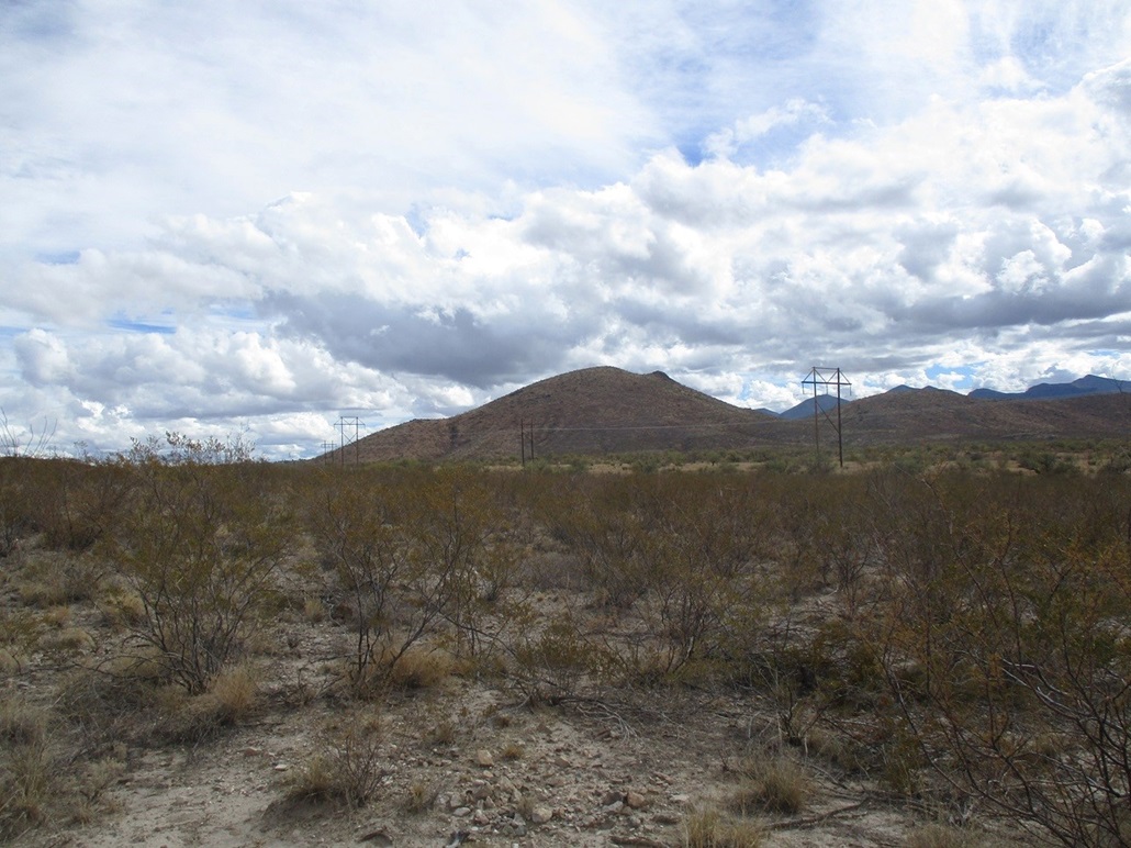
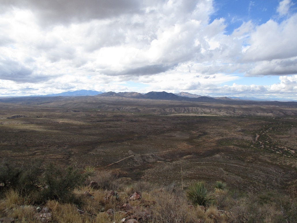
This peak rises a couple miles south of Interstate-10 at the Empirita exit, about 50 miles east of Tucson and five miles west of Benson. I was driving to Bisbee and wanted to break up the drive. This peak did not look like too much trouble.
After leaving Tempe, I passed through Tucson a couple hours later then a little more to the Empirita exit, going south. Pavement ends almost immediately. There's not much out here, no development, no towns, just a lot of hilly desert. One of the old Titan missile silos is located nearby, which probably explains why there is an exit here to begin with.
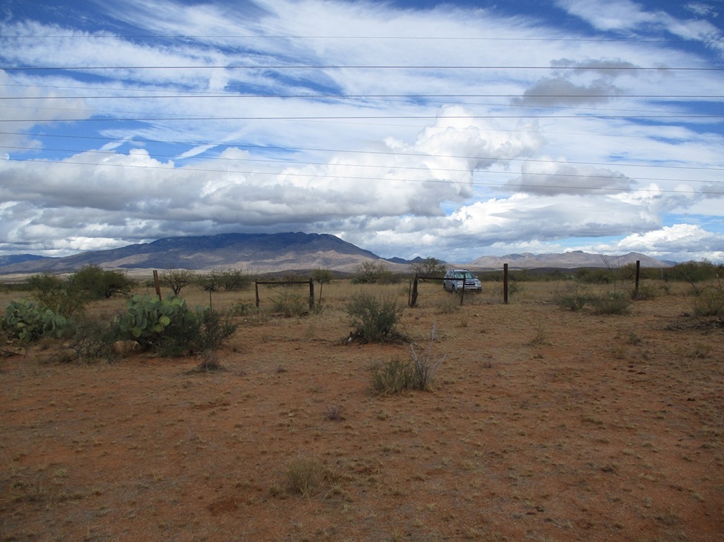
I went south on a good dirt track about a mile, coming to some fences and gates. A couple trucks with toy-haulers were parked nearby. A road branches east along power lines. I followed it a little under a mile, parking north of the hill. This last road was narrower and more rutted, but the Subaru did well on it.
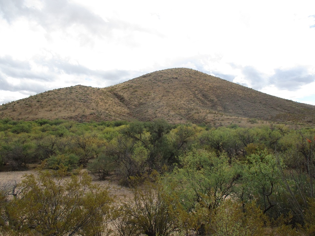
I parked near a gate in the fence that paralleled the road. This allowed me easy access beyond this fence line. I got in maybe 50 feet and got stopped: the banks of the wide arroyo that runs below the hill were too steep and crumbly to descend safely. I wasn't expecting this.
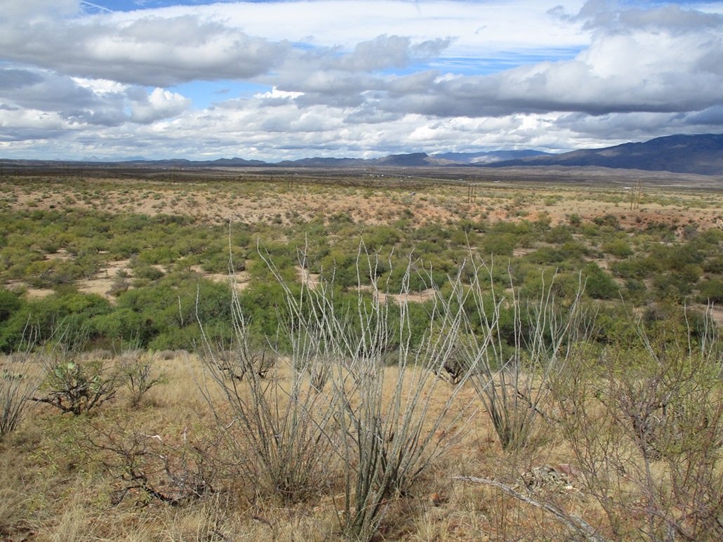
I walked alongside the arroyo until I found a spot to descend off the bluffs. The arroyo was wide and sandy, thick with mesquite trees, in some places growing close enough so that their branches formed tangles. I had to try a few things to find ways through it. This wasn't difficult, but I got a couple scratches anyway.
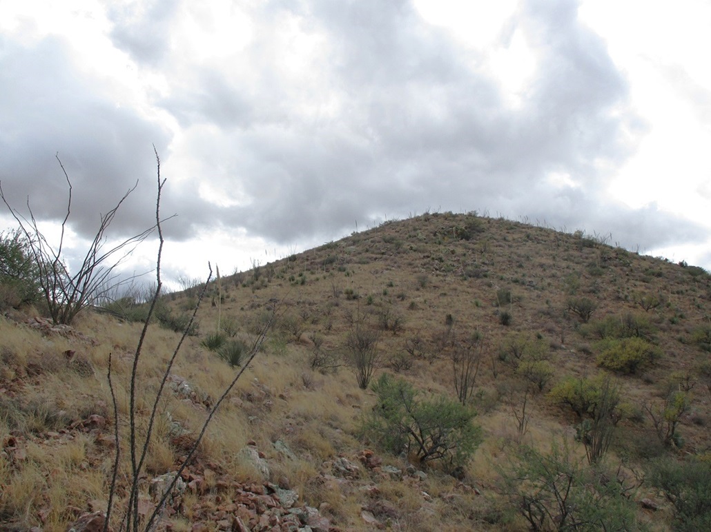
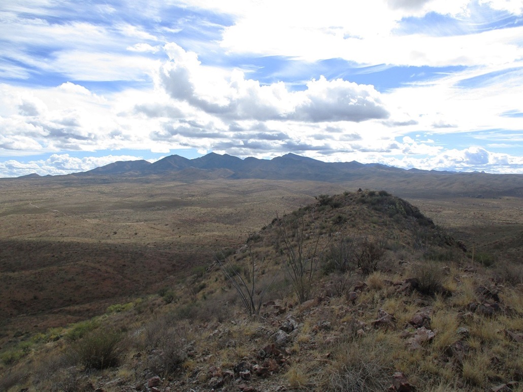
This put me on the south bank of the arroyo and conveniently on the toe of the slope that goes to the top. It was steep at first, then the grade lessened. I marched uphill through light brush and grass and a few rock tiers to come to a small hilltop with maybe ten feet of prominence. I angled off the slope to the saddle, then from there, walked up to the hill's summit.
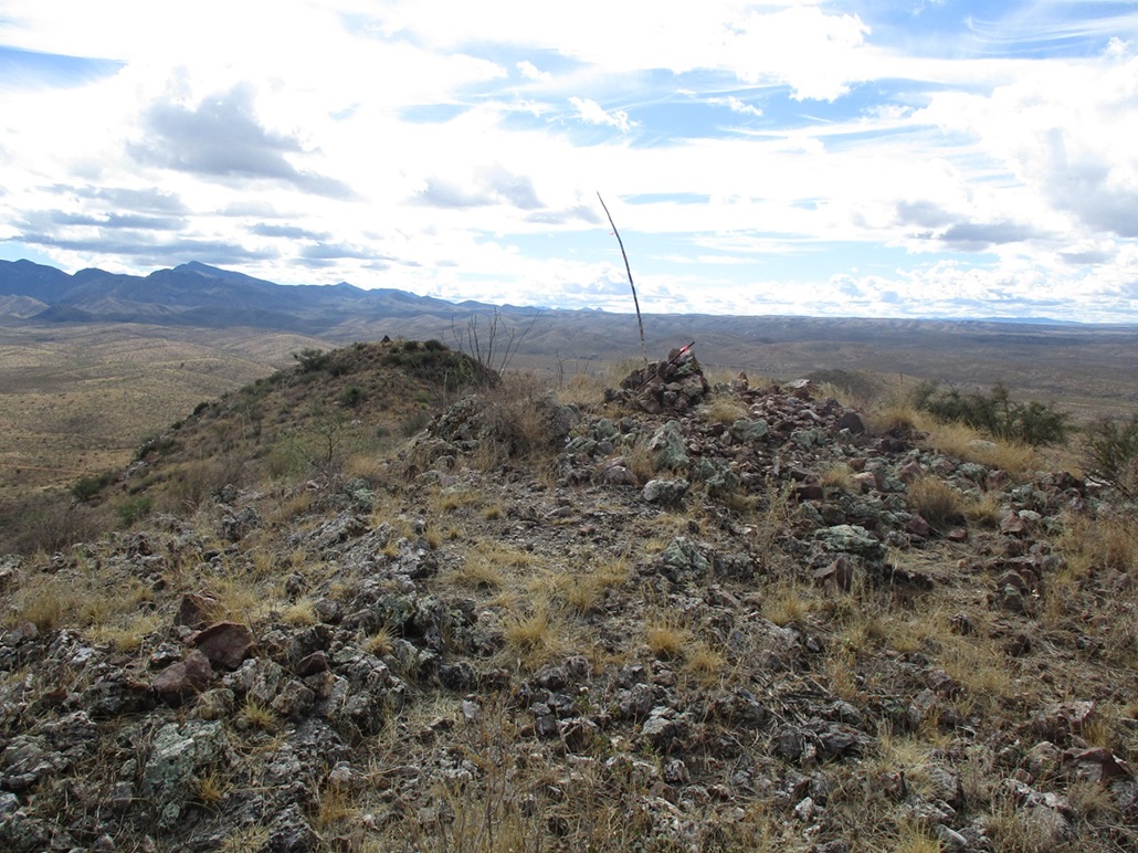
I found a cairn and register and was amused to see that this hill gets visited often, relatively speaking. Most were the usual names, and I am sure its convenient access from the interstate makes it an appealing target.
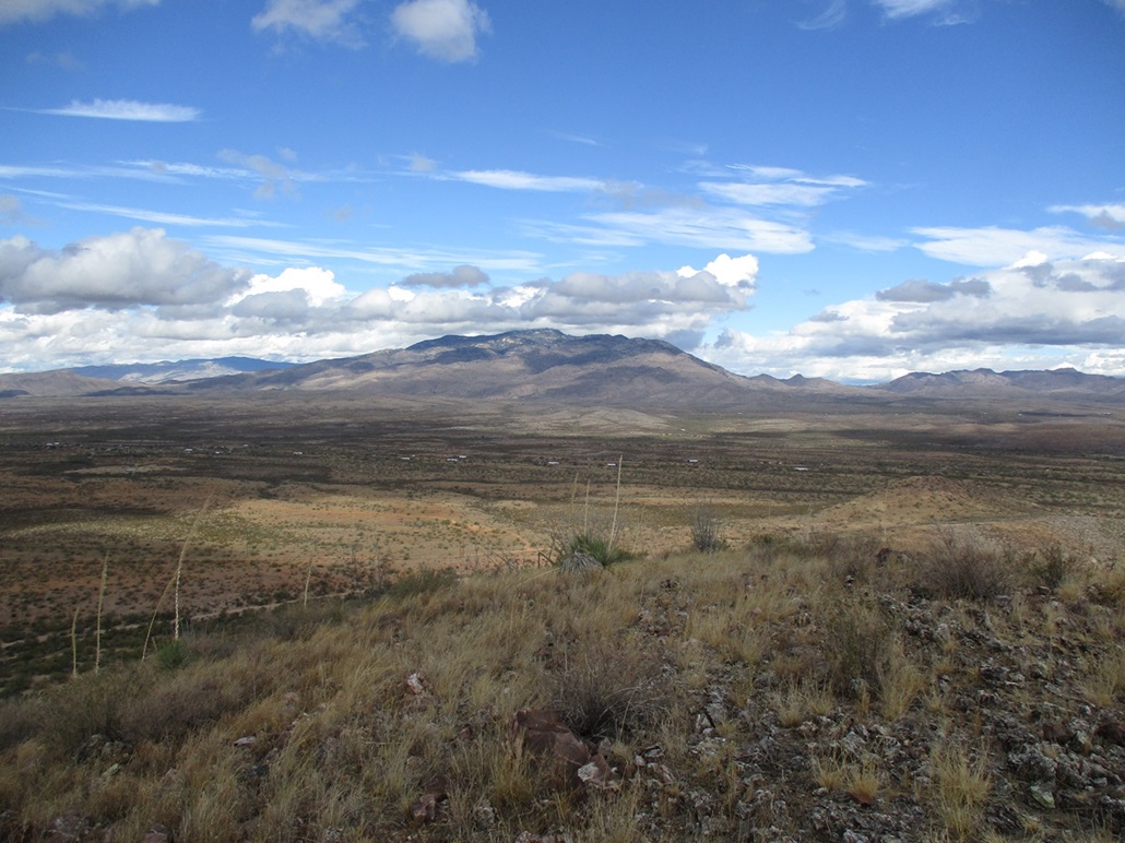
The day was blustery with a lot of low puffy clouds passing through quickly, the edge of a front that had passed through the state in the past 48 hours. It wasn't cool, only in the low 70s. It was hunid enough that when the sun was out, it was slightly sultry, but when behind a cloud, it cooled fast. I spent about five minutes up top.
I descended the same route, even following my own bootprints through the arroyo in spots. About halfway down I started hearing rifle shots - the zing sounds of the bullet and the deeper percussive sound of its firing. A hunter, probably. But then another, and another, one every 90 seconds or so. I was in no danger, but I was wondering what he was up to.
I was back to my car in 55 minutes, a perfect way to waste an hour of my life, and one I recommend. This peak had no logistical issues at all. Summer is likely too hot and snakey to be here and hunters are probably something to keep an eye out for. Now, on to Bisbee.
|

|