
The Mountains of Arizona
• www.surgent.net
|
| Peak 3820 |
• Superstition Mountains • Tonto National Forest • Pinal County |
|
Date: January 29, 2025
• Elevation: 3,820 feet ✳
• Prominence: 494 feet ✳
• Distance: 5.6 miles
• Time: 3 hours, 40 minutes
• Gain: 1,270 feet (gross)
• Conditions: Heavy clouds, cold, misty
Arizona
•
Main
•
PB
•
LoJ
•
Lidar
This unnamed peak rises a couple miles southeast of Picketpost Mountain, at the north end of Wood Canyon. It is one of the many points and bumps in these hills, but as I would discover, a very lovely summit with a nice profile and relatively easy access.
I was in the big city, teaching my class at ASU, today being the down day in between. I had a hotel in Scottsdale, and was coming off a cold, but feeling better. This hike wasn't too far of a drive, and should be something I could do while still a little weak from the cold. At worst, it would be easy to bail and exit if things got bad.
I left the hotel about 7 a.m., as the sun was rising. The day was cloudy in town, cool and moist, temperature in the mid 40s. I had no problem with traffic as I was heading in the opposite direction. In an hour or so, I was in Superior. It was much cloudier here, the peaks above town shrouded in gray clouds. When the clouds would move aside, there was fresh snow on the highest peaks and ridges.
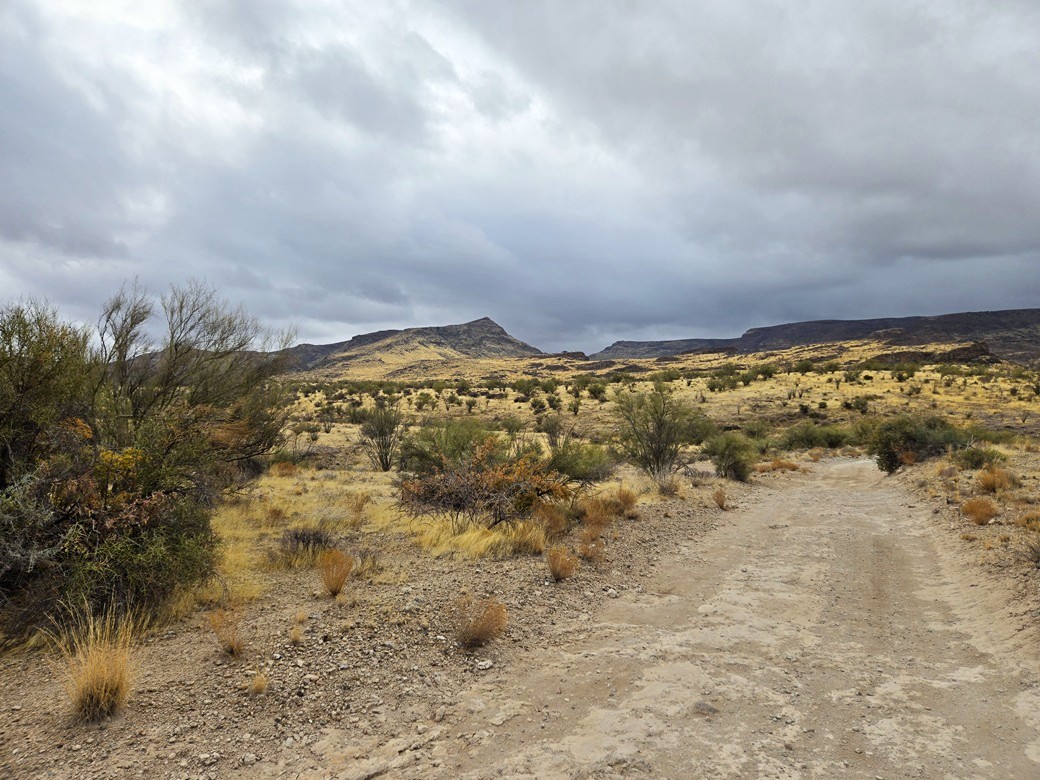
From Superior, I followed state route AZ-177 south for 2.5 miles, to Tonto Forest Road 230, called Arnett Drive on the maps, but no sign here says that. I drove in about a half mile, parking in an unused camping space. I got suited up. It was chilly, about 40° and very cloudy. But the weather forecasts said it would clear later, and did not forecast any rain except for a trace.
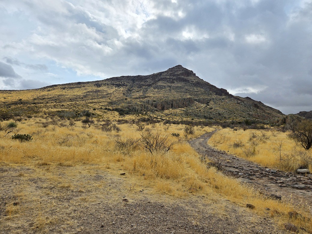
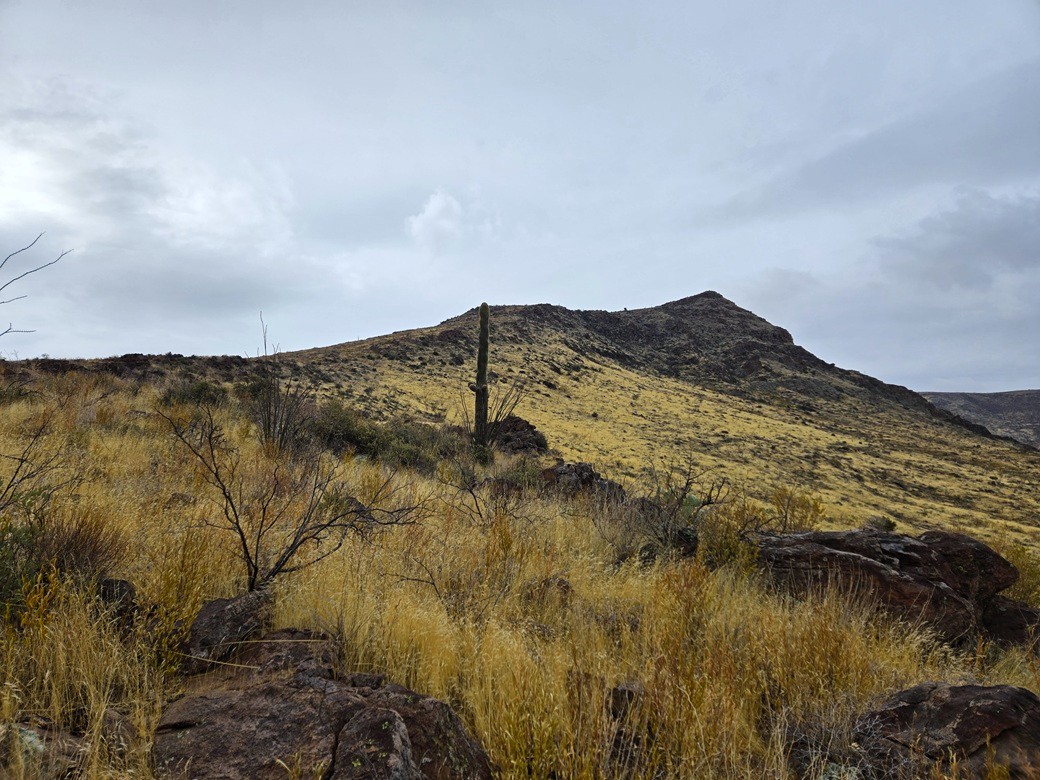
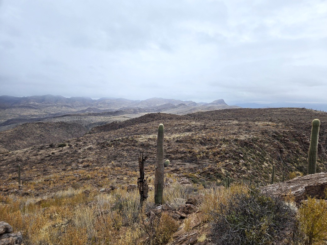
I could see Peak 3820 from where I parked. It's an obvious triangular peak in the mid-distance, the first peak of any size looking south.
I followed a road south. This road curled west and then south again. In about a mile, I was nearing the north end of Wood Canyon. The road continues into the canyon and runs below the peak, but I planned to exit it earlier and follow an elevated ridge to the top.
Inconveniently, there was a barbed-wire fence running along the road, exactly where I wanted to leave it. It was substantial, with lots of vertical posts so that pulling down or prying apart the strands wasn't possible. Stepping over or squirming under wasn't possible either (that, and the mud if I went low).
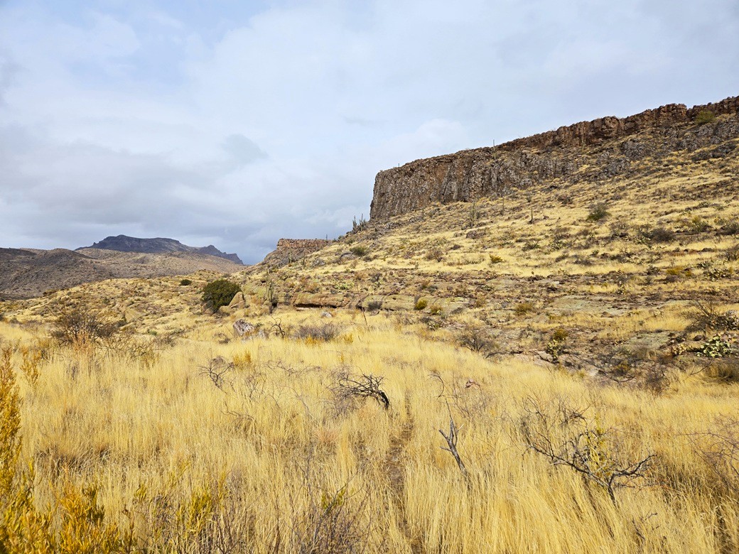
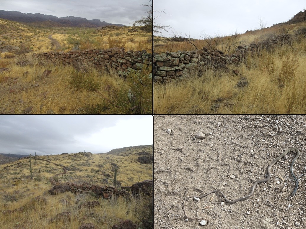
Up ahead, I saw where this fence line ended, near a stone wall that go up the slope toward some cliffs. This intrigued me, so I walked over to it, and up the slope a little. I found a spot where it looked easy to step over the rock wall. This wall is about 3 feet high and is just heaped rocks, using no mortar. Who put this in, I don't know.
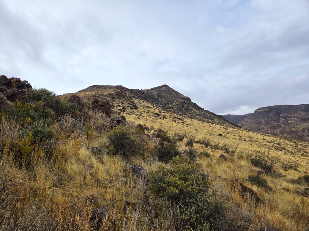
I walked up the grassy slope amid large rocks until I was on top the ridge, about a 125-foot gain. The peak was still over a mile distant, but closer than before. I could see the long ridge I was on connect up agains the peak's mass off in the distance.
So I got busy walking. The terrain was rocky, sometimes slowing me down because each rock wanted to roll, or I had to ease my way through a jumble. Other times, I had open country and good game paths to follow. The weather was staying steady. No rain yet, no signs of it around me (no virga). It was still cool, in the 40s.
I was soon at the lowpoint of this ridge where it connects to the peak. Here, I found more stone walls, these very impressive. They ran about 200 feet, essentially across the lowpoint of the ridge from one rock outcrp to the next one. The ranged from 3 to 5 feet high, and were well-constructed. Did the Indians put these in, or ranchers? I don't know.
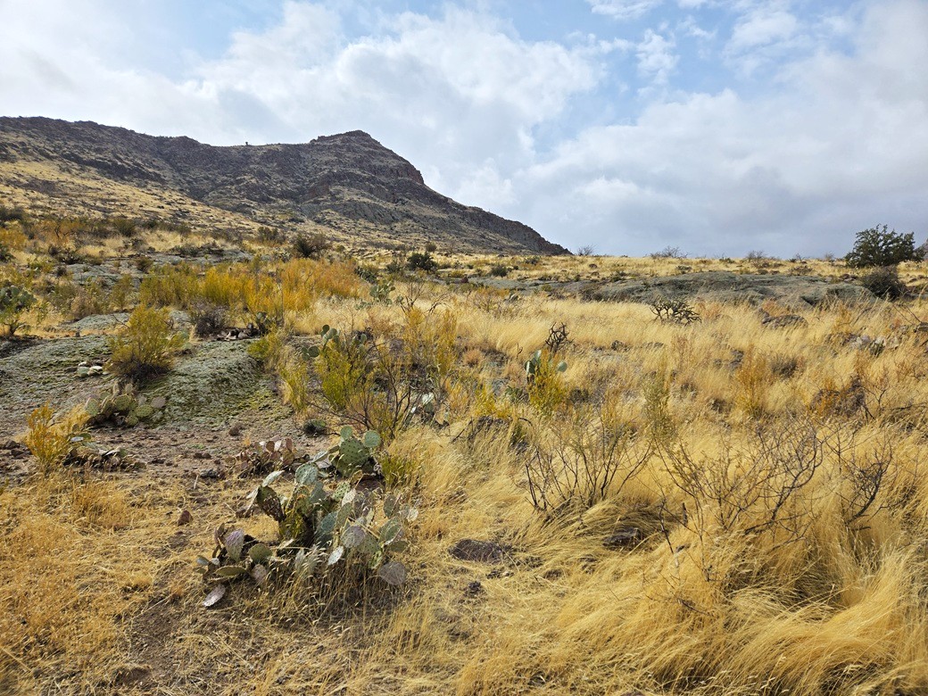
After crossing these walls, I was now on the peak itself, slowly marching uphill through moderate grass, rocks and brush, mainly palo verde. It was easy but not quick. The rocks were apt to move with each step.
I angled right and busted up through one rocky section, the only time today I used my hands on the rocks. Above that, I had more slope to the top, but nothing blocking me. The final hundred feet was through a burn. The top itself is rocky and brushy. It had taken me exactly two hours to get here.
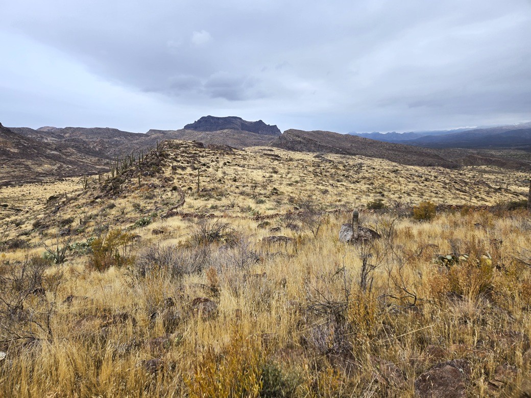
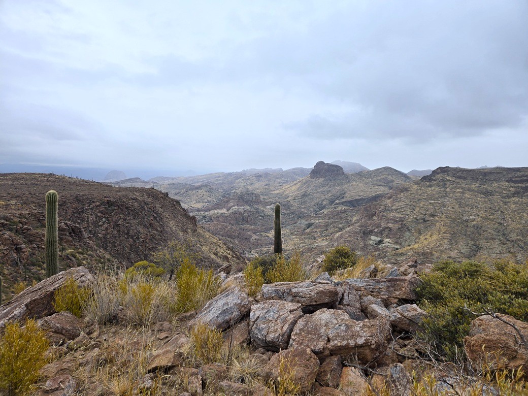
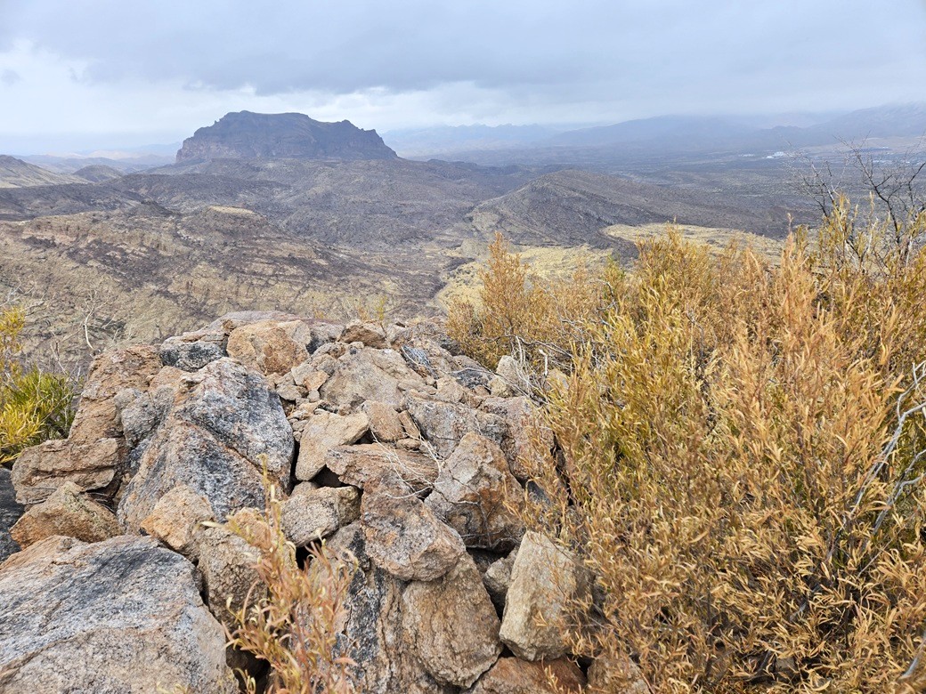
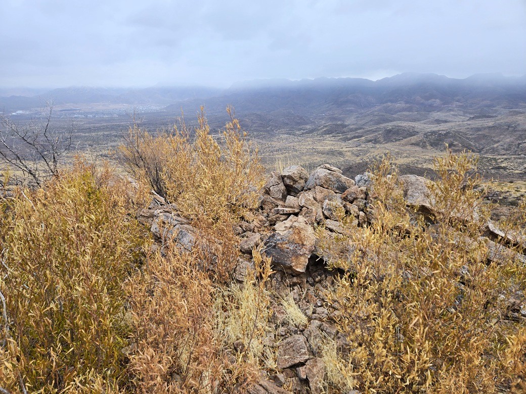
Despite the clouds and mistiness, views were good. The sun would occasionally peek through to light up everything. This is an area I know little about, so other than big obvious Picketpost Mountain, most of the other peaks have no name, or I don't know the name. I've hiked just a few.
I could not locate a register. I found a few rock piles that looked like cairns but none of them held the register. I did not spend too much time looking for it. It was cold and I figured I better keep moving. No rain yet.
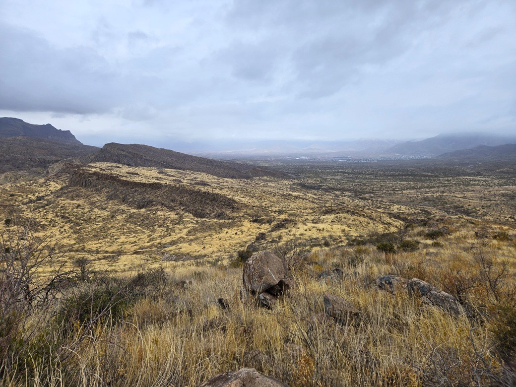
Going down, I got back to the lowpoint near the stone walls, then descended directly west into Wood Canyon, aiming for the road. I did not want to repeat my ridge route out, thinking the road would offer better footing.
This worked very well. The slopes were grassy but lenient, with some exposed rock to walk on which helped. I was soon back to the road. The sun came out about now for about fifteen minutes.
I walked the road back to my car, the outbound hike taking about 90 minutes. I don't think it saved me any distance, but it surely saved me time. I even saw my first snake of 2025, a thin whipsnake laid out in the road, its tongue flicking in and out. He looked like he had things under control, so I left him alone.
I was back to my car just shy of noon. I did not change. Instead, I just piled in and drove out. Back in Superior, the rain fell, and looking to where I had just been, everything that way was in clouds and mist. I couldn't see a thing. I timed it well, it seems.
I drove about twenty miles, exiting the highway (US-60) at the AZ-79/El Camino Viejo exit. I parked in a gravel lot north of the highway and spent almost an hour there.
I had maps and some plan to look at a couple peaks nearby, but with the rain and cloudiness, cancelled those hikes for another time. I answered a few student emails and kept up on my classes. I looked at maps for other ideas, and also just relaxed. A few others stopped in for a few minutes at a time — some forestry crews, a trucker, other drivers.
After an hour, I decided I had a rewarding day and drove back to my hotel, where I showered, then took a two-hour nap. I felt fine on the hike, but the fatigue seemed to catch up to me afterwards.
Peak 3820 was a real treat, but seems to be rarely climbed. Just a handful of names at Lists of John, and only one at HikeArizona (and he being one who signed in at Lists of John). I enjoyed it, and thought it was a worthy peak.
The road that I followed in and out is rough. I might have got the Subaru in another half mile but that would have been challenging. It gets much rockier and would need a more substantial vehicle once in Wood Canyon. For hiking, the road is fine. I would suggest to follow the road in until below the peak, then angle southeast to the saddle, then to the top.
|


|