The Mountains of Arizona
• www.surgent.net
|
|
Peak 2144 • Apache Vista These two peaks sit astride of Apache Wash, one of the watercourses in north Phoenix that occasionally swells with flood runoff and directs it toward the Cave Buttes Dam. Today was cold and cloudy, with some sun. A storm had just barrelled through in the past day, the second one in a week. Things were wet and brisk still. Highs would be in the high 40s, rare for Phoenix. I was ... doing nothing. Bored out of my mind. I had no plans to get out but by noon it was all I could think of. Fortunately, I have a "go-to" grab-bag of hills and bumps in the greater Phoenix region I can get to easily, and hike without a whole lot of advance planning.
Date: December 28, 2019
• Elevation: 2,144 feet
• Prominence: 364 feet
• Distance: 4 miles
• Time: 90 minutes
• Gain: 425 feet
• Conditions: Sun and clouds, blustery and very cold
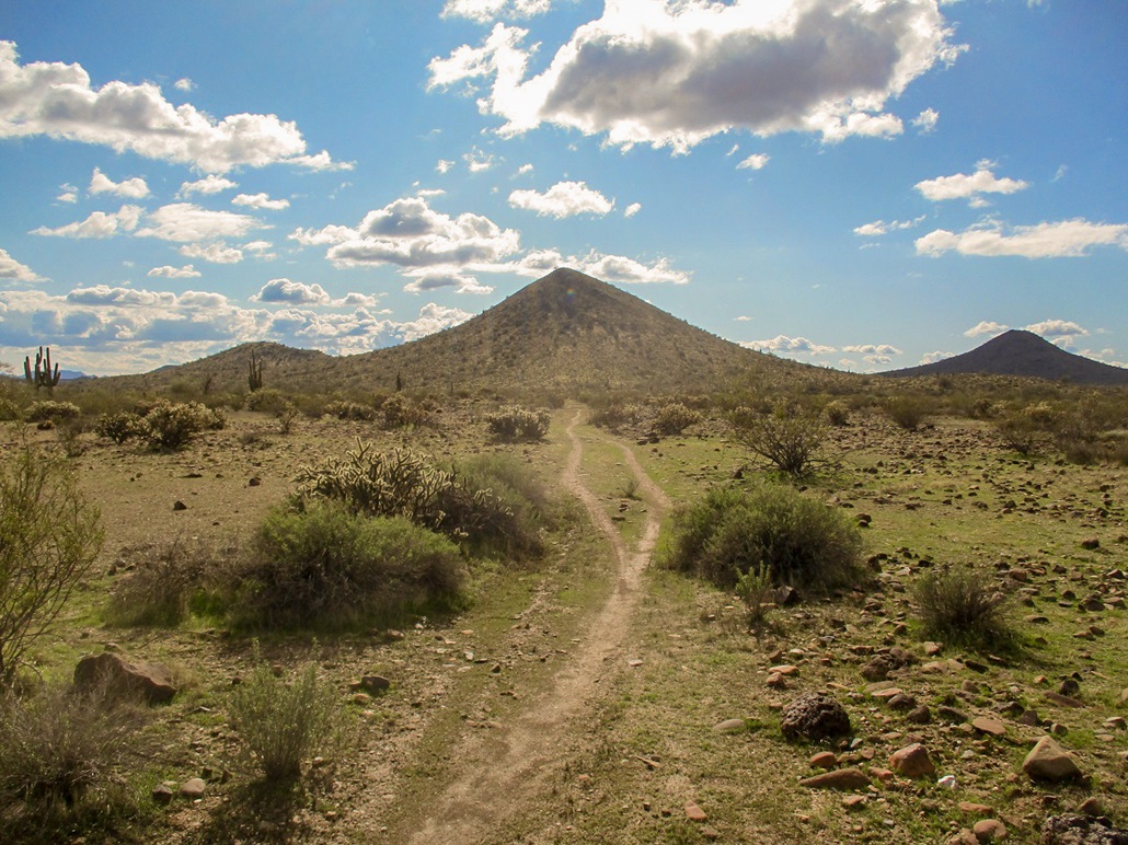
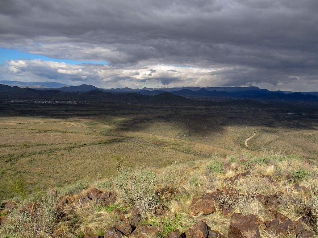
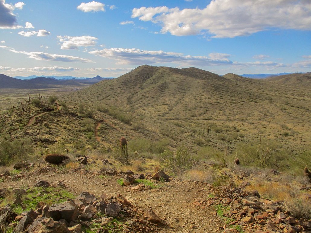
Which brings us to this peak, Peak 2144, in the southern band of the Union Hills. It is south of Sonoran Desert Drive, and north and west of the Cave Buttes flood control dam area. There is no trail to it, but it is reasonably close to a road and did not look like too much trouble. I have this vague intention to climb all the ranked peaks in the Union Hills. So I left home at noonish and drove here, taking the Loop-101 to the Cave Creek exit, and north to the Sonoran Desert Drive, then to the Apache Wash parking lot and trailhead. I rolled in about 12:30 p.m., things much cloudier up here.
I got my boots on and went light, just carrying a bottle of water and my poles. I walked a half-mile south back to Sonoran Desert Drive, crossed it, then hopped up a berm and onto the open desert lands owned by the city of Phoenix. This is all undeveloped and part of the Cave Buttes Dam, which catches the occasional floodwaters from the Skunk Creek, but most of the time, just sits there, hiding in plain sight.
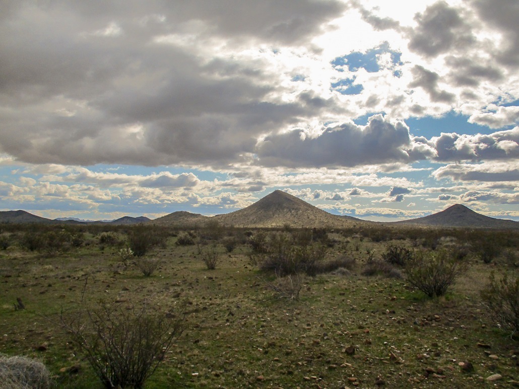
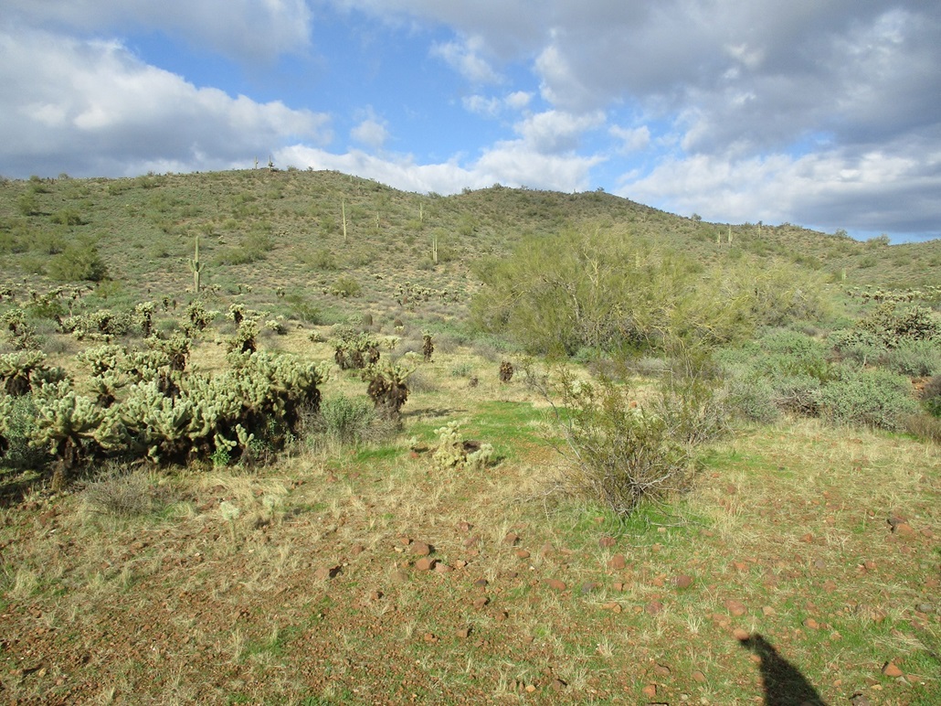
I walked about a mile and a half across the desert flats, green now with newly-grown plants sprouted by the rains. It was very pretty. Brush was light and soon, I came upon a track that went exactly where I was headed. This helped me a lot. Things got brushier where I had to cross a couple arroyos, but I was able to weave through it by following game paths.
I was on the north slopes of this hill, and it all looked equally good, so I just marched upward. Toward the top, the slope steepened and some of the bigger rocks were loose, due to the softness of the wet ground. I moved carefully and was able to work up these slopes and occasional rocky scrambles. I was on top after about 40 minutes.
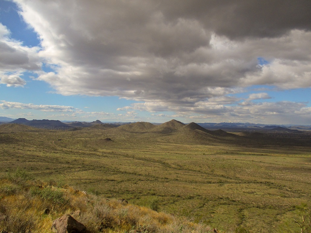
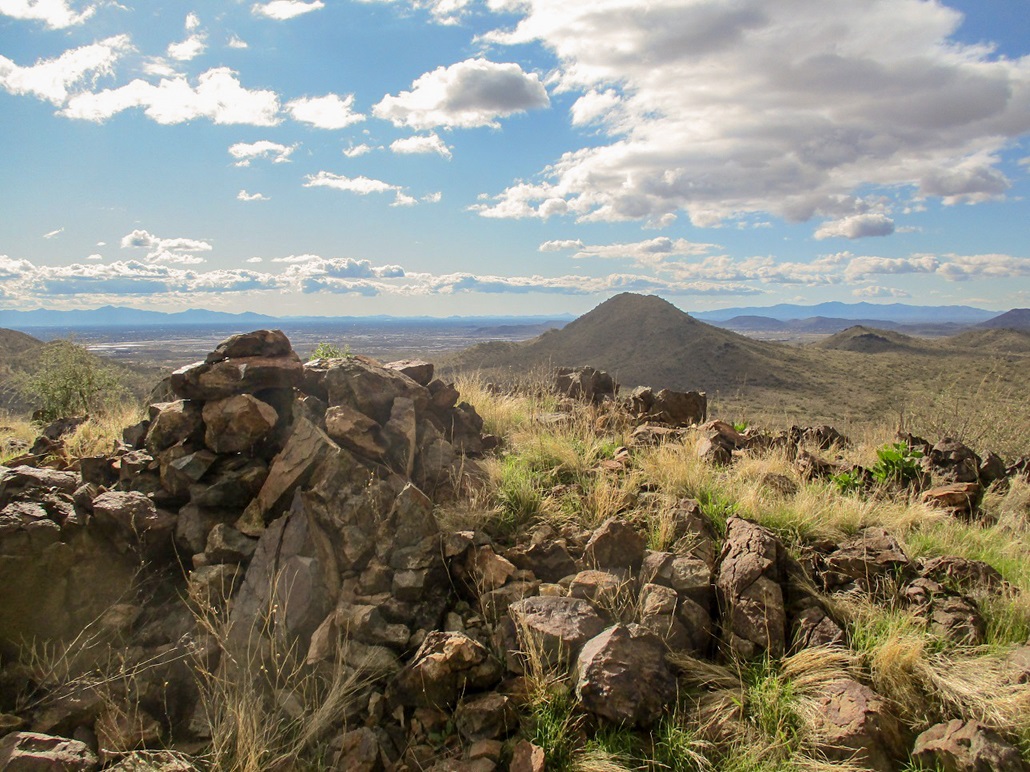
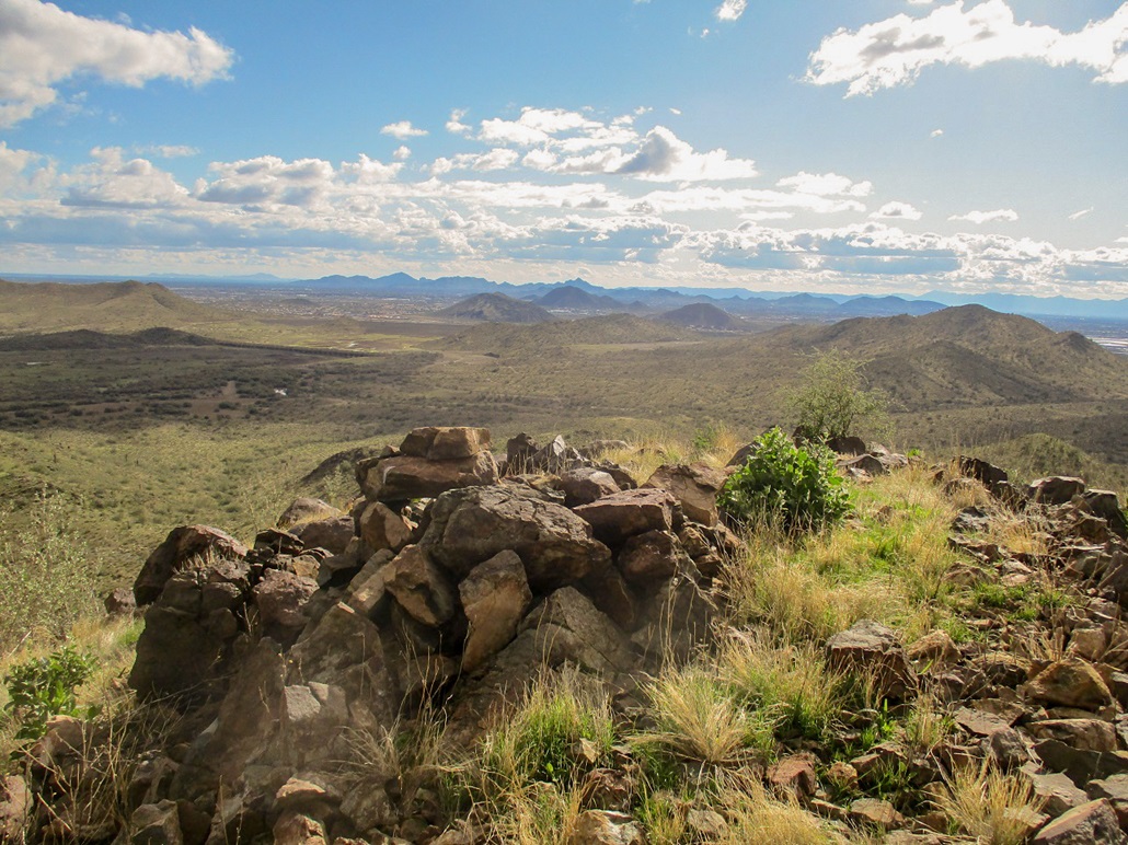
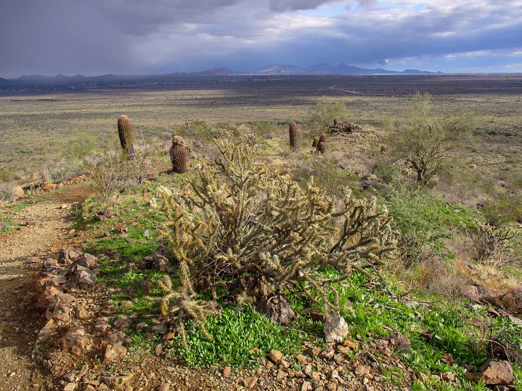
The views were good. I took a few photos, but the cold breeze was uncomfortable. I did not stay long. I looked for a register but found none. The top has a decent-sized cairn, so people come up here occasionally.
Going down, I headed west down a friendlier slope. This went very well. I was able to scoot downward quickly and only needed hands once or twice. Once down off the steeper slopes, I started cutting north again and was soon on the desert flats again. I essentially followed the same route back to my car, even seeing my bootprints from an hour earlier in spots. The round trip covered 4 miles and took 90 minutes. I came out unscathed except for a couple scratches from a barrel cactus.
It was barely 2 p.m. when I got back and I did not want to go home so fast. So I stuck around and hiked a nearby hill, Apache Vista.
Elevation: 2,010 feet
• Prominence: 230 feet
• Distance: 2.5 miles
• Time: 1 hour
• Gain: 280 feet
• Conditions: Sun with clouds, windy and cold
LoJ
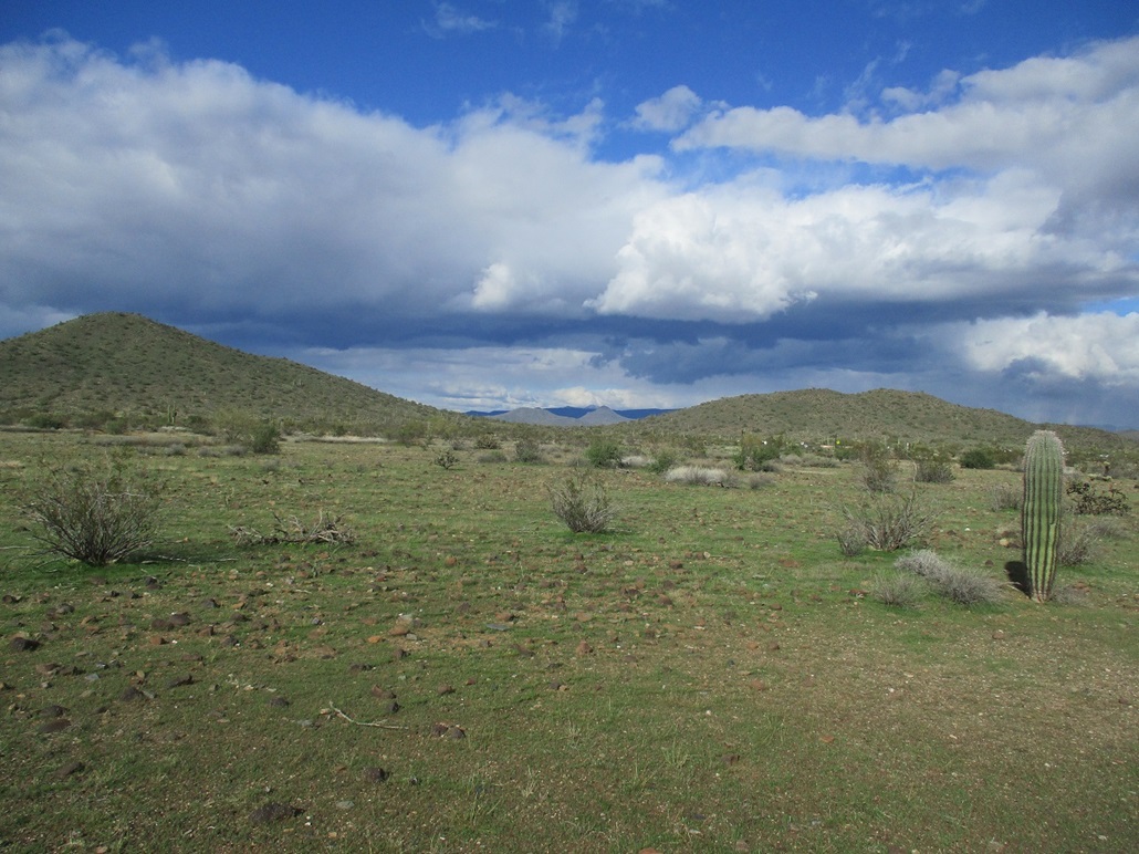
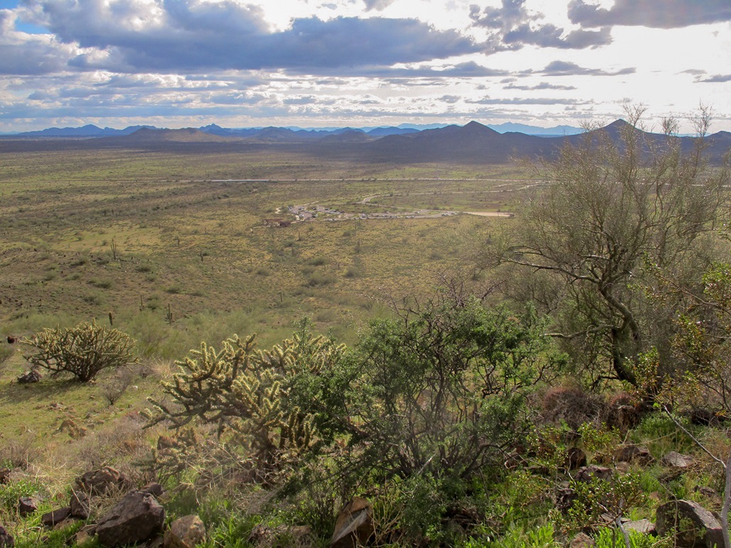
I had just hiked Peak 2144 and returned to the Apache Wash Trailhead parking lot. Since I was already here and dressed for the dance, I decided to tag the top of Apache Vista, the small hill immediately above the parking lot. It is one of a handful of hills in the Sonoran Preserve, north of Sonoran Desert Drive (old Dove Valley Road). I've been here a couple times before but for other destinations. Today would be a good day to visit this hill.
I followed the Sidewinder Trail to the right (east) of the hill, traversing it in a counter-clockwise orientation. The trail is wide and well-maintained, popular today with a lot of hikers and bicyclists. The weather was cold and brisk, temperatures about 50 degrees Fahrenheit, with a mix of sun and puffy clouds.
I followed the trail for 0.86 mile (going by the sign at the trailhead), then went left on Apache Vista Trail, which meandered another 0.51 mile to the top. Actually, this includes a loop, which I did not fully complete, so I may have to lop off 0.1 or 0.2 mile from my figures. At the top, I had good views of the surrounding desert and hills, and a stiff cold wind. I did not stay long.
I walked back down the Apache Vista Trail to the Sidewinder Trail, then on it for 0.32 mile to the Apache Wash Trail southbound for 0.40 mile, then back to the trailhead in another 0.35 mile. The hike covered about 2.4 miles and took an hour.
This was a good second peak for the day. Together, my two hikes covered over 6 miles, and I was pleasantly tired back at the car. Apache Vista is a nice, short hike. I would not drive all this way just for it alone, but combined with other hilltops, it is a worthwhile destination.
|


|