The Mountains of Arizona
• www.surgent.net
|
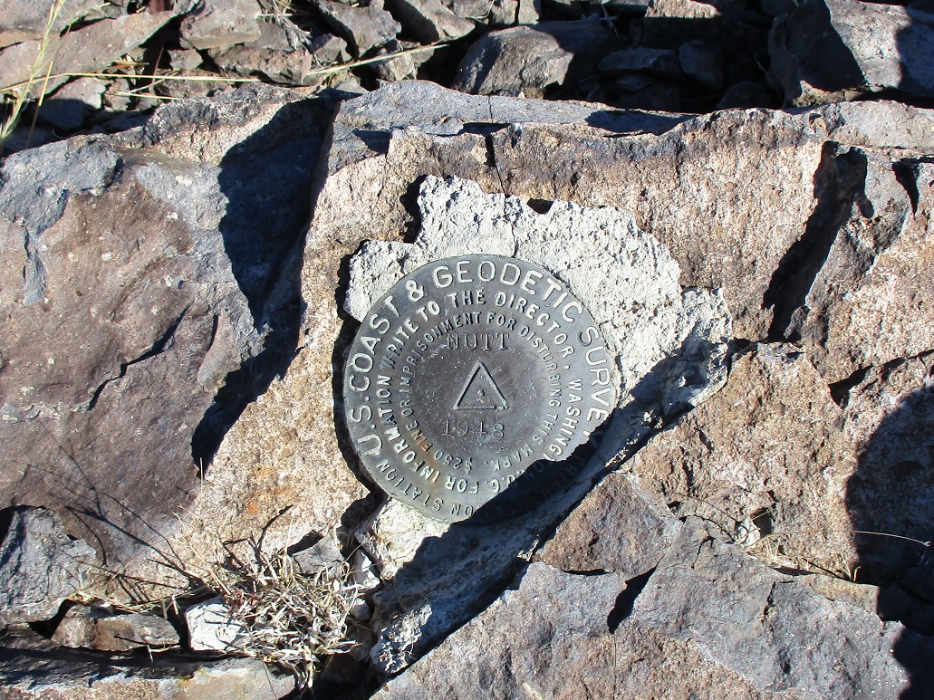
| Nutt Benchmark |
• Highpoint: Mount Nutt Wilderness • Black Mountains • Mohave County |
|
Date: December 11, 2021
• Elevation: 5,216 feet
• Prominence: 1,776 feet
• Distance: 9.6 miles
• Time: 6 hours
• Gain: 1,630 feet
• Conditions: Cold and clear
Arizona
•
Main
•
AZ P1K
•
PB
•
LoJ
•
USGS BM Datasheet
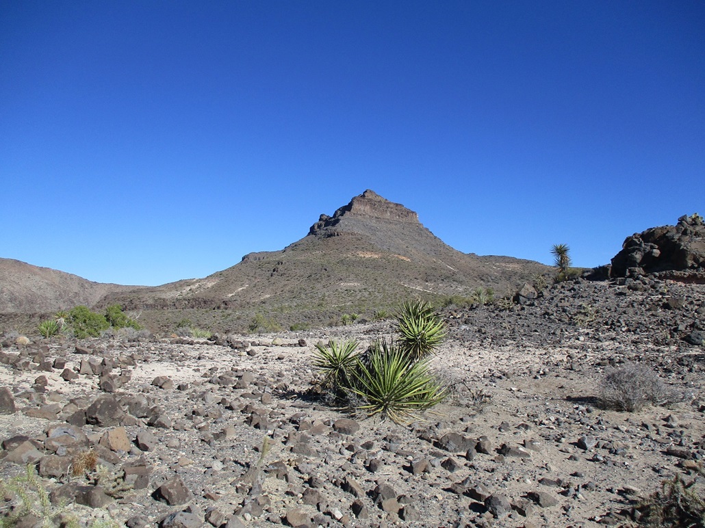
Nutt Benchmark is a mountaintop in the southern Black Mountains of northwest Arizona. The Blacks run roughly a hundred miles, from Lake Mead south to past Oatman. Nutt Benchmark is the highest point of the southern Blacks, and is not to be confused with nearby Mount Nutt, which is about 150 feet lower in elevation. The southern Blacks are noted for its abundance of steep-walled canyons and mountain ridges with cliffs. It ironic that Nutt Benchmark has a gentle profile, no bands of cliffs to block passage.
I was heading to Nevada for a few days to visit with my father, but broke up the drive over two days and a night in Kingman. Yesterday, I left home and stayed in Kingman, breaking up the first day's drive with a hike up Peak 4449. I was in Kingman by late afternoon, staying at a Super-8 and eating at a Denny's. It was cold and very windy. I had forgotten how perpetually windy Kingman is.
Next morning, I was up reasonably early. From Kingman, I drove Interstate-40 a few miles to the Oatman Exit, which is also Old Route-66. Oatman Highway runs across a broad desert valley, then ascends steeply and narrowly to Sitgreaves Pass, the highest point of the highway. The town of Oatman is a couple miles down the west side. It had been well over a dozen years since I drove this road. I recall it being scenic, but don't remember the roads being so narrow. In many spots, there was no shoulder and no guardrails.
I arrived at Sitgreaves Pass about 7:30 a.m., the sun still low in the east. It was clear and very cold, roughly freezing for the moment, but sunny. The humdity was nonexistent and it would be a bright blue sky day. I parked in a dirt clearing on the north side of the pass, backing my car in a couple hundred feet. It wasn't hidden, but it wasn't right on the highway either. I got dressed properly, packed, the car locked, and started on my way.
First up: confusion. In my hand I had a map with a GPS track on it that shows a route from Sitgreaves Pass that heads north to a distant saddle, then up to the summit. I was expecting something here, perhaps a cairn or some sign of a trailhead. Surely, others hike this peak this way, there must be something. I walked along the road making sure I didn't miss anything. So back to near my car, I looked up at about a hundred-foot high rock slope. With no better ideas in mind, I hiked steeply up this slope, and hoped for the best. Once on top, within feet, I found a large cairn and a faint path. Ah, here is the trail they talk about.
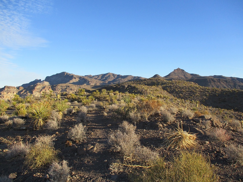
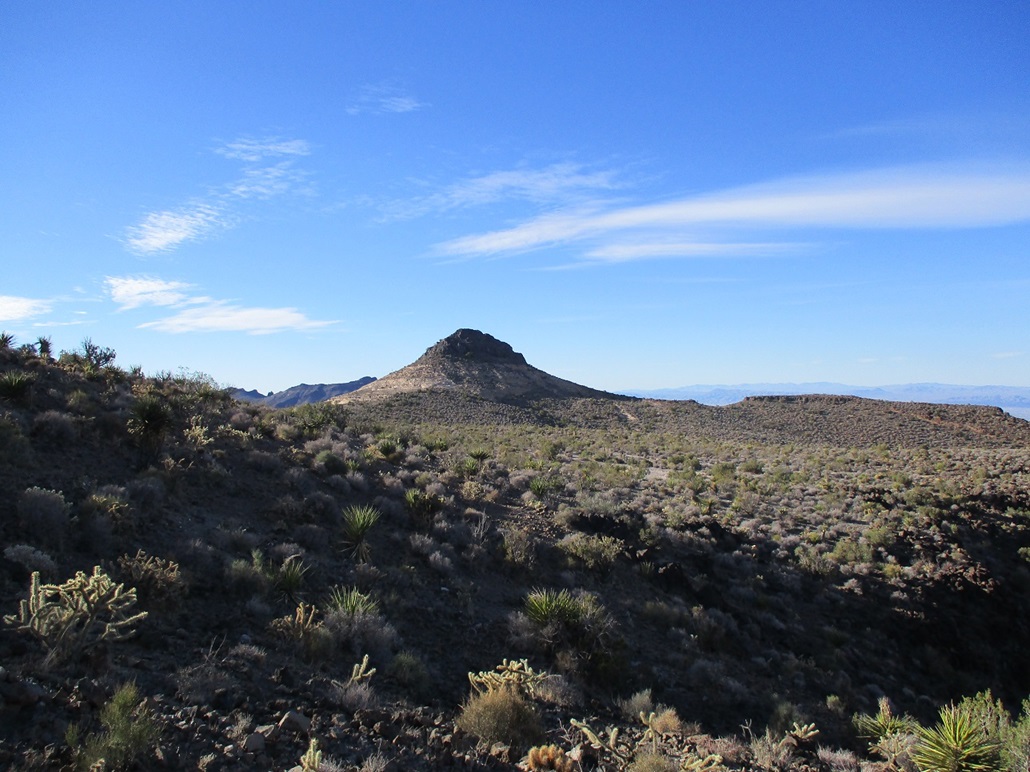
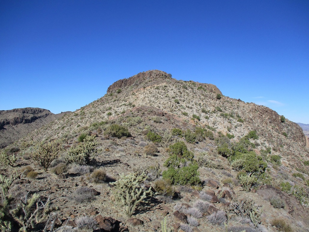
The route breaks into two segments: a 3.5-mile mostly trail hike that heads north-northeast, skirting two formations on their left (west), A rounded hill with a rock plug for a summit, Hill 4350, and behind it, cliff-laden Peak 4975. The second segment is a 1-mile haul up Nutt Benchmark's southeast slope to the top. Adding in a few extra tenths of a mile each way for the wiggles I'd have to follow and the few times I got off-trail, I was looking at almost ten miles round trip.
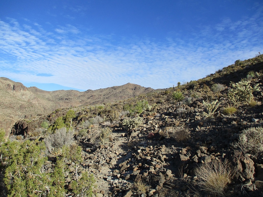
Still early, the sun was low in the east and the shadows gave the distant peaks and cliffs much distinction, while the colors were trending red and orange at this early hour. The trail was good, but weak and often branching in and out with other trails. Wild burros roam the mountains as do bighorn sheep. The burros have knocked in numerous burro paths, which are usually very good trails and easy to start following one inadvertantly.
Anyway, I made good time on this portion of the hike. The route stays on a high ridge, up and down a few intermediate bumps. Large cairns every few dozen feet also helped keep me on the right track. All was well until I got to the slopes below Hill 4350. I lost the path. But the way was obvious. Up ahead was a notch in the ridge above me. I hiked through the rocks and moderate brush to this notch, and sure enough, found the trail and cairns again.
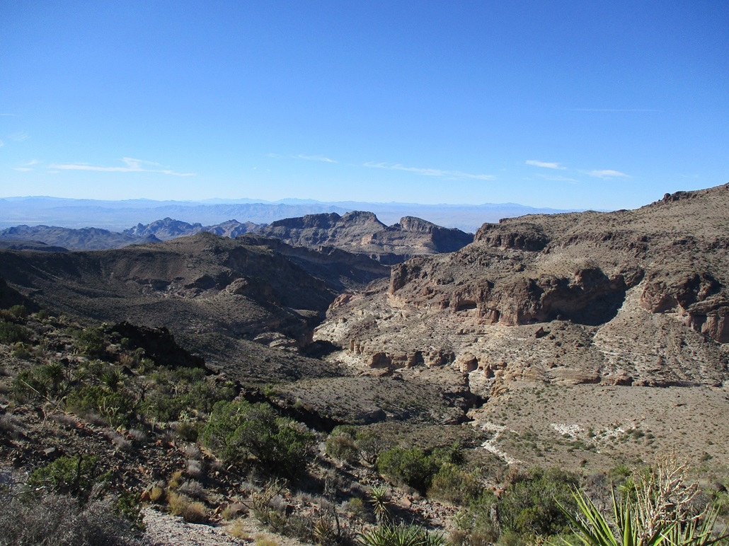
The trail swings a little right and traverses north below Hill 4350, then loses distinction in the volcanic boulders here. Once again, I just hiked where I logically thought the trail would lead and I found it again. I was now gaining on Peak 4975. I would be hiking below it to the west. Here, the cliffs are much more pronounced and the slopes below them steep and loose, typical "aprons" below cliffs of this type.
The trail in this passage is distinct ... except when it's not. More than once I came to a split and guessed, sometimes I was on the wrong path, other times I had guessed correctly. The trail is forced to curve into and out of the many folds and ridges of this terrain, too many to count. At times, it was very narrow with steep slopes below where a slip could be bad news. Other times, it was bomber. This eventually came to an end. I followed whatever was left of the trail until it ended as well. The saddle below the summit was close by. I hiked to it, and took a rest on a good sitting rock. I'd been hiking for over two hours. The sun was higher and the temperatures now in the comfortable range, in the 50s.
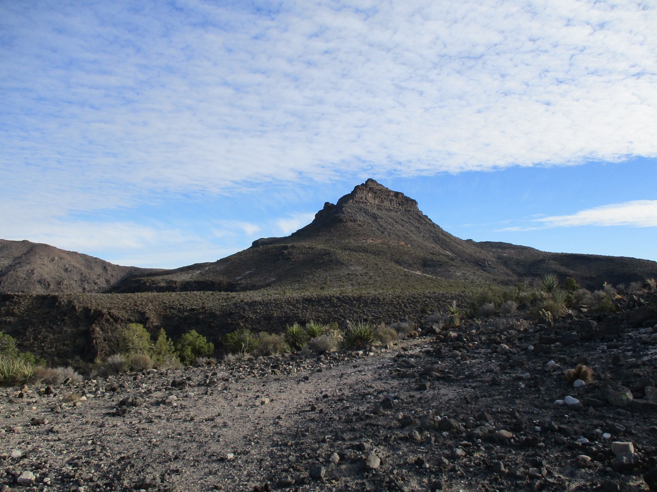
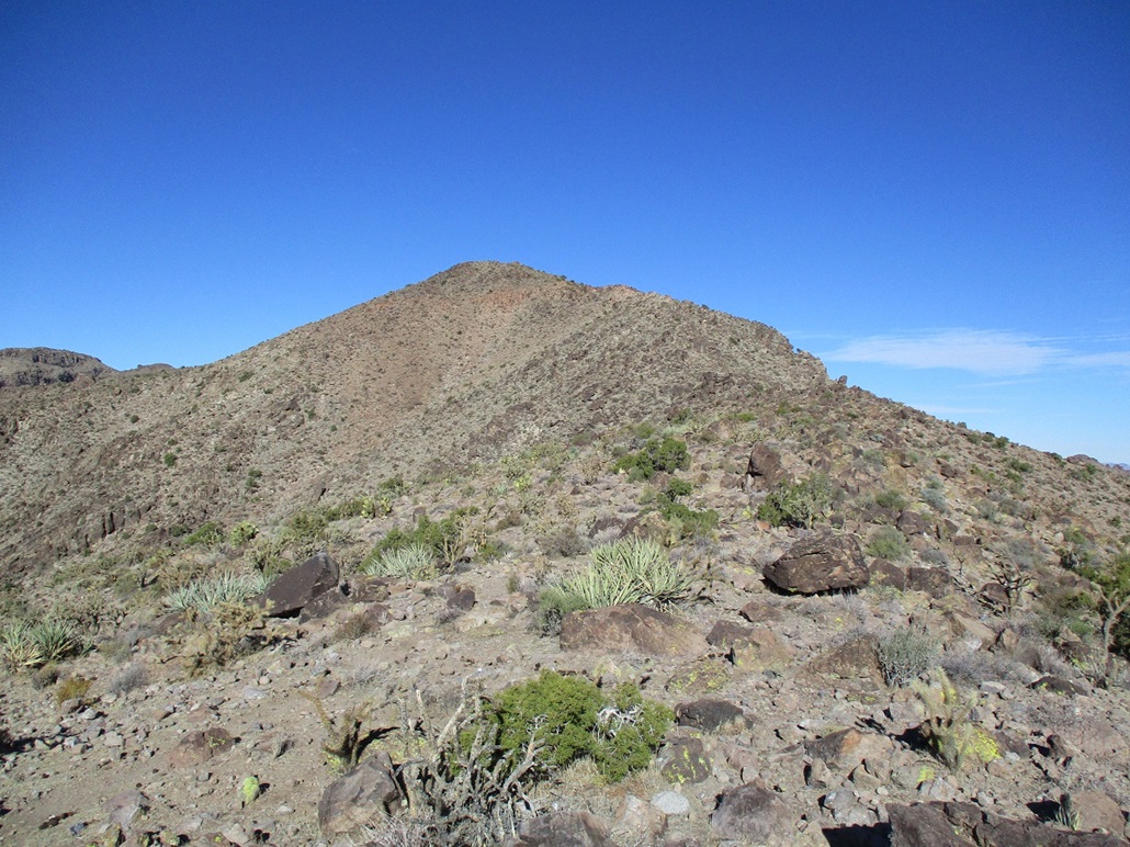
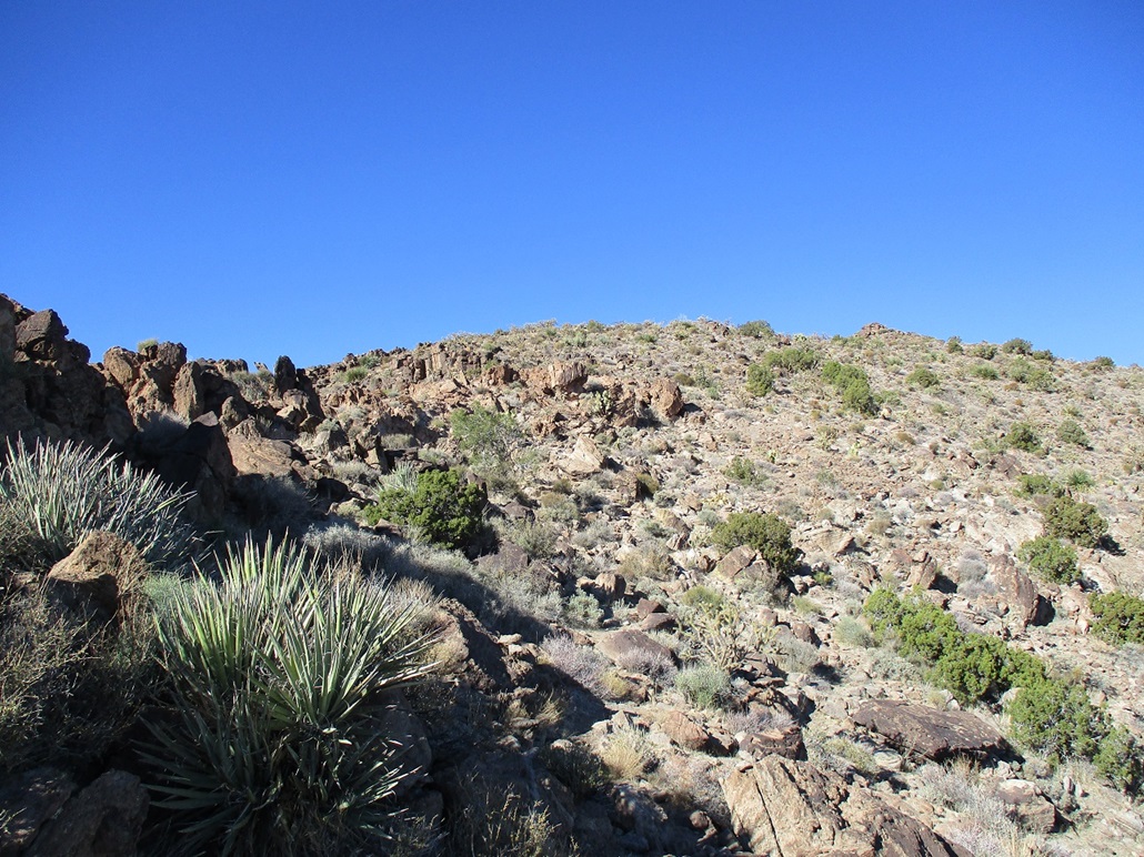
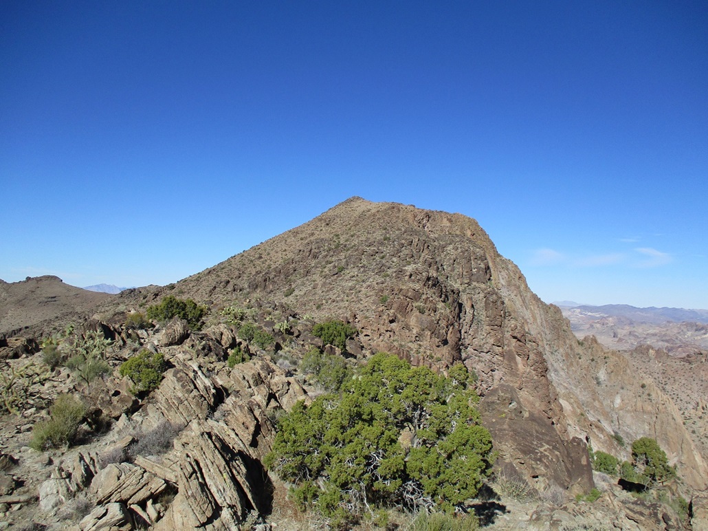
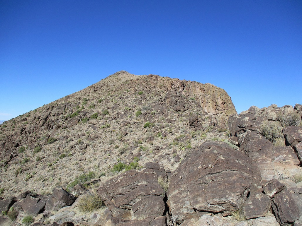
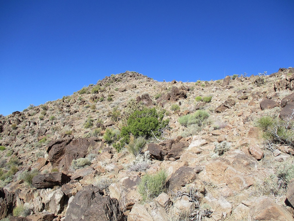
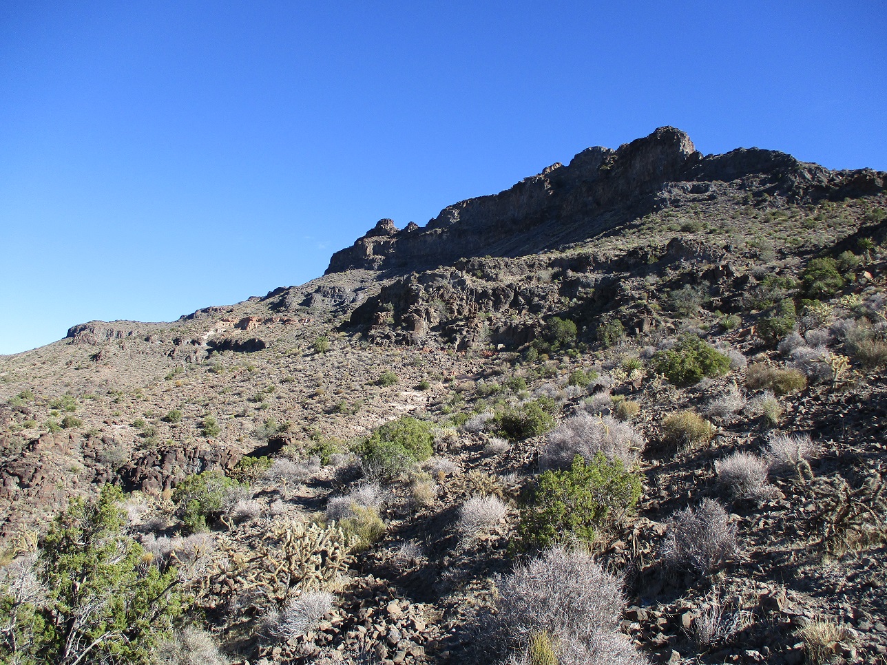
Between me and the summit was about 700 vertical feet of rock outcrops, broken cliffs and brushy slopes. Up close, I could see ways up through this terrain. At first, I even followed a path, augmented by small cairns. I generally kept to the right (east) of the rocks, hiking up through brushy slopes. The cairns gave out about two hundred feet up.
I still stayed right of the ridge, but angled slowly such that I was on the ridge itself after a time. I would get onto some ridge bump and assess what to do next. The summit was sometimes visible, its rounded hump still high up. Other times, a lower cliff band blocked its view.
By now, it made more sense to stay on the ridge itself, or drop to the left if needing to bypass a rock outcrop. Another couple hundred feet higher, I came upon a jumbled cliff of rocks where a bypass was not evident. I got close to these rocks and looked for a way up. I found a 5-foot rock to hoist up, then a tiny ledge with a big prickly-pear on it, then up another few feet of rock to gain its high ground. This little segment was low-level scrambling, and I would rate it Class-2+.
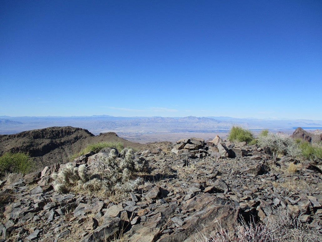
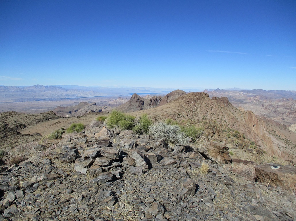
I was now close to the summit. There was one more rock barrier, but I could bypass it to its left. Above that, it was just a rubbly slope to the summit, which is a small rocky dome about 20 feet in diameter. Success! It had taken me almost 4 hours, counting breaks, to get here. The day was so nice, I took time to stop and enjoy this perch. I signed into the register, the first in about a month, but going by the register, just a few people a year come here.
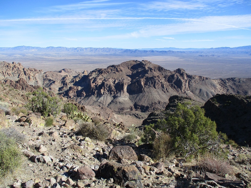
In these clear conditions, I could see peaks far away, into Nevada and California. The Hualapais to the east had a dusting of snow on it. I could see Spirit Mountain in Nevada, and behind it, barely visible, the giant hulk of snow-bound Mount Charleston. Below me were cliffs and canyons, both east and west of me. Mount Nutt was across the way, connected to my position by a horseshoe-shaped ridge. I had no interest to go there. I got what I came for. After about 15 minutes, I started down.
I generally repeated my ascent route down to the saddle, taking advantage of being able to spy routes below me from elevated perches. I was back to the saddle quickly, then up a few dozen feet and back to the trail. Then, the portion below Peak 4975. This went well but was tedious, all the wiggling into and out of the drainages growing wearisome.
Once past that, it was just a matter of putting one foot in front of the other until I was back to my car. I lost the trail a few times, re-found it each time, and at one point, followed an excellent trail about a quarter-mile until I realized I was on a different ridge and was just following a very good burro trail. This was my only significant off-route segment for the day. Still closer to finish line, I descended one little hill and heard braying. There were two burros in the saddle, aware of my presence. They moved aside but not before telling me all about it. Hey, at least I got to see burros.
Finally, I was back to the lip of the cliff band from this morning. Going down it sucked. It is completely loose and haggard, and ironically, the crux of the whole hike. The hike had taken me 6 hours, and had been a great journey. I was pleased to be successful and enjoyed this hike very much.
I drove into Oatman, just to drive through mainly because I had to, but also to look at the little town again, all the cars, motorcyclists and burros (and poop). That didn't take long. I drove into Bullhead City and got some groceries, then into Nevada at the Avi Casino bridge and the little connector road where we almost were killed in 2018, to Needles Highway. I took local roads through Laughlin then highways to my dad's place in Henderson, arriving at dusk, which comes early this time of year.
I spent the next few days in and around Henderson. The next day, I hiked a simple hill, Lone Mountain, plus doing other important family-related things. It was good to see my father. Lots of things have changed in the past year so these visits mean a lot to me, and to my father too.
|


|