
The Mountains of Arizona
• www.surgent.net
|
|
North Mountain and Lookout Mountain are two nearby summits in the Phoenix Mountains located roughly in the 7th-16th Street and Peoria-Greenway Boulevard corridors. There are other summits in the region, but I chose these two figuring together I would get a good workout and hopefully be done within a couple hours before the weather got too uncomfortable.
Mainly, I was itching for any sort of hiking at all. The weather is so consistently hot that I lay low most of the summer, but after a couple weeks of inactivity, I want to get back in the hills as soon as I can, and I am not terribly picky under these circumstances. Both of these peaks are part of the Phoenix Mountains Preserve with ample parking and well-maintained trails. This would be my first time on either peak, believe it or not.
North Mountain is immediately west of the Pointe Hilton at Tapatio Cliffs. I remember playing a "gig" there back in 1996. We knew the drummer of a band playing there and he let me and a friend jump on (I was on bass guitar) for a couple songs. The thing was, I had no memory of where that actually was, until today when I drove by it.
Date: September 7, 2014 • Elevation: 2,104 feet • Prominence: 674 feet • Distance: 1 mile • Time: 30 minutes • Gain: 650 feet • Conditions: Humidity up the ying-yang
Arizona
•
Main
•
PB (North)
•
PB (Lookout)
I left our home at 5:30 a.m., the weather relatively cool (about 80 degrees) but very humid. We were in the middle of a few days of rain due to a decaying hurricane in the Gulf of Baja California kicking up rain bands our way. The day was cloudy and sticky, but this was better than blazing hot sun at mid-day. I arrived at the parking lot on 7th Street and the Peoria Boulevard alignment a little before 6 a.m. Being my first time here, I drove around the loop to find an ideal place to park. I was ready in moments, going light with drinks, my camera and my staff.
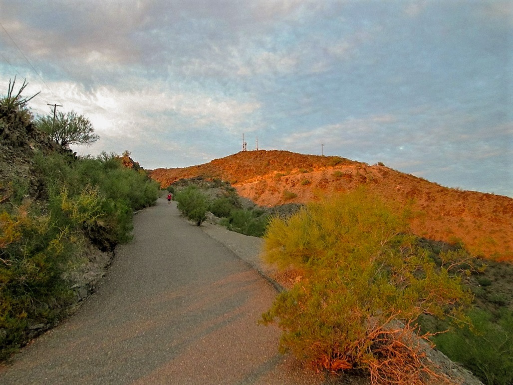
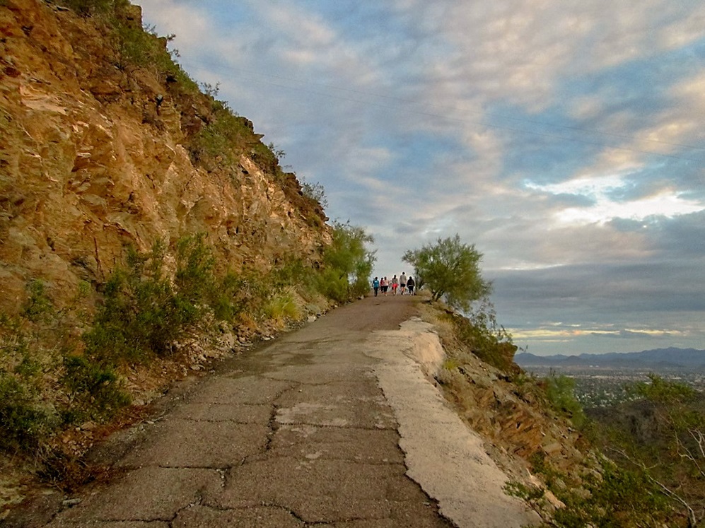
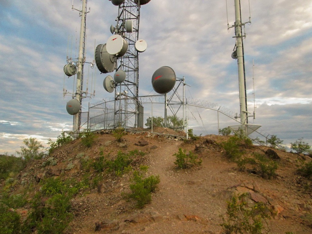
I found Trail 44 near the "Maricopa" parking lot, following the people already here. The trail is cut into the rock and gains steeply, but very soon, meets with a paved road that comes up from a different starting point. This road goes to the top to service the towers, so it would be the trail the rest of the way.
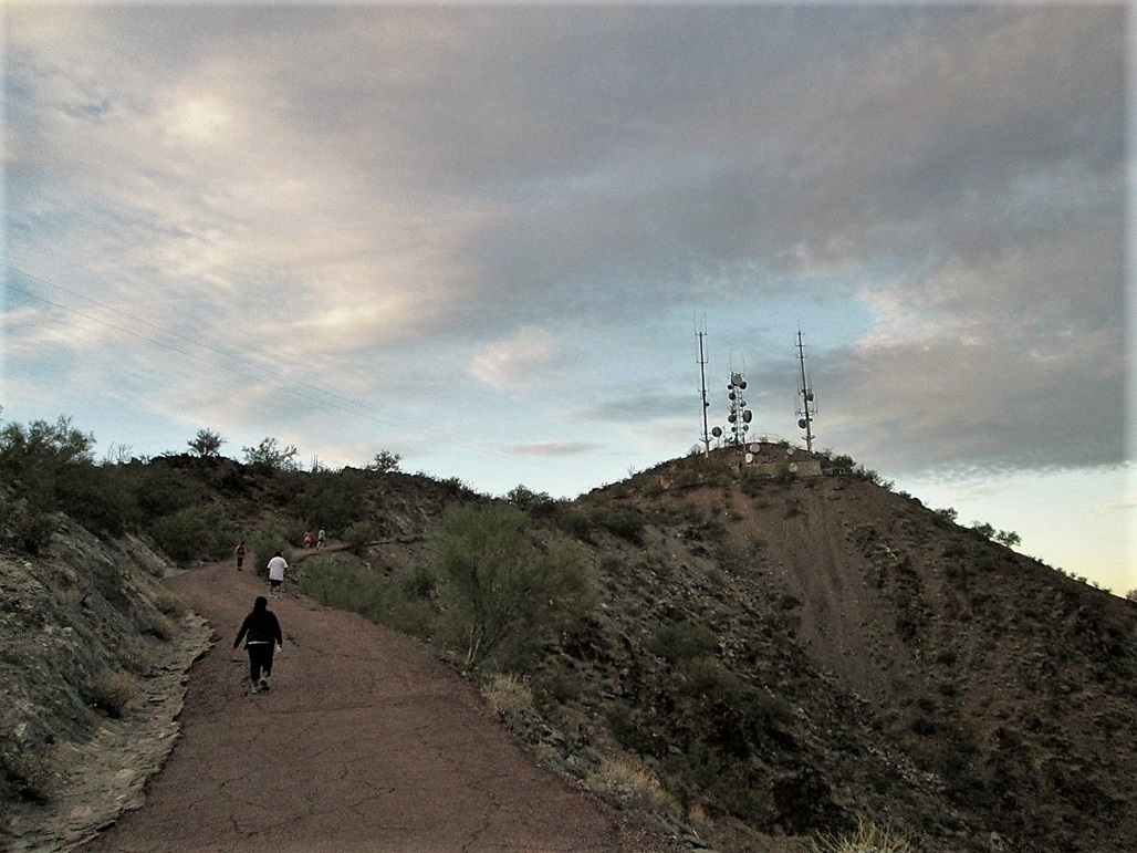
There was a steady stream of hikers, many with dogs, but it wasn't too crowded. The road was easy to walk and I was at the last bend fairly soon. Here, I left the road and walked up a trail (the continuation of #44, which is a loop) to top out nearby the fence surrounding the top.
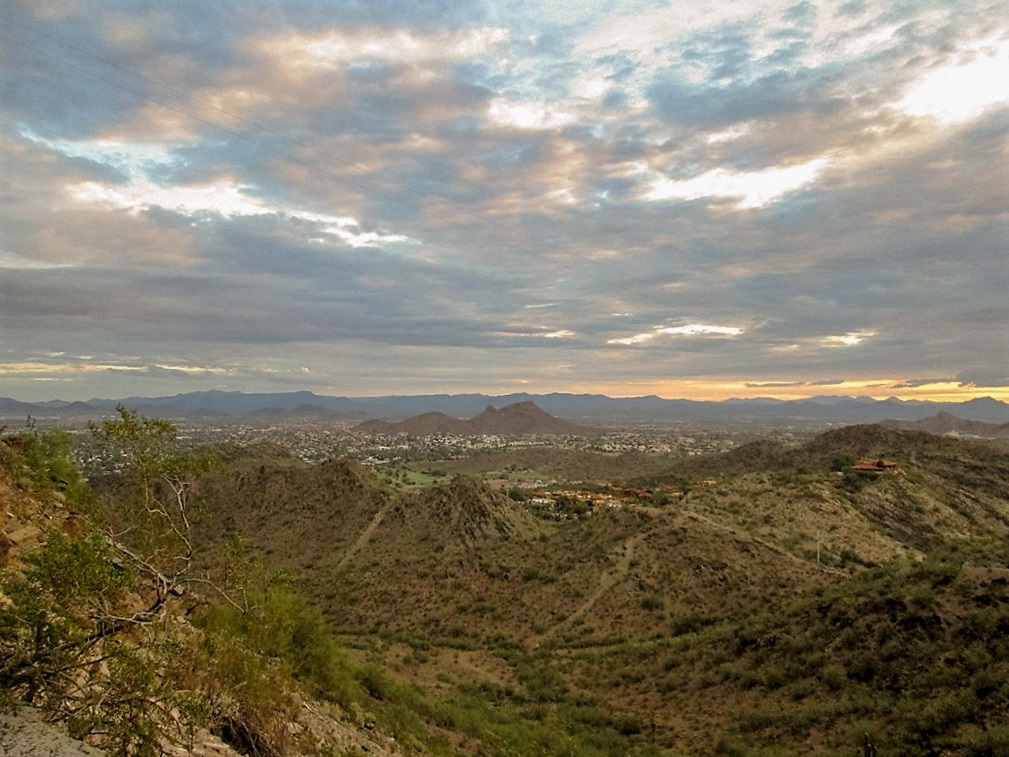
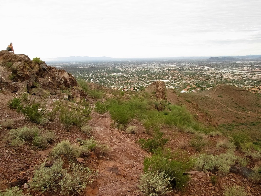
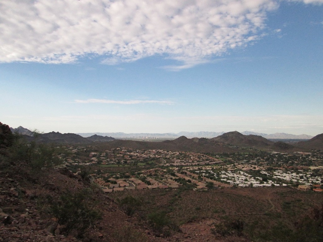
The views were nice. Downtown Phoenix was to the south and the main peaks of the Phoenix Mountains nearby, such as Piestewa Peak and Shaw Butte, which is now on my "next time" list. Looking north, I could see my next objective, Lookout Mountain. Despite the clouds, the visibility was generally good, and I could see as far north as the Bradshaws, Skull Mesa and the New River Mountains, and as far east as the McDowells and the Four Peaks.
I was concerned the actual top was inside the fence, but actually, the fence runs along the highest "natural" ground toward the west edge of the complex. I walked to it, stepped on what I could, and returned back to the road. From here, I walked briskly back to my truck, a round trip of about 40 minutes. The sun was up but obscured by the clouds. I was soaked with sweat, but felt that conditions were good enough to drive to Lookout Mountain and visit that peak.
Elevation: 2,054 feet • Prominence: 594 feet • Distance: 1 mile • Time: 30 minutes • Gain: 510 feet • Conditions: Humidity out the wazoo
I was able to find the trailhead after some dead ends. I knew to follow Greenway to 16th Street, but on my first try, I followed a lesser version of Greenway Boulevard into some homes and dead-end signs. I then backtracked and found Greenway Parkway, which led to 16th Street and south to the small trailhead. Having two Greenways was confusing. In any case, I scored a spot in the small lot, arriving just as someone was leaving. The lot holds about 15 vehicles. The rest must park along 16th Street.
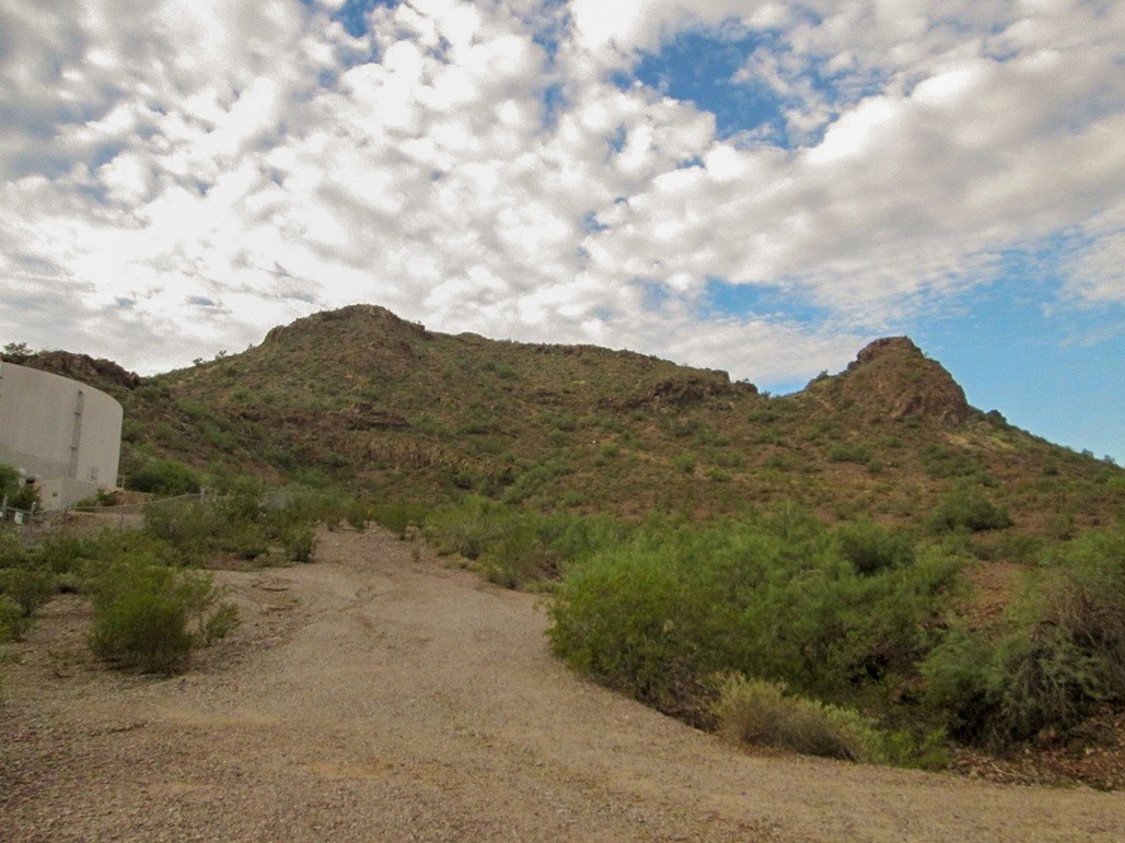
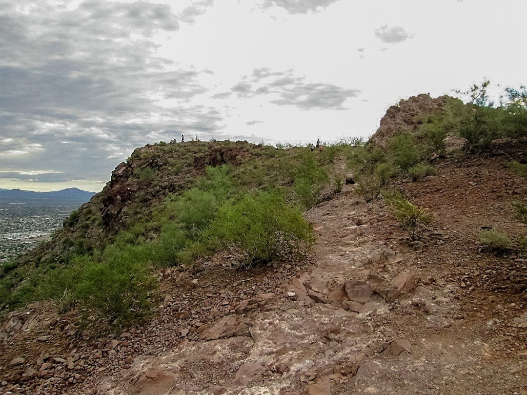
Lookout Mountain rises immediately to the south. The peak has two summits, a rocky western peak, and the higher, elongated eastern peak. I followed a good path up toward the pass between the two peaks. Other trails branch off along the way, forming circumference path and spurs to other let-in points.
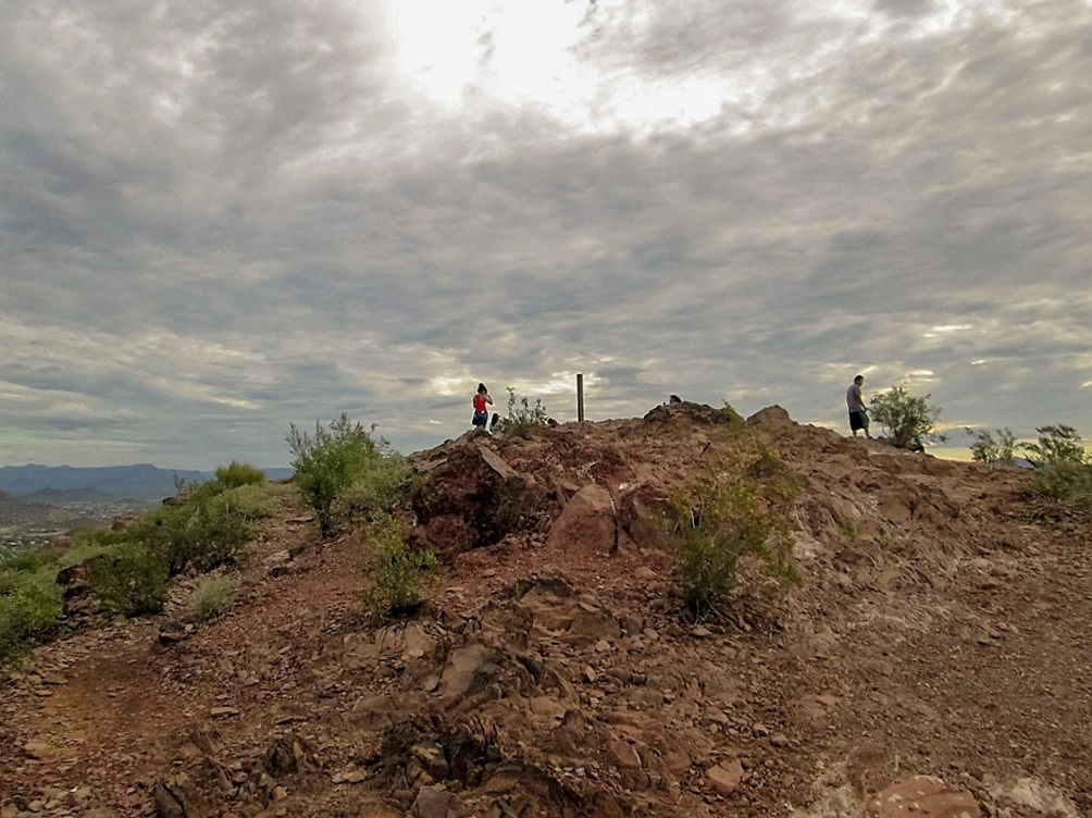
After about 15 minutes I was at the saddle. I angled left and walked up some rocky sections marked with white painted dots and very soon thereafter, arrived on top. There were a bunch of young teenage girls all dressed the same, evidently part of some club. They had taken up all the "nice" sitting rocks. I tagged the top and looked around, but didn't stay long. Yesterday's rains had left small puddles that begat mosquitoes. They must have all hatched within the last 12 hours, now out trying to drink blood and mate to repeat the cycle of their pointless little lives.
The hike down went quickly. I was back after about 30 minutes, then took some time to somehow dry off back at the truck. The two hikes together had covered about two miles and a cumulative 1,160 feet of gain, so yes, I got what I wanted: two easy peaks, and a good workout. It was now 7:30 a.m., so I drove back home, showered and rested.
The rest of the day was sunny and humid, but very little storminess. In fact, the clouds cleared out and the day was hotter than expected, rising to about 102 degrees. However, the moist airmass was still everywhere, and the day's heating had actually created near-perfect conditions for storms later that night.
The storms started up near midnight and for the next 12 hours, drilled all of the Phoenix metro area. Monday, September 8th, was the all-time single wettest calendar day in terms of rainfall. Sky Harbor Airport, where the Phoenix statistics are tabulated, had nearly 3.3 inches of rain. Keep in mind we often go the whole year with less rain than that. Our terrain and soil is not equipped to handle that kind of rain, so we had flooding and damage everywhere. Some other parts of the metro area had nearly 6 inches of rainfall.
|


|