
The Mountains of Arizona
• www.surgent.net
|
|
Peak 4883 South • Needle Mountain • Peak 4883 North Pinto Valley Road is about ten miles west of Miami along US-60. It is the access road to one of the big open-pit mines, the Pinto Valley Open Pit Mine. A ridge of hills paralleling the road to the east contain three ranked peaks: Needle Mountain, and two unnamed summits that have identical elevations, 4,883 feet, so says Lidar. I have been here on two occasions, the first time in 2021 to visit two of the peaks, and again almost 5 years later when it was discovered a third peak barely met the 300-foot prominence threshold, this being the northern of the two Peaks 4883. On my 2021 visit, I started with a hike of Blackjack Mountain. I had one other main item on the agenda, which was to explore a possible southern approach to Webster Mountain, the biggest peak in the area but surrounded by the massive open-pit mining operations of the Globe-Miami region. My interest is to climb Webster, hopefully soon, and had heard of this southern approach, so I wanted to check it out. Done with my earlier hike, I passed through Globe, then Miami, then westbound on US-60 to the Pinto Valley Road junction. I went north on this road, then an immediate right onto Tonto Forest Road 287B, which is paved but not maintained, and gains steeply uphill. My exploratory mission was a success, I was able to drive where I hoped to, and now know I have a viable way to climb Webster Mountain. I climbed Peak 4883 South and Needle Mountain on my way out, then returned in 2026 to tag Peak 4883 North.
Date: November 30, 2021
• Elevation: 4,883 feet
• Prominence: 312 feet
• Distance: 1.2 miles
• Time: 40 minutes
• Gain: 270 feet
• Conditions: Blue skies, clear, pleasantly warm
Arizona
•
Main
•
PB
•
LoJ
This peak goes by a few different names, Peak 4887 at Lists of John, and Peak 4895 at the ArcGIS database. The topographic maps just show a 4,860-foot contour (20-foot intervals). Lidar says 4,883 feet.
It is not an interesting peak and the only reason I climbed it was because it is ranked, and it had a track most of the way to its top. This was a purely opportunistic peak, one to pad my totals.
There is a clearing on the other side of the road opposite the peak. I pulled in and parked. There were six vehicles, big trucks pulling toy haulers, and a couple sedans. No one was around. And every one had Minnesota plates. One truck had an insignia for a construction firm from Minnesota, so I surmised they all must be part of this company and working on some construction thing here at the mines that only a firm from Minnesota knows what to do. Otherwise, the odds of this happening on its own would be slim to none.
The road I wanted was across from the parking area. It is a measly track, heavily eroded and in poor shape. I walked it uphill and in 15 minutes, had covered the half-mile to its end, on a ridge north of the highpoint. The remaining 0.1 mile was a stroll south through moderate brush to the top, a fifty-foot gain, and an overall 270-foot gain.
Along the way, I heard some rustling and the sounds of a big beast getting up and moving. I banged my poles together and I heard it move again. I assume a cow. There was cow poo in places. But I never saw it and wondered where it ran off to.
The summit wasn't anything special. I snapped a couple images, kicked the cairn, and walked back to my car. The round trip took 30 minutes. Back to my car, the Minnesotans were still nowhere to be seen.
Elevation: 5,058 feet
• Prominence: 545 feet
• Distance: 2 miles
• Gain: 410 feet
• Time: 90 minutes
PB
•
LoJ
•
USGS BM Datasheet
I drove just a mile south, now abeam of Needle Mountain, which is much larger and potentially more interesting than what I had just climbed. I parked at the entrance of the track that leads in toward the mountain. There is room to park and not block the entrance, and I honestly did not expect to see anyone today.
I killed the engine, put up the sunshade, and ten seconds later a ranch truck pulls up pulling a cattle-hauler. The guy got out and asked me if I could move as he needed to park here as he was going in to locate a bull and to bring it back out. He was cool and clearly had business to attend to, so I agreed to move, parking in another pullout about 300 feet north of this spot.
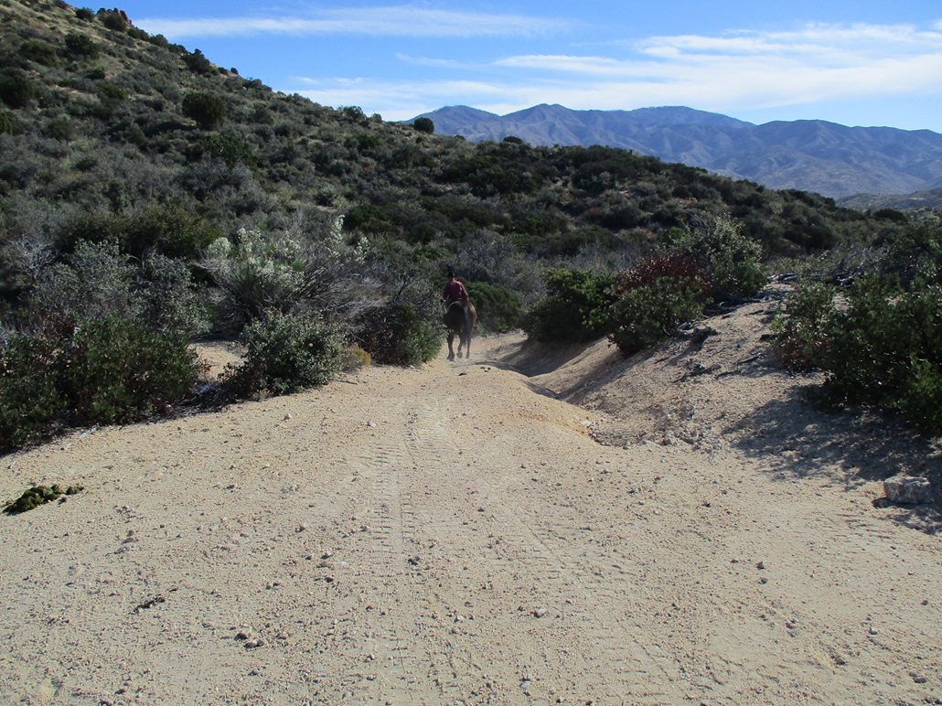
Since I was already dressed from my last hike, it did not take long to be moving. I walked up the paved road to the track entrance, then followed it in toward the peak. Up ahead was the guy, now on horseback. I slowed my walk because I did not want to spook the horse. Rounding a bend, a friendly dog came running up to me, then the guy and his horse. I pet the dog, and the guy asked me which way I was heading. There is a Y-split here. I was going this-a-way and he was going that-a-way, which worked out well for both of us. The dog was his, of course.
I again stood back and waited until he was gone. They went downhill and he did a fine job of managing the horse down that hill, not that I know anything about horses. The road was rough looking and definitely required 4-heel drive. Thank you, thank you, I'll be here all week.
I went left, uphill, past two gates, one an open wire-stick thing, and the next one a heavy metallic gate closed and locked, but easily passed around it. I marched uphill, gaining about 300 feet, placing me on a saddle north of the highpoint, about a hundred feet below.
The road ends here, but I found a path that led uphill, and this path went uphill for about a hundred feet before petering out in the brush and slopes. The tread was loose, rocks rolling and sliding, but soon, I was approaching larger embedded rocks. I was quickly on top, at the northern tip of the summit ridge.
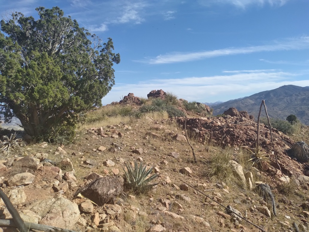
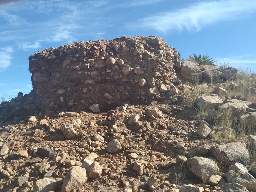
The summit features a couple of rock outcrops, similar in composition as the ones I had just encountered on the hike up. These rocks appeared to be breccia, which is little rocks "welded" together into a singular rocky mass, like how a Christmas fruitcake looks, where its constituent fruits meld into a quasi-homogenous mass. Same thing here, just rockier and about equal in taste. What was interesting was how big the rocks were, big boulders instead of little stones. See my photo at left. (My Canon camera's battery died on me, so the last few images were taken with my cell phone, so you may notice a difference in color tone.)
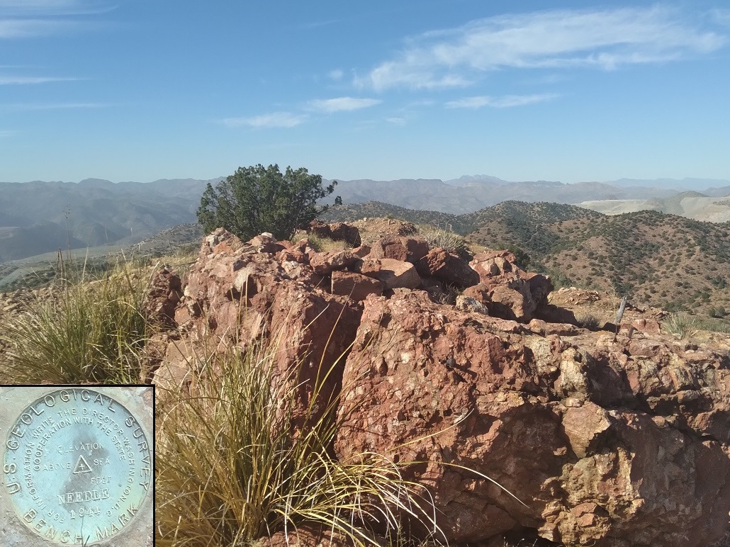
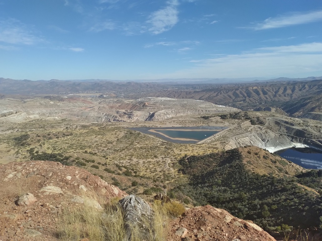
The highest rock was up ahead, and on it was the benchmark. These rocks lie right on the edge above a big cliff, and looking south, I saw more rock outcrops and cliffs. The views east were onto the tailing ponds and pits of the mines. Looking west, there were similar views. It's a huge operation here.
I spent about ten minutes up top, looking around and drinking some water. Going down, I carefully scooted down the rocky slope back to the road, and followed that out to my car. The cowboy's truck and hauler was still there.
I took a closer look at the hauler. I assume he brought his horse in it, and I also assume he was going to haul the bull back in it, as well as the horse. But I did not see any separations. Now, I don't know anything about hauling large animals, but I have always assumed you don't haul them together. What if they fight? Maybe he would warn them first not to fight, and maybe he already knows his horse and bull are like totally mellow to begin with.
It was about 2:30 when I was back to my car. I changed into more comfortable clothes and started the drive back toward Phoenix. Traffic wasn't bad, and I was back in town around 4 p.m.. I stopped for a Subway sandwich and was home not long thereafter.
Technically, the summit of Needle Mountain is outside the forest boundary. It presumably sits on land owned by the mining companies. But that was only for the last tiny bit, and I don't expect they care that much. My impression is this peak gets climbed rarely, so it's not an issue.
Date: March 25, 2026
• Elevation: 4,883 feet
• Prominence: 300 feet
• Distance: 1.2 miles
• Time: 45 minutes
• Gain: 430 feet
• Conditions: Sunny and very warm
PB
•
LoJ
I had hiked Peak 6524 earlier this morning, and was back in Globe about 10 a.m., already warming into the mid 80s. I had a map of this peak as a second peak for the day before heading back toward Phoenix.
For the past two years, the state has been closing US-60 between Globe and Superior on Tuesdays, Wednesdays and Thursdays between 9 a.m. and 2 p.m. due to the construction of the new bridge over Queen Creek. Today being Wednesday, I assumed I would have to bide my time before heading west out of the city to take a look at this peak.
I got online and saw that the road seemed to be open today, that the only closure was for Tuesday. So I headed westbound on US-60 and had no trouble getting as far as Pinto Valley Road. In the past, the highway has been shut just outside of Miami.
I got onto the secondary road, FR-287B. It was just as steep and barely-maintained as I remembered it from 2021. The mines still use it for access into their workings, and there appear to be a couple residences and tiny ranchettes back in here too.
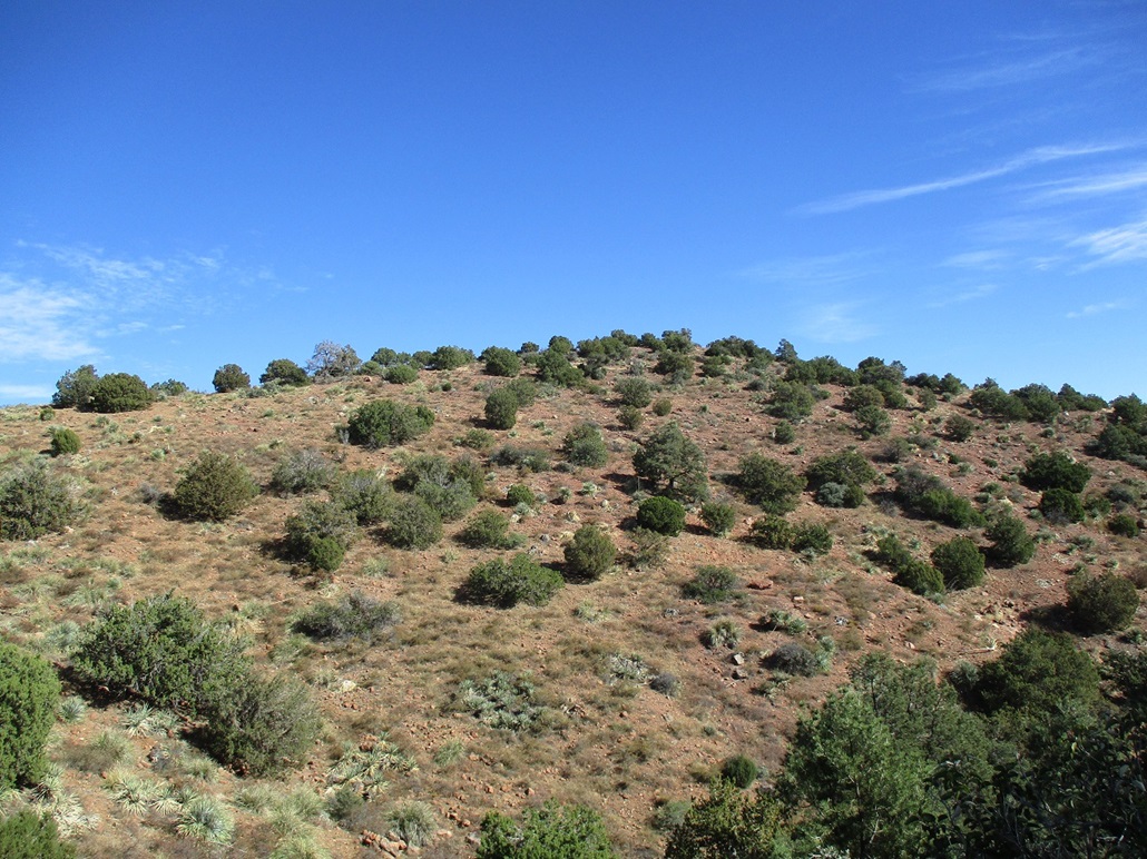
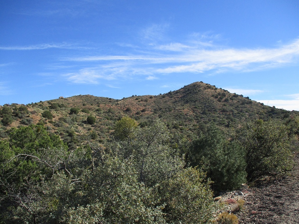
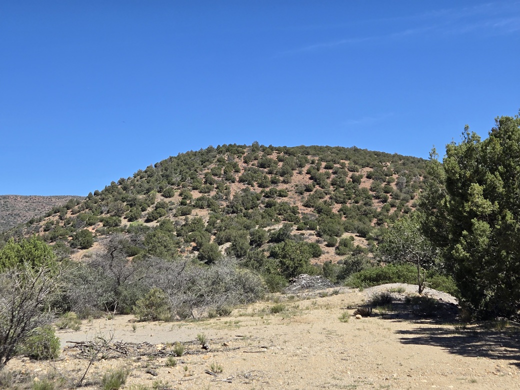
Peak 4883 North rises north of Peak 4883 South. It is a big mound of piñon and juniper. I could see it after cresting a rise in the road. I followed the road as far in as possible, making a sharp bend to the southeast and dropping some elevation. By now, it was dirt, but smooth and maintained.
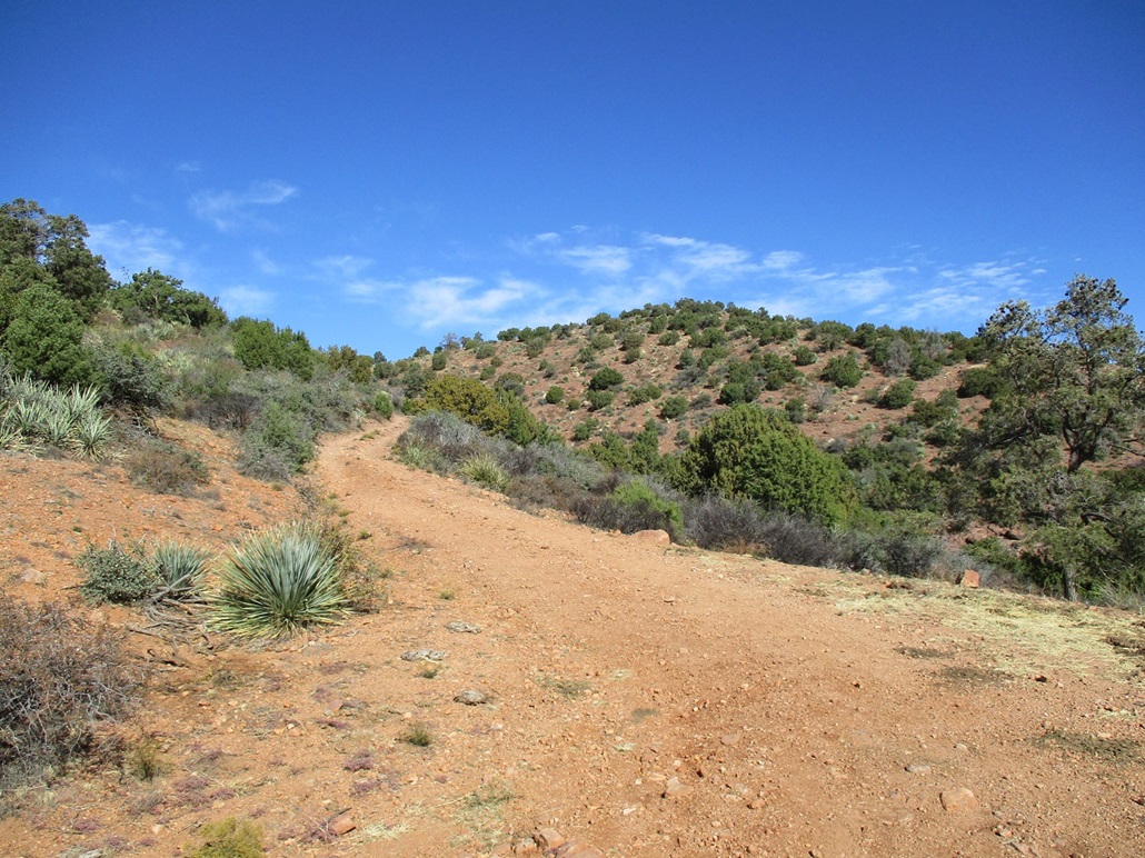
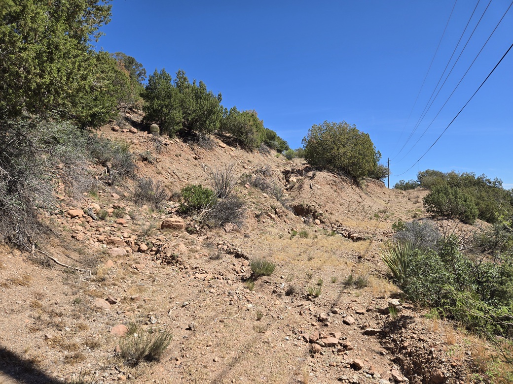
The satellite images show a track that goes to the top. This would be good because it was very warm now, about 85° and I did not want to be busting up steep branchy and rocky slopes the whole way. I parked where a track branches left from the main road, this being a power-line access track. A two-foot deep ditch blocks any vehicular access onto this track. I stuffed the car off the main road onto a sloping patch of open ground.
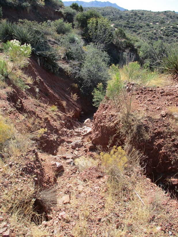
I went light, and started walking immediately, the time about 11 a.m.. I walked up this track to where another track branches left again. This track has an erosion divot about 5 feet deep, pretty much eating up the entire track by this point. I had to ease up onto this track from within the divot itself. Walking alongside it was not possible due to gravel and the possibility of falling in. Even a three-foot fall could be trouble. I'll be damned if I bust an ankle on a lame peak like this.
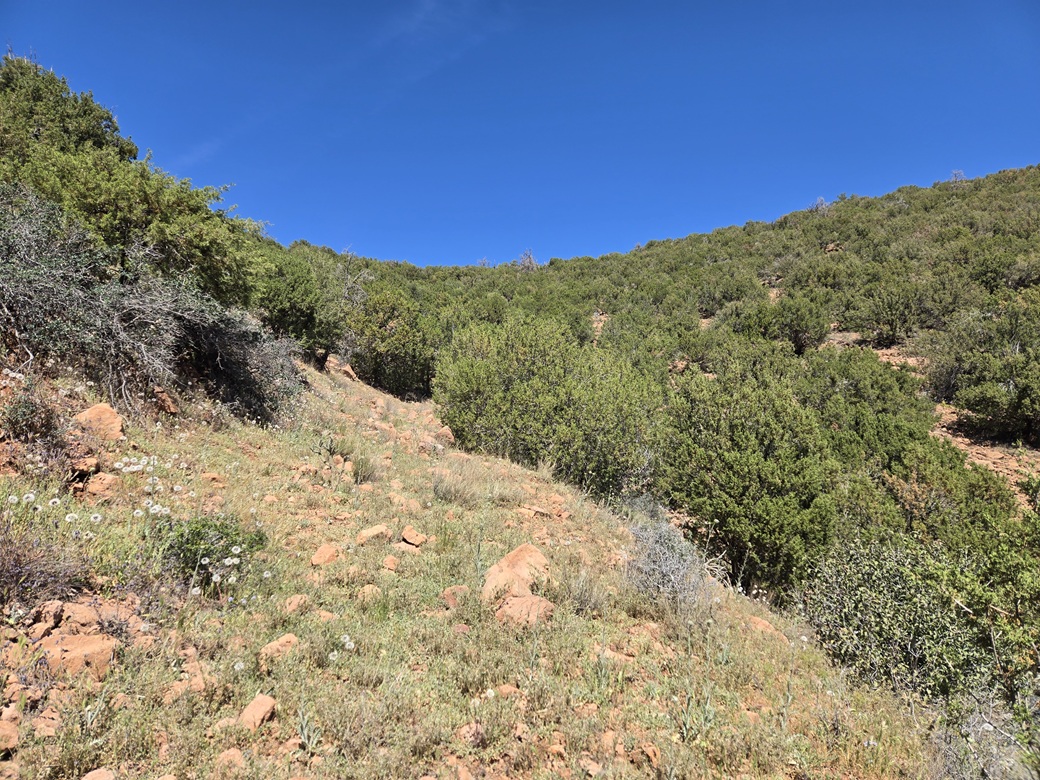
Once above the divot, the road became more road-like, but rocky and covered in low grass and scrub. It obviously has not been driven on in decades. Large bushes and small trees grew in its tread. Some areas were grassy enough to hide a snake. I moved slowly and steadily.
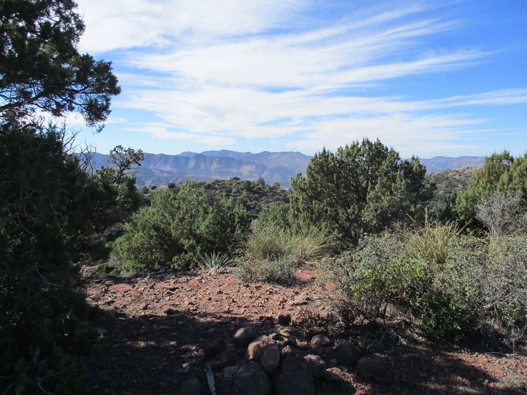
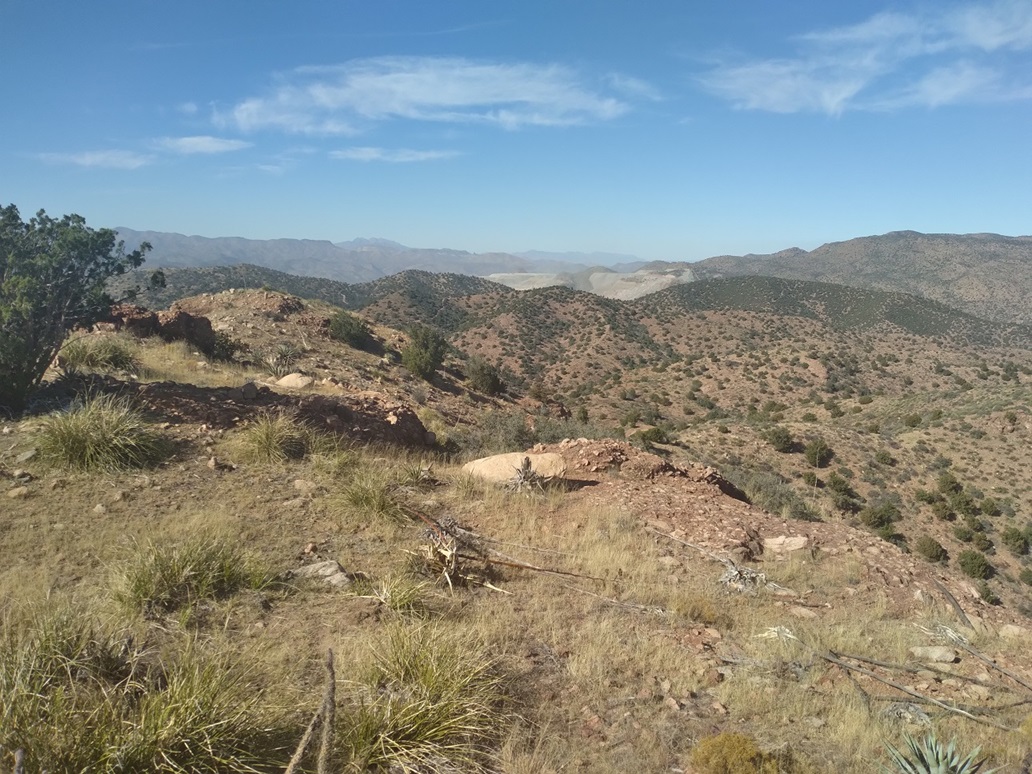
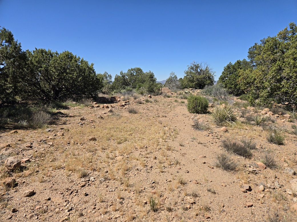
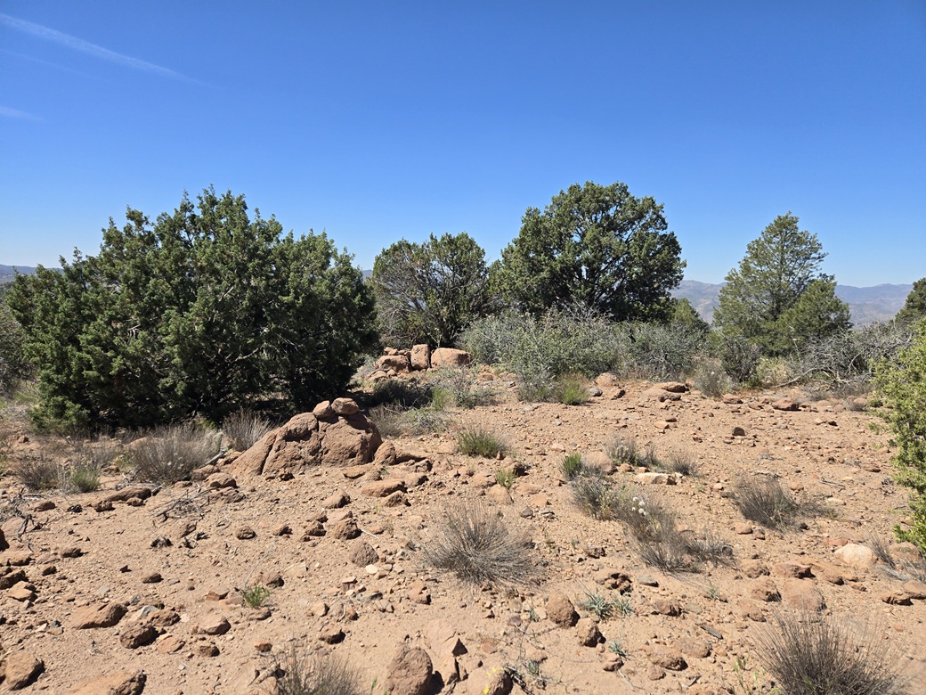
The track makes a couple bends and achieves the higher ridge. I made a hard left and walked up to the top, which was flat and bouldery, lined with low trees. One large boulder seemed to be the highpoint.
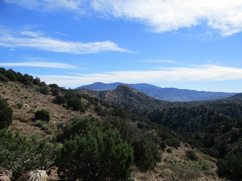
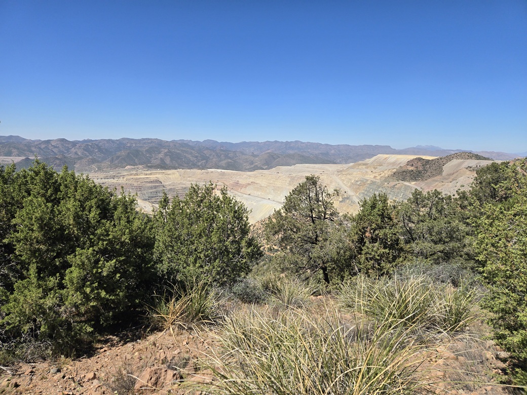
The one upside of climbing this peak was that I got a fine view into the large Pinto Valley Open Pit Mine, one of the two main open pits of the Globe-Miami mineworks. It was hot, but dry and calm, and not too bad otherwise. I walked down slope slightly for a more open view of the mine pit.
This peak was only recently discovered to be a ranked peak (via Lidar). No one else has logged an ascent and I can't say I blame them. I get a "first ascent". Obviously, some guys in bulldozers were up here ages ago to carve in the road, but they forgot to sign in at Lists of John and Peakbagger. I wondered why they put in a road here anyway. It is possible there were plans to mine this mountain down, as they have done with other former peaks, that now have disappeared due to being mined away.
The one-way hike had not taken long, about twenty minutes. I never stopped, but I wandered the top area for about five minutes. I then walked down the same way, trying not to roll with the rocks and keeping an eye open for snakes.
I was back to my car before noon. I was done hiking for the day. I changed into less gross clothing and started the drive back to US-60, then into Superior and eventually to my hotel in Mesa. It was interesting to see the state of the new Queen Creek Bridge. They've got the stanchions built. Now they just need to put in the actual bridge. One crane deep in the canyon had a boom about three hundred feet tall. How they got that down there and built is itself a remarkable feat.
The rest of the drive went well. It was hot, into the high 90s. Mind you, it's still only March, but this heatwave has been lingering now for a couple weeks. I have a sense it's going to linger into November.
|



|