|
|
|
Date: March 10, 2018
• Elevation: 6,502 feet
• Prominence: 582 feet
• Distance: 8 miles
• Time: 4 hours
• Gain: 2,042 feet
• Conditions: Cloudy, then sunny and warm
Arizona
•
Main
•
PB
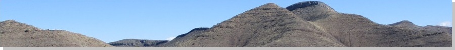
Mural Hill is about two miles northeast of Old Bisbee. From Old Bisbee, it is not visible, but from the Lowell "sector" of Bisbee, where state route AZ-92 merges into AZ-80 at a traffic circle, the mountain is plainly obvious, a cliff band nearly encircling the peak.
We came here on last-minute plans, intending to go elsewhere this weekend, but all the hotels in our usual favorite cities were sold out, and it was too hot to camp in the deserts. We looked at Bisbee, and found some cabins for rent in the high desert on the south slopes of the Mule Mountains, about a dozen miles from the main part of Bisbee. We booked one of the cabins for two nights.
We had no trouble with the drive, arriving into the general area as the sun was setting. We followed AZ-92 out of Sierra Vista. This segment runs parallel to the Mexican border for about 20 miles, connecting to Bisbee near the turn-off to the town of Naco. Our cabin was north about four miles, along rough but reasonably well-tended dirt roads. We arrived in the dark. There is no on-site manager. The owners live off-site. They had emailed us the access code to get in. Everything worked out great and the cabin itself was delightful.
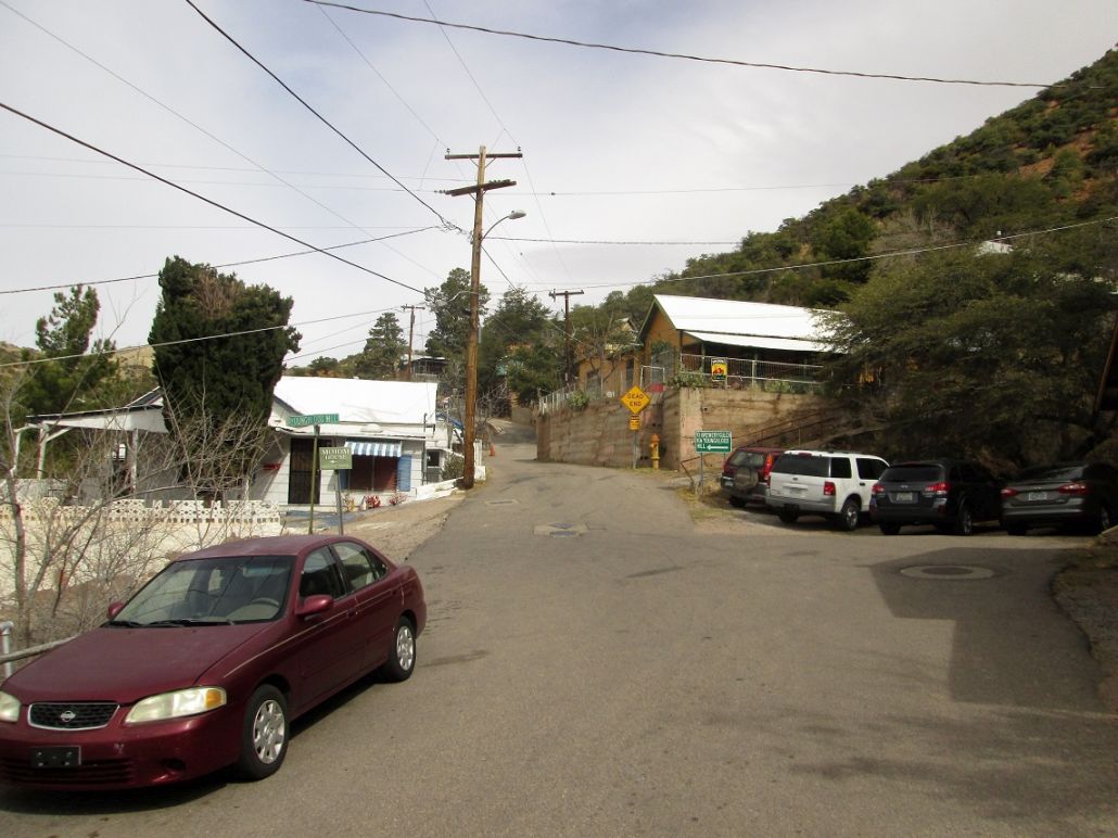
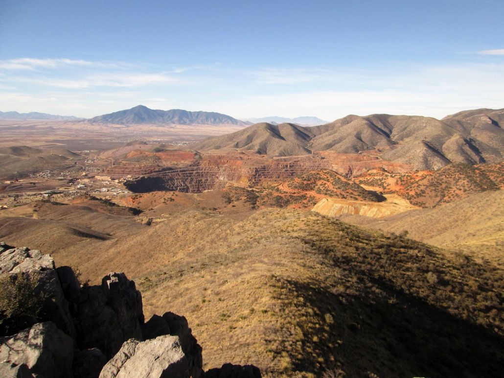
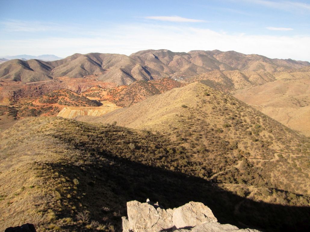
I was up early the next morning to hike up Mural Hill. I got back onto AZ-92 and immediately entered Bisbee, said a city-limits sign. Bisbee is shaped like a big spider, incorporating about five smaller towns such as Lowell, Warren, Saginaw, Don Luis and Huachuca Village, along with Old Bisbee. It's in Old Bisbee where all the old buildings are located. The other "sectors" are like little villages unto themselves, all with their own character. Lowell is east of Old Bisbee and features the massive Lavender Pit open mine. I was into Old Bisbee after about a half-hour, and parked in a public lot on the east end of town, not far from the Copper Queen Hotel, elevation here about 5,300 feet.
I was ready for my hike about 6:40 a.m., the weather a little cloudy and cool, but mild. The first leg follows OK Street north about a half-mile, to where it ends at a private drive. There is a let-in point here to two trails, one going to the Catholic Shrine atop Youngblood Hill (which I hiked in 2016), the other going straight to the saddle between Youngblood and Chihuahua Hills. I followed this second trail and was on the saddle, having covered a mile and gained about 450 feet to get here.
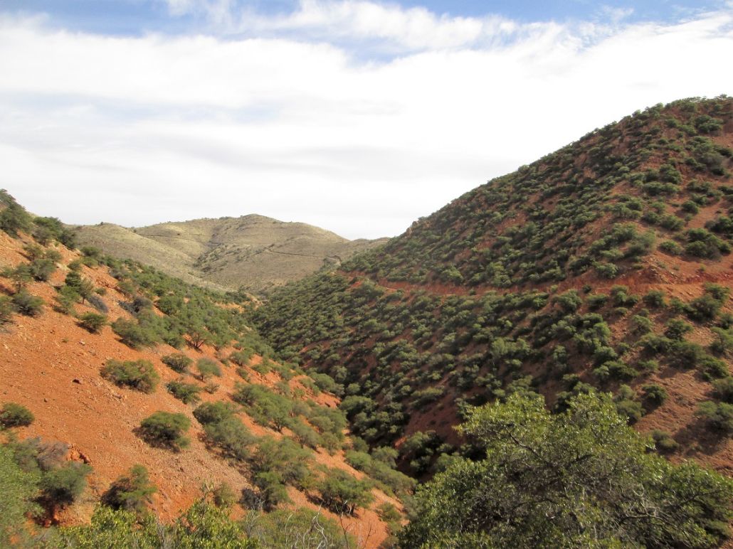
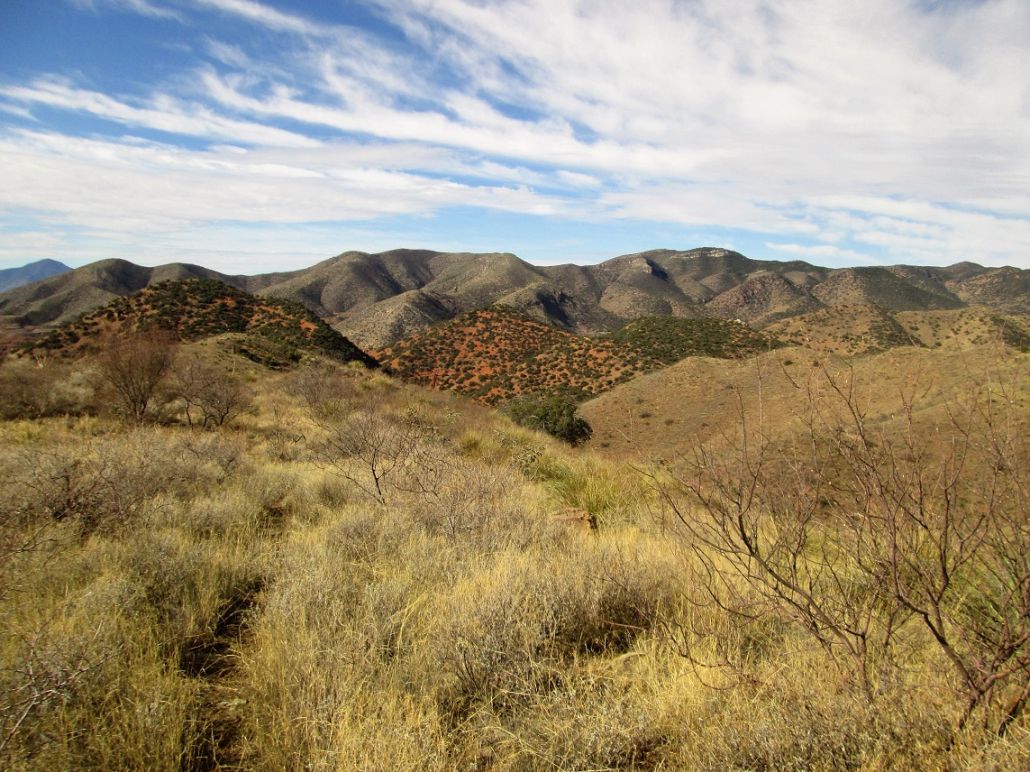
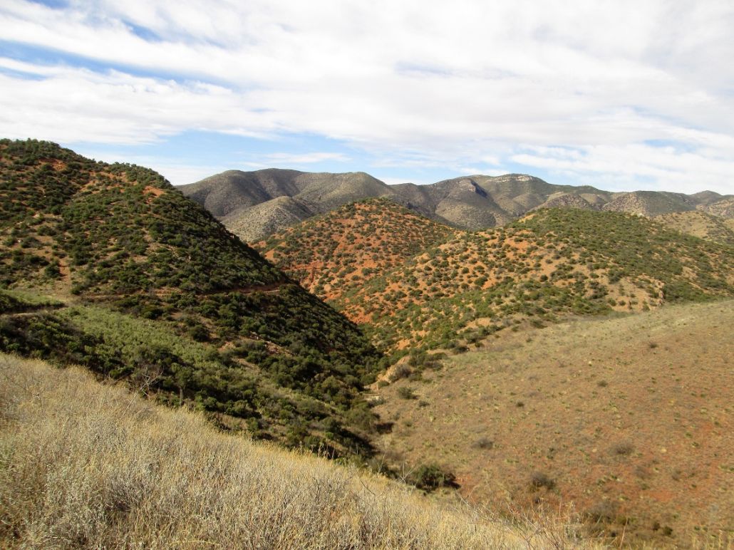
The next segment wasn't so welcome --- a 420-foot drop down rubbly mine roads into Dubacher Canyon. It was easy, but I knew I would have to regain this coming out. I then walked up the roads on the opposite side, heading north along the west slopes of Jones Hill. In time, I had hiked past Jones Hill where the trail then achieved a ridge. The terrain changed suddenly, from rocky and rubbly slopes with intermittent scrub and small trees, to gentler grassy slopes and ridges with almost no trees of any size to mention.
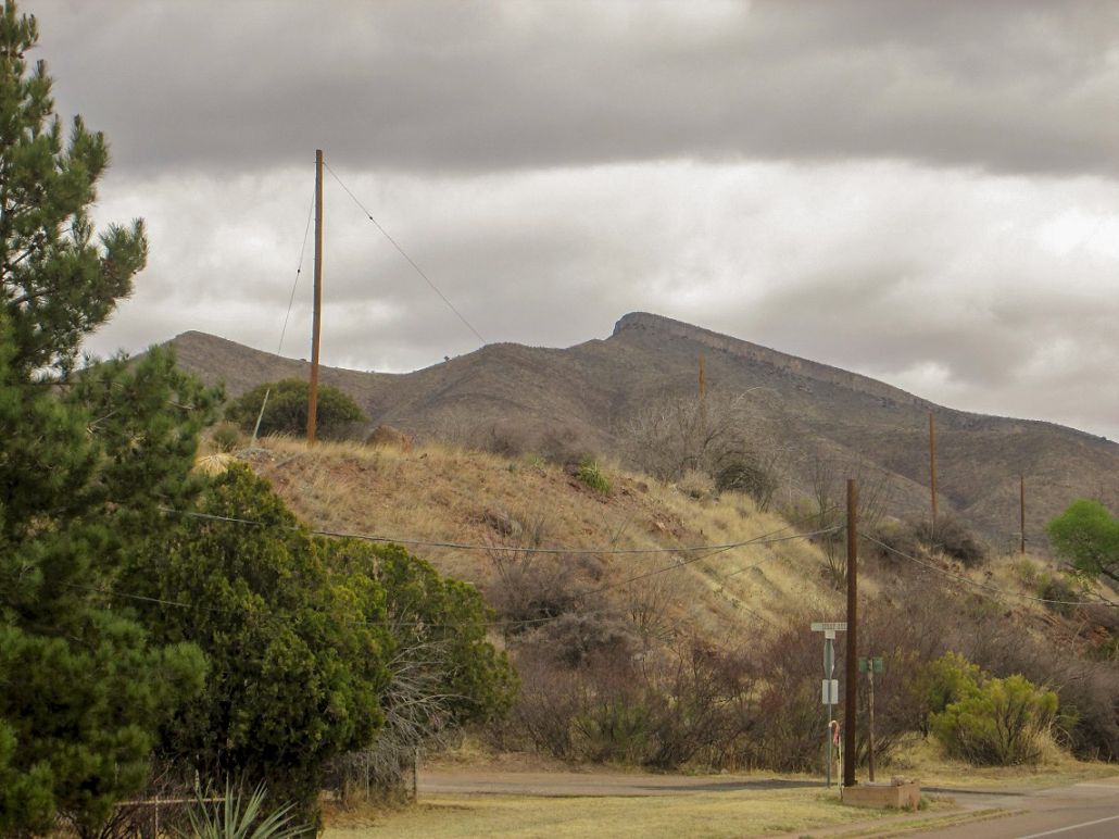
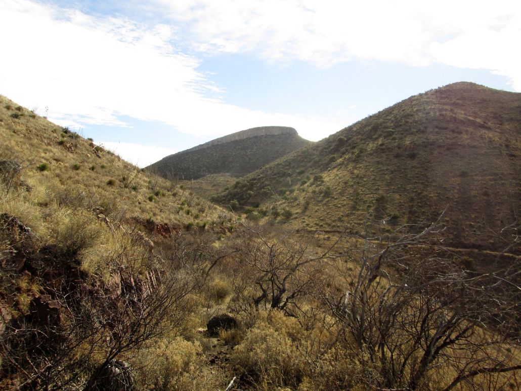
I followed these roads, which by now had narrowed into tracks with a well-beaten hiker's path. I came to a T-junction after about another mile from Dubacher Canyon, elevation 5,900 feet. Here, I had my first views of Mural Hill and its impressive cliff band. At the T-junction, I went right, gaining a little elevation then losing some as the track came to another junction. I angled left, weaved through a small patch of catclaw and scrubby trees, squeezed through an opening in a fence, and continued eastbound up the track, now on the north slopes of Mural Hill itself.
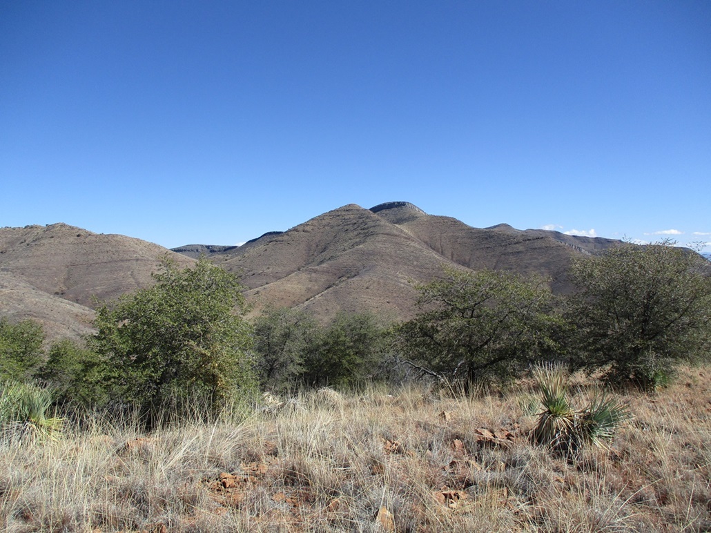
It was clear that climbing the cliffs directly looked like a fool's errand. They weren't broken into gullies. It was a uniform wall of limestone reef rock about 50 to 100 feet tall. Instead, I kept to the trail, aiming for a saddle up ahead at elevation 5,900 feet. This was about another mile since the T-junction mentioned earlier. I saw some white-tail deer up here.
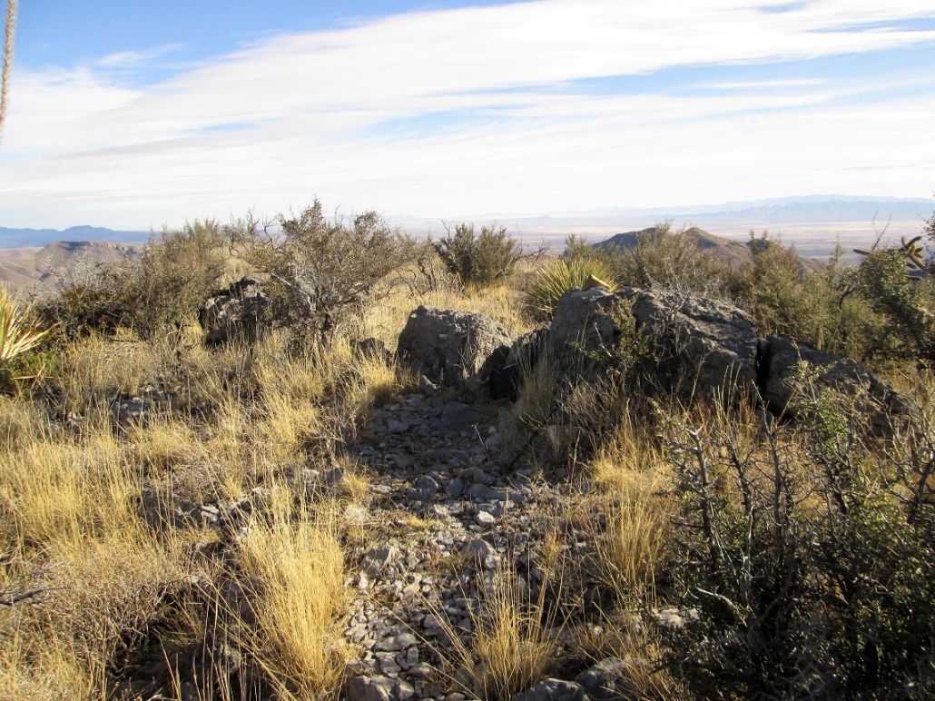
The trail angles right, then left. Here, I looked into a brushy gully northeast of Mural Hill and found a path, with ribbons tied to branches confirming this was something promising to follow. I followed this steep and loose path, gaining steeply to top out on the sloping summit plateau. I followed a wider path to the summit, on the plateau's west tip. At the summit rocks, I dropped the pack and stick and rested. It was 8:35 a.m., so I had been hiking just under two hours.
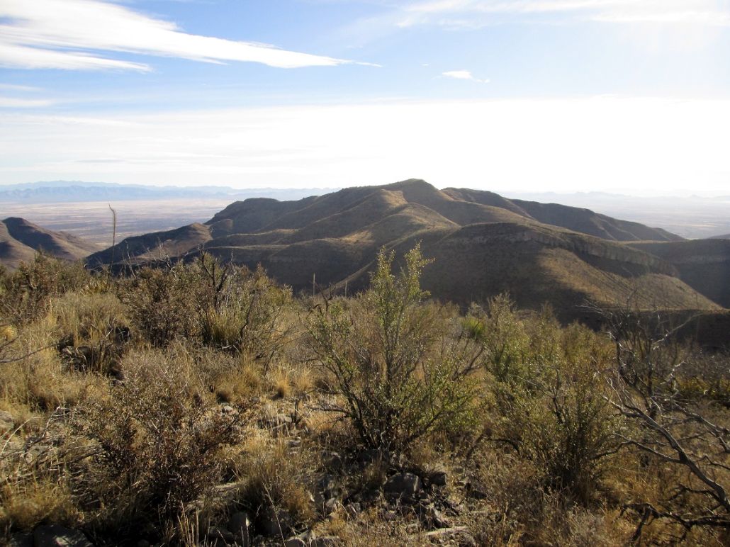
The day was warm and the sun was coming out. I had good views in all directions. Old Bisbee was mostly hidden behind the hills, but I could see many other hills surrounding me, plus the Lavender Pit to the south, and farther south, massive Cerro San Jose in Mexico, which I long to climb someday if I can ever find useful information on where to start and what cartel owns what on that mountain so I know what to avoid.
I spent about 20 minutes on the summit. The rocks are all limestone. They fracture and erode into interesting shapes. They look smooth, but are very rough to the touch. I could not find a register. Later, when speaking with a woman in town, she said there's a hiking club that comes up here about twice a year. She had been up here in the past.
Hiking down, I got a little "lost" on the plateau part, missing an important junction, which I was able to correct. I scooted down the steep section back onto the trail, and from there, just retraced my steps back to my car. That 420-foot drop into Dubacher Canyon needed to be regained, and I did not enjoy that bit at all. By now, the sun was shining and it was warming up. The highway is close by but heavily fenced at Dubacher Canyon. I had no choice but to regain that portion. The net gain for the hike was 1,200 feet from start to summit, but that 420-foot drop needed to be gained twice, so my gross gain was over 2,000 feet. I estimate the mileage to be 4 miles one way, perhaps less. I was back to my car at 10:30 sharp.
I ran a few errands in town before returning to our cabin where βð was holding fort. We had a wonderfully relaxing day here, no humans to bug us, completely quiet except for the many birds that live out here (this is a favorite area for birders). The clouds moved in and we had a little rain today. The place we stayed are called Red Mountain Cabins and we recommend them. It's rustic and off the grid. They're not cabins, but fully-furnished units.
There are many more old roads and tracks in these hills, more than you see on any map. The woman in town that I had spoke to told me about some loops she likes. We'll be back, we enjoy Bisbee very much. I learned that these hills are technically private, owned by the mining companies, but that access is allowed as long as people don't abuse the land. Target shooting and hunting is not allowed and I found the whole route to be surprisingly clean of shell casings and food wrappers. I did note, however, some hobo camps in the canyons far below. I was never close to them and frankly, if I was in their situation, camping here wouldn't be the worst thing ever.
|