The Mountains of Arizona
• www.surgent.net
|
|
Mormon Lake Lookout • Mahan Mountain I had a half-day open in the middle of the week and wanted to get up onto the Mogollon Plateau above the Mogollon Rim to tag a handful of peaks. Not being a weekend, I had some hope that the roads would be uncrowded and the forests not overrun with massive fifth wheels clogging up everything. I narrowed my focus on Mormon Lake Lookout, took a look at Peak 8147, then capped the morning on Mahan Mountain.
Date: June 3, 2020
• Elevation: 7,977 feet
• Prominence: 337 feet
• Distance: 3 miles
• Time: 1 hour, 10 minutes
• Gain: 430 feet
• Conditions: High clouds, sunny and warm
Arizona
•
Main
•
PB
•
LoJ
I left Payson at 6 a.m., the day sunny with high clouds to the north and east, but warm. It was in the high 60s here in Payson, which is warm for this time of the morning, and promised to be a hot day everywhere. In fact, later I would read it got up to the 113-115 degree range down in the deserts.
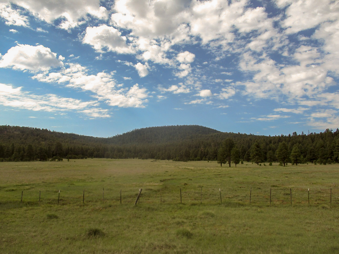
The drive up AZ-87 went well and there was little traffic. I got onto Lake Mary Road and drove another 25 miles, roughly 65 total from home, to situate myself abeam of Mormon Lake Lookout Hill. This hill lies southeast of Mormon Lake, one of the bigger moist spots up here on the plateau.
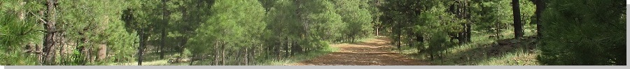
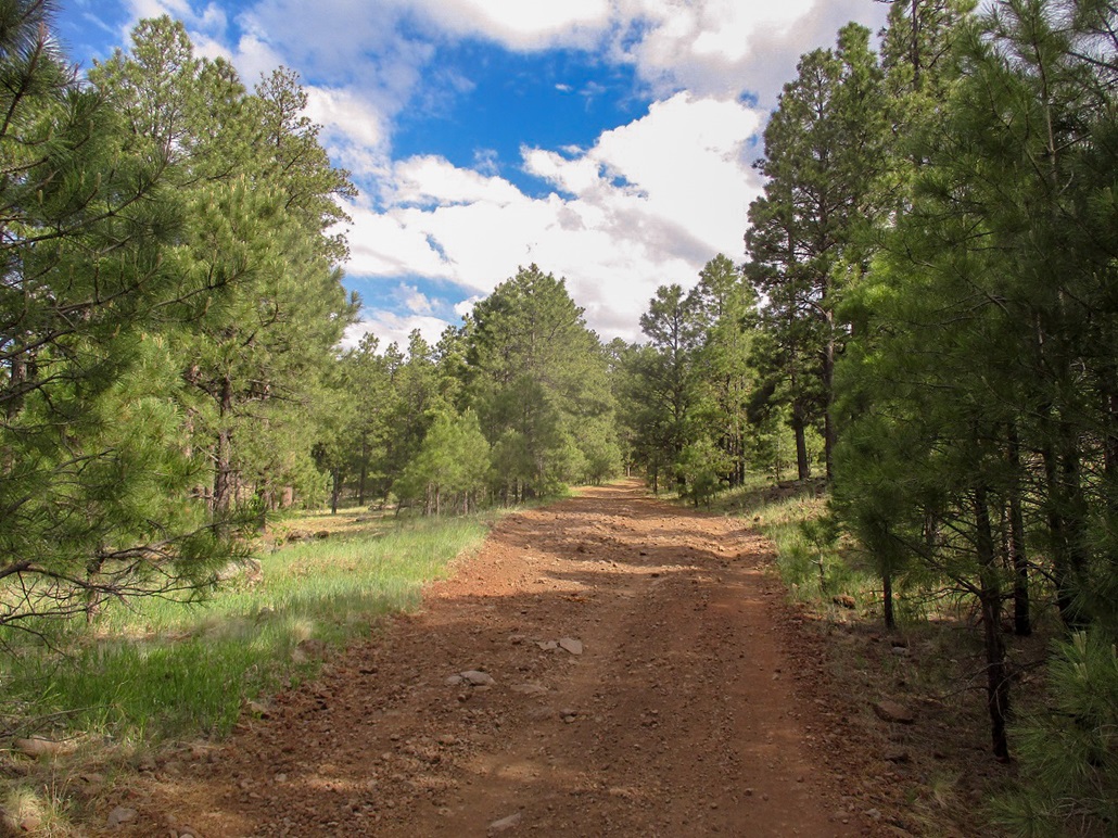
There are a number of forest tracks that lead to the top. The shortest ones were directly off Lake Mary Road but were steep and on poor-quality tracks. Thus, I came up from the south, along FR-124, then FR-124A. I was able to drive in about a half-mile on FR-124A. After the first rocky portion, I pulled into the first pullout I came to. I was a mile and a half south of the hill. Although a longer route, I would be on good forest roads the whole way.
I started hiking at 7:35 a.m., going light. It was cloudy but still and a little sultry. It was also warm up here too, about 70 degrees. That is not a bad temperature per se, but if it's 70 degrees at 7,600 feet at 7:30 in the morning, that's a good indicator it will be a warm day, even up here.
I walked roughly a mile north on FR124A to a junction, catching FR-124B which angles northwest and up to the top of the hill. This went well. At the top, a lesser track with a gate and a metal register kiosk leads to the top. I walked up this road to the top... and was a little surprised at what I did not find.
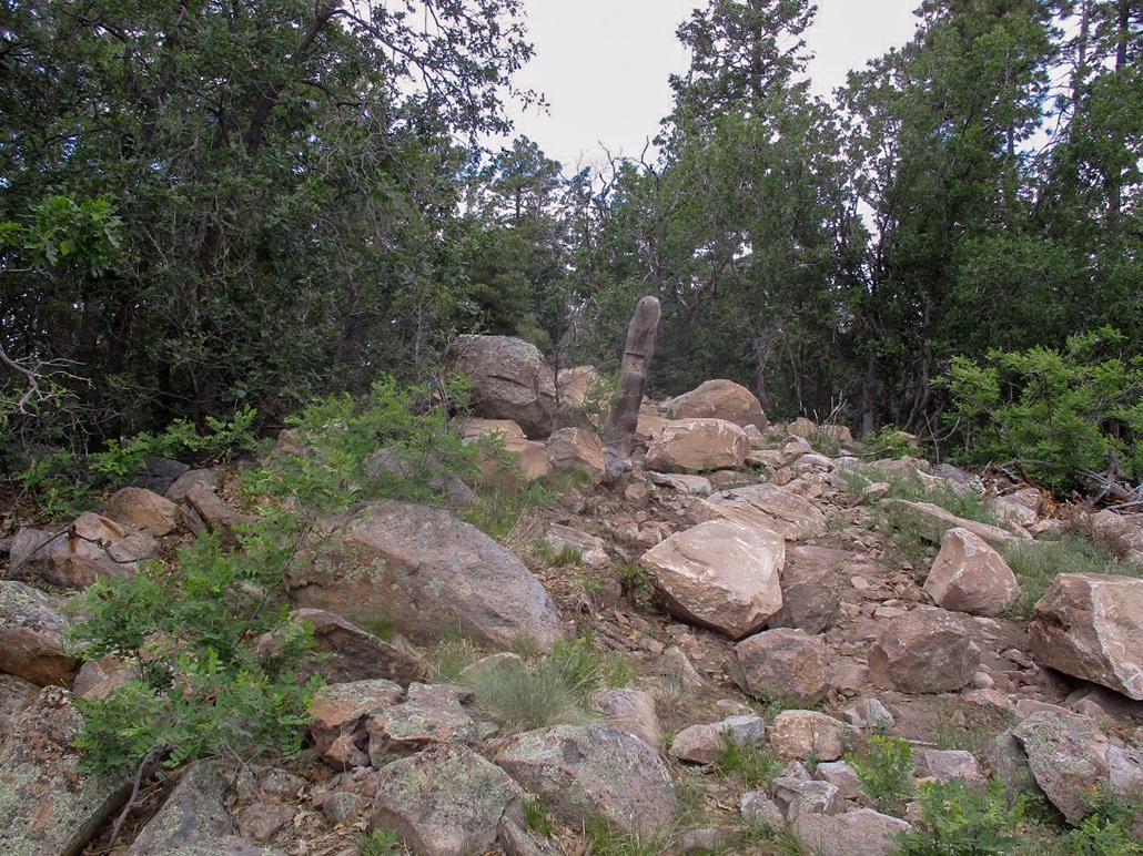
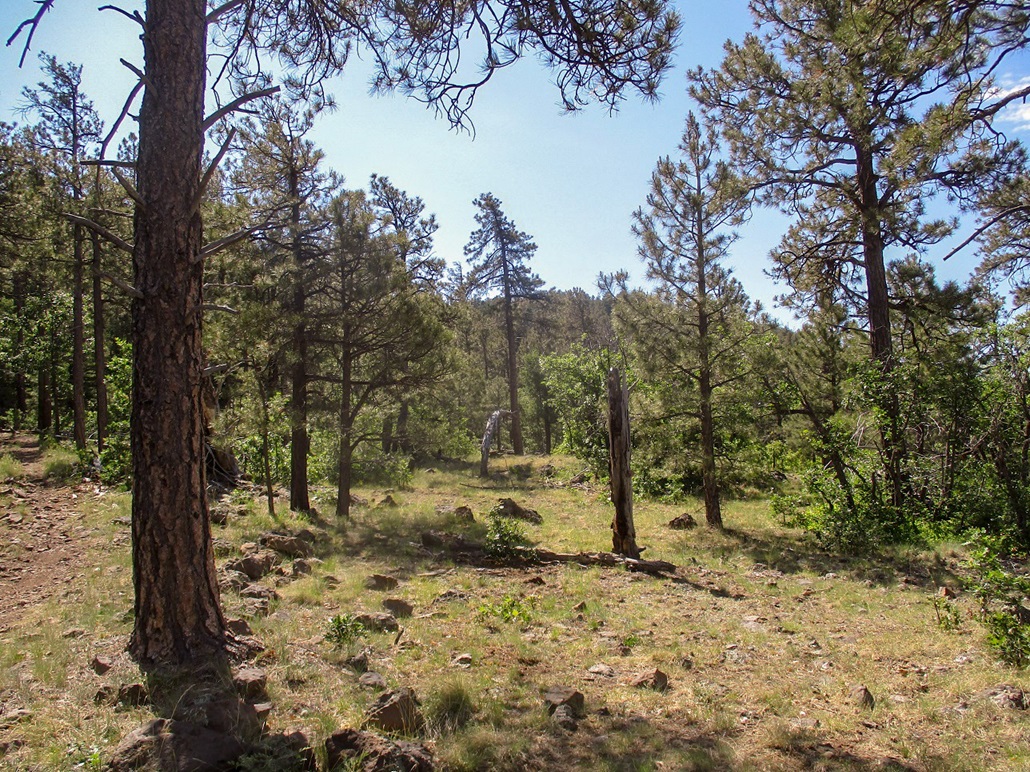
There is no lookout up here any more! Old images show the lookout plus a badly-decaying wooden cabin that was leaning heavily as of a couple years ago. Well, those are gone. The top was a jumble of rocks seemingly pushed into a rough heap by bulldozers. It was not the way rocks would lie naturally. I thought I was in the wrong place, but no, I was in the correct place. I double checked my maps and walked around to be sure.
I was a little bummed because I wanted to see the lookout plus the leaning shelter. The lookout has not been in commission for years and the shelter was so badly leaning to one side that the Forest Service probably felt it wise to remove it all, lest someone get injured. Actually, it was a very homely summit.
I walked back the way I came and was back to my car in a little over an hour. The sun popped out as I hiked out, so I got better images, but I did not take that many to begin with.
I considered climbing a hill to the south, but it is wooded and with the warmth, lost interest quickly. I can always return when it's cooler. This time of year with the warmth, hiking through scrub, even at nearly 8,000 feet, is not wise due to the potential for snakes.
I drove south a few miles for my second short hike, Mahan Mountain. It once held a lookout. Would it still be there?
Elevation: 8,270 feet
• Prominence: 410 feet
• Distance: 2 miles
• Time: 1 hour, 5 minutes
• Gain: 470 feet
• Conditions: Sunny and warm
PB
•
LoJ
Mahan Mountain lies south of Hutch Mountain, which I hiked in 2008. It once held a lookout tower, but that tower was disassembled decades ago in favor of one on top of Hutch, which is the highest peak on the Mogollon Plateau.
I had hiked Mormon Lake Lookout earlier this morning. The drive from there to here took just 20 minutes. I followed FR-135 about three miles to where a side road leads north to Hutch Mountain. Mahan was ahead, to the southeast, but hidden by the trees. I parked in a clearing off the road and started walking.
I had a USFS topographical map, which shows "all" the roads and tracks, which can be helpful but also confusing. Today, it would be confusing. I followed a track off of FR153A, walking past a group of young women playing forest frisbee. Their camp was up where the roads and tracks all merged, and I was not sure which one was the right one. I followed one briefly but it lead away. I came back and asked the ladies about the tracks, mainly to set their minds at ease with my presence. They were friendly and one knew of the track I wanted. She was most helpful
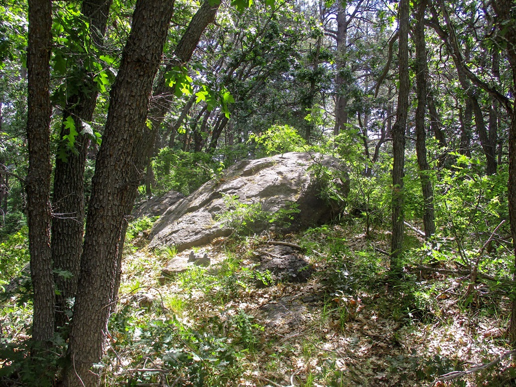
I found the proper track, which was steep and eroded at first, and just walked it uphill. It bent left once and aimed for the top, getting a little steep toward the end. Soon, I was on top. It was rocky and wooded, and I had limited views.
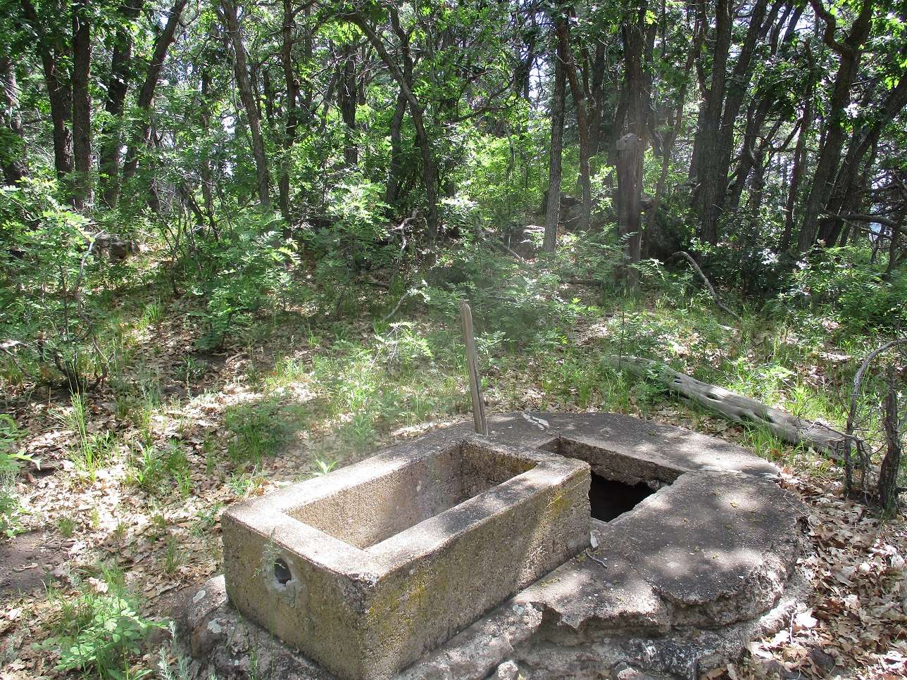
I found a concrete well/cistern, plus three of the four footings for the old tower. But no tower, as it was taken down ages ago. The top was a big rock, which was kind of nice. From the perch, I could see how the forest and slopes dropped all around me.
Since there were no views, I did not stick around long. I hiked out the same way and was back to my car in a little over an hour. The women were gone, but their camper was still there. It was nearing 11 a.m., so I headed home and worked from home for the latter half of the day.
The following website Forest Lookouts has information on many of the forest lookout towers. Below are some excerpts from the site. I encourage you to look at the site. I have found it to be very useful in uncovering information on these old lookouts.
September 18, 1935: "The tower on Mahan is in fairly good condition but if possible I would like to replace it with a tower on Hutch Mountain. Hutch Mountain is a higher point and covers all of the country which Mahan sees as well as the area north of it which is blind to Mahan.
Your approval is requested to replace the Bakers Butte and Mahan towers with standard Region 3, 30-ft. towers with living quarters on top. If the replacement of these towers is approved, it is planned to order the new towers from E.C.F. this winter and put them up in the spring with CCC labor." (Memorandum for Regional Forester from Forest Supervisor, Coconino N.F.)
September 19, 1935: "...If you do build a new layout on Hutch, we would recommend that the present layout on Mahan be left intact for use by emergency firemen and as a camp for district rangers." (Memorandum for Forest Supervisor, Coconino N.F. from Assistant Regional Forester)
September 25, 1935: "I have looked into the matter of new towers for Bakers Butte and Hutch Mountain and found that the 30-ft. structure at either place would be ample to cover the fire country. I am sure that a 30-ft. tower on Hutch Mountain will cover all of the country now covered by Mahan as well as a direct view into the Sawmill Springs Unit, and a great deal of the north end of the Forest which is now blind from Mahan..." (Memorandum for Regional Forester from Forest Supervisor, Coconino N.F.)
|


|