The Mountains of Arizona
• www.surgent.net
|
| Milos Butte |
• Mormon Mountain Volcanic Field • Coconino National Forest • Coconino County |
|
Date: May 20, 2022
• Elevation: 7,550 feet
• Prominence: 320 feet
• Distance: 4.8 miles
• Time: 90 minutes
• Gain: 450 feet
• Conditions: Sunny and mild
Arizona
•
Main
•
LoJ
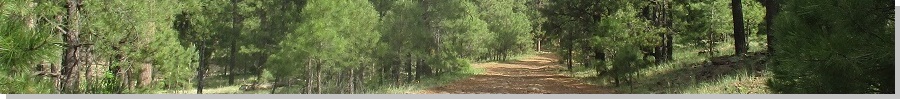
Milos Butte is a forested ridge south of Mormon Mountain & Lake, southeast of Munds Park. I was heading to Flagstaff and did not have a lot of time for diversions. However, I was interested in this hill as it would go quickly, and had tracks most of the way to the top.
I have not hiked in almost three weeks (not since May 2. I looked it up). This is mainly due to a very busy schedule in which I have virtually no available time. My right knee has also been acting up. I tweaked it back in January and it is still weak at times. No pain, just a little weak. In any case, I had been resting it, and figured today would be a good chance to test it again on a moderate hike to see how it would do.
I took the scenic route through Payson. I moved away from Payson a year ago. Passing through it, I get mixed feelings. I don't miss it, it's a scenic town, but that's about it. What I enjoyed while living there was the drives up onto the Mogollon Rim. I followed AZ-87 northwest through Pine and Strawberry. I remembered every curve by heart, even the place where I whammed an elk a year ago. Once onto the plateau, I followed AZ-87 to Clints Well and then onto Lake Mary Road. I drove this route about 20 times when living in Payson and grew to love it. It's scenic, tranquil and almost never crowded.
On Lake Mary Road, I drove northbound to Forest Road 91, signed for Lee Butte (and other places). This road is about three miles south of Mormon Lake. I followed FR-91, following the signs, until east of Milos Butte. The road was pretty good, just a few spots of rocks or ruts. I didn't track mileage, but I went in about 6 or 7 miles, taking about 20 minutes.
The road dips into an open meadow called Bert Lee Park. There is a home and small ranch property here. Milos Butte lies south of this park/property. One side road led to a gate and a "no trespassing" sign. Another track, a few feet south of the first one, was on forest property and would be my route to the top. It is signed as FR-9421W. I had to ease through a mudpit. I didn't get in far, just a few yards. I parked in an open spot near where this track split into two. The left track is FR-9421X. This is what I would follow first.
I got properly dressed and a simple pack together, and started hiking at 8 a.m. sharp. The day was cool and mild with a gentle breeze. I followed 9421X as it curled south, meeting FR-91A a little under a half-mile later. This road was an old "Industrial Railroad" track from about 90 years ago, when the hills up by Coulter Mountain were logged. The track was long-ago removed and no sign of it remains.
I followed FR-91A northwest, coming to a gate and a "no trespassing" sign, this being the same property I mentioned earlier. I veered left into the trees, following a lesser path, not shown on the topographic map. This lesser track loses distinction, but I stayed near the property fence and soon saw the roof of the main residence, the roof being bright green and easy to see. Whatever track I was following soon merged with a much better track, this being FR-9423. I hung a left and started uphill.
This track heads uphill and soon splits. The left fork is signed FR-9423C, but I didn't want that. I stayed right and not much later, came to another split, now going left, now on FR-9423A. Then, about ten minutes later, I came to a third junction, going left again, now on FR-9423B. These roads are shown on the 2016 Forest Service map and the map was critical for navigation. Otherwise, I would have guessed at each junction.
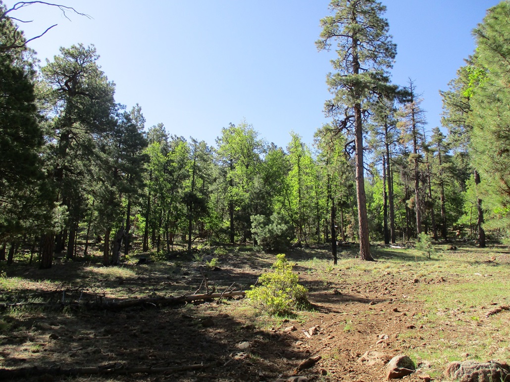
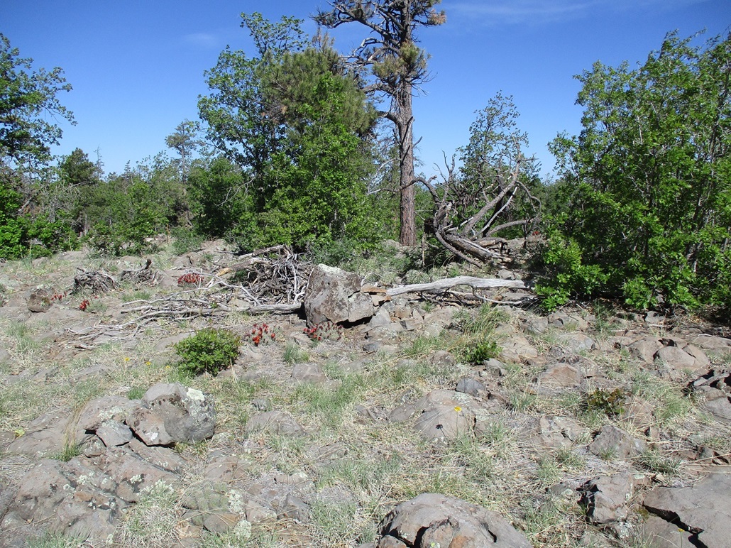
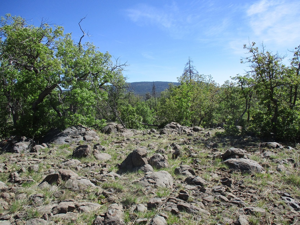
FR-9423B swings east across the north slope of the butte. Then it bends south, now on the butte's east slopes. The trees spread out more and I could see better, the top just uphill, perhaps an 80-foot gain. So I left the track and walked through the brush (a lot of catclaw) to the top, which is broad and gently rounded. Views were limited but looking north, I could see the outline of Mormon Mountain. I snapped a couple images of the top. My photos for this hike were limited. I could never get a good long-distance view of Milos Butte, and most of the hike was through the trees, where the photos all look the same. I scared up about a dozen deer and elk up high.
For the hike down, I retraced my steps and could see that big green roof of the residence. Once near it, I entered the trees to find that lesser track, then simply retraced my route back to my vehicle, a 90-minute hike. My knee held up well, but it was sensitive afterwards, and even swelled a little. I have no idea why it's acting up. Obviously, it's inflamed. It does not hurt, but is stiff. I rubbed a lot of arnica gel on it and took some Aleves to battle the inflammation. That seemed to help after a couple days.
On the drive out, I thought about hiking Peak 7730, but since I had a very long and busy day ahead of me, and that my knee was wobbly, I passed on this second peak and just got back onto Lake Mary Road and into Flagstaff. I was happy to get in this hike and glad it all went well.
|

|