|
|

Middle Camp Mountain the day before, at sunset
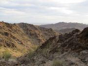
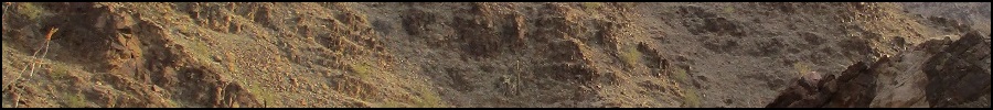
Morning sun brightens the canyon walls

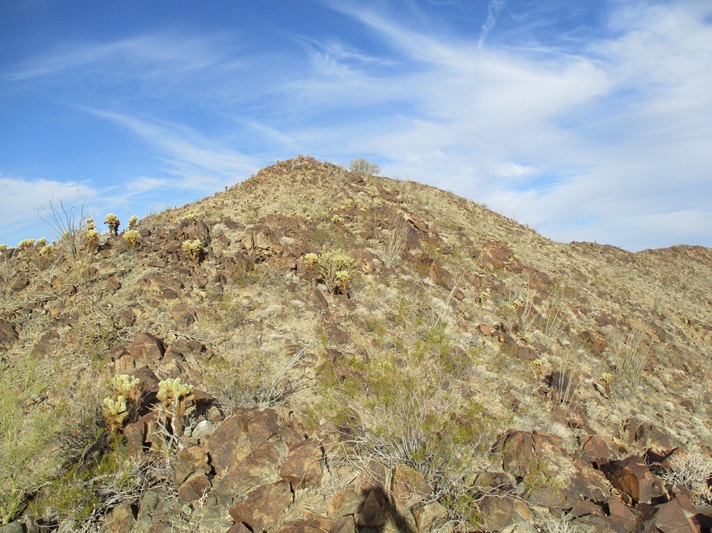
High on the ridge, not the summit yet

Nearing the top but still not quite there
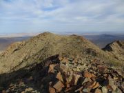
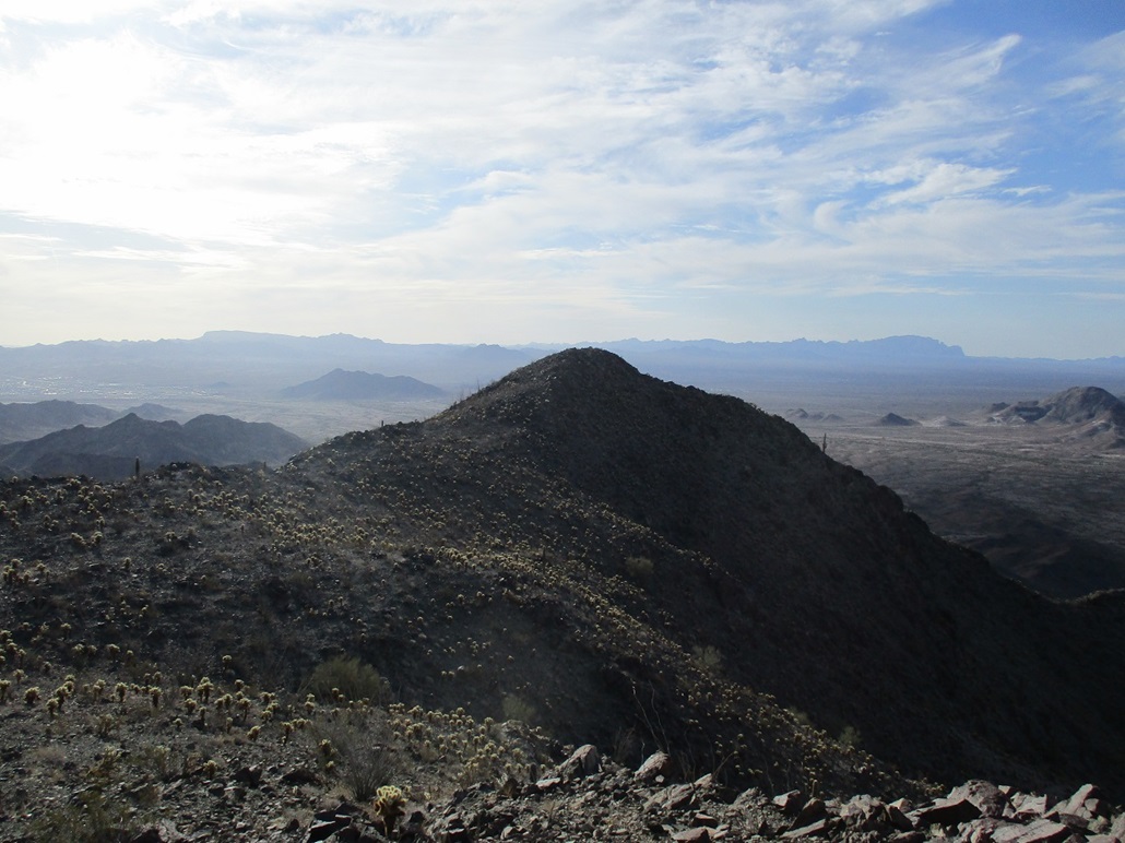
On top of the east summit with the benchmark, looking at the west summit
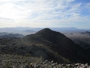
The east summit as viewed from the west summit, into the morning glare

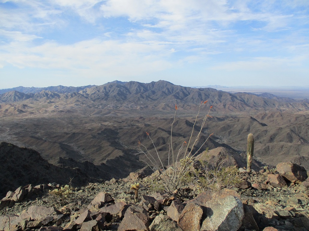
South view from the top, Sawtooth Mountain across Interstate-10

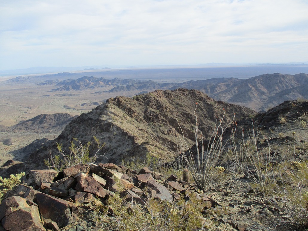
North view
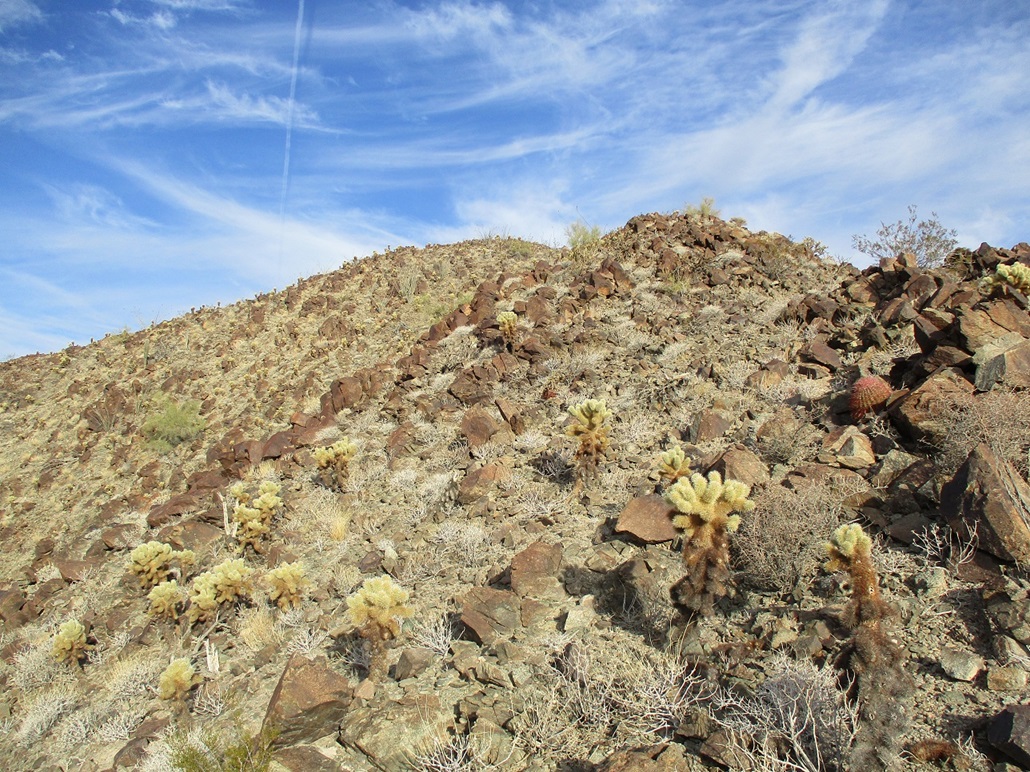
Hiking back to the east summit, this was really the only place where the cholla were thick

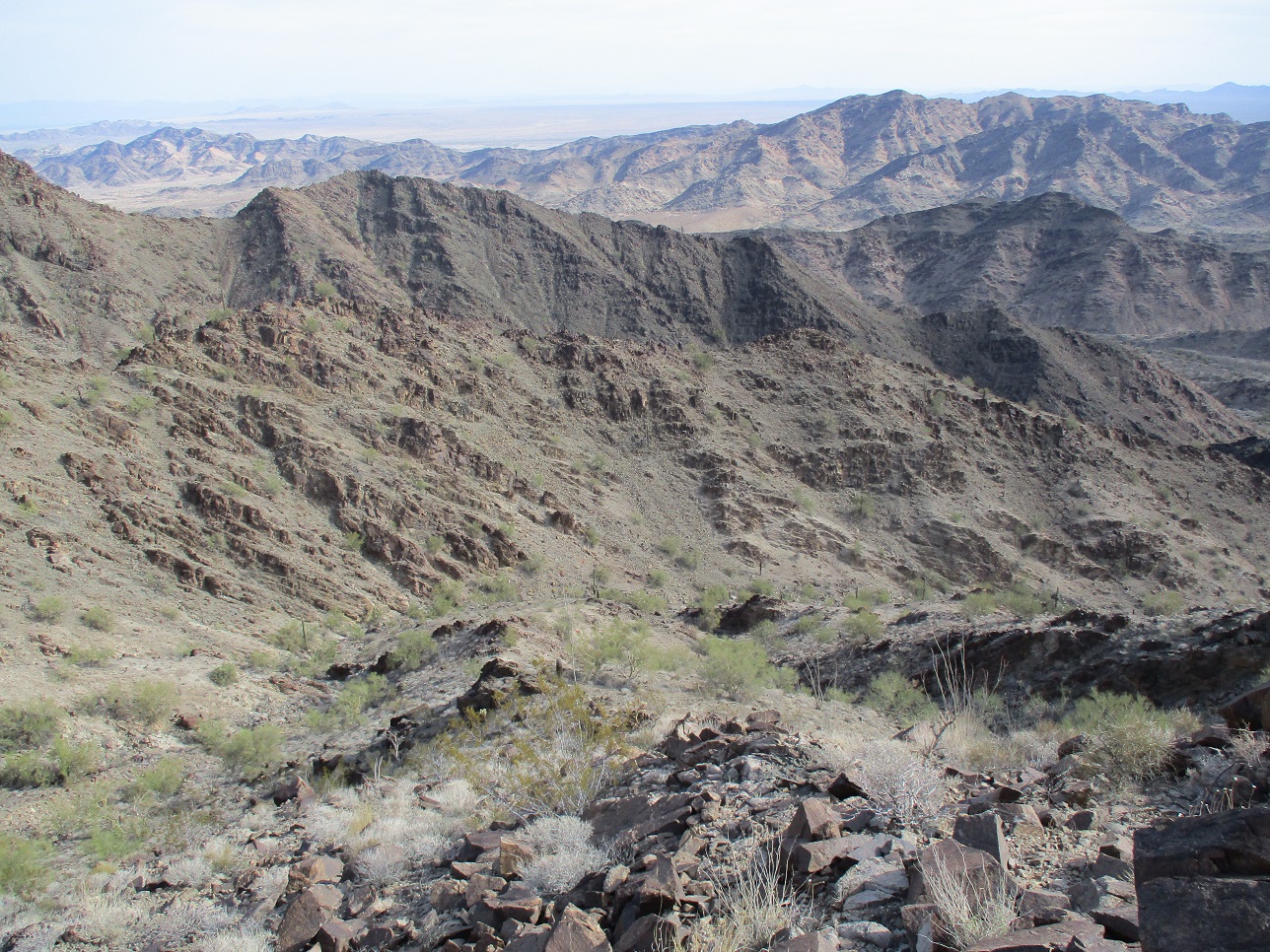
The slope down off the summit ridge. I ascended the drainage barely visible at the right, but I descended into the one at the left
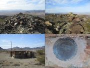
Summit shots of the east and west summits, a miner's shack, the benchmark
All images
• • •

The Arizona
Mountains Gazetteer
Click to find out more!
• • •

This came up once on a feed. Evidently, my "location" made the computer think I'm in or near Quartzsite, which I am not. I am in the same state, which is close enough. It also assumes I am dating, which I am also not. I have trouble envisioning this lovely young lady as being from, or currently in, Quartzsite. The algorithm needs work.
|
|
|
Date: April 3, 2022
• Elevation: 2,527-2,530 feet
• Prominence: 1,237-1,240 feet
• Distance: 3.2 miles
• Time: 3 hours, 15 minutes
• Gain: 1,180 feet (gross)
• Conditions: High clouds, pleasantly warm
Arizona
•
Main
•
AZ P1K
•
PB
•
LoJ
•
USGS BM Datasheet
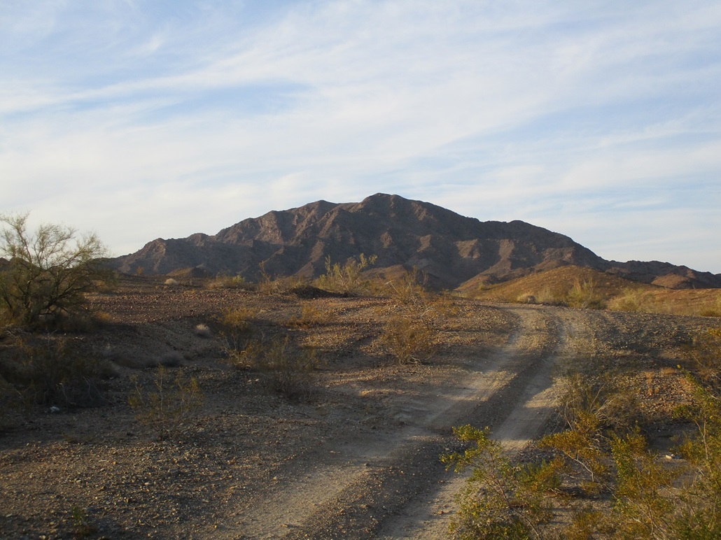
Middle Camp Mountain lies a couple miles north of Interstate-10, west of Quartzsite. There are no large foothills between the highway and the peak, so it is easily visible. I've been interested in this peak for awhile but its distance from Tempe usually dampened any enthusiasm to make the long drive to hike it. Finally, I got a big enough fire lit under my butt to go hike it. The weather is starting to warm so this would likely be the last chance to hike it until November.
The highs in the deserts have been in the 90-95° range with lows in the low 60s. If I got an early start, I could be down by late morning, when it would be warm but not hot. Given its distance, I didn't want to be on the road at 2 a.m. to be there at dawn. So I drove out the day before and car-camped. I left the Phoenix area about 3 p.m. and drove past Quartzsite, exiting at the Dome Rock Road exit. By now, it was past 5 and cooling into the low 80s. With the sun setting, it didn't feel hot at all.
I followed the road (BLM-124) east and north into a canyon. There are dozens of mines here, many active (by the looks of it, just individual miners, no big corporations). I drove in a little bit just to see what was there, but the better spots were a little farther back, so I retreated about a half mile and found a cleared area with a fire ring. A small hill kept me hidden, not that I was expecting company. I could still hear cars and trucks on the interstate.
I slept decently. Camp was just me on a cot in the open, no tent. When I wasn't sleeping, I stared at the stars. It was clear with wispy clouds. Occasionally, an airplane would fly over, too high to be heard but its blinking lights giving it away. At one point, a loud helicopter flew by, no idea why. I saw a couple shooting stars too. I was up before dawn and moving quickly. I broke down camp and drove back into the canyon, going in as far as was prudent. I parked in a small clearing just before the road became too rocky. I was moving at 6:15 a.m., the temperature about 65°. Clouds had moved in overnight, just the high clouds, nothing threatening. But it added a little humidity. Otherwise, the air was still, no breezes.
I walked the road another half mile. I was smart to park where I did because the road was much rockier, although a more robust vehicle would be fine on it. The road ends at a tiny turn-around, a plastic road marker blocking a path. Another path goes up and to the right. I wasn't sure which one to follow, so I took the right one, and it just ended a few yards later at a small saddle, so I returned back. Invoking the Aristotelian Law of the Excluded Middle, [(A ∨ B) ∧ ¬A] → B, I then surmised that the left path was the correct path to follow.
I dropped into the parallel drainage, then quickly up the other side, catching a faint path which went on a few hundred feet. When it gave out, I re-entered the drainage. The drainage makes a ninety-degree turn and aims west, the summit up ahead but not visible (or maybe it is, I could not be sure). The drainage was not bad. It wasn't choked with brush and the rocks were solid. Occasionally, I had to scoot up about 6 feet of sloping rock. I kept going until I came to a Y-junction.
A straight at this Y would have kept me within the main drainage, but a batch of palo verde and other brush blocked the way. The left drainage looked decent, so I went up it. And it was a good drainage. It was steeper, but solid the whole way up. Slowly, it opened up more, now on the high slope about 150 feet below the highest ridge. By now, I was in the sun, but the clouds would block it out for minutes at a time. I could feel the warmth even at this early hour.
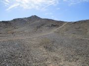
The slope here was steep and a little loose, but manageable. I seemed to tack right and aim for a subridge, where the rocks on it looked more solid. I got to it, then on its other side, saw a promising ramp hugging the rocks. This went well too, but was loose. A couple times, I back-slid a foot or two. I just had to move slowly and carefully, not rush things. I was soon above these loose slopes and on the highest ridge, the peak's main east ridge. I was about a quarter-mile away from the top but still over 400 vertical feet below it.
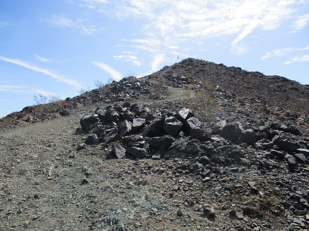
The ridge was narrow but not knife-edge narrow. It had rock outcrops then short segments of dirt and cactus. Going up and down the outcrops took time and I moved slowly, but it was simple, nothing beyond Class-2, no exposed scrambles of any sort. Up ahead it got steep, but I was able to find ways around or up and over. So it took time, but I was making good progress.
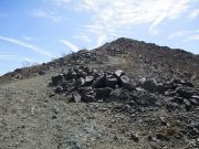
As I gained elevation, I thought the highpoints up ahead were the summit, but they were not. I was fooled twice. Finally, I could see a highpoint with an obvious cairn atop it, so I knew I was very close. I slowed down to savor the fruits of my labor. I tagged the cairn, found the benchmark, dropped the pack and looked over to see another peak just as high, another quarter mile west. Ugh, I had more to go. However, the terrain between the two peaks was the friendliest of the whole hike: open, no rocks, some cactus, easy gradients. I walked over to it in a matter of minutes.
The register was here and those who had signed in (the usual culprits) seemed to be in consensus that this western bump is a foot or two higher, certainly too close to call. I signed in and enjoyed some down time. I snapped a couple images and rested in the pleasant warmth. It was just shy of 8 a.m., about a 90-minute hike covering 1.6 miles. I spent five minutes at this western bump, then hiked back to the eastern one and spent another minute or two there as well, before starting down. The clouds had passed on and it was sunnier now.
I started down, carefully picking my way through the rocks until I was at the point where I had met the ridge on the ascent (a funny-shaped cholla helped remind me of this spot). Going down would be the challenge of the day. It was loose, so I went real slow and kept to the rocks as much as possible, using five points of contact at times. When I was down below the steepest parts, I had an elevated view where I could see my ascent drainage to my right, and the "main" drainage to my left. While I preferred to stick to my ascent route, it was clear that the slopes to the drainage at my left looked friendlier, so I went that way.
This worked well. The drainage was rocky and minorly brushy but not challenging at all. The biggest dryfall measured perhaps 8 feet high with a nice slope. I got back to that Y junction mentioned earlier, and those palo verdes in the way. I got around them by going upslope and back into the drainage, then from there, just walked out to the road and back to my car. I was back at 9:30 a.m., a three-hour and fifteen-minute hike. It was warm, but not hot, in the mid 70s. It was a good hike and I was very pleased how well it went.
I took some time to sit and relax. I had nothing else on the agenda except to get back to Tempe by evening. Why rush things? I was in a nice spot, so I sat there and vegged, and let my sore muscles turn to jelly. After awhile, I got moving, slowly driving out to the interstate. I had some vague plans to hike some lower ranked peaks in the area, but it was warming by now into the low 80s. While still not hot, it was warm and I wasn't that motivated to bust a gut to tag a summit unless it was a really easy one.
Fortunately, there was an excellent option right here in Quartzsite ...

Q Mountain
|
• Town of Quartzsite
|
Elevation: 1,113 feet • Prominence: 193 feet • Distance: 0.5 mile • Time: 20 minutes • Gain: 210 feet • Conditions: warm
Q Mountain is a conical bump with slightly less than 200 feet of prominence, with a big "Q" on its north slope. It has tracks up its sides and around it, and looked easy. This would do nicely.
I exited at the western Quartzsite exit near the Love's truckstop, went south to a stop sign, then left onto Kuehn Avenue, which is a frontage to the interstate. Then, I just guessed on what roads to take. The hill is not far, maybe a half mile south. I followed Kofa Road, then slightly cross-country though the desert until I was on the gravelly apron below the hill.
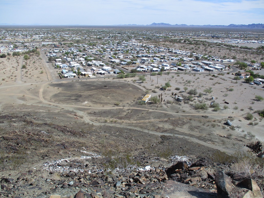
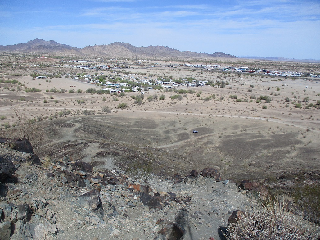
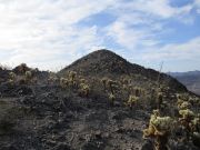
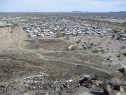
The hike went real fast. I walked up the road to a little saddle, then up a footpath to the top, taking about 10 minutes. I was a little wobbly, my legs telling me they just wanted to relax, not do more hiking. The views were pretty good. I could see the many manufactured homes in town, plus the surrounding desert and the warren of tracks crossing everywhere, some to old mines and others to who knows where. I could even see Middle Camp Mountain. It's the left-most peak in the 4th photo below.
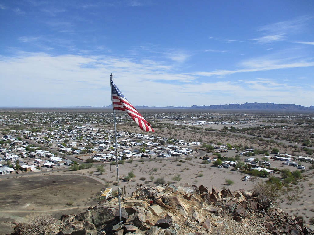
I hiked right back down, the round trip about a half mile, taking 20 minutes. Not too shabby. As I exited, I snapped a few more images of the big "Q". Then I drove back to Kuehn, then to AZ-95 in the middle of town, catching the interstate again at the east end.
Quartzsite is a really odd place. In the winter, it swells ten-fold in population with RVers and boondockers. It has huge gem shows and everything seems to be run out of big tents. By this time of year, most of the ephemeral population has left. It's a weird mix of rock hounds, retirees, hippies and desert rats. Most people just stop in town to get gas and miss all this.
I got back onto the Interstate, but rather than take it all the way into Phoenix, I exited at the US-60, followed it to Salome, and took Salome Road back to the Interstate at the Harquahala Valley onramp. No reason, just wanted a scenic drive and not have to deal with trucks and speeding fools from Cali. I was back "home" by 2 p.m..
This is my 30th year in Arizona. I'm from California too, but left in 1992 after college. I still have strong California roots (family, friends, Dodgers and Kings). But the recent influx of people from California into Arizona in general, Phoenix in particular, has bothered me. There is the home price thing. There's also the California driving thing (staying in left lanes, cutting gore points, etc). The uglier aspects of California seem to be transported into Phoenix like a rigid transformation. Well, the math guy in me just wants to apply the inverse transform and send them back ... or at least tell them to slow down, be cool and keep that SoCal b.s. at the state line. Phoenix used to have a mellow side to it. It was a big city but cazh. Now it just seems like Los Angeles again. I was glad to leave L.A. behind and don't miss that at all. Now it's right here with me. But me, I am bailing. I'll be moving to an unidentified southeastern Arizona city in the near future. I'll be in Phoenix semi-regularly, but know I don't have to live full time in it. Sorry to rant. Where was I? Oh yeah. I enjoyed today's hikes and pleased it had gone well, no broken bones or snake bites, and a decent sunburn to show off. As you were.
Start
|
Halfway
|
Q from above
|

West view, car
|

Flag
|
|