The Mountains of Arizona
• www.surgent.net
|
| Mescal Ridge |
• Tonto National Forest • Hellsgate Wilderness • Gila County |
|
Date: March 7, 2021
• Elevation: 5,743 feet
• Prominence: 323 feet
• Distance: 6 miles
• Time: 2 hours, 45 minutes
• Gain: 803 feet (net), 1,283 feet (gross)
• Conditions: Sunny and pleasant, general high clouds but mostly blue skies
Arizona
•
Main
•
PB
•
LoJ
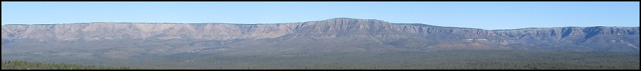
Mescal Ridge lies about 15 miles east of Payson, fronting Tonto Creek to the east and within the Hellsgate Wilderness. Most of the hike follows trails with just a small amount of off-trail to gain the summit. As is typical for these "mountains", it is a gentle hill lying atop sloping plateau cut by multitudes of canyons, both big and small. Some of the canyons here have drops of over a thousand feet. Some people like to get deep into the canyons and look up. Me, I like to stay up high and look down.
The hike starts at the Bear Flat Campground and Day Use area, which lies on the Tonto Creek itself. The drive there is interesting, featuring a steep and exposed dirt road for the final mile into the canyon. From my home, I went east on highway AZ-260 to the entrance onto Tonto Forest Road 405A (just past milepost 263). I followed this road a couple miles. It becomes FR-405, bends past Boy Tank Hill (Peak 5878), and after a couple more miles, rises to an apex, elevation 5,460 feet, before dropping into the canyon to the Bear Flat area.
The road to Bear Flat is in good shape when dry, but in segments was a narrow shelf road with exposure. I put my car in low gear and scooted down at 5 m.p.h.. There were a couple hairpin turns, and the lowest segment, the final quarter-mile, was the steepest. The road drops 500 feet in a mile, with grades pushing 20% in places. I got down it just fine. The Bear Flat area now prohibits camping, but is open to day users, mainly hikers and fishers. Under no circumstances would I advise to bring a trailer or an RV down that road. This may be why the campground was closed, partly to keep people from unknowingly dragging along their massive motorhomes down that road. There are plenty of spots on the higher portions of FR-405 where one can set up their camping fortresses.
I rolled into the day use area at 8:05 a.m., still in the shade, the air temperature in the high 30s. I was the first one here. I parked in a pullout and got situated, lollygagging a little to allow the sun to rise and warm things up. The road itself goes another few dozen feet to where it crosses Tonto Creek --- or more accurately, Tonto Creek crosses over the road about an inch deep, the road acting like a small weir dam. Past this is the Bear Flats Community, a small patch of private land and a handful of homes.
I started walking at 8:15 a.m.. I walked down the embankment to Tonto Creek, seeing the trail on the other side. The creek was about fifteen feet wide and a foot deep, and flowing slowly. I took off my shoes and socks and walked through the water to the other side. The water was very cold, and my feet felt like ice blocks afterwards. I dried them off, put my socks and shoes back, and started walking to warm my feet again.
Up the other side, I came to a fence line. I looked for a way past it. I walked toward the nearest the residence and found a forest-service trail sign which said to go up, but there was no way past the fence here --- no gate or stile or opening. So I walked the other way, away from the residence. About a hundred feet away, I found a gate in the fence, so I passed through it, then started steeply uphill. I angled left back toward the residence, but went up more then left, and within minutes had found the trail, which here was an old Jeep track. This is designated the Bear Flat Trail (Trail #178).
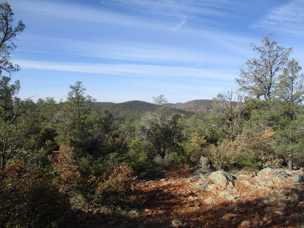
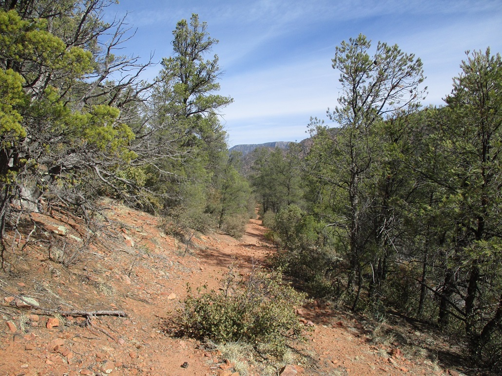
I started up this track, which was very steep. Fortunately, the tread was smooth with gravel and it held together well, no rubbly rock or erosion grooves to slow me. This initial segment went by quickly, gaining about 250 feet, achieveing a small ridge where the trail briefly leveled and emerged from the forest. Along the way, there is a sign mentioning the Hellsgate Wilderness boundary. The trail was level for just a few yards, then started up more steep slopes, switchbacking in places. It stayed this way until the trail met up with the Mescal Ridge Trail (#186), a little over a mile from the start, elevation 5,580 feet. The forest here was a mix of big ponderosa, patches of mountain oak and emory pines. However, views were opening up, with other ridges now visible to the east and north.
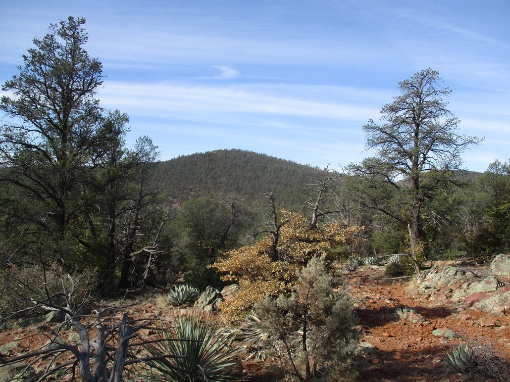
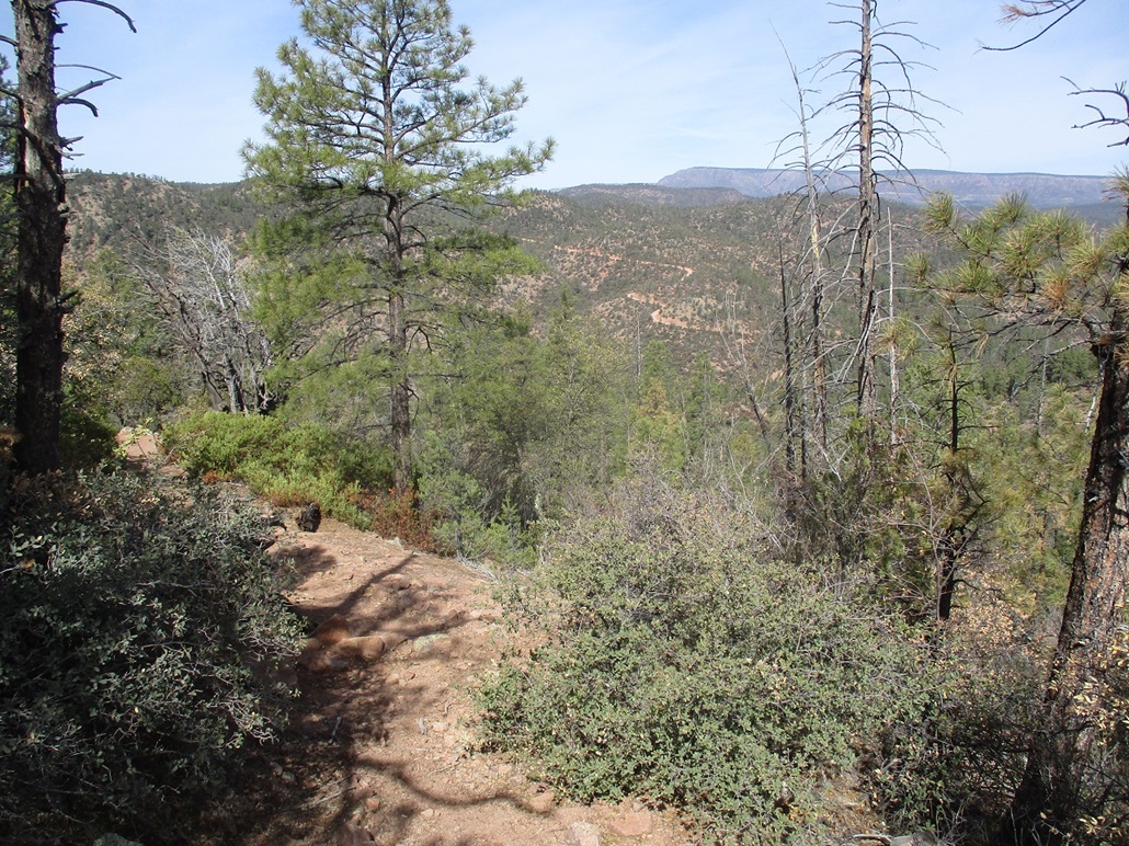
At the trail junction, there was a signpost, but no sign. I knew to go right (south). The trail drops slightly, then gains a little under a hundred feet to reach its apex on the east slope of Hill 5755. Here, I had my first view of my destination, a squat forest-covered hill about a mile distant. The trail then descended about 240 feet to a saddle north of this hill. Along the way, it passed a couple of stock tanks, and even had a small uphill segment to top out on a tiny knob. The tread was a little rockier now, and in spots the trail would grow indistinct or braid into three or four possibilities. The cows didn't help as they would trample a whole area to where any trail was essentialy erased. But I never got off route for more than a few yards. I used common sense and also a few older footprints to keep me on the correct route. I was making good time.
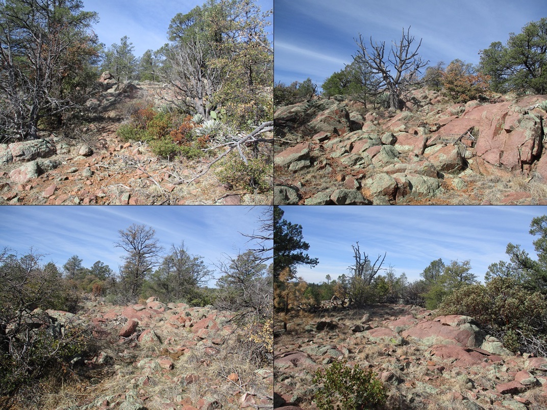
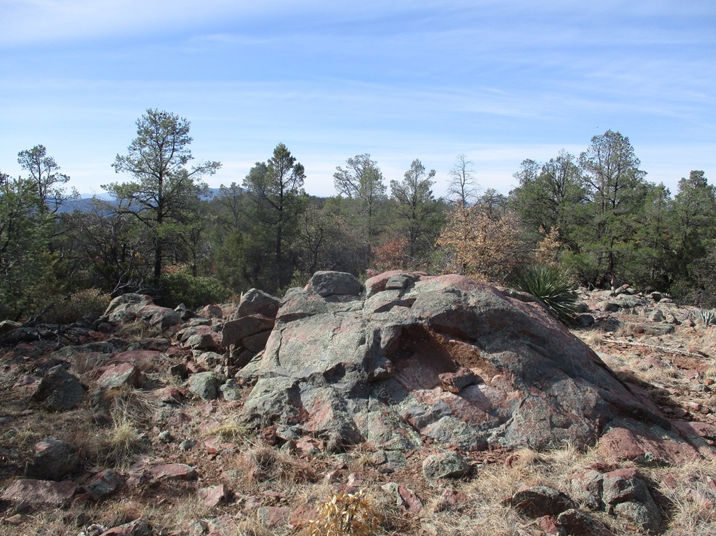
I hiked until the trail reached a local highpoint north of Scout Tank. There were cattle here, most hidden in the brush but one guy just staring at me. I was east of the top, less than a quarter-mile away, about 200 feet higher. The forest here was not as thick, with more junipers and succulents, and I found lanes almost the entire way up. The last 50 feet was more rocky than foresty, and I was soon on top, now just a matter of tagging all the contending rock outcrops. I kept walking until I found the definitive rock outcrop marking the highest point. It had taken me 90 minutes to get here, and I sat atop the summit rock for a ten-minute break and a chance to inspect the scenery.
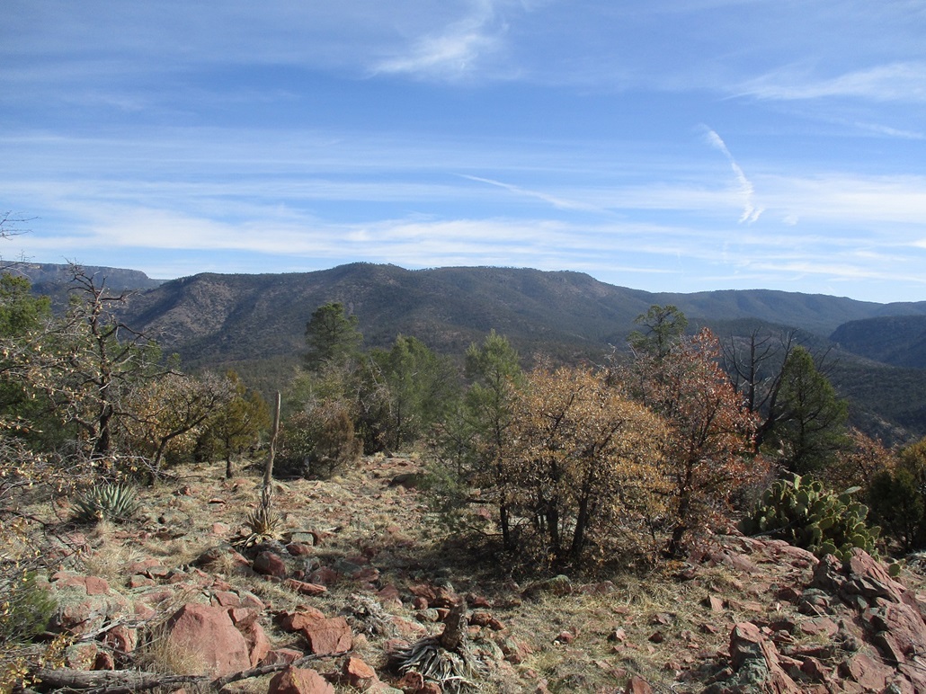
The day had warmed nicely, into the 50s, mostly sunny with some high clouds. Across Tonto Creek Canyon was King Ridge, just a mile away. I hiked King Ridge back in mid-January. Most other views were blocked partially by trees, but I had good views of the Christopher Mountain Ridge, plus the Mogollon Rim behind it when it wasn't blocked by ridges and trees.
I hiked out the same way, catching the trail near that one cow that had not moved at all. I kept to the trails and was back to my car in a little over an hour. At Tonto Creek, I walked out by following a trail near the residence that lets out onto the road near the big No Trespassing sign. Then I walked back to my car, crossing the creek where it crosses the road, the water about an inch deep at most. By now, three other cars were parked here, a few people were milling around, one group looking like they were going to fish in the creek. I had been gone just under three hours, covering six miles round trip.
Driving up FR-405 was easy but demanded attention. I just hoped no one was coming down, and luckily, no one did. Once above the steepest parts, I drove out to the main highway and on home, home a little before noon.
|


|