The Mountains of Arizona
• www.surgent.net
|
| McDowell Peak |
• McDowell Mountains • McDowell Sonoran Preserve • Maricopa County |
|
Date: January 2, 2016
• Elevation: 4,033 feet (per LIDAR)
• Prominence: 1,002 feet (per LIDAR)
• Distance: 8 miles
• Time: 4 hours
• Gain: 2,350 feet
• Conditions: Clear, cold and very breezy
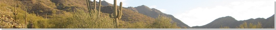
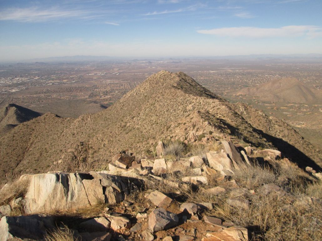
McDowell Peak is the highest peak of the west "wall" of peaks in the McDowell Mountains of Scottsdale. It is north of Thompson Peak (with the towers) and south of the pillar of rock known as Toms Thumb. McDowell Peak s elevation is 4,034 feet, just a couple dozen feet lower than East End, the range highpoint.
There are two McDowell mountains nearby one another. Mount McDowell is a stand-alone peak with a distinct reddish color and spire located about 10 miles to the southeast of the main McDowell range. The name apparently comes from General Irvin McDowell of the Union forces during the Civil War. A major boulevard in Phoenix is named for him. Ironically, General McDowell never set foot inside Arizona during his lifetime.
I wanted to start 2016 off right, so I chose to hike McDowell Peak, which is very close to my home. I drove to the Gateway Trailhead off of Thompson Peak Parkway, north of Bell Road, a total distance of four miles of driving. I arrived a little before 8 a.m., the parking lot already filling up. I got my stuff together, locked up the truck, and started my walk at 8:05. The day was clear and mildly chilly, with a steady breeze.
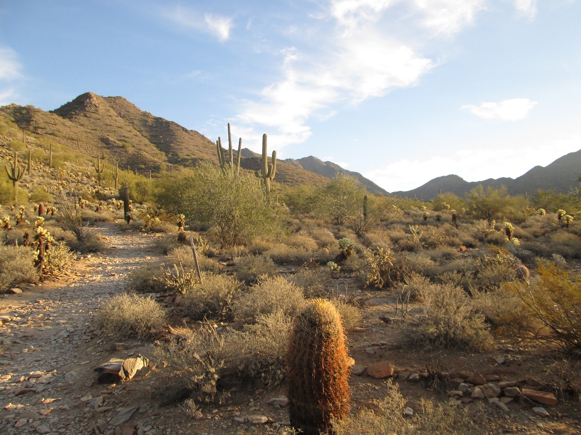
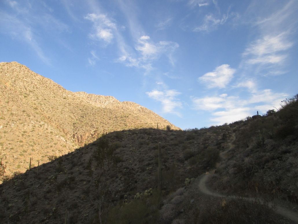
I followed a spur trail from the main entrance ramada, walking east about a quarter mile to a junction with the Gateway Loop Trail. Most people seemed to be turning left here, but I went right, covering about 1.1 miles to the Bell Pass Trail junction. I saw just one other person, an older man who blew right past me like he was some kid or something. For the time being, the hike was level, but the wide trail with few rocks meant I could make good time .... maybe not as fast as the old guy, but good for me.
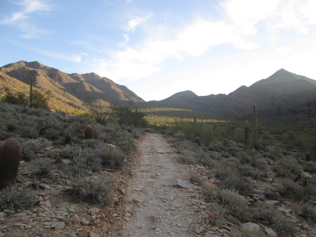
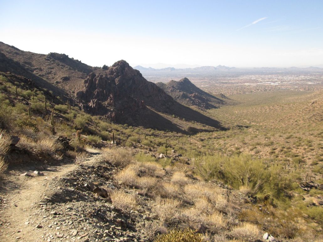
The Bell Pass Trail proceeds east toward Bell Pass, the saddle separating Thompson Peak to the south and McDowell Peak to the north. I kept a steady pace, the going easy down below due to the lenient gradients. However, now in a canyon, the breezes were being funneled into a stiff wind, with 20 or 30 mile-per-hour gusts. Combined with the cool temperatures, it was uncomfortable at times. I was also mostly in shadow, adding to the chill. I just kept moving, not stopping at all.
Toward the pass, the trail steepens. I huffed and puffed upward, and not long before arriving to the pass, that older man was hustling downward. We stopped and chatted briefly. He looked to be about 70. If I can move half that fast when I'm 70, I'll consider that to be a good thing.
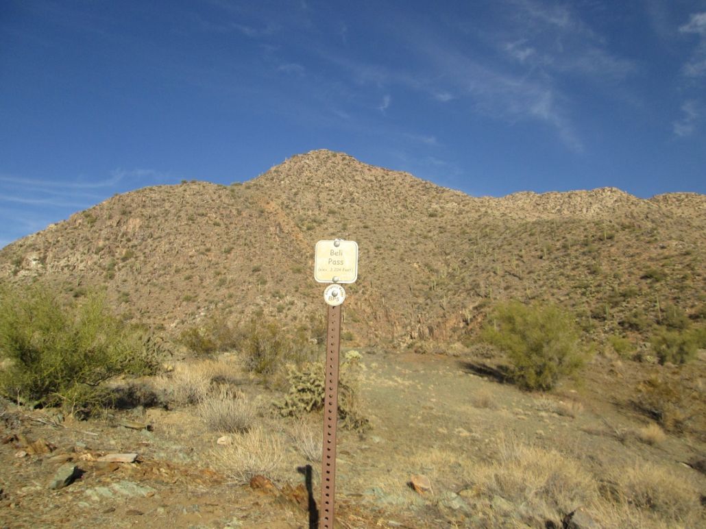
In minutes, I was at Bell Pass, the wind blowing hard, but now I was back in the sun which warmed me slightly. Going by the map at the trailhead, I had covered a little over 3 miles. The summit of McDowell Peak was another 800 feet higher, about three-quarters of a mile to the north. There's a big metal storage container here, probably set there by the McDowell Preserve people to store tools. It is perfect for sitting, so I took a brief break, but not too long since I was antsy to get started up the remaining slopes.
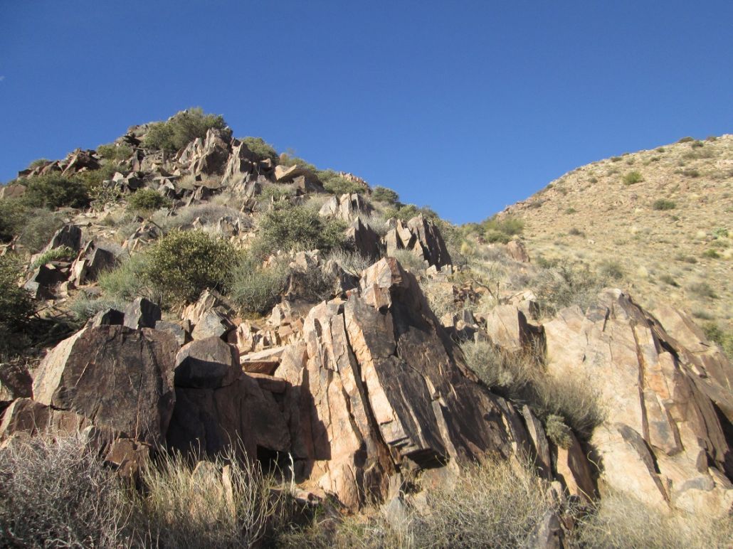
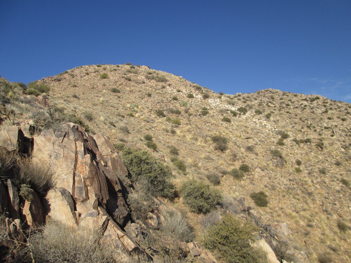
There is no formal trail to the top. I left the main trail and walked along a soft ridge to the first steep slope, and found what appeared to be a scant path. I expected that a handful of people would have hiked to the peak and beaten in such a path. It wasn t much, but it helped. I walked steeply uphill, keeping to the spine of the ridge I was on, going from one rock outcrop to the next. The footing was solid, and the plants were spaced out to usually allow unfettered passage. There was a lot of pencil cholla, for some reason.
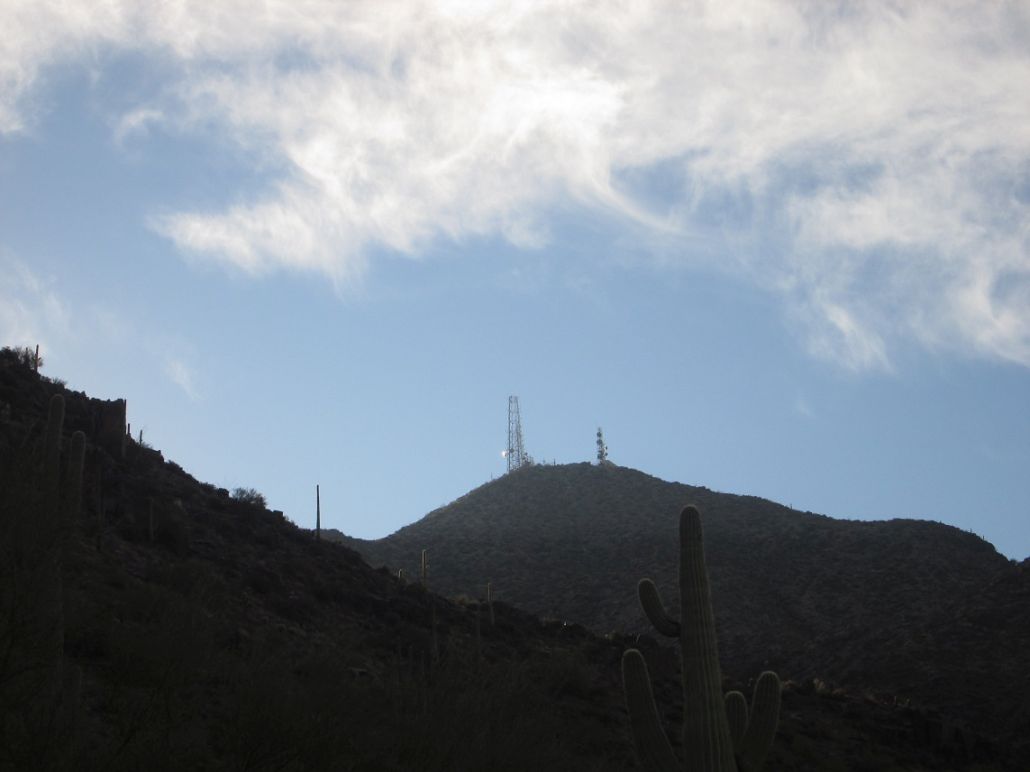
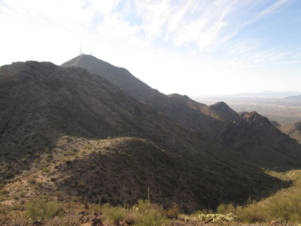
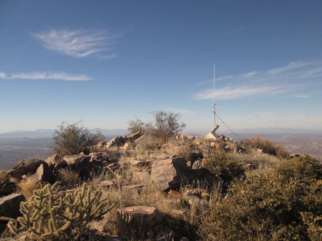
Toward the top, the rock outcrops were bigger, but I was able to find ways around the rocks, only needing to use my hands occasionally. Finally nearing the top-most outcrop, I found a trail that angled right to a saddle below the outcrop, with the summit being on the saddle's other side. The final segment was up this hill, where again I found a scant path. I angled slightly east of the summit to meet a ridge coming in from the east, then turned left up to the top. I arrived here at 10:25, a two-hour, fifteen-minute hike covering about 4 miles. The top hosts a solar-powered antenna-repeater, and nothing else. I tagged the top rocks.
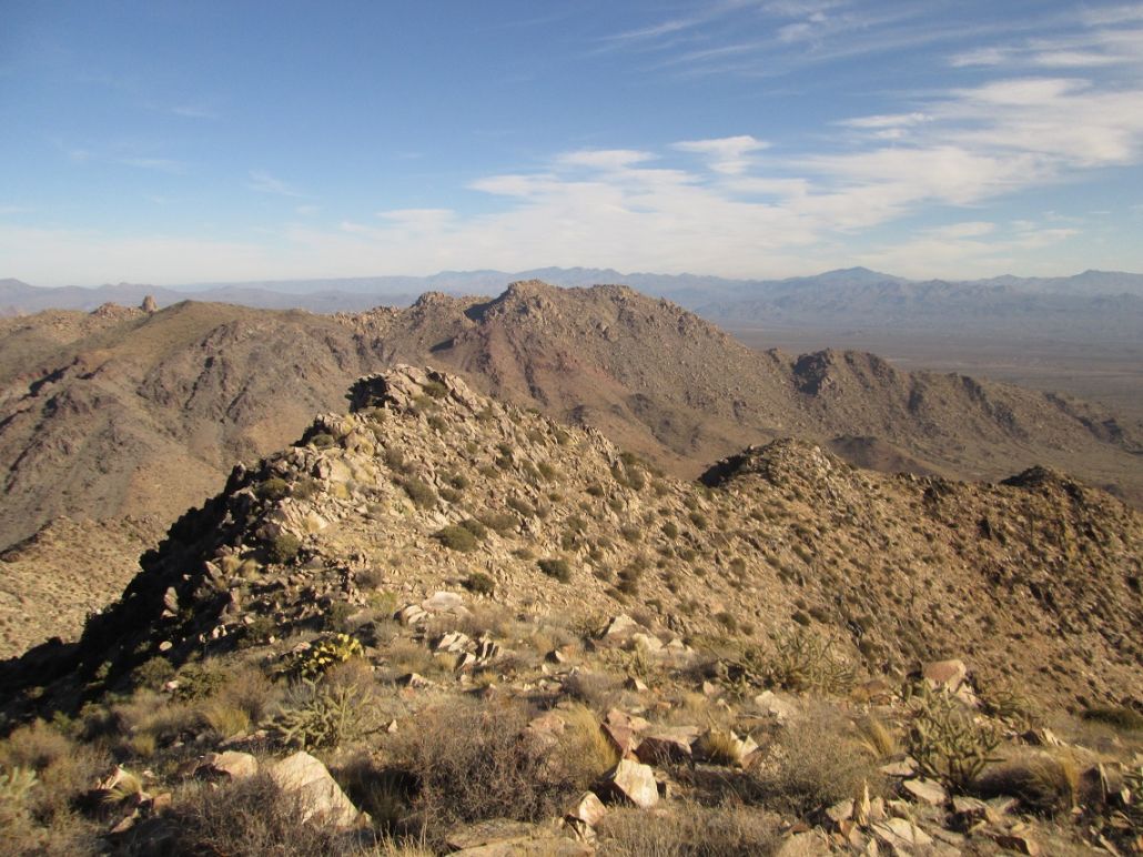
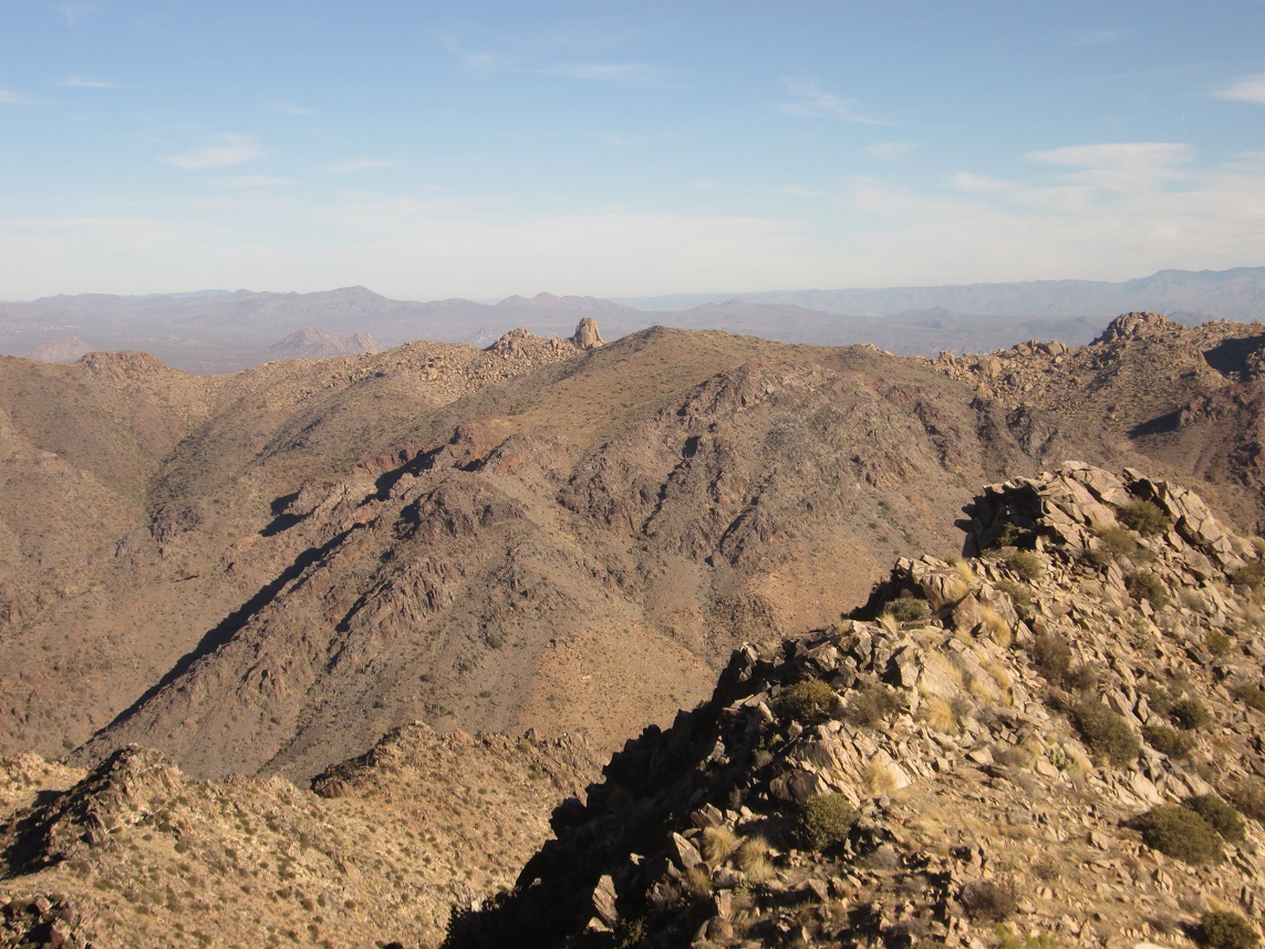
The views were very nice from up here. I snapped images in all directions, and took a ten-minute break to eat and drink. The winds were light but steady, and I became chilled after a while. The winds had cleared out the usual haze over Phoenix, allowing clear views down into the valley below. Immediately west is Drinkwater Peak, named for a former mayor of Scottsdale. I could see East End, and beyond them, the Mazatzals. When the chill set in, I started down.
The segment back to Bell Pass went well, taking advantage of gravity as well as being able to spy ways through the rocks that were invisible to me on the way up. I stepped carefully, and was able to get back to the pass without so much as a single slip. Now on the trail, I made excellent time, even jogging some sections. I encountered people consistently, and when I re-emerged onto the Gateway Loop Trail, it was a virtual freeway of humans. Everyone seemed to have the same idea as me, which was to get out on such a nice day and work off the holiday weight. A few wore colors of the football teams in town for the bowl game.
I was back to the ramada a little before noon, a 90-minute exit and an overall 4-hour hike. I felt great, but tired too. I relaxed awhile at the ramada, psyching myself up for the long four-mile drive back home. I enjoyed the hike up McDowell Peak. It was long enough to work up a sweat, and the last portion was steep and mildly challenging.
Okay, technically, the peak is off limits. The rule in the Preserve is that no off-trail hiking is allowed. I surmised that a few previous lawbreakers had gone to the top, so that if I kept to whatever paths they had put in, I'd be mitigating my effects of being off trail. I know this is a stretch, but bear with me.
The prominence ranges between 994 and 1,014 feet. The contours at the key saddle, which just so happens to be the next one north, are evenly spaced at this saddle which lends some weight to the prominence figure being close to the mean, 1,004 feet. It is strongly likely more than 1,000 feet.
Update: LIDAR data suggests the prominence is 1,002 feet, based on the refined 1-meter datasets.
|

|