The Mountains of Arizona
• www.surgent.net
|
|
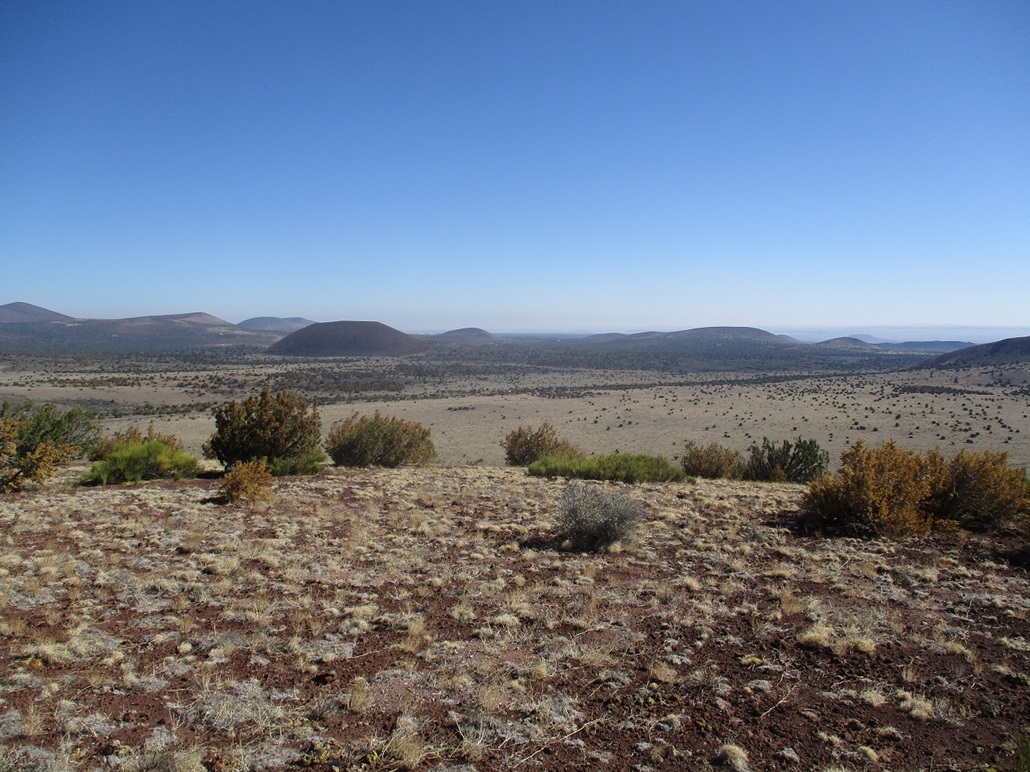
Maroon Crater • Peak 6229 • Peak 6430 Maroon Crater lies in the eastern portion of the San Francisco Volcanic Field, east of Cochrane Hill, a couple miles north of Leupp Road. I was here a year ago, and gave Maroon Crater a look, but I had no maps with me and was guessing on the roads, so I bailed on that meager attempt. I was in Flagstaff for a few days, with a few easy hills and peaks on the daily agenda. Today, I would return to properly climb Maroon Crater, then tack on two more nearby ranked peaks, Peak 6229 and Peak 6430. A heat wave was building over the southwest. Even high elevation areas would get very warm, with highs in the mid-high 90s possible at 6,000 feet. Thus, I was up before dawn, timing my drive so that I arrived just as the sun was rising.
Date: June 11, 2021
• Elevation: 6,414 feet
• Prominence: 434 feet
• Distance: 2.6 miles
• Time: 90 minutes
• Gain: 650 feet
• Conditions: Clear skies and cool for now
Arizona
•
Main
•
PB
•
LoJ
•
Interactive map
From my hotel, it made more sense to get on eastbound Interstate-40 to the Cosnino Road exit, then take that to the Townsend-Winona Road and then onto Leupp Road. Going through Flagstaff proper means lots of stoplights. The interstate route was faster, but the interstate itself is in terrible shape. Here's hoping some of that infrastructure money comes this way to freshen up the asphalt.
From Leupp Road, just north of Junction Crater, I eased onto Coconino Forest Road 244A. The road goes northeast about a mile to a junction with FR-784. The road is an access-way for some private homes farther north, outside the forest boundaries. As such, it's heavily washboarded and a chore to drive. I went slow and even then felt like the car was going to shake apart. Had it been my original car as a teenager, a 1977 Ford F-150 pickup, it probably would have.
I turned onto FR-784 which was much smoother. I went a mile and parked below an uphill grade, tucking my car within a small batch of trees. The uphill grade was not too steep but it had that fine volcanic sandy "regolith", which I feared may make traction difficult. I was a little over a mile away from Maroon Crater, so I was close enough to walk it easily.
I started walking as the sun was still behind the eastern craters such as Merriam and the Shebas. As I trekked up the uphill grade, I caught up to the sun-shadow line. Whereas temperatures had been a comfortable mid-60s when I started, it felt like everything shot up 10 degrees in a matter of minutes once in the sunlight.
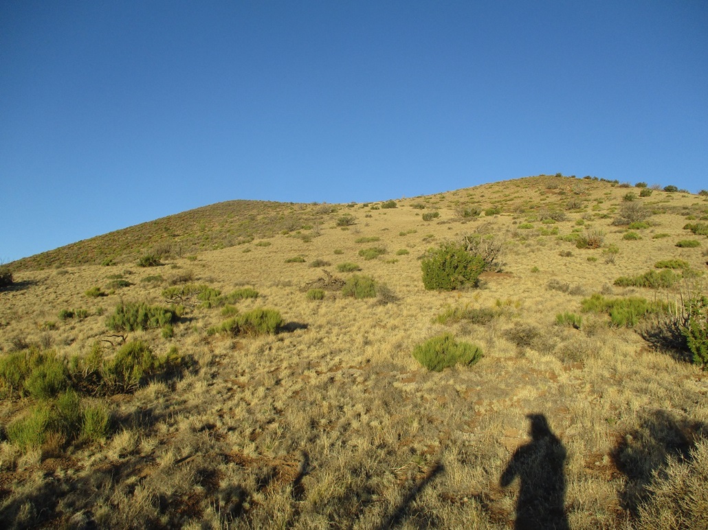
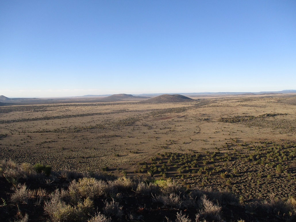
I left the road and started walking cross-country, aiming for a ramp and a low ridge coming off Maroon Crater. This portion was actually the most challenging, as the volcanic sand, even though on generally flat terrain, was loose and hard to hold a footgrip. Each step felt like it took the effort of two steps. I weaved through the brush and trees, adding some distance. I was soon on the low ridge that leads up the ramp to the top.
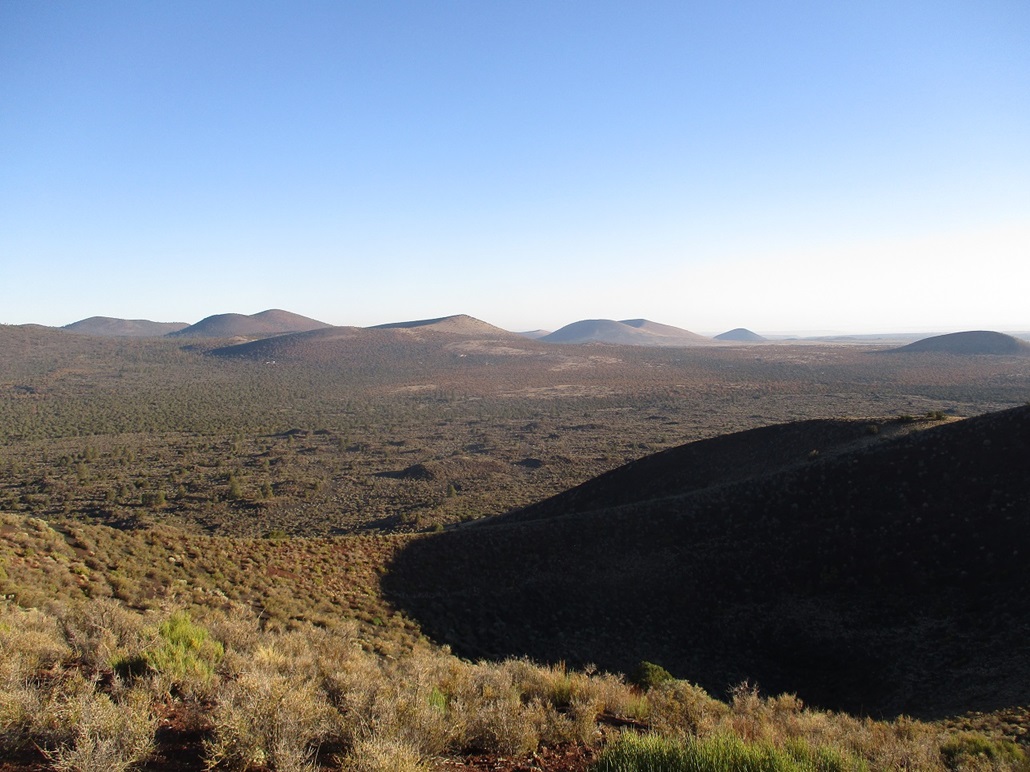
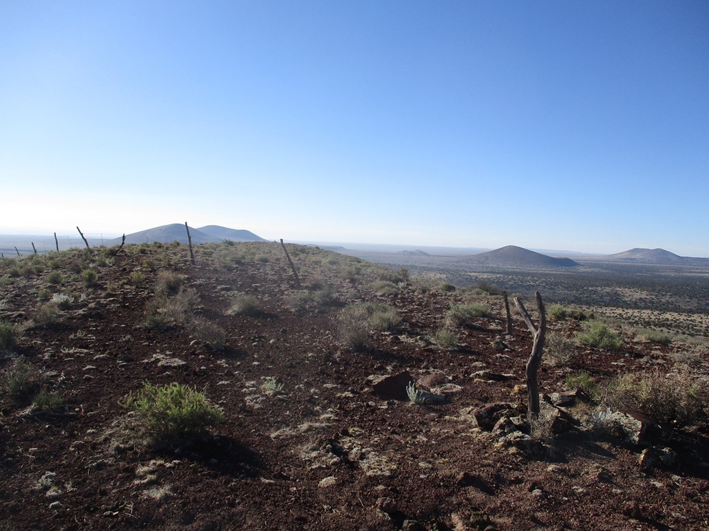
The ramp has to be one of the loveliest ramps I've ever hiked. It kept a consistent grade, had good footing, low brush, and no surprises. In 15 minutes, I was on the top crater rim. The highest point is somewhere along its southern lobe.
I quickly got onto this lobe, now slightly brushier but still easy to walk through. To my eyes, the highest point was at the far west tip of this lobe, but a rock cairn about midway matches where the spot elevation is cited on the maps. Walking the length of this lobe only takes a few minutes and covers all bets for the highest point.
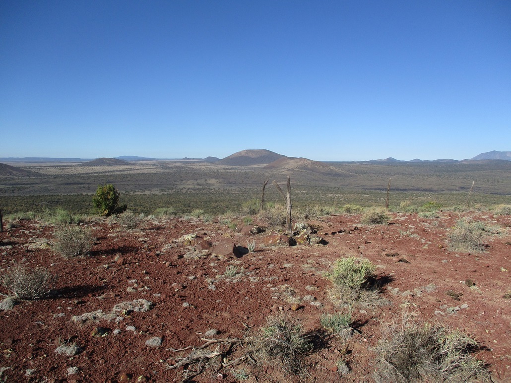
The views were fantastic, with the sun still low for better lighting. The whole sweep of hills and of the giant San Francisco Peaks took up the west and north horizons. Smoke from the Slate Fire could be seen to the northwest. Peaks to the east were glared out by the sun, but for now, the conditions and temperature were perfect and I took my time up top this enjoyable crater.
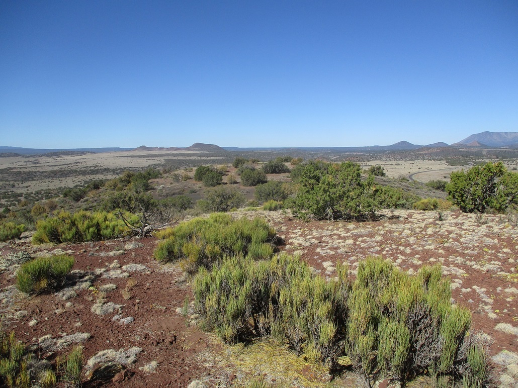
I hiked down the same way, descending that great ramp, then wandering through open lanes to get back onto the road. I was back to my car quickly, the time still early. My next peak was just a couple miles to the northeast. I drove FR-784 back to FR-244A, then north to a lesser road (FR-9149H), which hopefully would put me close to the base of Peak 6229.
Elevation: 6,229 feet
• Prominence: 434 feet
• Distance: 1.6 mile
• Time: 40 minutes
• Gain: 380 feet
• Conditions: Sunny and very lovely
PB
•
LoJ
Forest Road 244H seemed to be a little better north of its junction with FR-784. I covered 1.2 miles, then angled right (northeast) onto FR-9149H. It too was smooth and drivable, and I was able to get almost all the way to its end, which is gated at the forest boundary. Beyond it is a homestead. I parked in a clearing about a hundred feet short of the fence, near the base of the west end of the ridge that comprises this mound.
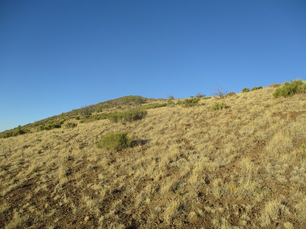
The ground here is covered in fine volcanic rubble which I was used to by now. The trees here were mostly shorter pinon and junipers, spaced out so that navigation was easy. Tire tracks were everywhere. If it's wide enough for a truck or ATV, someone's been here to drive it.
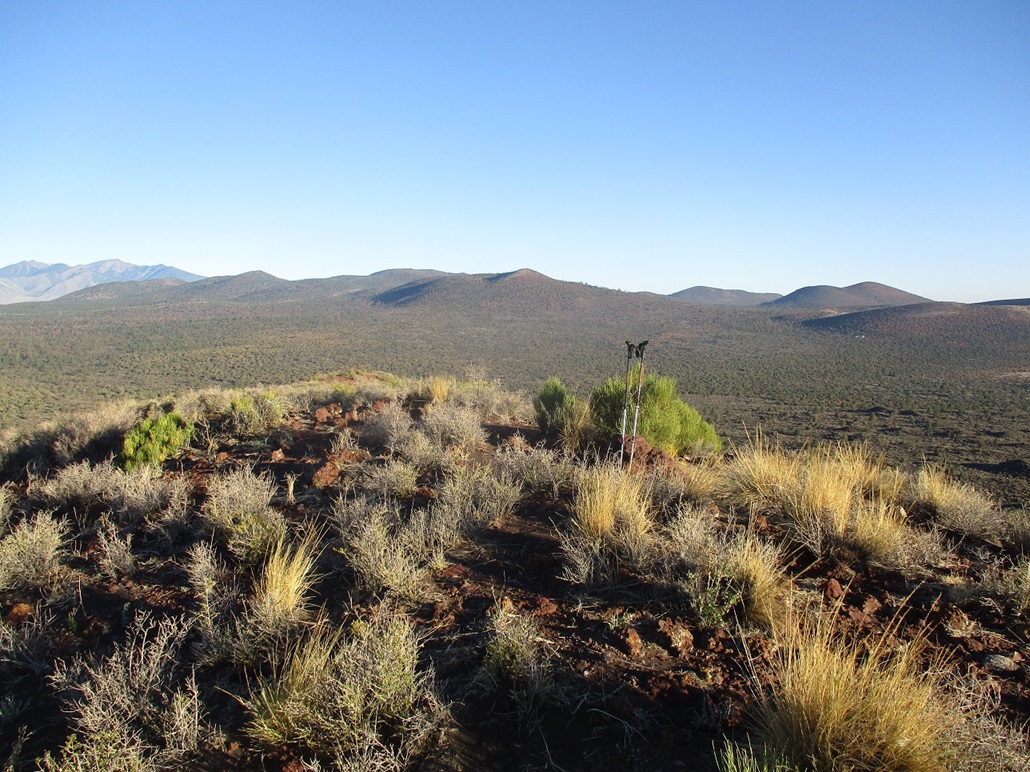
I walked on a northeastern tack, uphill, approaching the boundary fence asymptotically. My plan was to get as high as possible on this side of the fence, then cross it when necessary. After gaining about 150 feet, I eased over the barb wire and started uphill, now covered in low scrub and grass. This put me on the main ridge, and soon, I was on top the broad summit.
I found a small rock cairn at the summit, and also a wooden stump propped up nearby. The fence also runs over the top to where the highpoint is barely back on forest land. Crossing the fence here was trivial, the strands loose enough to push down easily.
The one-way hike took just 15 minutes, and I spent about 10 minutes up top, hiking a little farther east to check out an overlook, then back to the top. Going down, I stayed on the forest side of the fence and generally paralleled the fence as I descended. At one point, my foot went through the dirt, evidently I stepped on a burrow and its roof caved in. I nearly hyper-extended the ligaments in my right knee and it was painful at first, but walking it, it was evident there was no damage, which was a relief.
I was back to my car after 15 minutes, a round-trip hike of just 40 minutes. I drove back to Leupp Road, and drove west toward the third hill of the morning.
Elevation: 6,430 feet (6,427 feet per LIDAR)
• Prominence: 293 feet (per LIDAR)
• Distance: 0.8 mile
• Time: 40 minutes
• Gain: 350 feet
• Conditions: Sunny and warming up
PB
•
LoJ
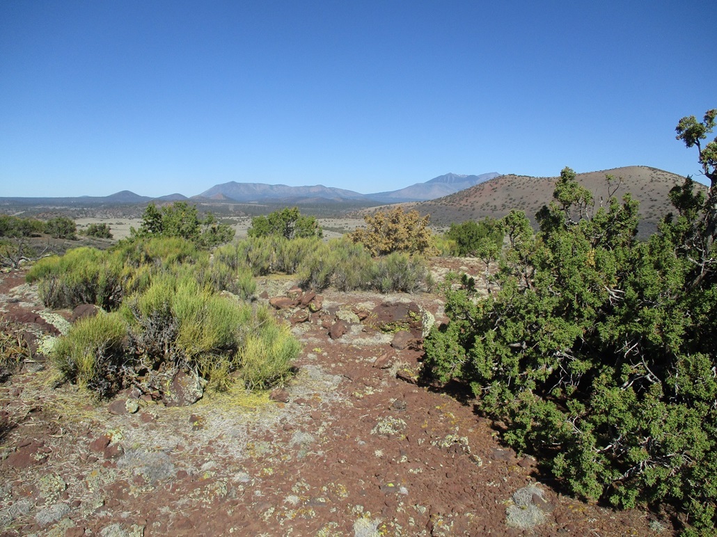
Peak 6430 (6,427 feet per theLIDAR data) lies directly across the highway from Cochrane Hill, where the road makes a jog through the low pass connecting the two hills. I found a dirt road paralleling a gas line and drove it, losing about 40 feet, but placing me in a batch of shade trees out of sight from the main road.
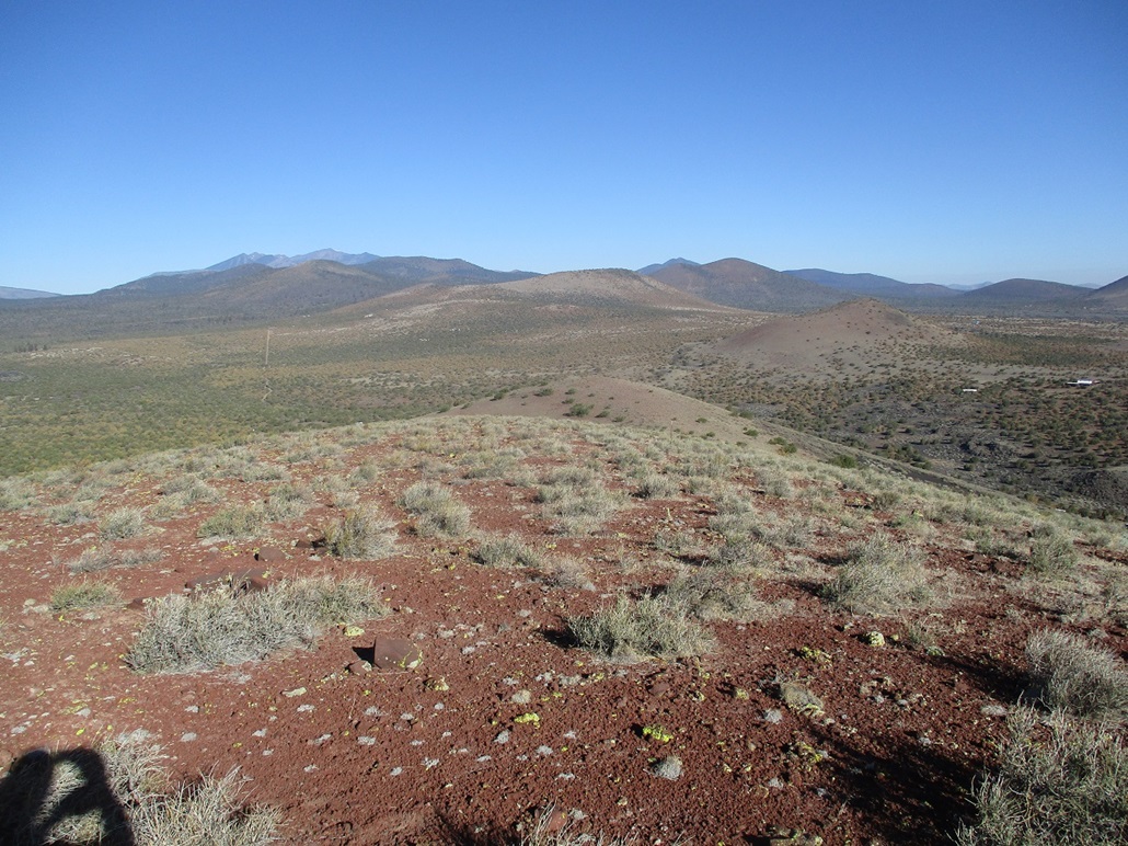
The hike up went very fast as I was right there, no approach hike needed. I was on slopes immediately. It was the usual volcanic rubble and scattered low brush. I was quickly at the saddle that connects the two hilltops that comprise the top of Peak 6430. The western one has a spot elevation of 6,416 feet. I went to it. It was just a bare hump of rock and rubble, and a couple low trees.
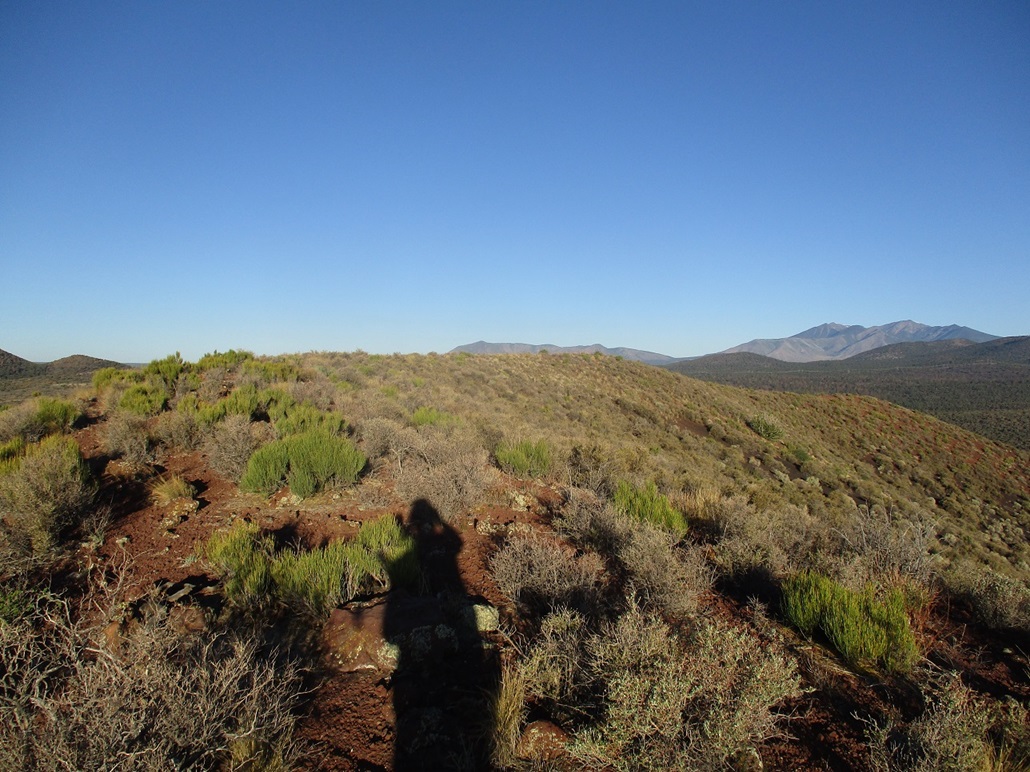
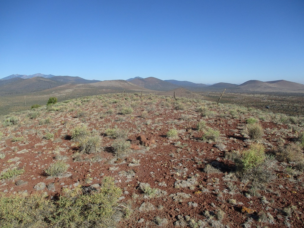
Across the way is the higher hilltop, extrapolated to 6,430 feet. I hiked down the saddle, then up this hill and walked around its top. A rock pile is at the summit, and it's a little brushier, but open enough for excellent views of the surrounding plateau and volcanic mounds.
The col connecting Peak 6430 to Cochrane Hill lies between 6,120 and 6,140 feet, but the 6,140-foot contours are closer suggesting the col's elevation is nearer 6,140 feet (we'll call it 6,135 feet). The summit elevation of 6,430 feet is just an extrapolation, using the half-a-contour rule (spaced 20 feet, thus adding 10 feet to the 6,420-foot contour). Under this scheme, the prominence of this hill is probably a shade under 300 feet. However, by visual inspection, I felt that the east summit rose quite high, possibly closer to 6,440 feet. I won't call it that much, but I'd say the prominence may be close to 300 feet, making this hill a ranked summit by the barest of margins. Update Using the LIDAR data, I have adjusted the figures above, so you can ignore the long-winded paragraph you just read.
I hiked down to my car, by now temperatures into the low 80s, even though it was still early. I was pleased with the three-hill haul. I had plans for more hiking today, but I would wait until later as the sun was setting. I went back to my hotel room, then a few hours later, drove west to hike Government Mountain.
|


|