The Mountains of Arizona
• www.surgent.net
|
| Joe's Canyon Peak • Peak 6606 |
• Huachuca Mountains • Coronado National Memorial • Cochise County |
|
Date: December 3, 2023
• Elevation: 6,606 feet
• Prominence: 359 feet
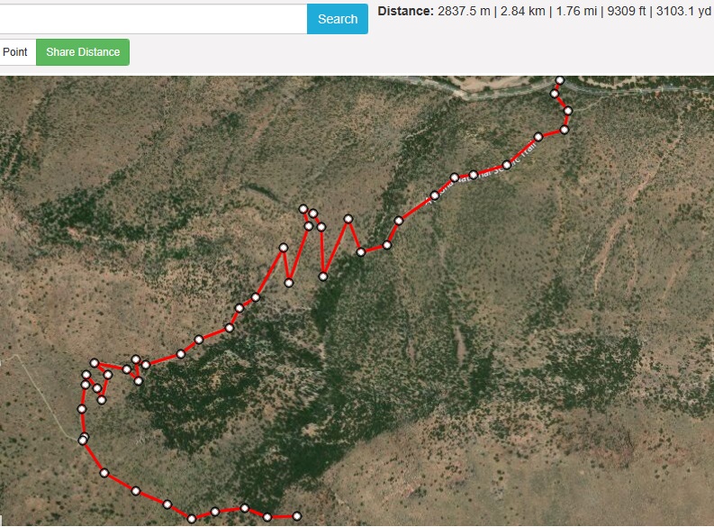
• Distance: 3.6 miles
• Time: 2 hours, 15 minutes
• Gain: 1,360 feet
• Conditions: Gorgeous blue skies, cool temperatures, nary a breeze
Arizona
•
Main
•
PB
•
LoJ
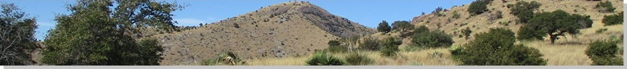
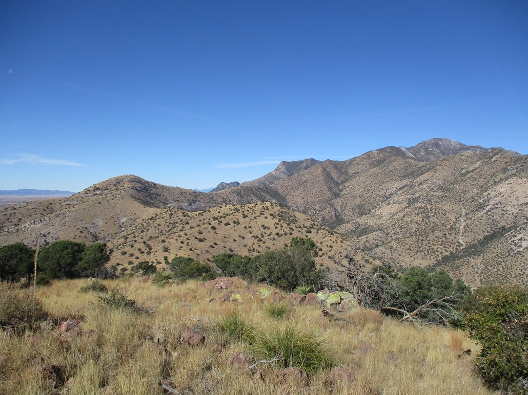
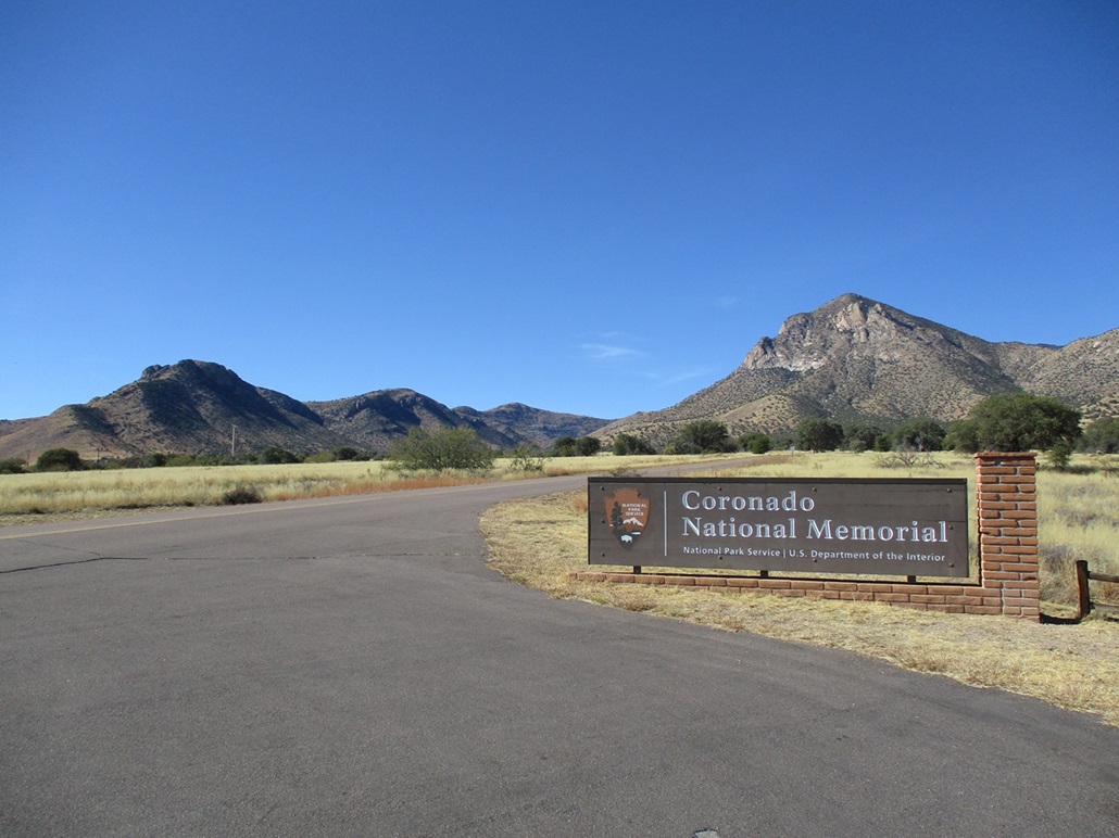
This is Peak 6606, a bump on the end of a ridge emanating southeast from Coronado Peak, at the south end of the Huachucas. This ridge and some of the surrounding land is contained within the Coronado National Memorial, commemmorating the Spaniard Coronado's initial entry into what is today Arizona, back in 1540. His expedition numbered in the hundreds and was the first large-scale European exploration of what is today the southwestern United States.
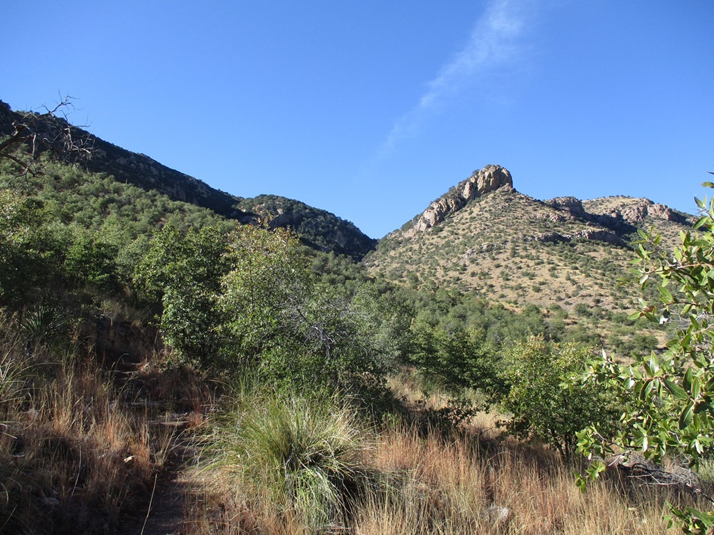
The peak is accessed by a fantastic trail called the Joe's Canyon Trail, which heads up Joe's Canyon and onto the high ridge above. Peak 6606 stands above the canyon and trail to one's left when ascending. The summit lies less than a quarter mile from the Mexican border, and would be my "closest" border peak. However, between the border and the peak is about 600 vertical feet of very steep slope and cliffs, so border crossers would not be much of a concern although at points nearby, crossing over would not be difficult. I call the peak "Joe's Canyon Peak" on this page.
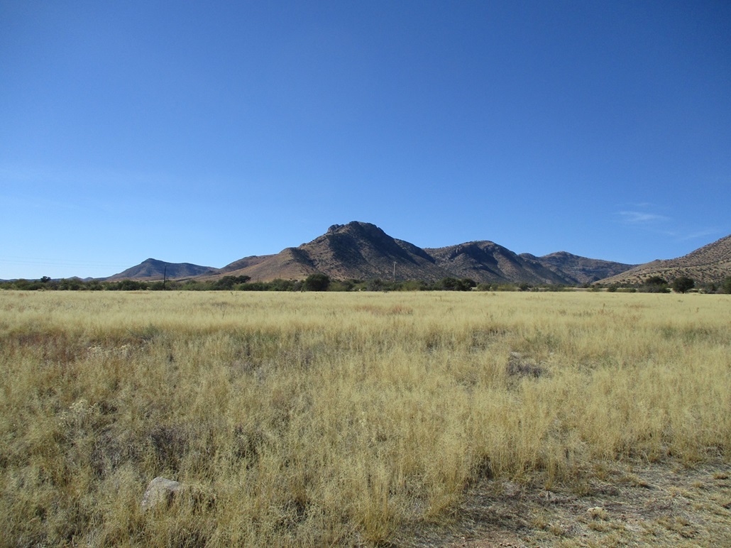
I needed to run errands in Sierra Vista, and blended the hike into an errand-run. From Bisbee to the Coronado Memorial via state route AZ-92, it's about 30 miles, which goes fast. I was at the trailhead near the Visitor's Center a little after 10 a.m.. The day was stunning: crisp blue skies, no clouds, humidity in the single percents, and no wind. It had rained just a few days ago, but those clouds were long gone. When I rolled in, it was cool outside, in the high 40s. I parked in the small lot at the Visitor's Center, the actual tralhead being about a hundred feet away where a side road leads to some picnic tables. I went light: a butt pack, my poles and camera, and a sweater, and was walking a shade after 10 a.m..
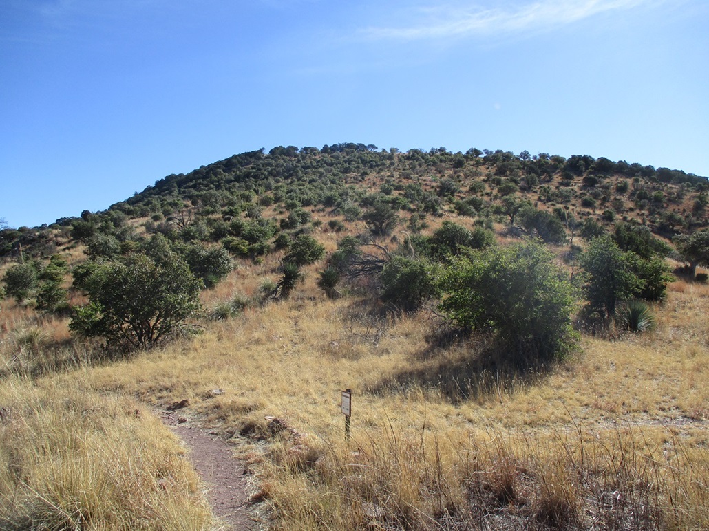
The trail is obvious and extremely well built, with rocks lining the sides and other rocks formed into steps to mitigate erosion. It heads up and to the left, then makes a hard right at what I think was the original trail's routing. The peak rose up and to my left, covered in forest. Up ahead was a slanted cliff, which hemmed in Joe's Canyon, which for now was in the shadows.
I kept a steady pace, and where the trail then starts some switchbacks below this slanted cliff, I heard some voices ahead, then momentarily came upon two women also hiking up the trail. They were stopped for a break, so I stopped too and we had a nice five-minute chat. They were super friendly and knowledgeable. I then continued upward.
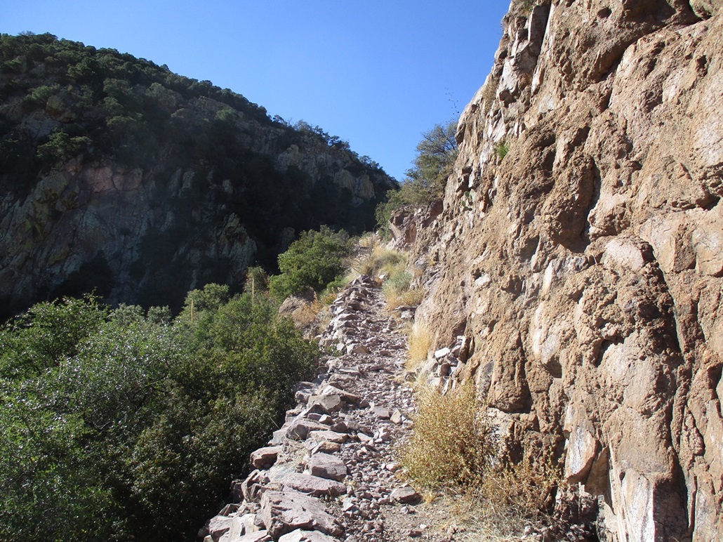
The trail meets the base of this slanted cliff and for a couple switchbacks, is hewed into the rock itself, which no doubt required some dynamite to put in back in the day. The trail is expertly built, and some of the turns have retaining walls and shoring that stand about 6 feet tall and run for about twenty feet. Some people had a very good reason to build in such a beefy trail. Perhaps to access old mines? I don't know.
After the couple turns below the cliff, the trail makes a soft right and is now in the upper canyon, which lies back with a much gentler gradient, and the ridge now visible up ahead. The setting moon, about 40% full (waning), had positioned itself exactly above the lowpoint of the ridge as I viewed it. I took a photo. It never comes out as impressive as seeing it in person.
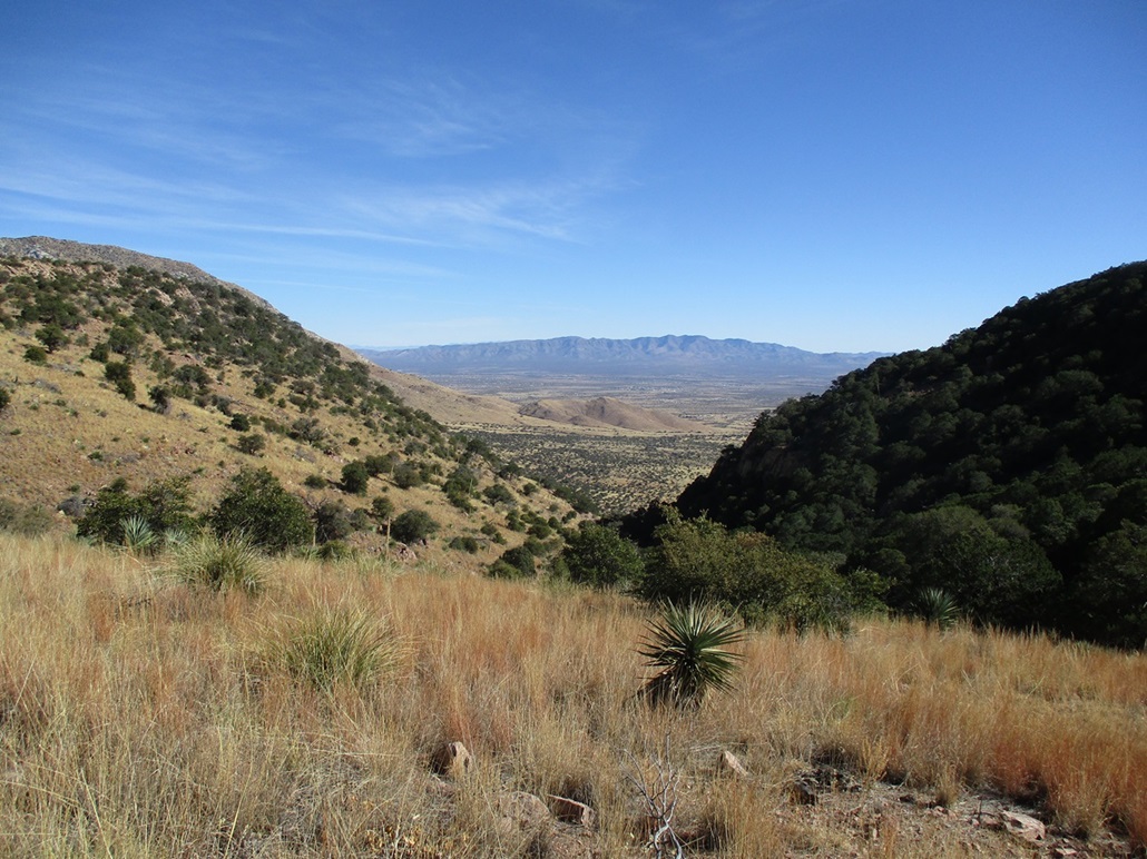
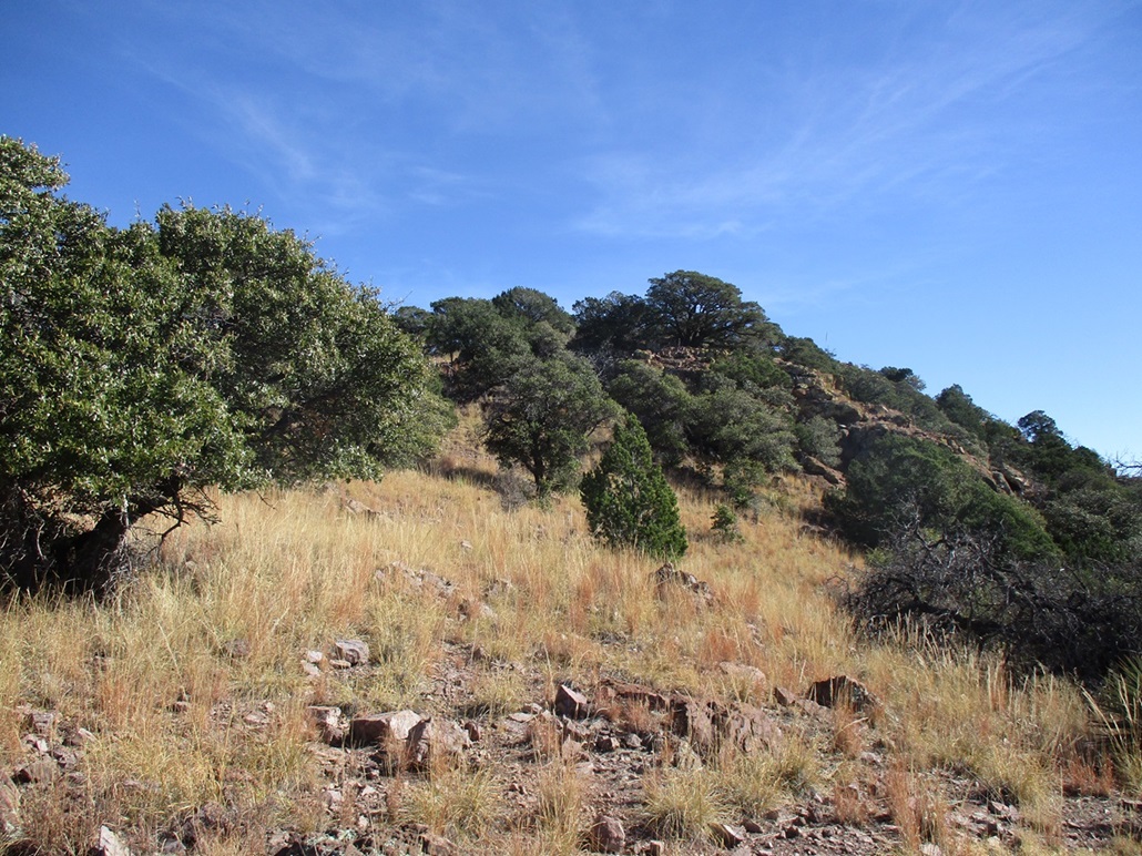
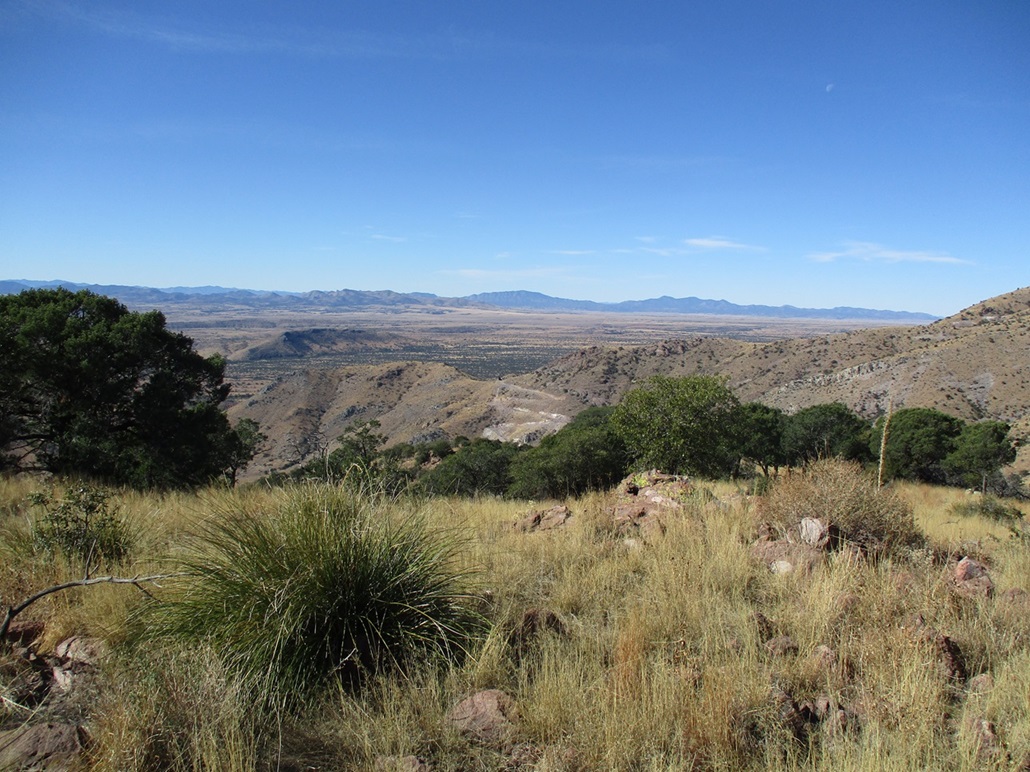
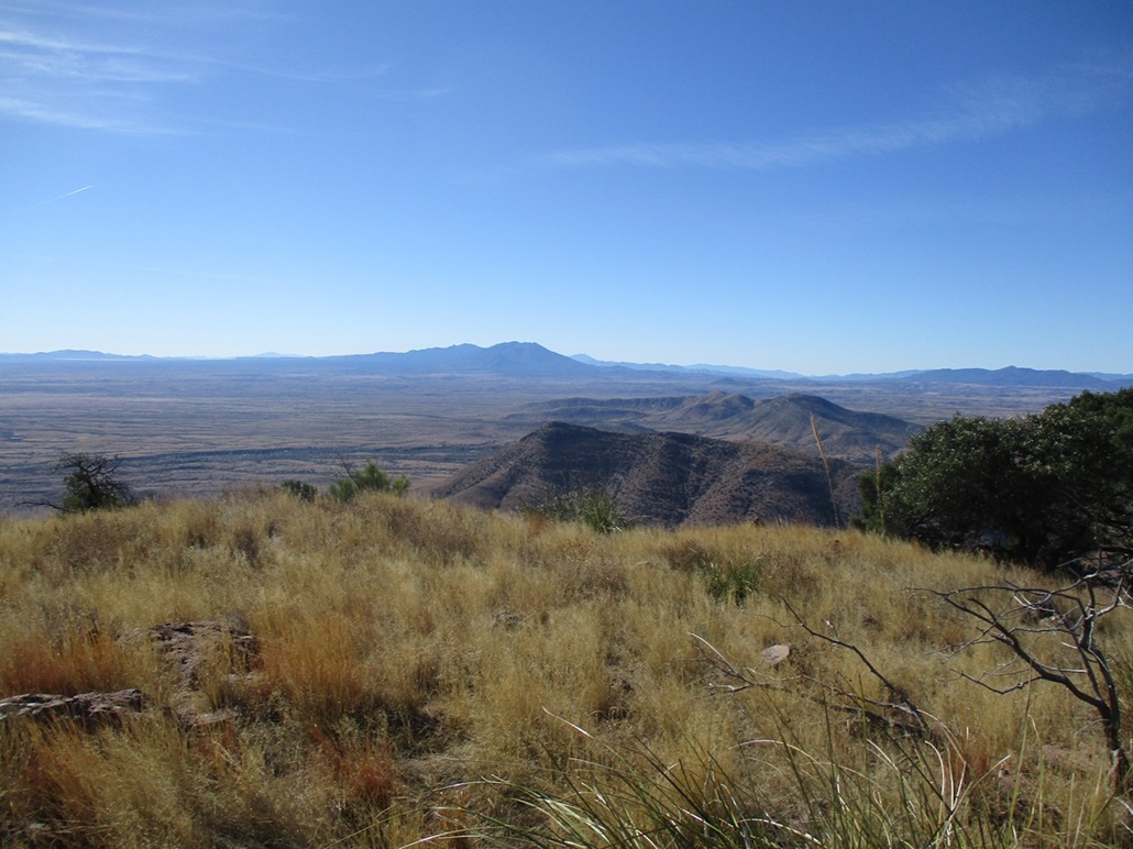
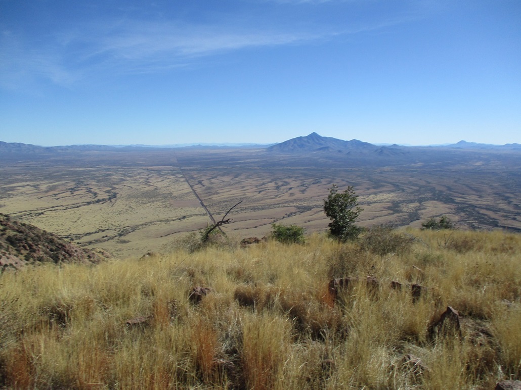
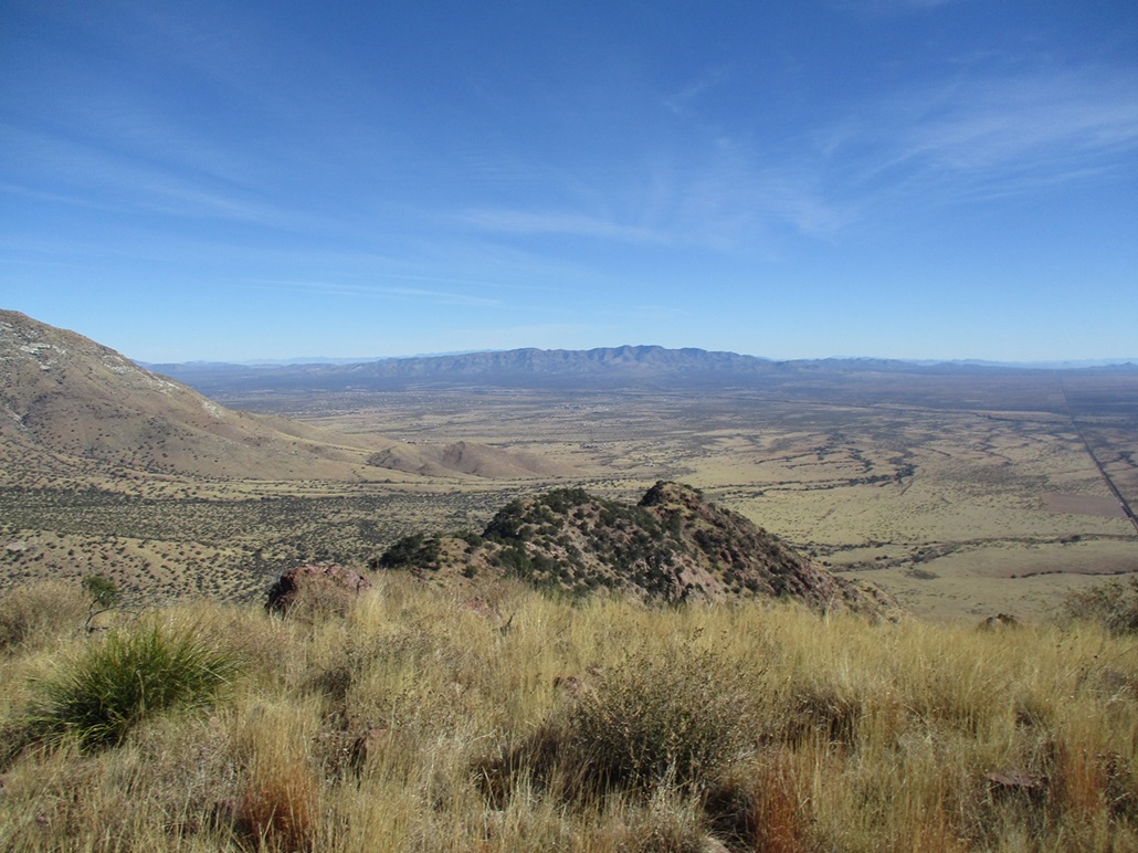
I was soon at the high ridge, a lovely park of low grass and scattered trees. I could see Coronado Peak partly hidden up the way, and looking south, hills and ridges inside Mexico. The border wall takes a break here for about a mile. Ugly roads built in to build the wall are still present, though. I could see one end of the wall in a saddle west of me.
There is no formal trail to the summit, but a well-beaten use path begins at the saddle and is easy to follow for about 90% of the way. This segment went fast and was easy. The trail got steep once and in a few spots was loose. I was on top the open summit at 11:20 a.m., an 80-minute ascent. The top is grassy with rocks. I sat on one and took a break. I could not find a register. The views were fantastic in all directions, with such low humidity, everything stood out in detail.
To the north was Miller Peak, to the west as Mount Washington and its range highpoint, Cerro San Antonio, which lies inside Mexico. To the east was Cerro San Jose, and the border wall cutting through the desert. The Mule Mountains rose to the northeast. On the far distant peaks, I could make out a little snow on their summits. I spent about fifteen minutes on top. I also walked to the south edge to look down on the border wall, but the ground sloped away steeply and I didn't want to chance anything, so I backed off.
I hiked down the same way, snapping more images along the way. I met another couple of ladies on their way up just below the ridge, then down lower, a couple more hikers. This was it for the humans. It was not crowded at all. I was back to my car at about 12:15 p.m., about an hour-long descent. I was able to keep a good pace on the fine trail. I changed, then went into the Visitor's Center to look around and donate a couple dollars (they do not collect an entry fee). From here, I ran my errands in Sierra Vista then drove back to Bisbee.
I thoroughly enjoyed this hike and the trail. The views were superb and the trail itself easy and fun to hike. It apparently is never crowded. I strongly recommend this trail and the peak. One could also tag Coronado Peak and make a big loop hike out of it.
|


|