
The Mountains of Arizona
• www.surgent.net
|
| Humboldt Mountain & Sears-Kay Ruins |
• Verde River Valley • Tonto National Forest • Maricopa County |
|
Date: October 19, 2014
• Elevation: 5,204 feet
• Prominence: 724 feet
• Distance: 3 miles
• Time: 90 minutes
• Gain: 830 feet
• Conditions: High clouds and cool
Arizona
•
Main
•
PB
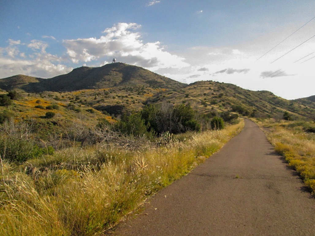
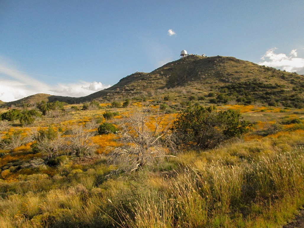
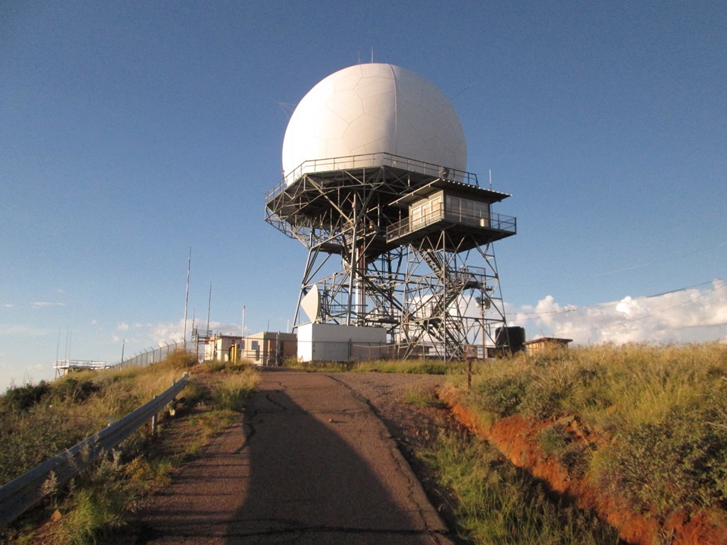
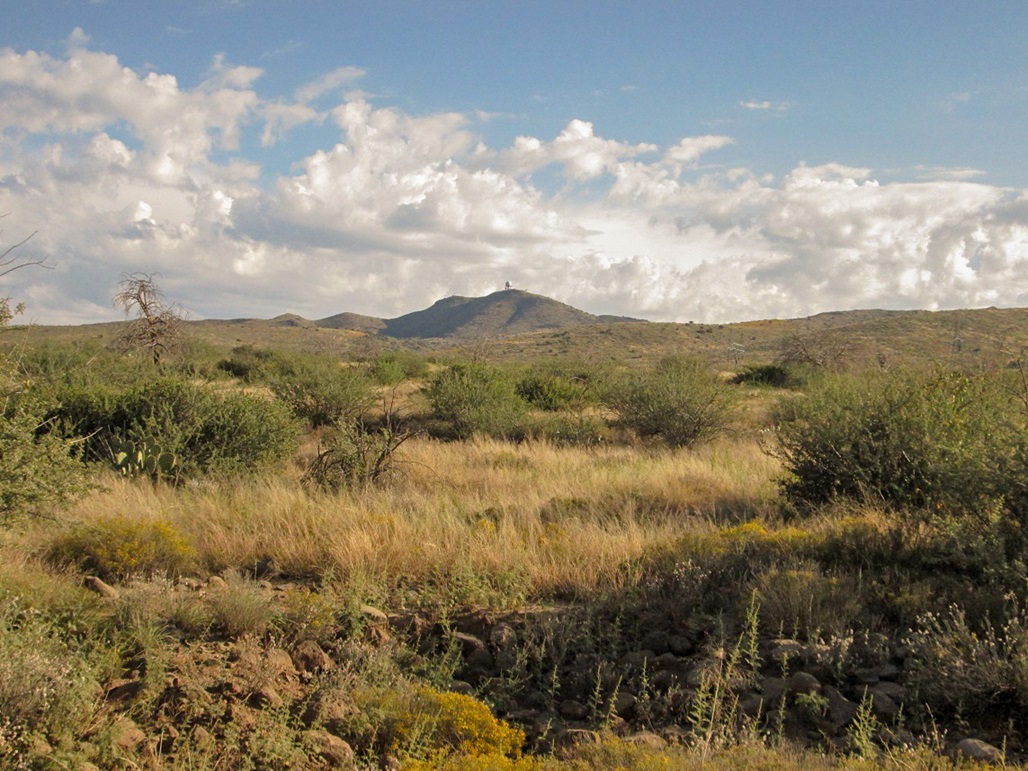
Humboldt Mountain rises above the Verde River nearby the Horseshoe Dam and Reservoir, about 40 miles northeast of Phoenix. A giant FAA "golf ball" radar dome sits atop the summit. This giant structure makes identifying the peak from a distance very easy. Access is not restricted, as a narrow paved road goes all the way to the summit, although only people with proper authority can enter past the locked gates and fencing that surround the dome. The rest of us can be content with excellent views in all directions.
For years, when flying into or out of Phoenix, most planes will follow a lane that takes it over these mountains and often, I can pick out this big golf-ball dome as a way to orient myself with the features on the ground. Once I see the dome, I can then track our position as we descend into Phoenix. Also, the dome is always lit up at night, and it can be seen from quite a distance away, although foreground mountains will block it from some vantage points lower down.
I drove the road up Humboldt Mountain many years ago, around 2001. I remember because my truck was brand new. I was driving northbound up Tonto National Forest Road 24, the main route into these hills, with my mom who was visiting me. I saw the side road leading up to the structure and on a whim, drove up this road. It gets steep and narrow as it hugs the slopes and my mom got kind of spooked, so I attempted a 15-point U-turn to orient my truck downhill. In the process, I backed into a rock and gave the rear bumper a dent. I still have the truck and it still has that dent. On that trip, I did not go all the way to the top. I remember walking up the road to a saddle below the summit and a smaller summit to the east, then back to where I stashed the truck with my mom in it.
Two weeks ago, I hiked Quien Sabe Peak, and had brought along a map of Humboldt Mountain just in case I had enough energy and interest to tack this peak on afterwards. However, I was pretty beat after that hike, and I had also given my left ankle a twist, so I decided to not chance things and simply drove home afterwards. Now, a couple weeks later, I was looking for a peak to hike and decided to come back for this one. It would be easy, and in deference to my still-slightly-weak ankle, a chance to give it a workout on smoother terrain.
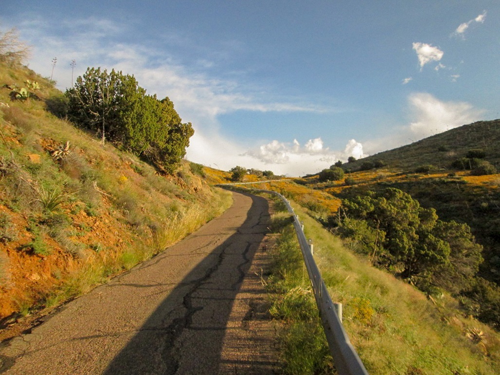
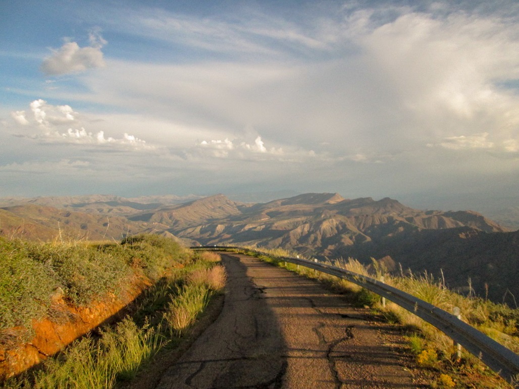
I left our place in Scottsdale at 5:30 a.m. and drove north along Pima Road to Cave Creek Road, then northeast to where it splits with Bartlett Dam Road, then north along FR-24 about 9.5 miles (going by the mileage signs) to the turn off with Forest Road 562, which leads to Humboldt Mountain's top. Although FR-24 is graded dirt road after a certain point, FR-562 is paved, but narrow. The pavement is about as basic as can be: it appears to be nothing more than a layer of asphalt laid atop the dirt. It's chunky and rough most of the way. It still forces one to go slowly. I drove up, gaining about 700 feet, and parked atop a small knoll, elevation about 4,380 feet.
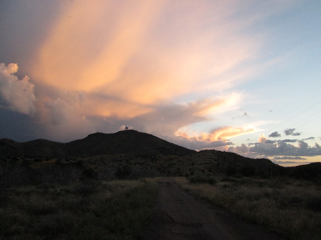
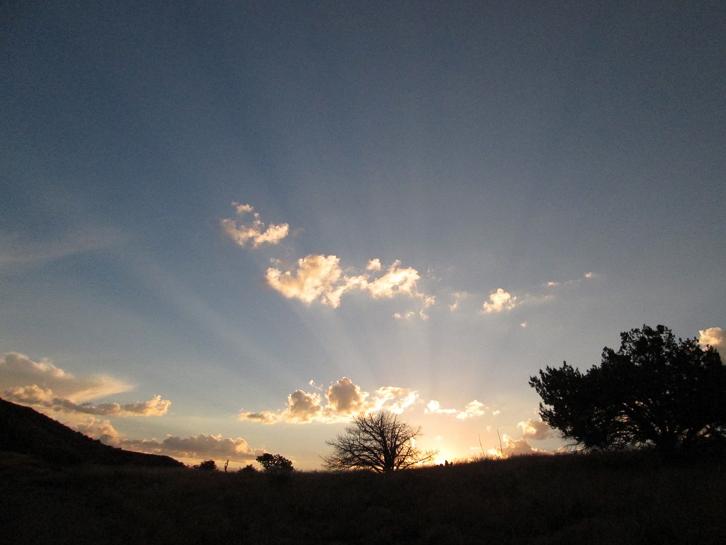
I rolled in about 6:25 a.m., the sky still mostly dark. A rogue thunderhead had formed over the peak during the night and I could see lightning at times as I drove toward it. The bright lights of the structure reflected off the clouds, too. I parked near a small gravel pile and waited a few minutes. The weather was cool and dry, the thunderhead clearing out before my eyes. As the sun rose, it backlit the clouds with beautiful effects. The insects were out in abundance as I walked around the area. There were a lot of bees, and I thought there may be a hive nearby, but they cleared out after awhile and I didn't sense any need to move. I got my pack on and locked the truck, walking at 6:40 a.m.
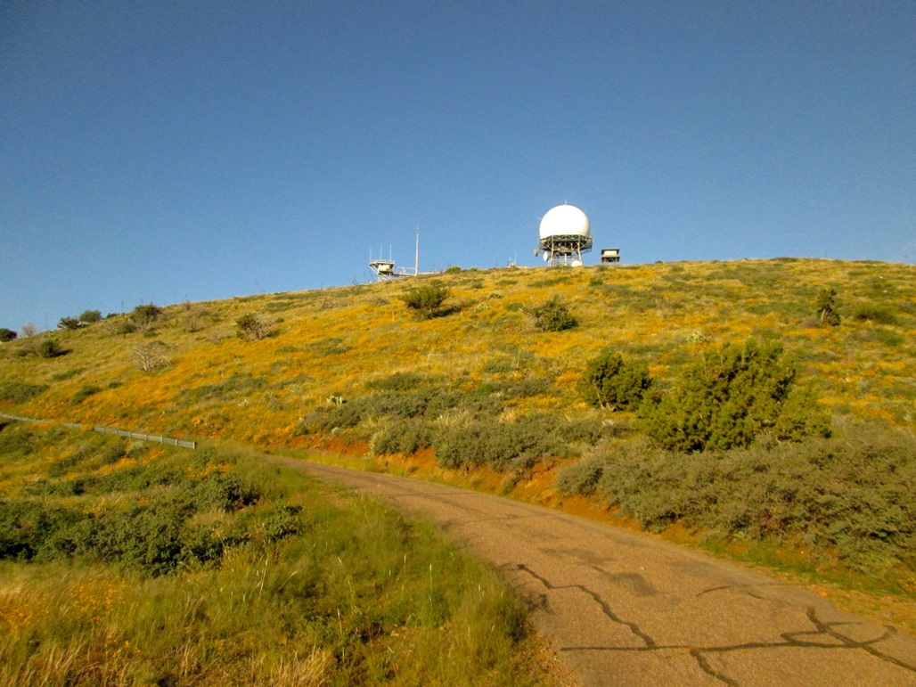
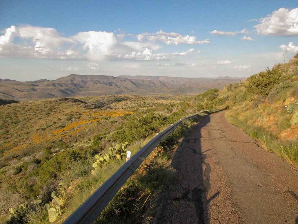
I simply followed the road to the top. I had parked about one and a half miles short of the top, about 830 feet lower down. The road's gradient was easy for walking and I made good time. The hills were covered in yellow and red wildflowers and the whole area was very green from recent rains. I arrived to the summit area at 7:30 a.m. The structure dominated the top, surrounded by fencing with razor wire and closed-circuit cameras. No one was here apparently, there being no cars. A Forest Service lookout was uninhabited.
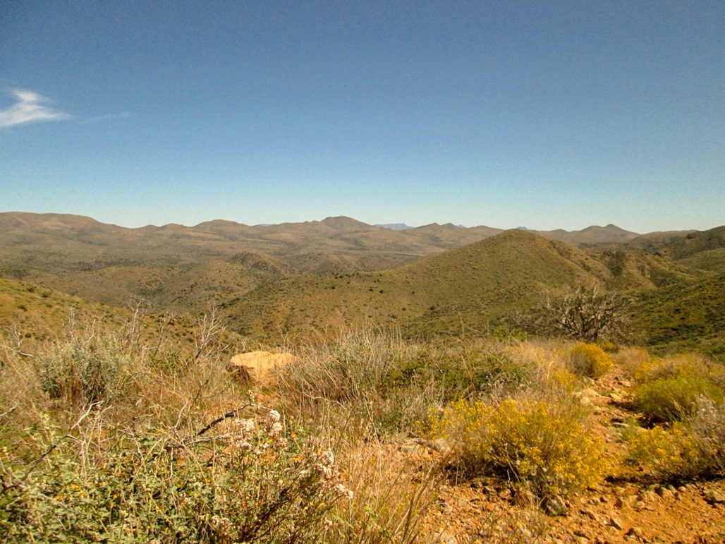
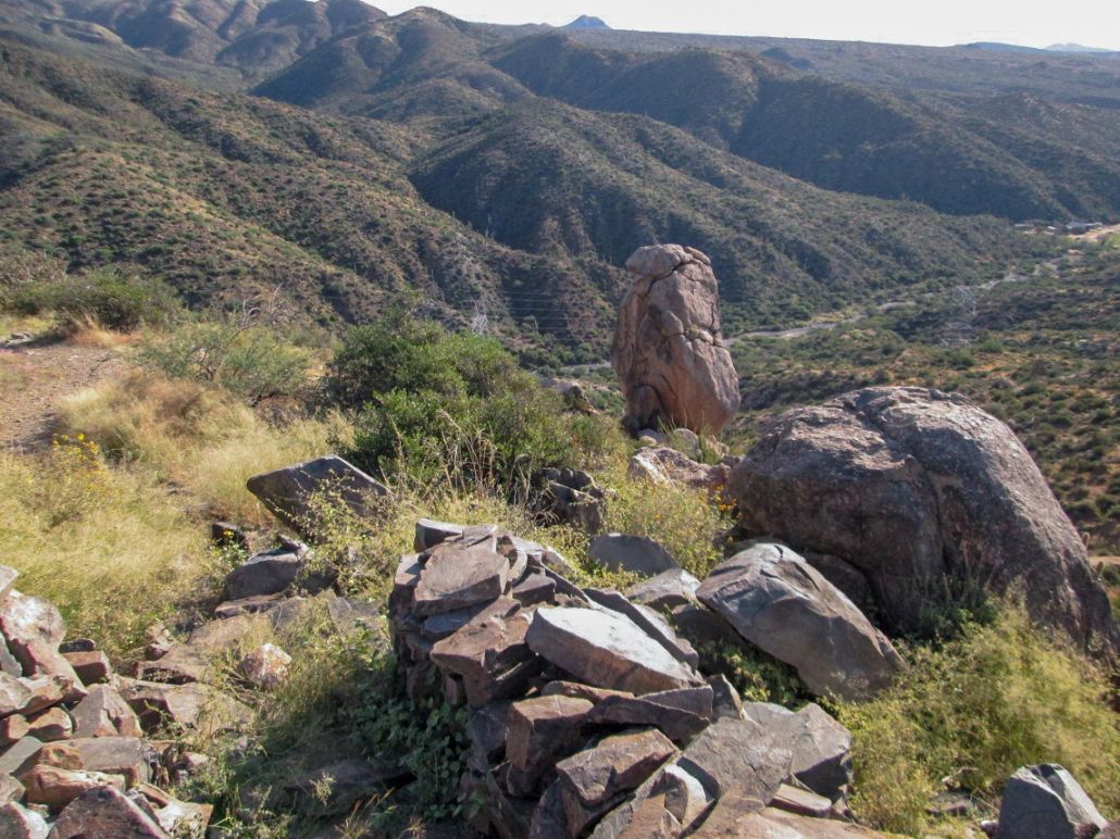
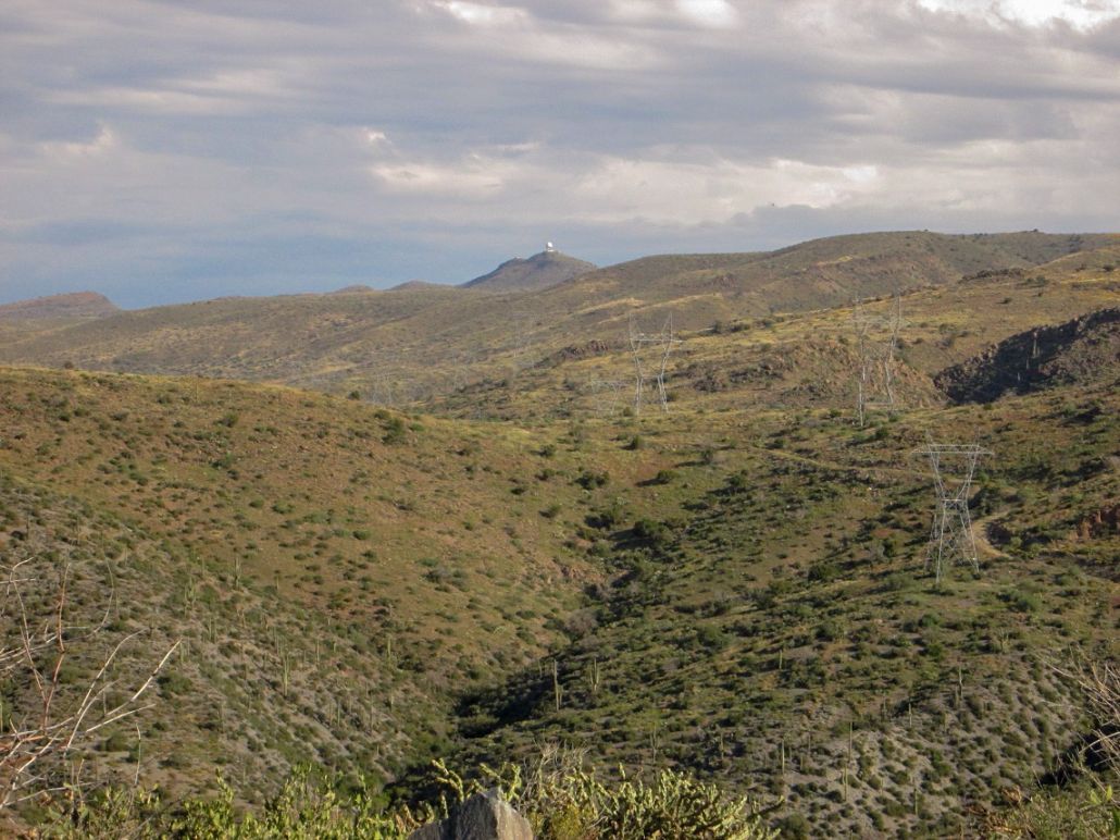
The top was graded flat to accommodate the structures, so I walked the perimeter, following some path, to points along the fence that seemed about as high as anything inside the fencing. I spent about 15 minutes walking the area, and also snapping a few photos. The views were excellent: the Four Peaks were backlit by the rising sun, and the Verde River reflected the sunlight from below. I could make out all sorts of nearby peaks, including Quien Sabe Peak as well as the Cedar Mountain pairs to the north.
The hike down took me just over a half hour. As I hiked down, a guy on a motorcycle that looked more like a scooter was coming up, then behind him a passenger vehicle. Maybe these guys work up here. I was back to my truck a little after 8:00 a.m. I drove down FR-562 back to FR-24, and south back toward civilization.
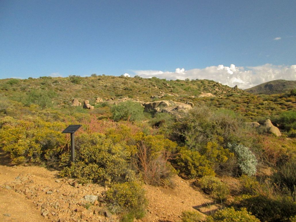
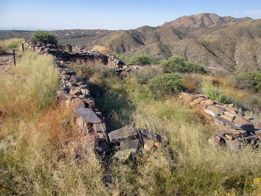
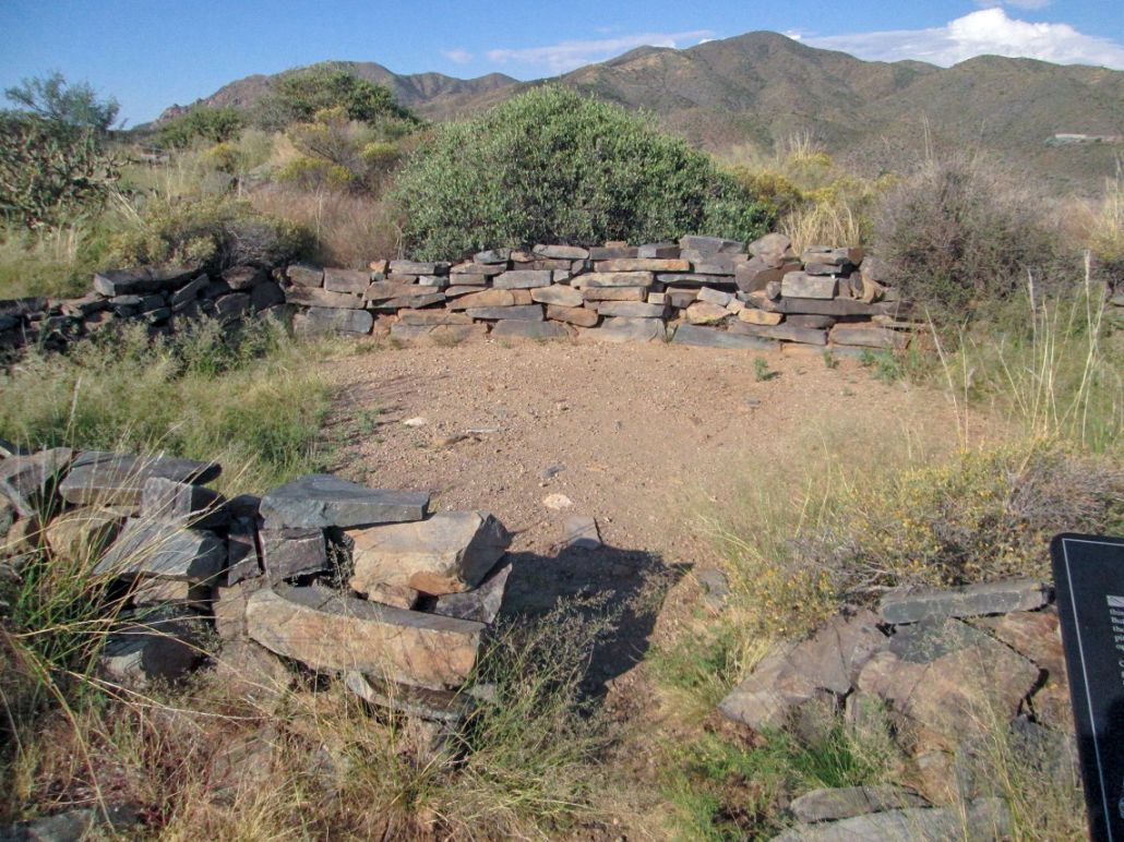
I decided to make a detour and pulled into the Sears-Kay Ruins parking lot. I have heard of these ruins but had never visited them until today. These ruins date from about 1100 A.D., put in by the old Hohokam Indians. I parked and walked up a trail for about a half mile, gaining about 120 feet, to top out on the ridge.
The ruins run along the ridge and there are information signs at points along the way, explaining the history. Mostly, the ruins are low stone walls about 18 inches high. You can still see some evidence of masonry in spots. There were apparently about 40 rooms when this village was at its peak, way back then. I tagged the summit rock, for what it was worth, and was amused to see the FAA dome atop Humboldt peak from atop this ridge. I spent about a half hour on this excursion, which was worth it, once.
From here, I drove home, arriving a little before 10 a.m.. Not bad for a half-morning's work!
|

|