The Mountains of Arizona
• www.surgent.net
|
| Horseshoe Peak |
• Agua Fria National Monument • Bureau of Land Management • Yavapai County |
|
Date: November 27, 2021
• Elevation: 4,232 feet
• Prominence: 432 feet
• Distance: 2.5 miles
• Time: 1 hour, 35 minutes
• Gain: 890 feet (gross)
• Conditions: Sunny and mild
Arizona
•
Main
•
PB
•
LoJ
•
USGS BM Datasheet
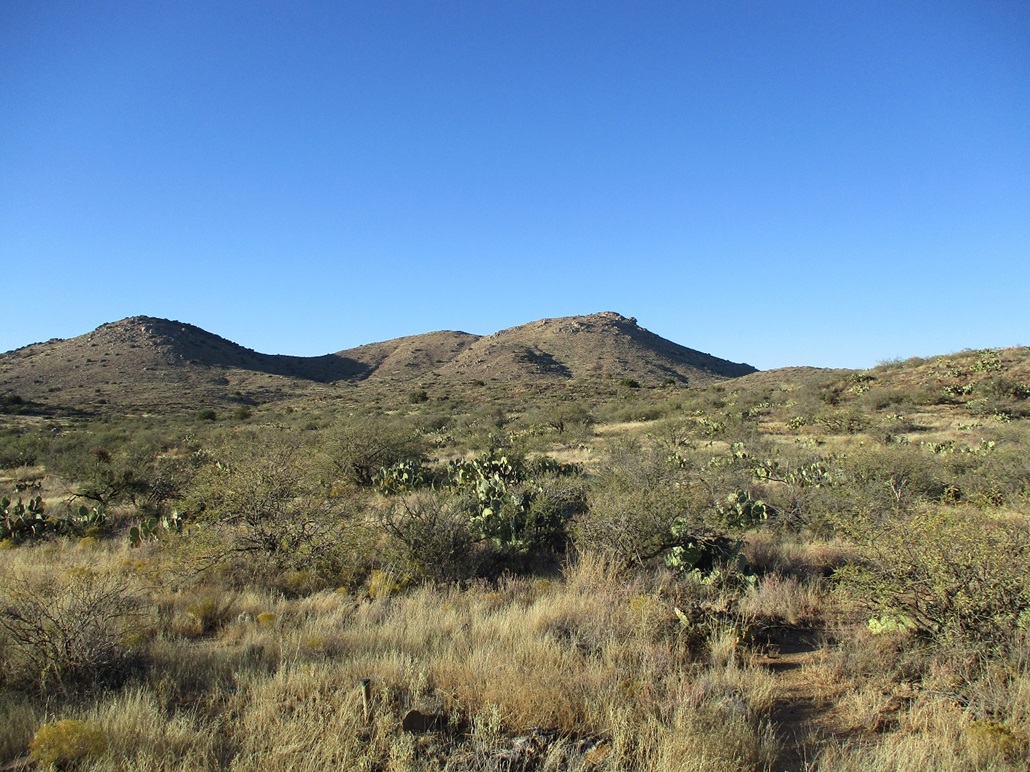
Horseshoe Peak, or Horseshoe Benchmark, rises a couple miles east of Interstate-17 at the Bloody Basin exit, on the Agua Fria National Monument. I was in Flagstaff for the Thanksgiving Holiday, and was driving back to the Phoenix area, this being a Saturday to avoid the traffic surely to develop as people head home after the holiday.
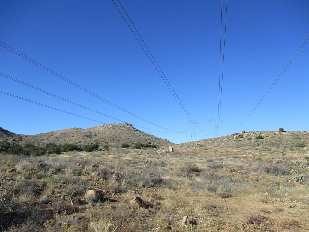
I left Flagstaff about 1 p.m., heading southbound on Interstate-17. ABout 80 miles later, I exited onto Bloody Basin Road. The road goes about 300 feet to a large staging area. There were about a half-dozen vehicles here with toy haulers, the toys somewhere in the hinterlands right about now. The National Monument boundary is here, and the pavement ends, but the road is in fine shape for a few more miles. I went 3.5 miles, easing onto a lesser track that leads downhill to power lines. I drove in about a hundred feet and parked in a clearing with a fire pit. I was off the main road, which is really what I wanted.
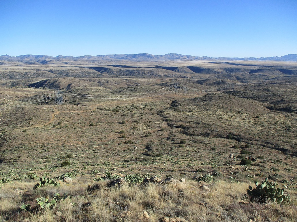
I got dressed properly and locked the car, hiking at 2:20 p.m.. It was a pleasnt day, temperatures about 70°, sunny and clear, with no breeze. Humidity was low, not a cloud from horizon to horizon. I walked downhill along this track, losing about 80 feet. The track then gets underneath the powerlines, then runs underneath them uphill, the peak of interest about a mile away. The power lines crackled with moving electrons.
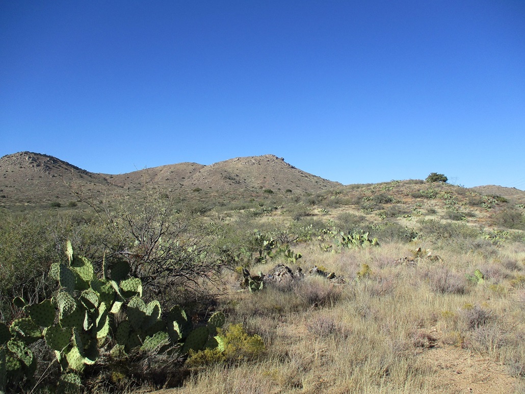
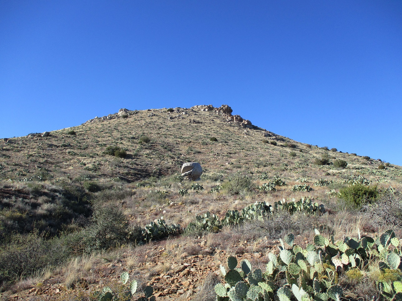
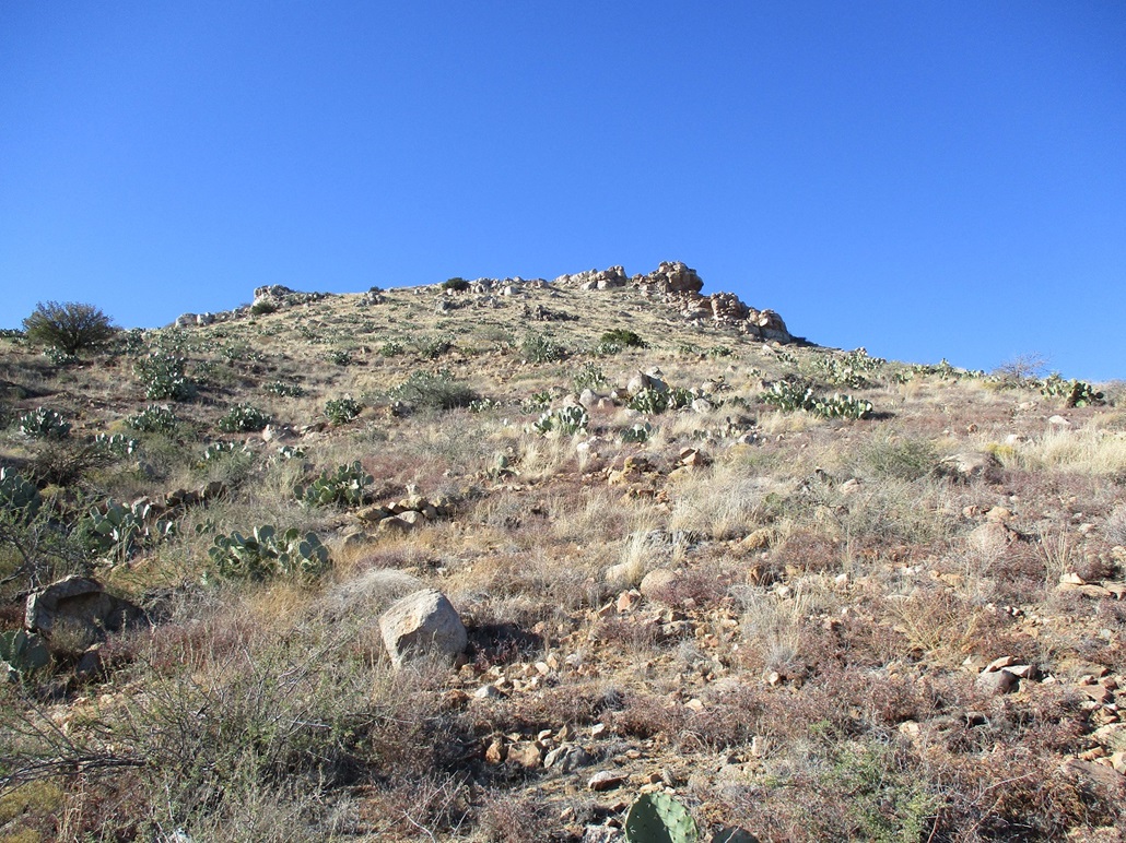
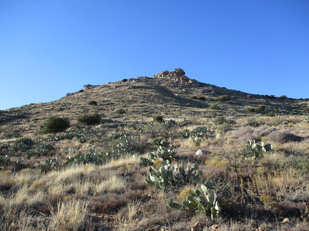
In about 20 minutes, I had covered this stretch of road, now southeast of the peak. It looked friendly, the top appearing to have a few rock outcops, and random large rock extrusions and heaps on the slopes below. I exited the track and walked through the grass and scrub. Although this is not snake season, they can still be out, and if so, they tend to be out and about later in the day, so I kept an eye on the ground.
I was soon on the slopes, and I moved uphill, the gradient lenient and easy to manage. The brush was spread out and the rocks mostly solid in place, although a few rolled. I generally angled left and weaved through a few of the lower rock extrusions, achieving the main ridge quickly, a 400-foot gain from where I left the road.
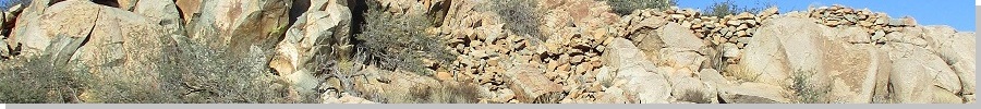
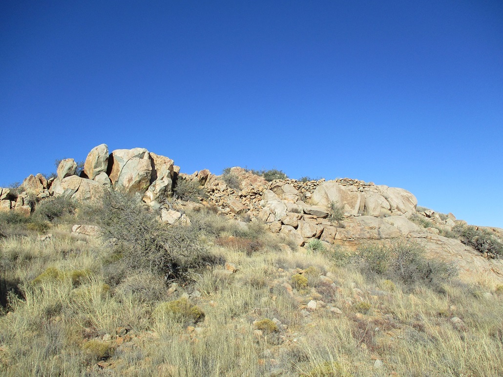
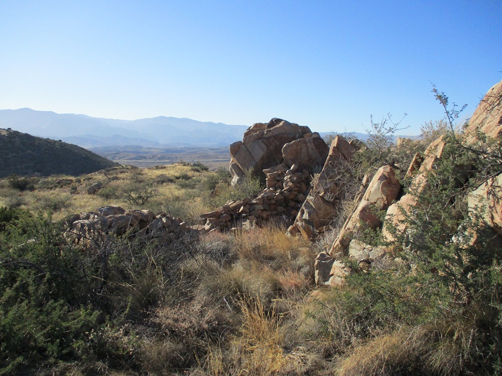
Once on the ridge, I turned right and walked up gentle slope until I could see the rocky summit. Much to my surprise, I also saw stone walls. I wasn't expecting this. I walked until I was at the base of the summit rocks. The summt rocks are a spine of rocks about 8 feet high running on a north-south alignment for about a hundred feet. The rock walls encircle the summit rocks, the walls generally about 3 to 5 feet high. These weren't expertly fitted stones like on some ruins I've seen. Rather, the walls were loose heaps of stone. It was quite interesting, and I suspected that these weren't old living quarters, but instead a simple fortification as a lookout used by the ancient Indians.
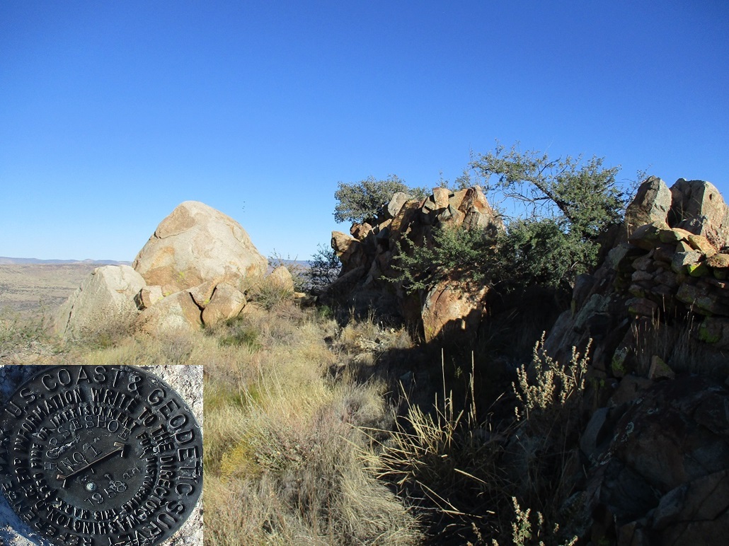
I walked to the highest rock and scaled the loose lower boulders, and tagged the highest rock. It was too precarious to stand upon, but I was able to touch it with my butt. It has a lovely convex shape perfect for sitting, so I took a break here. A large boulder about ten feet away held a marker. When I inspected it, it was a reference marker, pointing to the Horseshoe Benchmark. But I could not find the actual benchmark. I stuck around for about ten minutes.
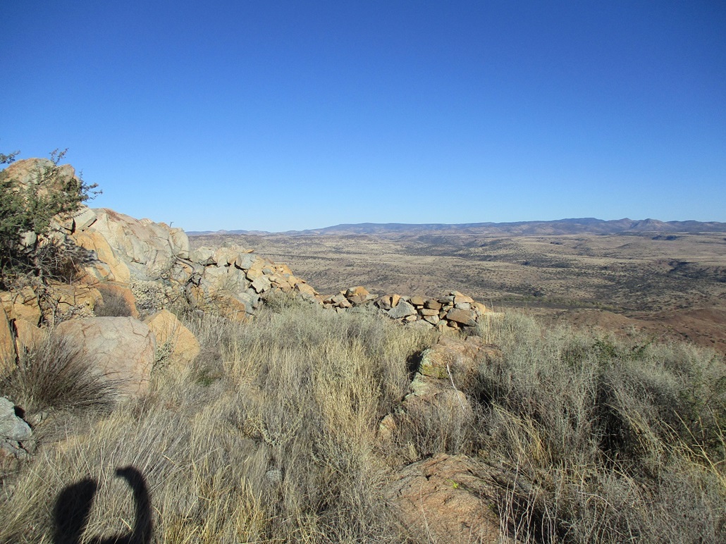
I eased down off the rocks on the opposite side and looked at these low walls some more. The amateur archaeologist inside me tried to glean the history here, what purpose it served, and if any artifacts were lying on the ground. I was more amused just to see the walls, a pleasant surprise that I wasn't expecting.
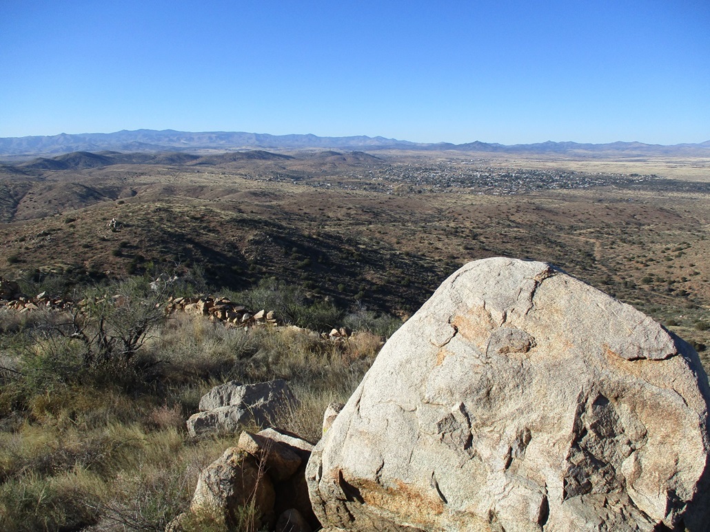
The hike down went well, following the same route. By now, the sun was sinking and I had lovely lighting for better photographs of the mountain, with more shade to delineate ridges. I was back to my car at 4 p.m. on the nose. I changed back into driving duds and exited back onto the Interstate. The drive home actually was pretty mellow, traffic not a problem, even on the Sunset Grade that drops into Black Canyon City, where the traffic can get ugly with speeders and the like. I was home by 6ish.
The hike had gone well and I was happy to get it done. I looked up "Horseshoe Agua Fria" on the web and found one academic paper dated from about ten years ago which you can read here. Turns out I was mostly right with my guesses --- it was a lookout, nothing more, and the fortifications were just an extra layer of protection. It appears it wasn't Indian-on-Indian, but more for watching and observing United States military patrols, the peak part of a signalling network of peaks to quickly relay observations to the important people who needed to know these things.
|

|