The Mountains of Arizona
www.surgent.net |
|
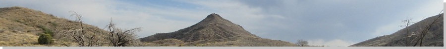
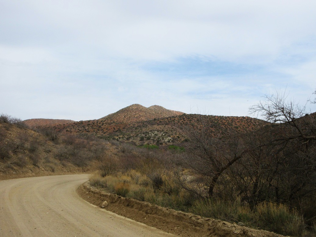
Peak 4655 • Peak 4161 Today was the Wednesday between classes so I left the Phoenix metro borg and headed east into the hills towards Globe. I was going to camp somewhere along highway AZ-188, as I had three peaks planned along this route. It was past 9 p.m. when I was in the area. In the dark, I found the old Shute Springs Road branching off the highway, and followed it. It's now a forest-maintained road, dirt and hardpack, and mostly in good shape. I was last on it in 2018 when Matthias and I climbed Salt River Peak. I got in about a mile and parked in a clearing with a level platform, perfect to stash a vehicle on. I was about 500 feet from the highway but well hidden. A car would come up or down the highway every few minutes. I had a meal in the front seat, got out and walked around, then got myself situated in the front passenger seat. It would be a moonless night. The stars were abundant at first, but then a cloud bank moved in and obscured them. The night was mild, lows only in the low 60s. The first peak I had on the agenda is the northern neighbor of Salt River Peak. For reasons I don't recall, we skipped it back in 2018. Back then, we weren't much into "bonus" peaks. Now, it's almost a requirement.
Date: March 26, 2025
• Elevation: 4,655 feet
• Prominence: 455 feet
• Distance: 4 miles
• Time: 2 hours
• Gain: 1,055 feet
• Conditions: Cloudy at first, cool but not cold
Arizona
•
Main
•
PB
•
LoJ
I was up before dawn. I got myself properly dressed and drove in a little farther, now with some light to help me see. I parked not much farther ahead, on another convenient pullout just before steep drop. I was hiking by 6:30 a.m..
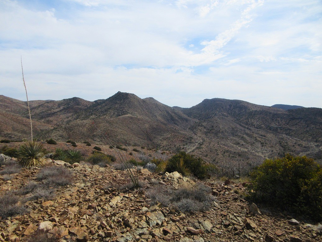
The sun was up but blocked by the clouds to the east. Above me, it was a mix of clouds and clear skies. To the north and west, it was mostly clear. It was going to be a warm day, into the 80s. Even now, it was cool but definitely not chilly.
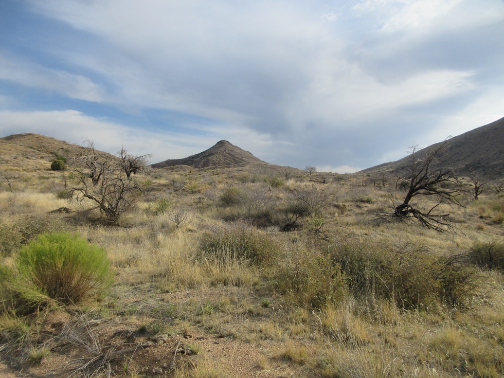
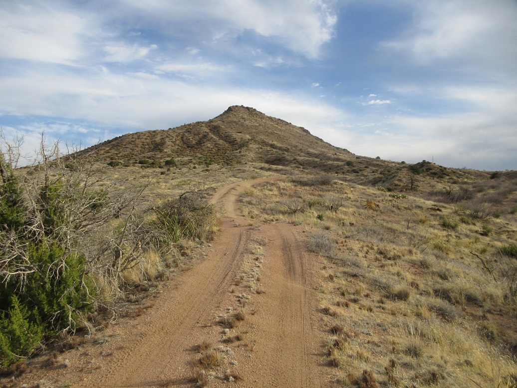
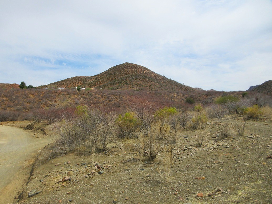
I followed the road about a mile upward, coming to a gate and a lesser track, FR-1070, which heads northeast toward the peaks. The road to here wasn't bad. One or two spots would have been dicey for the Subaru but I think I could have managed it. Walking it wasn't bad either.
The lesser track, on the other hand, is brutal and would need a very sturdy vehicle. It gains and drops very steeply more than a few times. Hikers have beaten in paths beside the road, where walking the road would be too sketchy due to the steepness and the ball-bearing gravel.
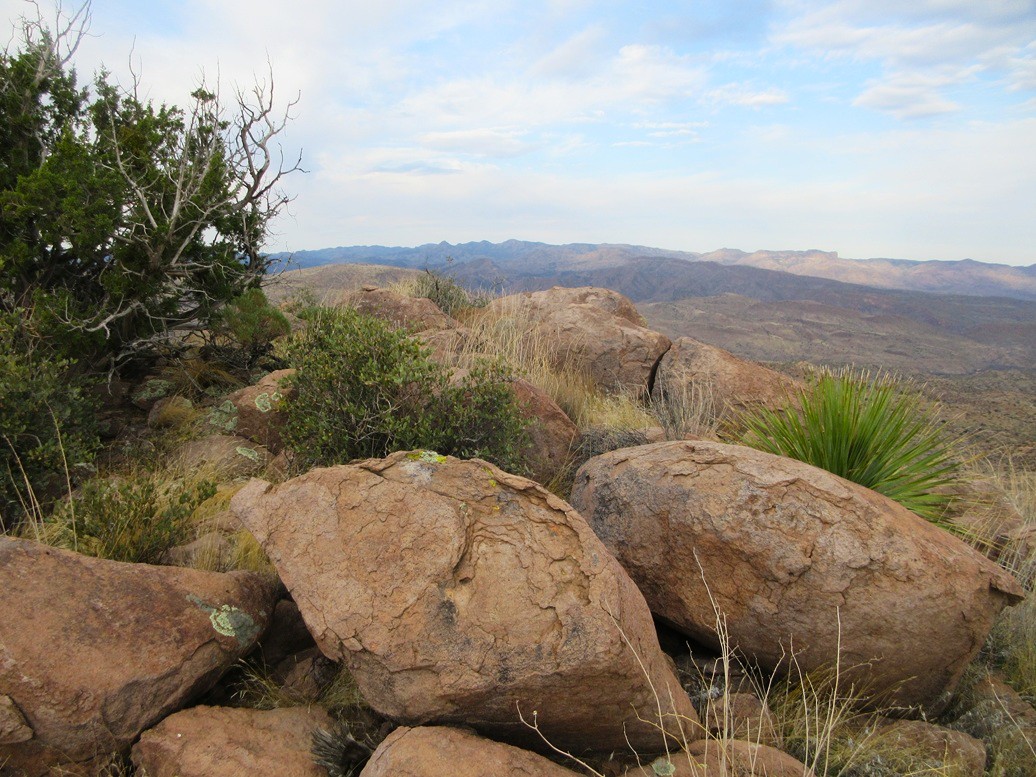
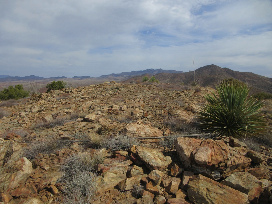
In about 50 minutes after starting, I was at the road's apex at the saddle between the two peaks. I angled left and started up the steep slopes of Peak 4655.
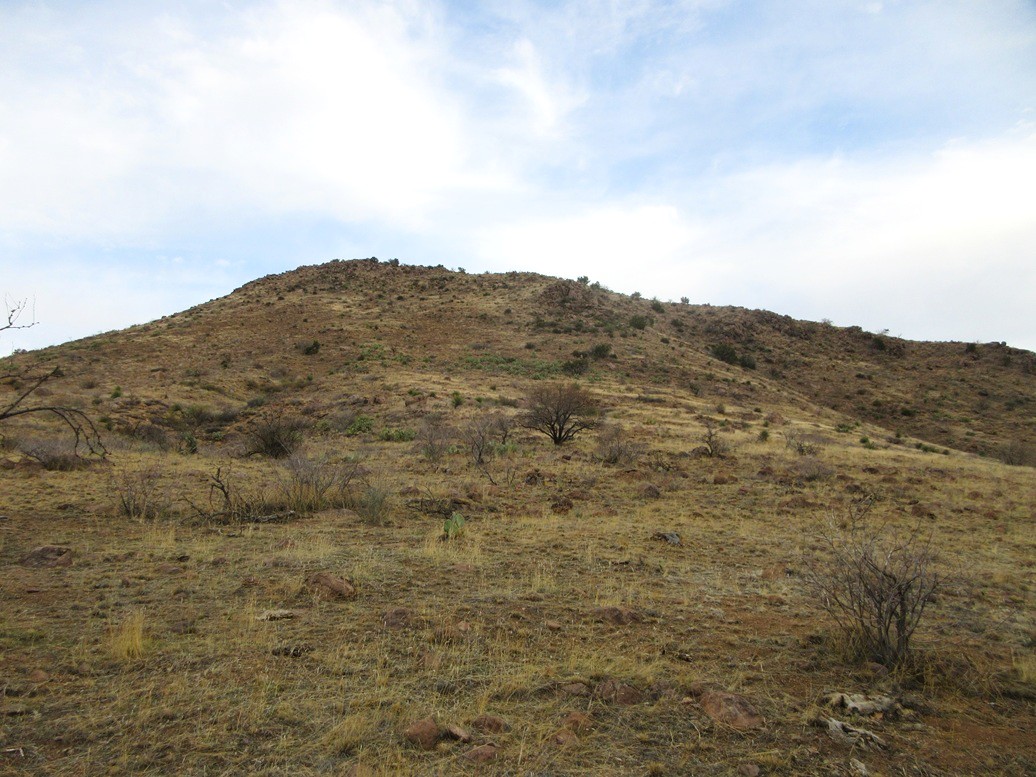
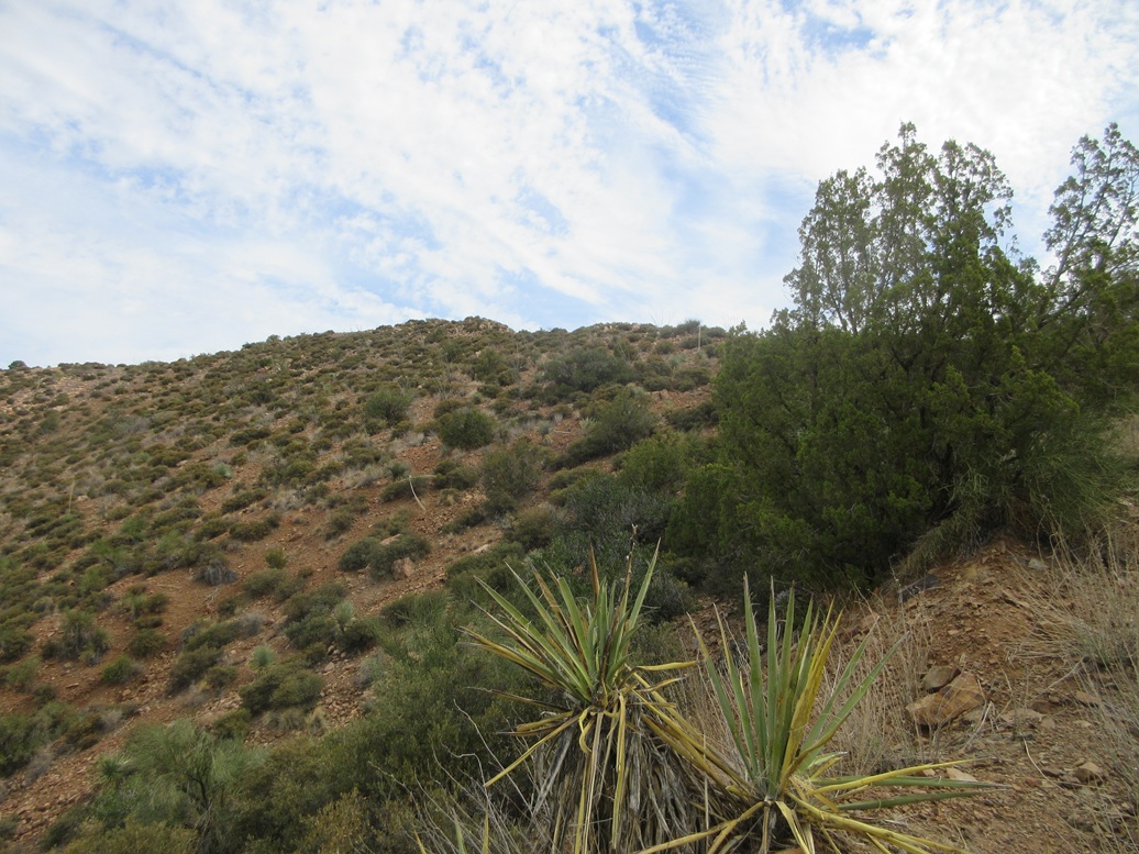
This slope looked very straight-forward. It gets steep, then rocky at its crown, but with a ramp angling right as one looks up. The terrain was mostly solid. I just moved slowly and made sure each step was secure. The ramp worked well, angling above a rocky cliff.
Above the ramp, I angled left now, going up a rocky slope, now on the short summit ridge. The highpoint was a few yards ahead, at the southern tip of the ridge. The ridge was rocky and brushy, but with lanes. I was on top Peak 4655 at 7:45 a.m., about a 75-minute ascent.
The top is a jumble of large rounded boulders, but nothing too high. I was able to step onto them and tag the contending spots. I could not locate a register.
The clouds were still heavy, blocking the good light for photographs. I snapped a couple anyway. But the clouds were also muting the sun and the warmth, which was fine by me. When it gets warm, the bugs come alive too. They were bopping into me. A bee or two took a look at me as well.
Going down, I kept to the same route down the slope, then once back on the road, followed it out to my car. The egress hike went much faster, and I was back to my car in just about 2 hours total for the whole hike. The sun came out and warmed things up, but allowed me to take a few better images.
This is not a destination peak, but I am glad I came back to hike it after skipping it in 2018. It fills in one more blank for me in this general area. It was also my 999th ranked summit climbed within Arizona. Would number 1,000 happen today?
Elevation: 4,161 feet
• Prominence: 421 feet
• Distance: 2 miles
• Time: 90 minutes
• Gain: 640 feet
• Conditions: Much warmer and sunnier
PB
•
LoJ
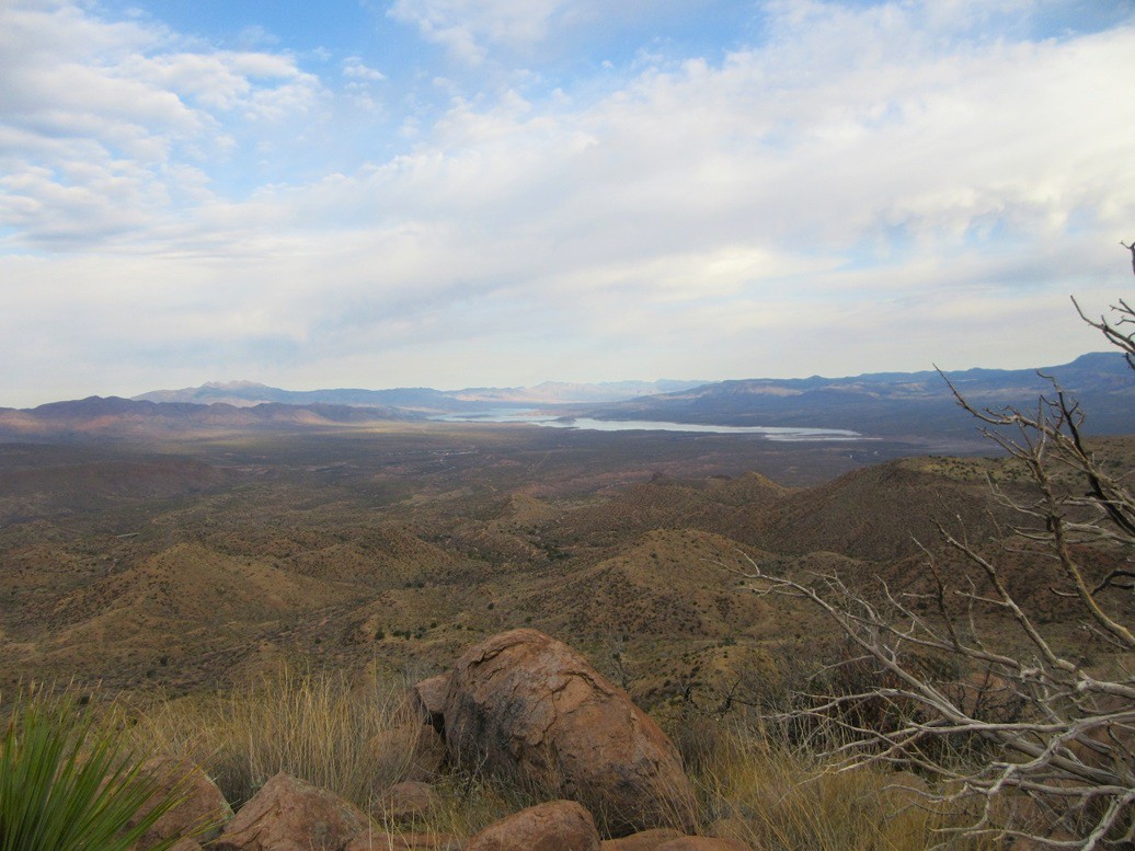
I had a couple other peaks planned, these being a few miles north on AZ-188, where it descends toward Lake Roosevelt. These peaks flank Pinto Creek and looked easy, with a good road getting close.
I found the road and drove in. It was a fine road, but it descended a lot. In fact, I had dropped almost 1,500 feet in elevation, compared to the summit of Peak 4655, and now it was sunny and quite warm.
These two peaks are basically rocky brush-covered ridges. In cooler weather, they would be perfect hikes, but in this warm weather, it was more than I wanted. I canceled this hike almost immediately. I'll come back for these two next fall or winter.
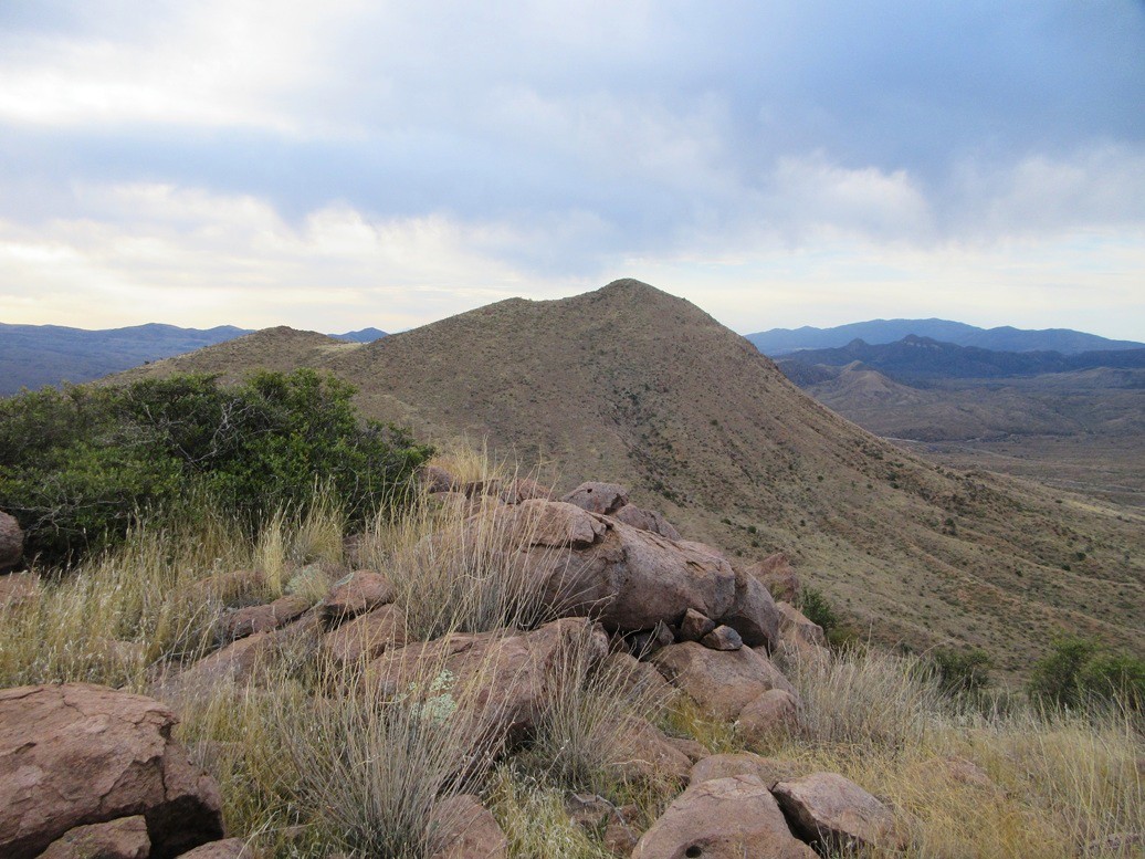
I had a back-up in mind, Peak 4161 over in the lower foothills of the Apache Peaks, just south of the Tonto National Forest and north of the Globe city limits. It appeared to have good access, and an old mine tracks got high on the ridge, plus it looked short.
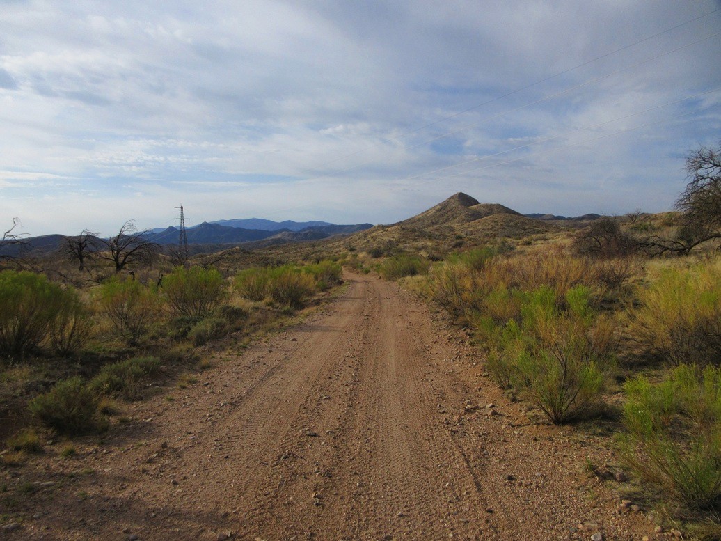
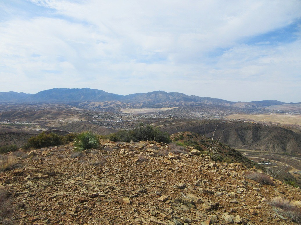
In Globe, I followed local roads north toward Irene Canyon, this area being mostly graded hardpack roads and scattered homesteads, some quite expansive and expensive. Peak 4161 rises above the lower ridges, a two-humped peak with a reddish color to it, due to its old mines.
I drove in on Irene Road less than a mile. On the slopes above me, I could see the road cut of the road I wanted to be on, but where the mountain met the canyon, there was no hint of a road. It was just slopes of loose rocks and tailings. I parked in some brush off the main road and started hiking, the time about 10 a.m..
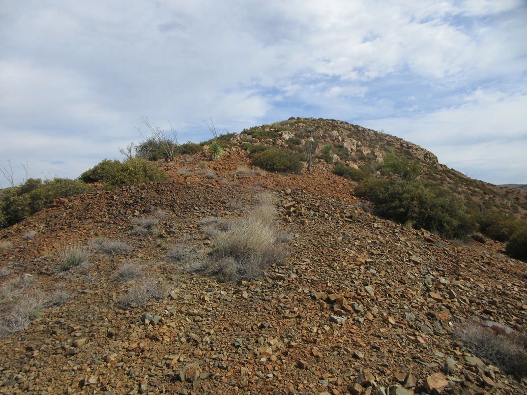
I just picked a line in the rocks and started up, and would figure it out as I went upward. It was loose and unconsolidated, and often came to deep-cut erosion ditches too deep to walk through and to wide to jump over. After some guessing, I was able to get high enough to get on this ancient road.
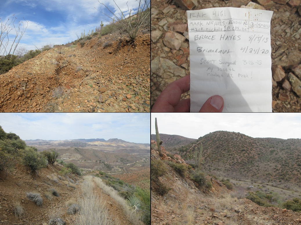
The road angles left as one looks up. It is completely undrivable these days, and had ditches about five feet deep in spots. Mature brush grows in the tread. The mine sites mention a Highline Mine up on these slopes, which functioned about a hundred years ago. That was probably the last time anything with a motor was on these roads.
The road then swings north and then eastish, curling around the mountain and gaining very steeply at times. I could see the main ridge above me, so I did not have far to go. For hiking, it was a chore due to the looseness of the rocks, and the brush, but at least it was mostly clear.
Once on the highest ridge, the summit was less than a quarter-mile away, about 200 feet higher. The ridge was rocky with some bouldery outcrops, and brushy, but almost always a lane to follow, some looking suspiciously like an old path. I followed the lanes and the openings and suddenly, there I was, on top of Peak 4161!
The top is bare and rocky, but open with good views. I found a rock to sit on and celebrated. This was my 1,000th ranked Arizona peak ascended. I texted my homies and got some congratulatory replies from them.
My first peak in Arizona was Camelback Mountain in Phoenix in 1992, when I first moved to the state. Back then, I was a creature of habit. I climbed Camelback and nearby Piestewa Peak hundreds of times over the next decade, and almost nothing else.
In the late 1990s I got into county highpoints, which morphed into the 2,000-foot prom peaks, which eventually morphed into any ranked peak (anything with 300 feet of prominence). As recently as October 2021, my Arizona count was at 500 peaks. My 800th peak was in January 2024 and my 900th in September 2024.
Honestly, I have no idea how long I can sustain this pace. As long as my legs behave and I stay healthy and not injured, I'll keep knocking out the peaks. Naturally, my next long-term goal is number 2,000. But I prefer to take things in more manageable chunks. My next immediate goal is peak number 1,001.
I have to admit, I was pretty tickled to make it to 1,000. It's a nice round number, a perfect cube, M in Roman numerals, 1111101000 in binary, and its common logarithm is exactly 3. It had been a goal of mine, and I was well aware of my count as I neared it. I celebrated with a Gatorlyte-Zero.
The hike down went fast, the loose rocks helping me at times get down faster. I was back to my car quickly, this round trip taking about 90 minutes. It was warm now, well into the 80s, and I wasn't eager for more hiking. I drove back into Globe proper, where I stopped for a sandwich at a Subway.
It was just noon, and the closure of highway US-60 near Superior wouldn't be lifted for another couple of hours. So I decided to go for a leisurely drive, taking the bypass route, catching AZ-77 south into Winkelman, and then AZ-177 north into Superior. This is about a 50-mile longer drive than just taking US-60 from Globe to Superior, but it is scenic and not that crowded. The mountains in this area, especially along AZ-77 more toward Winkelman, are quite impressive.
I was in Superior about 1 p.m., and it was warm, mid 80s still. I stopped for gas and cold drinks, then drove to where US-60 and AZ-79 split in Florence Junction. I had time to kill. I spent almost an hour, parked in a clearing where El Camino Viejo parallels the highway. A few other drivers seemed to have a similar idea. It's a big cleared area so you can park and not be crowding someone else. Temps were in the low 90s here, being about a thousand feet lower in elevation.
In the 1990s, I was in "Flojunk" a few times. This was when US-60 was still a two-lane route into Superior. I would ride my motorcycle through here once or twice. I recall there was some old buildings here, with wooden planks for sidewalks. Now, nothing is here. There don't seem to be many images online. I sometimes wonder if I dreamed it.
I got to my hotel in Gilbert, and celebrated my 1,000th Arizona peak with the fish taco plate from a Mexican place up the road. Yes, I had a "grand" day (in both senses of the word).
|


|