The Mountains of Arizona
www.surgent.net |
|
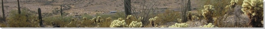
Peak 2272 • Peak 2226 • Peak 2227 These three peaks are just hills of rock and cactus, located alongside Interstate-8 about 30 miles west of Casa Grande, near the Hidden Valley interchange where state route AZ-84 ends at the interstate. This is an area I have never explored, and have only been here a couple times, on those rare occasions I needed to be on Interstate-8 from this way. I was in Tempe, giving my final exam tonight, which ended at 9 p.m.. I did not want to drive all the way back to Bisbee, which would mean getting in after midnight. I had planned for this, and I saw that there is a basic camping ground called the West Pinal County Park (Kortsen Park) in the area. I reserved a spot. This park is along AZ-84, less than a mile from Peak 2272. From Tempe, it's about an hour-long drive to get here. I stopped in Maricopa for drinks and something to eat, then rolled in about 10:30 p.m., and found my spot. It was pretty basic, but that was fine with me. It was too cold to sleep on my cot so I would be inside my car anyway. It worked out pretty good. There was a car on AZ-84 every few minutes but it wasn't loud. Interstate-8 is about a half-mile to the south, but it was overall very quiet here. The place is very basic, the bathrooms are port-a-johns (or a bush), but the upside is that it's mostly bare-bones campers here, not the big RV crowd. I was up with the sun, and after a few minutes of warming up and walking around, got my car cleaned up and myself situated for the mile-long drive toward two peaks, Peak 2272 and Peak 2308.
Date: December 11, 2024
• Elevation: 2,272 feet
• Prominence: 312 feet
• Distance: 0.6 mile
• Time: 40 minutes
• Gain: 402 feet
• Conditions: Cold, high clouds
Arizona
•
Main
•
PB
•
LoJ
I found a road that led in toward the peaks. This road was on State Trust land although the land here is mostly administered by the BLM. The road was sandy and uneven, but easy to drive. I only went in a half mile, parking behind a mesquite tree, at the base of Peak 2272.
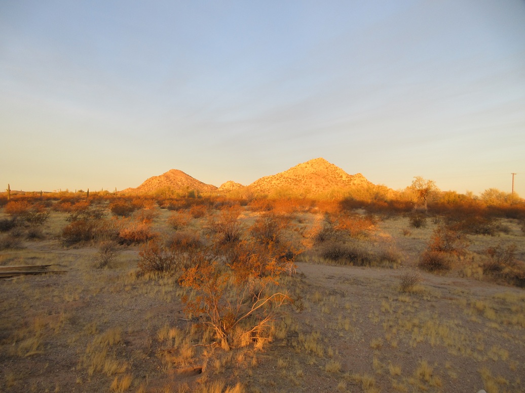
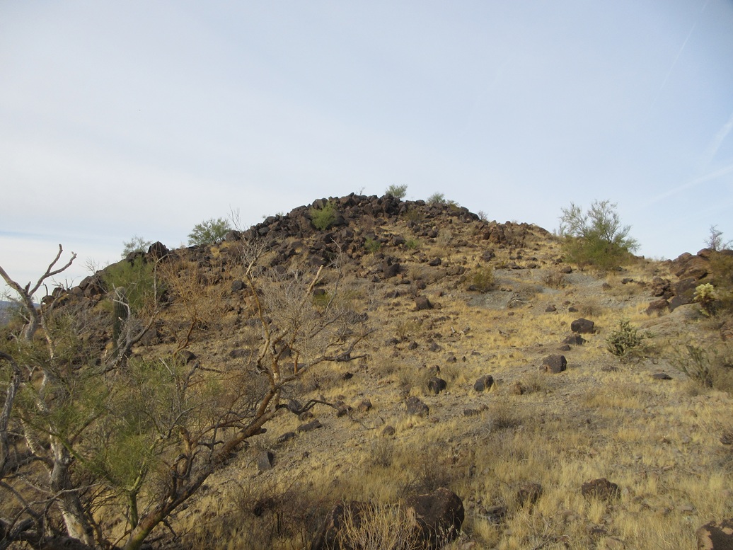
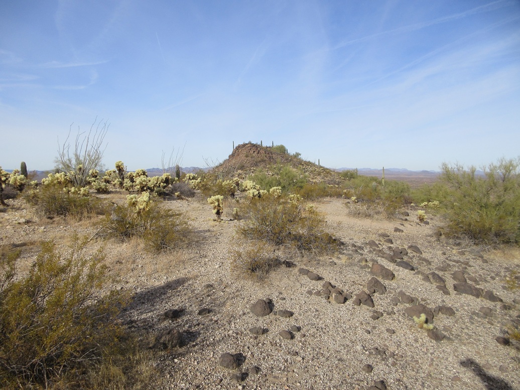
Peak 2272 is just a conical mound of rocks and gravel, whereas Peak 2308 is much more craggier, with small cliffs and a rocky ridgeline that looked like more work than I had planned. My plan was to ascend Peak 2272 first then make a decision on the other peak.
The day started very cold, temperatures near freezing, but calm otherwise. There was a sheen of high clouds that muted the sun and the colors for now. I went light, not even carrying a pack. I just wore a jacket with my stuff in the pockets.
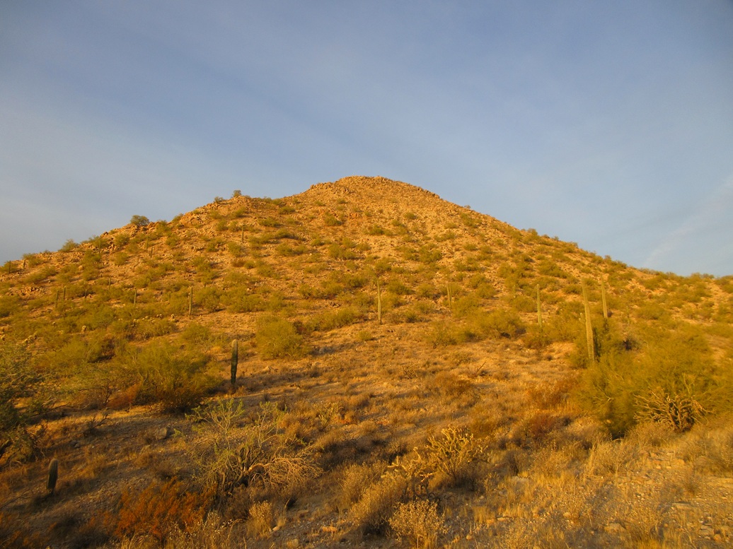
Getting up Peak 2272 was easy and fast, but not very much fun. The slopes were steep and covered in loose coarse "dog food" gravel. The bigger boulders were loose too. I slowly stepped upward, using any of the larger and more firmly-embedded rocks to stand upon. In this manner, I inched upward to the top, the ascent taking about fifteen minutes.
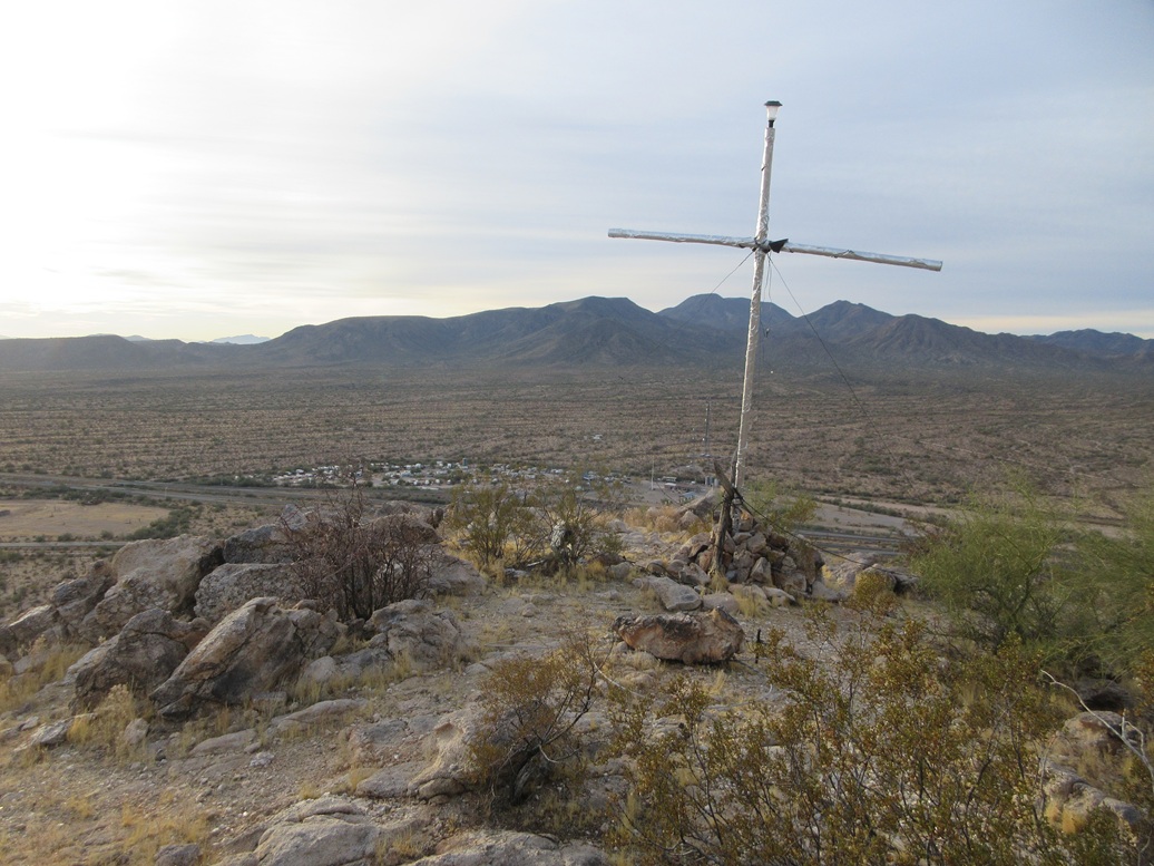
The top was nothing special, a hump of dirt and rocks, with an odd-looking "t" structure which at first looked like an antenna. There were wires jutting from it, but upon closer inspection, it looked like PVC pipe wrapped in silver duct tape, the wires being guy-wires to keep it upright. It may be an antenna, although I saw nothing else here that would require an antenna. It may be a cross. If so, this one's pretty trashy, and it's invisible from below anyway.
Heading down was a chore. I went slowly. The rocks and gravel wanted to slide from under me. I followed my ascent line, following my own footprints many times. I was back to my car soon, being gone just a shade over a half hour.
I did not enjoy this peak at all. This kind of slope, combined with a much rockier ridgeline, prompted me to forget about Peak 2308. I was not interested in more of this terrain. I wanted easy walk-ups today.
I exited back to AZ-84, then got onto westbound Interstate-8, aiming now for a pair of nameless twin hills about a mile or two distant.
Elevation: 2,226 feet ✳
• Prominence: 302 feet ✳
• Distance: 0.8 mile
• Time: 30 minutes
• Gain: 270 feet
• Conditions: Chilly, same high clouds
PB
•
LoJ
•
Lidar
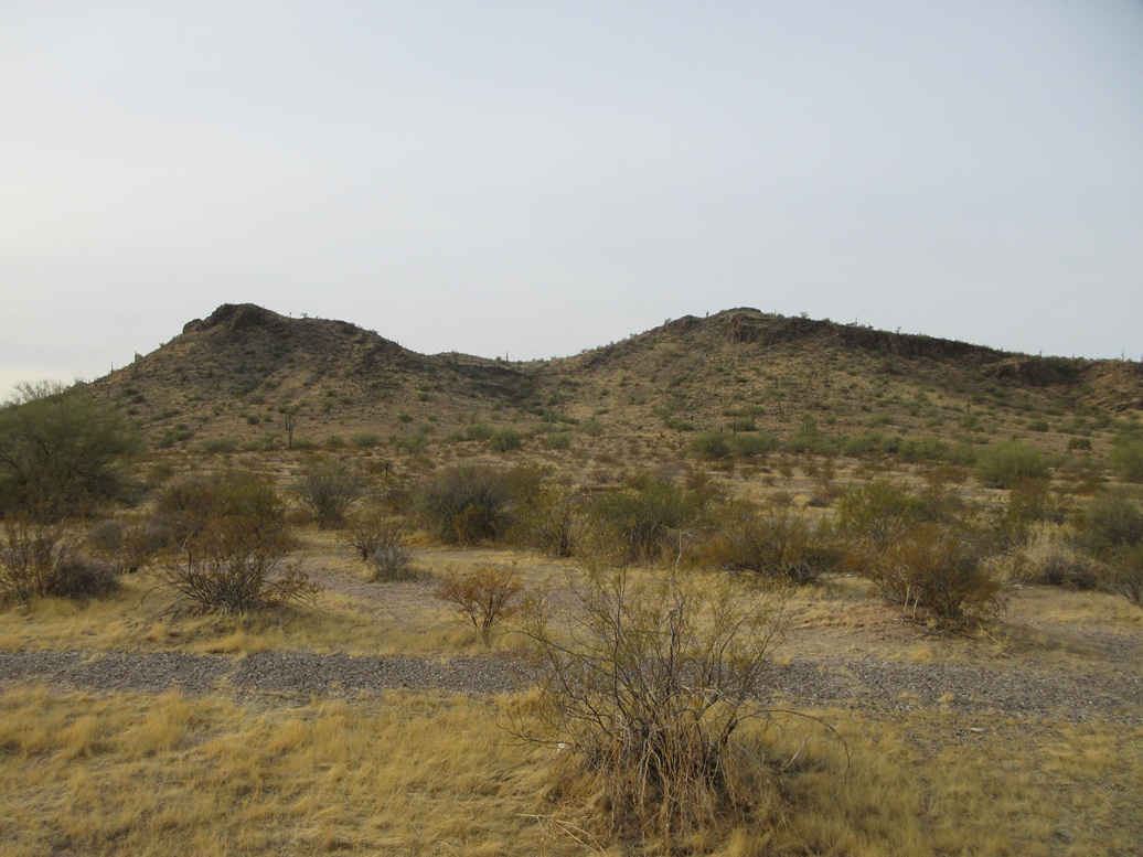
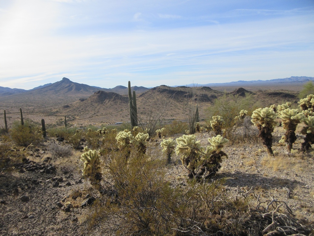
Two volcanic mounds straddle Interstate-8 near the rest stops. Neither has a summit elevation printed on the maps, both showing just a 2,200-foot contour at each summit.
Before I left yesterday, I got onto the Lidar site to see if there was more detailed 1-meter data for these peaks and yes, there was. The peak to the north came in at 2,227 feet, with a prominence of 312 feet. The peak to the south came in at 2,226 feet with a prominence of 302 feet.
In fact, the southern peak had heretofore not been identified as a ranked peak because the maps are not detailed enough, and no one had bothered to do the Lidar analysis. I had John at Lists of John to confirm it and he did. This peak then suddenly graduated into ranked-peak status. Only one other person had climbed it according to his site, Doug Kasian many years earlier. I felt honored to be the first to climb it now as an official ranked peak.
I had no real plan in which order I would climb these two peaks. Being westbound on Interstate-8, I would not be able to access this peak yet. I looked for ways to access the northern peak (Peak 2227) and saw a BLM road, but I was already past it with a truck on my butt. I noted it for later, and drove a few more miles to the Vekol Road exit, doubling back eastbound. I exited onto the tiny rest area near this peak, Peak 2226. I guess I'm doing this peak now.
The rest stop isn't much of one. There are no facilities. The signs just call it a parking area. Trucks mainly use it but cars too. I parked up ahead to be out of the way of the trucks. Peak 2226 is just right there, less than a half-mile to the south.
The high clouds were still here, muting the colors. Everything had a dingy tan and gray look to it. This rest area was trashy. There were picnic tables and walking paths. I walked to the fence bounding this area and passed through a large opening. Technically, I was in the Sonoran Desert National Monument now, the boundary being alongside the interstate.
The terrain here was more grassy, and the rocks the blacker volcanic type that held in place well. As such, getting up the slope was easy, footing secure the entire way. I achieved the ridge a little to the east of the highpoint, then was on top in a matter of minutes.
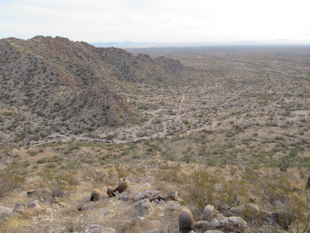
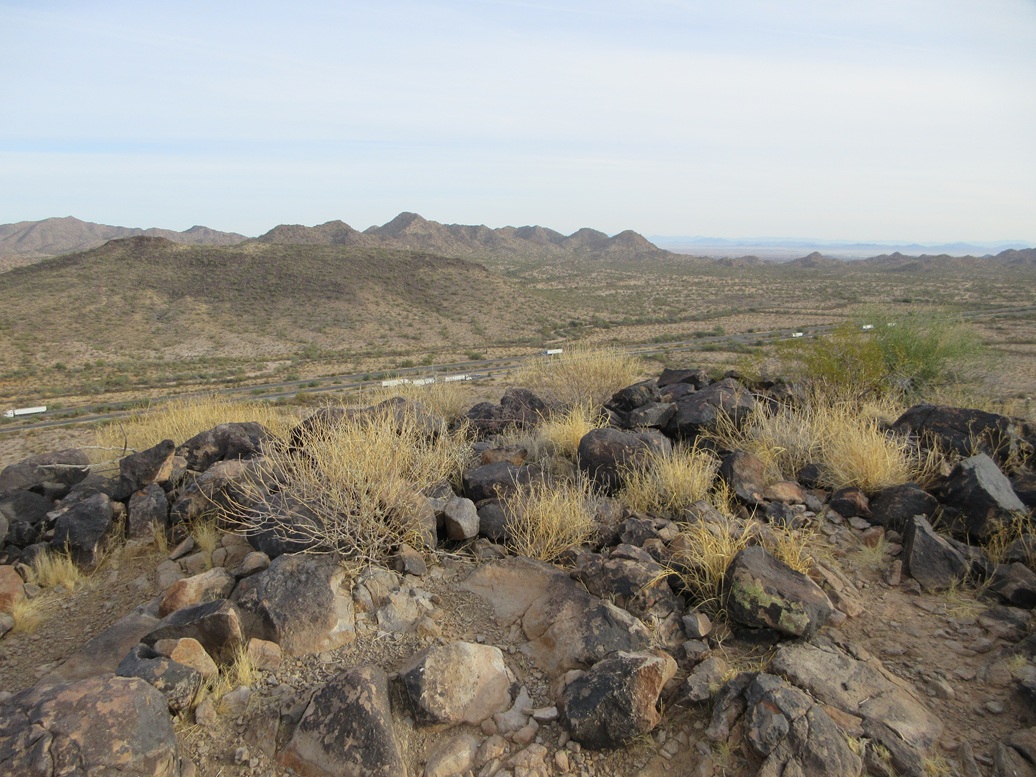
Views from here were decent, the muted sun not helping things. The bigger Table Top mountains rose to the south. I saw no cairns or registers and did not stop, just starting right back down. This round trip took just a half hour.
Peak 2227 was right there, across the highway. But I had no intention to actually cross the interstate. It wasn't heavy with traffic, I thought it was just bad form. That, and if I got stopped, I'd have some splaining to do. This area is known for border crossers and smuggling, so the last thing I needed was a BoPo or sheriff deputy quizzing me and telling me to get lost.
Elevation: 2,227 feet ✳
• Prominence: 321 feet ✳
• Distance: 3 miles
• Time: 75 minutes
• Gain: 330 feet
• Conditions: Warmer, more blue skies
PB
•
LoJ
I got back on Interstate-8 a couple miles to the Hidden Valley exit, then got right back onto the westbound lanes, now knowing where that road ingress point was ... which I drove right past again. Fortunately, there was no one behind me so I eased to the side and reversed in the shoulder to this gate.
The gate wasn't even latched. It just stays standing on its own. It has the usual signs about keeping it closed, but nothing prohibitive. I opened it, drove through, closed it, and drove in a hundred or so feet. The road got rocky fast, so I parked in a turnaround. I was about fifty feet from the interstate, but hidden by a low ridge of brush and a large tree.
From this spot I was about a mile and a half east of Peak 2227. Given that the first two peaks combined had barely been over a mile of hiking, I was alright with this one actually requiring some effort.
The walk west was easy, the land here being flat and mostly open. I just kept on a bearing toward the peak. About a half-mile in, I came upon a good road with fresh tire tracks. I was not sure where this road came from and would have to check on it afterwards. But for walking, it was great and allowed me to make good time.
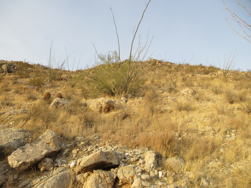
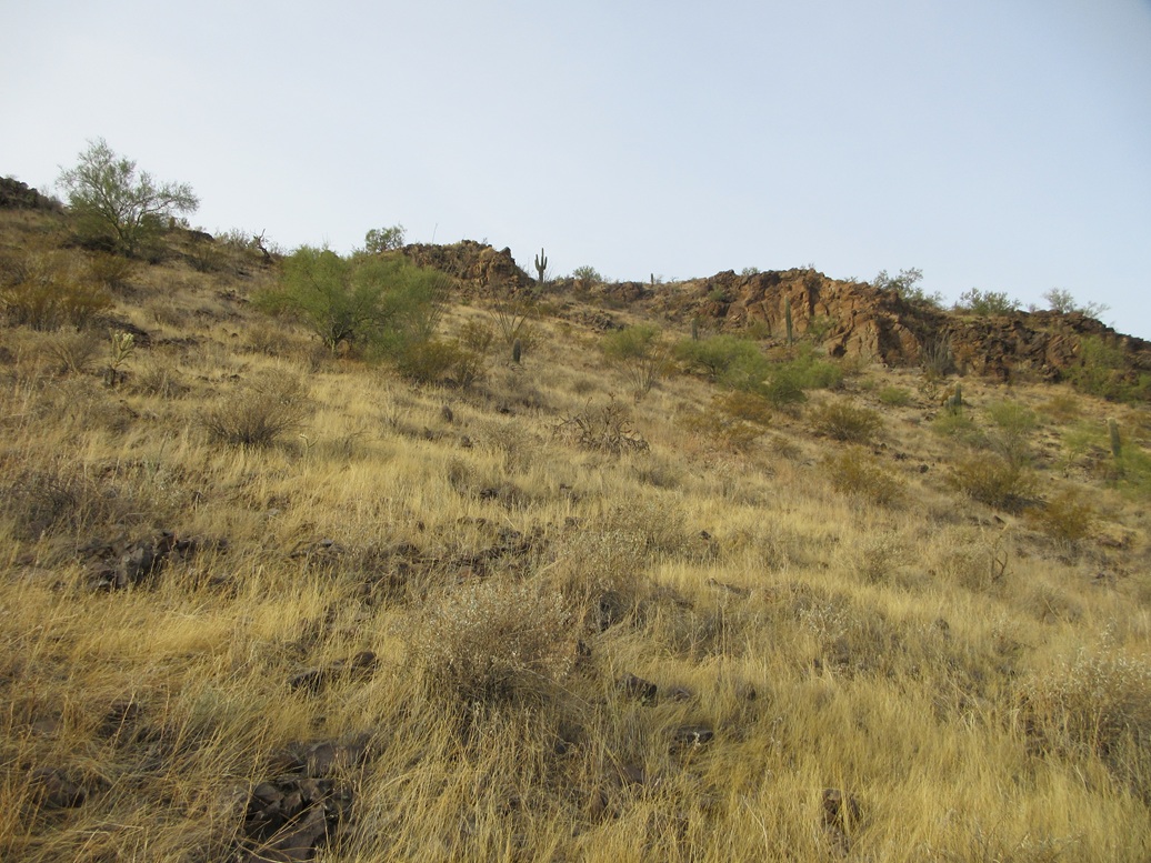
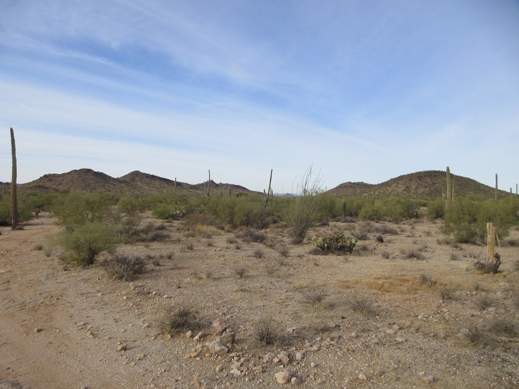
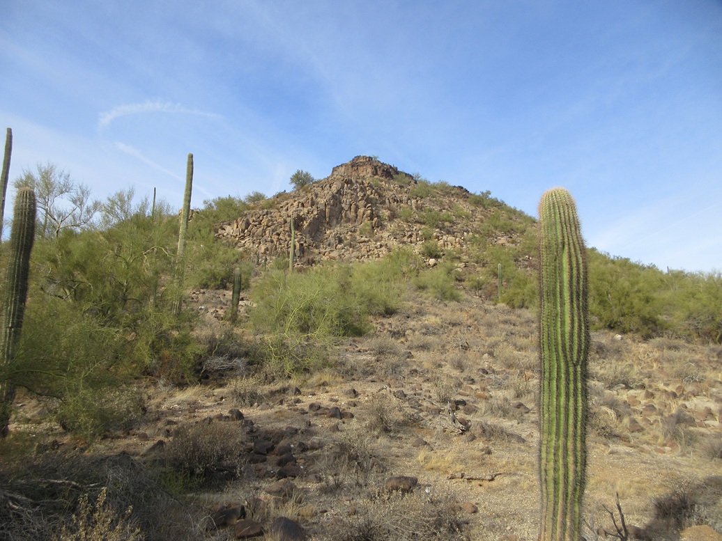
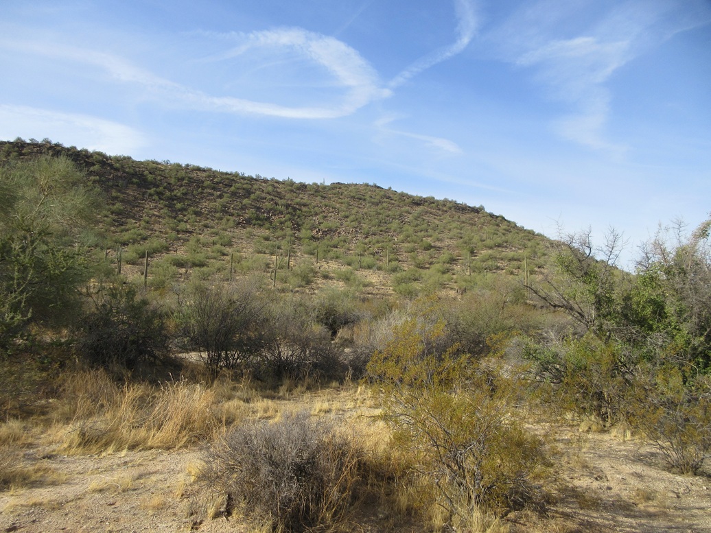
I was soon at the east tip of the peak's massif. It is a volcanic mound so it has the usual "loaf" shape, with somewhat-steep sides then a long easy ridge. I tackled it head on, and marched up the rocks, almost like walking up stair steps. A few minutes of this, and I was on top the ridge, the summit still invisible for the moment.
The ridge was open and rocky, with saguaro and palo verde. After a few minutes, I crested a rise and saw the top up ahead, a knob of rock about twenty feet high. I was soon there, on top of Peak 2227.
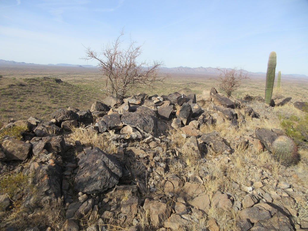
The sun had come out now, allowing for better light for images. I also found a cairn and register, and signed in. This peak gets a little more action than I would have thought. The names were the usual ones I see in every register in the state.
I spent about five minutes having a rest and a drink. I looked around and got a sense of the roads and hills for a possible future visit.
Going down, I opted to drop off the northern slopes since they looked friendly and lenient. This worked well, and I was able to get back onto that road I had been on earlier. I followed this road most of the way back to my car. The round trip had taken just over an hour, and I was pleased to have a three-peak morning, and barely break a sweat.
Exiting, I got onto the highway again, exiting at Vekol again, then doubling back, now for the long drive back to Bisbee. I did it all in one big push, with a grocery stop in Benson, arriving home at 2 p.m..
These three peaks were interesting. I wouldn't say epic or fun, but they were a good excuse to come this way, an area I rarely explore. It had been an interesting few days and an interesting few months.
The road I was on had fresh tracks and I suspect it is run often by the Border Patrol. Looking later at maps, it appears there is an access point to the west off Vekol Valley Road, and possibly one to the east. The road was good enough to where my Subaru would have been fine. That ingress point off the interstate was rocky and rutted, but I only went in very briefly.
I graded my students' finals that day and evening and got grades entered, formally closing out this semester, my 61st as a faculty member at ASU. I commuted once a week from Bisbee into Tempe, teaching Tuesdays and Thursdays, leaving Wednesdays open for appointments in town (doctors, car, etc), and time for myself. I camped a lot, often just on my cot in the open. I hiked about thirty peaks this way.
Today also marked exactly one year that I formally moved to Bisbee full time, closing out my time in Tempe and all that came (and went) with it. I don't miss it. I drive back for my job, but not living here, it feels like I'm just visiting, and I'm okay with that. Being in Bisbee for a year had been great for my piece of mind and my body too ... I've actualy dropped twenty pounds this past year.
I also came away from this journey with a cough and a cold. The cough started up a couple days ago and started to develop a little more each day. Nothing serious, just a cough once every few minutes. I felt fine physically and had good energy. But now, two days later, it's hitting me pretty hard. I'm not sure what I have.
I'm grateful for what I am able to do. I won't complain.
|


|