
The Mountains of Arizona
• www.surgent.net
|
| Peak 4935 |
• Sierra Prieta • Arizona State Trust Land • Yavapai County |
|
Date: September 9, 2026
• Elevation: 4,935 feet ✳
• Prominence: 349 feet
• Distance: 2.4 miles
• Time: 1 hour, 10 minutes
• Gain: 660 feet
• Conditions: Cloudy, barely cool
• Wildlife: Cattle
Arizona
•
Main
•
PB
•
LoJ
Today being Wednesday and may day between teaching, I headed north again to tackle a peak or two, concentrating on the area southwest of Prescott and north of Yarnell. I was on the road at 4 a.m., taking the route through Wickenburg and up the Yarnell Grade.
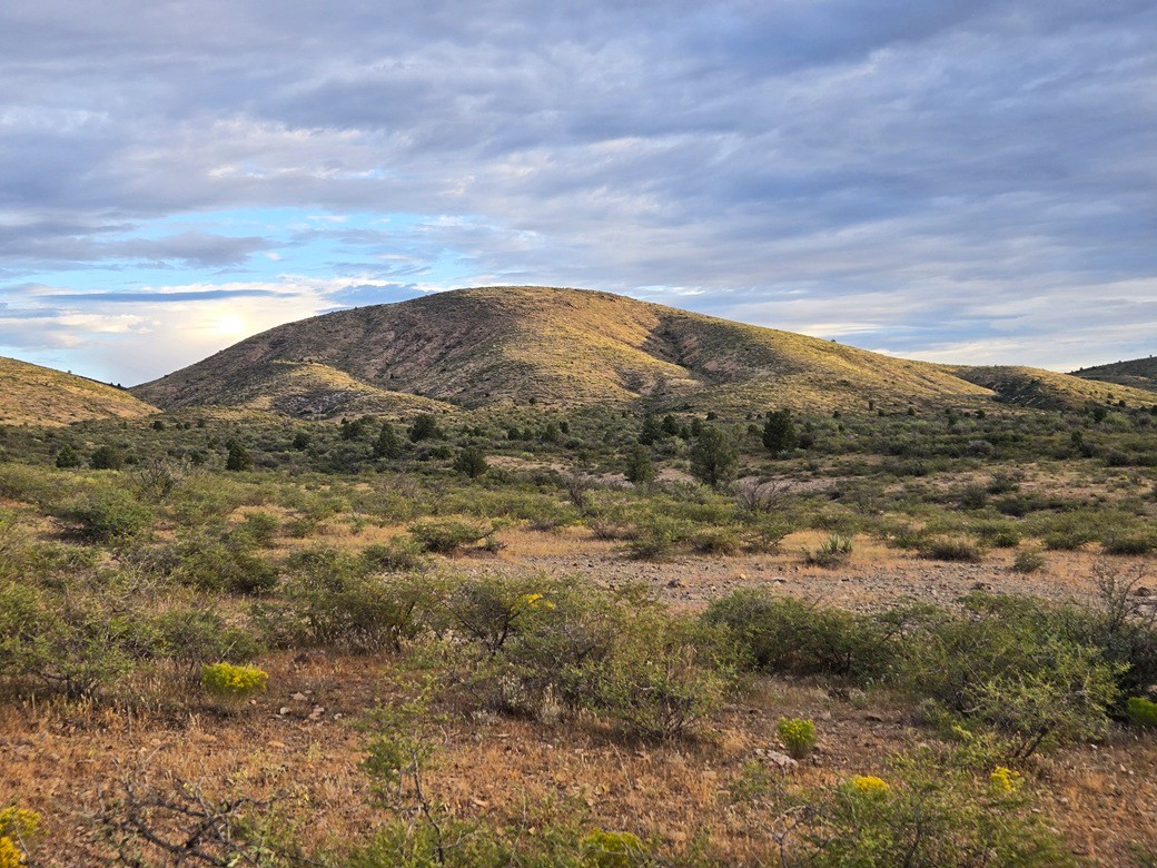
On the agenda was Peak 4935, a rounded mound of a peak located northeast of Peeples Valley, north of the historic Wagoner Road. This was new territory for me. I had never driven on Wagoner Road before.
It was still very warm as I left Phoenix, in the 90s, "cooling" into the 80s in Wickenburg, and into the mid-70s once past Yarnell. The sun was up but the sky was cloudy, mostly a layer of thin high clouds, not big puffy storm clouds.
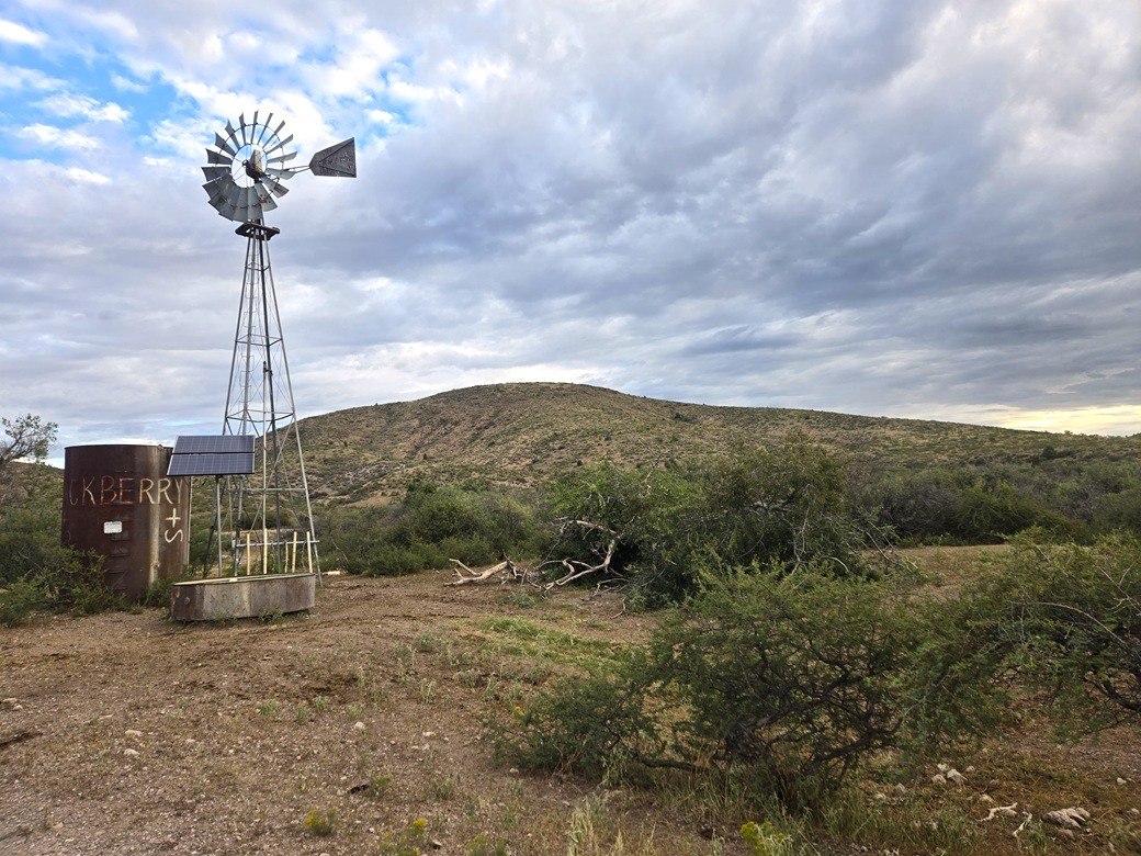
I got onto Wagoner Road and drove in about four miles, tracking the bends in the road and on the lookout for a side road that leads north toward the peak. A windmill, called Hackberry Windmill, lies about halfway.
I found the road, or so I thought. It ended up being just a cleared area with fire rings. I needed to go another couple hundred feet on the main road to access the actual road. I rolled in and did not get very far. The road drops into a rocky arroyo, and it looked marginal. Rather than risk it, I parked early, mostly hidden from the main road.
It was 6:30 a.m. and not cool and not warm, in the mid-70s but with noticebale humidity and no breeze, although it wasn't too bad. I was looking at a little over a mile to the peak, half of it on this side road. I could see the peak in the distance. With the low sun, I had good lighting for photos, before the clouds blocked the sun again.
I was walking at 6:40 a.m.. The road walk went fast and took just fifteen minutes to the windmill. The road was in decent shape. If I had been careful, I could have eased the Subaru through the arroyo. Afterwards, it was mostly smooth and rock-free. This is open country. Cattle roam the area. I could see some up on the hill, and their poos everywhere.
The clouds actually helped by blocking the sun. The ambient warmth was tolerable, so not having the extra thermal effect of the sun was helpful. I soon left the road and started up the slopes.
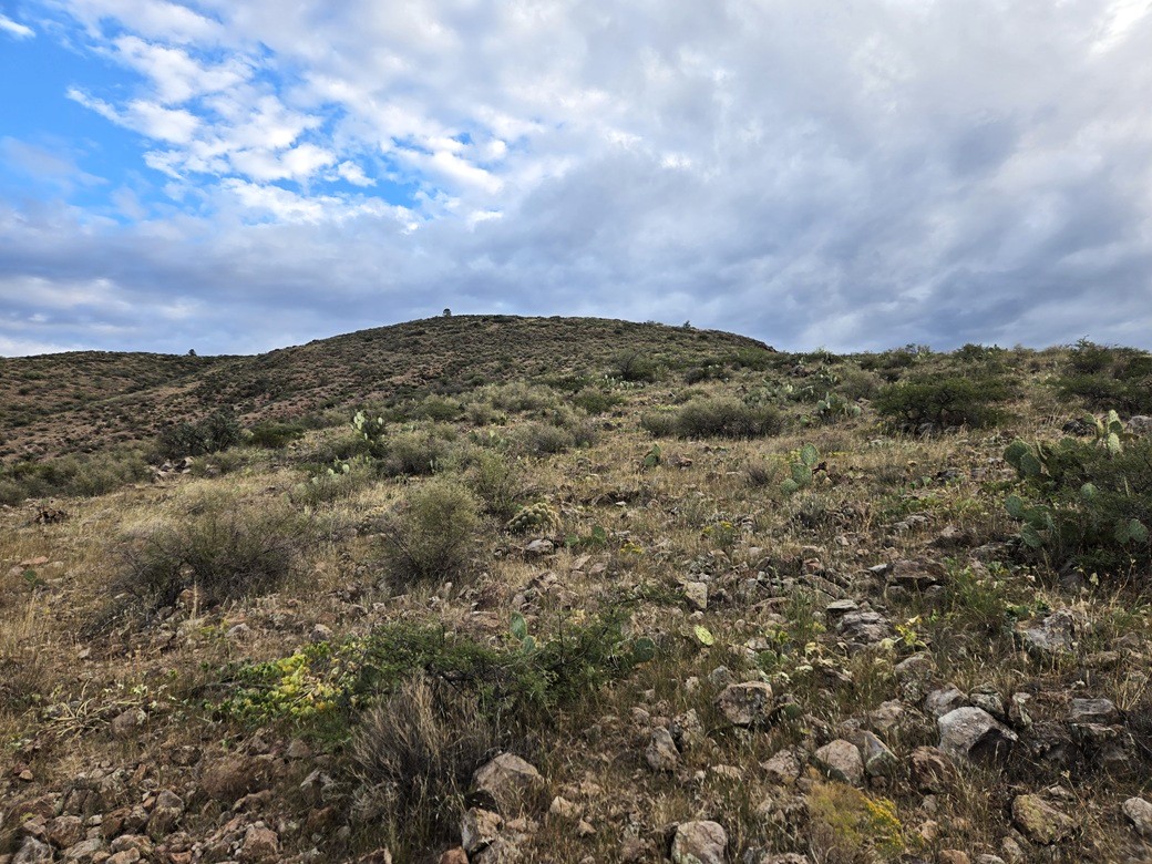
The slopes laid back well and were never steep. They were rocky, but mostly small boulders that were easy to step over or around, some would roll if I wasn't careful. A couple cows were up ahead and I just made sure to leave them room as I walked by.
The slope moderates about halfway up, being level for a brief stretch, then starts the second half of the climb. The slope was about the same as before. The brush was rarely a problem. It was spaced out, always allowing me a lane to pass through. I had my snake gaiters in my pack just in case.
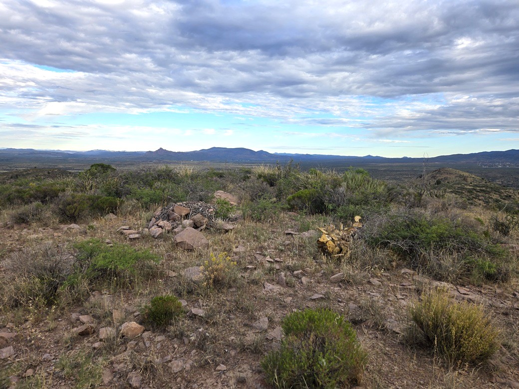
Another twenty minutes and I was on top, the top being broad and gently rounded. One boulder appeared to be highest, with a packrat midden nearby. I found a register within a cairn and signed in. This peak doesn't see many visitors, being way off the main routes. Those who have been here generally are the Prescott-area peakbaggers.
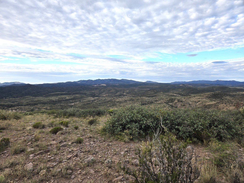
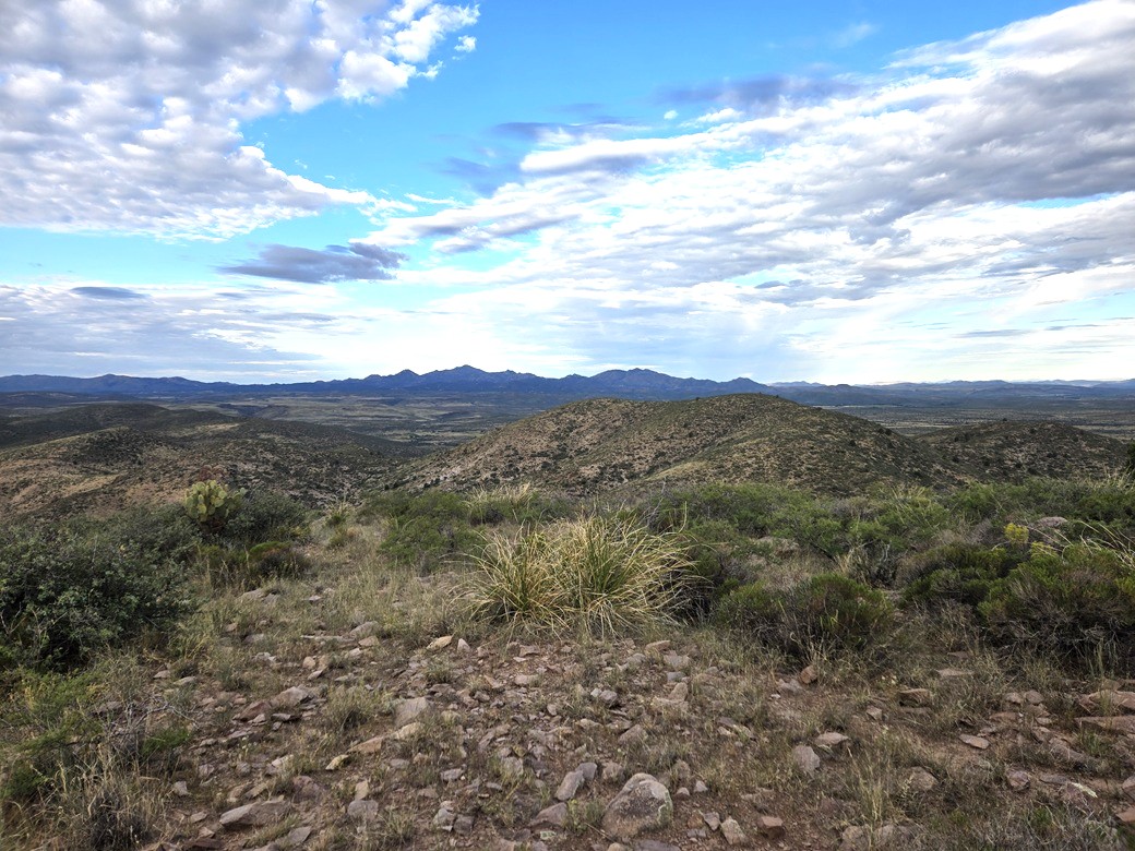
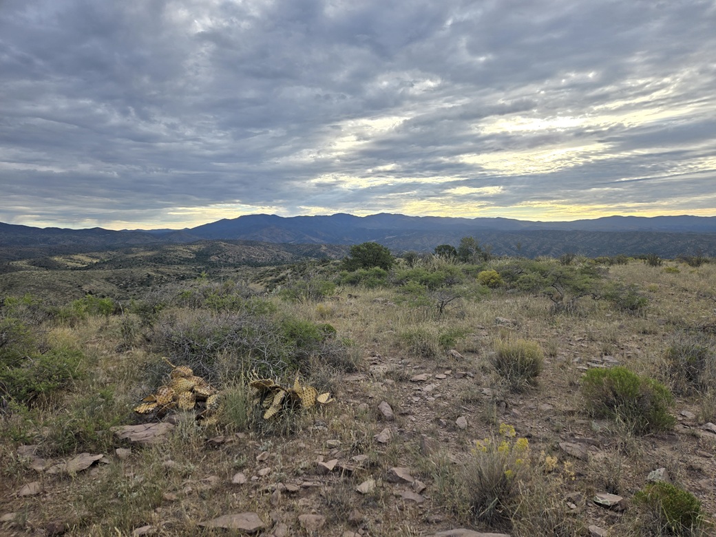
Views weren't great due to the clouds muting the sun, but I got some decent images. I took a one-minute sit-down break to drink something. It had taken me about 40 minutes to get here.
Going down went much quicker. The slopes were friendly, and all I had to do was avoid the cows. I was back to my car in a half hour, for an overall 70-minute hike. I enjoyed this hike a lot. It was an easy peak with easy logistics, and prettier than I was expecting.
Wagoner Road runs south and east, mainly through a number of ranch outfits. The peak and the entire hiking route were on State Trust land. I had my placard in my car window. There were no prohibitive signs. The only signs I saw were so old and worn I could not read them.
It was warming slightly, into the low 80s now, the time a little before 8 a.m.. I did not delay. I started right out and headed north, now aiming for Tonto Mountain, about a 25-mile drive.
|

|