The Mountains of Arizona • www.surgent.net
Tonto Mountain • Sierra Prieta
• Prescott National Forest
• Yavapai County


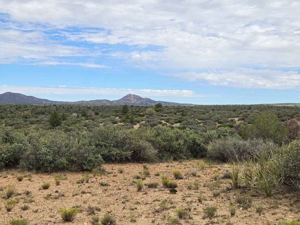
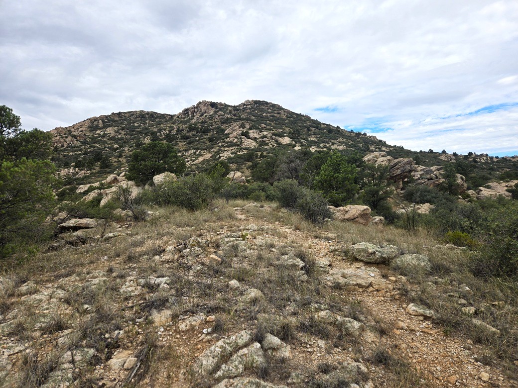
Tonto Mountain way in the distance
 

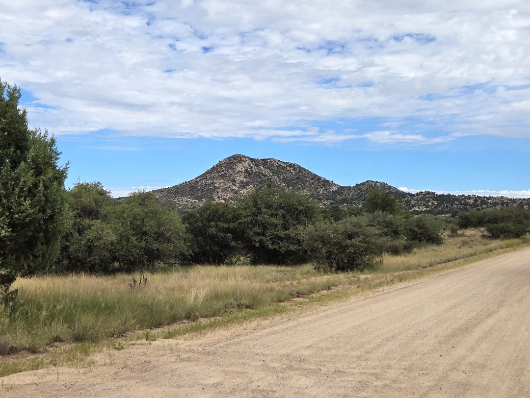
Now closer
 

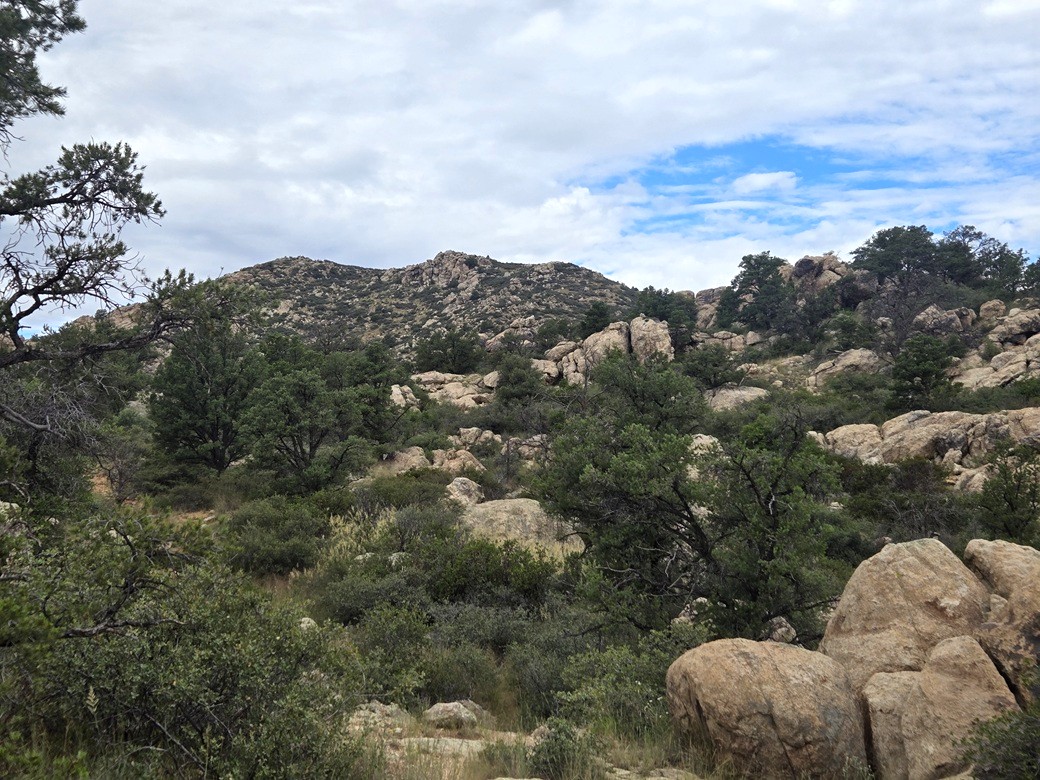
I finally see the peak again hiking amid the rocks
 

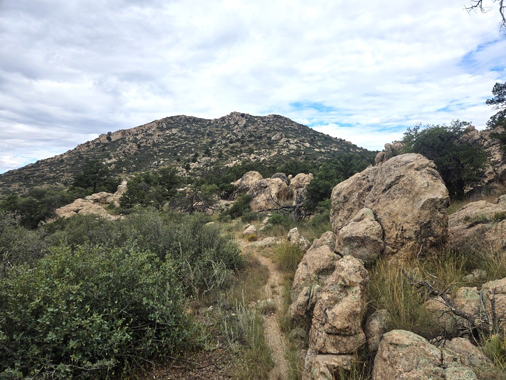
Another shot
 

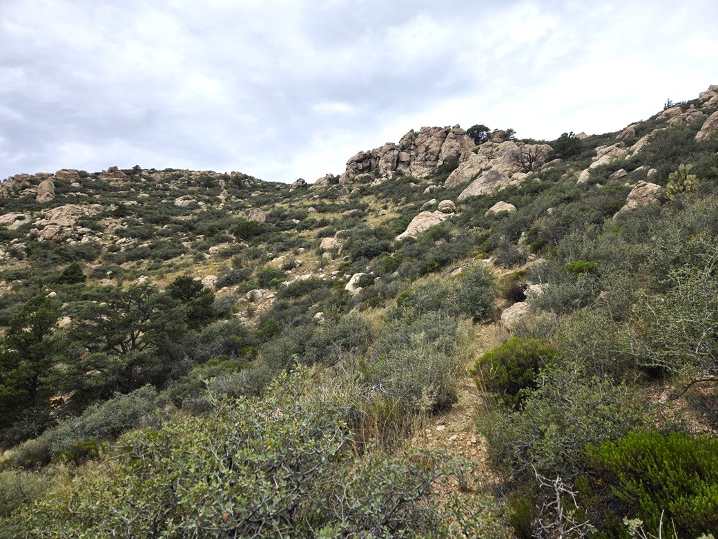
At the base of the steeper parts
 

Almost there (wipes sweat from brow)
 

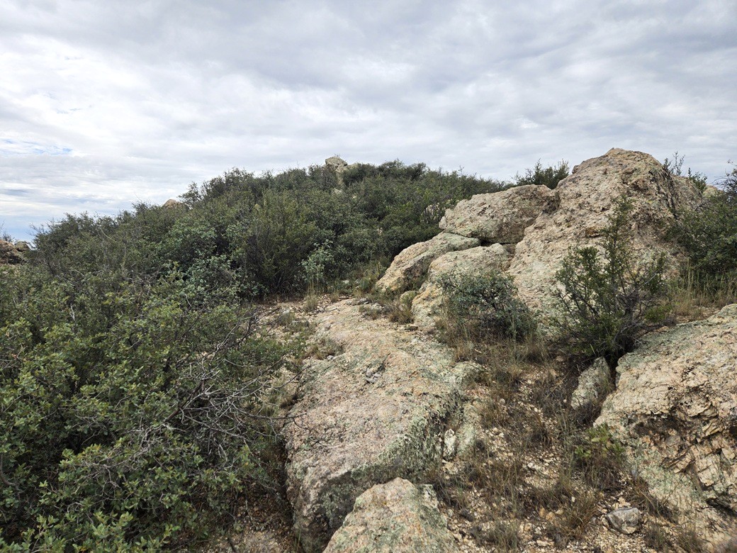
Summit ahead. That's not the top rock. Another one in back is
 

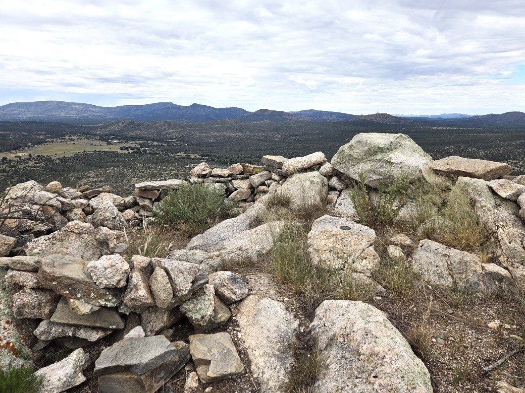
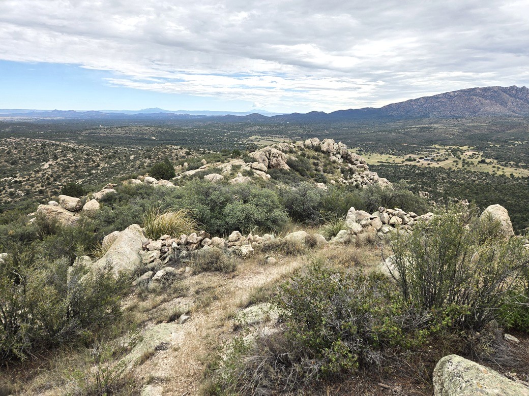
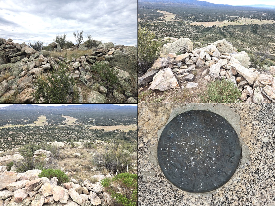
The summit rock and some old battlements
 

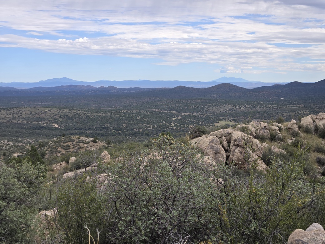
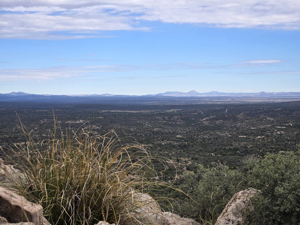
Look north, the big volcanos are visible
 

Bill Williams (left) and mighty Humphreys (right)
 

Mount Floyd and Trinity in back, I believe
 

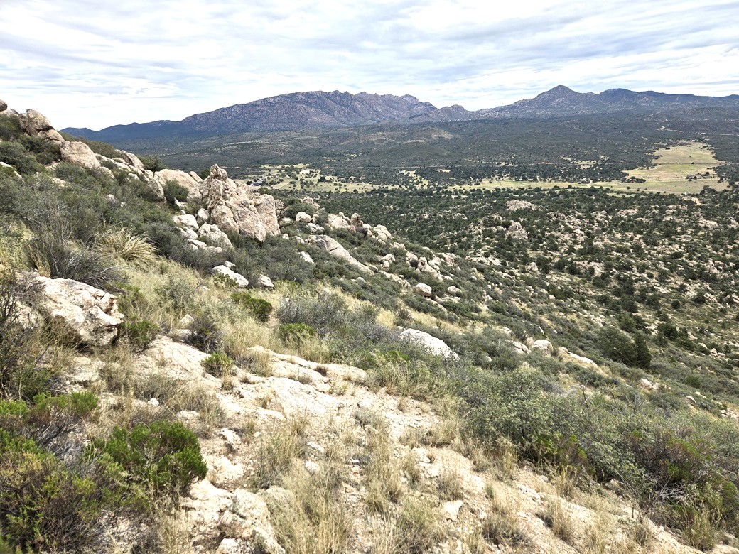
Hiking down, in back is Granite Mountain and to the right is Little Granite
 

Some battlement ruins shots, and the hopelessly scratched up benchmark
 

All images

• • •


The Arizona
Mountains Gazetteer

Click to find out more!

Date: September 9, 2026 • Elevation: 5,636 feet Prominence: 495 feet • Distance: 2.6 miles • Time: 1 hour, 35 minutes • Gain: 760 feet • Conditions: Cloudy, warm, tolerable

ArizonaMainPBLoJUSGS BM Datasheet

(c) 2026 Scott Surgent. For entertainment purposes only. This report is not meant to replace maps, compass, gps and other common sense hiking/navigation items. Neither I nor the webhost can be held responsible for unfortunate situations that may arise based on these trip reports. Conditions (physical and legal) change over time! Some of these hikes are major mountaineering or backpacking endeavors that require skill, proper gear, proper fitness and general experience.